
September 11, 2021
It rained overnight, and I strangely enough love camping in the rain (aside from packing up soggy tents). I woke well before sunrise, hoping to get out to West Thumb Geyser Basin for the sunrise. I was happy after days of record high temperatures the weather had turned more seasonal, and I jumped into my fleece lined pants and thermal layers with a fair amount of excitement.
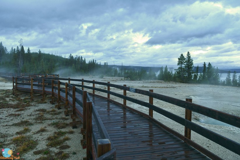
Sadly the cloudy weather did not lead to a spectacular sunrise… it in fact, it was quite a dud. But I really enjoyed having West Thumb Geyser Basin entirely to myself, minus the elk eating breakfast nearby, and later on, NPS employees cleaning the restrooms in the parking lot. And I so rarely use my tripod, so it got its annual trip out of its case out of the way!


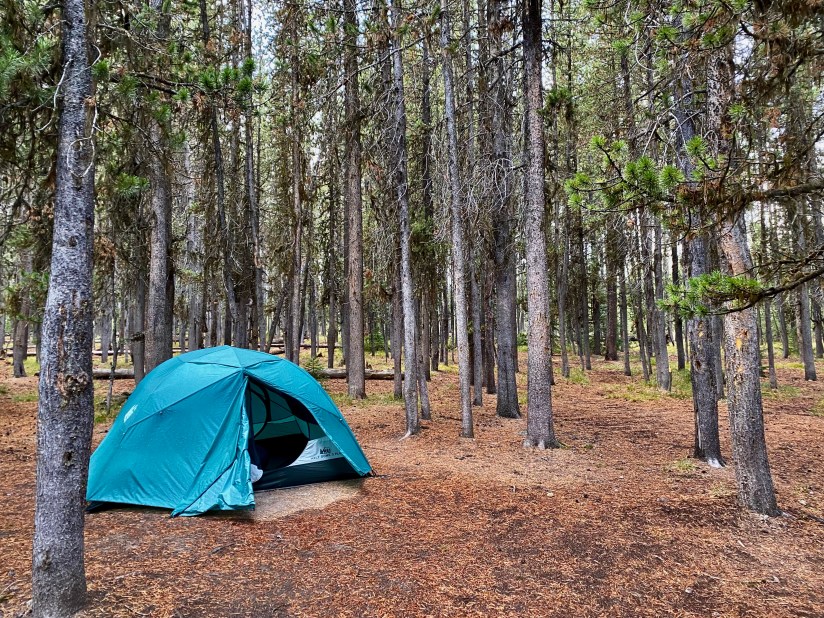
After my sunrise dud, I went back to camp and started packing up my tent, complete with its soggy rainfly. I am happy I had dragged my camp chair under my vestibule before going to sleep, so at least that was not soaked (lesson learned from my 2020 trip when everything got soaked in an overnight storm!).
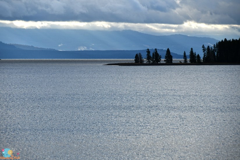
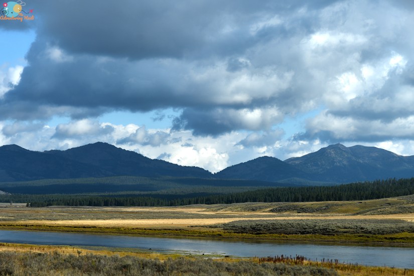
I think the rainy, cool temperatures kept the hoards in bed a bit longer than usual, and it was light traffic as I wound my way around Yellowstone Lake before heading north to the Grand Canyon area.

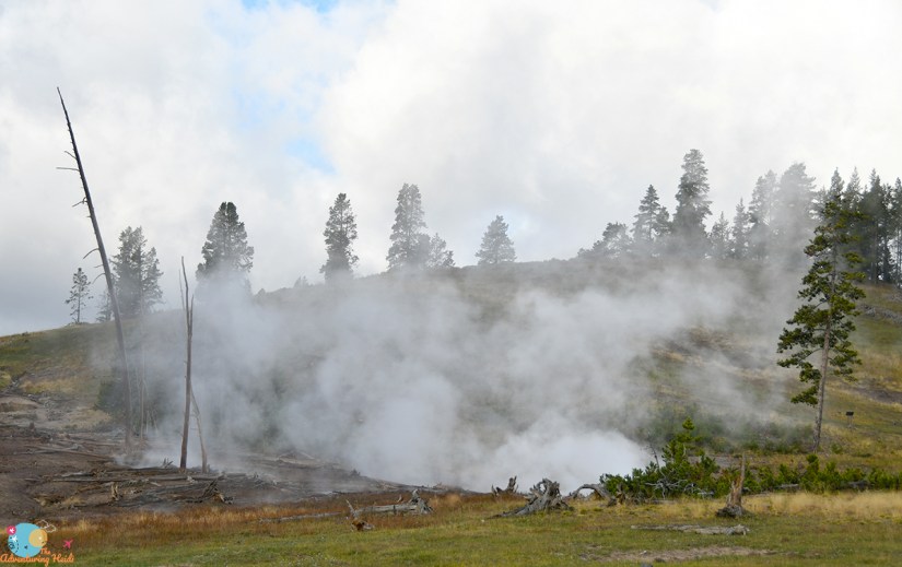

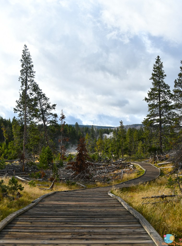
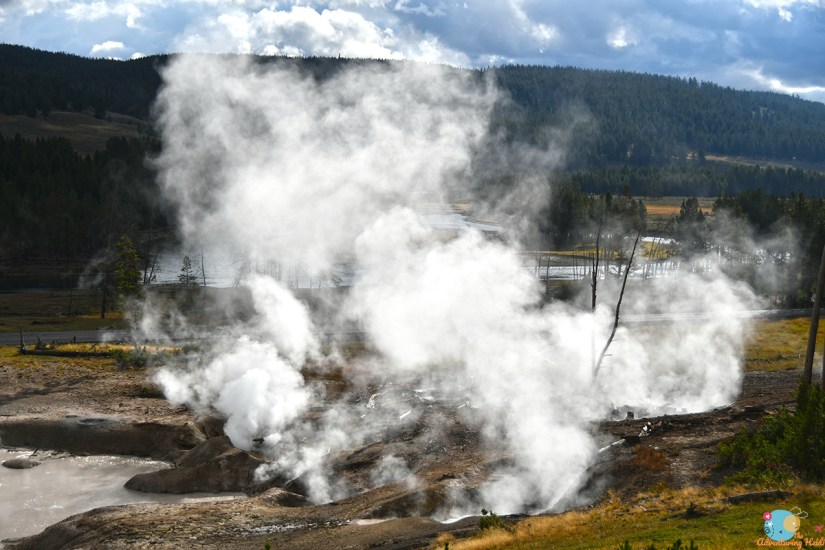
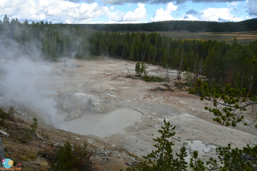
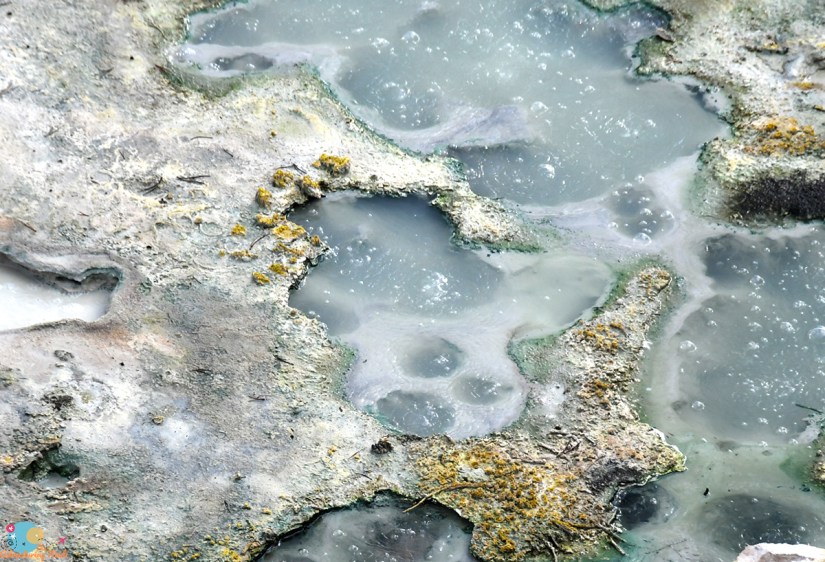
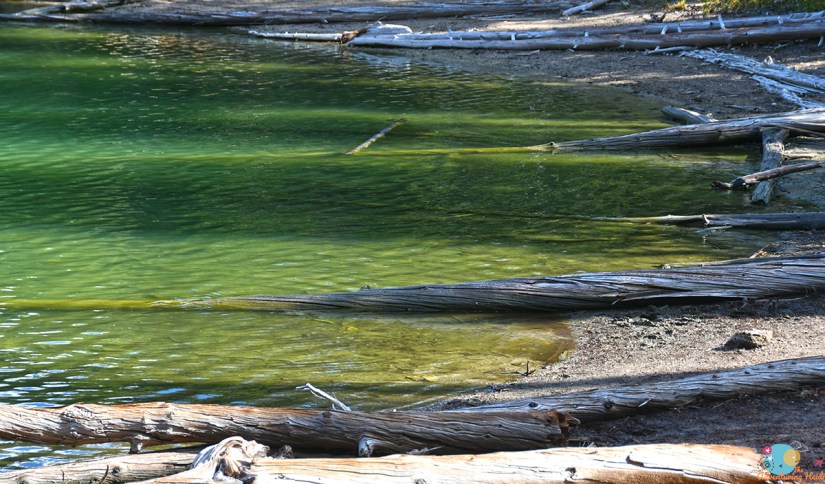
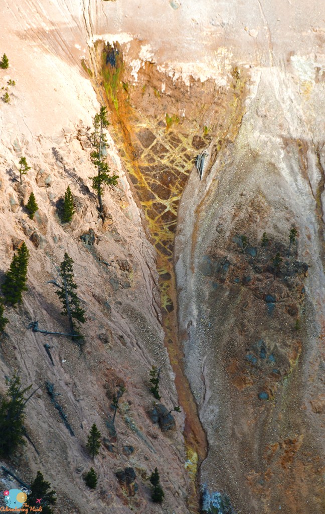
I was planning on stopping at Mud Volcano on the day I left the park, but since the crowds were still small and it was a surreal, steamy scene, I opted to stop. It was still cool enough for my fleece pants and socks with Chacos. I grabbed the Adventure Dinos and set out. Mud Volcano is near the Sour Creek Dome, an area in the caldera where fluctuations in the magma chamber below Yellowstone causes the land to sink and rise. There’s also many faults that converge here, so earthquakes are common, which can change the thermal features (like on Cooking Hillside). It is quite a stinky thermal area, so if you’re sensitive to the smell of rotten eggs (hydrogen sulfide), you may not enjoy your stay. Luckily, for whatever reason, I am not normally bothered by the smell on most days!


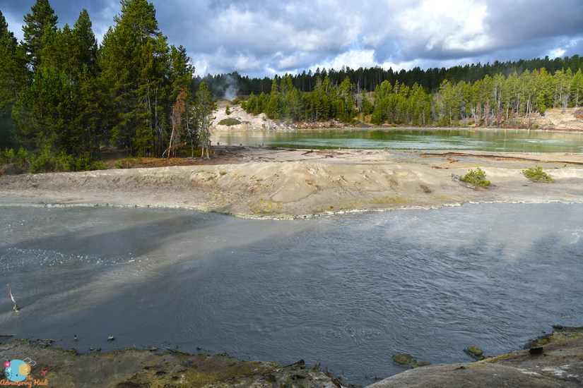


After Mud Volcano I made the 30 second drive to the overlook for Sulphur Caldron, one of the most acidic places in Yellowstone. The average pH is 1-2 here, putting it on par to battery acid.


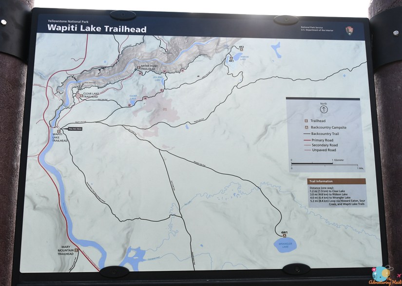
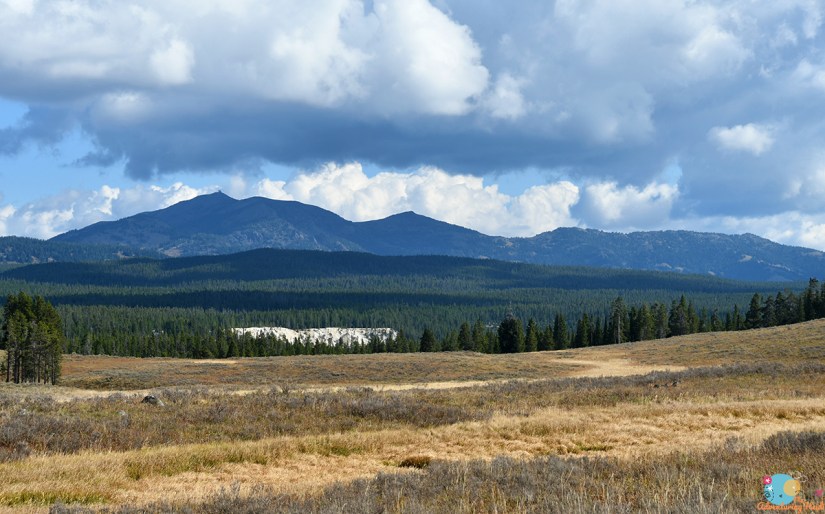
Thermal feature fix done for the day (kind of… at least for an hour, ha!) I made my way through Hayden Valley with only one bison jam, and swung into the Wapiti Lake Trailhead on South Rim Drive.

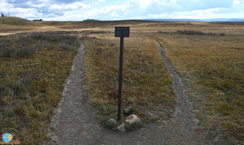
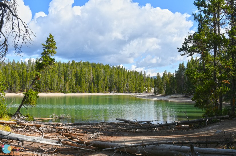
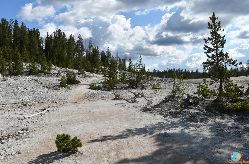
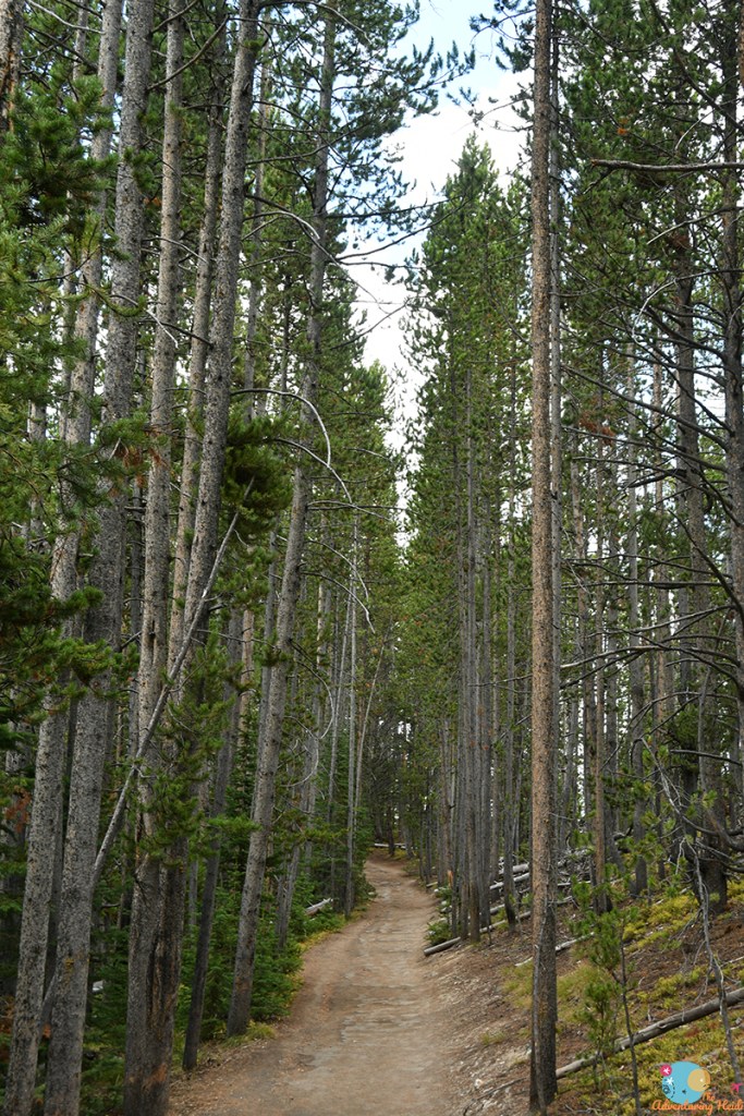
Today I would be doing a hike that I skipped the previous year due to worn out legs, and I was happy to be hiking in some cooler temperatures and to see some new backcountry thermal areas (because after all, it only had been maybe an hour since I saw a thermal feature…). I would loop up to Clear Lake and Lily Pad Lake, and then continue along the south rim of the Grand Canyon all the way back to the car. Overall this hike is about 5.2 miles, but can be shortened by starting and ending at the Upper Falls viewpoint.
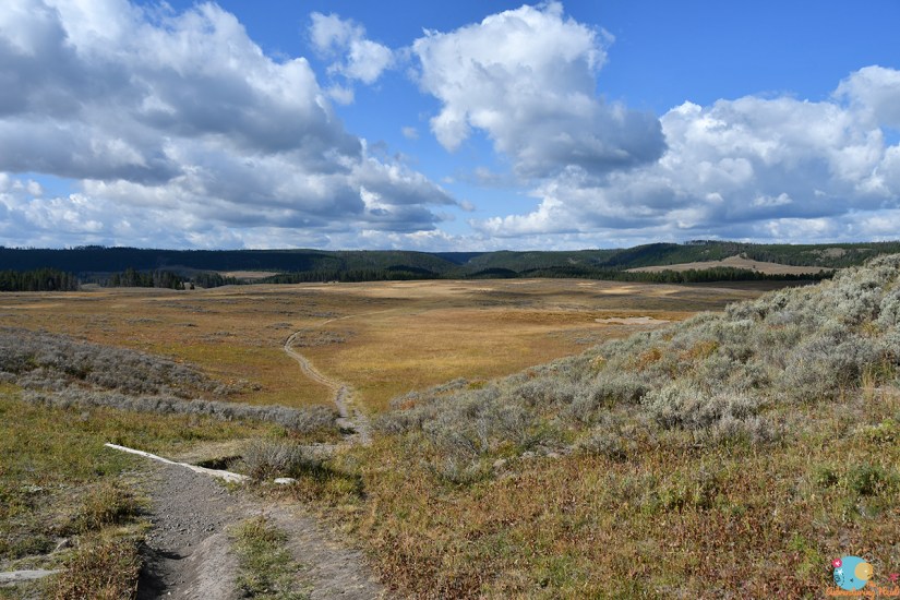
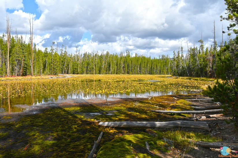
I had another “You’re ALONE?!” moment during this hike that made me pensive. As I was descending into the heart of the Clear Lake thermal field, I came across a couple in fashion shoes, no water, and no bear spray who seemed very out of their element and comfort zone. Then the “you’re alone?!” remark was made. Sigh. My reply was a smile with a happy “yep!” as I hustled on by. They probably thought I was being “unsafe” in this scary, bear filled country. I shared the feelings, except I felt they were the ones being unsafe.
Three liters of water. Hiking boots. SPOT communicator. Bear spray. Pack full of snacks. A lifetime of growing up in the wilderness in Wyoming. Physical fitness to handle a five mile hike. Don’t worry, I got this. Nature is where I feel safe. You know what scares me? Humans and cities. Nature does not. I do what I can to mitigate my risks. I digress… can we just stop commenting on prepared women hiking alone in the wilderness now? Thanks!


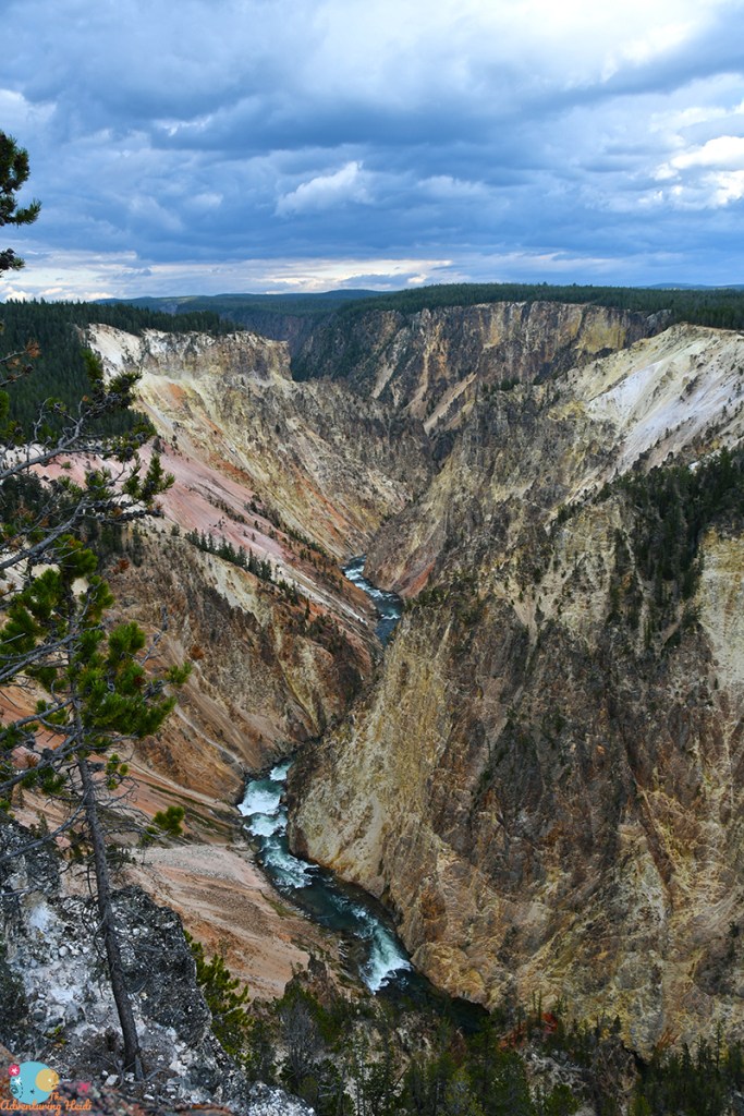
After leaving the thermal area, the trail returns to the forest and passes by Lily Pad Lake before turning north to the Grand Canyon area. I skirted the rim of the canyon (literally sometimes very close).


The rhyolite walls of the Grand Canyon make for spectacular closeups, and I nerded out a bit.


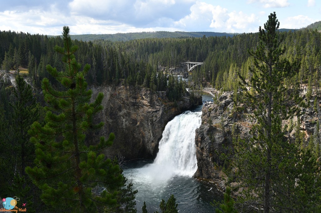
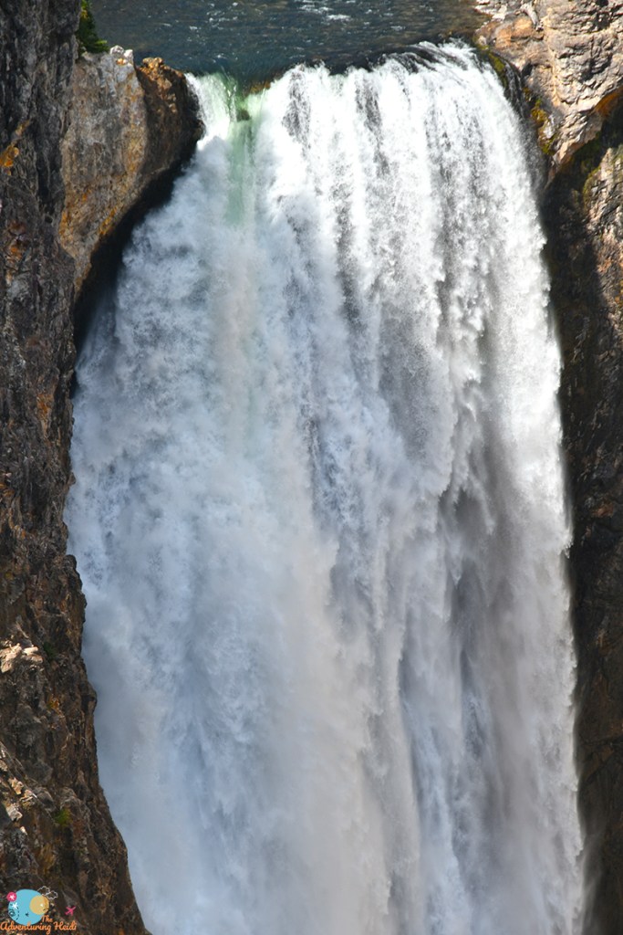
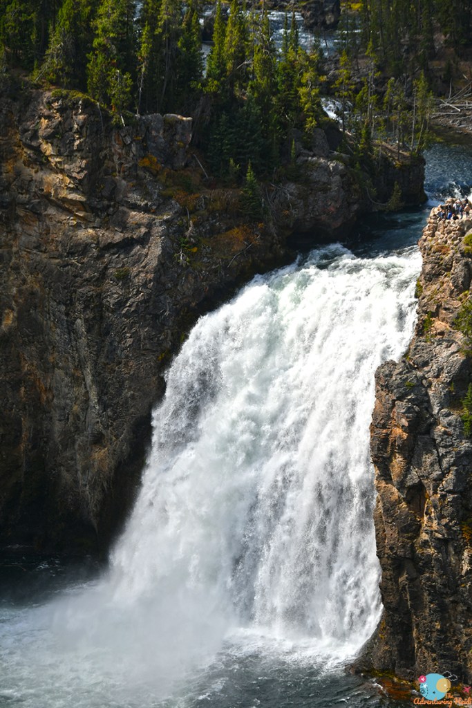
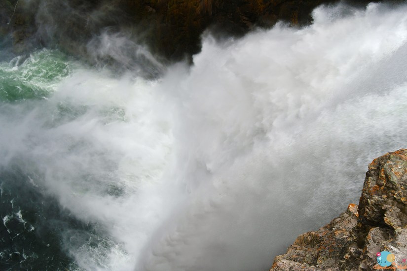
This hike also includes views of Yellowstone’s most famous waterfalls, the Lower and Upper Falls of the Yellowstone River. I was happy I chose to hike in a counterclockwise manner, as I was treated to views of the Lower Falls as I plodded along


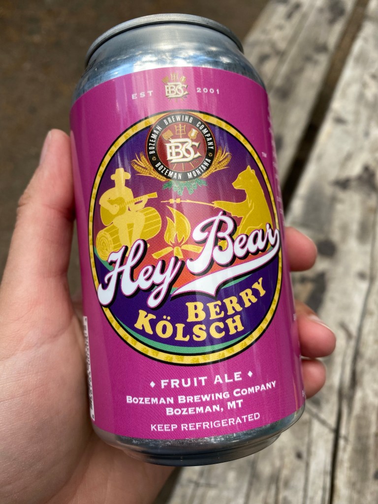
The Canyon area of Yellowstone is insanely busy and popular, so the end of my hike got very peopley very fast, but still was enjoyable. Overall, this hike was one of the busiest I did in terms of seeing other people, but that was to be expected with its proximately to trailheads. After wrapping up my hike, I freshened up and headed to the visitor center, gift shop, and general store (I needed to restock on local beers!).

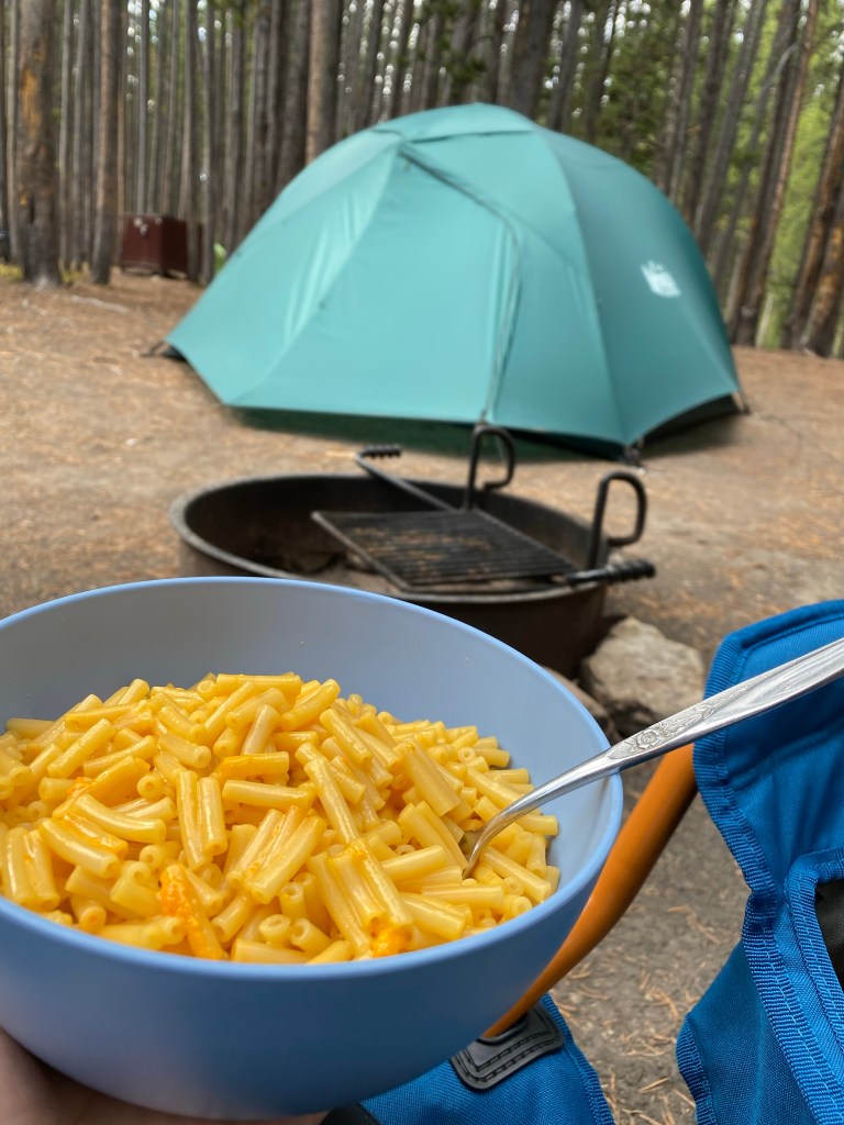
I took the afternoon to check into the Canyon Village Campground, receiving site F111 in a mixed RV/tent area. My site was up a short hill and uneven, but had some space from others. I would be here for my final two nights in the park. I took to setting up my soggy tent, which quickly dried in the sun, and making some lunch.

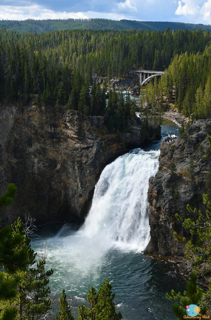
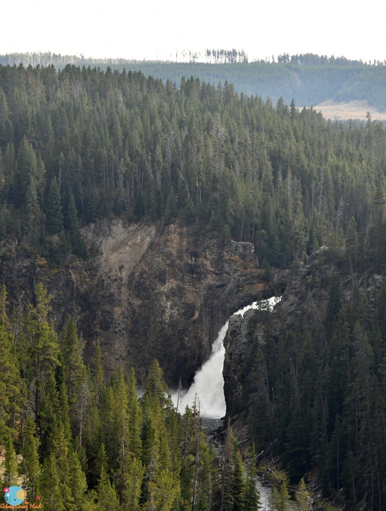
As crowds died down slightly in the late afternoon/early evening, I set out to explore the north rim of the Grand Canyon. First up was Brink of the Upper Falls.


Next up was the descent down to the Brink of the Lower Falls, which involves a jaunt pretty much down the side of the canyon. This is a pretty legit walk of 0.4 mile each way (so just under a mile round trip). It is steep, and sits about 7,900 feet or so in elevation, so it can be a difficult climb out for those with health problems or those from lower elevations. I always end up running down, as it is easier on my knees. Hiking out, this time I decided I wanted to do it as fast as I could without running, and it was actually a lot of fun (I’m so weird, ha!) to see how fast I could climb all that elevation.


I rounded out my evening with stopping at a couple of the other viewpoints, and then headed back to camp for dinner and some relaxing. Only one final full day in Yellowstone left, and I was feeling sad about it as I realized I hadn’t thought about work all week and being with limited cell service meant I really was out of touch and I was loving it.


Leave a comment