
May 2, 2026
Today would be the day… I finally would visit my 100th National Park Service unit! I ideally would have accomplished this in 2025, but two trips that would have landed me there didn’t happen: massive road trip to Alaska with Wrangell-St. Elias National Park as #100 (simply just fell through which was for the best) and road trip around New Mexico with Valles Caldera National Preserve as #100 (federal government shut down). Barring the world imploding in the next forty minutes, #100 would finally be happening!
I shuffled around my itinerary for this strip to purposely land at Johnstown Flood National Memorial as #100. Why, you may ask? Well, I’m a direct descendant of a survivor of the flood! #100 with a personal connection, what could be more special?
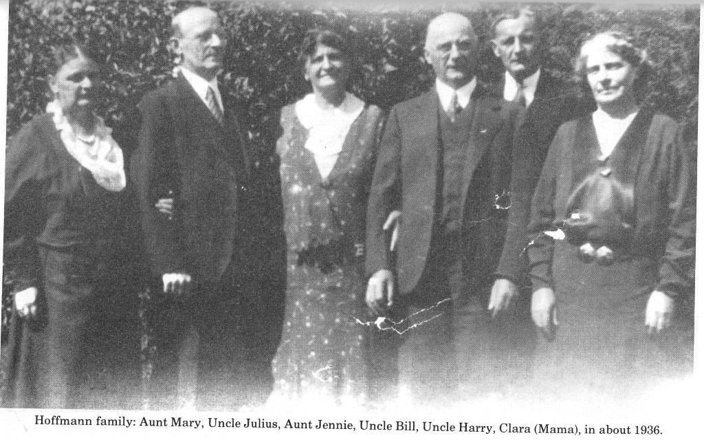
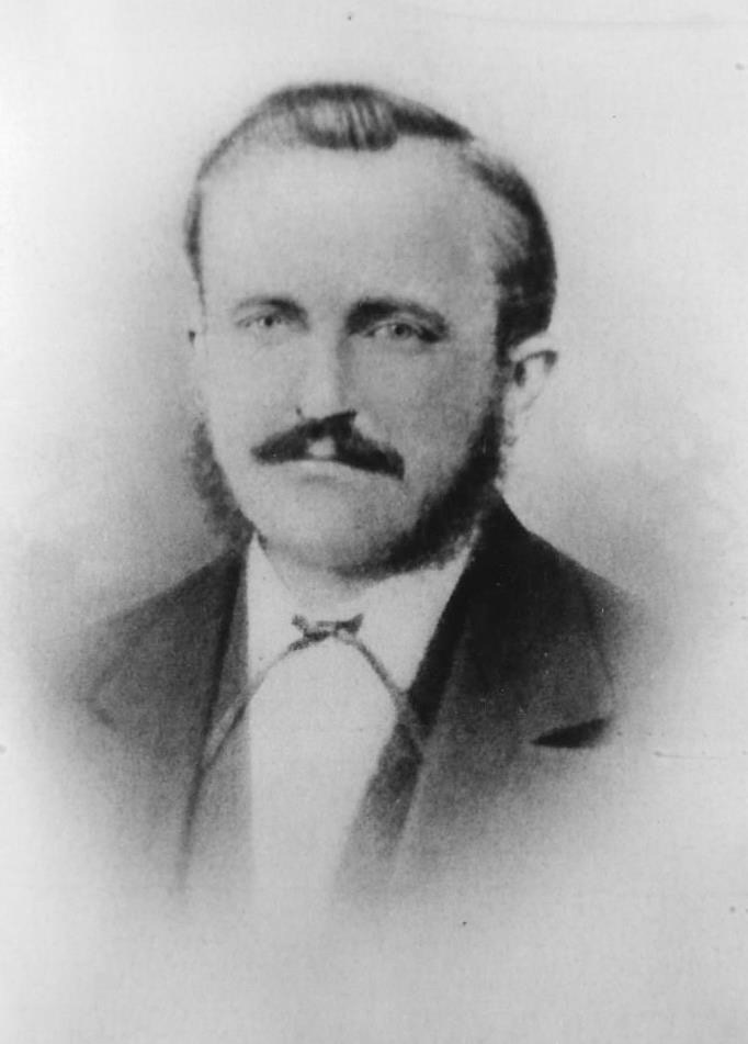
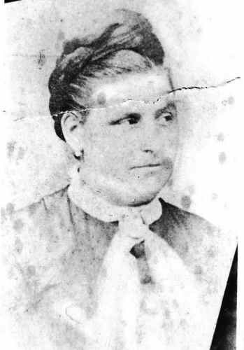
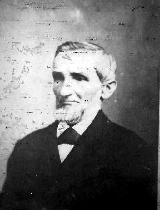
That’s right, my paternal great-grandfather, Julius Hofmann, survived the May 31, 1889, flood as a young child. His parents (my great-great-grandparents, Wilhelm Frederick & Jennie Hofmann, who immigrated from Germany just years before the flood), grandfather (my great-great-great-grandfather, Peter Hofmann), sister (Lena Hofmann), and other relatives all died in the flood. Julius and eight of his siblings survived, taken in by an orphanage. Julius later settled in Pittsford, Vermont, where he owned a bookstore (my mom has recounted memories to me of him sitting on the porch in a rocking chair, and how she has a copy of Heidi that came from his store).
The South Fork Dam failed on Friday, May 31, 1889, and unleashed 20,000,000 tons of water that devastated Johnstown, PA. The flood killed 2,209 people but it brought the nation and the world together to aid the “Johnstown sufferers.” The story of the Johnstown Flood reminds us all, “…that we must leave nothing undone for the preservation and protection of our brother men.”
National Park Service
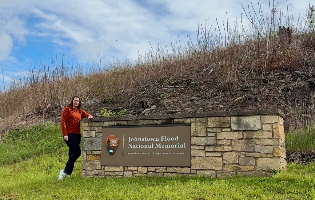
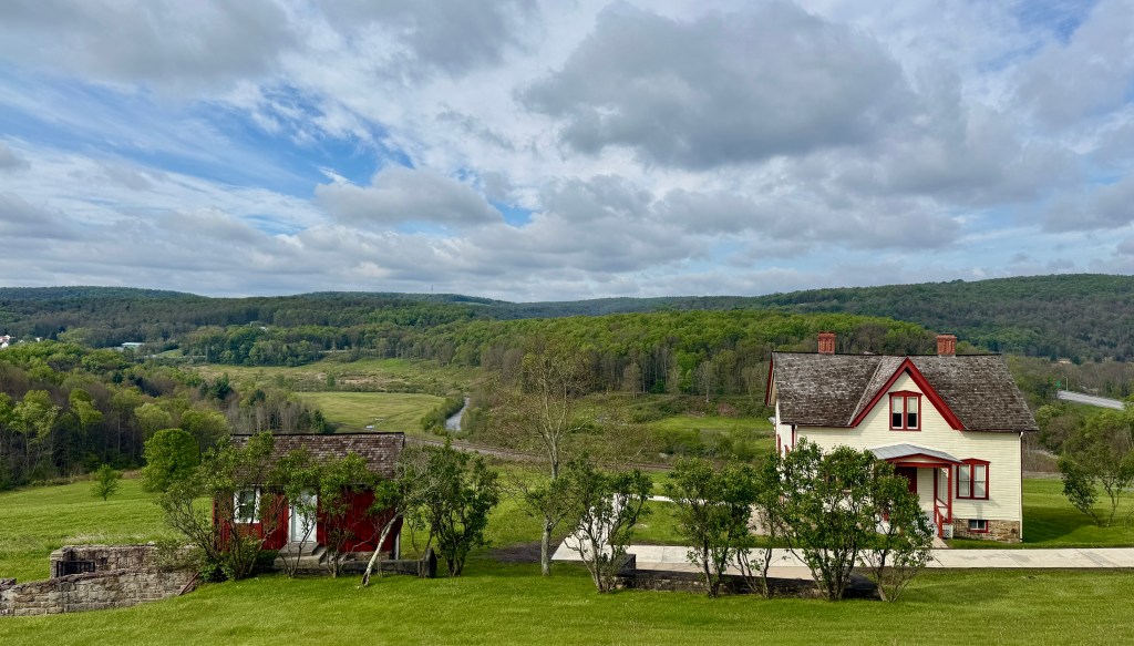
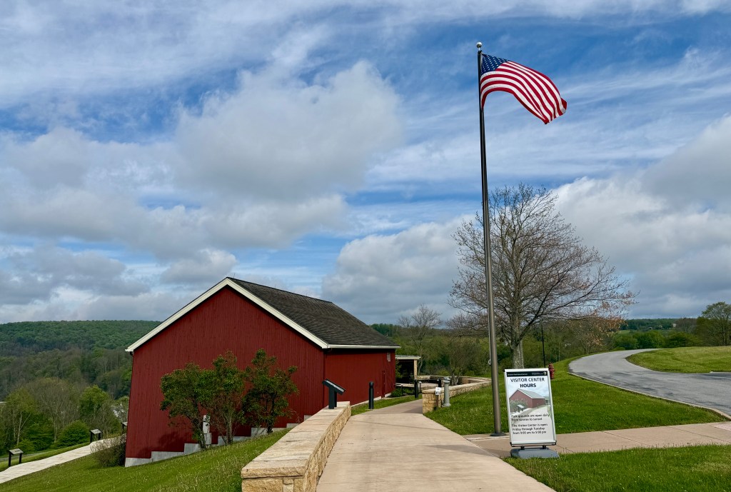
I arrived at the visitor center just as one of rangers were starting the park film, warning of its graphic content. I settled in for the thirty-five minute film, which focuses on the human side of the tragedy. I definitely agree it could scare children (and maybe adults), and it definitely got me pondering if my incredible fear of water was encoded into my genetics. I had listened to some podcast series in the past that discussed more of the ins-and-outs of the South Fork Dam failure, so I did not mind the more human-focus of the film.
After the film, I wandered the exhibits, which give more background on the what and how that the film skips over. I was able to locate my ancestors’ names on the panels of victims, though with the “Hoffman” spelling of their surname.
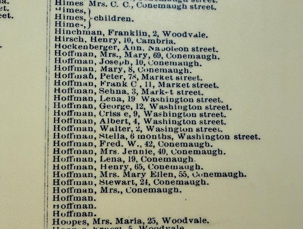
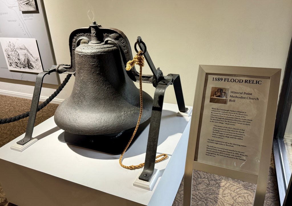
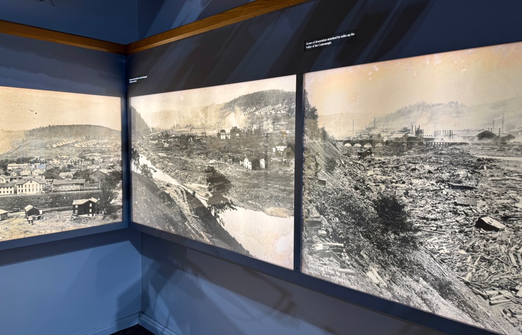
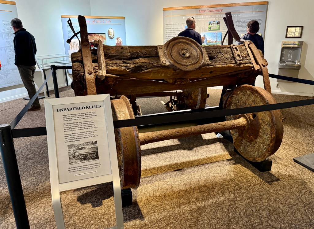
After picking out my patch and postcard souvenirs (the western PA parks have not been a postcard jackpot, so spending was kept in check the entire trip), I chatted up the rangers, who were very excited and engaged in the fact I was a descendent of a survivor and also let out a cheer when I said it was my 100th unit. Ahhhhhh, my people! The ranger (I never caught her name, which I am sad about as she was fantastic and fabulous!) brought out the box of “secret stamps” for my passport, and Ranger M asked if I would be willing to share photos and stories of Julius and other family members with her through email. It was an awesome chat, and it made #100 that much more special to me!
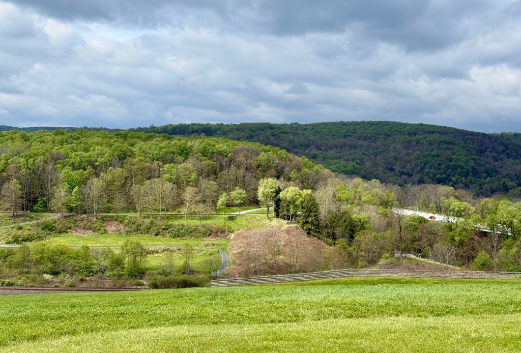
Leaving the visitor center, I excitedly called my mom with the news of the email I would be sending once I was home, and walked down to the Unger House for some quick photos. Then it was just a short bit in the car down to the parking lot for the path out to the north abutment of the dam.
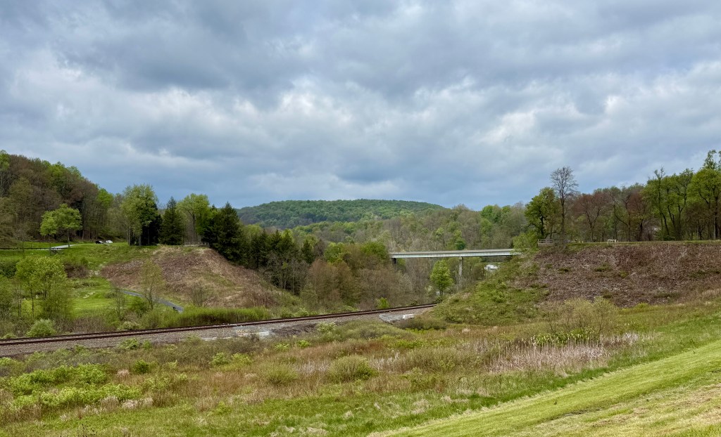
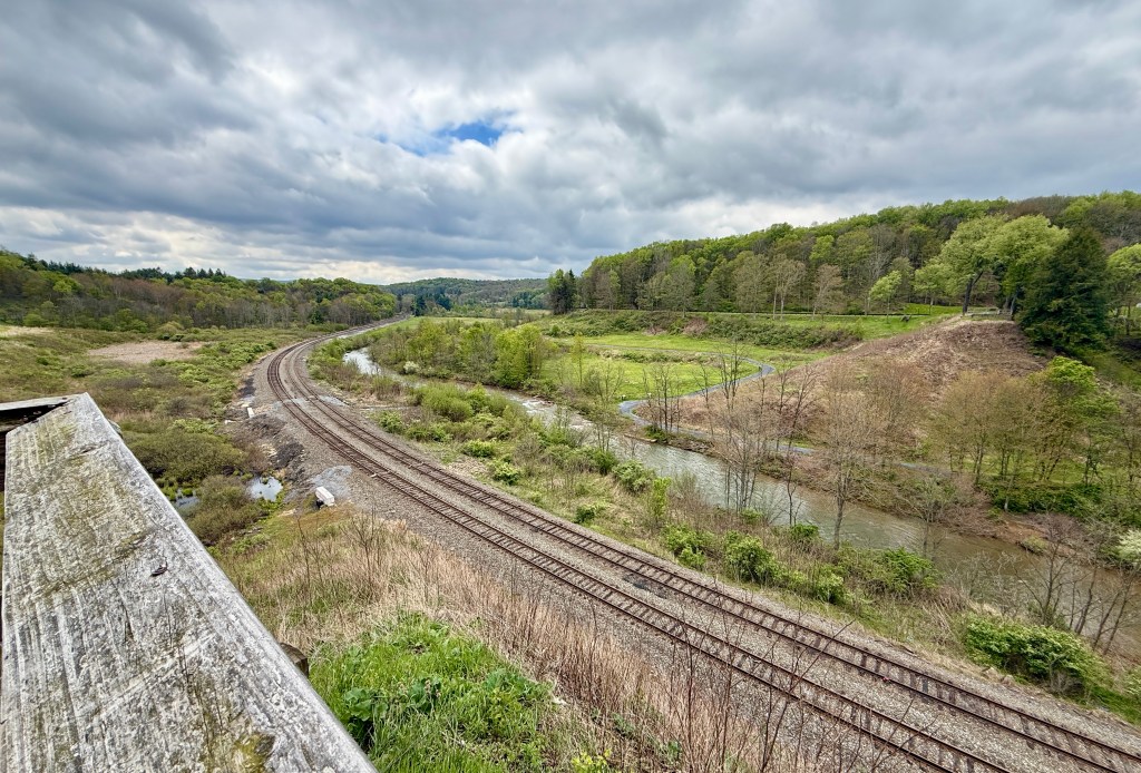
The south abutment of the dam has a small hiking trail, picnic area, and restrooms, so I headed there next. Here is a short trail, Walks Through the Ruins, that leads down to the South Fork Little Conemaugh River and base of the south abutment of the South Fork Dam. Informational signs dot the path. I meandered on the trail, reading the signs, before climbing a steep staircase back to the car.
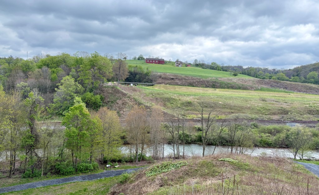
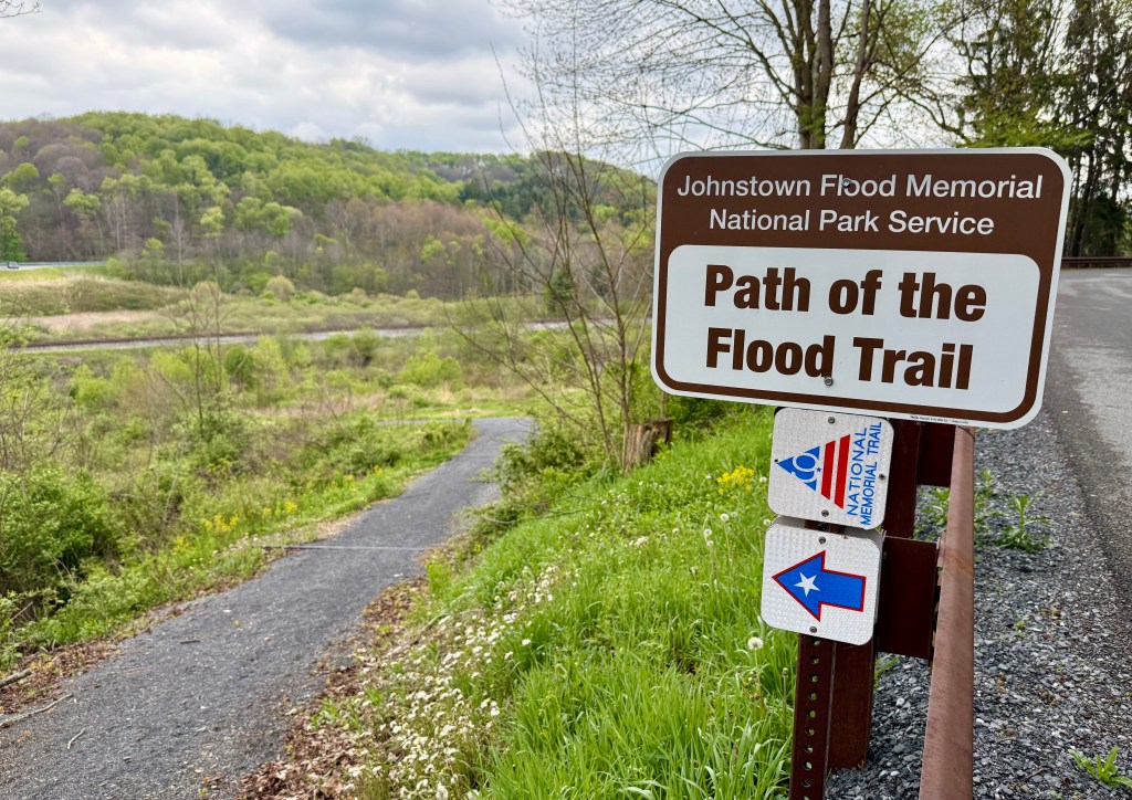
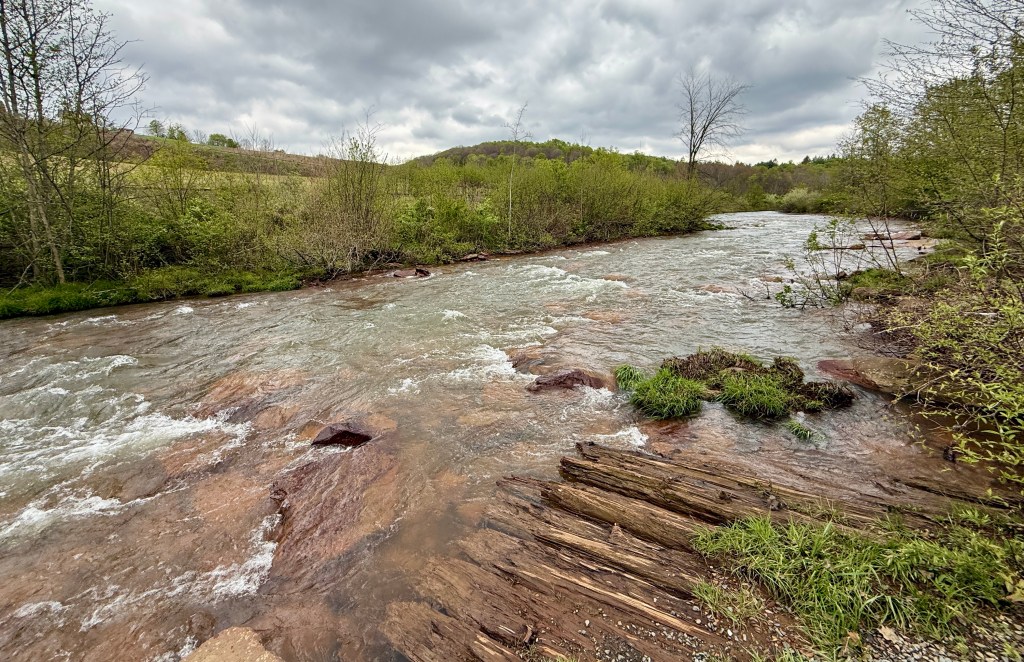
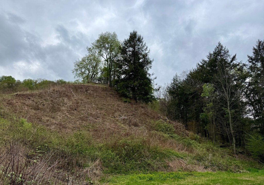
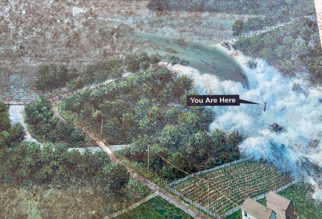
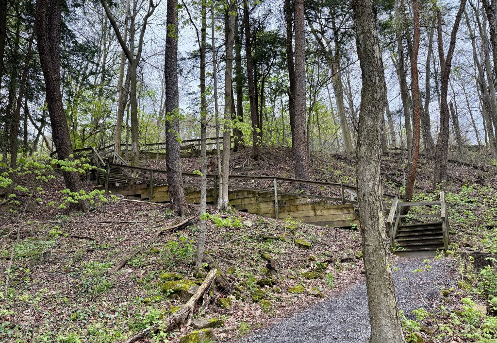
I am really happy I was able to visit this national memorial. I had heard the stories of the flood while growing up, and knew I was a descent, so it was neat to combine my love for NPS units with ancestry travel! While I did not visit the town of Johnstown itself (very little is left from pre-flood of course), I was fulfilled by my visit to the South Fork Dam.
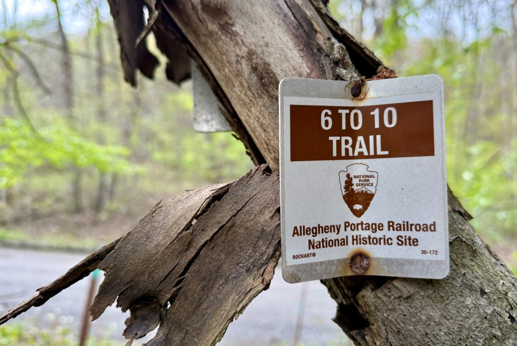
Johnstown Flood activities wrapped up for the day, sights were turned towards my last NPS unit of this trip, Allegheny Portage Railroad National Historic Site. Due to its proximity to Johnstown Flood, I headed to an outlying area to hike the four mile long trail to the Staple Bend Tunnel, the first railroad tunnel built in the U.S.
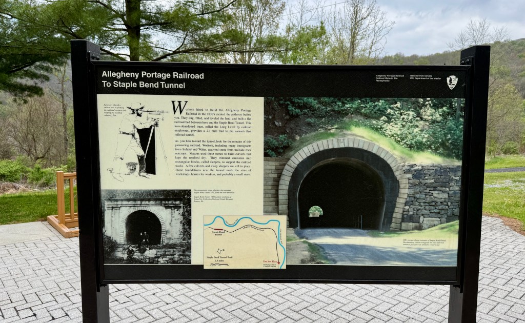
I’ll get into more about what the Allegheny Portage Railroad was when I talk about visiting the Summit Level area. The Staple Bend Tunnel is an outlying area of the national historic site. Under skies threatening rain, I set out on the two-mile walk along the old railroad route to the tunnel
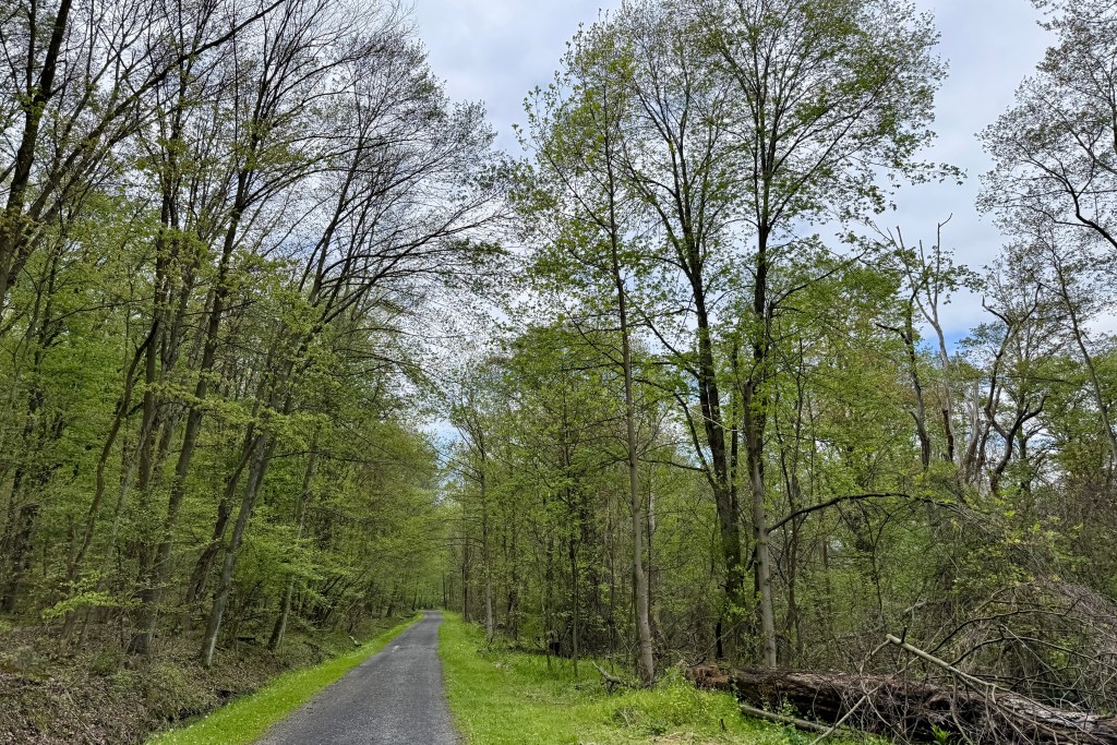
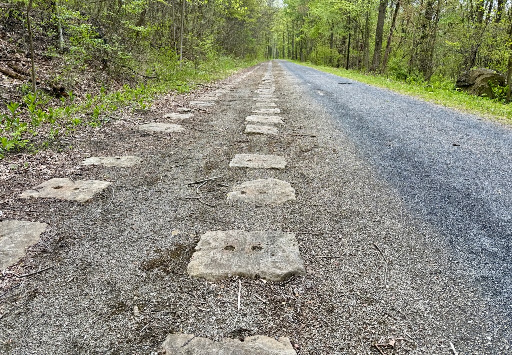
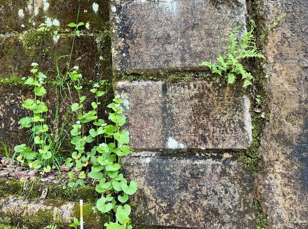
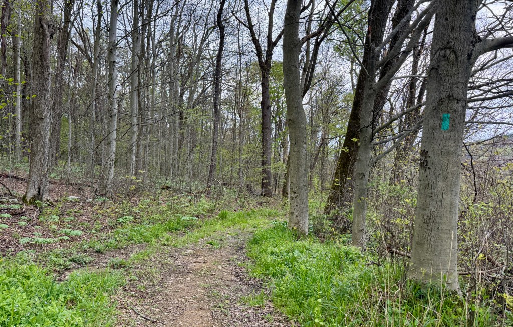
Honestly, the hike out to the tunnel was unremarkable and not quite noteworthy, aside from seeing the old rocks that the rails were tied to along one portion. It is very flat and in a tree tunnel. But I was antsy for some movement and getting in lots of steps, so it was a good excuse for walking four miles.
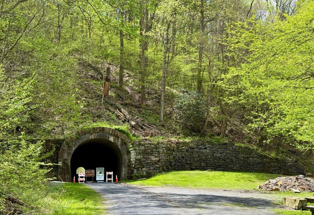
The tunnel is currently closed due to rockfall, though there is a trail that detours around the tunnel so people can continue on. Once I reached the tunnel I was okay with snapping a few photos of the plainer side, and then turning around to do the tree tunnel all over again. I ended up running a few times as the skies looked like they would unleash on me at any moment (I did bring my rain gear along just in case).
Four miles wrapped up in 1 hour 7 minutes (I totally hustled!), I jumped back in the car as sleet and some snowflakes fell. After grabbing a quick lunch at McDonald’s, I arrived at the Summit Level Visitor Center of Allegheny Portage Railroad National Historic Site.
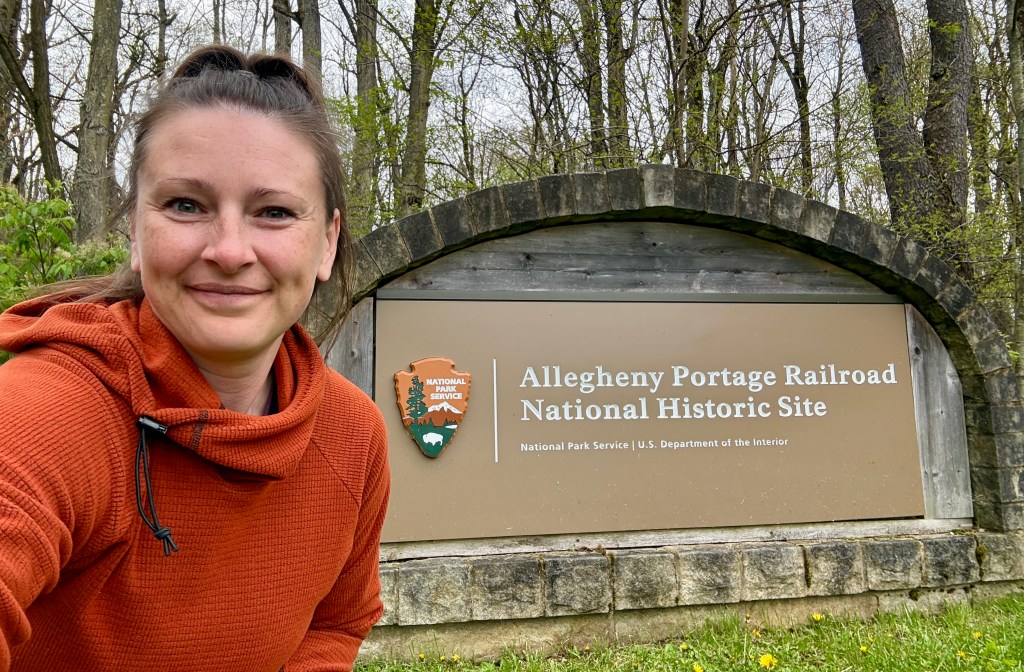
Okay, so what is this railroad?!
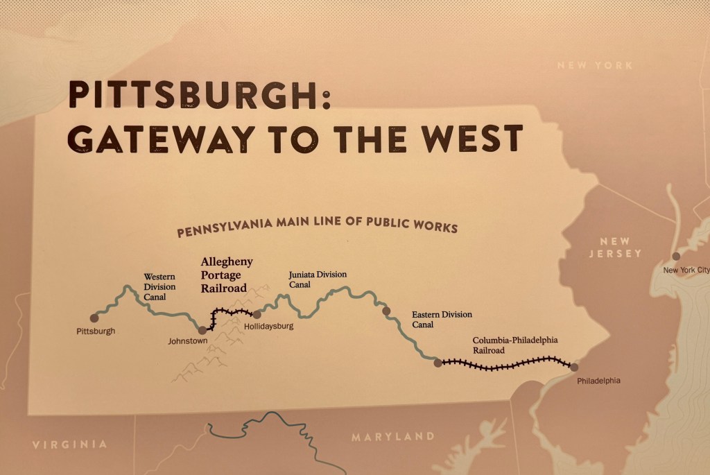
The first railroad to cross the Allegheny Mountains, the Allegheny Portage Railroad was the final piece of the Pennsylvania Main Line Canal. “The Portage” opened in 1834, marking the first time that there was one, direct route between Philadelphia and Pittsburgh. All things to all people, it served merchants, passengers, slaves in pursuit of freedom, and soldiers from the Mexican War.
National Park Service
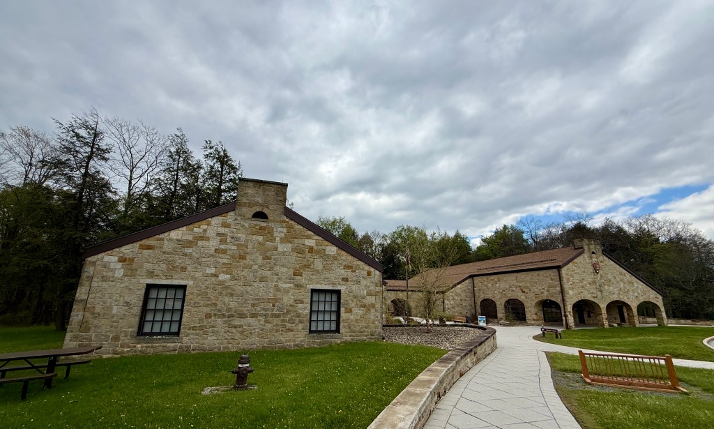
Well, just when I thought I was visiting a normal railroad, I poked around the visitor center and learned boats were put on railcars. Whatttt?? I had a realization I had NO idea about the railroad, and dived in to learn more.
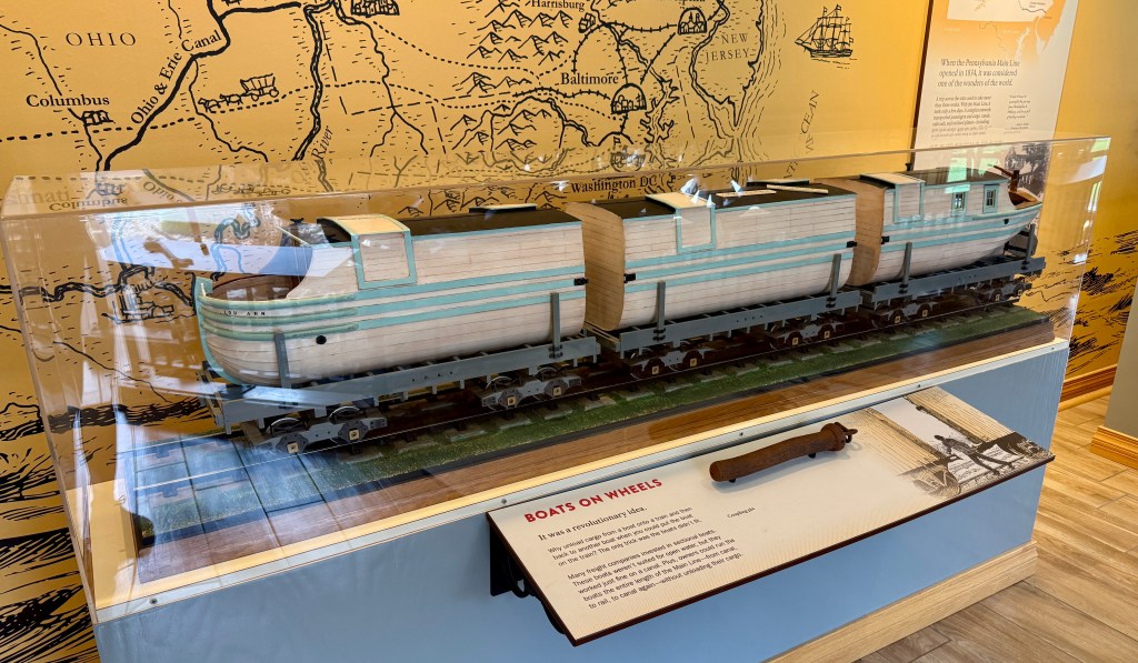
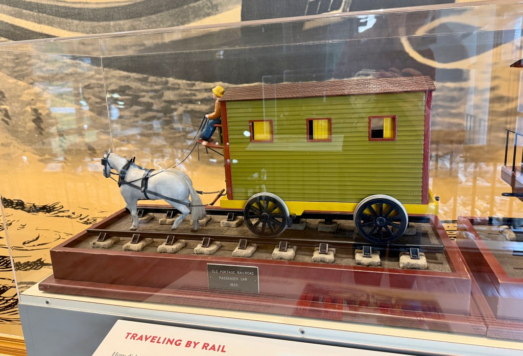
In the early 1800’s travel and trade was done by Conestoga wagons. This was the best means of transportation at that time. It took 23 days to get from Philadelphia to Pittsburgh, when the dirt roads were in good condition.
In the mid-1820’s the state of New York built a canal system which let trade become more efficient. This was known as the Erie Canal. Pennsylvania’s business in trading relations dropped and plans began for building their own canal system. In February 1826 the Main Line of Public Works was authorized by the Pennsylvania legislature to begin the building of canals from Philadelphia to Pittsburgh. There was only one problem with the building of the canals, the Allegheny Mountains. How could a canal system be built through or over the mountains?
The first plan was to build a four mile tunnel through the bottom of the mountain, but this was found costly and unrealistic. Tunnel building was new and it was questionable if water could be kept in the tunnel. It was decided to build a railroad system of ten inclined planes, 5 ascending and 5 descending. This system was modeled after a similar system in England.
The railroad was equipped with ten inclined planes, five on each side of the mountain. At the head of each inclined plane were stationary engines, which moved endless ropes to pull the railroad cars up the mountain. This incline system was used because the locomotives of this time did not have the power to pull the cars up the steep mountains. Locomotives were used on the more level areas of the mountain. The Allegheny Portage Railroad was 36 miles in length connecting the Hollidaysburg Canal Basin with the basin at Johnstown where canals finished the Public Works system into Pittsburgh.
National Park Service
Okay, things are finally making a lot more sense!
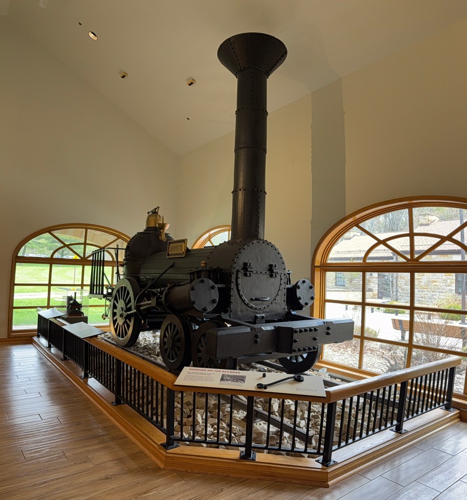
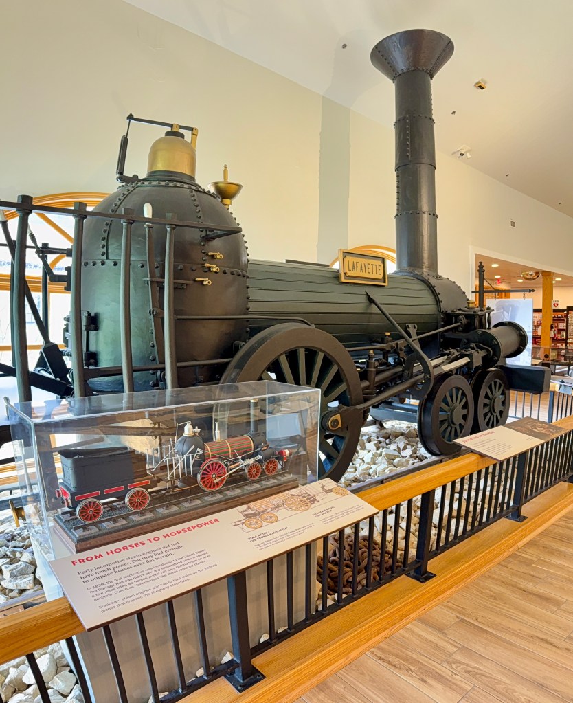
Visitor center explored and duties handled (souvenir patch and postcards acquired along with passport stamps!), I headed out to explore the area, hoping the rain would hold off, especially for the teens freezing in prom dresses taking photos! (It was a beautiful spot for photos, to be fair!). The path gently switchbacks down the hill towards Engine House No. 6. I reached a turn off for the trail to the Skew Arch Bridge, so I decided to head down there, thinking it would just be around the corner.
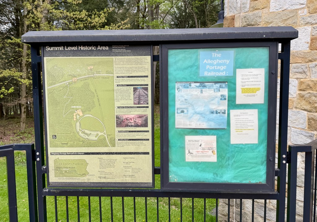
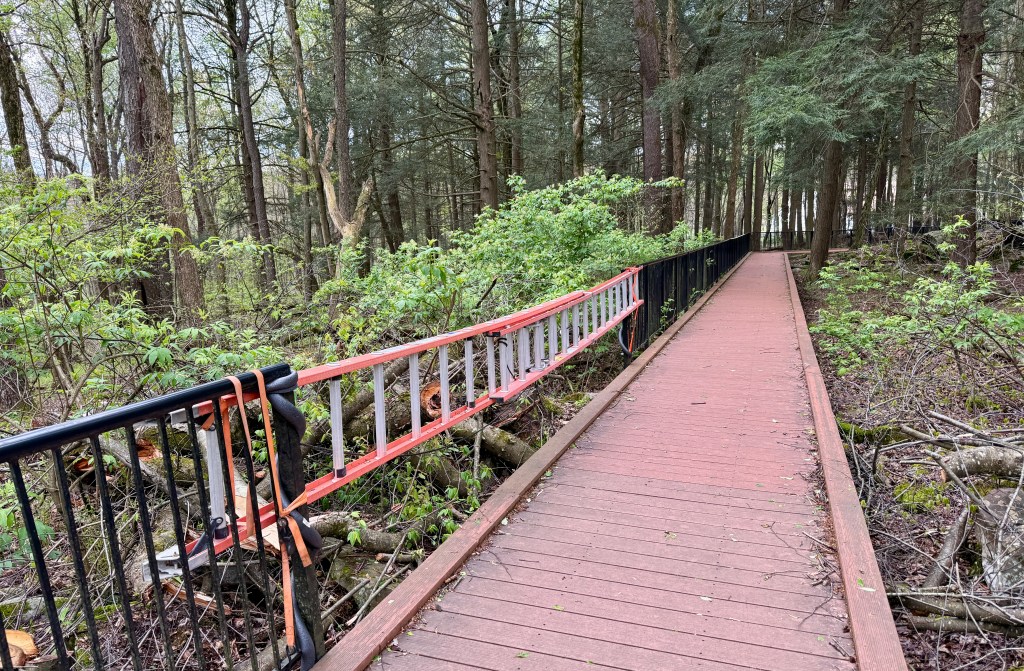
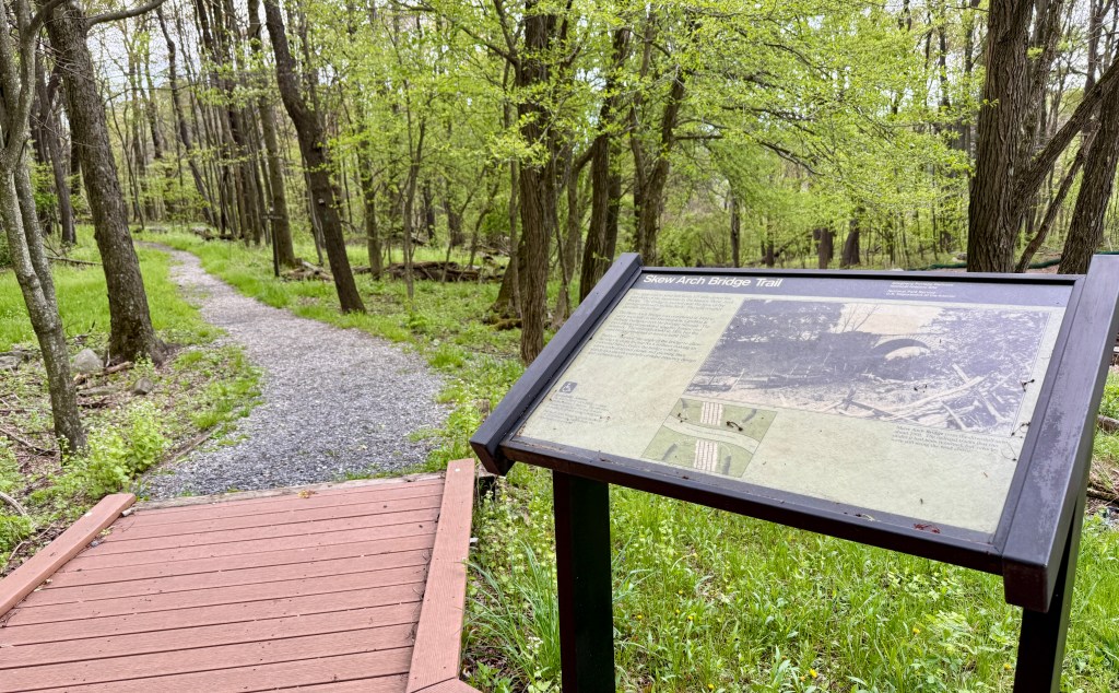
Well, it was a sloppy, muddy, steep half-mile trek, but I made it to the Skew Arch Bridge , conveniently next to the highway (so I could’ve driven…). I laughed at the absurdity of my adventures, snapped some photos, eyed the rain clouds, and headed back up the muddy hill.
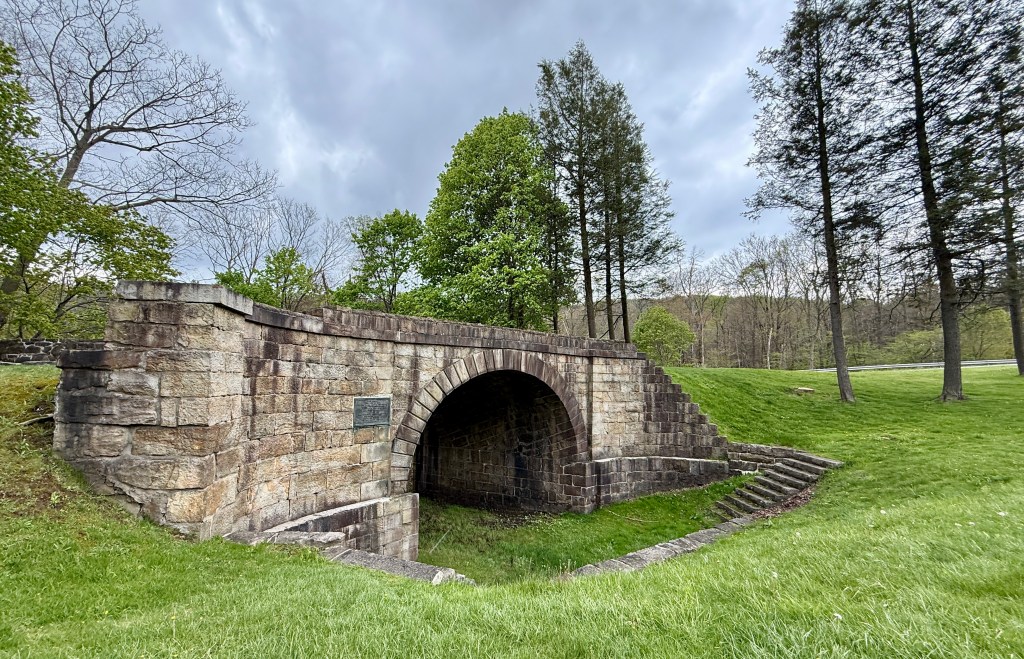
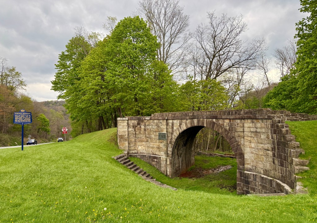
Back on level ground, I took to checking out the reconstructed Engine House No. 6 at the top of Incline 6. I found the giant ropes and pulley system pretty neat (considering I went into this thinking the site was all about a “normal” railroad, I guess it ended up being all neat!).
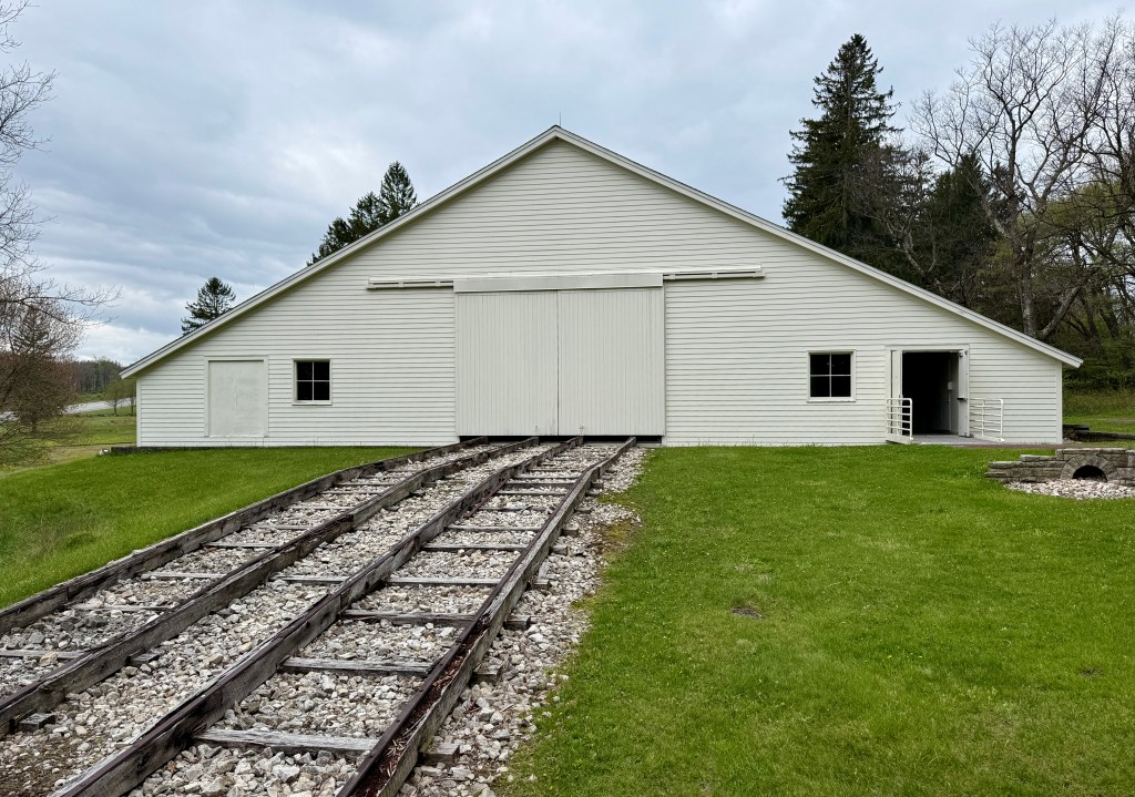
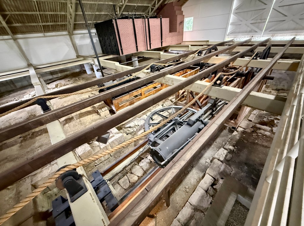
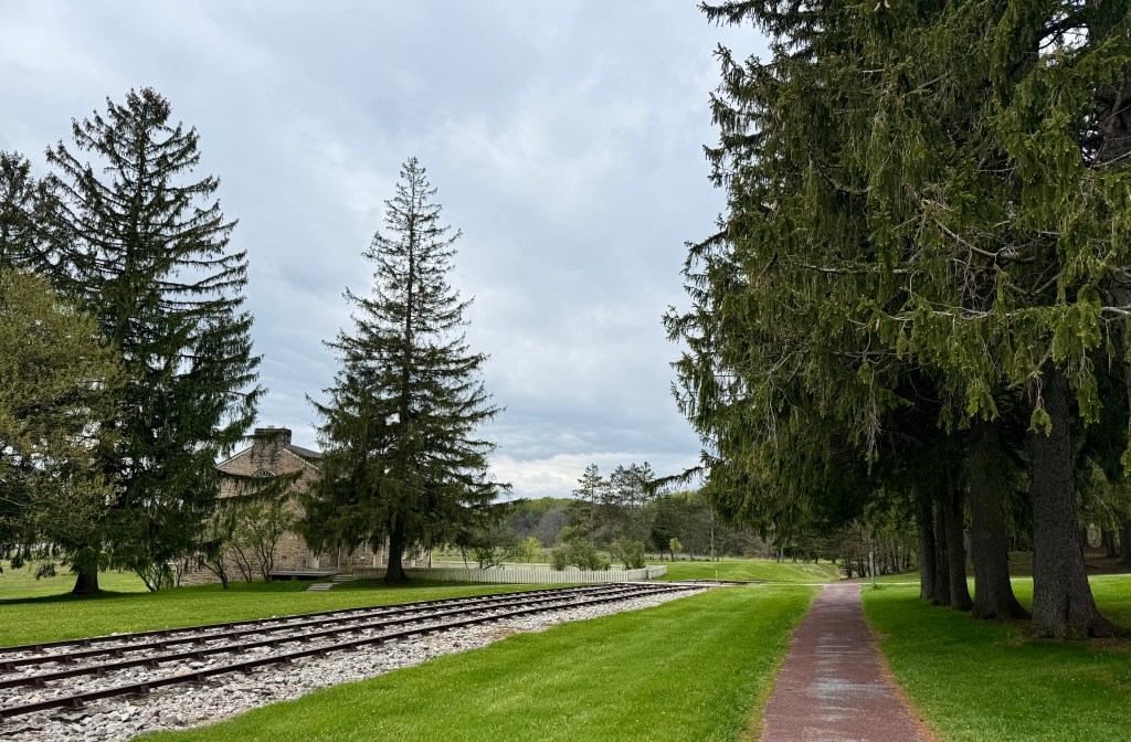
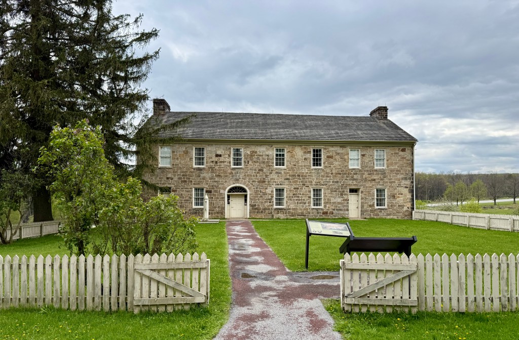
Next up was the first-floor of the Lemon House. Restored to its 1840s appearance, I wandered from room to room, feeling that eery old house feeling. Probably didn’t help that I was alone in the house, but the walls had stories…
Samuel and Jean Lemon were the proprietors of the Lemon House Tavern. Travelers on the Allegheny Portage Railroad would stop to get a drink, get something to eat, or just rest as their trains were being prepared for the rest of the journey on the Allegheny Portage Railroad.
National Park Service
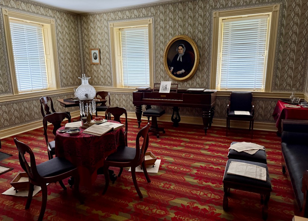
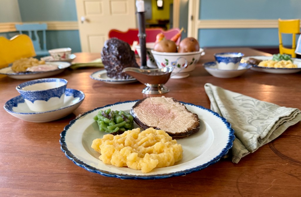
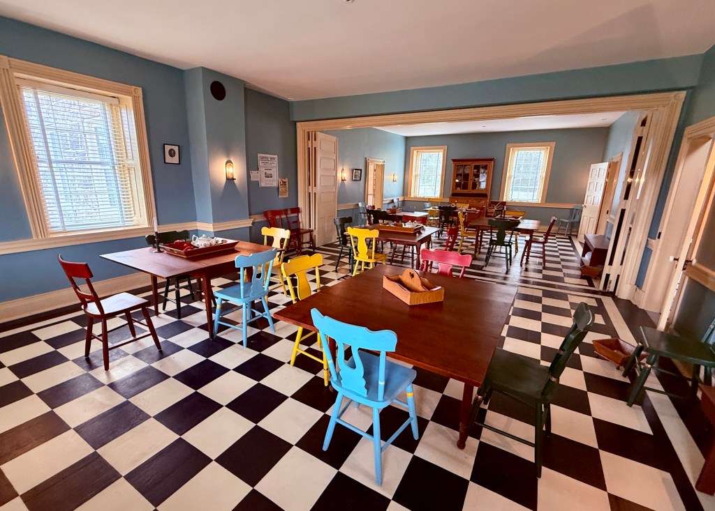
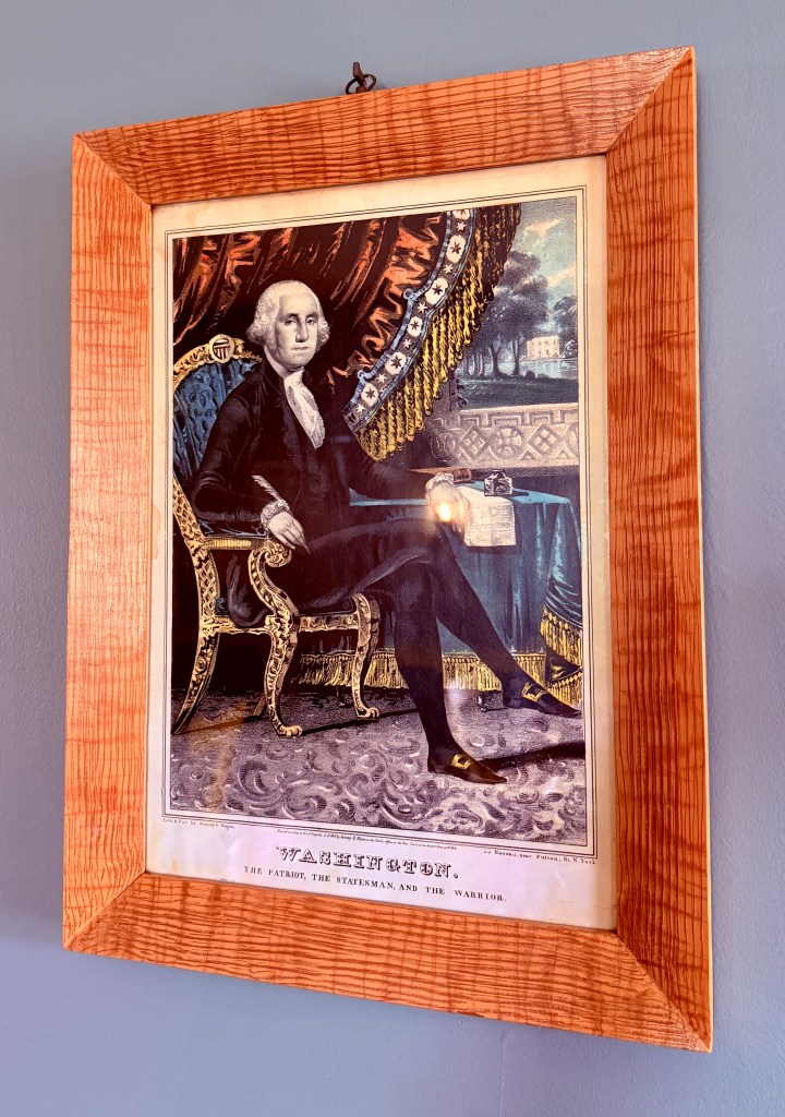
Sightseeing wrapped up, I wove my way through the prom photo-takers back to the car. I scribbled out some quick postcards, and then turned the car west. The grand western Pennsylvania road trip was coming to a finale, with just several hours of driving back to Pittsburgh airport left. Proud moment was successfully driving through downtown Pittsburgh – go me! I stayed near the airport in a hotel filled with youth hockey players and a lone rental mini van in the parking lot with Colorado plates. Five National Park Service units, two state parks, one UNESCO World Heritage Site, and two state highpoints… I declare this latest adventure a success!





Leave a Reply