
October 3, 2022
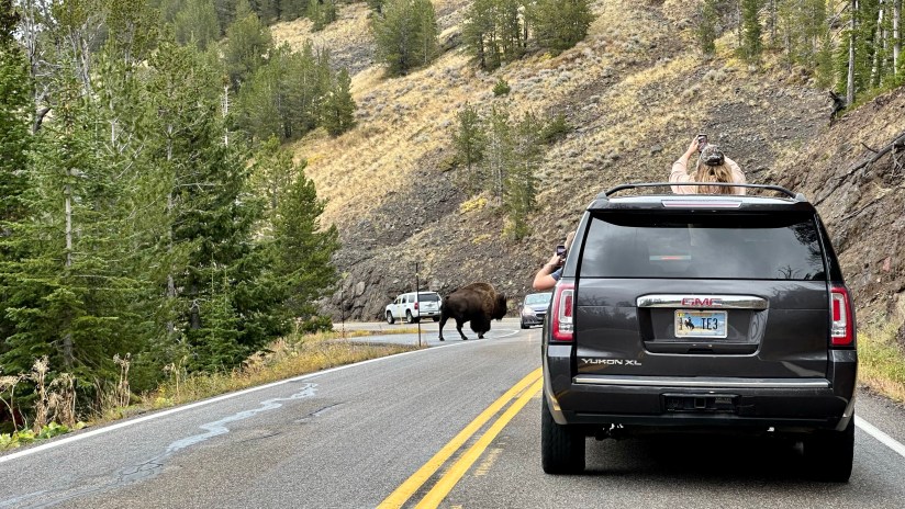
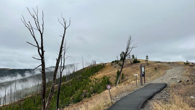
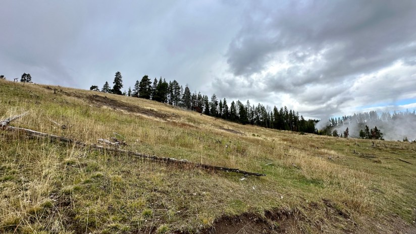
The final full day in Yellowstone arrived as we crawled out of the rain soaked tent that was thankfully still keeping us perfectly dry inside despite being solidly drenched for four nights. It seemed like the precipitation was holding off, so we quickly packed up the wet tent as best as we could, and set out east towards Norris Geyser Basin.
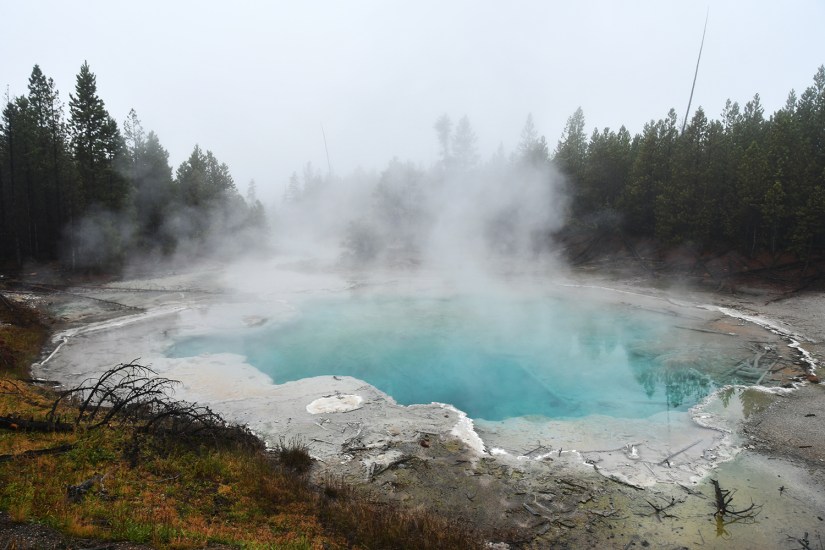
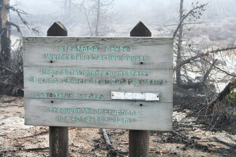
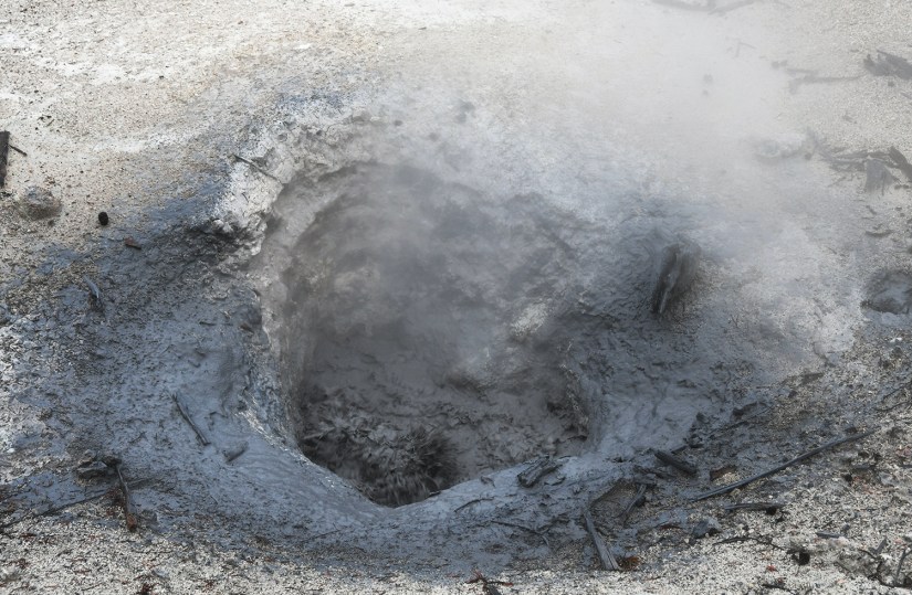
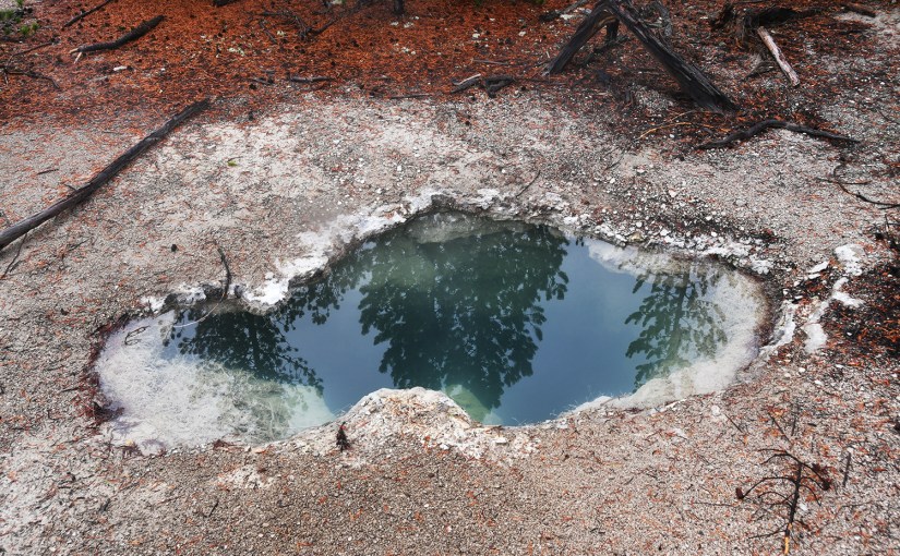
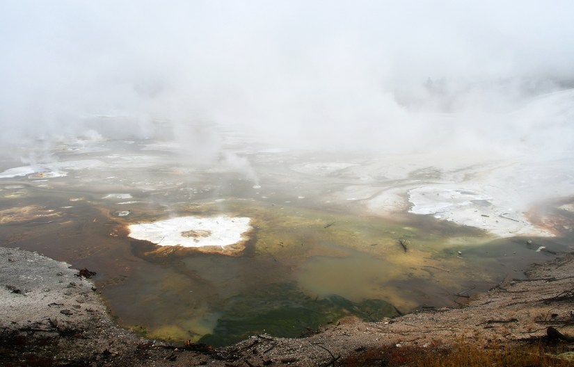
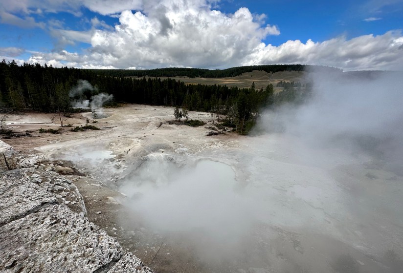
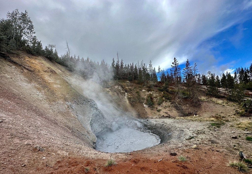
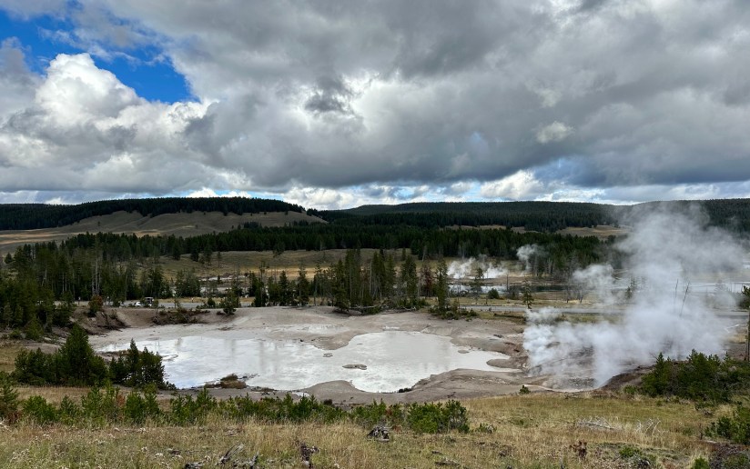
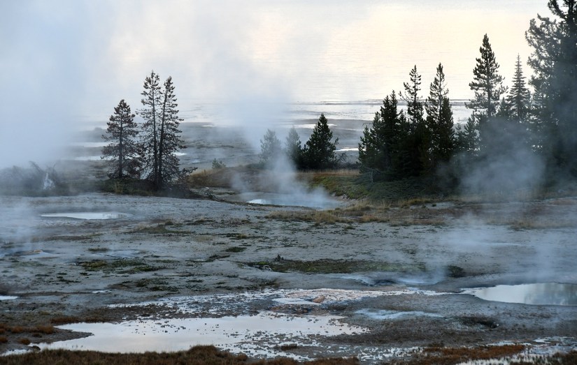
Norris Geyser Basin is my favorite. Not only is it home to the world’s tallest active geyser (Steamboat Geyser), it is the oldest (about 115,000 years old) and hottest geyser basin in Yellowstone. Most of the features are also acidic (acid geysers are pretty damn rare). To boot, it sits at the intersection of two faults!
Norris Geyser Basin sits on the intersection of major faults. The Norris–Mammoth Corridor is a fault that runs from Norris north through Mammoth to the Gardiner, Montana, area. The Hebgen Lake fault runs from northwest of West Yellowstone, Montana, to Norris Geyser Basin. This fault experienced an earthquake in 1959 that measured 7.4 on the Richter scale (sources vary on exact magnitude between 7.1 and 7.8).
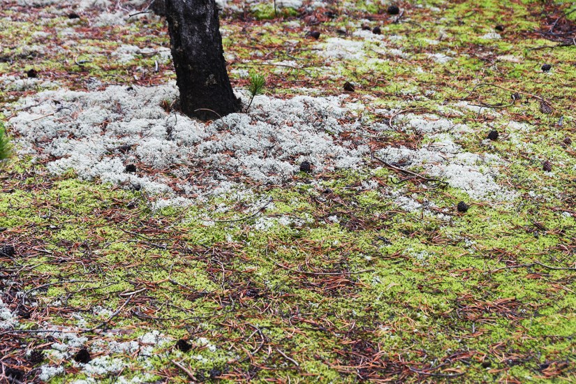
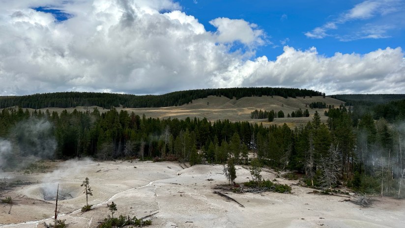
These two faults intersect with a ring fracture that resulted from the Yellowstone Caldera of 600,000 years ago. These faults are the primary reason that Norris Geyser Basin is so hot and dynamic. The Ragged Hills around parts of Back Basin and are thermally altered glacial moraines. As glaciers receded, the underlying thermal features began to express themselves once again, melting remnants of the ice and causing masses of debris to be dumped. These debris piles were then altered by steam and hot water flowing through them.
National Park Service (https://www.nps.gov/yell/planyourvisit/norrisplan.htm)
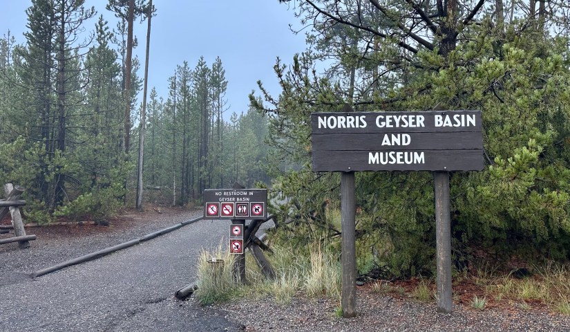
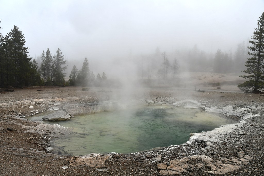
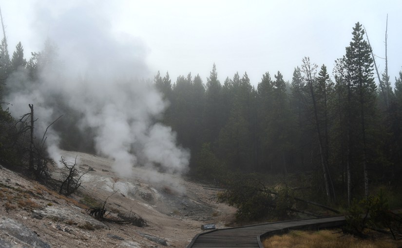
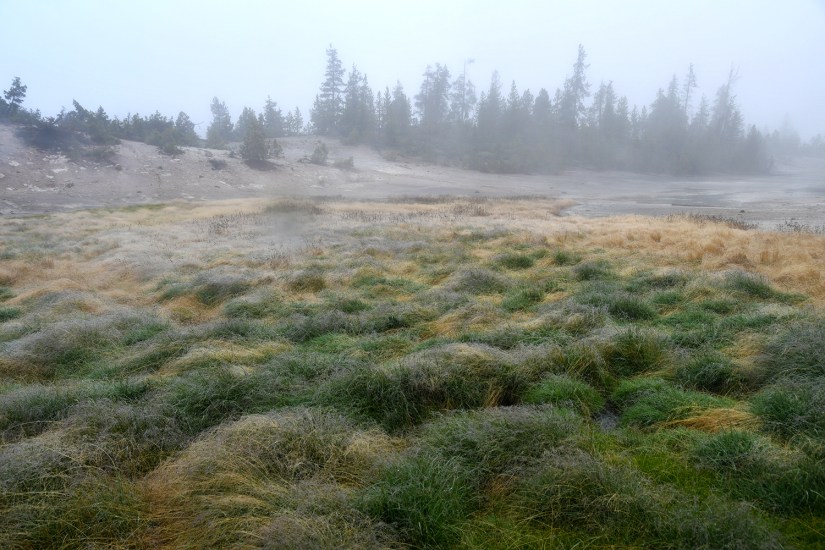
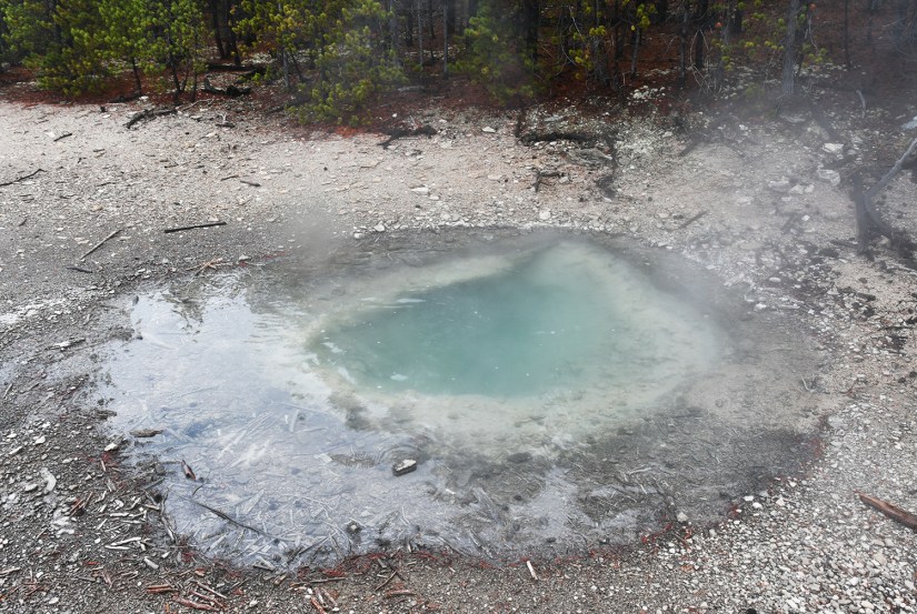
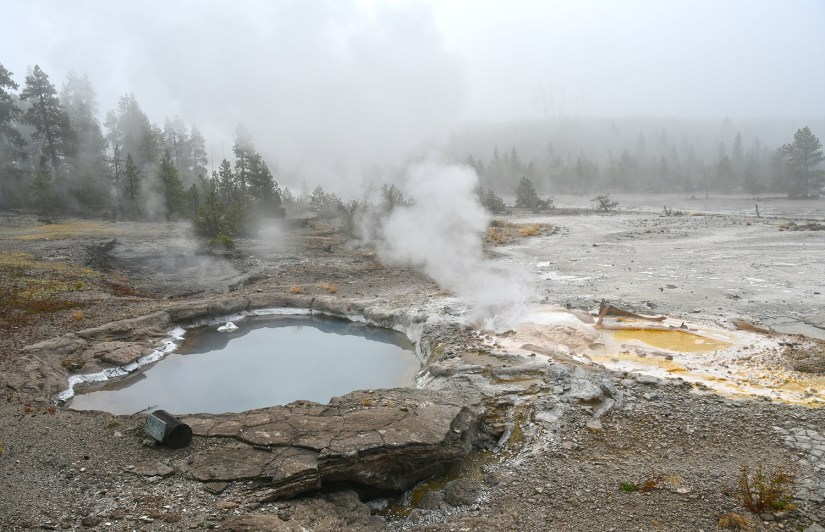
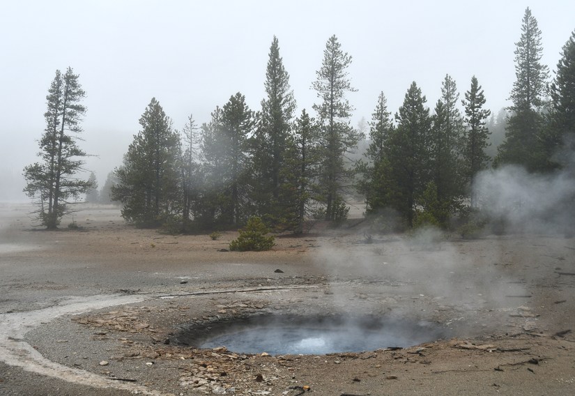
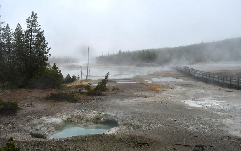
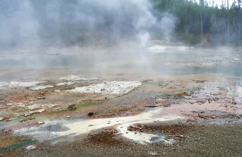
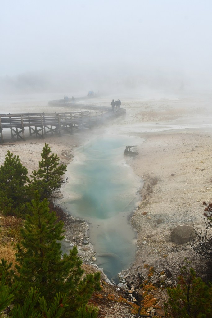
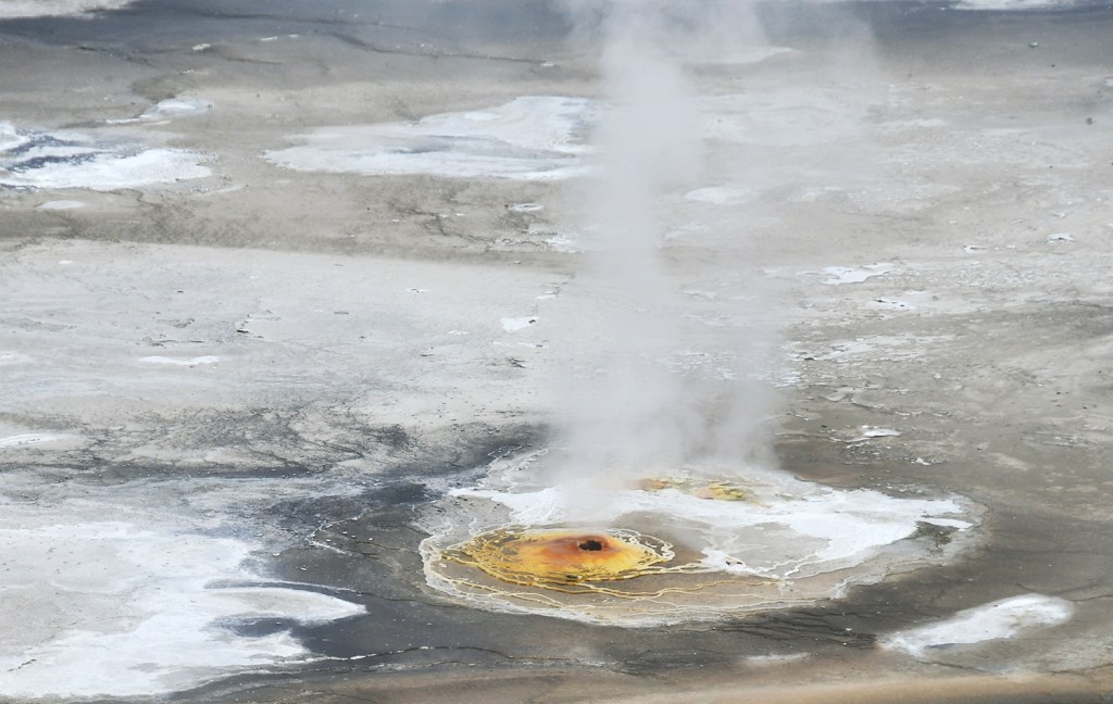
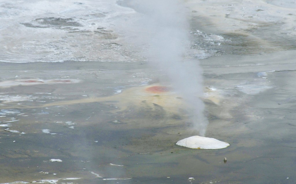
Eric and I were one of the first cars to arrive in the parking lot, and the garbage truck was the only activity going on. I quickly boiled some water so we could take our coffee to go as we meandered on the miles of boardwalks. Norris Geyser Basin is divided into two basins for boardwalk purposes (but really it’s all the same geyser basin system), the Back Basin and Porcelain Basin. I figured we would start with the Back Basin to give the sun some time to rise and burn off some steam before hopefully ending with a bang at Porcelain Springs, which in my opinion is one of the most unreal places on Earth. We made our way straight to Steamboat Geyser. During my visit last year the boardwalk was icy, and I was slip and sliding all over the place, but luckily there wasn’t as much ice, and I was wearing Crocs, which are grippy. Check hiking in Crocs off the bucket list…
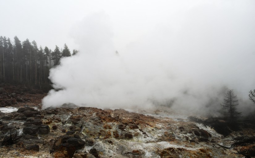
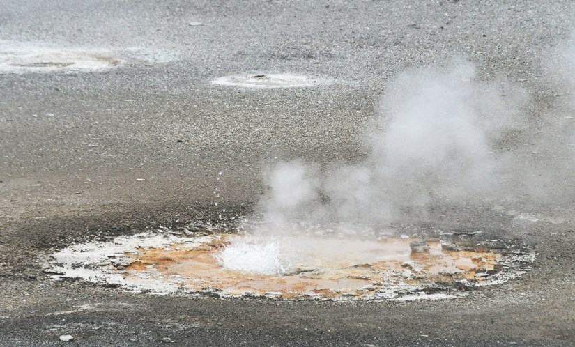
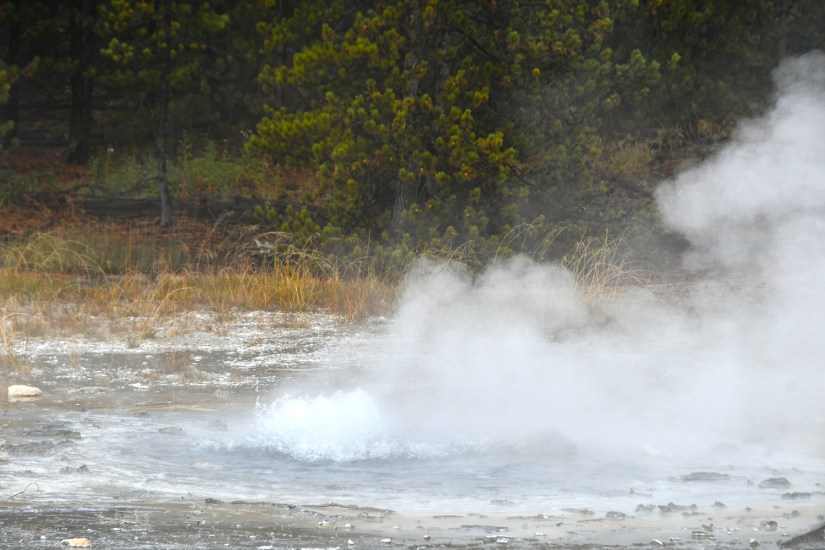
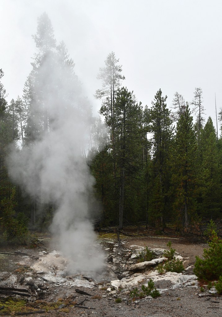
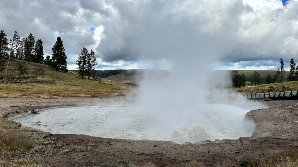
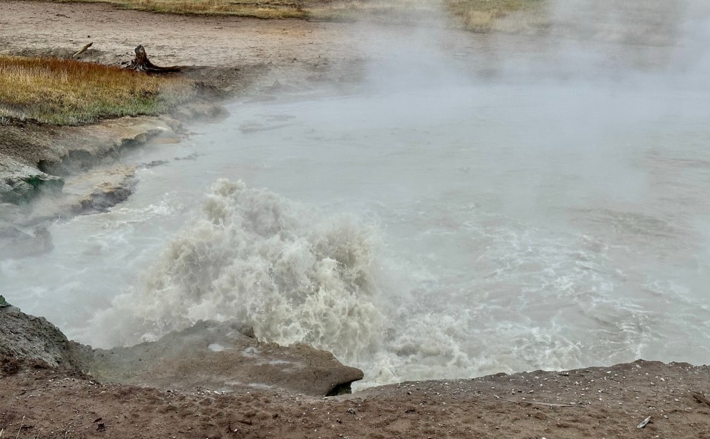
Steamboat Geyser was just spouting steam. I’ve never seen a major eruption, just a minor eruption, so it was another Yellowstone trip with my car’s paint being spared Steamboat’s silica onslaught!
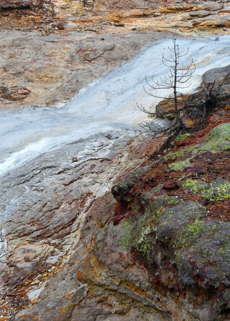
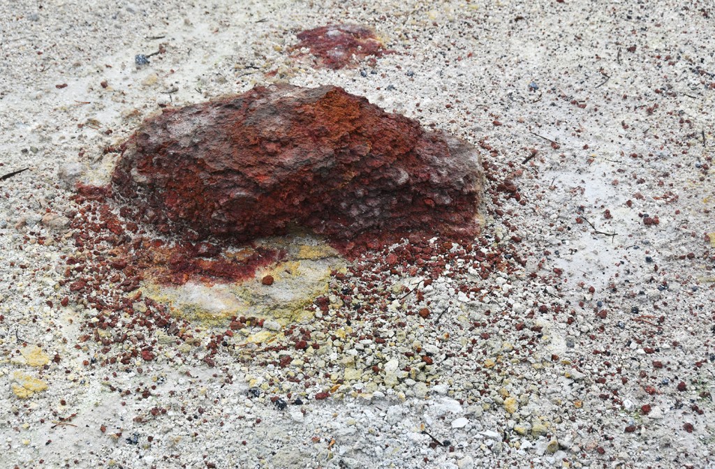
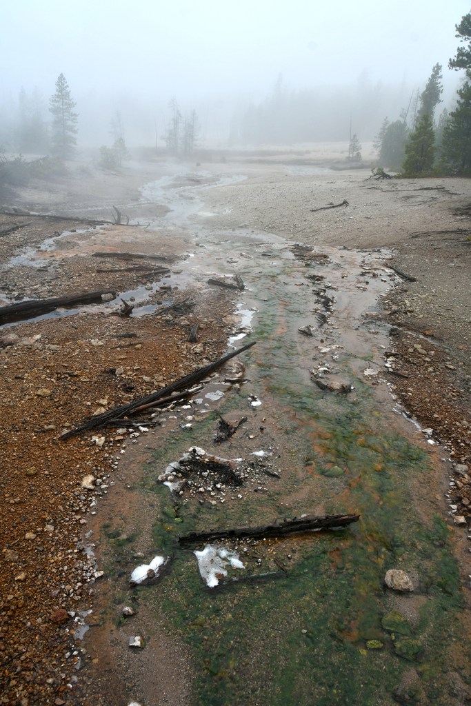
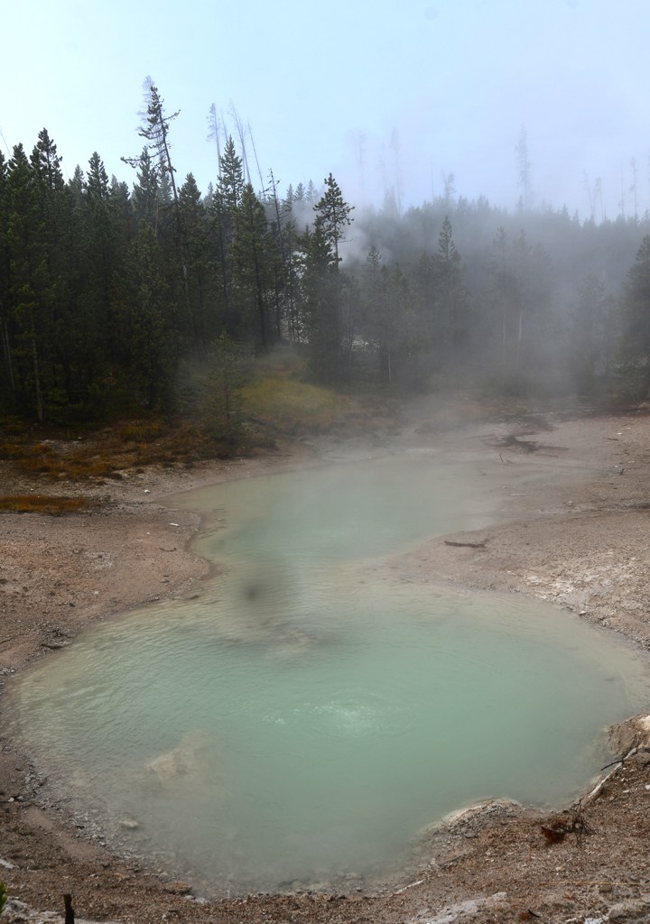
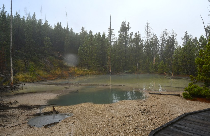
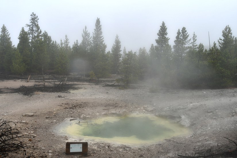
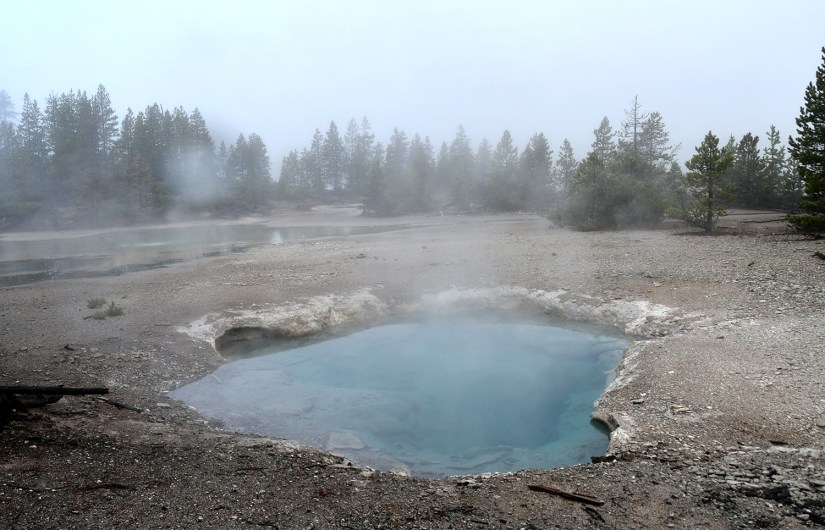
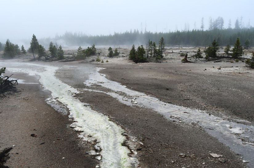
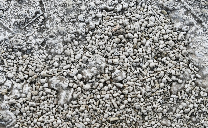
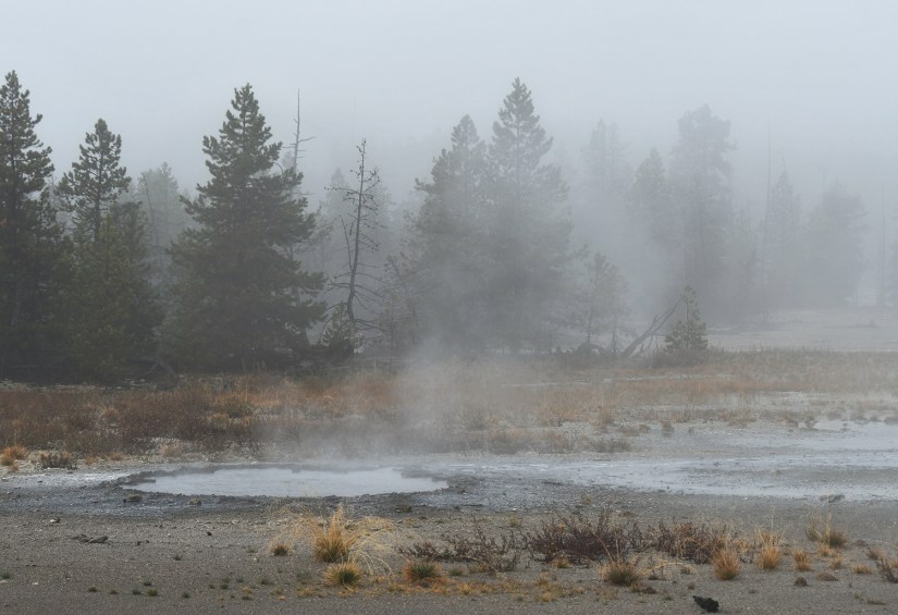
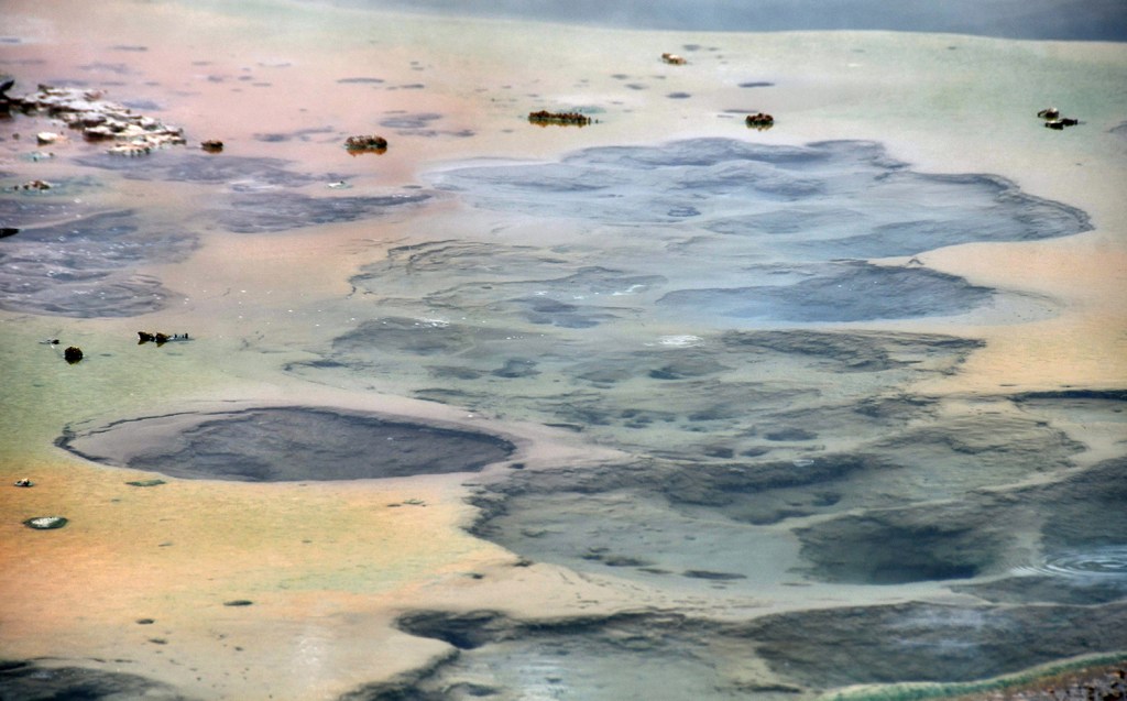
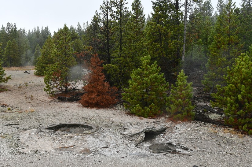
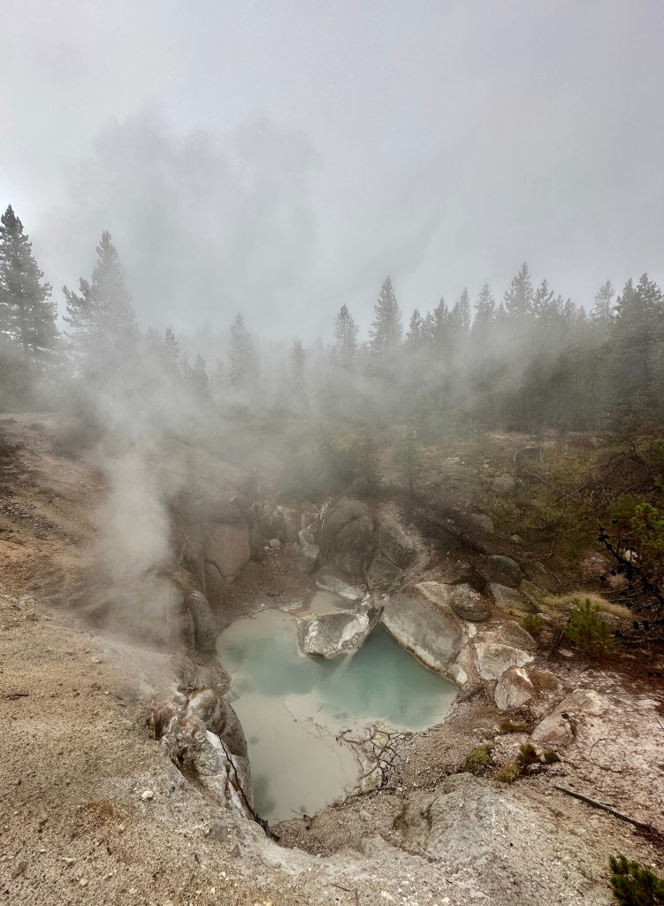
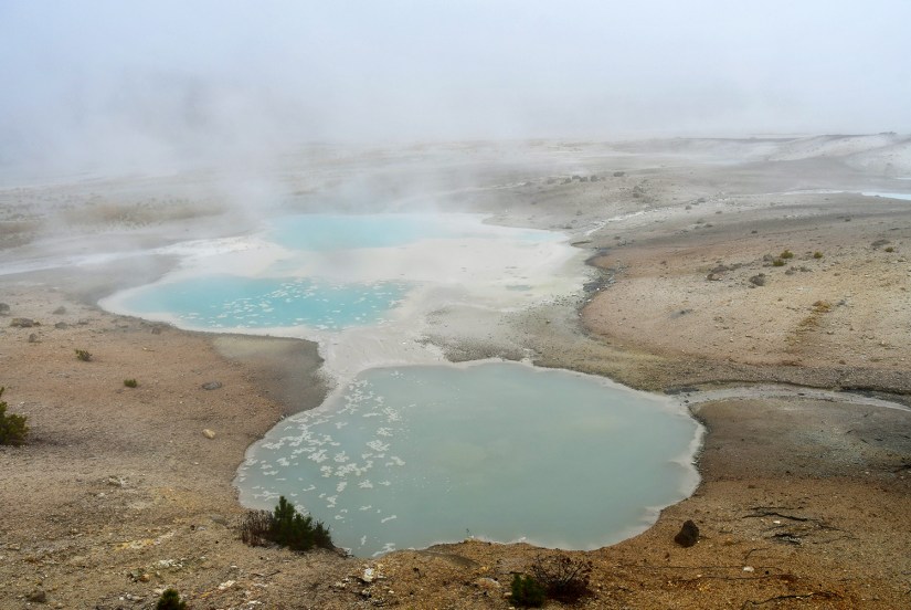
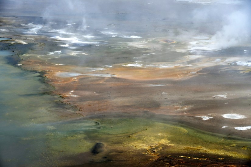
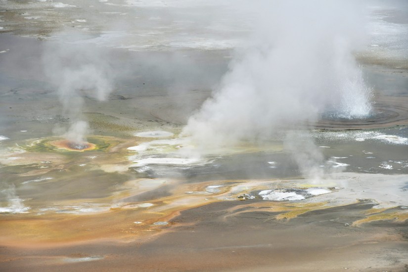
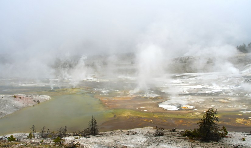
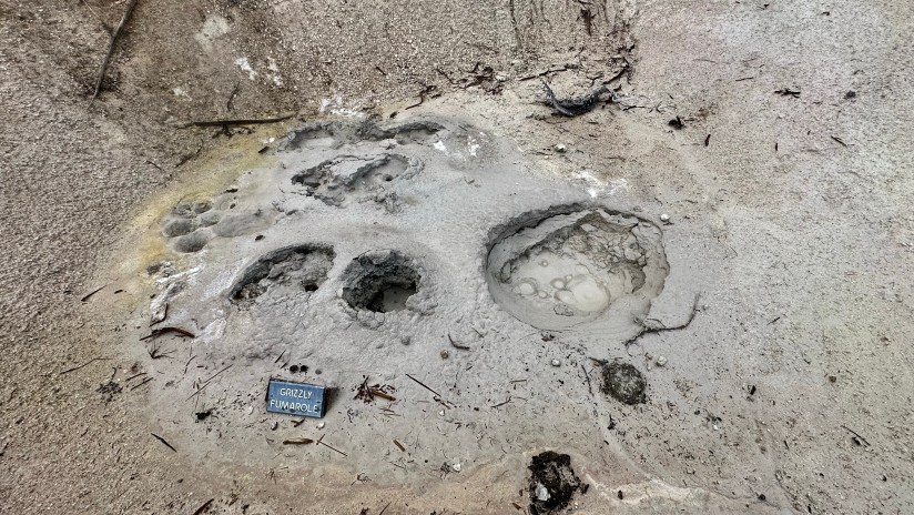
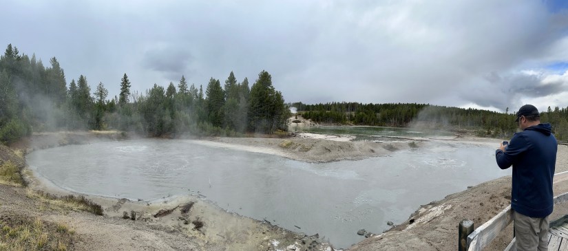
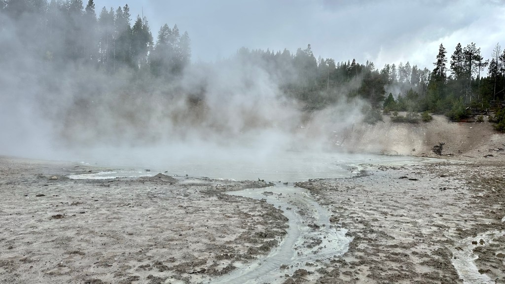
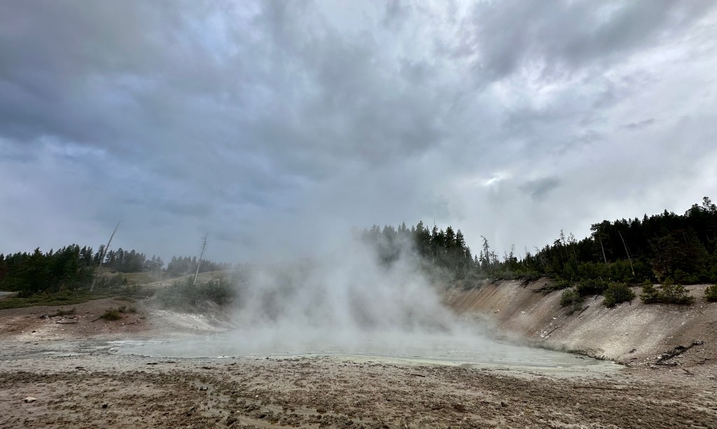
We wound our way around the Back Basin, taking in the steamy scenes and capturing lots of photos. The Norris Geyser Basin is known for its “disturbances” and fluctuations depending on ground water and other factors, so I geeked out over the changes in some features thanks to all the recent moisture.
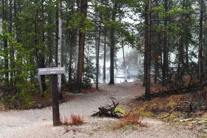
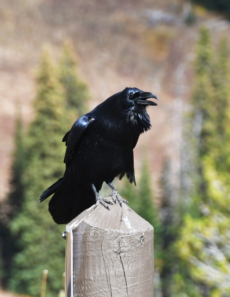
With the Back Basin explored, Eric and I headed into the woods on the trail connection the two portions of the Norris Basin. We dodged squirrels who were tossing pinecones out of trees, marking the first time I’ve been assaulted by wildlife in Yellowstone!
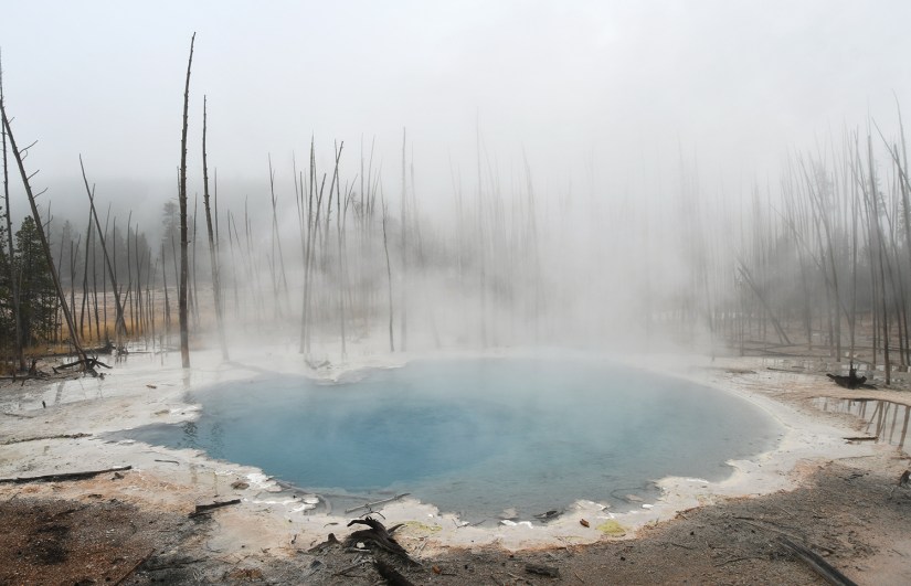
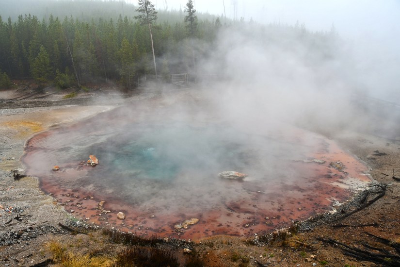
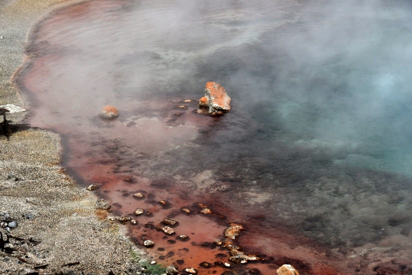
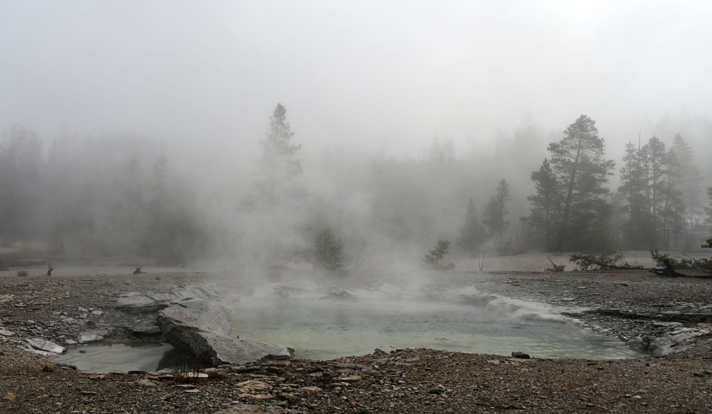
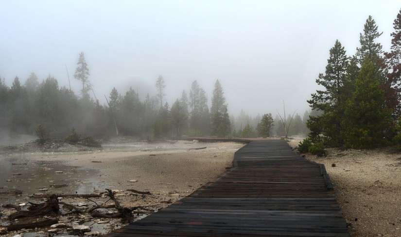
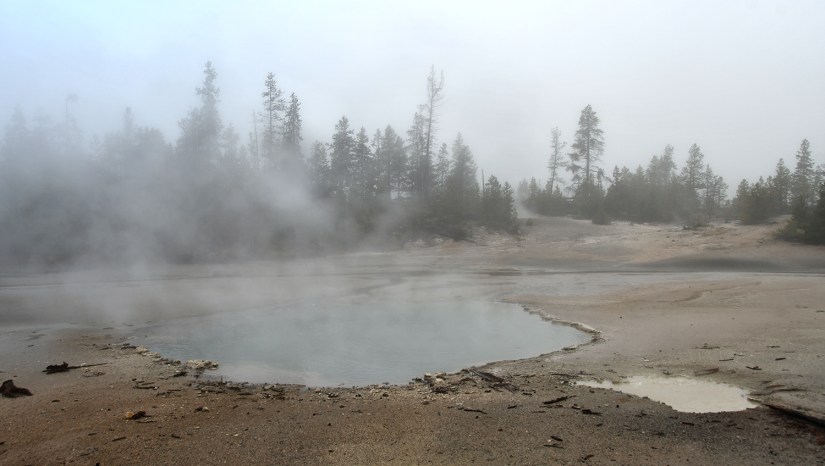
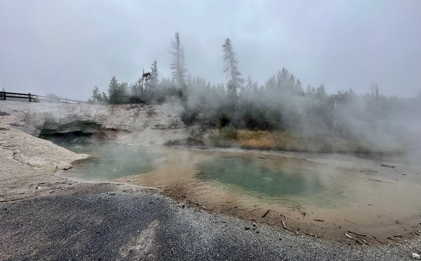
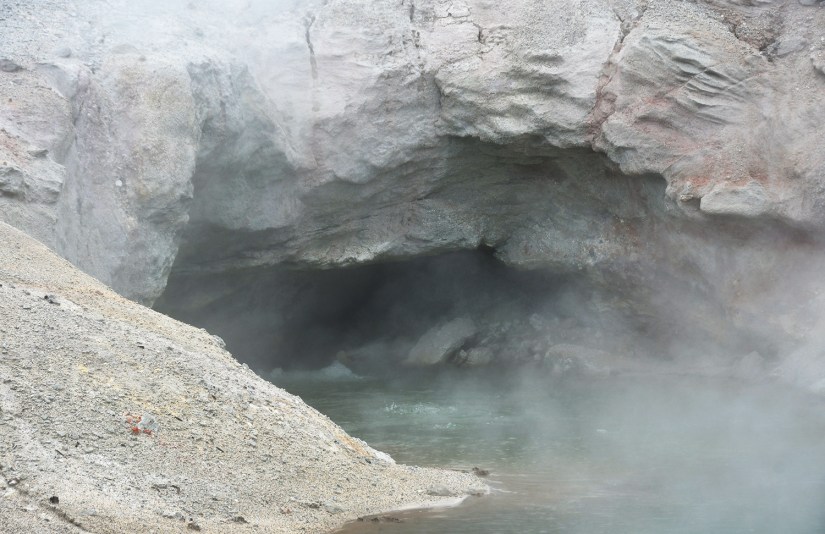
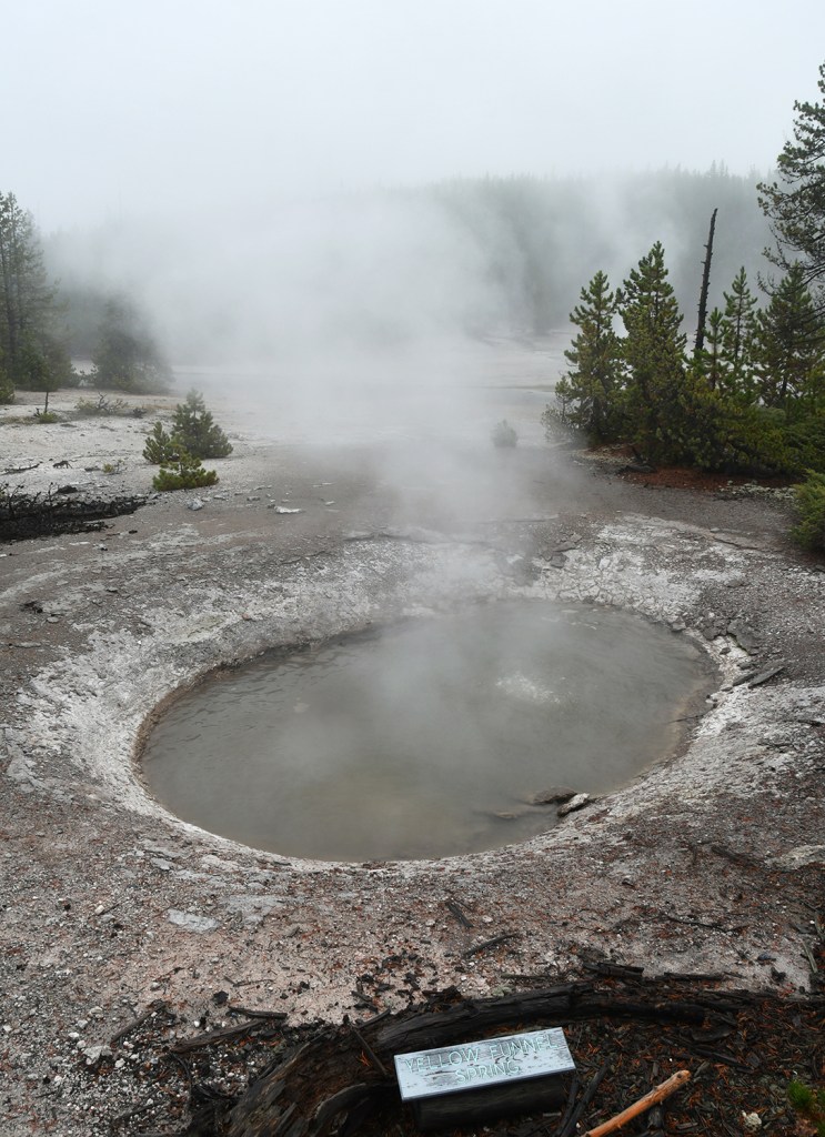
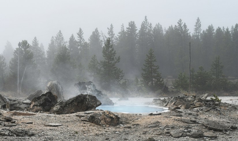
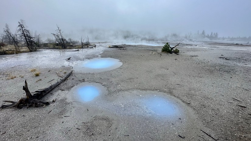
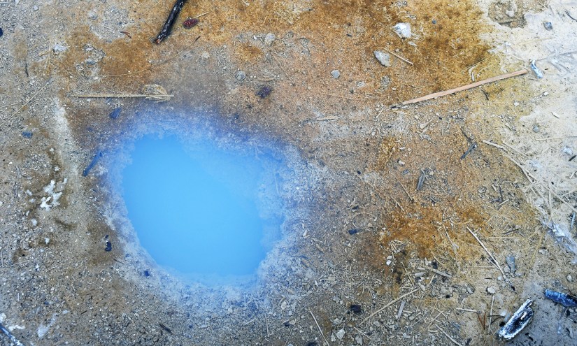
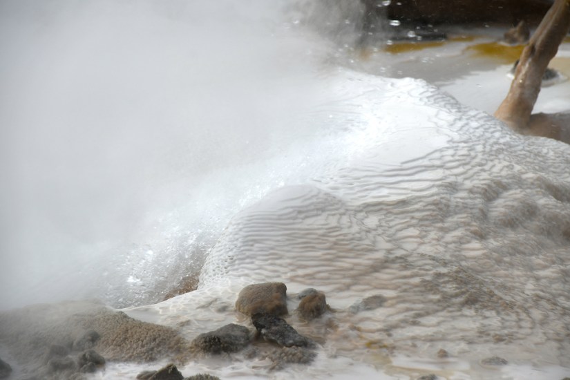
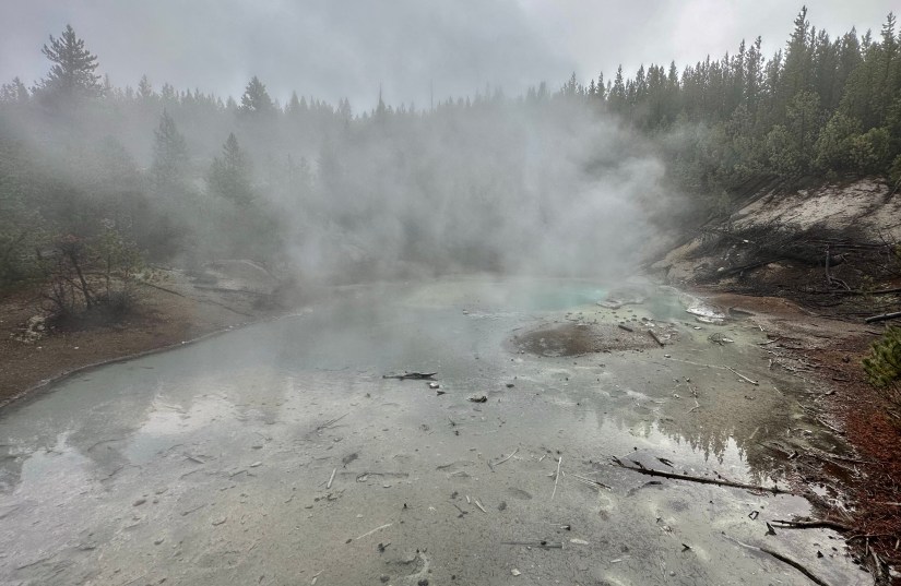
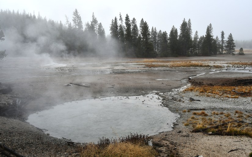
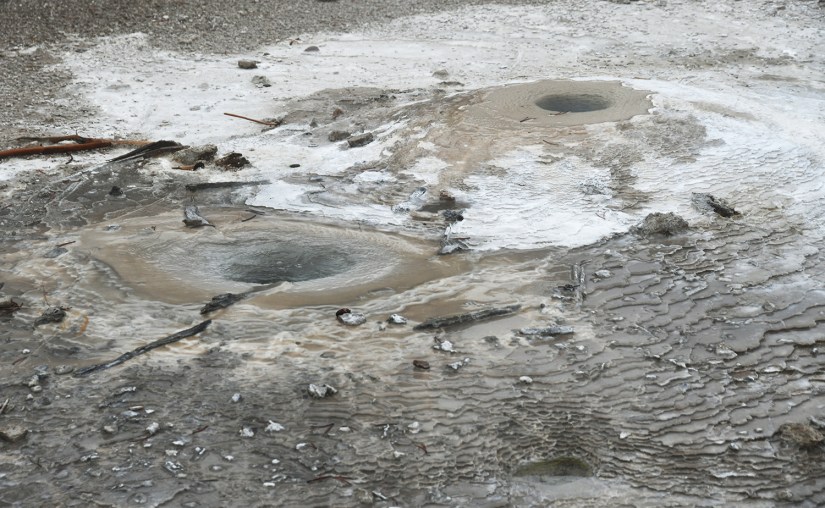
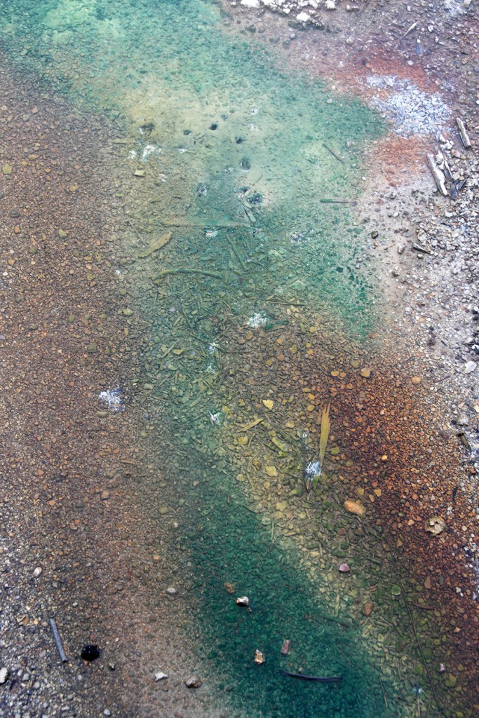
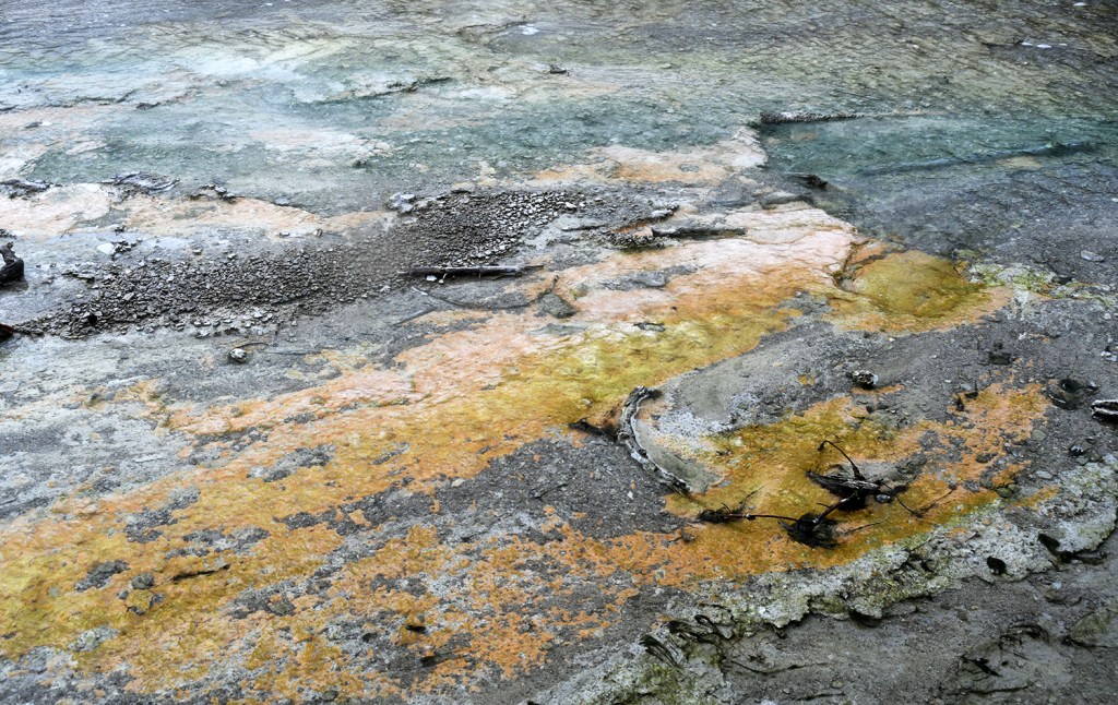
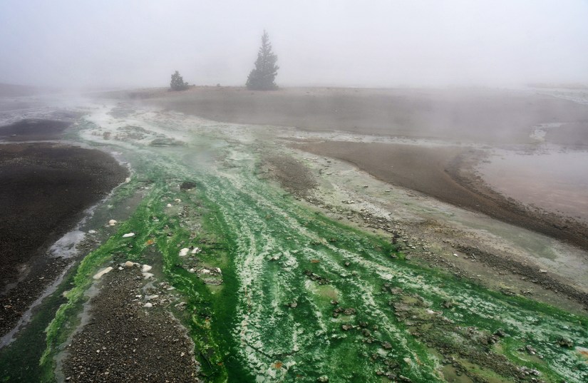
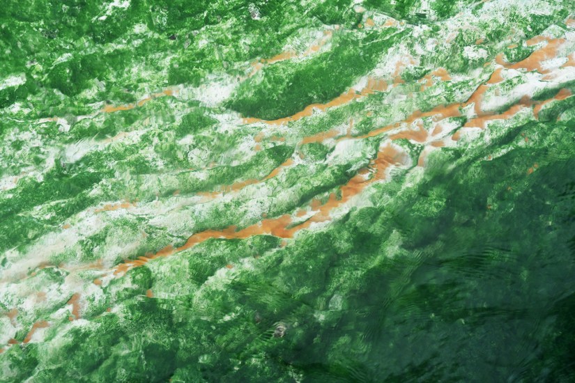
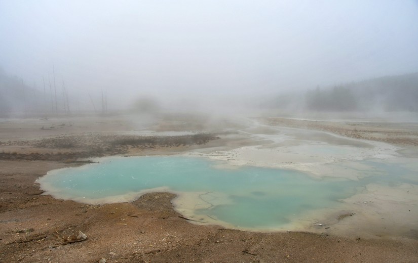
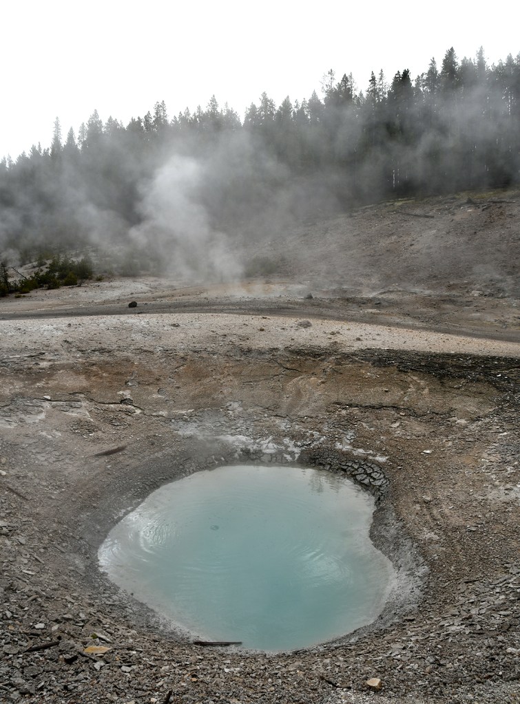
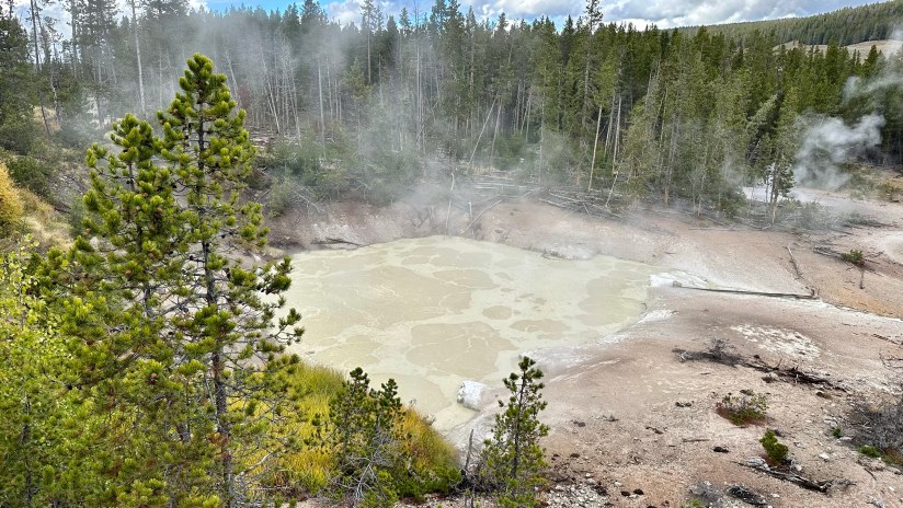
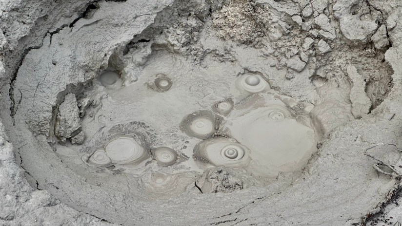
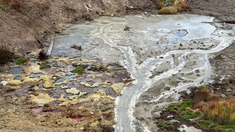
We did a clockwise loop at Porcelain Basin, which was still encased in thick steam and fog. Porcelain Spring was a bit secluded as a result, though in the minutes we spent the sun burned off some of the fog and it was becoming more vibrant. However, I was a bit disappointed that many of the pools were brown instead of blue from silica, and kept swearing to Eric it looked much different in my prior trips.
We wrapped up Norris by stopping into the educational displays, which describe why this geyser basin is unique. The ranger had just set up her desk outside, so I asked if she had the passport stamp (the bookstore had just closed for the season), and she graciously went to retrieve it from the store. I was left “in charge” of the ranger desk for a minute, which was exciting stuff! Ranger for a minute!
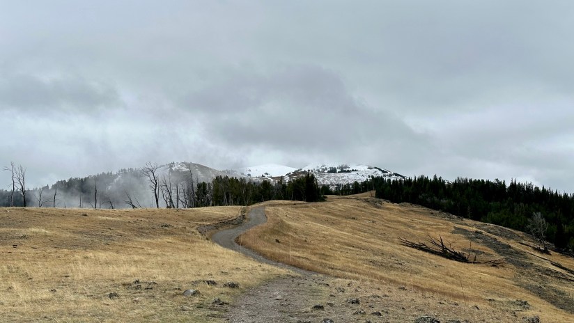
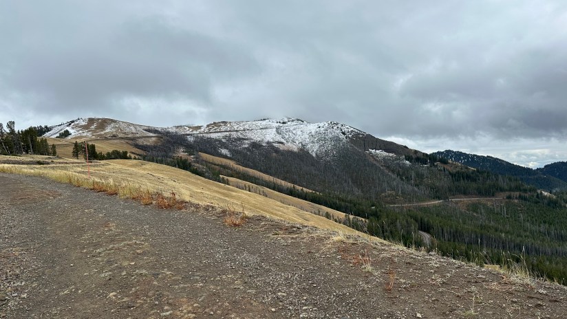
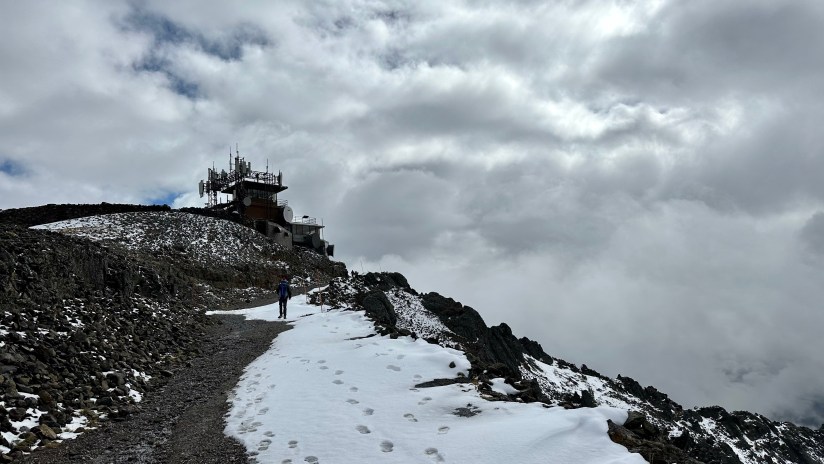
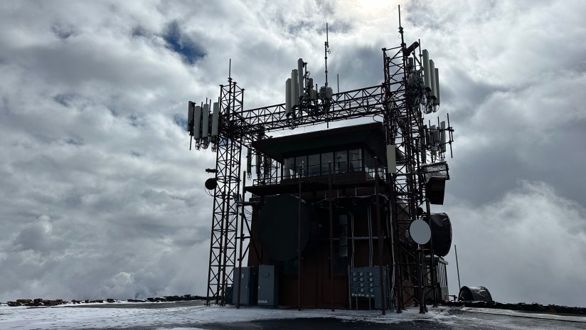
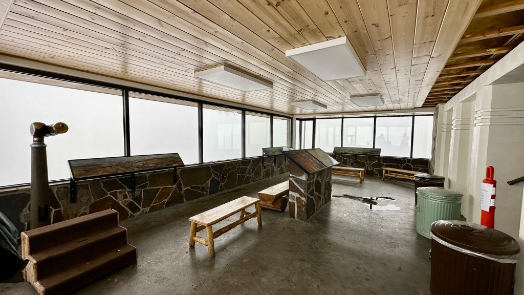
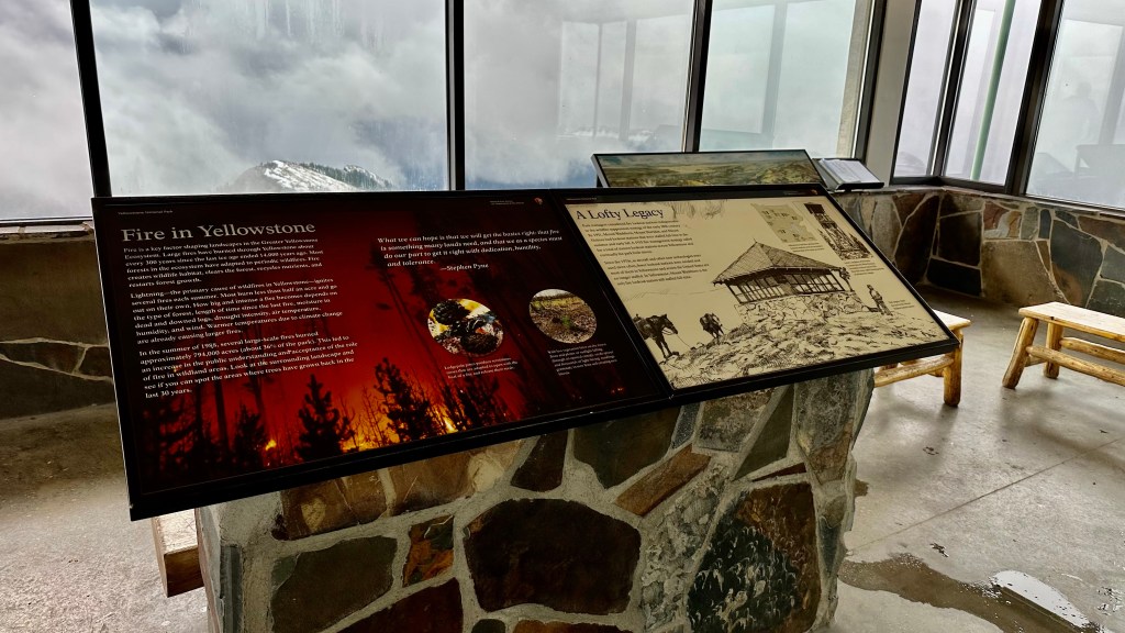
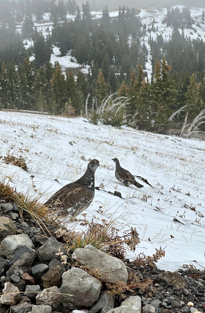
After Norris it was time to head towards Dunraven Pass to hopefully hike to the summit of Mount Washburn. Most of Yellowstone’s higher peaks have quite the approach and are best done as backpacking trips – Mount Washburn is one of the exceptions. This 10,219 foot peak (and former volcano in the Absaroka Range dating back 50 million years) is a popular hike because the summit can be reached by two trails that are pretty gentle in terms of mountain climbing. The first option is the Mount Washburn Trail that leaves from Dunraven Pass, and the second is Chittenden Road. Both are wide paths that are never crazy steep, and bicycles are allowed on Chittenden Road (though it is gravel and can get quite chunky, in my cyclist opinion a mountain bike would be best, or a gravel bike if you are experienced with descending on chunky rocks and gravel). On the summit of Mount Washburn is one of three remaining fire lookout towers in Yellowstone as well, and it is staffed during fire season.
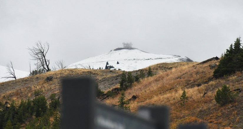
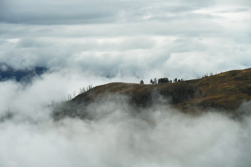
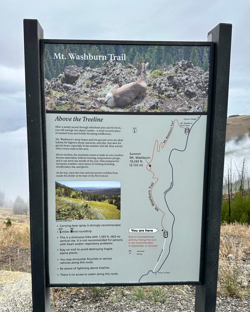
The hike started out overcast, but once we got near the summit light snow started falling. We lucked out, and on the summit we had a few minutes of great sunshine before the mountain was swallowed by clouds. The exhibit in the lower level of the fire lookout was open, so we took this chance to eat our snacks inside and read the exhibits. In the summer months when the lookout is staffed, you can go up to the upper levels. Myself, and others on the summit, also took advantage of the incredible cell service to check in with those at home! I later learned a lot of the communication equipment for the GPS and other volcano monitoring systems is located on Mount Washburn – so there’s not just good service cell service so tourists can Instagram their selfies, ha!
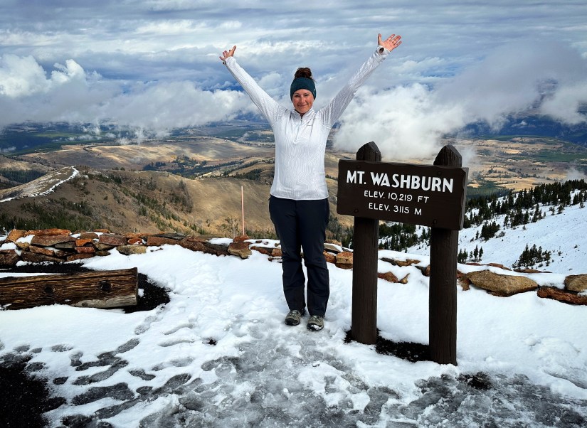

All said and done, according to my Garmin the total hike was 6 miles with 1511 feet of elevation gain. The hike took us a total of 2 hours 32 minutes, including our time hanging out in the fire lookout. Eric and I are pretty fast hikers, so this was a speedy hike for us.
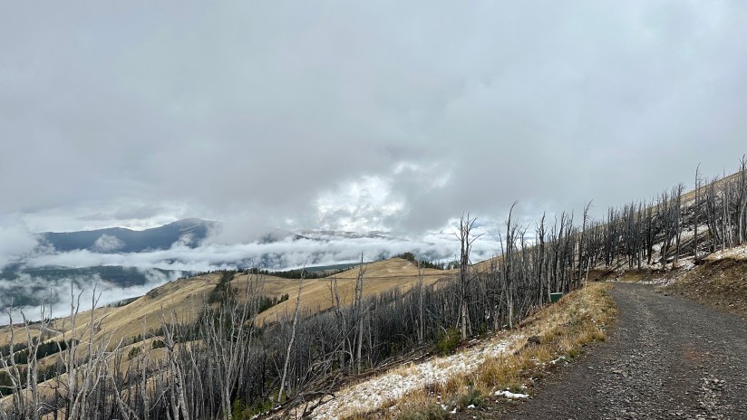
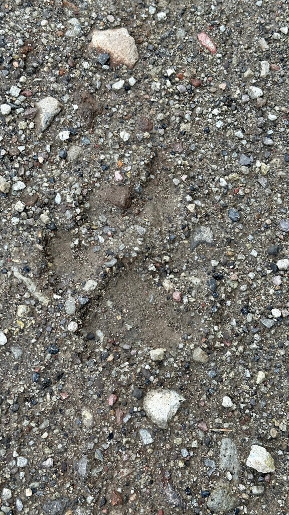
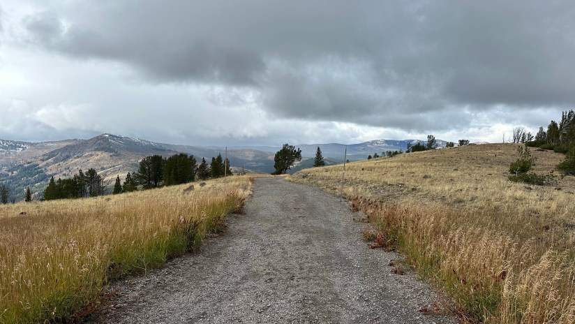
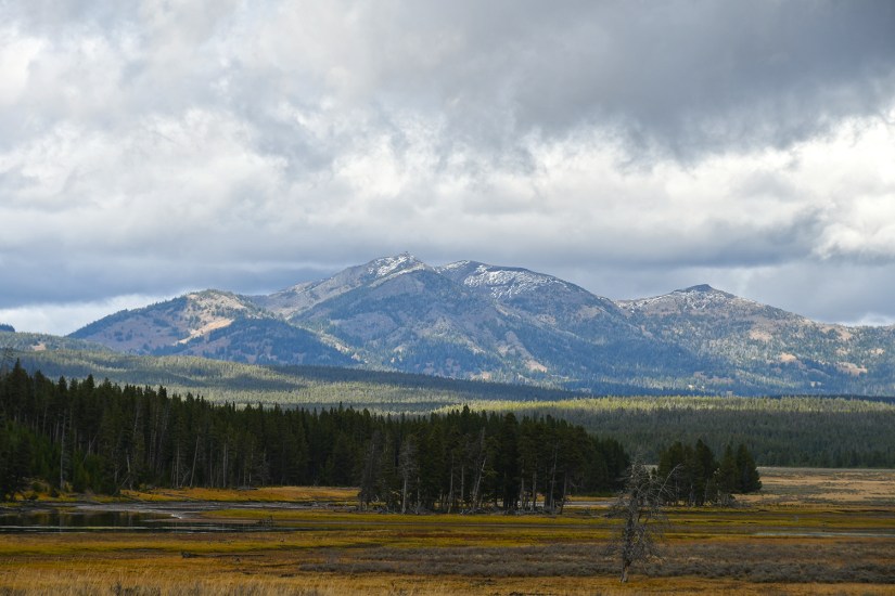
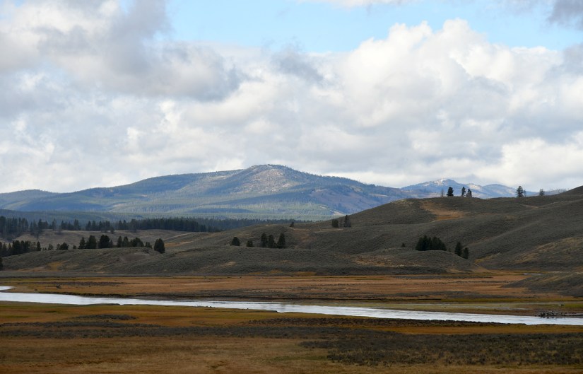
The sun was out slightly when we got back to the car from the hike, so I took to fixing up sandwiches while Eric spread the tent’s rainfly out on a rock to see if he could get to dry up some. Surprisingly, the wind and light sun did help dry the rainfly every so slightly! We then hit the road, stopping at some overlooks coming off of Dunraven Pass and then briefly again in Canyon Village, swinging by the ranger desk to ask about the tracks we saw on the hike, why the trees are missing branches on one side of road.
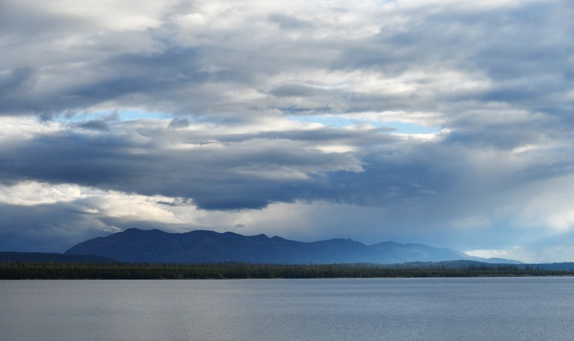
It was smooth sailing across the Hayden Valley with very little wildlife to be seen, and as a result, no traffic jams.
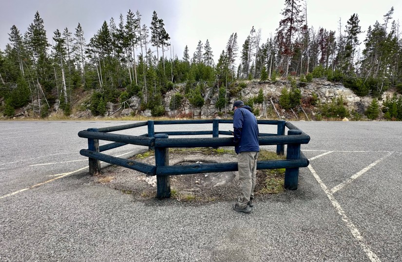
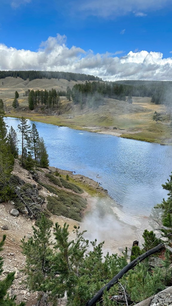
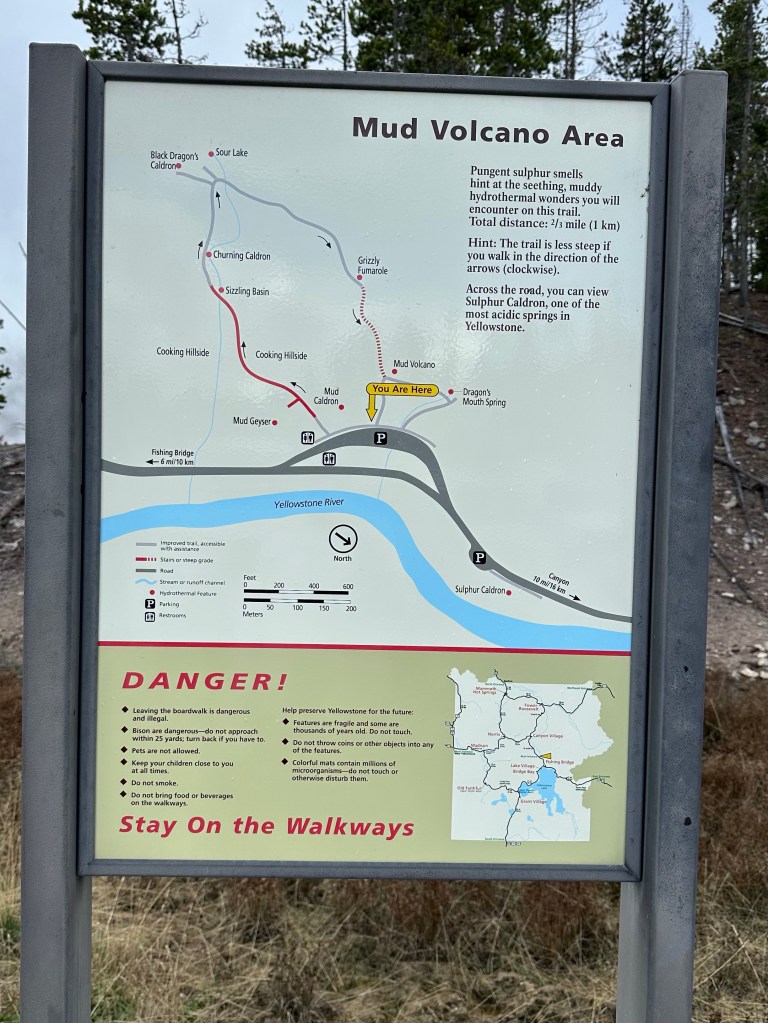
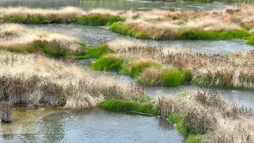
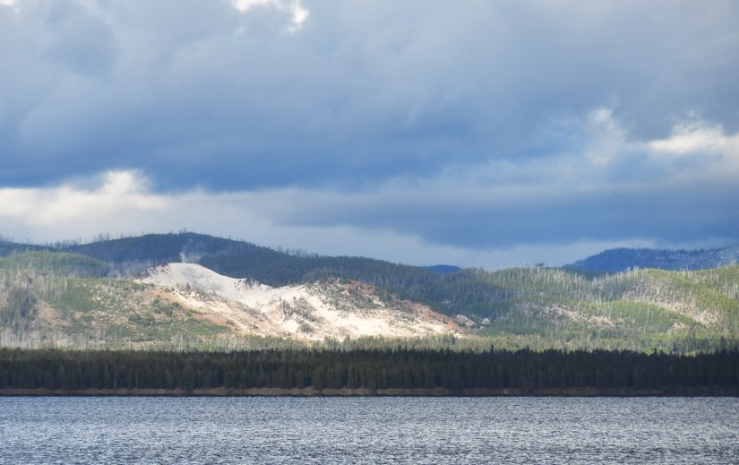
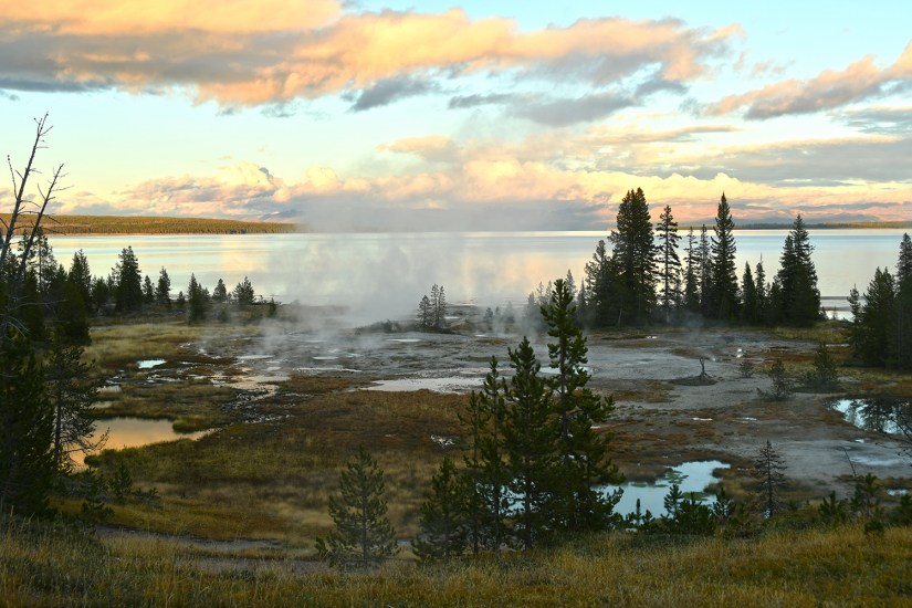
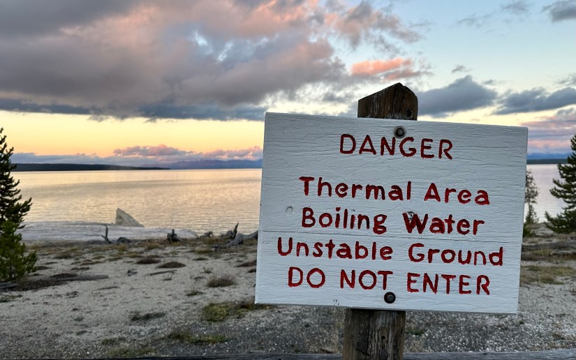
Sulphur Caldron and Mud Volcano were up next. One of Yellowstone’s most acidic hot springs (pH 1-2), Sulphur Caldron is a great quick stop with plentiful parking. I also enjoy overlooking the Yellowstone River and spotted areas of hydrothermal activity within the river itself.
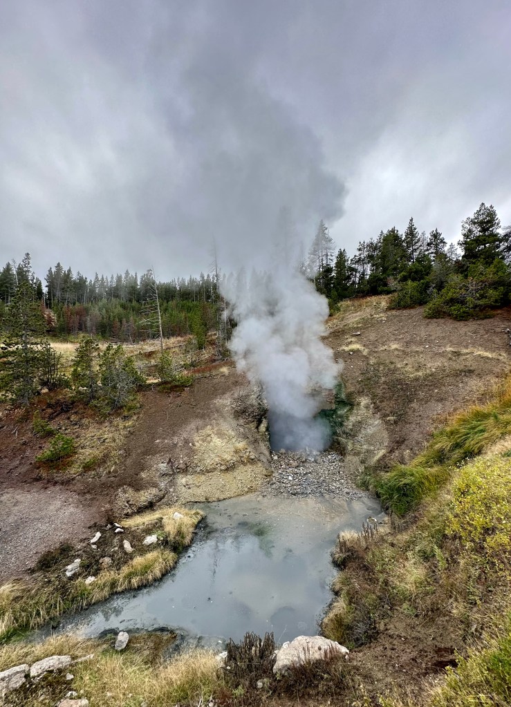
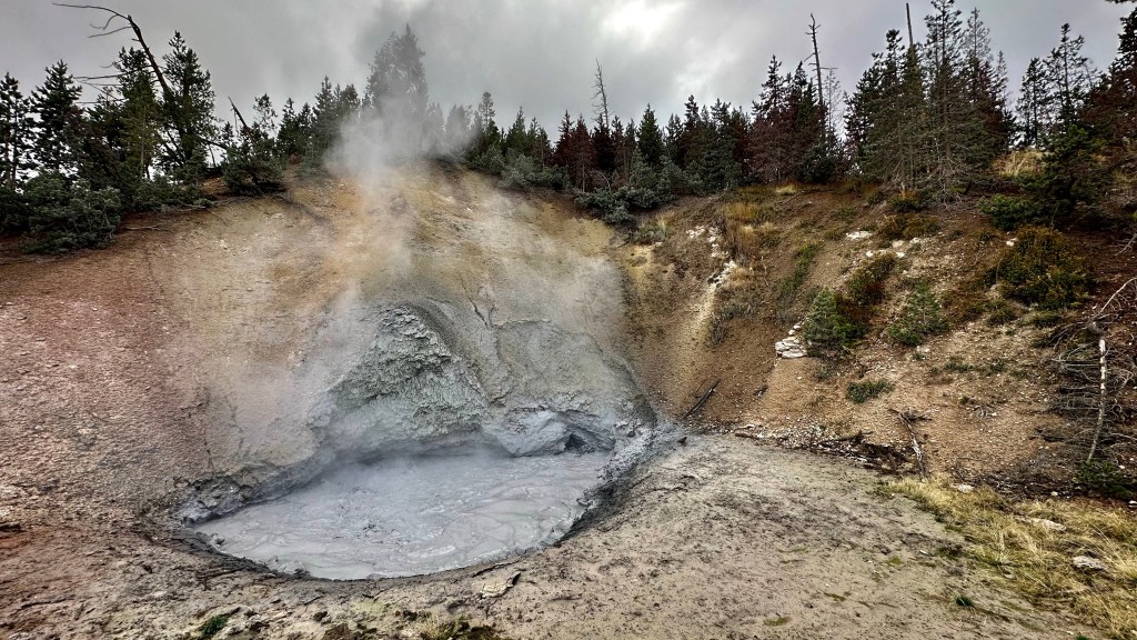
Mud Volcano is just seconds down the road from Sulphur Caldron. This is a thermal area near the Sour Creek Resurgent Dome, one of the areas the Yellowstone caldera experiences ground deformation due to the magma chamber underneath it (meaning the ground moves up and down, and thus, this area is highly monitored). It is about a one mile walk to explore all the boardwalks from the parking lot, and some of my favorite features of located here. If you want to get nerdy about the status of the Yellowstone volcano, the Yellowstone Volcano Observatory social media pages puts out monthly updates on earthquakes, ground deformation (measured by GPS), and status of hydrothermal features, like Steamboat Geyser eruptions. They also publish an annual report, and it is for sale in some of the gift shops in Yellowstone – I bought my 2021 annual report at the Albright Visitor Center in Mammoth.
Wrapping up the last of our hydrothermal adventures, there was nothing but heading south to Lewis Lake Campground to accomplish. But like I’ve previously stated, you simply cannot just drive to a destination in Yellowstone! We took a short detour over to the Fishing Bridge area, where we scoured the general store for anything we could not live without, leaving with some dinner beers/ciders and a souvenir smashed penny for Eric (he’s moved on from tokens after collecting like 25 pounds of them on the Utah adventure).
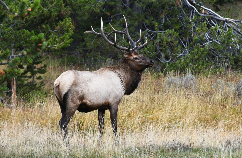
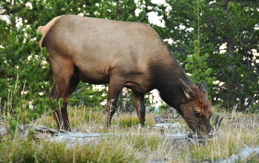
Leaving Fishing Bridge, there was a bull elk eating close to the road, so we found a safe place to park off the road, and joined the camera-equipped crowds for some photos.
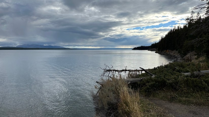
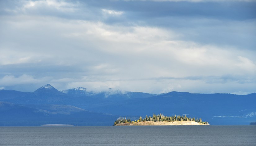
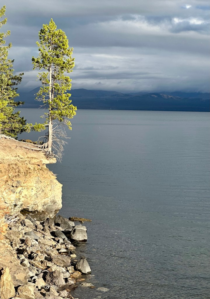
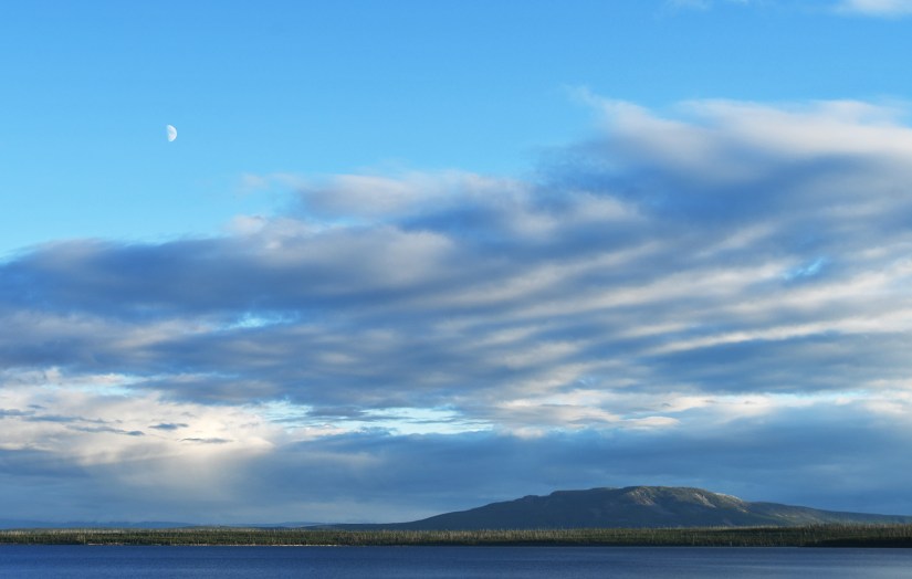
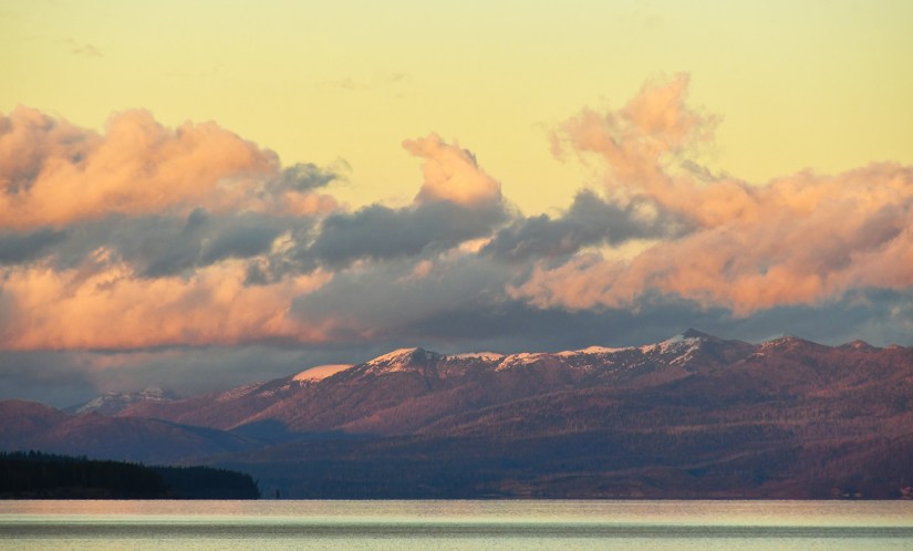
As we approached Yellowstone Lake and reveled in the rain-free skies, we got the brilliant idea to find a picnic area to enjoy dinner at on the shores of the lake. It took a bit, as most of the picnic areas were wooded and not lakeside, but then we found the perfect one!
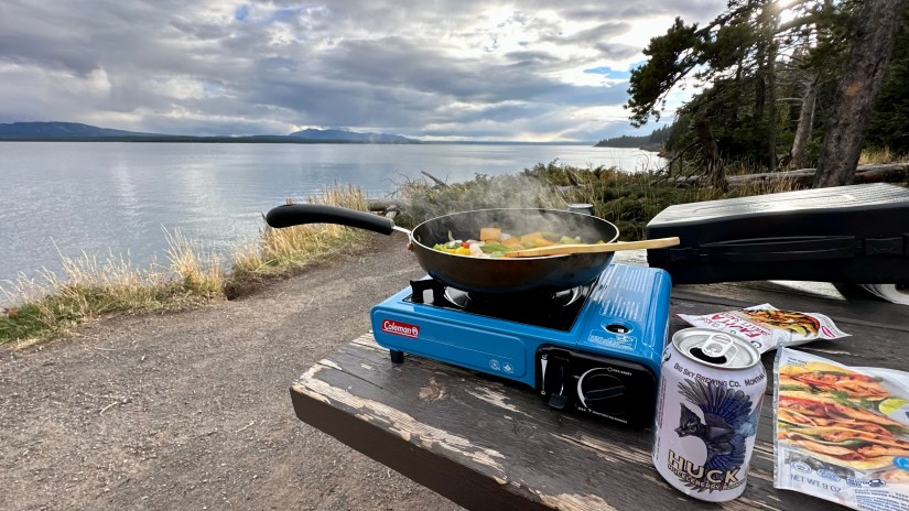
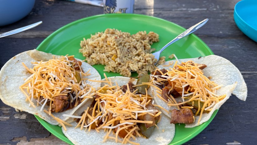
How freaking amazing is this?! We cooked up our final dinner of the adventure, returning to a favorite of chicken and fajita veggies.
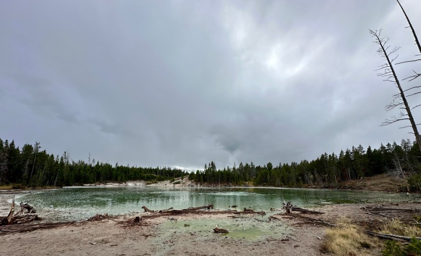
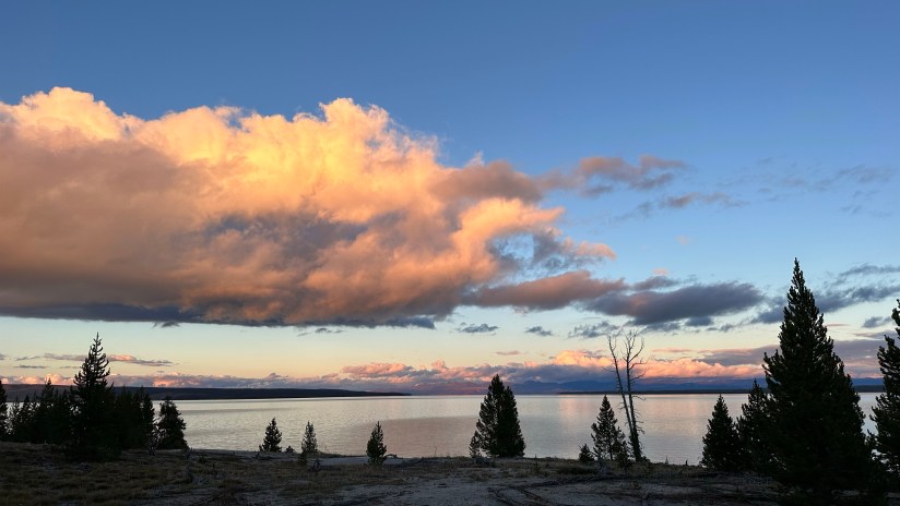
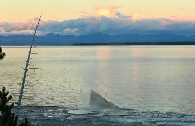
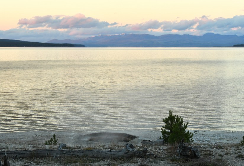
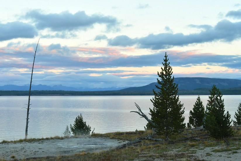
As a novice geyser gazer, I know where some hidden thermal areas are along the shores of Yellowstone Lake, so I took the opportunity to show them to Eric, who was game to see them. First up was Potts Basin, which use to have boardwalk access years ago before NPS tore them out. Now you can only view from a distance.
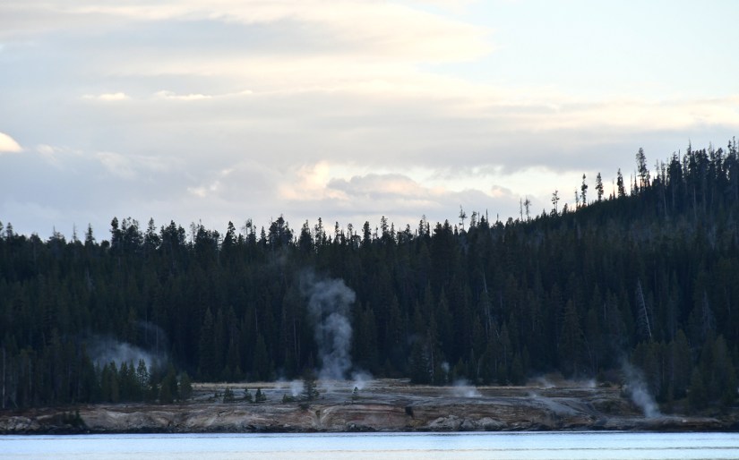
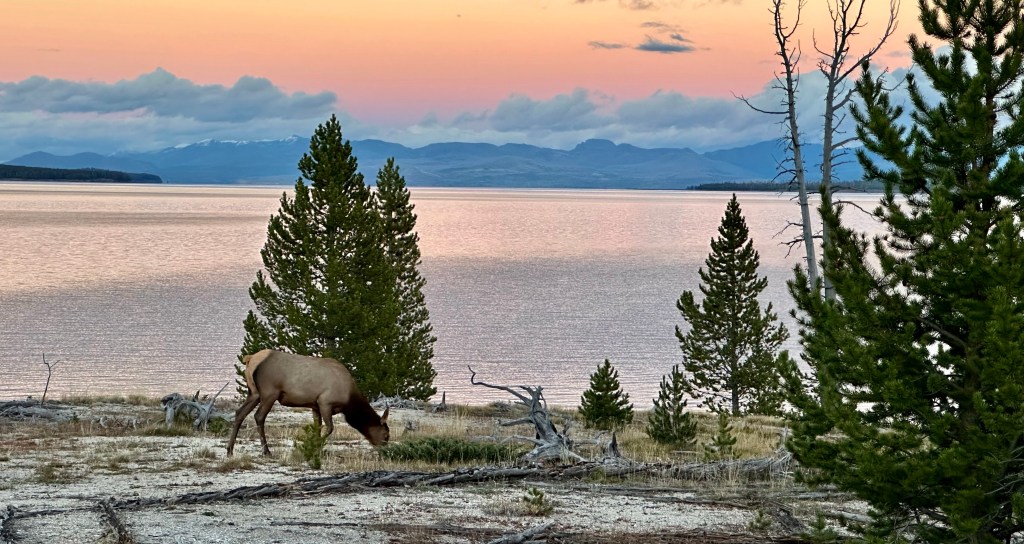
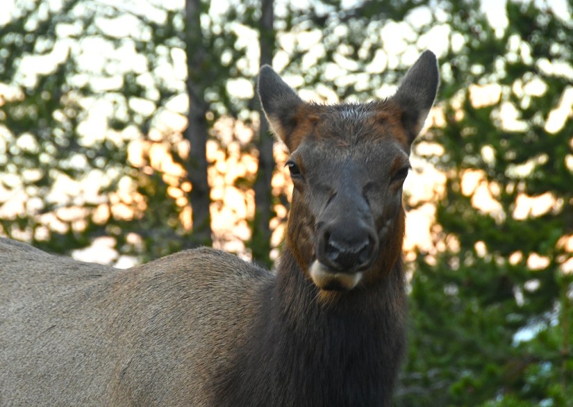
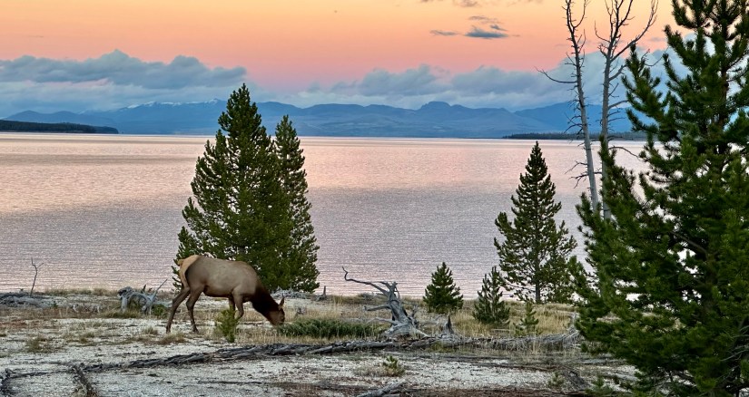
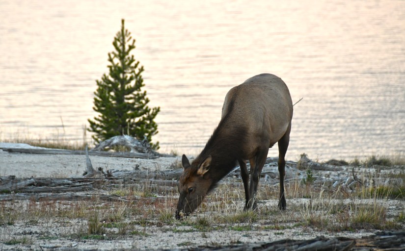
Just down the road we reached the Lake Shore Group, another thermal area next to the road that has no boardwalks or entry, but still some views of some thermal features. There was a cow elk having her evening meal under the sunset, and thanks to me being stopped on the side of the road, this meant every other car had to stop, too! (Life goal checked off the list – create a traffic jam in Yellowstone! Ha!) After jokingly yelling out “Ma’am, you can you please move, you are blocking the sunset!” to the elk, I wandered down the fence line for a better view of the thermal features, away from the crowds.
Finally we set our sights straight to our final destination and home for the night, Lewis Lake Campground. We stayed here on our first night in Yellowstone, and I chose it again for the final night since it would place us closest to Grand Teton National Park and our exit through Jackson (I originally was going to have to pop onto a work meeting in the afternoon of our departure day and made arrangements to borrow office space in Jackson… luckily the meeting got cancelled, but after I made my campground reservations). Our campsite was #48B this time. It was dark when we arrived and started setting up, but I could tell in the dark that it was a great site. The tent pad was away from the picnic table and bear box, and seemed to have a lot of privacy. Once again Lewis Lake was coming through with a great campsite!
Since we already had dinner, after the tent was set up it was time for changing into sleeping clothes and wrapping up our Grand Teton National Park Junior Ranger books before our departure in the morning!


Leave a comment