
Day 4- March 29, 2022
The take aways…
- Our public lands are beyond amazing in the United States
- Chase all the waterfalls
- Sprained ankles don’t like slickrock ashtrays
- Get the pizza, you earned it
- The bag hanging in the woods did not have a human head in it, despite what my imagination said
With a sketchy forecast for the day, we took this as a chance to “sleep in” a bit (is there really such a thing as sleeping in while camping?) and have a slow start to our day. It had rained off and on during the night, but we awoke to clear skies and sun, though the tent and truck were frosty.
Due to our late arrival after dark, we really had no idea what our campsite looked like, aside from high voltage powerlines overhead. Luckily it turned out to be another scenic spot overlooking a canyon! Even in the dark we did a good job!
We took our time freshening up and preparing breakfast and coffee, knowing that the rain in the forecast was going to cause us to readjust our plans. We had a slot canyon hike planned, but entering a slot canyon when there is any chance of rain is a big no, if not a death wish. Scratching the slot canyon meant we had some extra time, but we figure at this point we were playing it by ear, and forecast. Eventually we realized we should probably try to hit our biggest planned hike of the day during the weather window the late morning hours had, and before the gloom that was enveloping the mountains made its way south to us.
The history of Boulder, Utah, is quite fascinating as we learned when we stopped at an overlook. The town did not have electricity until 1947, and was the last town in the U.S. to receive mail by mule train. In 1939, the road was finally completed from Boulder to Escalante, making this isolated town a little less isolated. However, it wasn’t until 1985 that the road north to Torrey over Boulder Mountain was paved! (Yep, same road we drove in the snow the night before!) Highway 12 is considered one of the most scenic highways in the U.S., and after driving the length from Capitol Reef to Bryce Canyon, I have to concur!
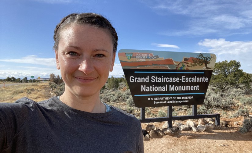
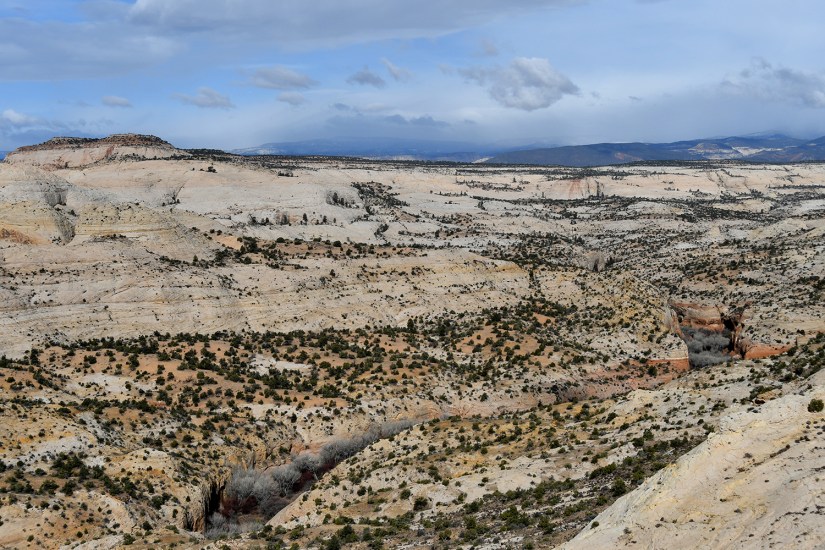
We headed back south into Grand Staircase Escalante National Monument, a wondrous place managed by the Bureau of Land Management consisting of 1.87 million acres. Like Bears Ears National Monument, GSENM was reduced by 47% under the previous presidential administration, and restored under the current administration. Quite impossible to see it all, we nonetheless dedicated this day to exploring what GSENM could offer.
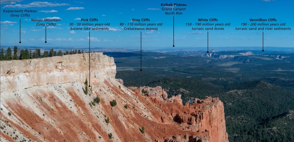
Wait, so what is this “staircase” stuff? Geology!!!!!
The Grand Staircase is an immense sequence of sedimentary rock layers that stretch south for 100 miles (161 km) from Bryce Canyon National Park through Zion National Park and into the Grand Canyon. In the 1870s, geologist Clarence Dutton first conceptualized this region as a huge stairway ascending out of the bottom of the Grand Canyon northward with the cliff edge of each layer forming giant steps. Dutton divided this layer cake of Earth history into five steps that he colorfully named Pink Cliffs, Grey Cliffs, White Cliffs, Vermilion Cliffs, and Chocolate Cliffs. Since then, modern geologists have further divided Dutton’s steps into individual rock formations.
National Park Service
What makes the Grand Staircase worldly unique is that it preserves more Earth history than any other place on Earth. Geologists often liken the study of sedimentary rock layers to reading a history book–layer by layer, detailed chapter by detailed chapter. Unlike igneous and metamorphic rocks, only sedimentary rocks are capable of preserving fossils. The problem is that in most places in the world, the book has been severely damaged by the rise and fall of mountains, the scouring of glaciers, etc. Usually these chapters are completely disarticulated from each other and often whole pages are just missing. Yet the Grand Staircase and the lower cliffs that comprise the Grand Canyon remain largely intact speaking to over 600 million years of continuous Earth history–from Permian – Tertiary (275- 50 mya)–with only a few paragraphs missing here and there.
Apparently I really should’ve titled this blog series with something in the Staircase in the title because we were literally visiting every stair!
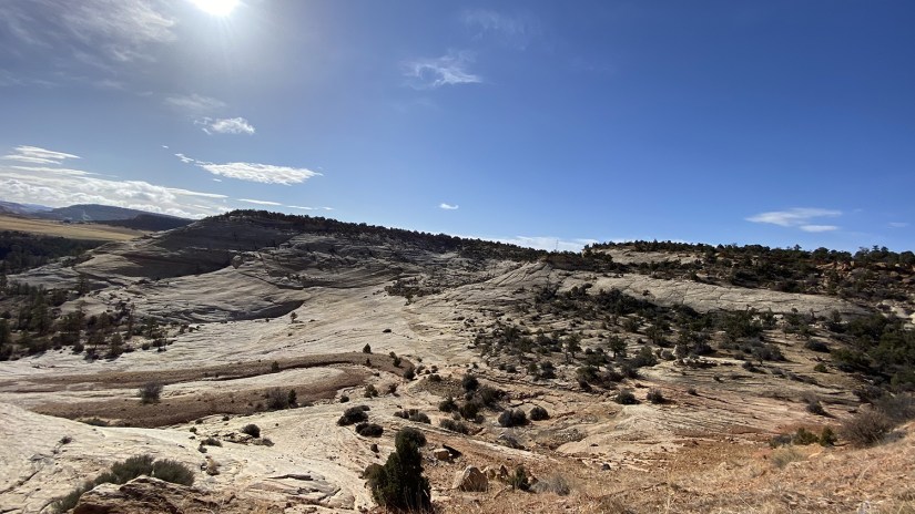
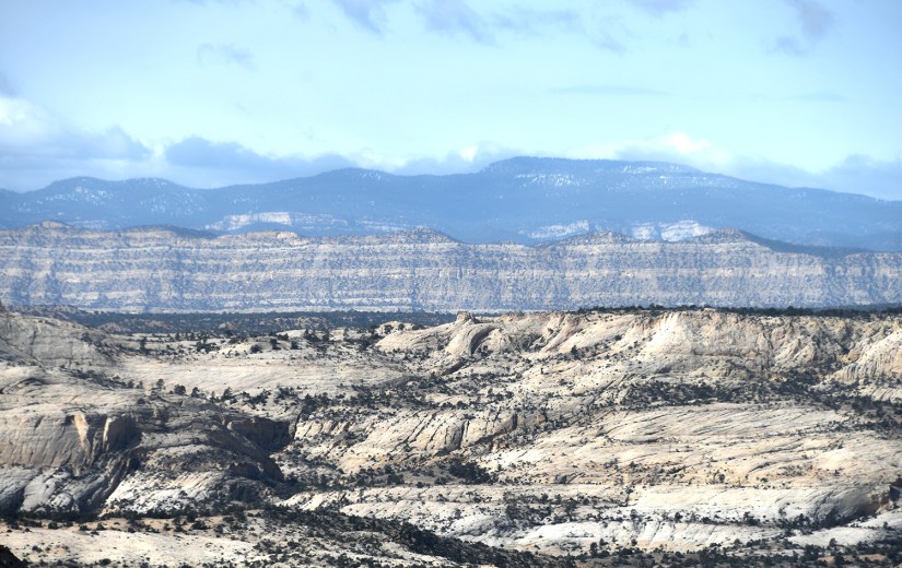
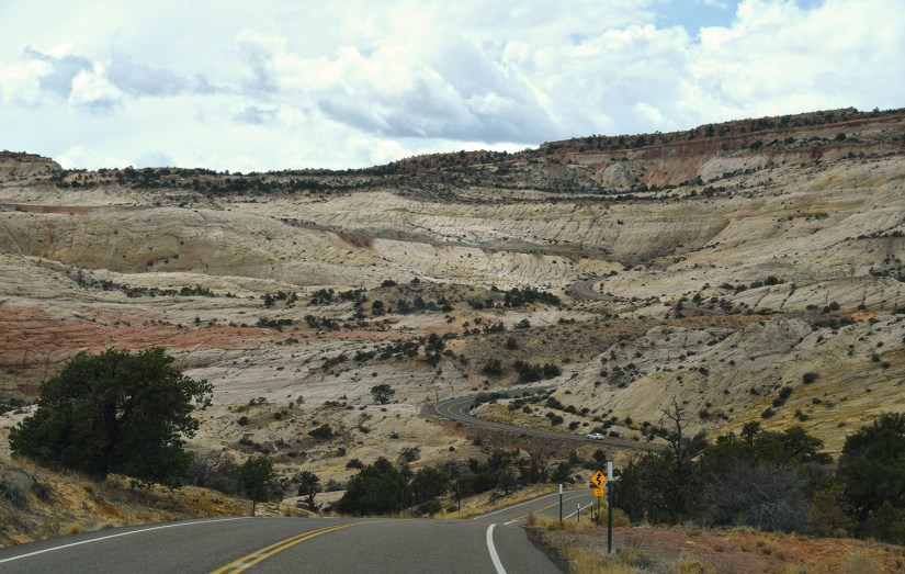
We traveled across the “Hogback” of Highway 12, which skirts the edges of the Escalante River Canyons. This is part of the road to Escalante that took until 1939 to complete, and as we traveled it, it became apparent why Boulder is really so remote.

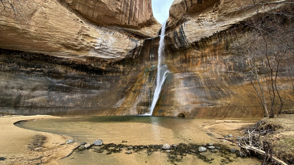
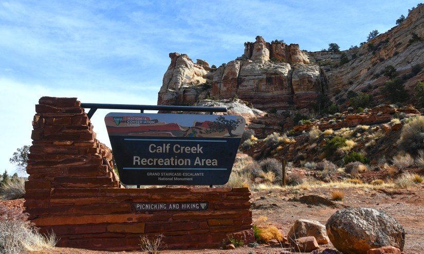
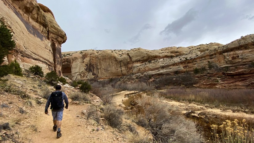
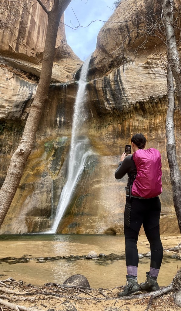
The first major stop of the day was the trailhead for Lower Calf Creek Falls, a very popular hike in the area. But I’m a sucker for a good waterfall, and I had to see a waterfall in the desert! We nabbed a free spot in the parking lot, prepared our bags, and set out. The hike is about 6-7 miles round trip (depending on your GPS and what you read… it was 7 miles for us with a detour to the restrooms), and “they” say it takes 3-4 hours to complete. (Eric and I were strangely amused that we beat the 3 hour time.)

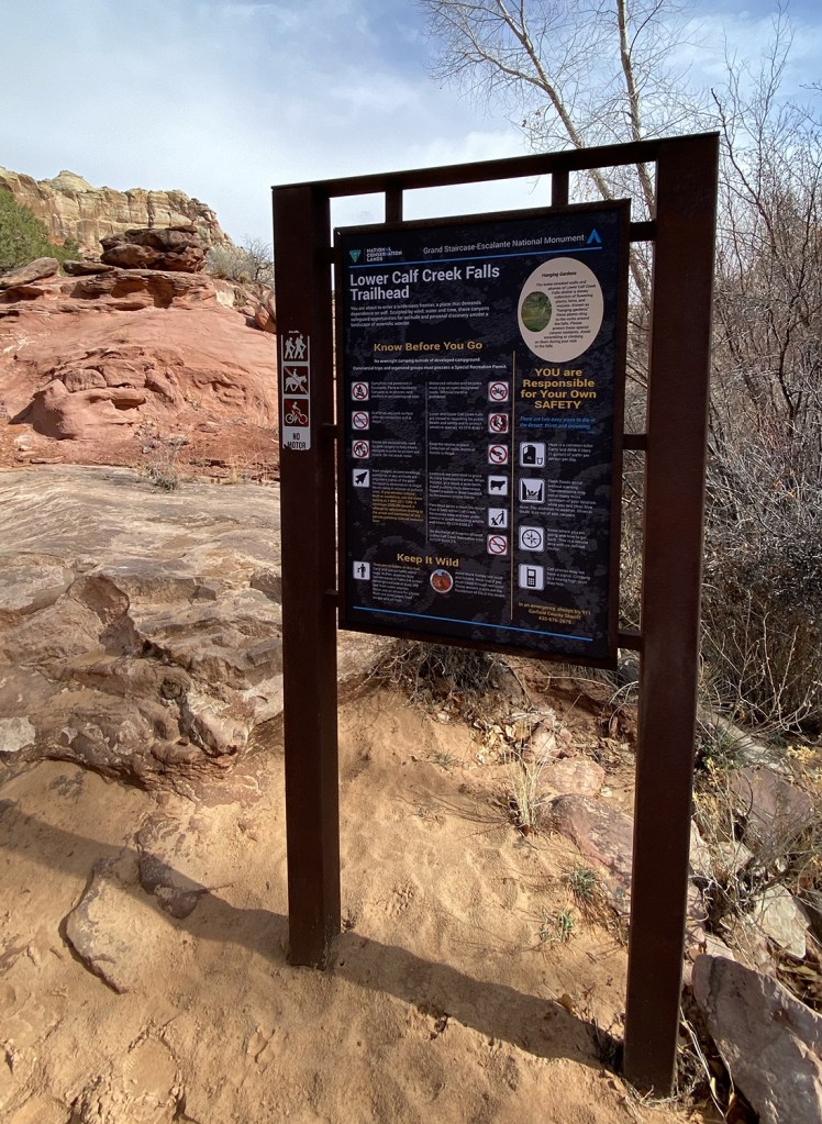

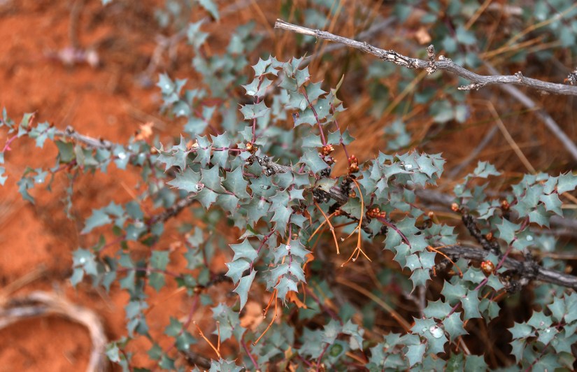
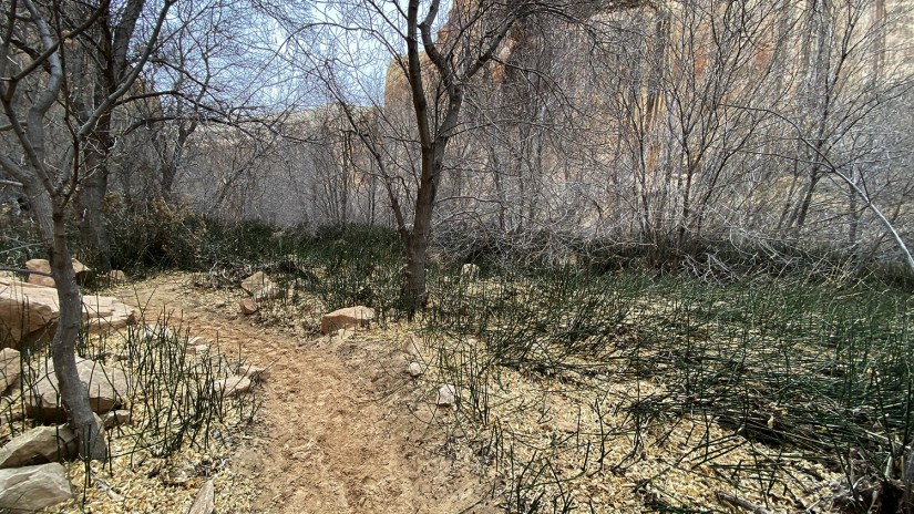
Thanks to the morning rains, the sandy surface of the trail was fairly compact, and we were able to keep a pretty decent pace. Along the trail are fifteen numbered signs which correspond to information in the trail guide – information on the plant life, indigenous inhabitants, petroglyphs, etc. We would stop at each one, and Eric read from the trail guide.

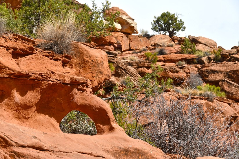


The trail ends at Lower Calf Creek Falls, which tumbles 126 feet and exists year around (meaning it just doesn’t appear after heavy rains).


The rain stopped shortly after leaving the falls, and we were left with sunshine. The trail had dried considerably, and combined with dozens of feet, returned to its sandy state. Overall, we didn’t have solitude on this hike, but it was enjoyable and so awesome to get a decently long hike in on the trip.


Back at the trailhead it was time for sandals and sandwiches. (Was this the day I took the bite from Eric’s sandwich?! I still cannot recall!)

Now it was time to continue down Highway 12, stopping when the scenery beckoned at several overlooks. In Escalante there is a large interagency visitor center, so we swung in to get our passport stamps and see what souvenirs we could round up to buy (magnets for me, patches and token coins for Eric). We stuck to not doing any slot canyons due to the on and off rain, but knew there was still adventure to be had on Hole-in-the-Rock Road (which I kept calling Hole in the Wall, which was an outlaw hideout in Wyoming and a line in a Chris LeDoux song…).


When you see a sign for an area called an “outstanding natural area,” one must stop, right? We turned towards Devil’s Garden Outstanding Natural Area, thinking we’d take some quick photos and just see what it was about. Well, let’s just say I was blown away, and this little outstanding natural area was big on fun and wonder!
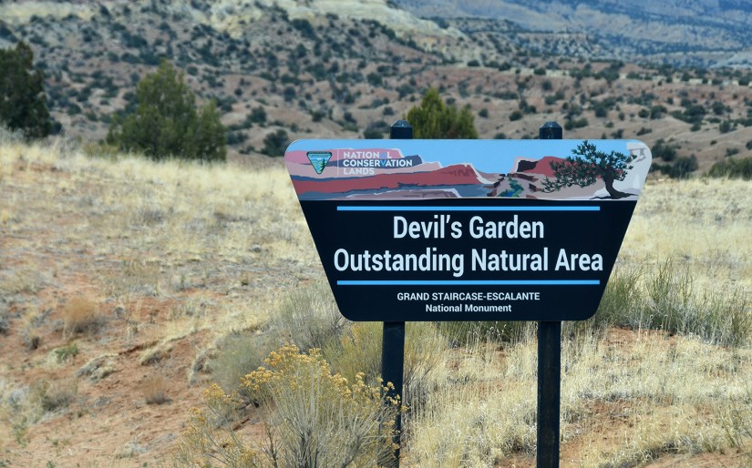

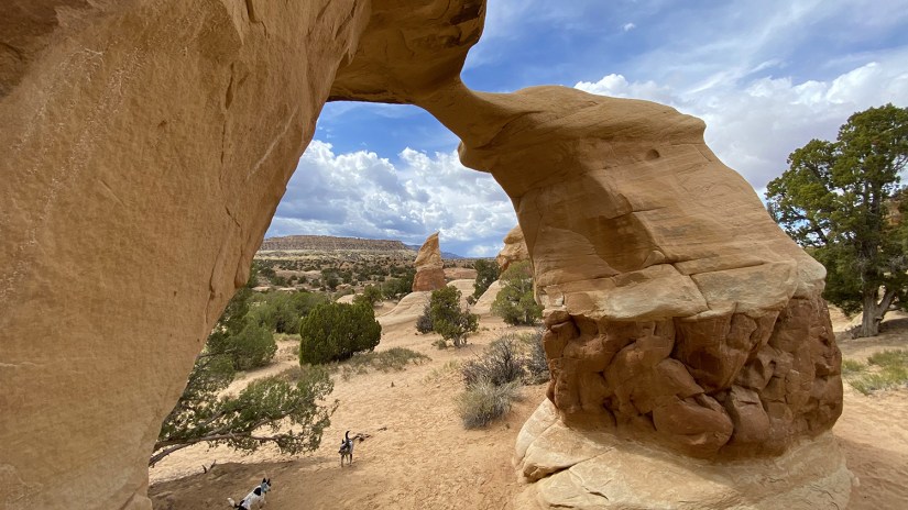
Devil’s Garden is a fairly compact area of sandstone hoodoos, arches, and various other formations with social paths that loop around. You can explore as much or as little as you want.
I found a formation to climb up in, and it all went well for some photos until it was time for me to turn around and get off the formation. I got stuck! I started laughing so hard I was pretty much rendered useless, which naturally Eric decided need to be captured on video, leading to even more laughter and me struggling helplessly to get my feet underneath me and off the formation. (Obviously, I eventually collected myself and got free.)


I was a bit bummed about not being able to (safely) do Peek-a-boo and Spooky slot canyons, but Devil’s Garden definitely helped make up for it. What we thought would be a quick stop turned into plenty of exploration!
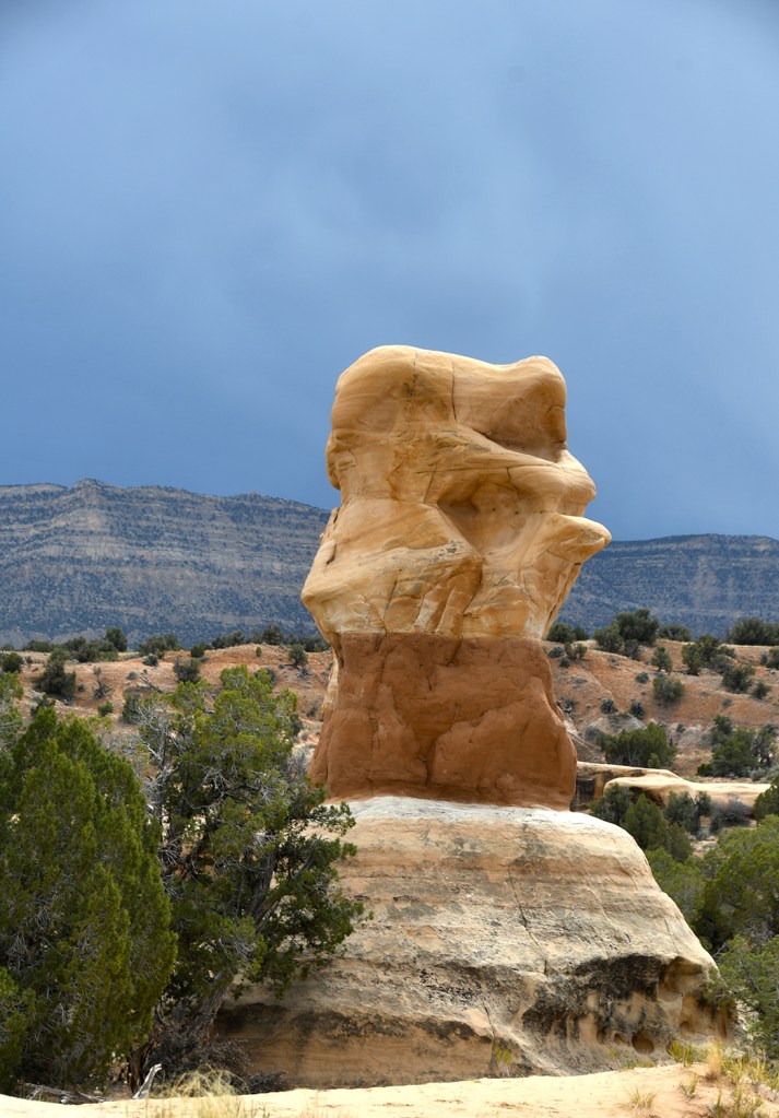
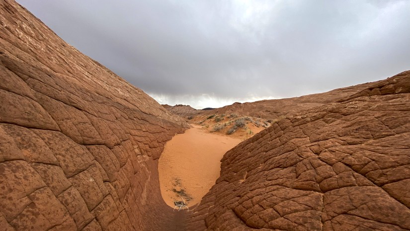
Next up was time to tackle Cosmic Ashtray. I was tipped off to this hike by a friend, but we didn’t really add it to the itinerary as nearly all the information online called for a 8-9 mile (roundtrip) cross country hike with no established trail and navigating difficulties. We simply just didn’t have time to add such an adventure. But Eric did some more digging and discovered we could access it from Harris Wash Road, cutting it down to a 0.6mile one-way hike. Yay for having a vehicle capable of such things!


Since a good chunk of the hike would be in sand, we opted to hike in sandals. I was a bit nervous, as my busted ankle was still, well… busted (severely sprained) and Chacos don’t offer any ankle support. But sand in boots also sucked, so I trudged along.


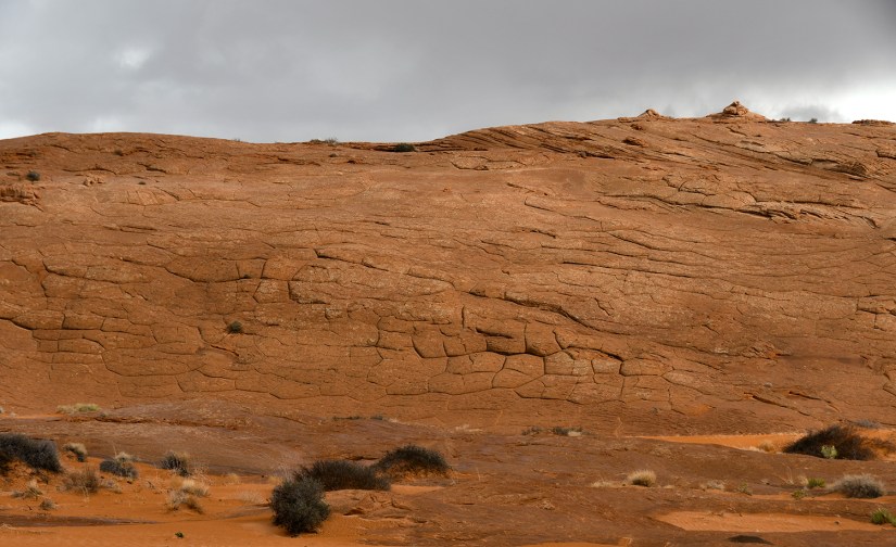
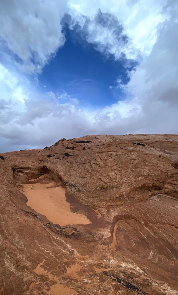
The landscape in this area was just plain weird… geometric formations in the rock were just bizarre. Because Cosmic Ashtray is also called “The Volcano,” it is easy to mistake the geology for being volcanic is nature, but alas, its just sandstone. Really cool sandstone.


Eventually we started trucking up the slickrock, which my ankle was not liking due to the off camber nature. We ran into a guy looking for a dog leash, and he asked if we were headed to the ashtray and said we were close. Eric took off climbing to see if he could find it, and I took to getting really nervous about the thunder and approaching storm (a lifetime of “below treeline before noon” is pounded into my head, and I do not like being the tallest object around) and started sliding back on the steep slickrock while trying to climb it which sketched me out about my ankle. I must admit, I was scared of the approaching storm and grumpy about my throbbing ankle. I told Eric to just bop up to the Cosmic Ashtray, take photos, and I could stay put and eat snacks while waiting for his return and amuse myself with the weird looking rocks. But he insisted on not leaving me, and we called the hike and started back to the truck.


So close but so far away 😦 Once I uploaded my Strava file we could see on the map how we got “off trail” on the nonexistent trail, and exactly how close we really were to Cosmic Ashtray, but also at the same time so far away. Naturally, I got a bit upset we gave up, but something about hindsight…. either way, it was an adventure in the desert! Just maybe not the most appropriate one to do on an injured ankle.
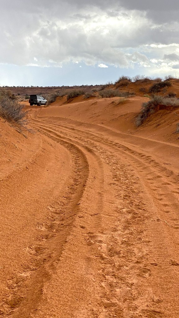
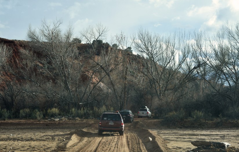
Oddly enough, every single car that was parked at the end of the road with us also left at the same time, so we were in a conga line heading out of Harris Wash. We schemed up that it must’ve been some sort of tour group, but in reality it really was just everyone leaving at the same exact time.
For the second night in a row we opted for dinner out, this time choosing Escalante Outfitters. This outdoors store has a great restaurant that serves up pizza and many local beer options (pizza and beer had gluten free options, too!).

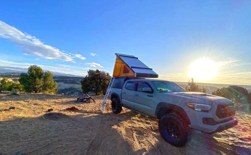
At dinner we searched for camping spot for the night, finding something that seemed promising on the Escalante River. It would be another night of arriving after dark and not knowing exactly what the scenery held.
Once arriving at the campsite, we circled around, and I spotted a bag hanging from a tree. Imagination running wild, I stated that maybe we needed to see what was in the bag, because what if there was a head or something?! I’m pretty sure it was some insect research thing, and no head was to be found.
Pull in, pop up the tent, sweet dreams! The next day would take us to Bryce Canyon National Park for some more hiking and southward out of the remote desert, out of Utah, and to the city where what happens there ends up being blogged 🙂


Leave a comment