
Day 2 – August 23, 2020
Because I was unable to change my camping reservations on short notice in Yellowstone, I decided to kick it around the Dubois area for a day before heading into the park. I delved into researching hikes, and learned about Whiskey Mountain (11,1547 feet) and Lake Louise that were fairly close by to Dubois. I’m not a rational person, so naturally I decided to plan on hiking to both the mountain summit and lake in one go, in one very long 12-mile hike.
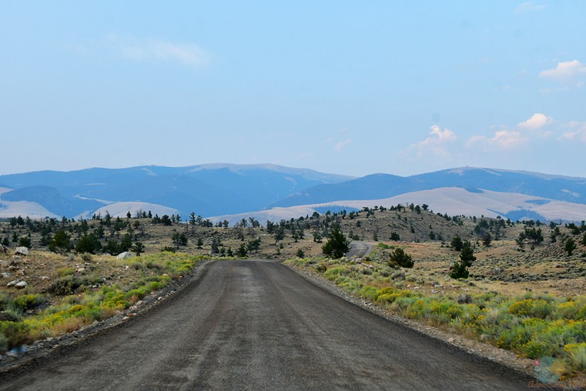
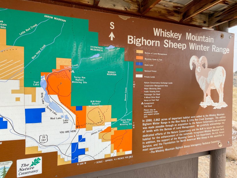
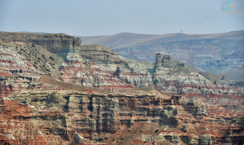
I set out early to the Torrey Creek Trailhead, which is at the edge of the Fitzpatrick Wilderness Area in the Wind River Range. The drive was short and pleasant on some great gravel roads. The hiking guide I read said it was the worst road they’ve ever driven on, but I didn’t find that so I’m not sure if the road got better, or what. But it was mostly smooth gravel nonetheless. I stopped to take the occasional photo, and then reached the trailhead before I really even had time to dive into drinking my coffee.


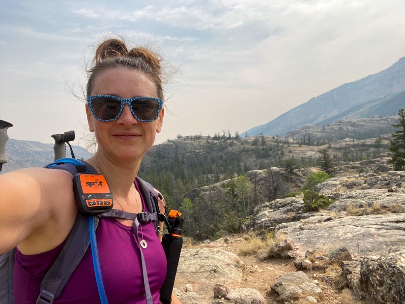
This is bear country, so I strapped on my bear spray with a nervous chuckle, sent a “I’m starting my hike” message through the SPOT communicator I borrowed from a friend for this trip, and started out! I decided the summit of Whiskey Mountain would be my first destination, and then I would go out to Lake Louise before heading back to the car. I got started about 7:40am.


Whiskey Mountain Trail climbs – a lot! This was my first big hike of the year, and my legs just didn’t know what I was trying to make them do. I was so nervous, if not a bit irrational, about seeing bears, so I started making up songs to sing out loud to the tune of the Beatles’ “Hey Jude,” and clapped and slapped my thighs (“Hey bear, don’t be sad!”). I felt stupid, but I didn’t want to be breakfast. Trudging uphill was wearing me down, but then I came across the largest wild raspberry patch I had ever seen, and I took to picking as many as I could shove into my mouth. I think I was truly in heaven at this point!
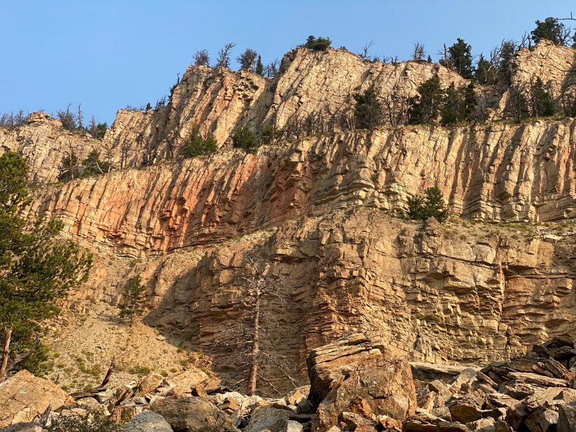


I continued up the trail, watching the smoke thicken and getting more tired. At about 2.8 miles, which was maybe 1.5 miles or so from the summit, I decided to turn around. It was hard for me to pull the plug, as I love summiting mountains, but I just didn’t want to keep going up and had some elevation gain left. So back down I went, stopping to gorge myself on more raspberries, and laughing about how much quicker the trip downhill was going.

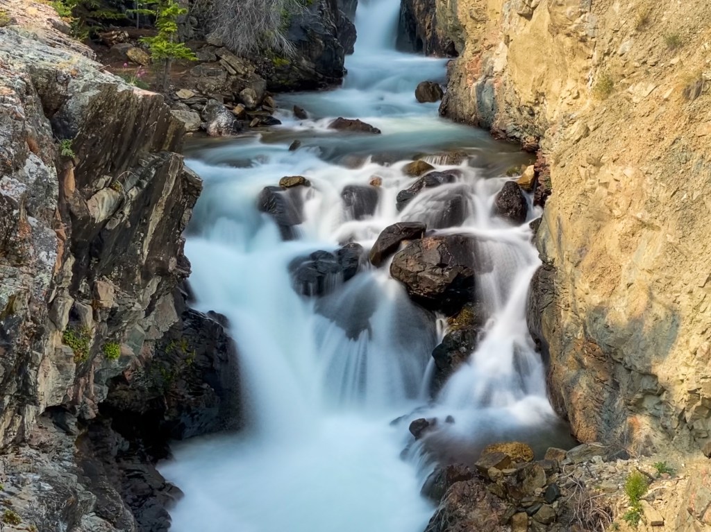
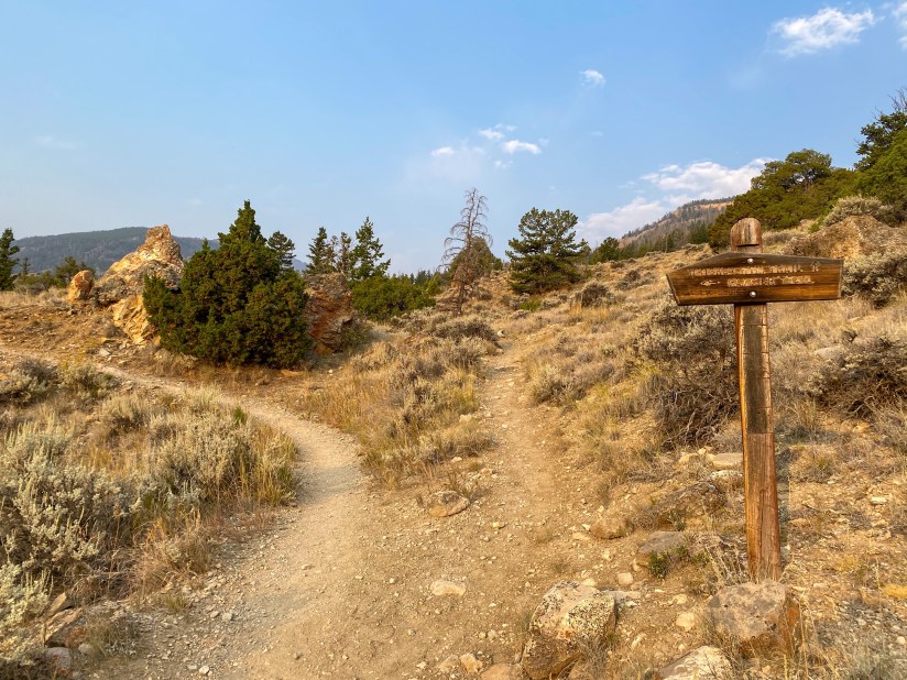
I still had Lake Louise in mind, and of course I had today’s waterfall to chase as well, Torrey Creek Falls! So I turned onto the Glacier Trail and headed towards the waterfall.


Woohoo, waterfall! And like I do at nearly every waterfall, I declared it one of my favorites. While the view from the footbridge is stunning, I noticed how I could get closer, so I crossed and scrambled down creekside. I decided this was a good place to eat my sandwich and refuel.

Though I could’ve just sat here forever, I knew I should probably keep moving if I wanted to finish out my hike. I scrambled back up to the trail, and turned onto Lake Louise Trail.

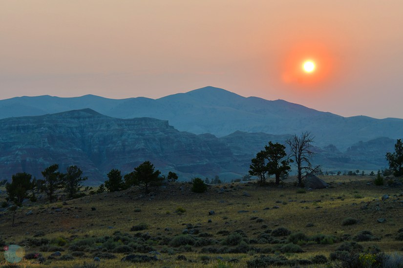
I just don’t think me making it to either of my hiking destinations was meant to be. It was hot, I was pouring sweat, and I begun to worry I was running low on water (which made me thinking one day I should buy a filter as clearly I was near a water source and that would’ve been helpful to be able to filter some water). I was passed by a trail runner and her son, and it made me feel even slower as I struggled up the rocky trail that had some steep scrambling portions at times. With maybe a mile or so to go, I decided to turn around and call it a day on my hike, and head back to the car. Wow, a hike without reaching the set destination – who am I? Well, the answer was clear, someone tired and running out of water. Win some, lose some! Still can’t complain about a morning spent exploring a new area!

Overall, I spent just about 4 hours hiking, and hiked 7.72 miles with 2,470 feet of elevation gain. Not shabby at all, even if I didn’t see a lake or summit a mountain!


Once back to my KOA campsite I took a much needed shower, ate a snack, and then headed out to the National Bighorn Sheep Center that is located in Dubois. I always like checking out local museums, and for $6 it was well worth getting out of the heat and learning something new!


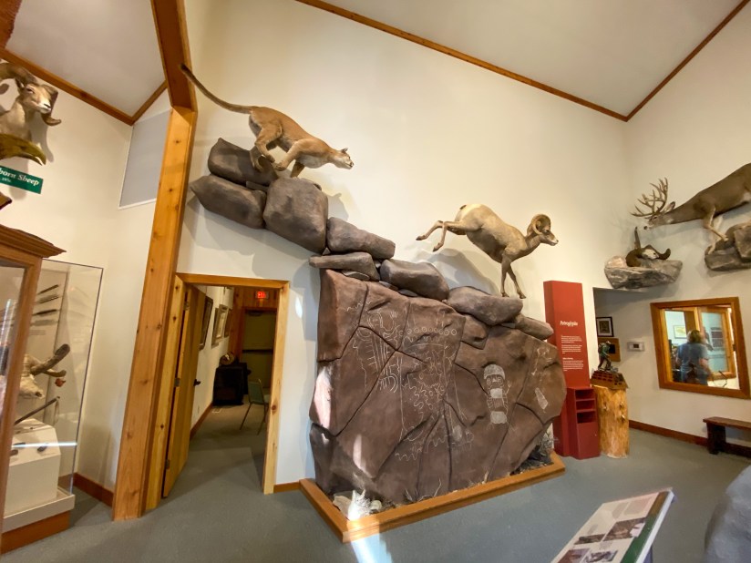
I took my time wandering around the exhibits, and watched the short video presentation on the winter range, the plight of the Bighorn sheep, etc. Then I poked around the gift shop, and found a fantastic Roadside Geology of Yellowstone Country book which I could not resist, and some souvenir magnets. I definitely think the National Bighorn Sheep Center is worth a stop to learn a bit about the area and these awesome animals!
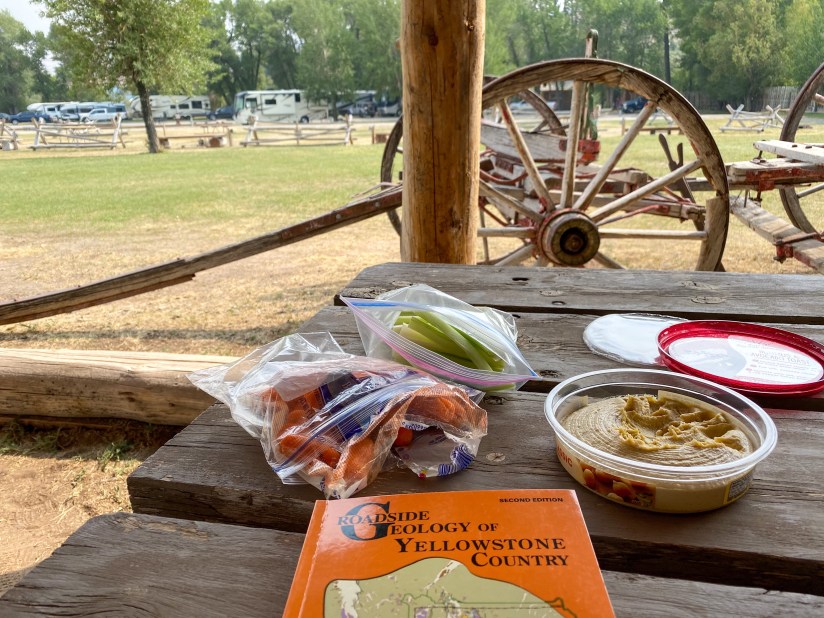
After getting all learned up about Bighorn sheep, I headed back to the campground and settled into a shaded area and read my new geology nerd book and ate some snacks. Once dinner time rolled around, the other campsites started filling in, and I took to cooking dinner. One of my new neighbors was two friends who were traveling together on a big road trip. I helped them set up their tent, and they gave me props for traveling solo and told me I should try to do it often. The rest of the evening I relaxed and got organized for an early morning departure to the main feature of my trip, Yellowstone National Park!


Leave a comment