

August 25, 2025
All good things must come to an end 😦 After three amazing days out in the wilds of Rocky Mountain National Park section hiking the Continental Divide Trail, it was time to finish out my loop with a nine mile jaunt back to my car at North Inlet Trailhead.
Trip itinerary (day discussed in this blog is italicized):
- Day 1: North Inlet Trailhead to Pine Marten wilderness campsite
- Day 2: Lakes Nokoni and Nanita
- Day 3: Pine Marten wilderness campsite to Tonahutu Meadows wilderness campsite
- Day 4: Tonahutu Meadows wilderness campsite to North Inlet Trailhead
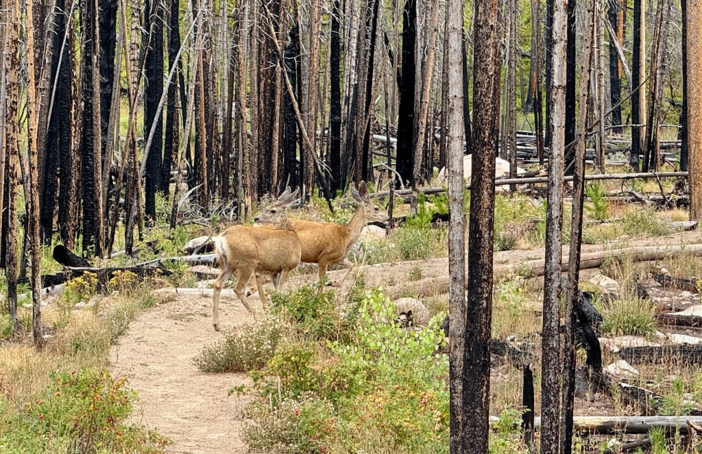
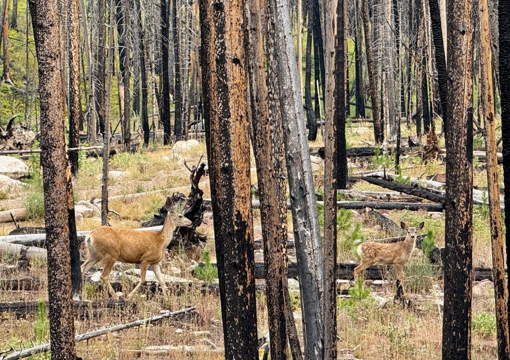
The sound of bugling bull elk (one of my favorite sounds to hear!) greeting me after my alarm, I shook myself awake on my coldest morning yet of this trip. Learning my lesson about breakfast (mostly my inability to eat it sometimes), I fixed up some coffee with Breakfast Essentials and took to breaking down camp as some deer curiously watched. Taking down my tent is my last chore of breaking camp, and wouldn’t you know, it started raining as soon as that time came… oh heck, the tent was already soggy so not much harm done!

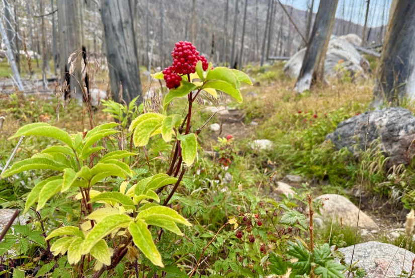
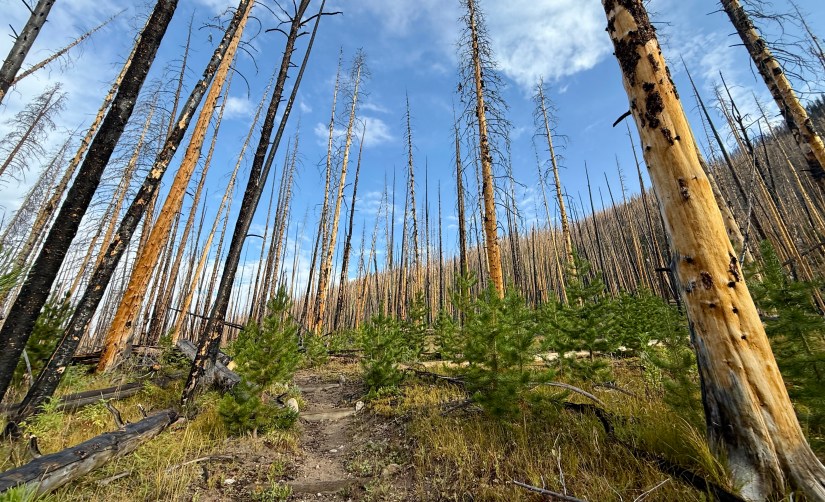
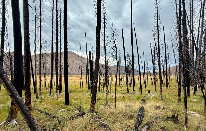
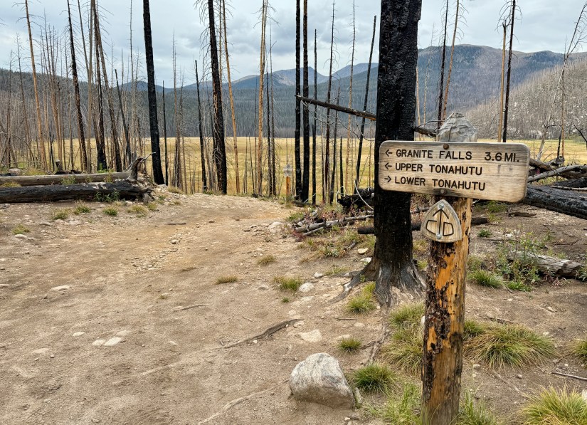
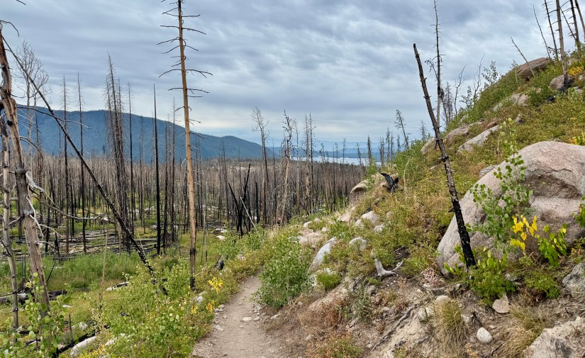
The hike out to my car would probably be the least inspiring leg of my trip as the entire hike, aside from some scattered patches, was in the East Troublesome Fire burn scar. To make up for the uninspiring views, I would pass one waterfall, lose a ton of elevation, and pass thousands of baby pine trees. Not all was lost! At 7:10am I said goodbye to the Tonahutu Meadows wilderness campsite.


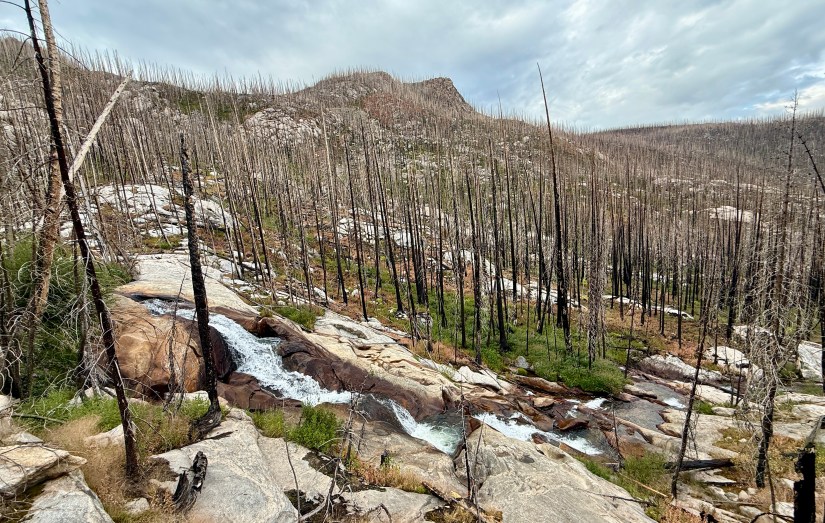
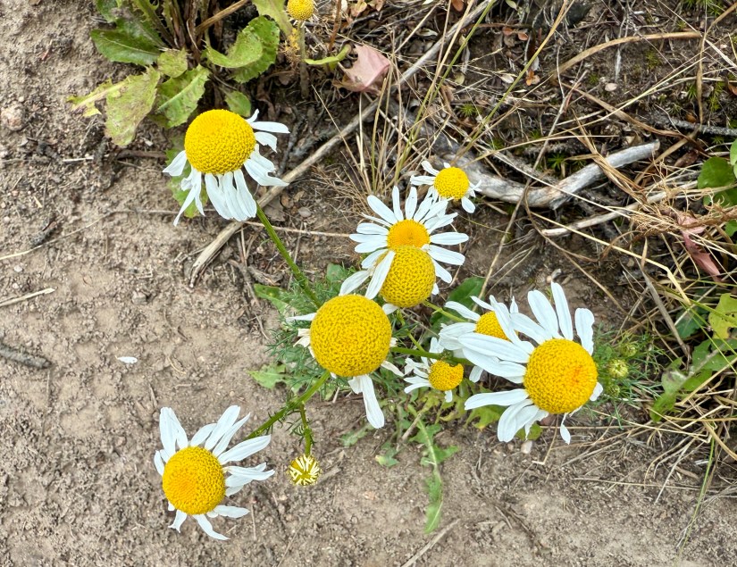
Apparently I found my trail legs by this fourth day, and I cruised pretty steadily. The first major “sight” on this section was Granite Falls. Located in a heavily burned portion of the trail, the Tonahutu Creek cascades over granite, forming a decently sized waterfall. I’ve never met a waterfall I didn’t like, so I paused to capture some photos before continuing on.


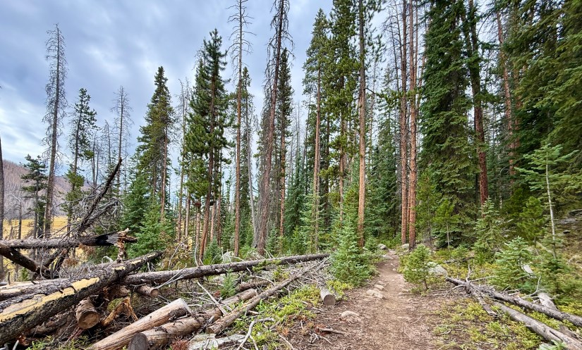
The rocky trail gave way to fairly cruise-y terrain and I just kept the miles ticking off. The trail made a hard turn into some unburned forest and started its very long journey along the edge of Big Meadows. The size of Big Meadows took me by surprise, as it is indeed very very very big! I was hoping I would see some wildlife, particularly moose or elk, but sadly I didn’t not. Big Meadows also marks the beginning of many PUDs, or “pointless ups and downs” of the trail, which I found to be slightly irritating, but not too troublesome.

I was thankful for a cloudy day on the cooler side, as the trail ends up being pretty exposed. I am also thankful I carried out two liters of water, as Tonahutu Creek ends up being pretty far from the trail at times, or in marshy areas that would make filtering water tough. I put my head down and just walked, with one break to eat a snack and take a nature break around the halfway mark.

While this was very much a “put the head down and hustle” type of hike, I enjoyed myself even though the scenery was a bit blah (so this is why Rocky Mountain National Park has a bad rap among CDT thru hikers…). My longest backpacking trip to date was wrapping up, and I felt peppy and strong. I had a lot of fears going into the trip, and to be ending on such a successful high note was not only a pleasant surprise, but a boost to my morale.


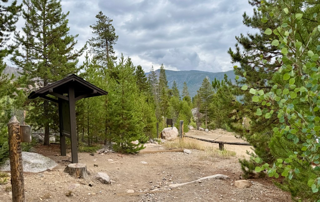
Soon the sound of faint vehicular noise came through the trees, along with widen, improved trail conditions. While I was dreaming of some greasy fast food and the comfort of my car, I wasn’t quite sure I was ready to reenter the world. Four days of no cell service, blissfully unaware of all of *gestures wildly at everything*.


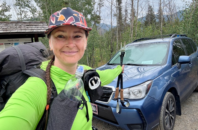
9.1 miles in just a bit over three and a half hours made me super happy (if I had left just a bit earlier, I so could’ve done a “10 before 10”!). I tossed my pack in my car, and changed into some fresher clothes as I caught my mom up on my plans for the day over the phone. Originally I was going to drive home to Cheyenne over Trail Ridge Road, but since my plans for Labor Day weekend had changed, I decided to head to Laramie to pick up my cat from my parents (who lovingly babysit him) before heading home. I made a stop at the Kauwuneeche Visitor Center for trinkets (who doesn’t need a stuffed pika to memorize such an awesome trip?), passport stamp, and to pick up my next backpacking permit from the wilderness office. Not wanting to spend a gazillion dollars on lunch in Grand Lake, I have no shame in admitting I swung by the McDonald’s in Granby for a Big Mac before hitting the stormy road north to Laramie.
I absolutely recommend this loop in Rocky Mountain National Park! It is one of the very few higher mileage options that doesn’t involve doing an out and back, and there are plenty of side quests to be had to alpine lakes to add miles. I found it a great way to test the body (and mind) on a decently committing loop at higher elevations, especially as I begin to plan a longer section hike of the CDT and Colorado Trail in the coming year. Sure, I had moments of grumbling, but overall my spirits remained incredibly high as I explored the west side of Rocky Mountain National Park for the first time ever.
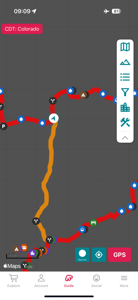
Trip details (all data recorded on Garmin Enduro 3):
- Mileage: 9.1 miles
- Elevation gain: 404 feet
- Time: 3 hours 38 minutes
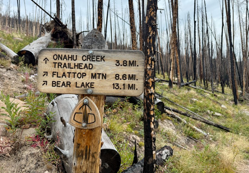
- Trail: CDT 1391.75-1396 & CDT Alt 4.4-0 / Tonahutu Trail
- Start: Tonahutu Meadows wilderness campsite
- End: North Inlet Trailhead
Read about Day 1 here, Day 2 here, and Day 3 here.
For information on obtaining wilderness camping permits in Rocky Mountain National Park, please visit my guide!

Baby deer! And baby trees! Yay!!
LikeLiked by 1 person
All the baby trees! I never knew my fondness of small pine trees was so big, ha!
LikeLiked by 1 person
That’s an amazing hike. Like you say maybe the scenery isn’t perfect but I still think the nature was very beautiful, and you took great pictures.
LikeLike