
Summiting a mountain in Rocky Mountain National Park is usually quite the feat, but it does not always require long hours, pre-dawn starts, and going above treeline. Deer Mountain, a forested 10,013 foot peak that dominates the view as you enter the park (though if you’re like me, you’re distracted by those high alpine peaks more often than not) is a great option for nabbing a summit, but not having to do anything too crazy to achieve it.
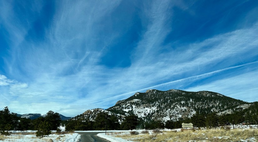
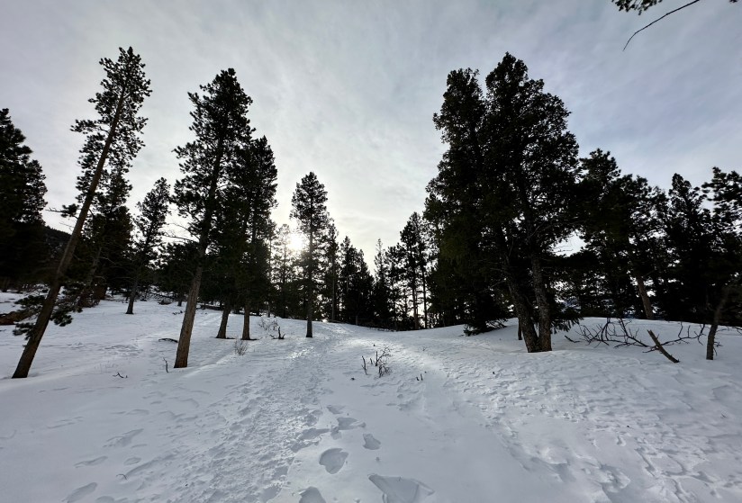
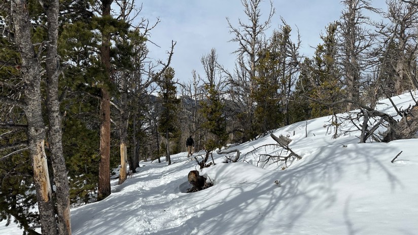
Knowing this is quiet a popular hike, even in the winter, I was happy for an early arrival at the Deer Ridge Junction Trailhead, which still had plenty of parking left (it would be full by the time we were done hiking!). Being early February and winter after all, the entire trail from the car to summit was on packed snow. I donned the microspikes, and laughed about how the forecast never said anything about hellacious winds.

The climb starts out gentle, and never really gets super steep. For a mountain summit hike, this is quite pleasant! Aside from the wind (seriously, it was that bad!), it was a pleasant day to be outdoors, with light clouds and temperatures between low 30s to low 40s by the end.


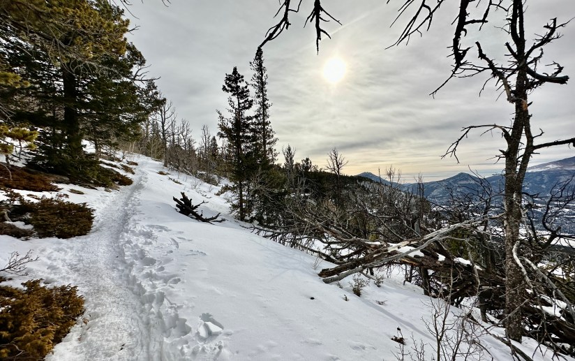
After about 2.5 miles of solid ascending, the trail flattens out and then descends mildly. It might feel like you’ve reached the top, but alas, the summit has not not been missed somewhere in the trails. I groaned, as I hate anytime I have to walk back uphill when descending back to the trailhead. Luckily it does not last long, and after a quarter-mile, the trail will begin the final climb to the summit.


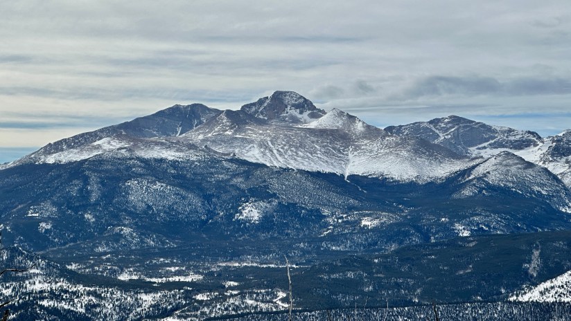
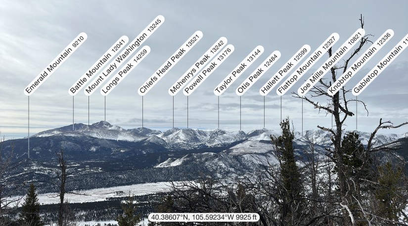
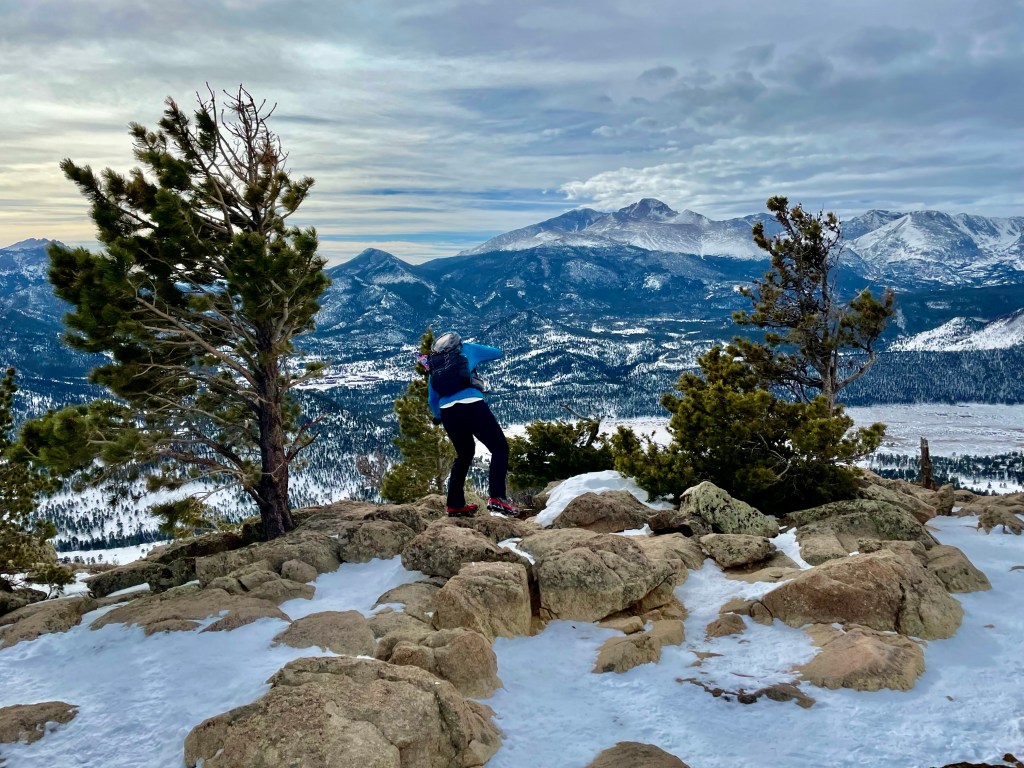
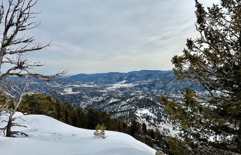
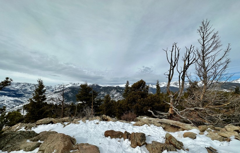
After about ninety minutes of casual hill walking, we arrived on the summit! The winds, were had been crazy all day, were even crazier, so some quick photos of the panoramic views were taken, and we scampered back into the trails to have a snack.


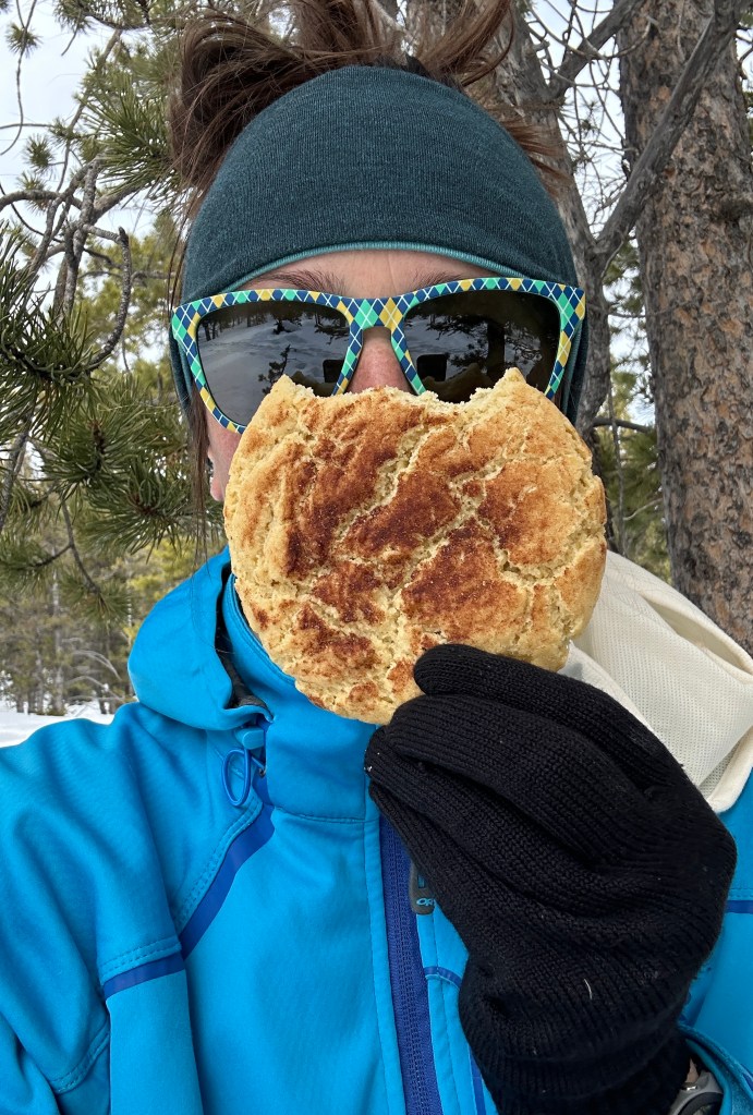
There was a steady stream of people heading up the trail during the descent, and I gave myself a pat on the back for the early start (no entrance line, plentiful parking, and an ascent done in solitude). Overall, the hike clocked in at 6.44 miles with 1,418 feet of elevation gain. With our casual pace, it took two hours fifty minutes total (including the cookie break).

Details:
Date Hiked: February 5, 2023
Trailhead: Deer Ridge Junction
Total Mileage: 6.44 miles (Garmin Forerunner 255s/Strava)
Elevation Gain: 1,418 feet
Time: 2 hours 50 minutes
Weather: Stupidly windy, cool
Trail Conditions: Snowpacked
Special Considerations: This hike is within Rocky Mountain National Park, which has an entry fee. During the peak summer months, a timed entry reservation must also be obtained to reach this trailhead between 9am and 3pm.


Leave a comment