
Day 5 – August 26, 2020
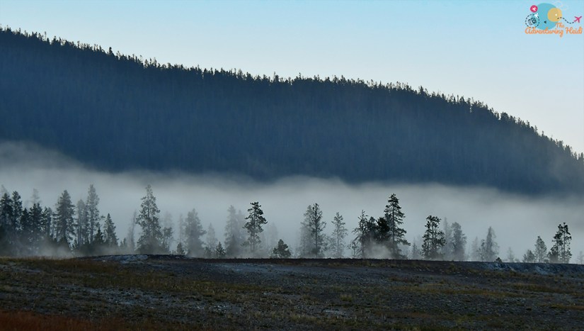
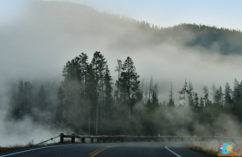
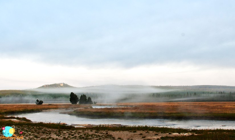
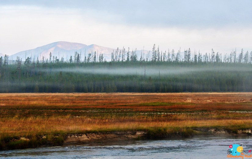
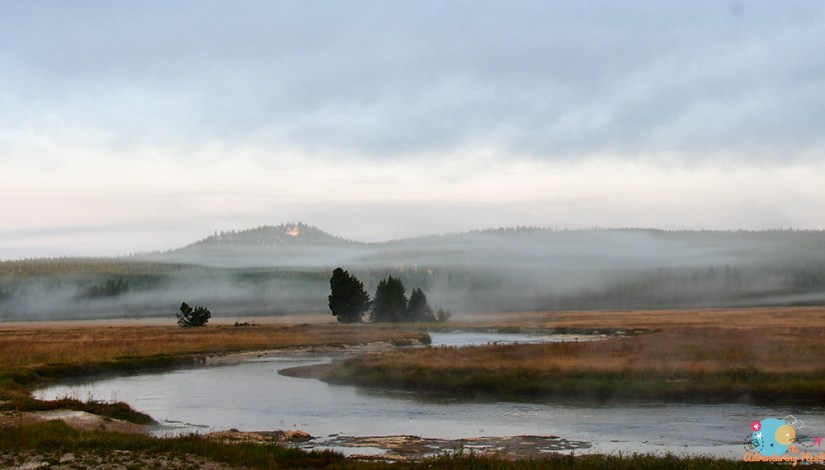
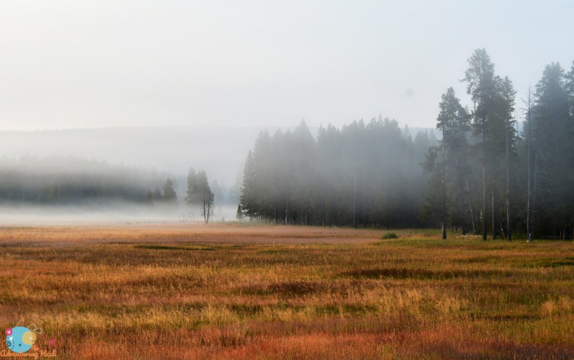
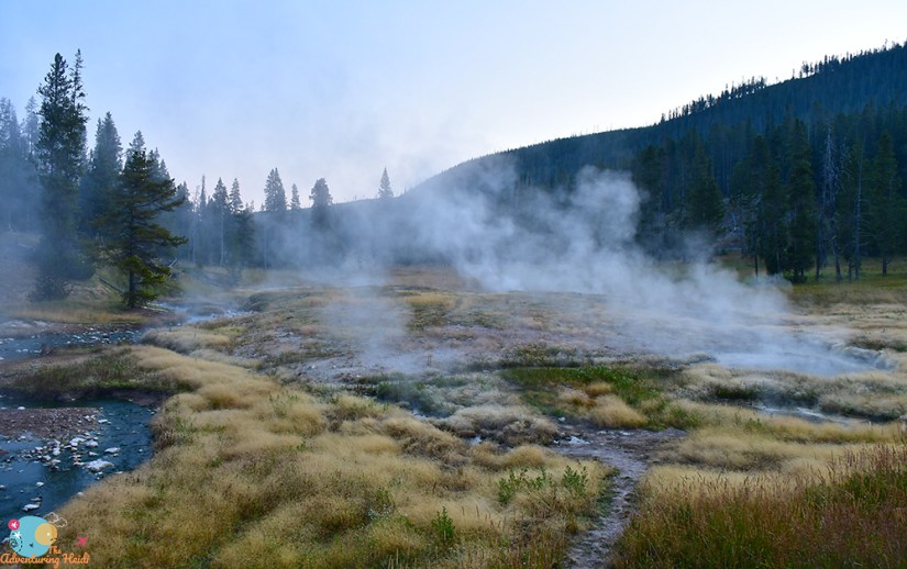
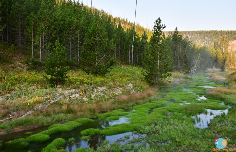
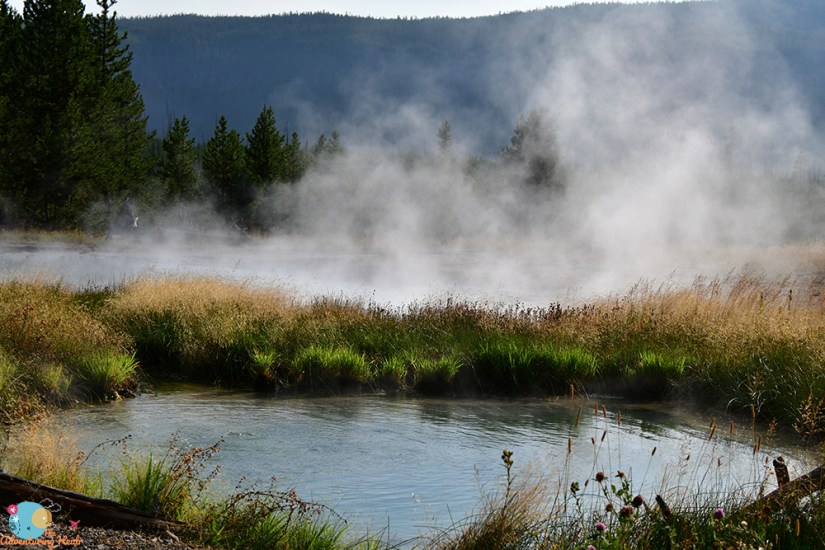
Early mornings in Yellowstone are special. The cool temperatures create a steam-filled landscape that just puts me in the most special mood. I’m not a morning person at all, but I became a morning person in Yellowstone. Today would have me driving from Madison up to Mammoth Hot Springs near the Montana border, and naturally I got an early start to beat the crowds, and because I knew I’d be stopping frequently for photos of the steaming landscape. Since the area around Tower Falls was closed, plans for this day would be a bit shortened, but that was fine as I could knock off Biscuit Basin and Fountain Paint Pots in the afternoon and evening. Another day of adventuring, full steam ahead!
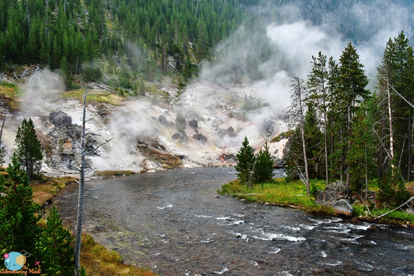
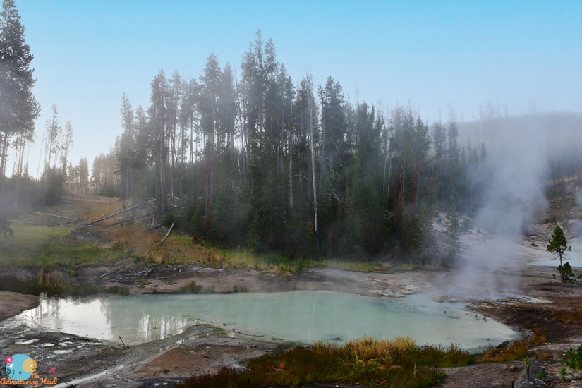
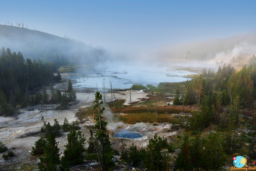
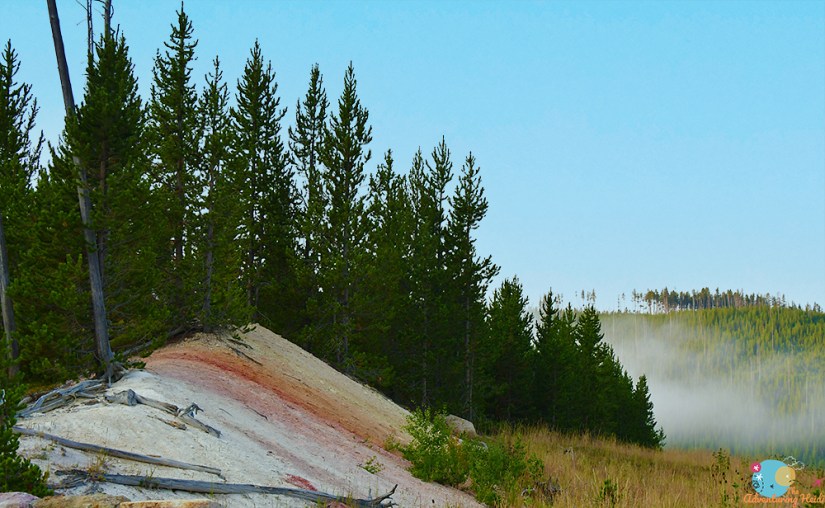
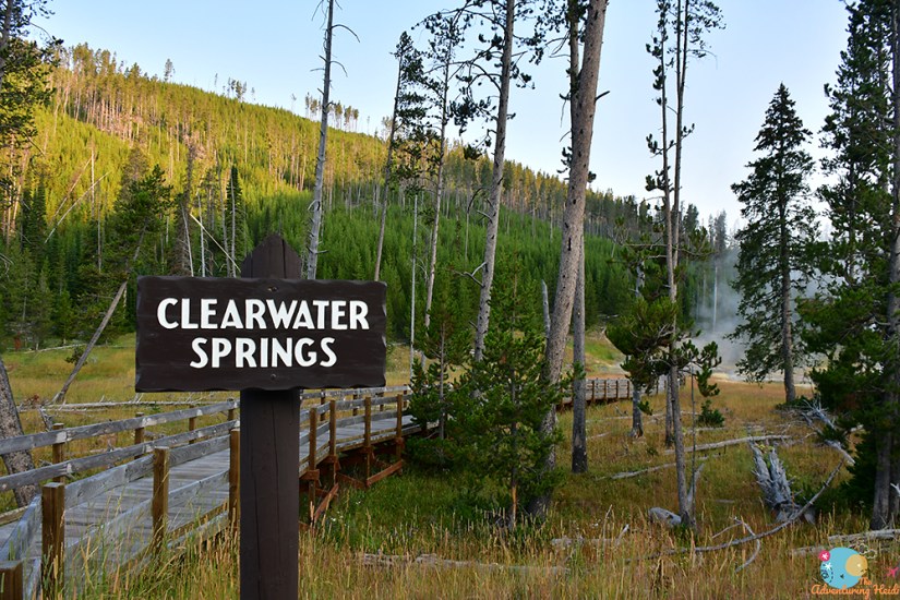
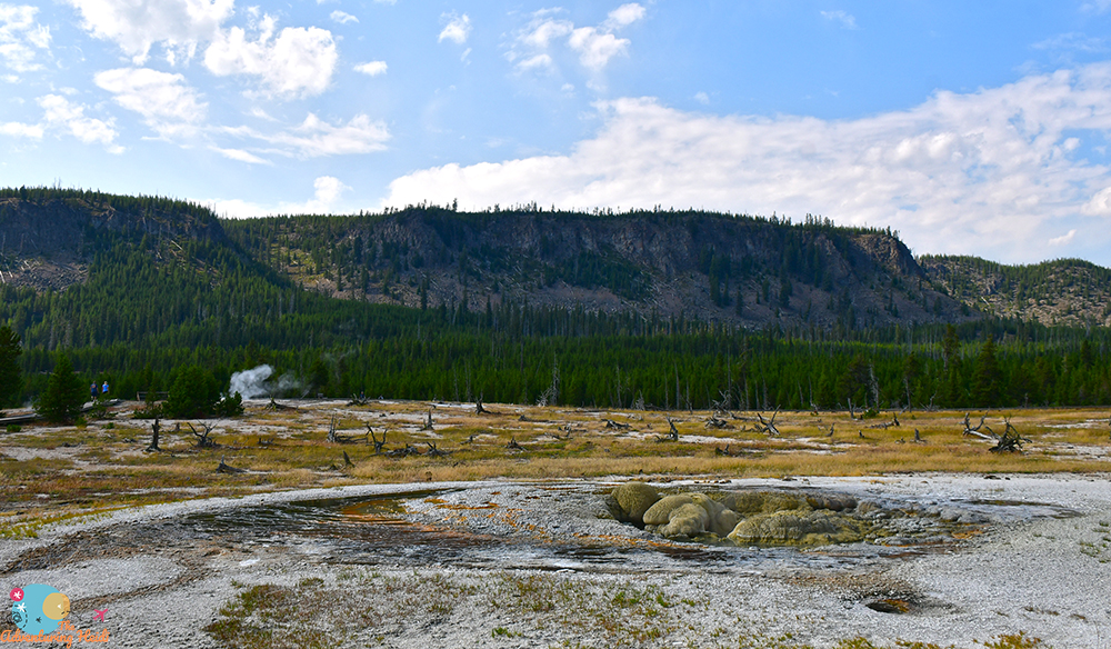
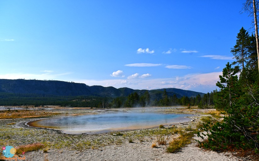
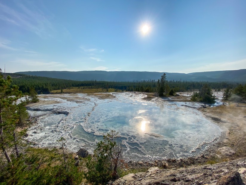
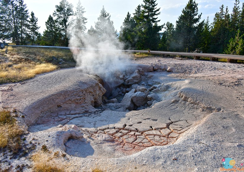
I backtracked east towards Norris Geyser Basin, passing the places I had visited the previous day. At Norris I continued north on the Grand Loop Road, making stops when I fancied, including at Frying Pan Springs, Clearwater Springs, and Roaring Mountain. Pretty much if I saw a boardwalk heading off into the trees, I’d stop!
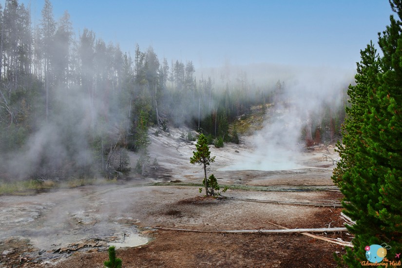
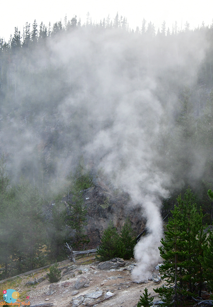
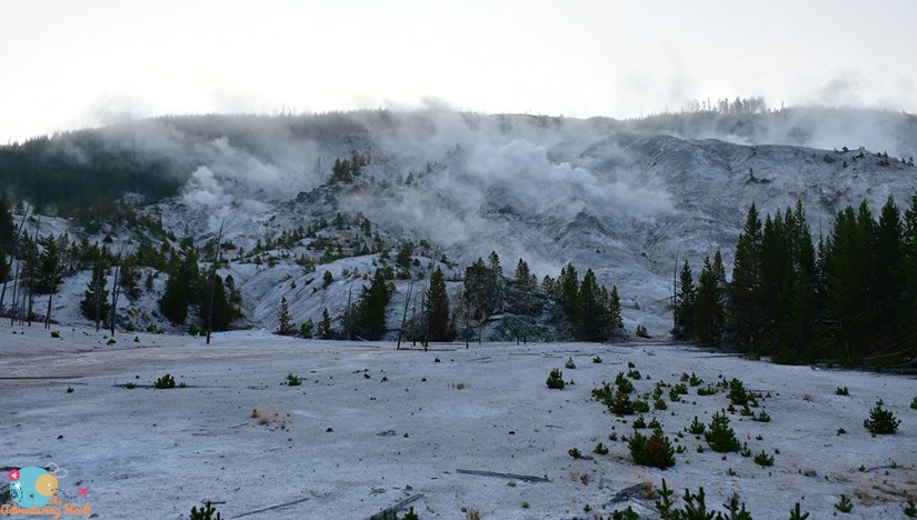
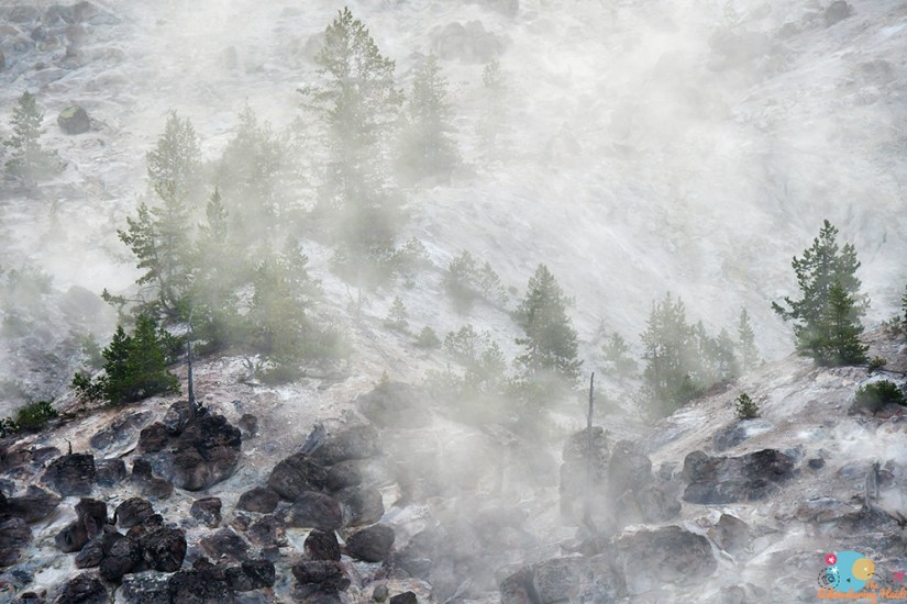
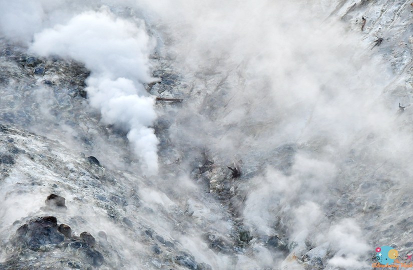
Roaring Mountain is an interesting stop. This area of steam vents and fumaroles was apparently loud enough back in the 1880s that it earned its name due to the roaring you could hear. But due to the ever-changing geology of Yellowstone, it is quite quiet now. After stopping here both in the morning and afternoon, I think the morning is best as more of the steam is visible, but lighting is also challenging as you’re looking towards the sun.
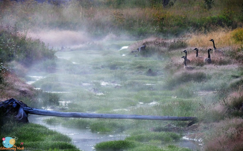
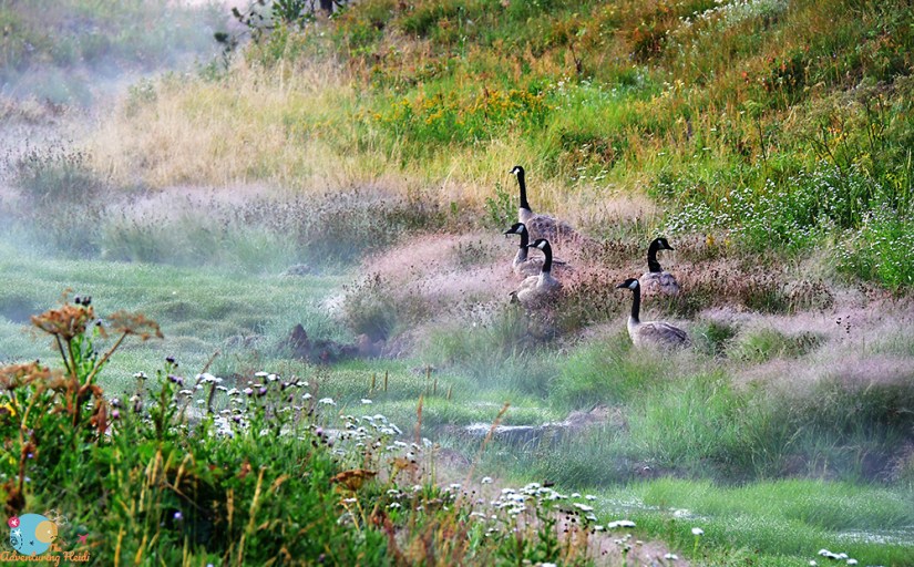
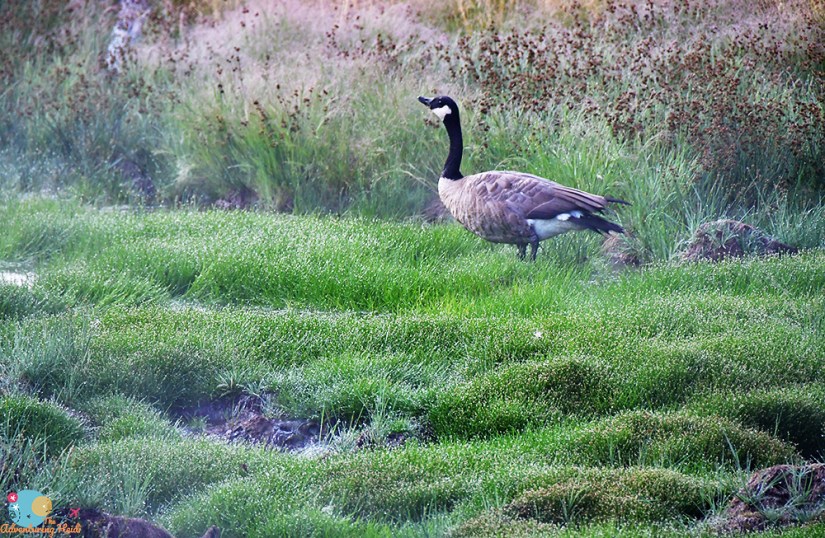
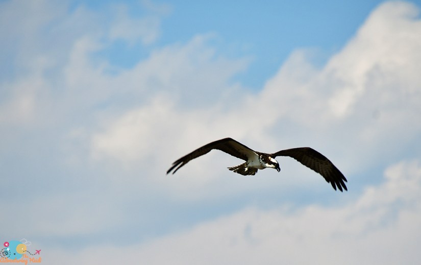
Apparently, I also stop for geese. I didn’t visit Yellowstone for the wildlife – although super cool, because I live in Wyoming seeing these animals are not a rarity for me. However, I spent a significant amount of time photographing the geese below…. I’ll blame the thermal waters!
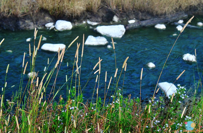
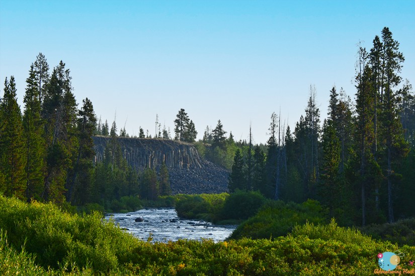
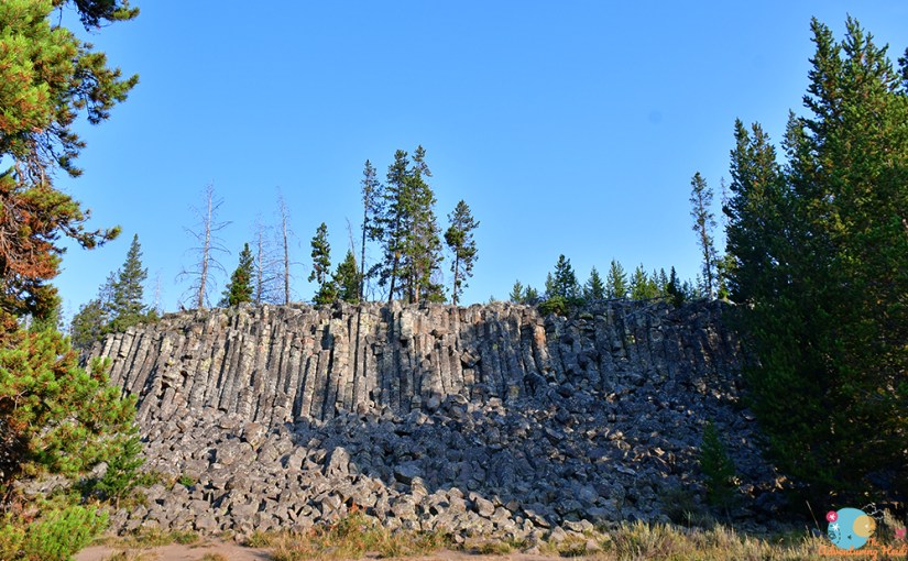
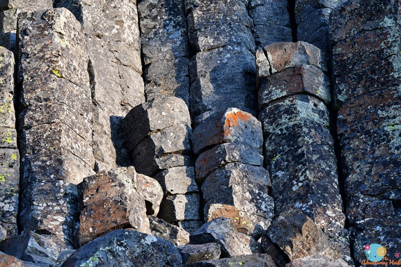
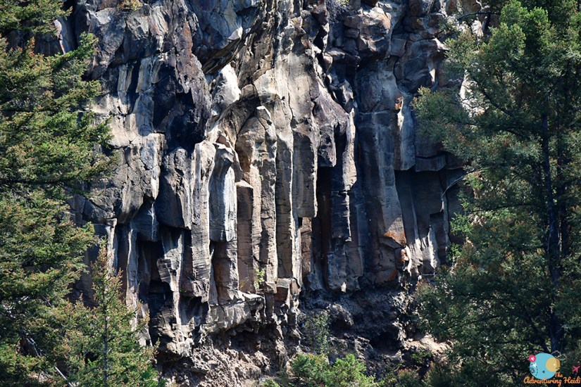
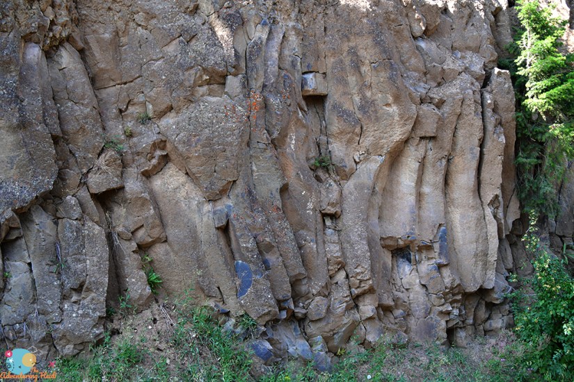
I turned off to see the Sheepeater Cliffs by the Gardner River, which is a cliff of impressive basalt formations, much like the Gerðuberg cliffs in Iceland. The lighting wasn’t the best, but it still was a nice stop (I’m a basalt nerd, what can I say? I need a bumper sticker that says “Will brake for basalt!”). This basalt is part of the Swan Lake Flat Basalt and is dated to about 500,000 years old
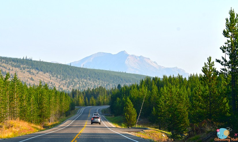
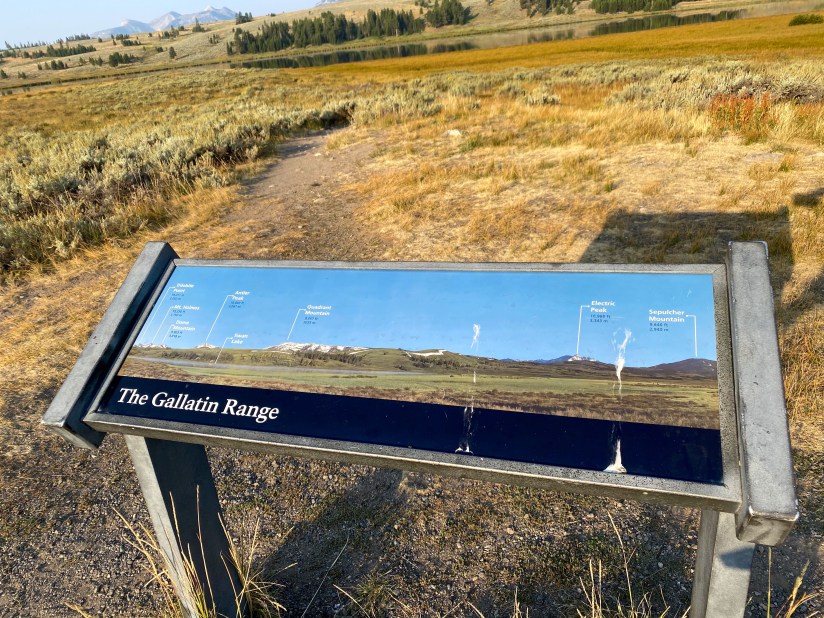
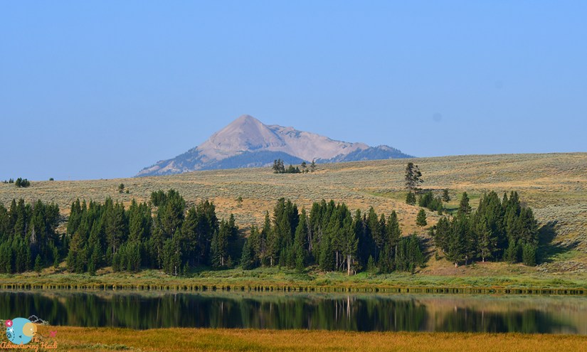
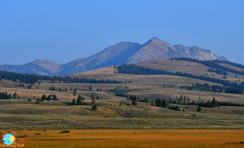
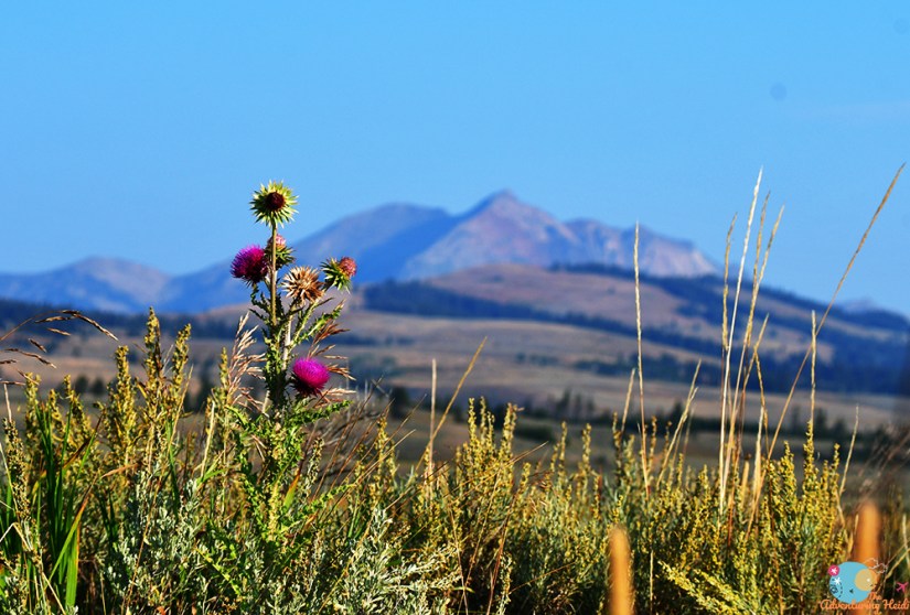
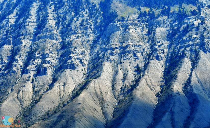
The next stop came fast as I stopped at a pull off at Swan Lake Flat that had a panoramic view of the Gallatin Range. I was also hit with a barrage of cell phone notifications as my phone picked up service for the first time in 12 or so hours (for those who are curious, the Mammoth area has excellent 4G LTE service, at least for Verizon customers – I don’t know if this is a blessing or a curse).

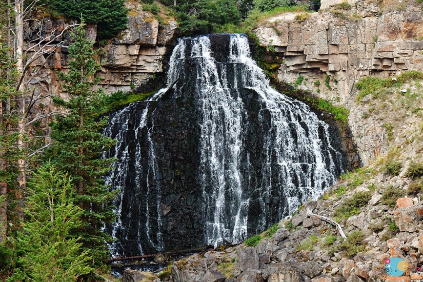
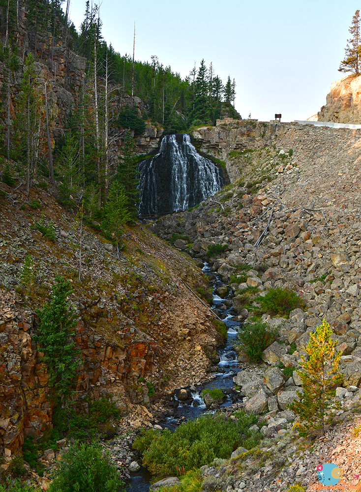
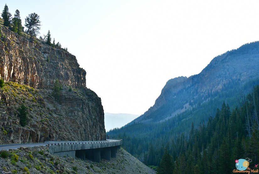
First waterfall of the day was next, Rustic Falls. This is a quick highway stop right before descending through Golden Gate towards Mammoth Hot Springs.
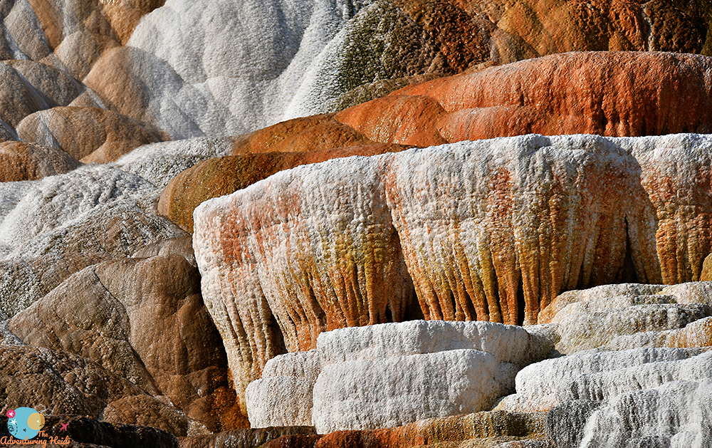
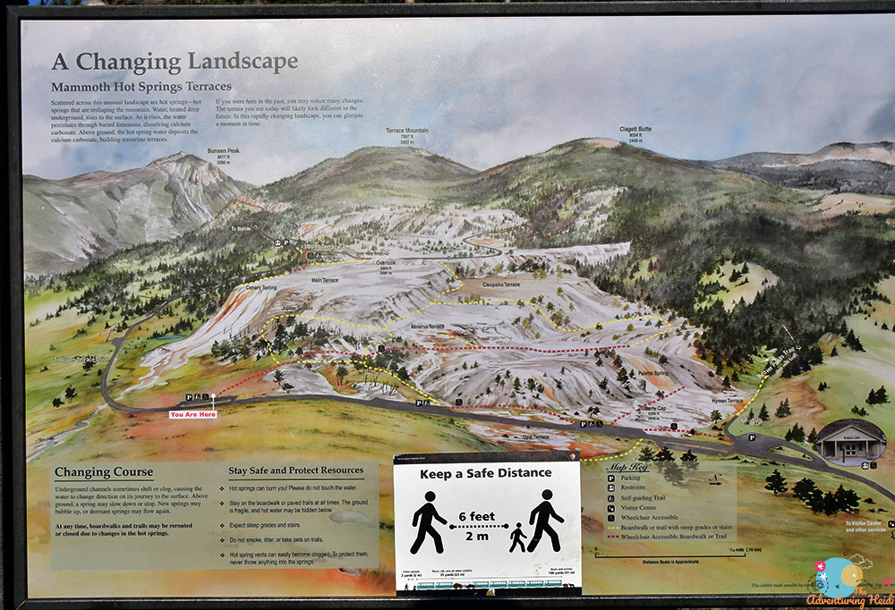
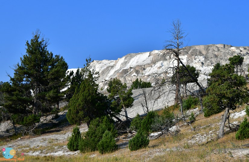
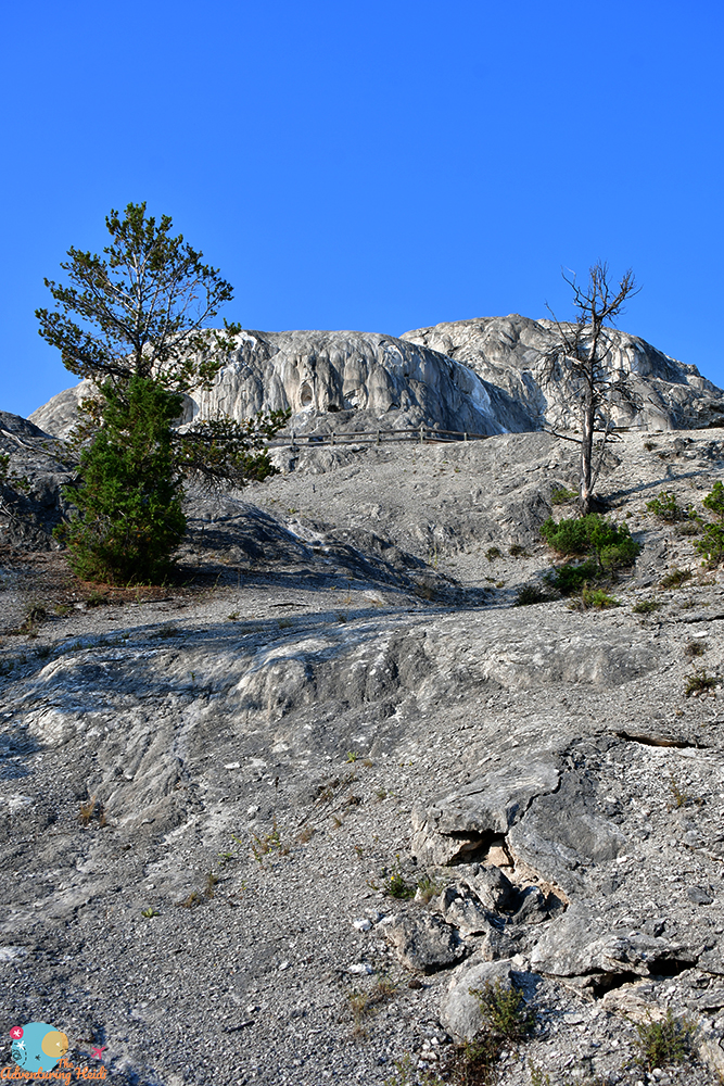
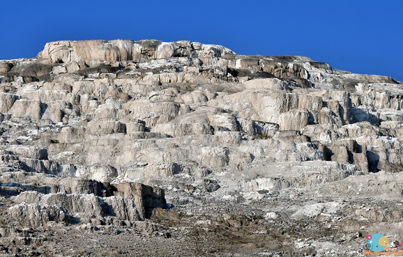
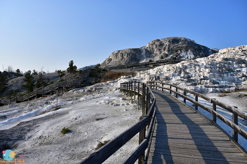
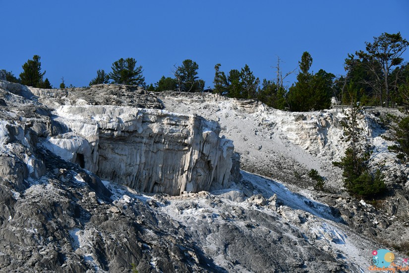
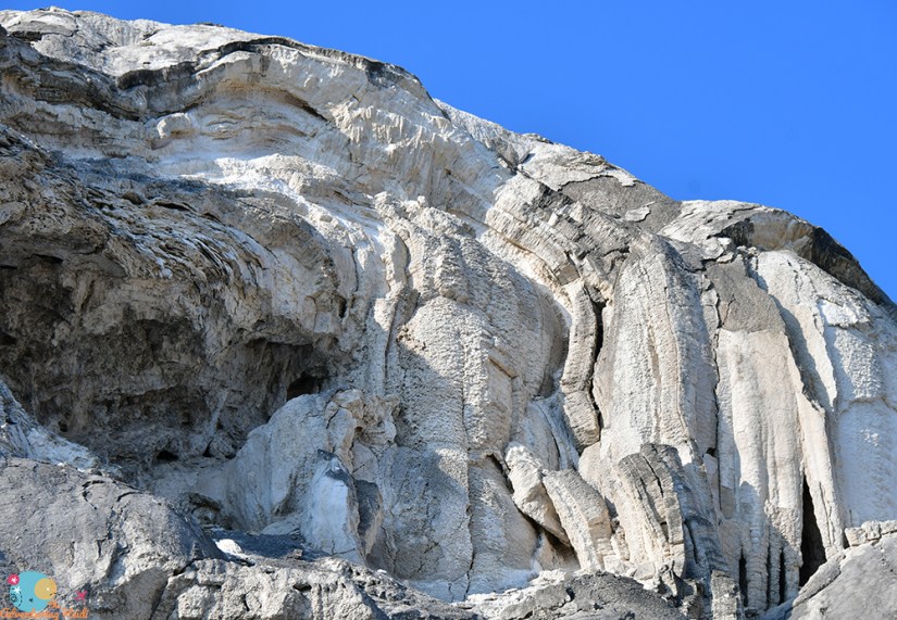
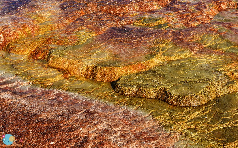
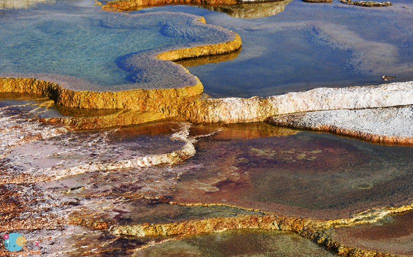
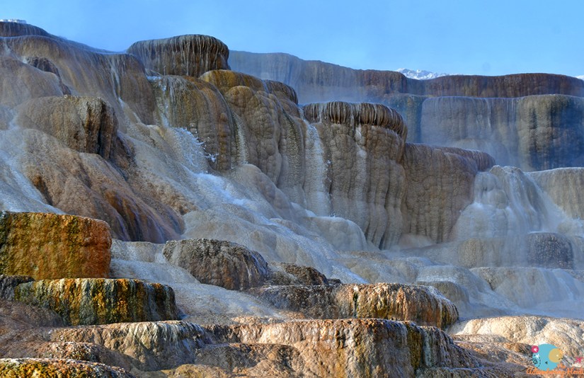
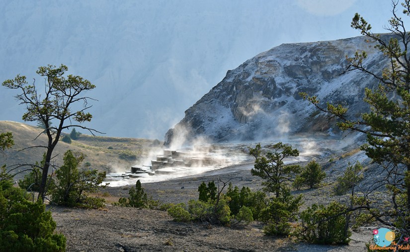
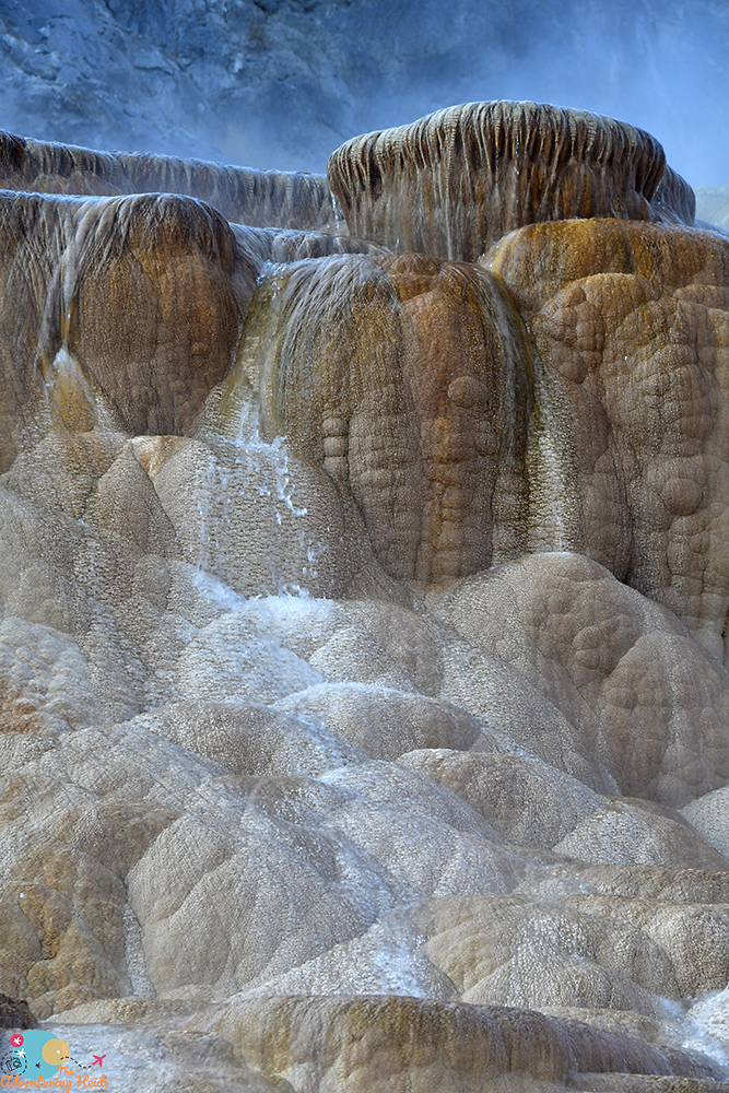
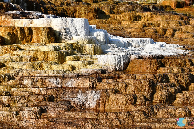
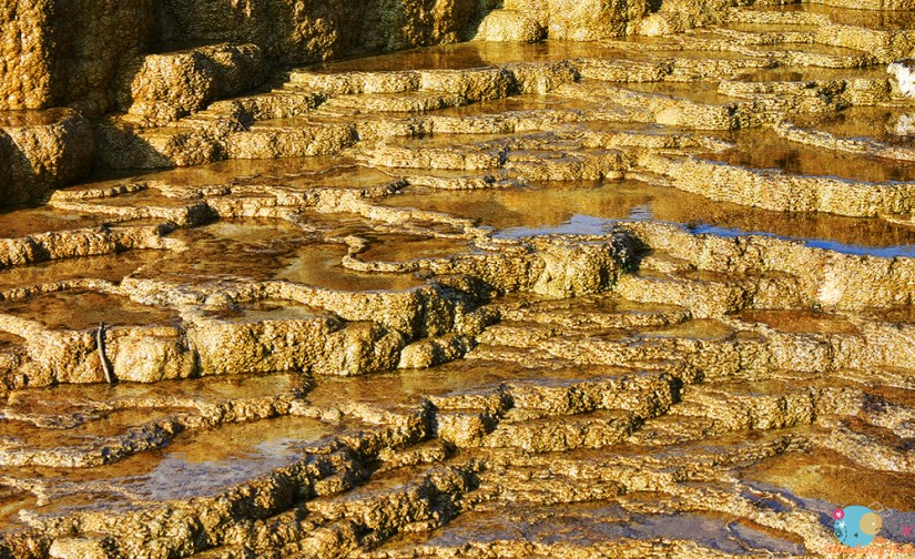
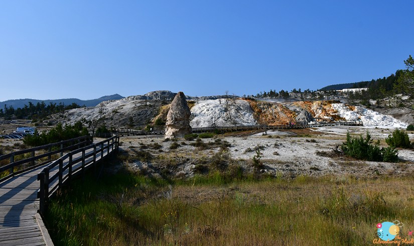
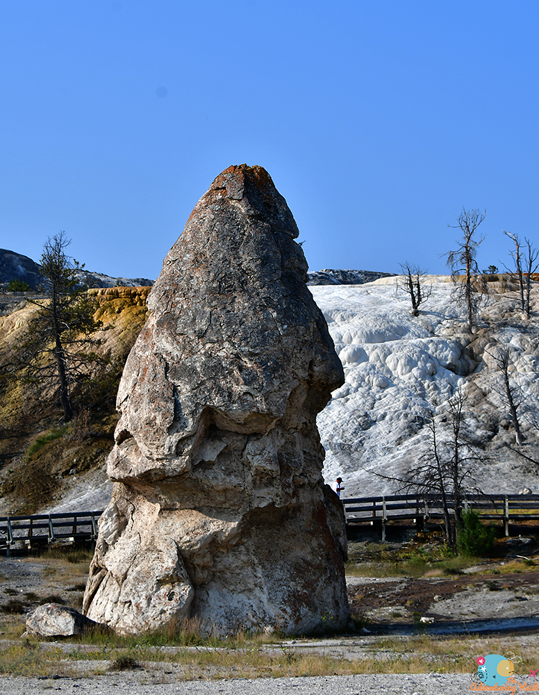
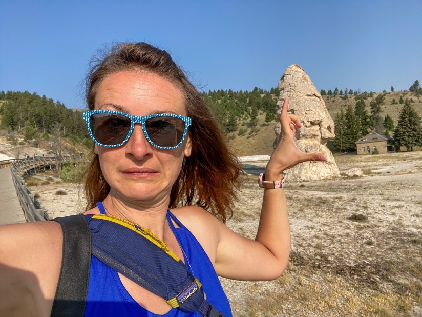
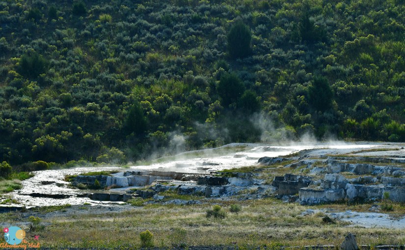
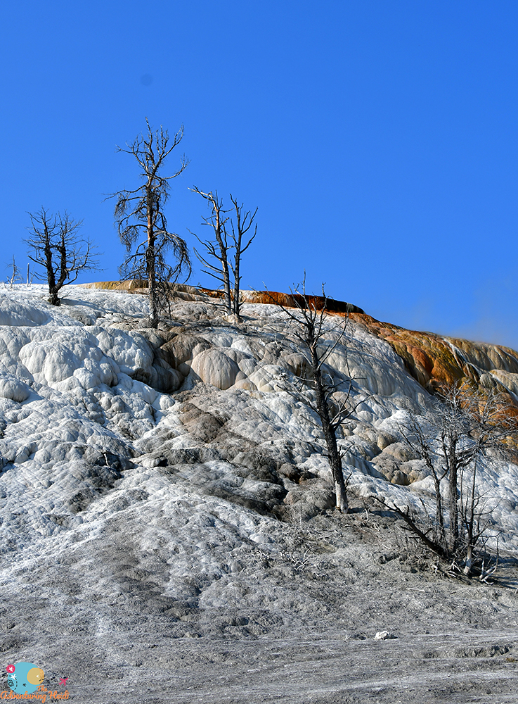
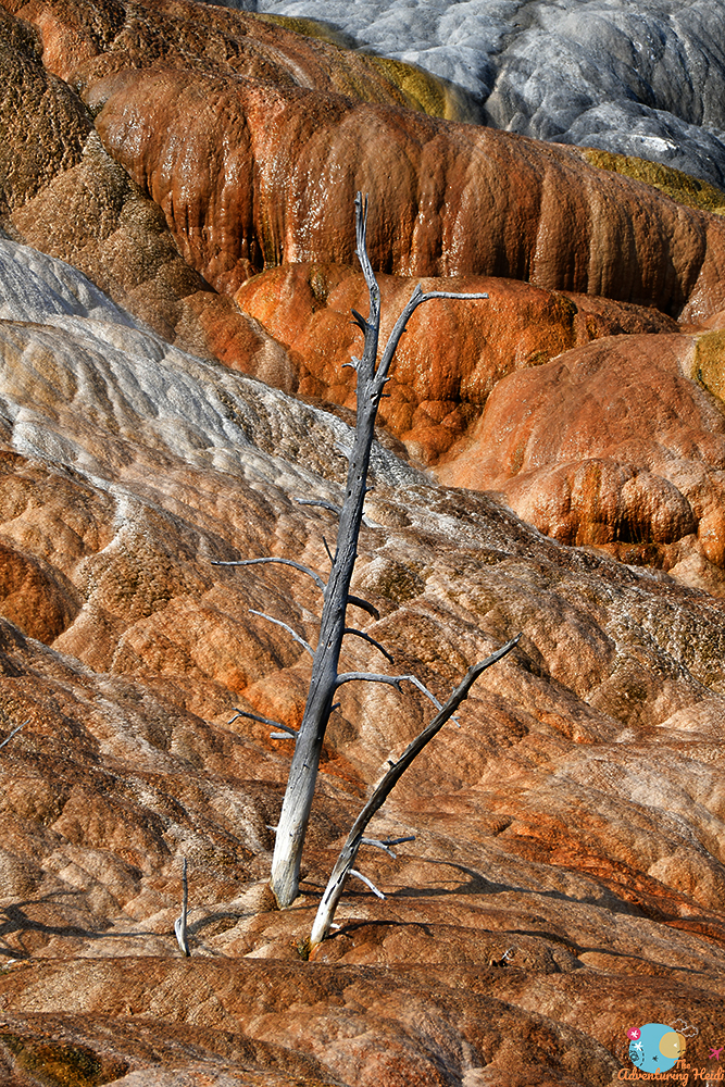
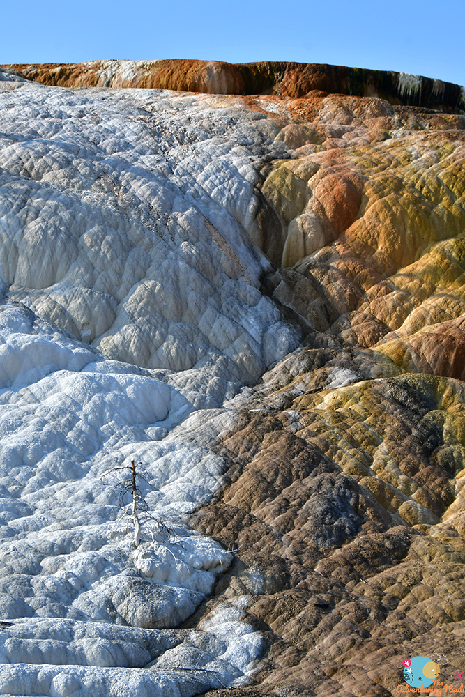
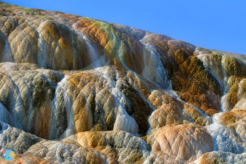
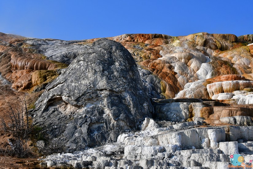
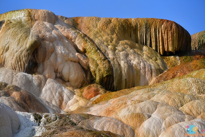
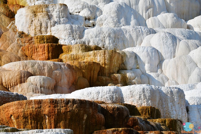
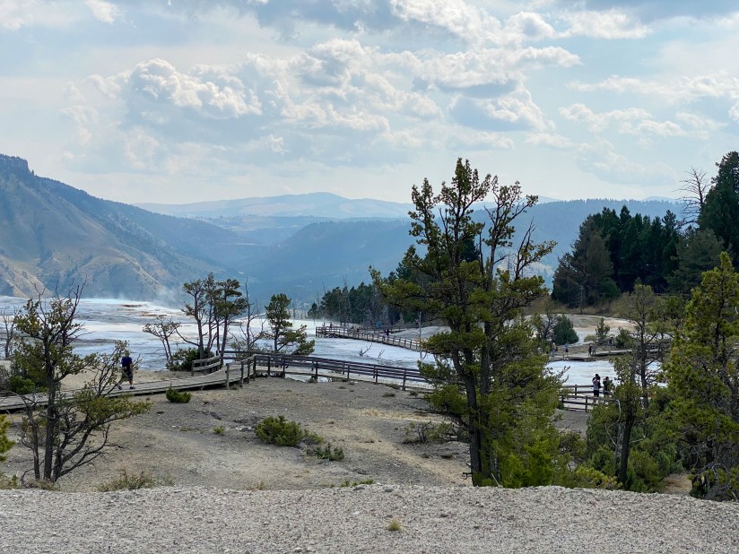
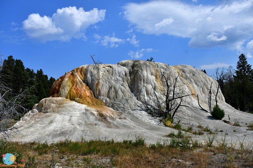
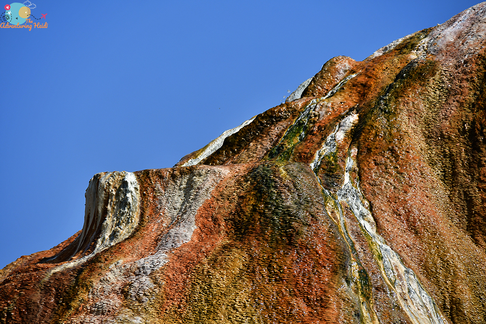
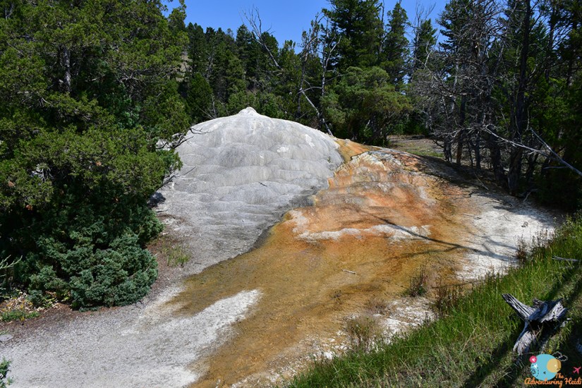
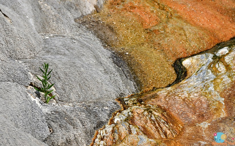
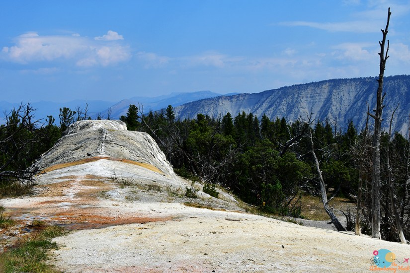
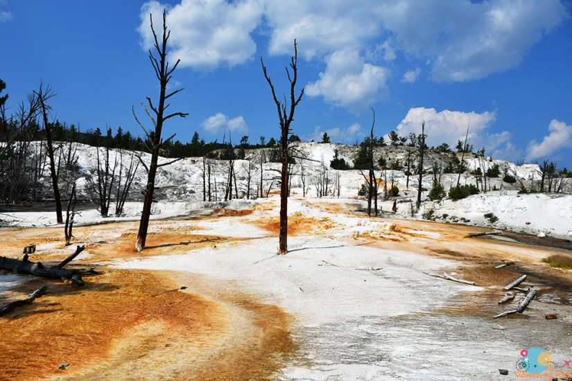
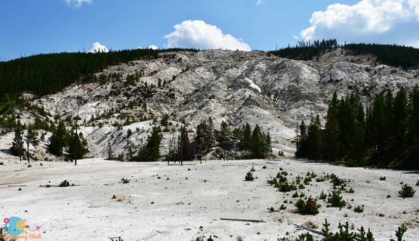
I’m happy I got to Mammoth Hot Springs early, as it meant parking was easy and the boardwalks were not too crowded. Sadly, I think Mammoth was one of the more underwhelming parts of Yellowstone for me, but that could be because I’ve spent a lot of time with the travertine in Thermopolis. It is still very cool, still worth going to… just not my favorite. I still look a million photos, sorry not sorry. Oh hell, okay, Mammoth is super cool. Yellowstone is fantastic, even when I had a not-favorite part, it’s still amazing.
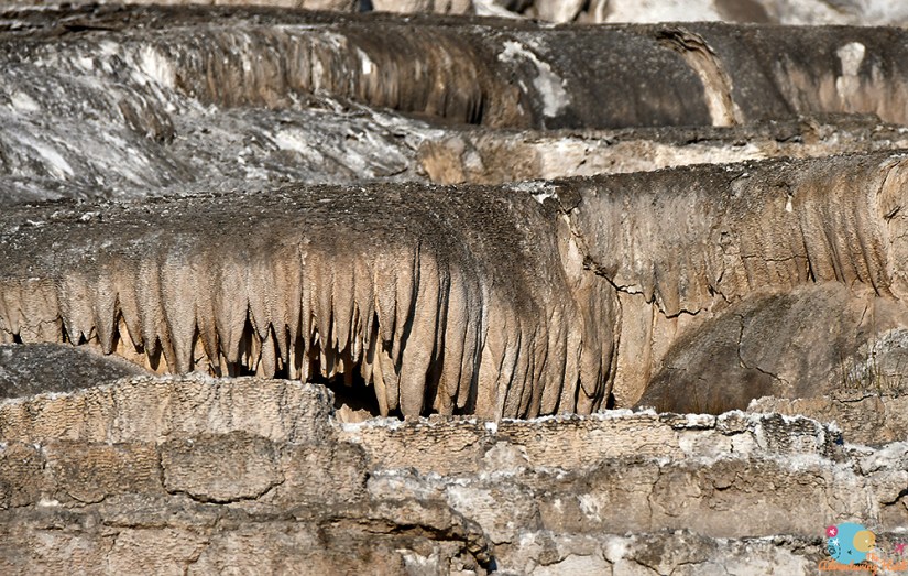
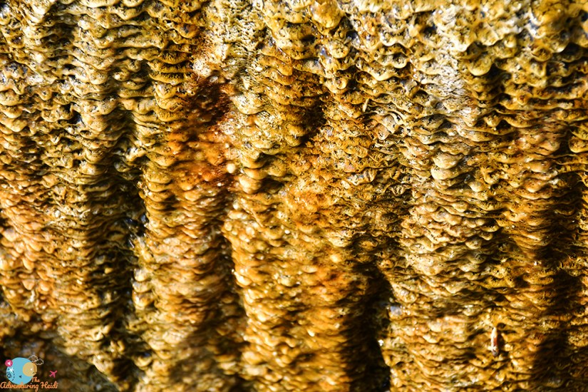
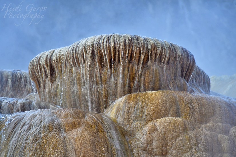
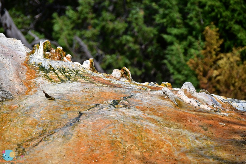
Mammoth Hot Springs has been forming for thousands of years, and like much of Yellowstone, is always changing. Travertine forms from mineral springs that are saturated with dissolved calcium carbonate. As the mineral water rises up and out of the ground, it deposits the calcium carbonate as limestone travertine. I read that travertine builds up “fast” in geology terms, something like 8 inches a year!
Car parked, snack grabbed, and off I went to explore the Lower Terrace. (Don’t forget to grab the trail guide for $1!)
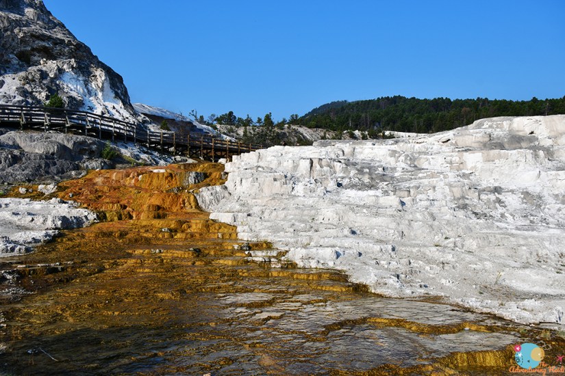
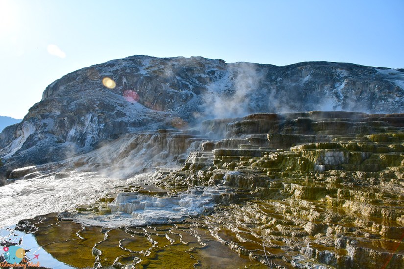
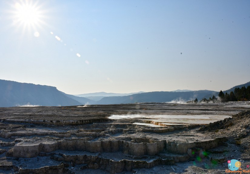
I had parked pretty far up, so I decided to move my car closer to the lowest bits of the Lower Terraces, snagging one of the last spots in the lot (the crowds come fast once they come).

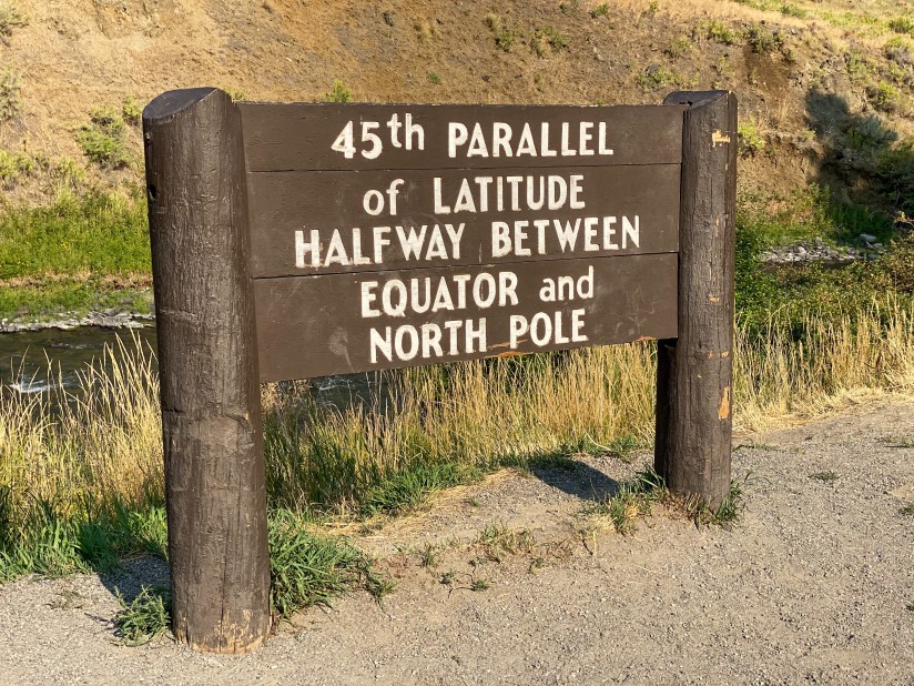
The Lower Terraces of Mammoth Hot Springs wrapped up, I decided to journey north to the 45th Parallel, which marks the halfway point between the Equator and North Pole. On the way there I had to drive by the closed Boiling River, which made me so sad. I discussed this in earlier blogs, but I still didn’t find it logical Boiling River and Firehole River were closed, but you could otherwise shove a ton of tourists close together in other locations. I debated going to the park entrance/exit to see the Roosevelt Arch, but that would’ve meant getting in line to enter again, so I decided against that idea for this trip
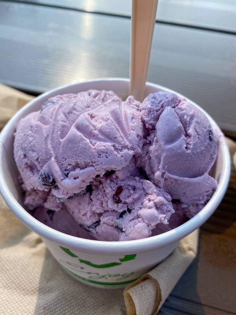
As I came back into Mammoth I decided I wanted some real coffee (my instant camping coffee wasn’t hacking it), so I decided to check out the general store/gift shop. To my utter happiness, they were serving up huckleberry ice cream, so I treated myself to a couple of scoops and a large coffee (and a few souvenir magnets). I also stopped by and grabbed my passport stamp from the park ranger (who passed out pre-stamped pieces of paper).
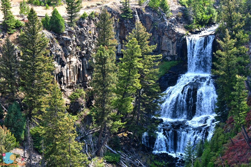
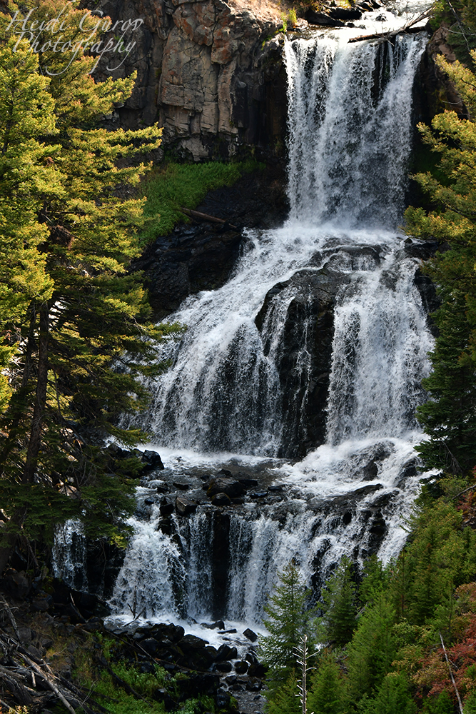
Ice cream and coffee in my system, it was time to head east and chase more waterfalls, the first being Undine Falls. Undine Falls is on Lava Creek, and involves basalt which means two of my favorite things in one place! I spent a decent amount of time here enjoying the falls and the sunshine.
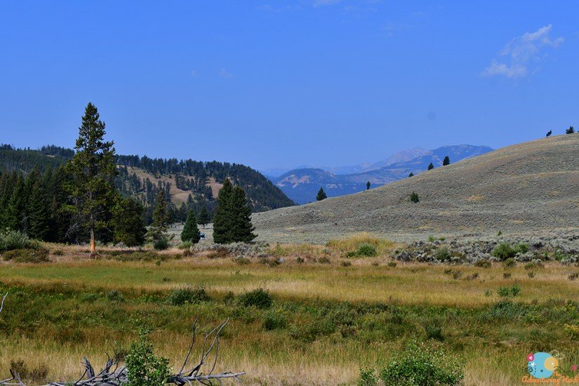
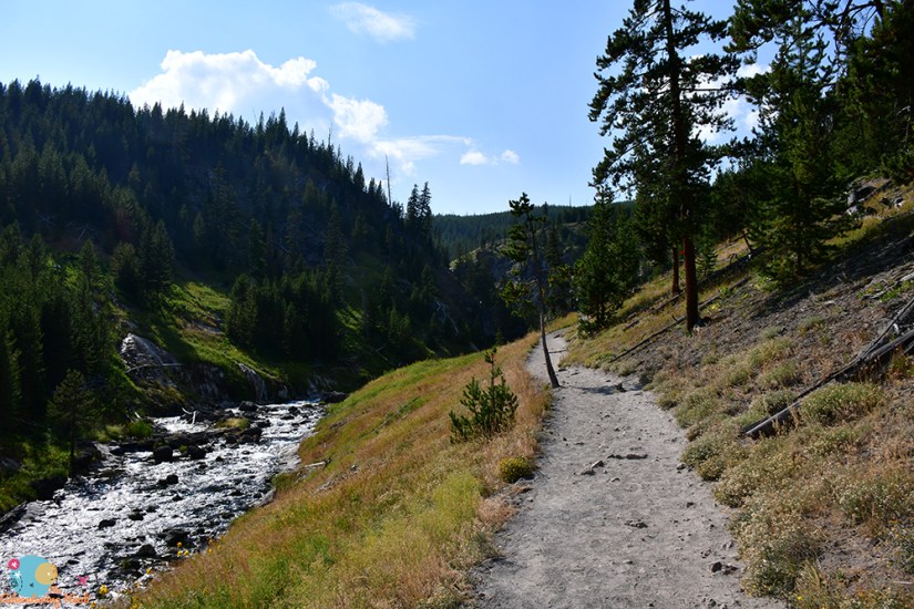
The next waterfall would involve a short 1- mile roundtrip hike from a trailhead right off the highway. I eagerly set out through the gorgeous meadow towards Wraith Falls…
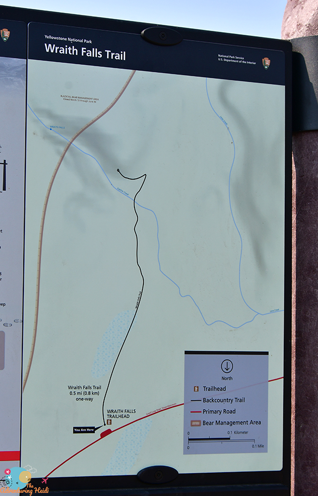
…I never thought I could be disappointed by a waterfall.
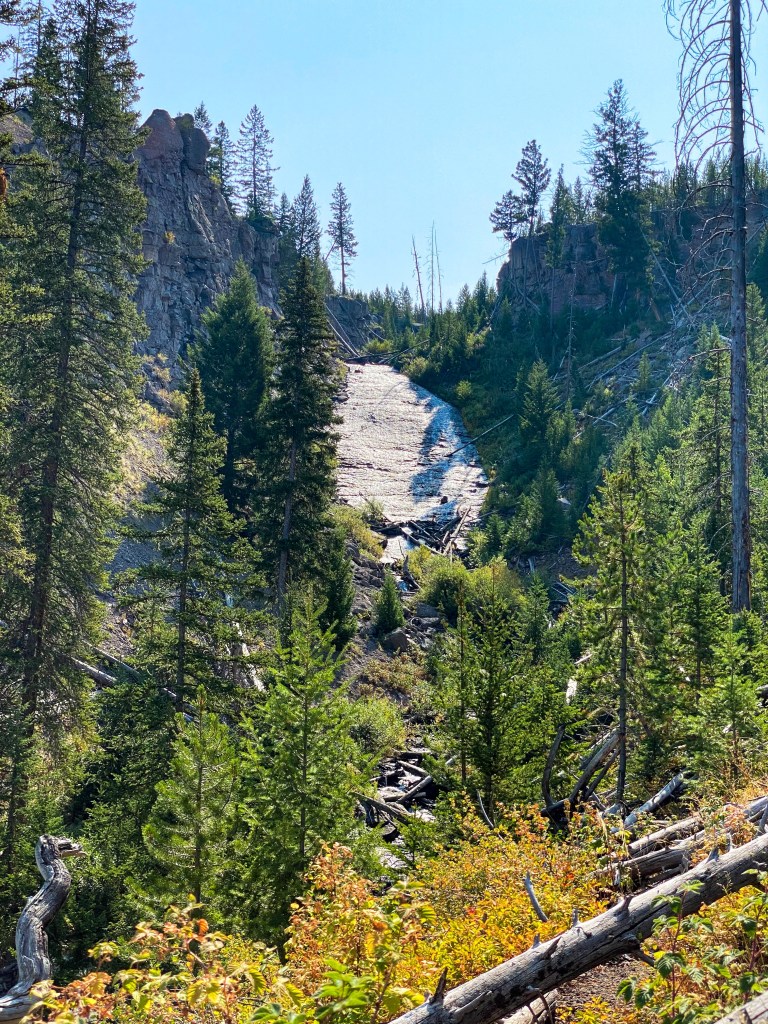
But I was. Maybe Wraith Falls is better in the earlier months when runoff on Lupine Creek is higher, or maybe when the sun isn’t ill positioned, but I almost laughed at how underwhelming it was when I arrived. At least there were a few raspberries for me to eat!
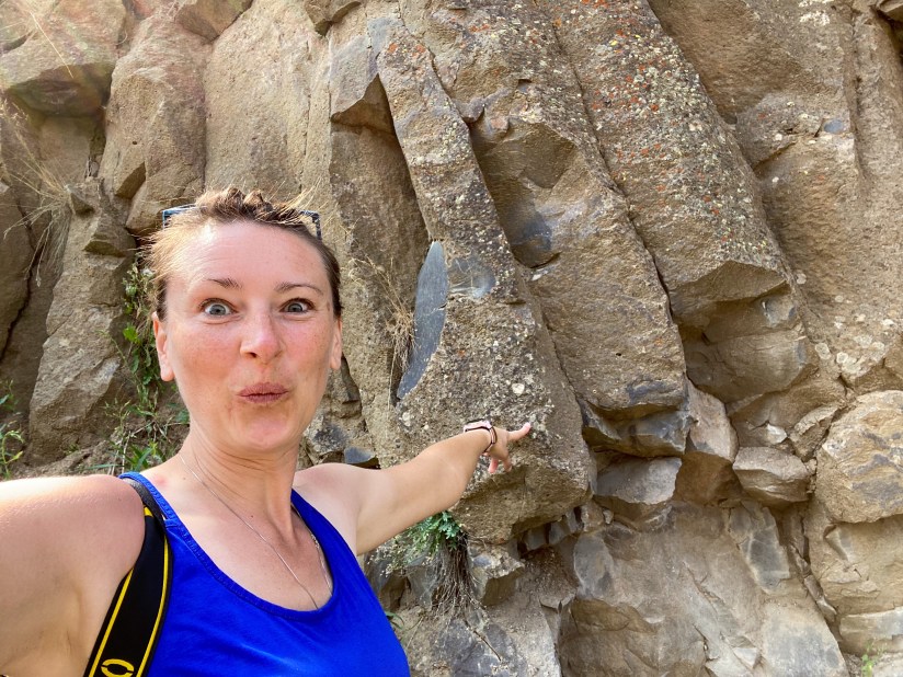
Done with Wraith Falls (quite the quick adventure…), I set back to Mammoth, braking suddenly for basalt on the side of the road!
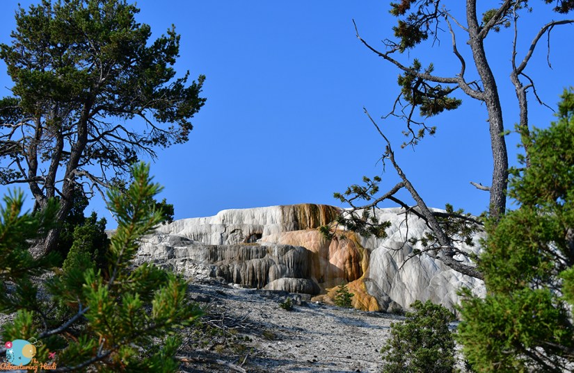
It was time to head back towards Madison, but not before swinging through the Upper Terrace Drive, a one-way route that tours through Upper Terraces. The first little bit was an absolute zoo, but traffic thinned considerably shortly in and I had other features to myself. Funny how that works!
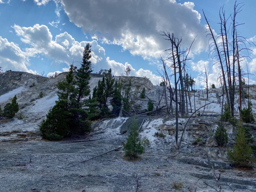
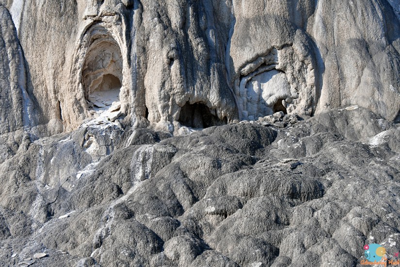
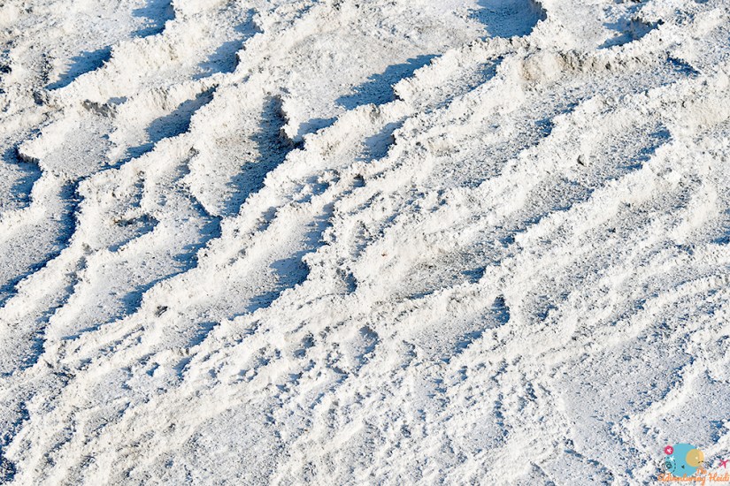
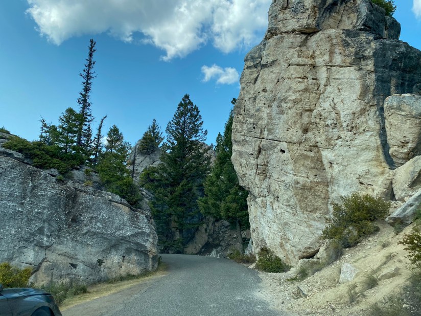
Heading back south, I took the super short one-way road through the Hoodoos, an area with massive 60,000 year old travertine blocks that tumbled off of Terrace Mountain sometime after the last glaciation. These are not proper hoodoos, but still a fantastic area nonetheless.

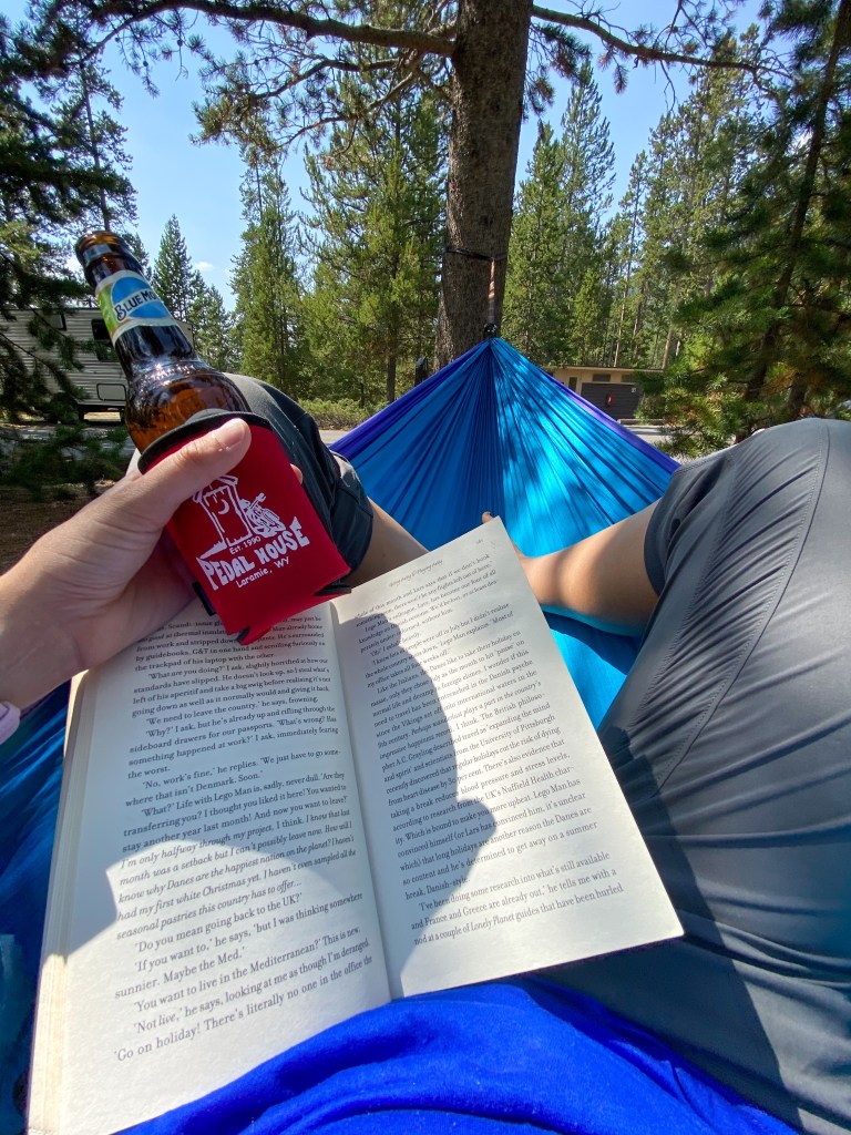
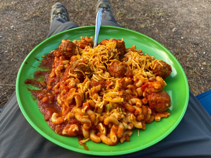
I arrived back to my campsite at Madison Campground in early afternoon (about 1:30), and took to making myself lunch, and relaxing a bit in my hammock. My dear hammock… which earned me a “naughty note” from the rangers as I had left it up all day unattended. Whoops! When I first saw the note I was worried I had done something wrong with bear precautions or accidentally left something in my tent, but nope, it was my hammock. Lesson learned!
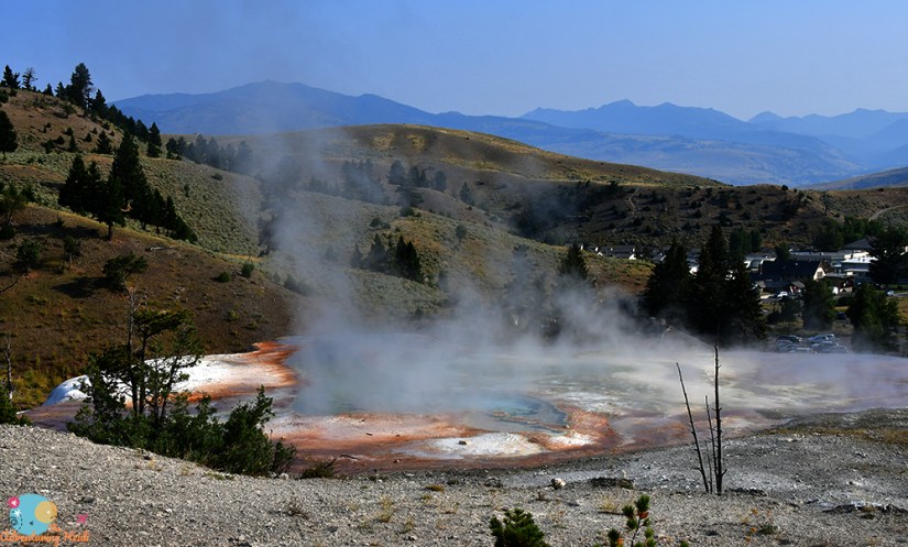
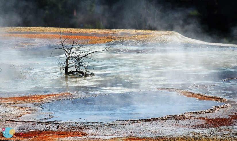
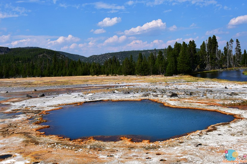
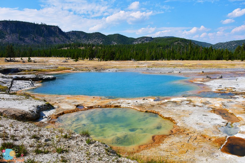
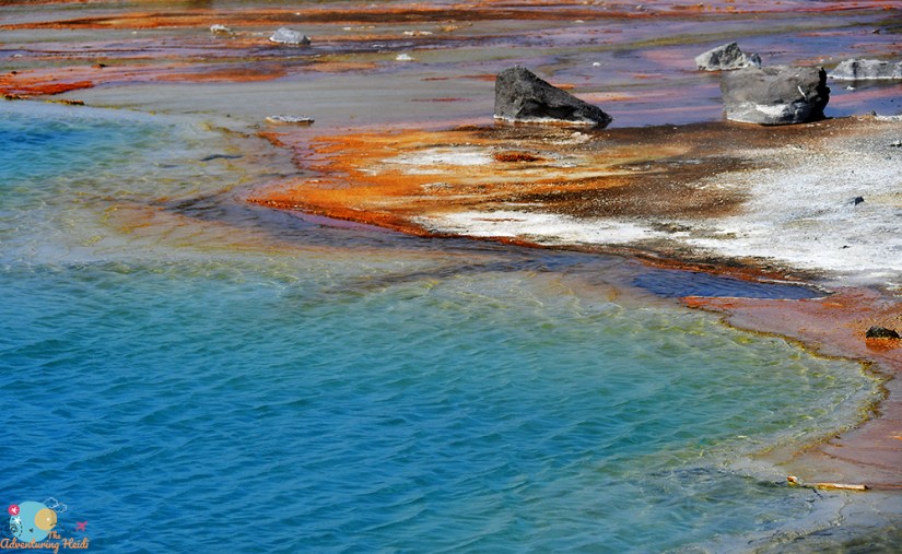
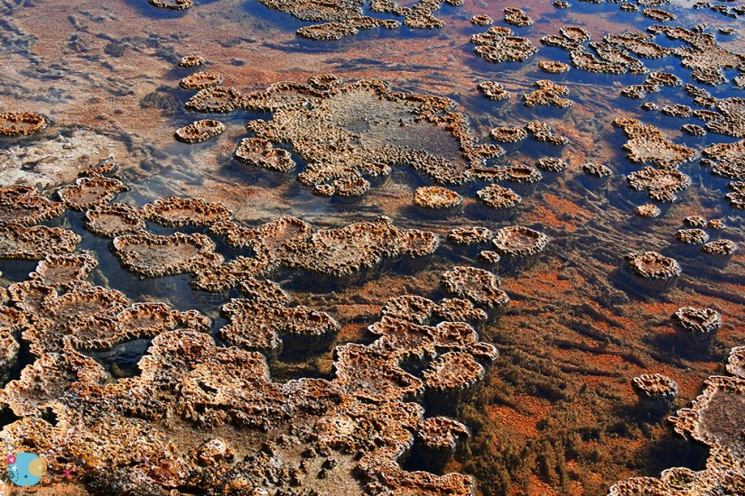
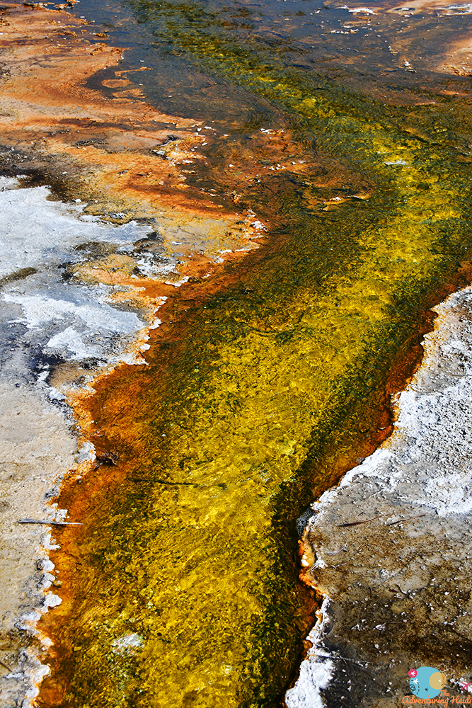
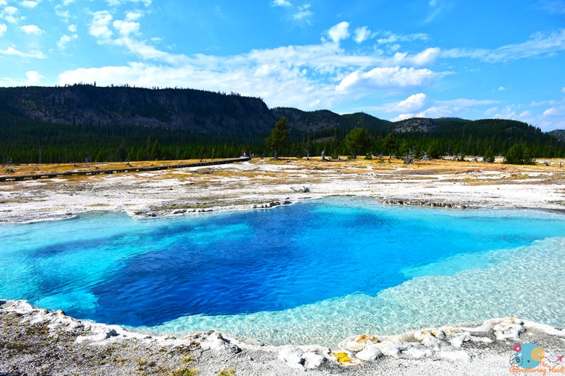
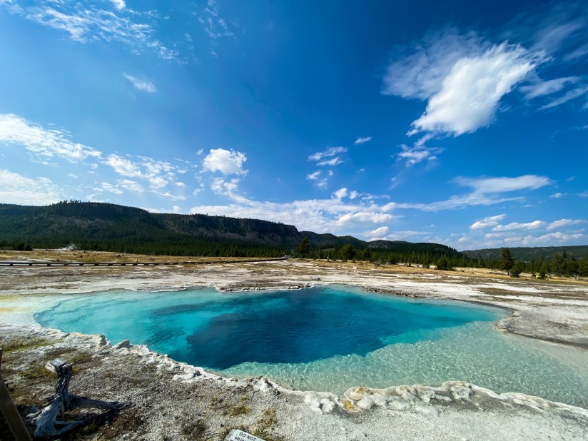
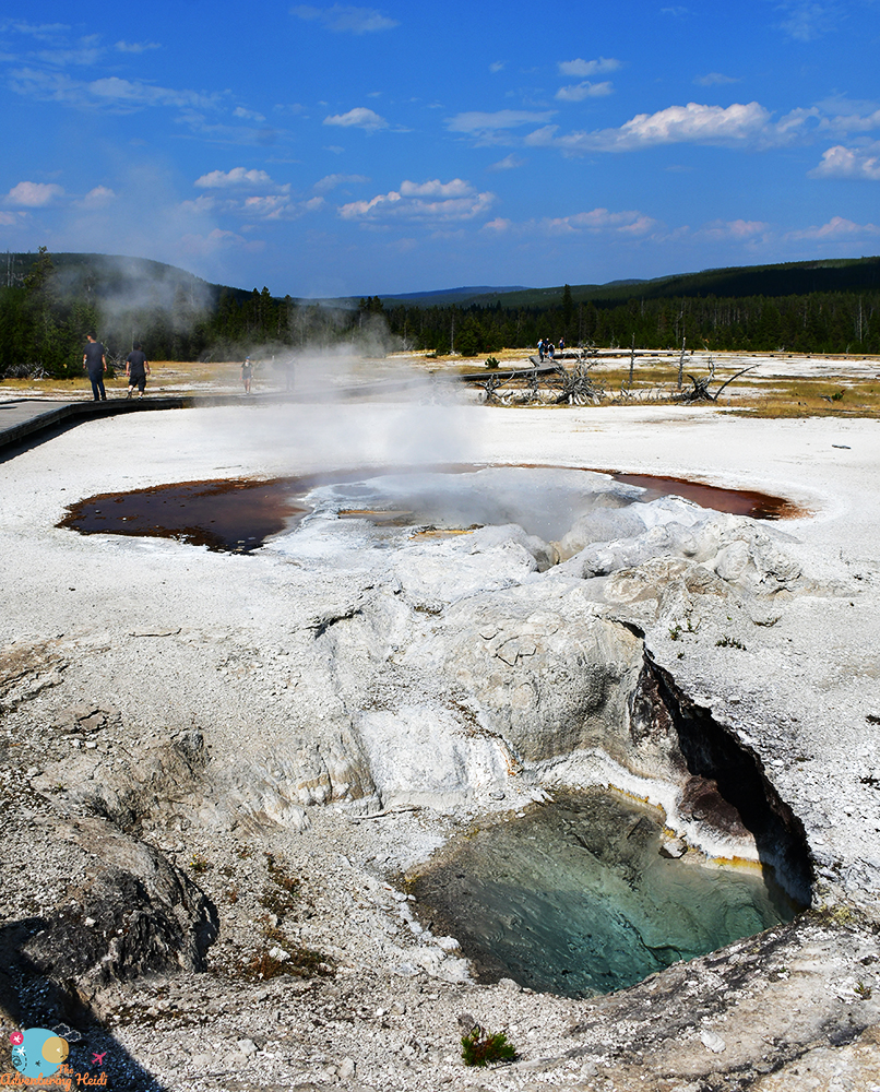
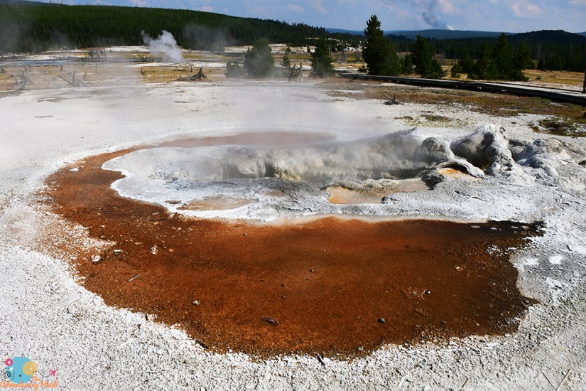
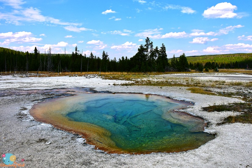
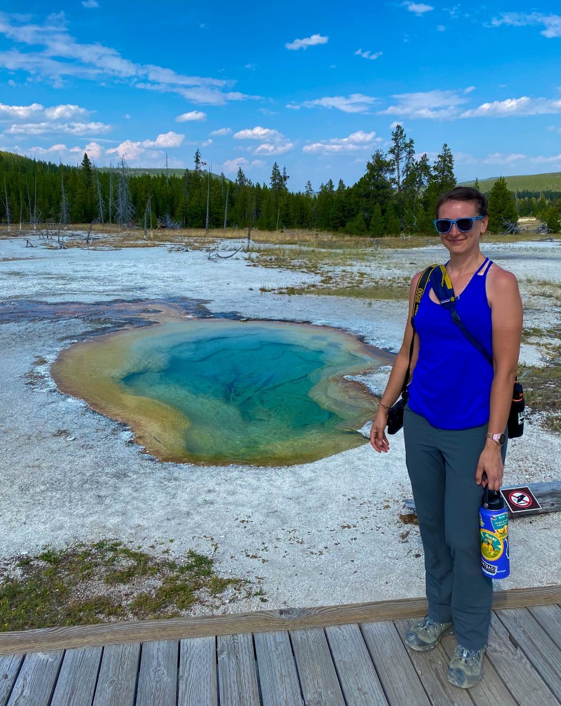
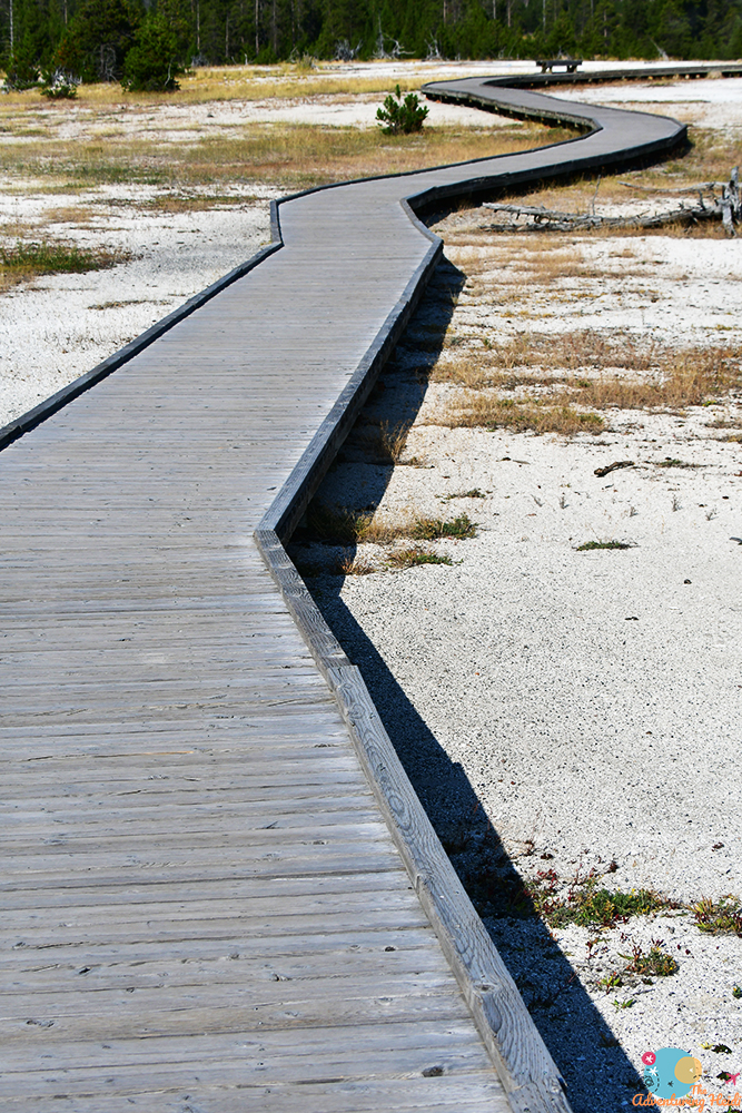
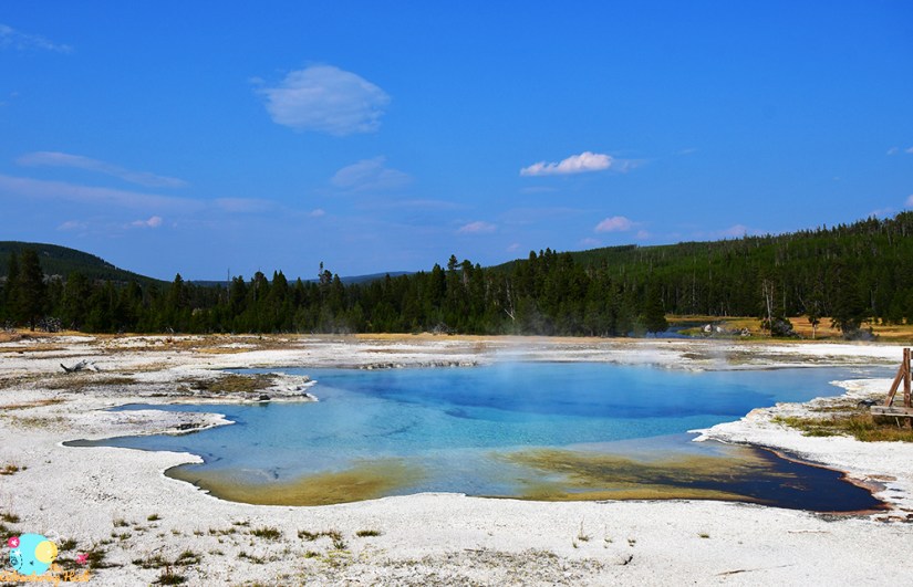
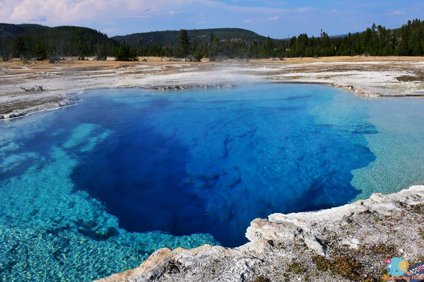
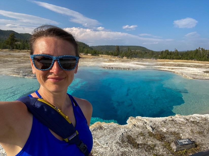
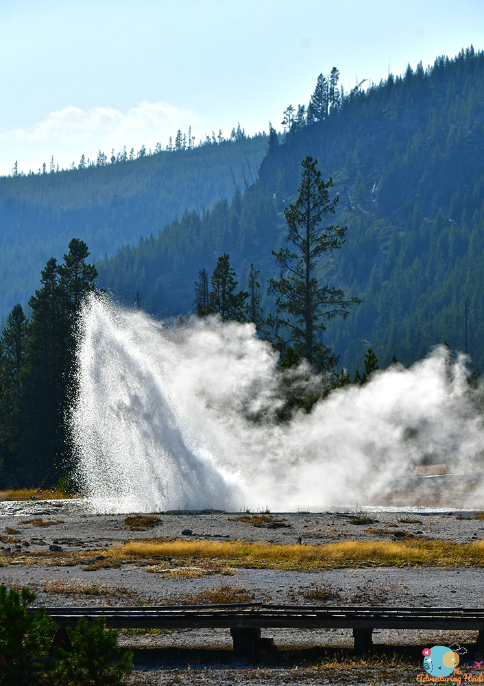
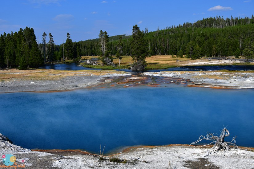
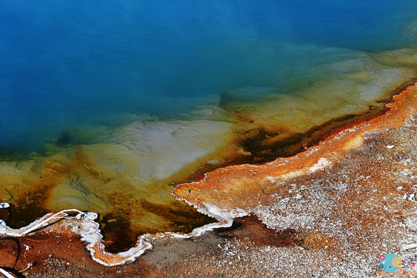
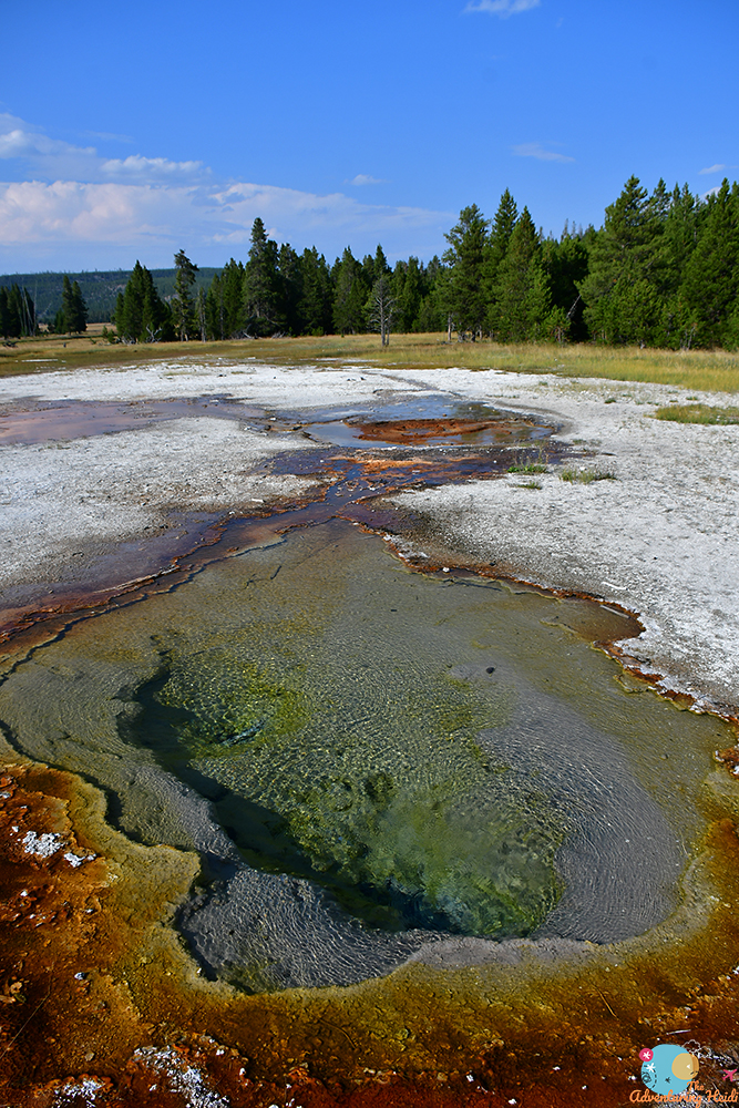
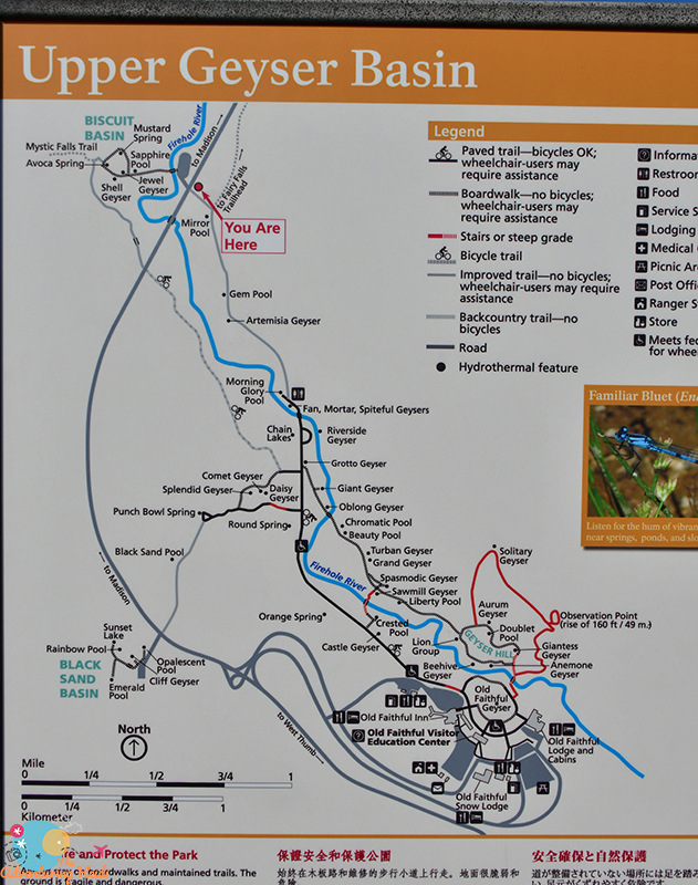
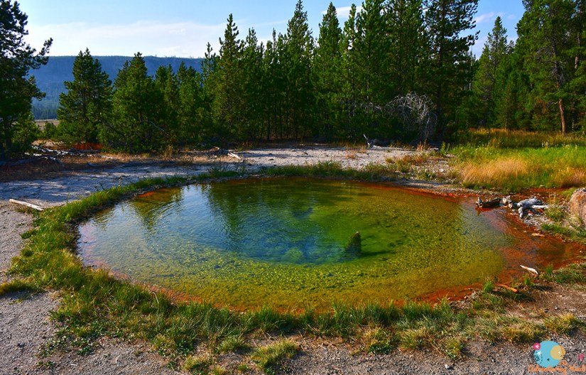
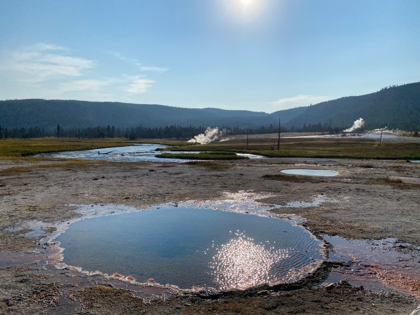
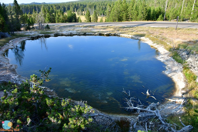
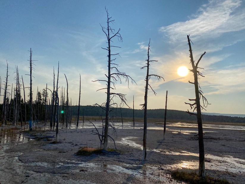
Late afternoon I decided to head down to Biscuit Basin to hike to Mystic Falls, which I had planned for the following day before I realized how crowded my itinerary was. I had plenty of daylight left, so time for some geysers and my fourth waterfall of the day! Biscuit Basin is about three miles north of Old Faithful and is part of the Upper Geyser Basin. It was named as such because Sapphire Pool use to be surrounded by deposits that looked like biscuits.
Interesting side note, a family was swimming in the Firehole River at Biscuit Basin when I arrived… ummm, what???? Tourons…
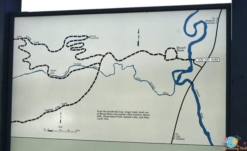
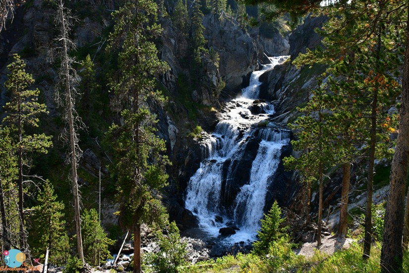
I turned off the boardwalk and headed towards Mystic Falls. There’s two options – a 2.5 mile out and back and a 4 mile loop. I opted for the out and back, skipping the overlook, since I was still nursing some sore legs and blistered toes. The well-signed trail follows the Little Firehole River through new growth forests that were burned in 1988.
Okay, I have a new waterfall for my favorites list! Mystic Falls is just magical (and even geothermal)!! The sun was not in an ideal location for photos, so I imagine the morning hours are better, but whatever… wonderful waterfall! I scrambled down the steep bank to a rock on the side of the river and just sat back and enjoyed the view. Even better, I was nearly alone the entire time (thank you late afternoon thin crowds).
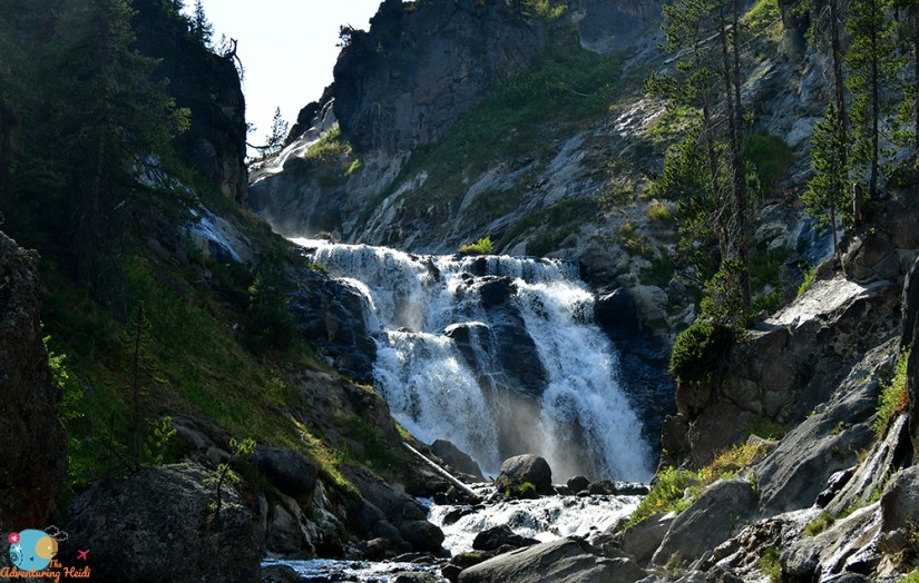
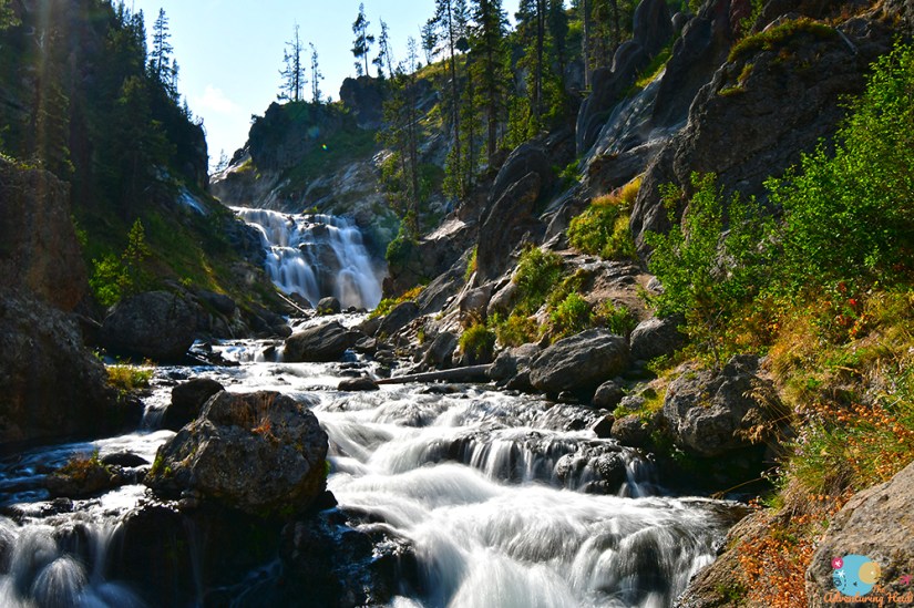
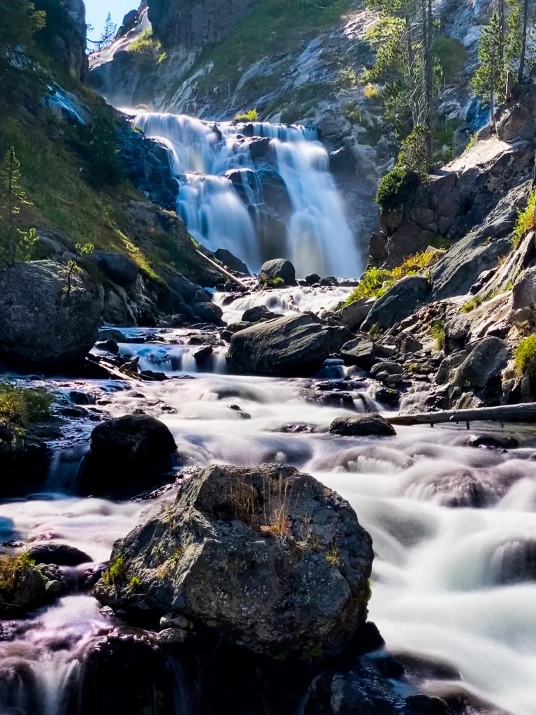
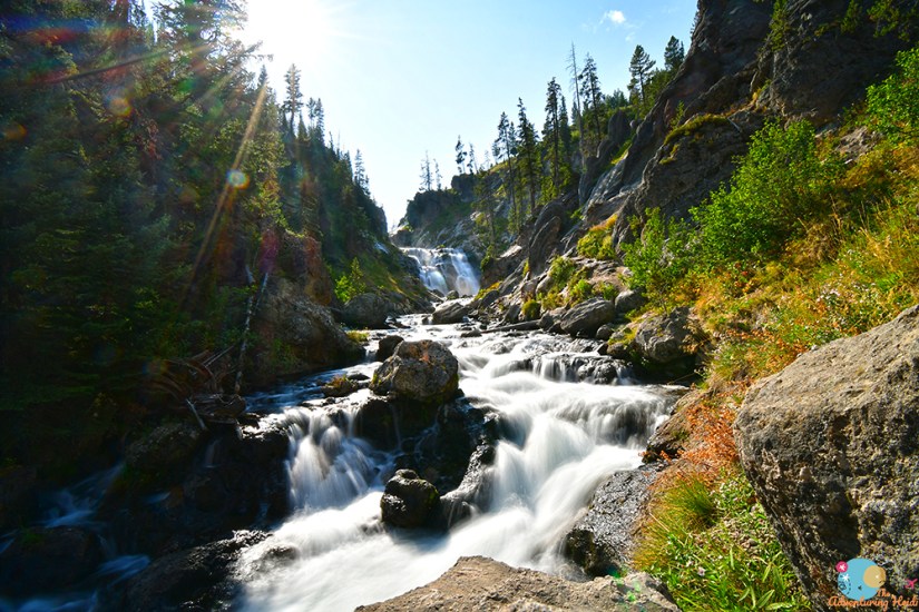
I don’t know how long I sat there, but it was a long time. Before heading back, I decided to hike a bit further up on the trail, which gave me a different, and more complete look at the multitiered falls. I was also able to see the steaming hydrothermal features on the banks of the falls a bit better, too.
Back to Biscuit Basin I headed, finishing the boardwalk loop and then heading across the highway to explore the trail to Artemisia Geyser. This trail actually goes all the way to Old Faithful, and if I had the legs in me, I think I would’ve at least explored Morning Glory Pool and Riverside Geyser, but alas, the legs were tired and I still wanted to get to Fountain Paint Pots before calling it a night.

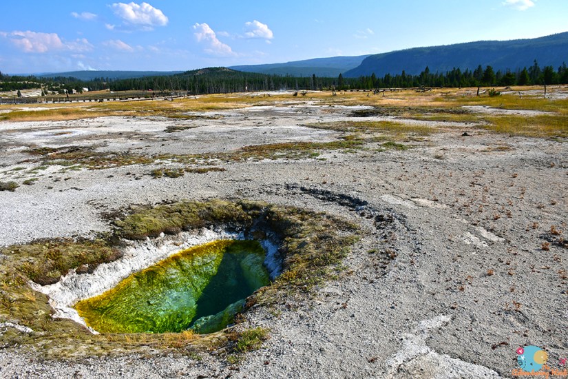
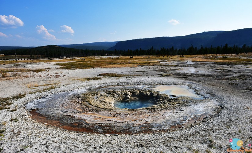
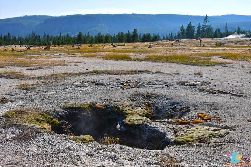
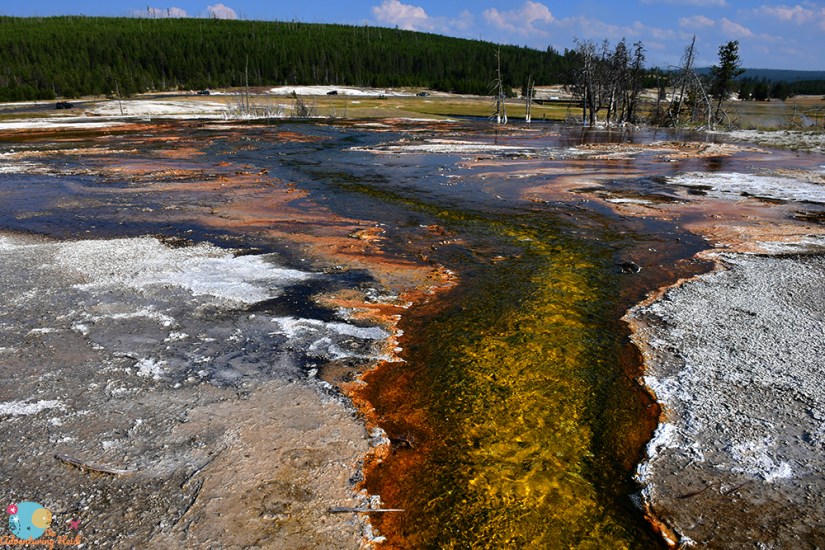
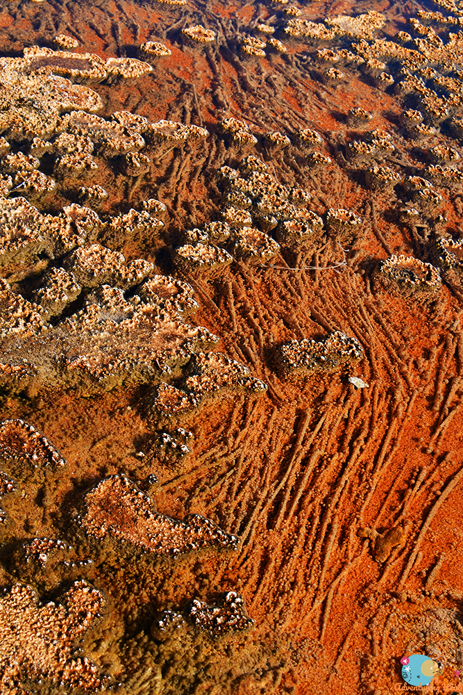
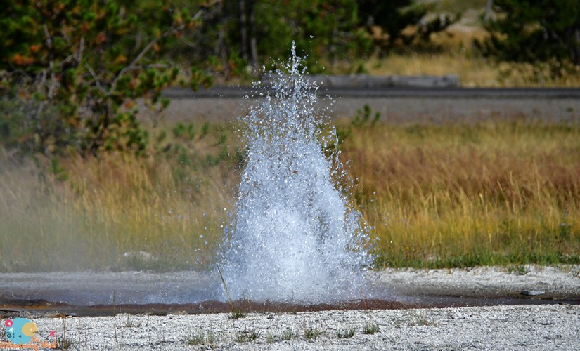
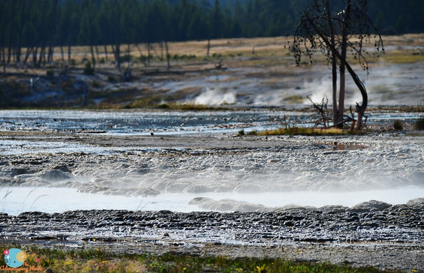
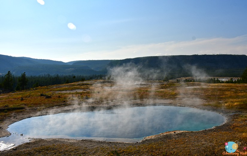
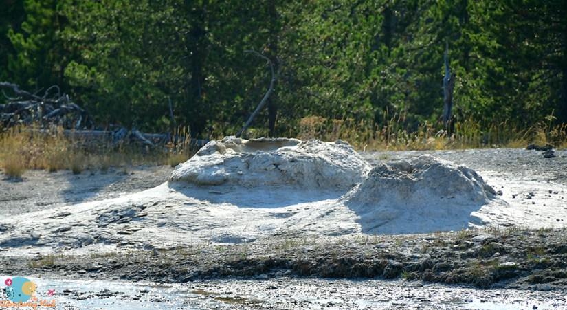
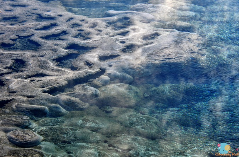
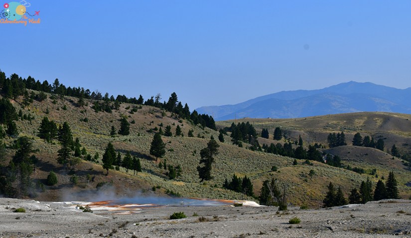
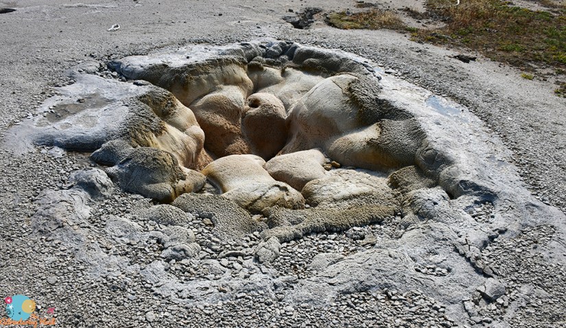
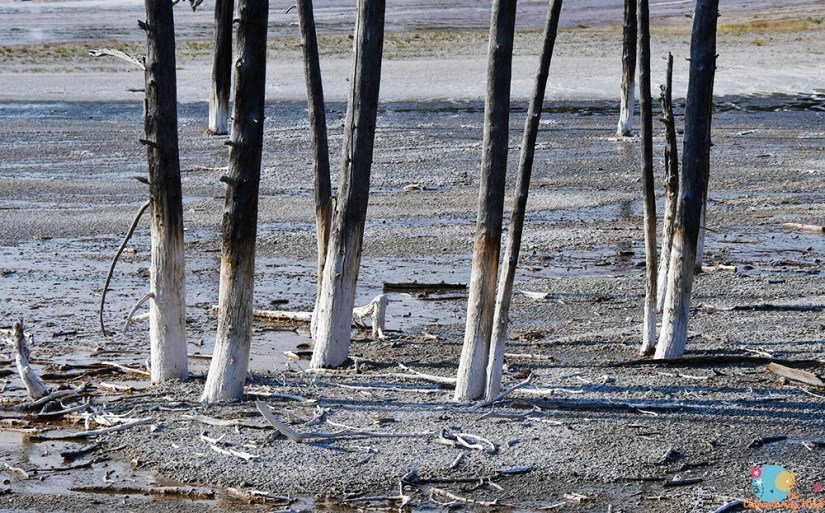
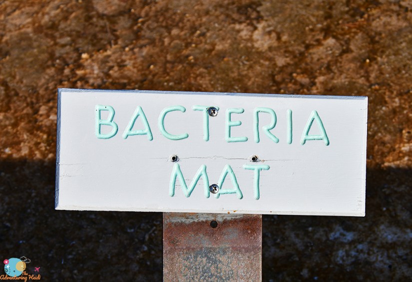
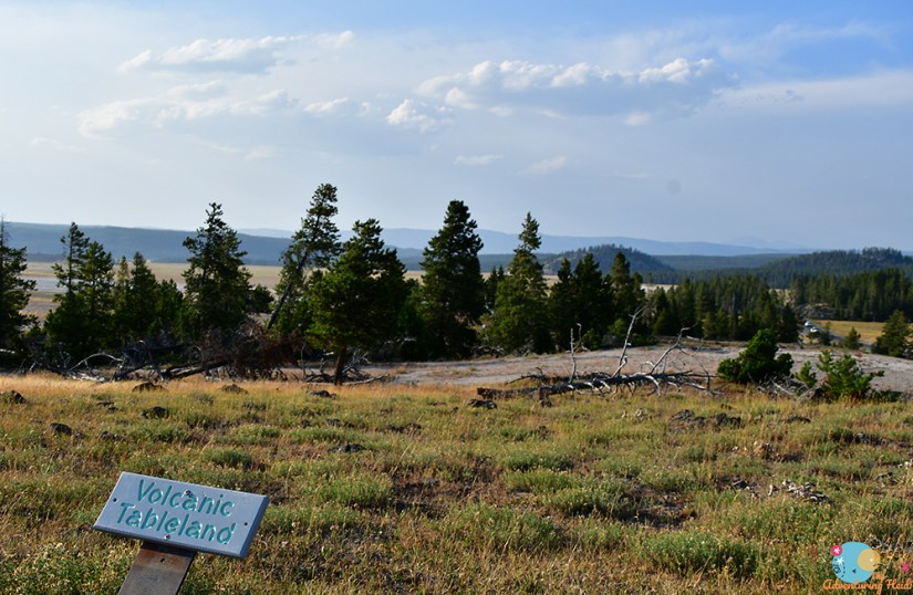
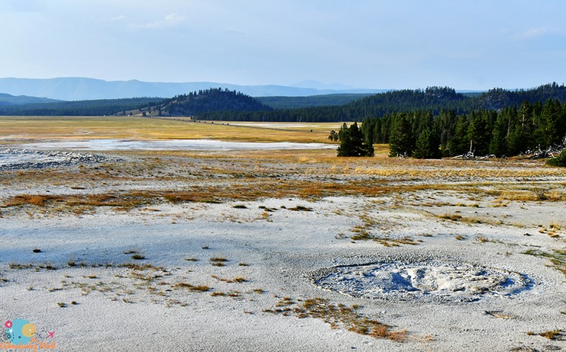
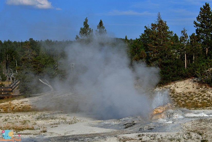
One more stop to round out my day – the Lower Geyser Basin and Fountain Paint Pot. For the science geeks out there, let’s take a moment to celebrate the Lower Geyser Basin, as this is where Thermus aquaticus was discovered, and if you know, you know what that means for DNA laboratory processes.
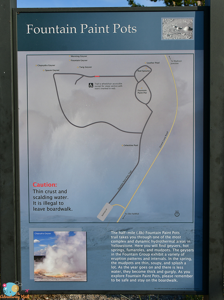
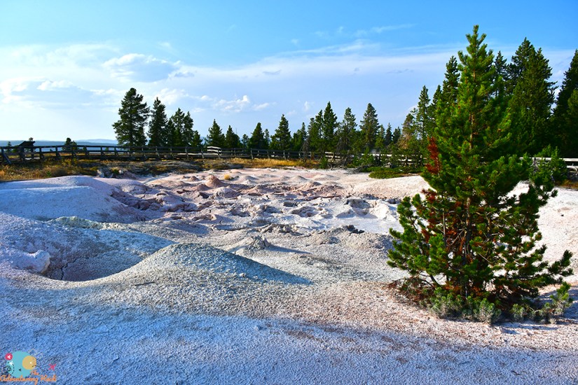
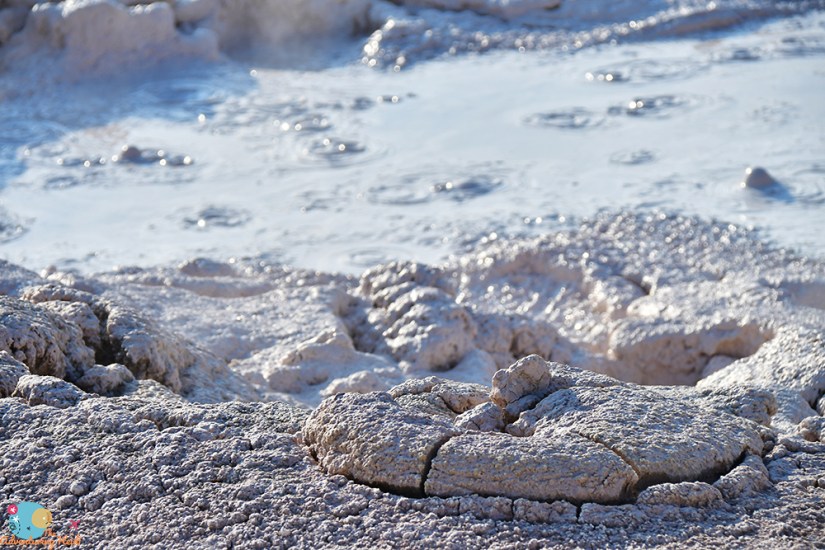
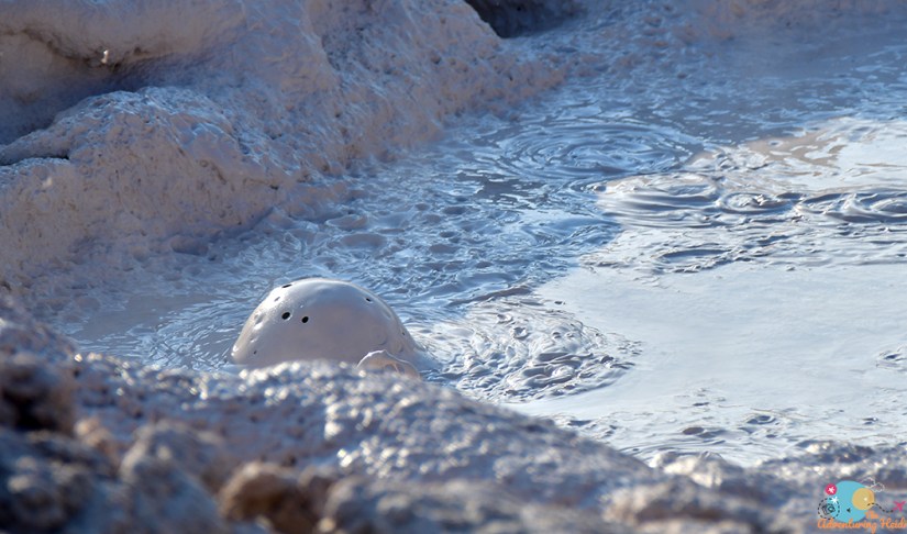
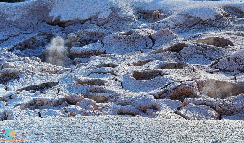
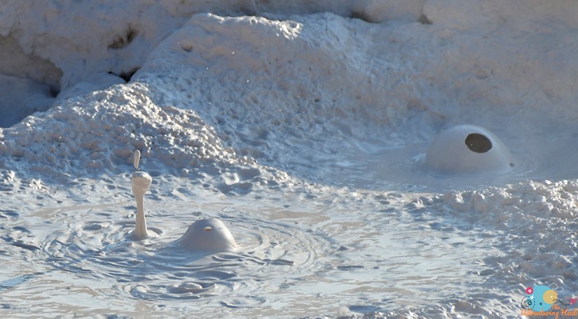
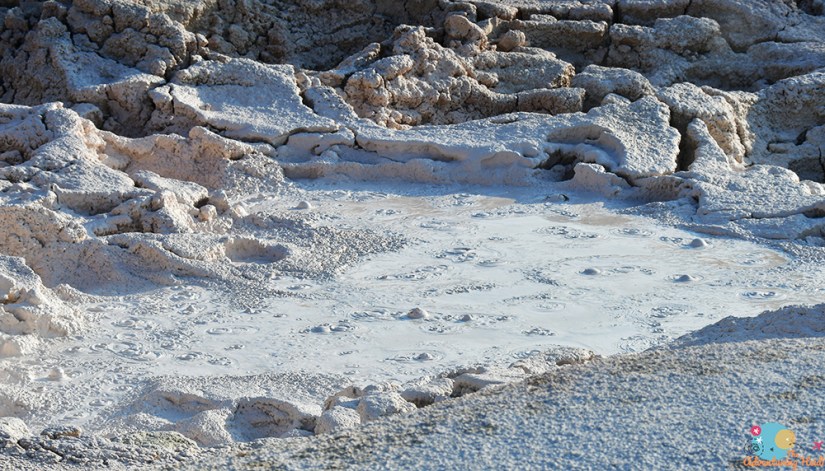
Oh man bubbling mud makes me so happy!!
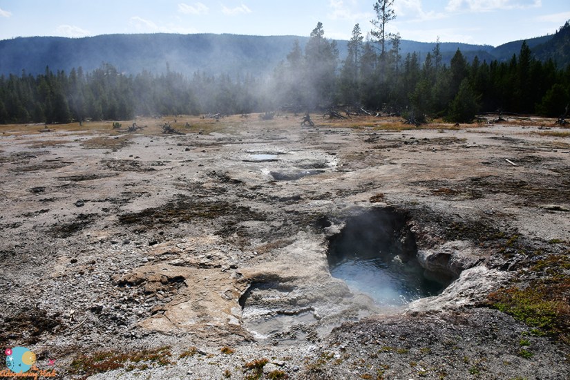
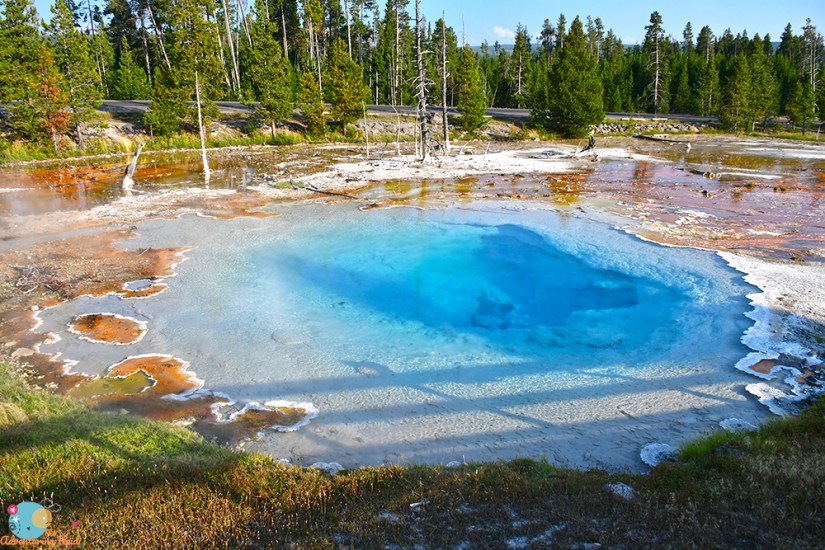
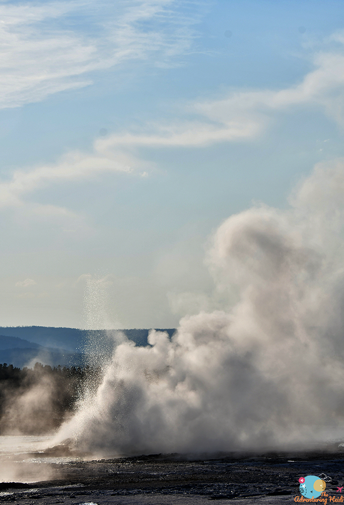
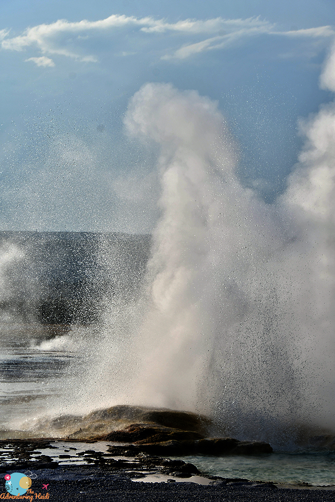
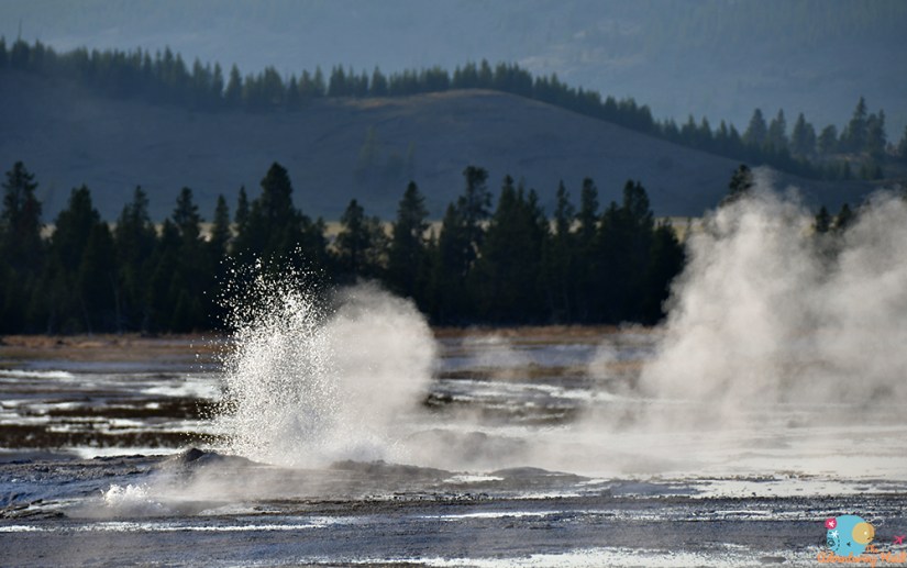
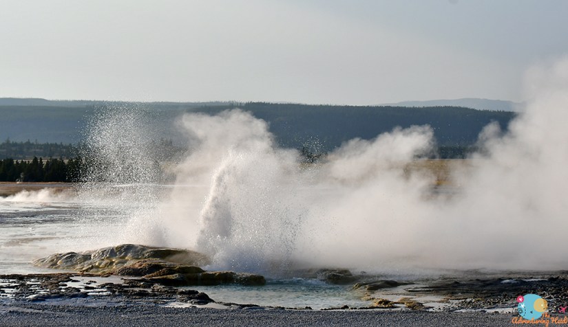
Fountain Paint Pot isn’t all about bubbling mud, and there are several active geysers in the northwest area of the boardwalk. Fountain Geyser is the namesake, but it didn’t erupted while I was visited (I was hopeful since Jet Geyser sometimes erupts before Fountain, and I saw Jet… but alas, no luck for me).
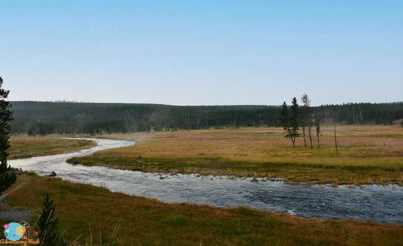
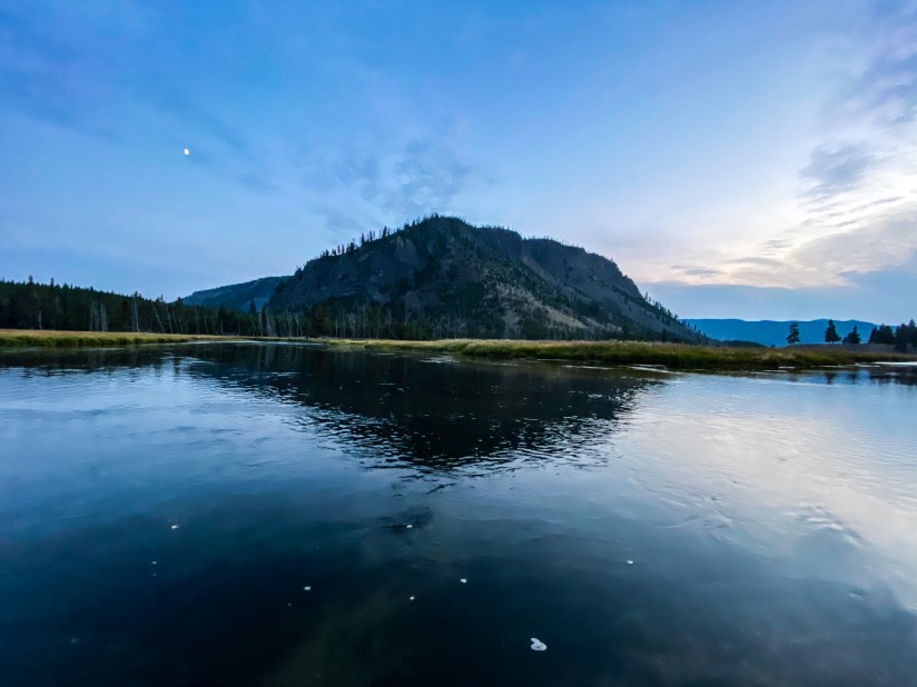
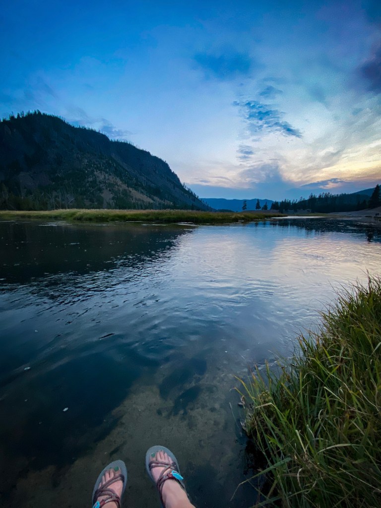
A long day of exploring done, finally it was time to return to my campsite, cook up some dinner, and relax. I did take a small walk down to the Madison River before it got too dark, and then was out asleep quickly in my tent.


Leave a comment