
May 1, 2026
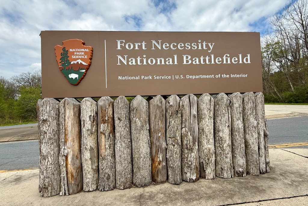
After wrapping up Cucumber Falls (this is a continuation of a very busy day of exploring, and I split the day into two separate blogs – this blog is covering the afternoon activities), I set out on the fifteen minute drive to my 98th National Park Service unit, Fort Necessity National Battlefield.
The NPS is great, because there is something for everyone. Of course, when there is something for everyone, that sometimes means the something isn’t for one personally. My “dislike” is battlefields and general war stuff (especially older than WWII). Many complain about fossil beds (a prevalent type of NPS unit in the western U.S.), which I love… and those same people tend to love battlefields. Funny how that works out! Here’s to the NPS getting me out of my comfort zone once again!
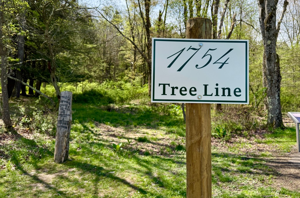
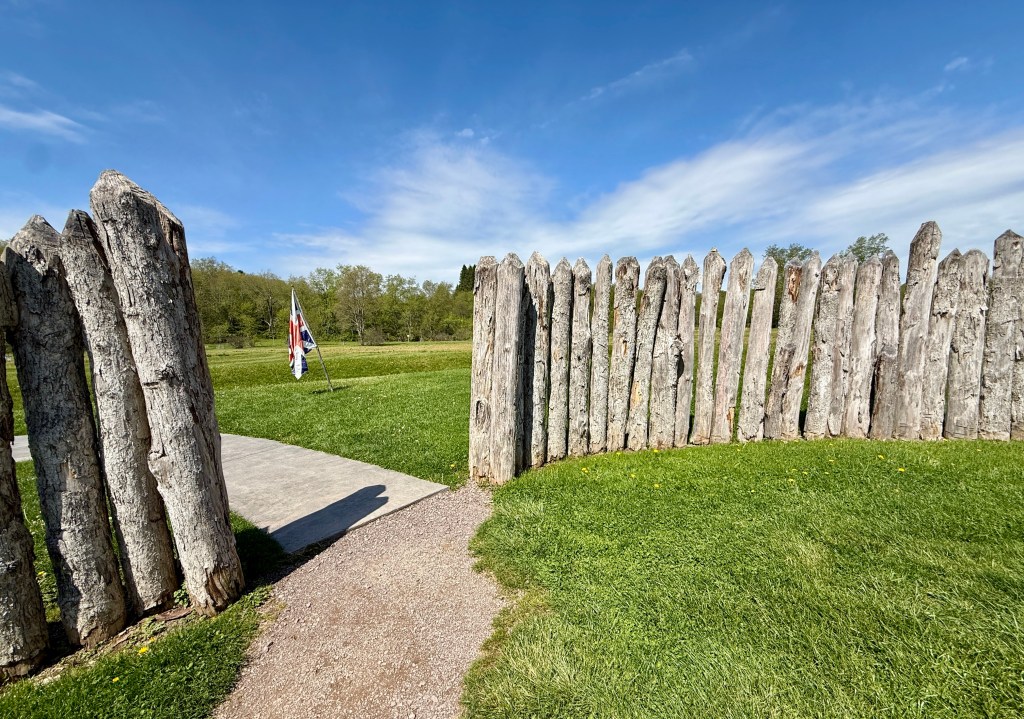
Fort Necessity National Battlefield in Fayette County, Pennsylvania, marks the site of the opening battle of the French & Indian War in 1754. This clash between British, French, and American Indian forces ended French power in North America and set the stage for the American Revolution.
battlefields.org
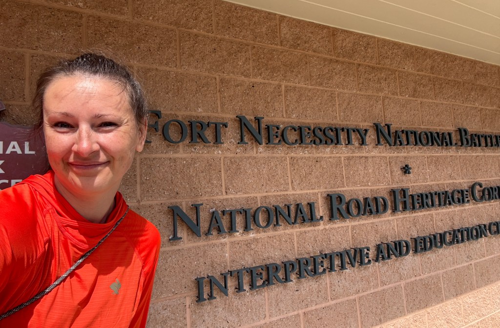
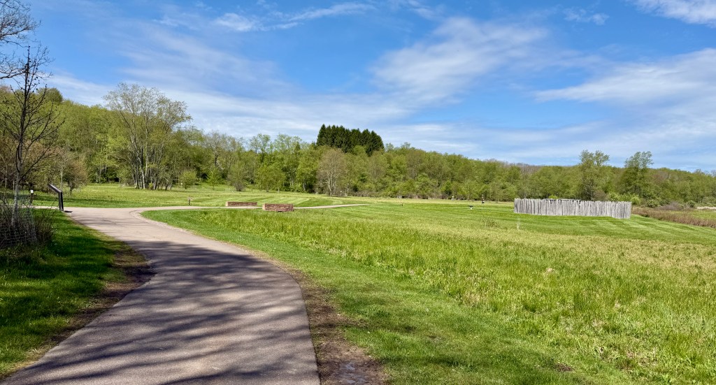
My first stop was the visitor center, where I did my obligatory sourvenir shopping and passport book stamping. Since I would be visiting Friendship Hill next, I also asked for that stamp since the visitor center there is closed on Friday. I asked a few questions about drive time between the two sites, and the ranger gave me some printed instructions since cell service was hit or miss in these parts. Park brochure in hand, I headed out on the short trail to visit the reconstructed fort in the Great Meadow. In retrospect, I probably should have watched the park film that was starting, as I really knew nothing about the place I was at.
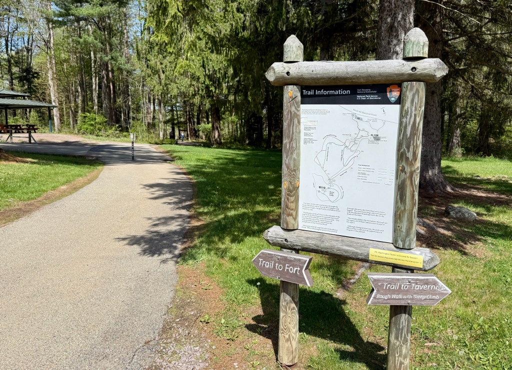
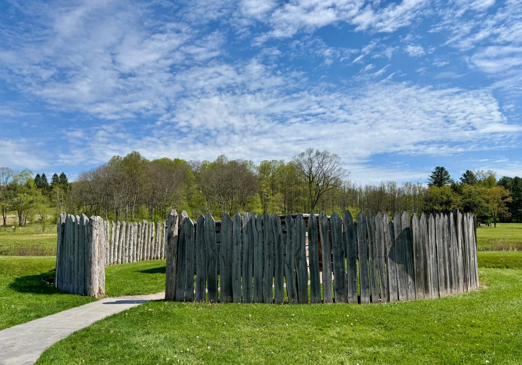
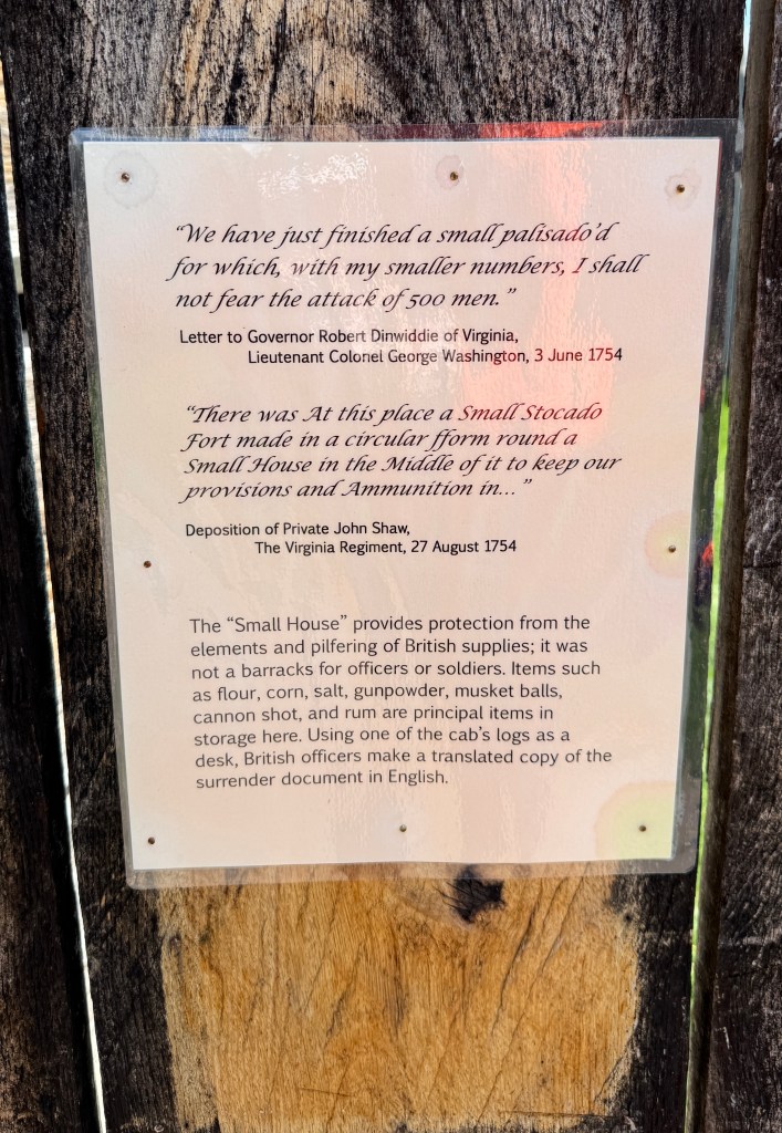
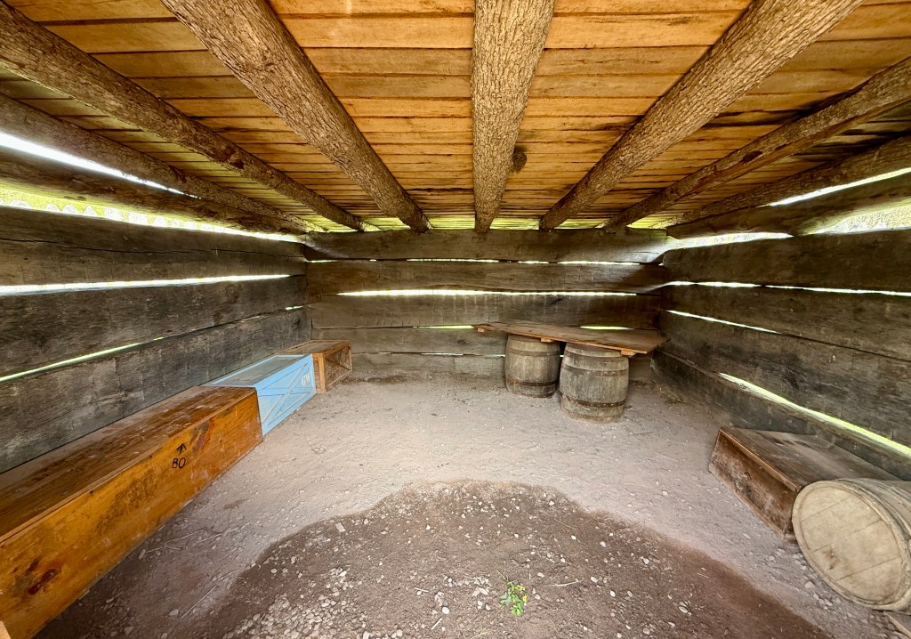
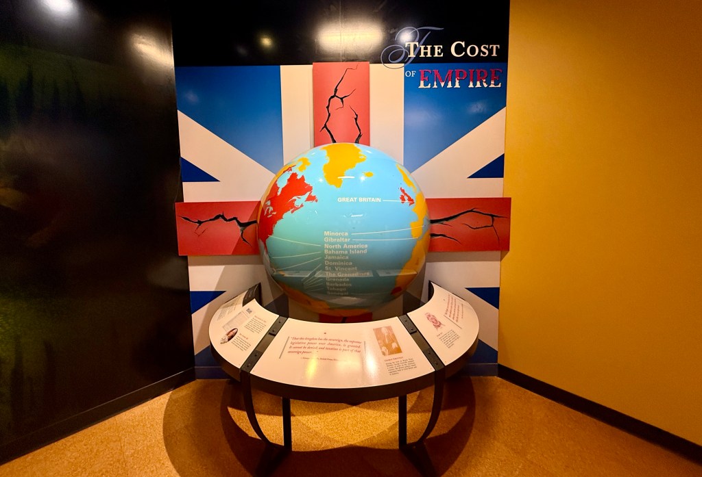
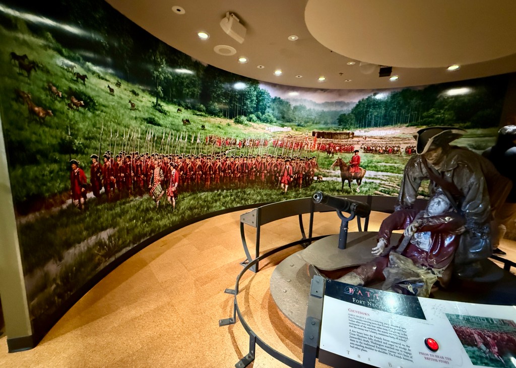
After wandering to the fort, I wandered through the exhibits, though did not really look at them too closely. Was I the dreaded “stamp-and-dash” visitor that the rangers at Fort Necessity and Friendship Hill are notorious for hating (or so I’ve heard among members of my club)? Well, no… I mean, I walked out to the reconstructed fort?!
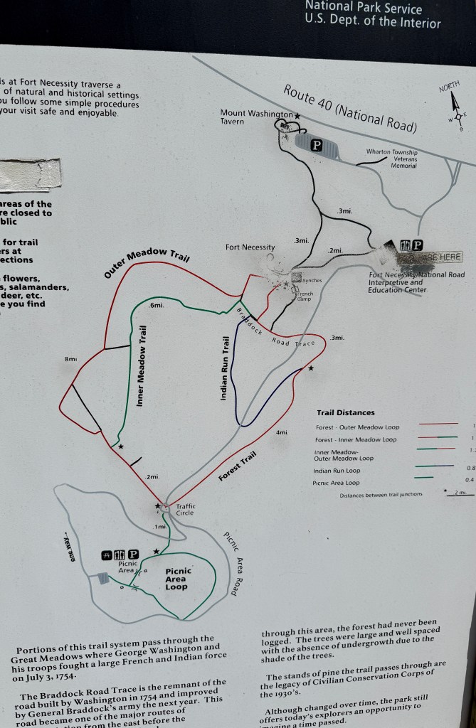
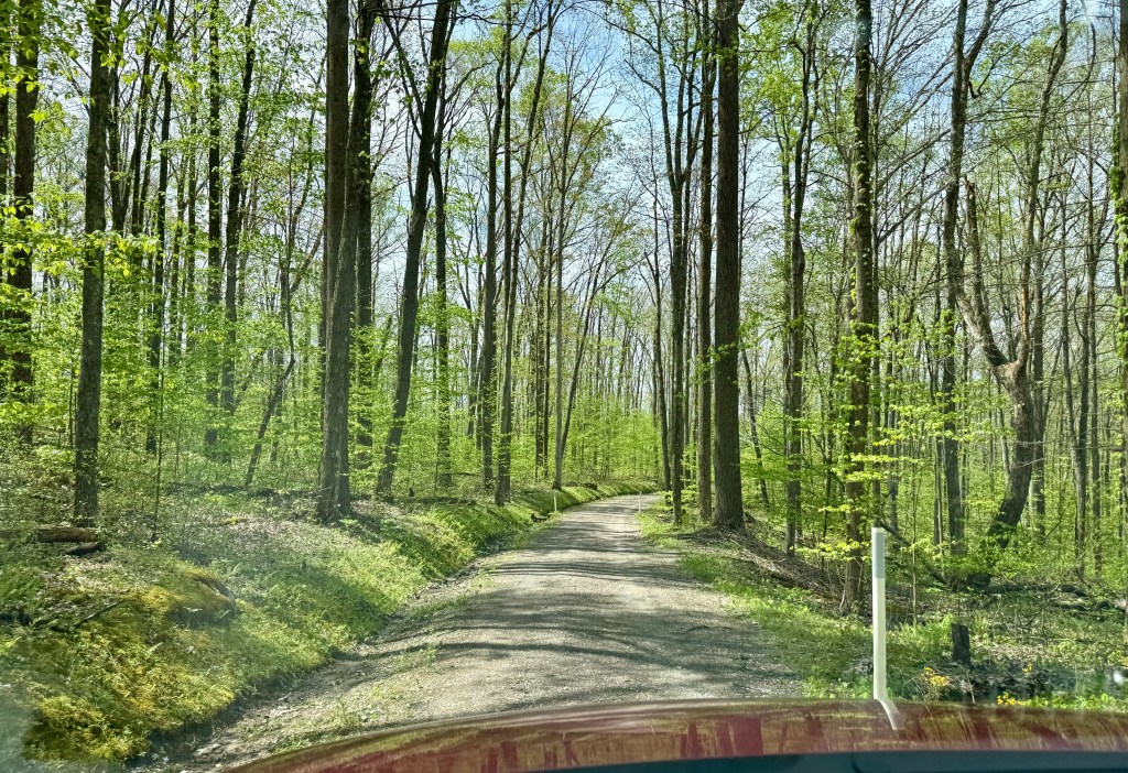
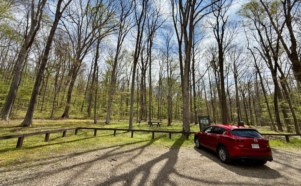
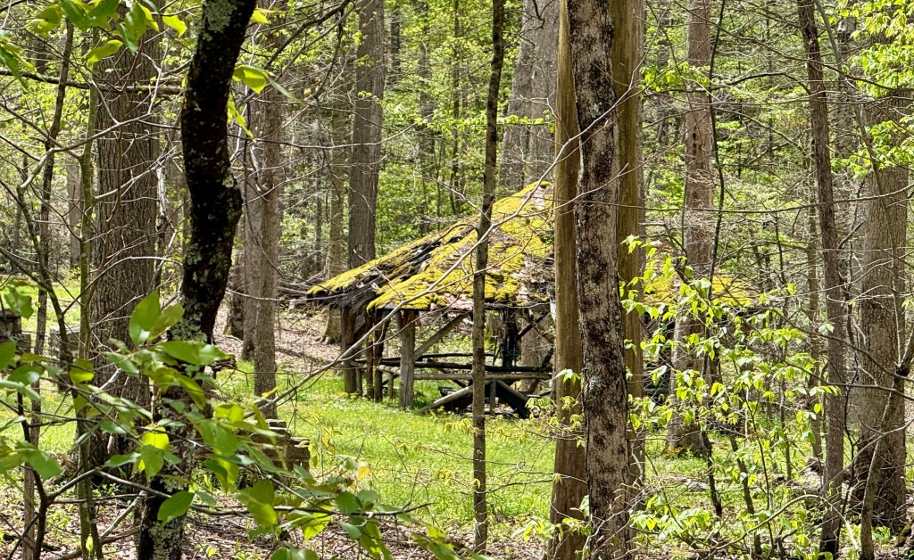
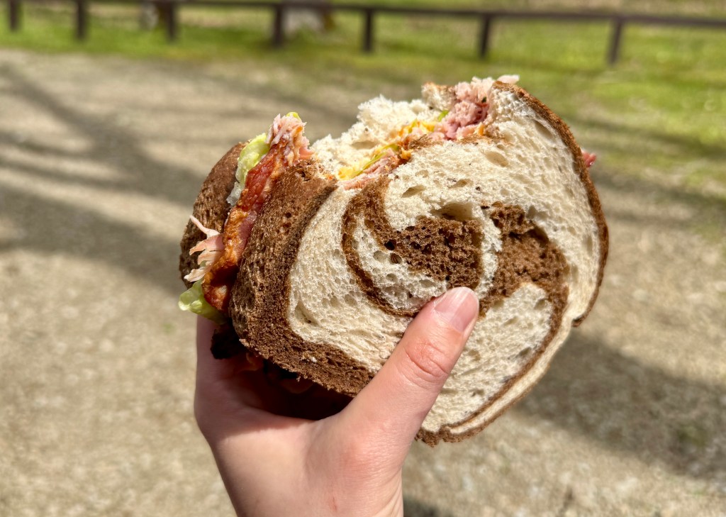
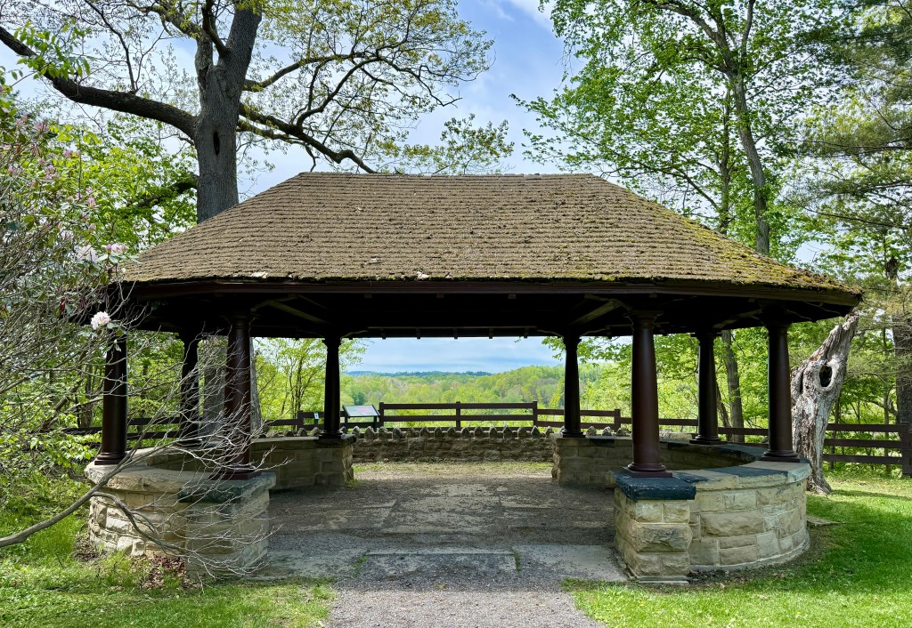
With lunch time upon me, I decided I would eat my sandwich I purchased at Fallingwater at the picnic site at Fort Necessity, somehow proving only to myself that I visited for more than fifteen minutes. I thought the picnic area would just be up the road a short ways, but instead I drove for over a mile, portion of it on a dirt road that moss was trying to overtake. Talk about a secluded picnic! The Fort Necessity Picnic Area is about a mile from the visitor center, about seven minutes by car. The Civilian Conservation Corps in the 1930s built the original pavillions and grills, which still are present. I enjoyed my sandwich, and hoped it would last me for the rest of the adventurous day.
Fort Necessity wrapped up, I headed out on a thirty-five minute drive to Friendship Hill National Historic Site. 99th NPS unit… I am getting so close to #100! In the days leading up to this day, I had waffled back and forth on isiting Friendship Hill in lieu of state highpoint chasing. Eventually I convinced myself I did not want to leave the unit “orphaned” in an area I was not very likely to return to. Surprise surprise, even though the Gallatin House and visitor center were closed, I enjoyed my visit to Friendship Hill!
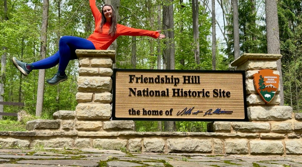
Albert Gallatin – America’s Forgotten Founding Father
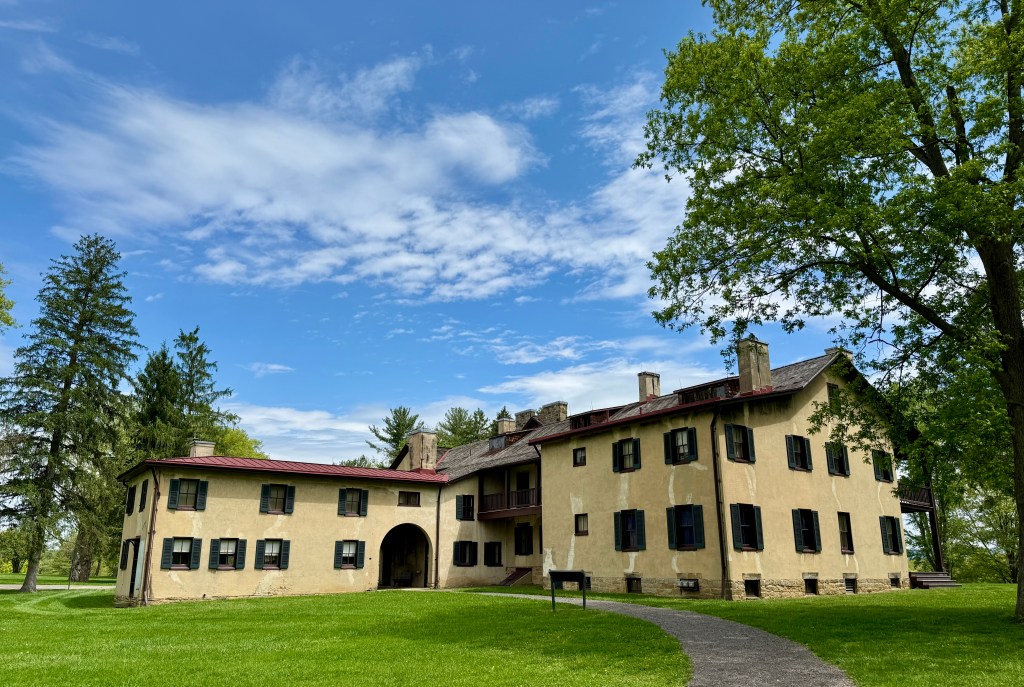
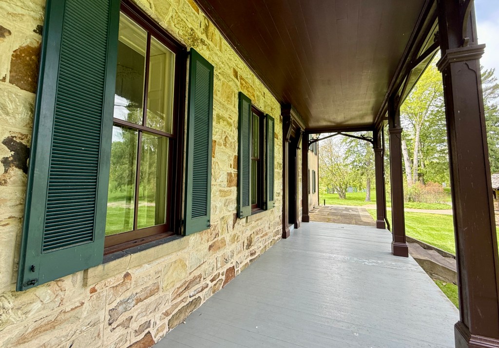
Albert Gallatin is best remembered for his thirteen year tenure as Secretary of the Treasury during the Jefferson and Madison administrations. In that time he reduced the national debt, purchased the Louisiana Territory and funded the Lewis & Clark exploration. Gallatin’s accomplishments and contributions are highlighted at Friendship Hill, his restored country estate.
In 1786, he purchased the property he named “Friendship Hill” in honor of three friends. Gallatin built the first part of the house, the Brick House, in 1789. He constructed other sections in 1798, 1821–23, and 1824 before selling the property in 1832. Later owners made additions to the house around 1900.
National Park Service
Did you know who Albert Gallatin was? Because I sure didn’t!
I pulled into the peaceful parking lot only shared with a handful of others out enjoying the sunshine with their dogs. After using the clean restrooms (a contrast to this morning’s disgusting ones at Mount Davis), I headed up the gentle hill towards the house. Aside from an employee mowing the massive lawn, all there was were chirping birds.
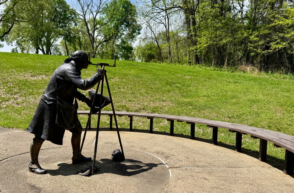
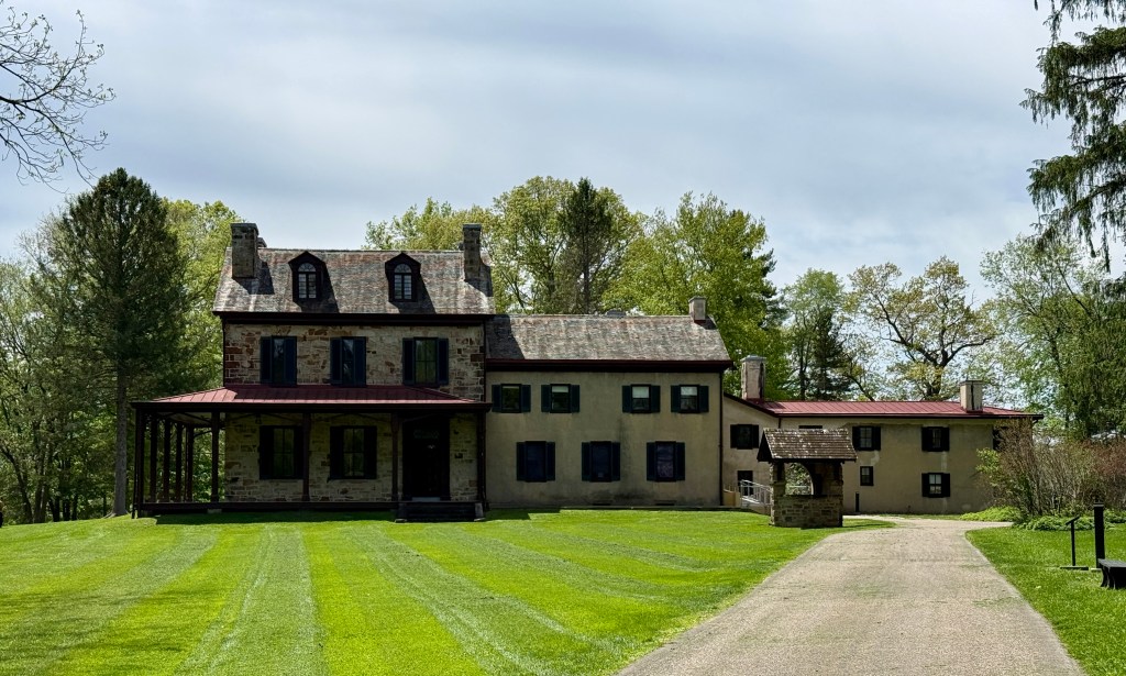
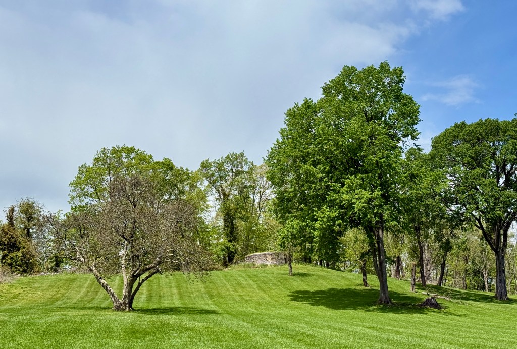
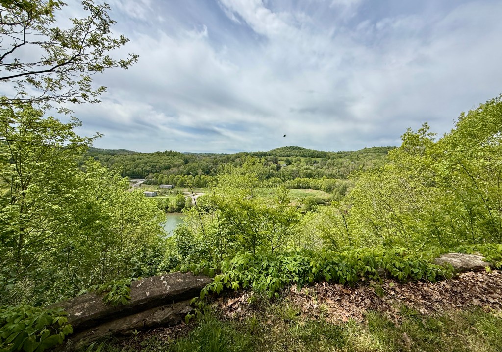
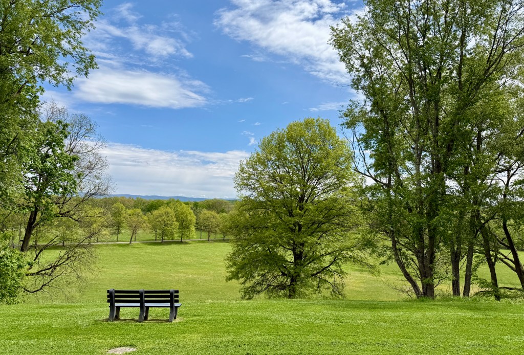
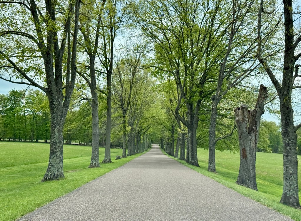
Friendship Hill boasts ten miles of hiking trails, but I just explored the area around the house, soaking in sunshine (which I hadn’t done in days) for about a half-mile before heading back to the car. With the house and visitor center closed (only open on weekends!), there was not a whole lot to do aside from reading the various informational signs and taking in the scenery.
Now to cap off my day with something never on the original itinerary and only discovered the day before I flew to Pittsburgh: Maryland’s state high point at Backbone Mountain (Hoye Crest to be exact)! I discovered by accident that I would be only a 90-minute drive from the start of the short hike, and figured “When in Rome…” because, once again, when would I ever be back in the area?! So what was just a western Pennsylvania road trip suddenly was involving West Virginia and Maryland.
Wait, West Virginia?
Yes, because Maryland’s high point resides just a couple of feet from West Virginia, and it is access by parking and hiking in West Virginia.
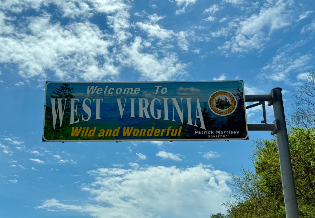
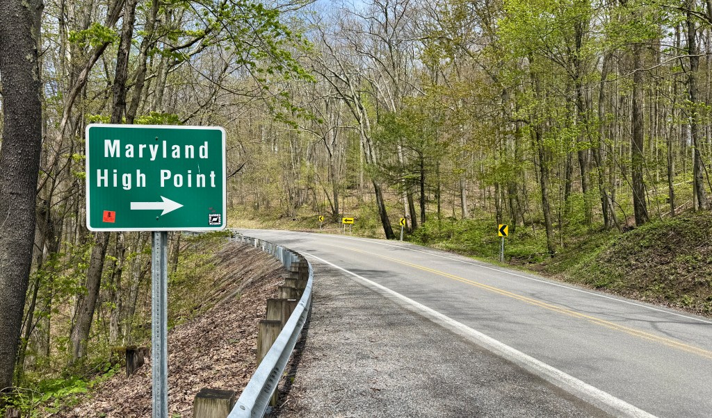
The ninety minute drive, once I left the interstate highway system, was on some of these windiest and narrowest roads I had ever driven. I had a local Terminex truck leave me in their dust as I braced for every sharp corner (oh how I wish I had my Subaru with its great handling and turbo!). Thirty miles per hour was fast a times. The crazy things I’ll do to climb a “mountain” in Maryland…
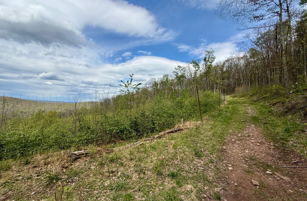
There was only one other car as I parked on the side of the road just pass the sign pointing me to the Maryland high point. I finally would be doing what could be classified as an actual hike, though only 2.5 miles round trip (but with 725 feet of elevation gain!). I stuffed rain gear in my running vest, and pour the rest of my water from my Hydro Flask bottle in a soft flask, and set out.
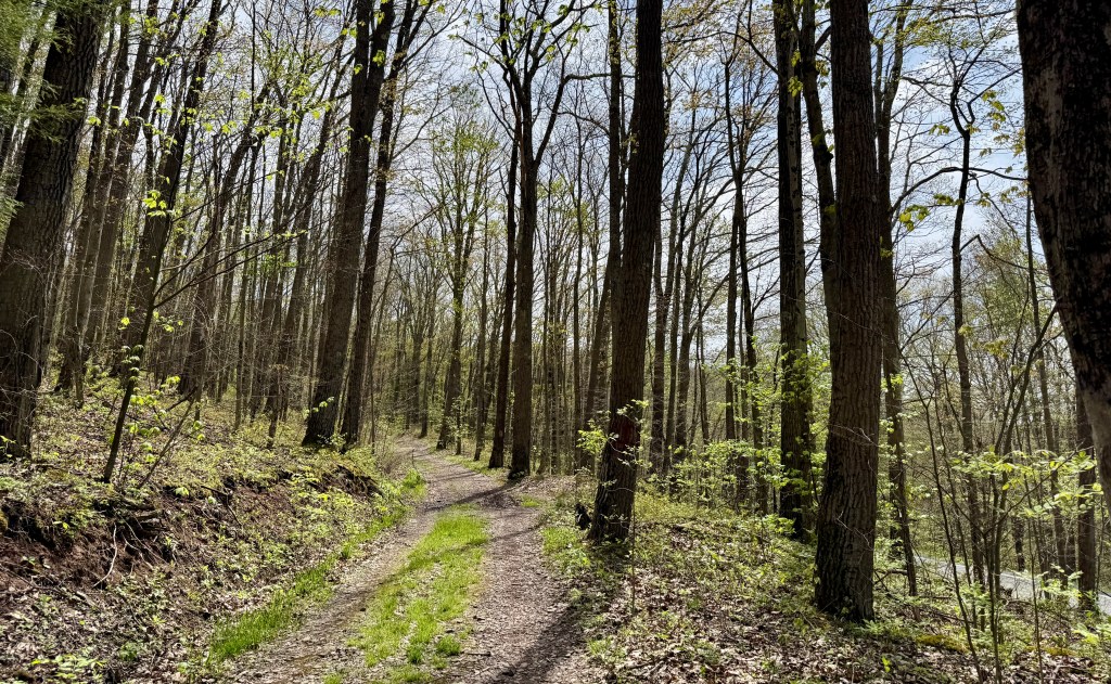
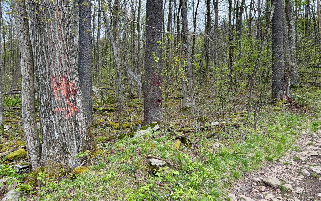
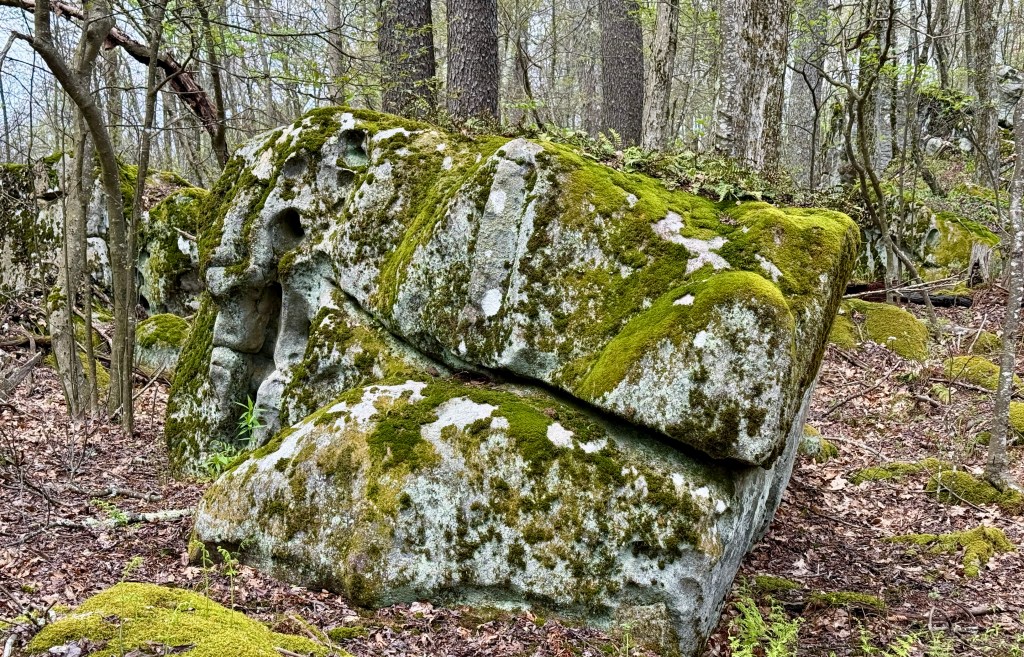
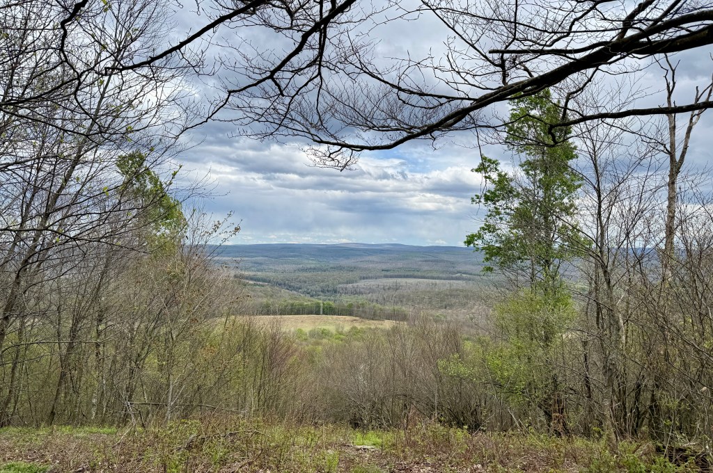
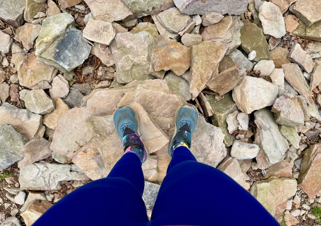
This trail climbs, and my weakness is that when I am at sea level (sea level is anything below 4,000 feet for me!) and have plenty of oxygen, I hike/walk/whatever really really really hard and fast, which leaves me sweaty and out of breath. This was no different, except I also got to slip and slide in gloppy mud. Most of my state high points I have driven to, so I laughed at the absurdity of Maryland making me work this hard. I was wheezing on the trail as another hiker descended passed me, and all I could think in my mind is, “No sir, I do not live at 6,087 feet and have never climbed a fourteener [name for a 14,000+ foot mountain].” He didn’t look sweaty or out of breath at all… but then again, was descending and probably hadn’t practically run up this hill…
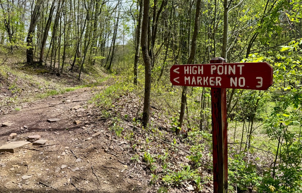
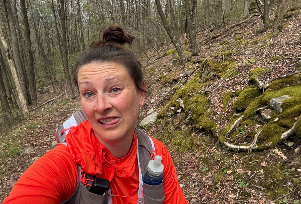
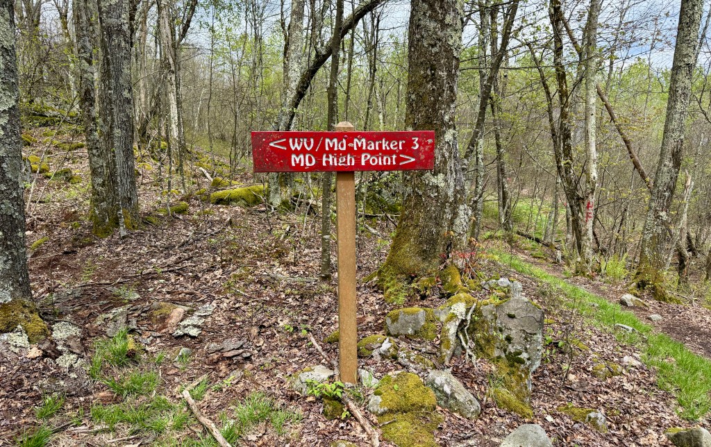
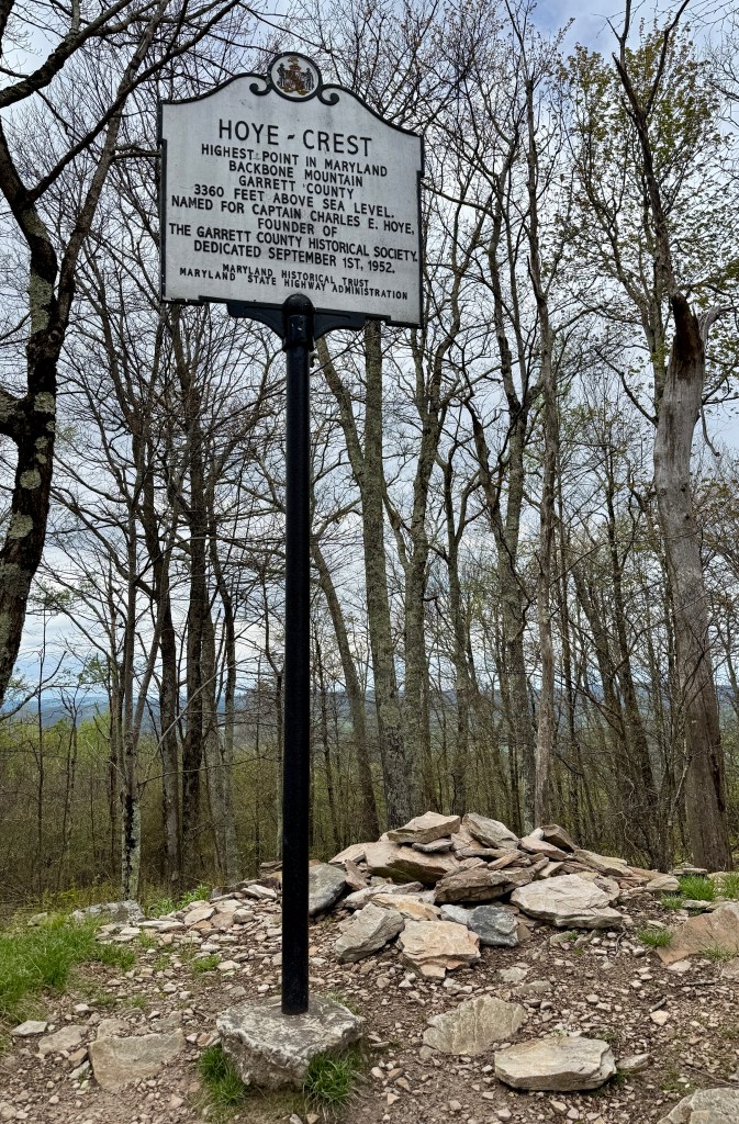
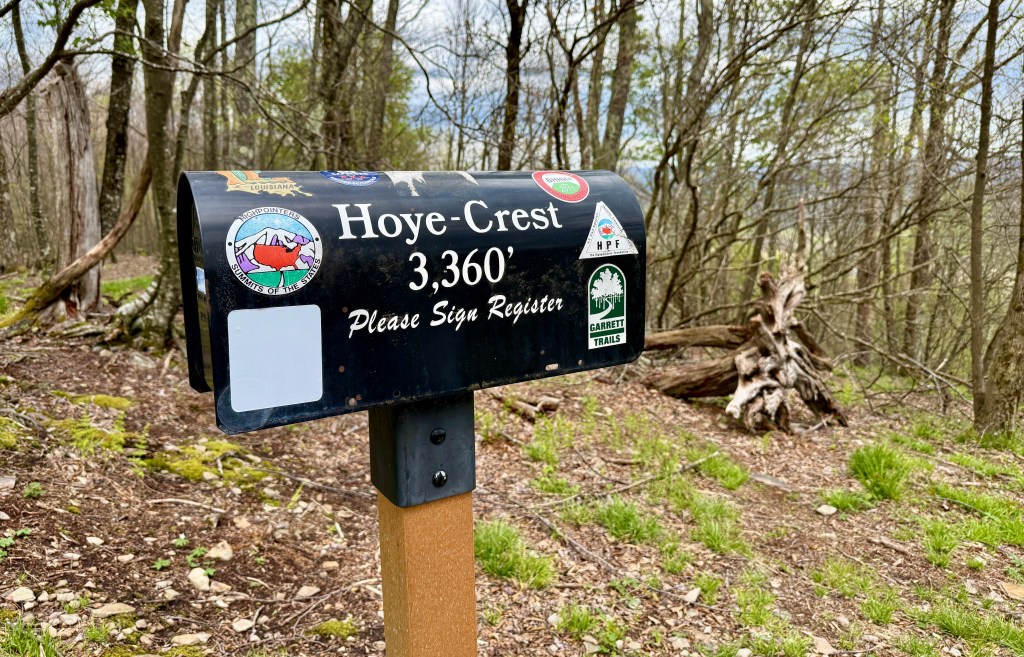
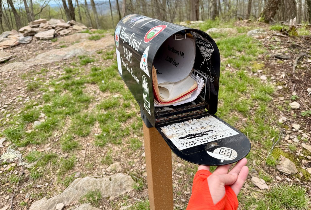
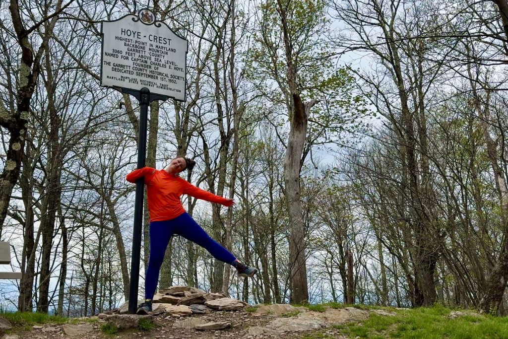
Finally (after minutes, because, after all, it is barely over one mile to the top), the trail flattened a bit and I found myself rounding the bushes and greeted by a mailbox and a comically tall sign marking Hoye Crest at 3,360 feet (1,020 meters).
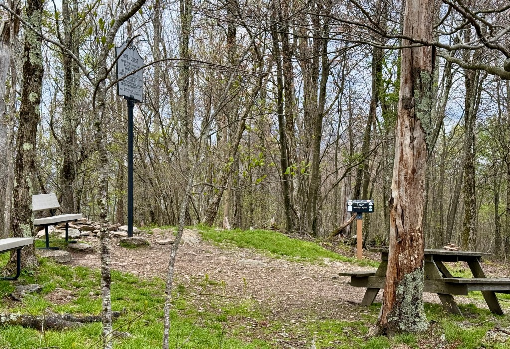
After “checking the mail” and getting some photos with the Comically Tall Sign (seriously, why is it so high up?!), I headed back down the trail hoping that any rain would hold off. I had been so so so lucky with the weather, with the day much sunnier than forecasted and I wanted to stay dry. Starting and ending the day with two different state high points… woo hoo!
I have now stood on top (but not cartwheeled) of Colorado, Oklahoma, Nebraska, New Hampshire, South Dakota, Pennsylvania, and Maryland!
I had another ninety-minute drive back to Somerset, albeit on some much wider roads with higher speed limits than my journey to the trailhead. Previously I had only been to the far eastern reaches of Maryland, so I was happy to drive through a portion of the rural western side of the state before crossing back into Pennsylvania for good. The rain that held out for all my activities finally started falling, especially the closer I got to Somerset.
What a day! There was a lot of butt time in the car, but I did and saw so much! I grabbed a big sandwich to go from Jersey Mikes, and settled into my hotel after a shower to write some postcards and rest up for the final full day of adventure the next day. Here comes NPS unit #100, finally!


Leave a comment