California, Death Valley National Park, Hiking, National Parks & Monuments, State Parks, United States

Salt, Sand, and Sierra Mornings: Day 2 – Surviving Death Valley

March 1, 2026

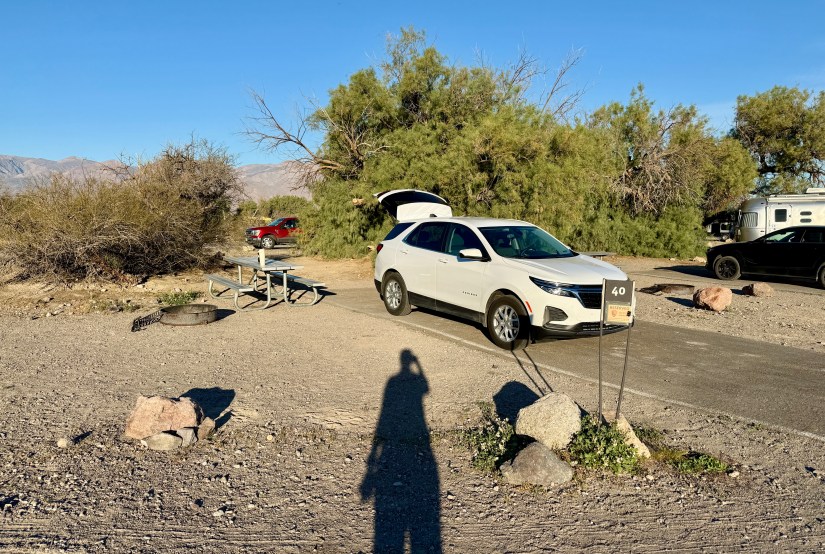
I awoke, throwing off my sweaty 15-degree sleeping bag and rolling off the four-season rated sleeping pad at 6am. I felt parched. I did not sleep well at all. But I survived a night of camping in Death Valley in mid-60s lows!

A campsite with a white SUV parked, a red vehicle in the background, and a picnic table nearby, surrounded by desert vegetation and rocks.
I completely failed at photographing our campsite, #40, at Furnace Creek Campground until we were ready to leave. Whelp, here’s our site! We had the tent set up by the big shrubbery.

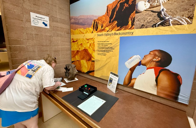
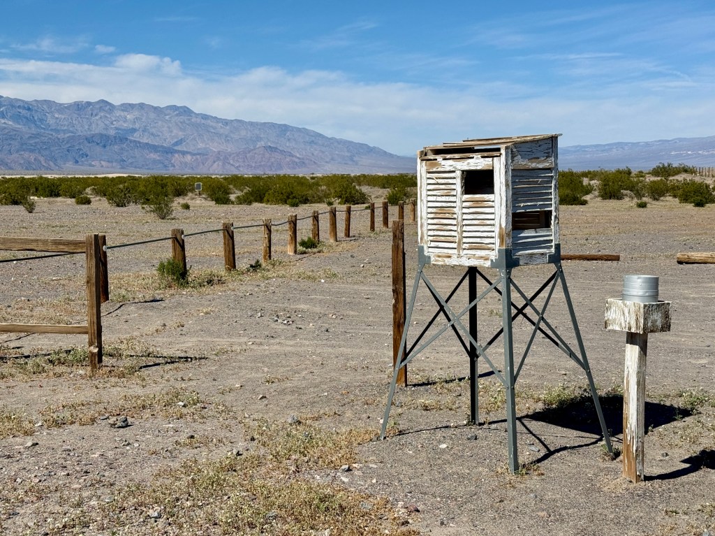
After packing up, Lindsey and I headed out to grab breakfast at the Furnace Creek General Store and do our visitor center duties. We had a really weird interaction at the visitor center, where signage said to show your park pass in order to get a unigrid brochure. I collect unigrids, so of course I made a beeline to show my pass. I was handed a park newspaper, so I asked if they had any unigrids available. “We only have 250 left so we’re not really giving them out.” Uhhh… so I explained to her I collect them, placing each one in a plastic sleeve in a binder and she begrudgingly turned one over to me. Considering Stovepipe Wells was handing them out routinely, it was odd Furnace Creek was pretty much denying everyone one?

A visitor interacting with a display about Death Valley at a museum, featuring a large wall mural of Death Valley's landscape and a section highlighting the importance of hydration. There is a passport cancellation stamp station visible.
Passport stamping at the Furnace Creek Visitor Center

ANYWAYS…

A winding road curves through a mountainous landscape with snow-capped peaks under a clear blue sky.
Heading out to start the day’s adventures below sea level

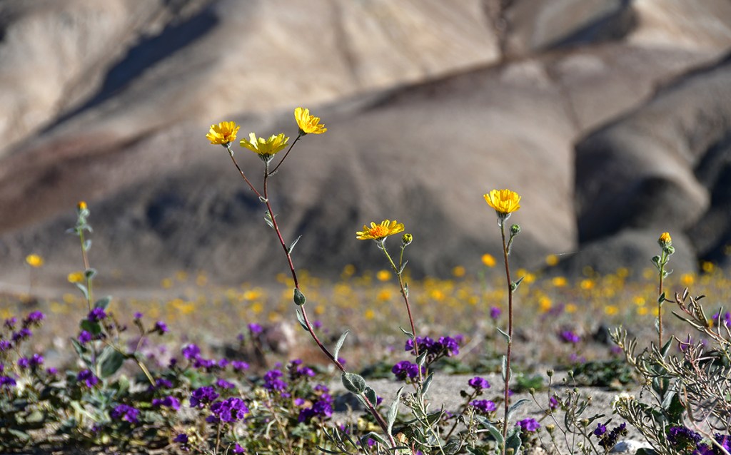
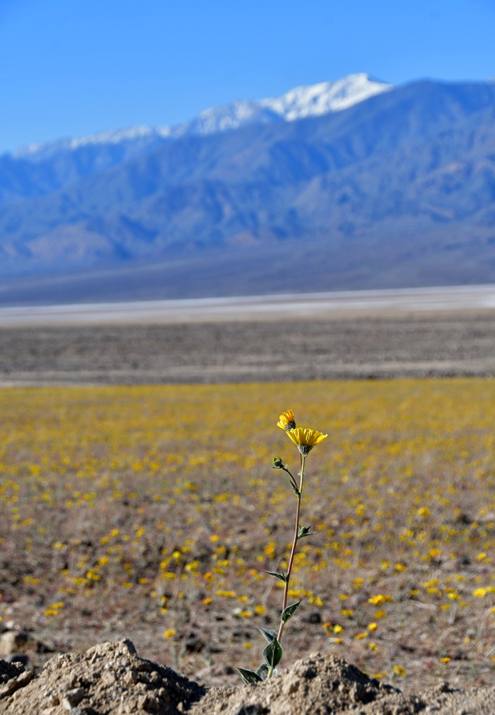
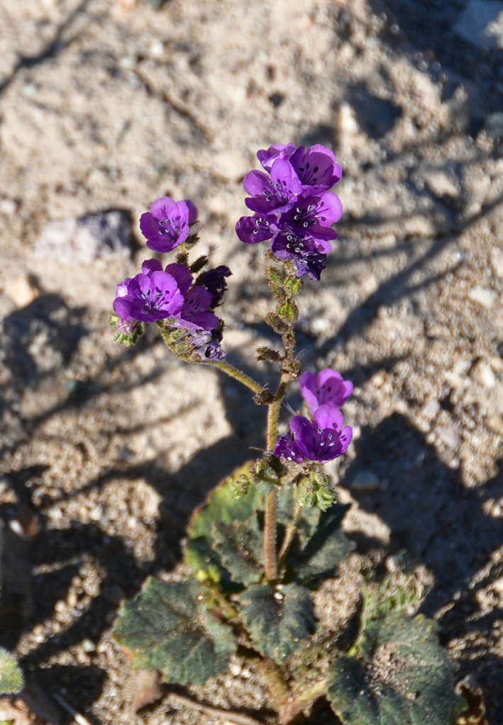
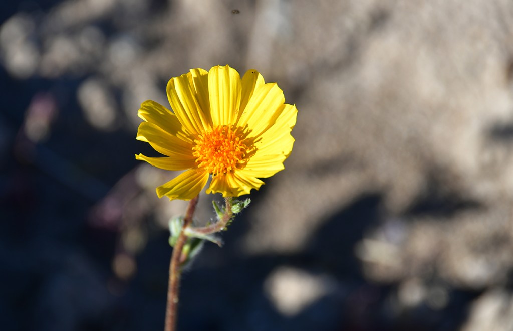
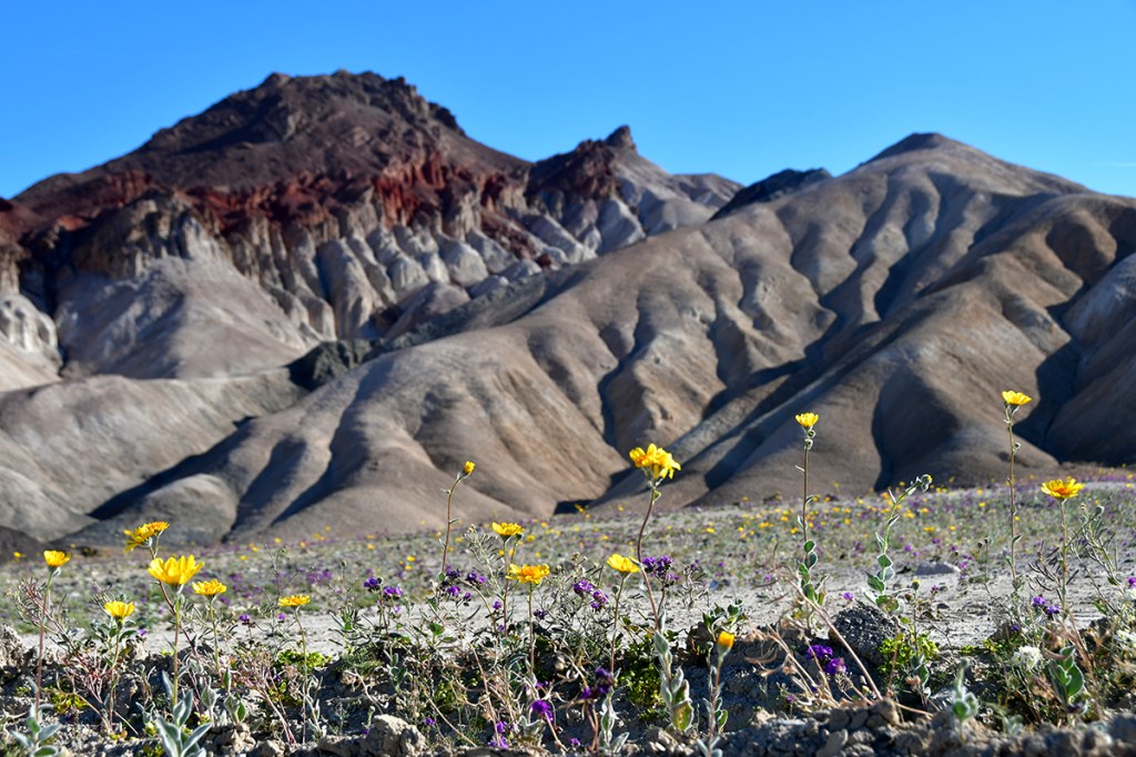
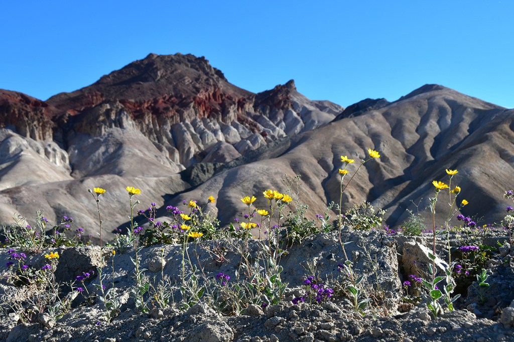
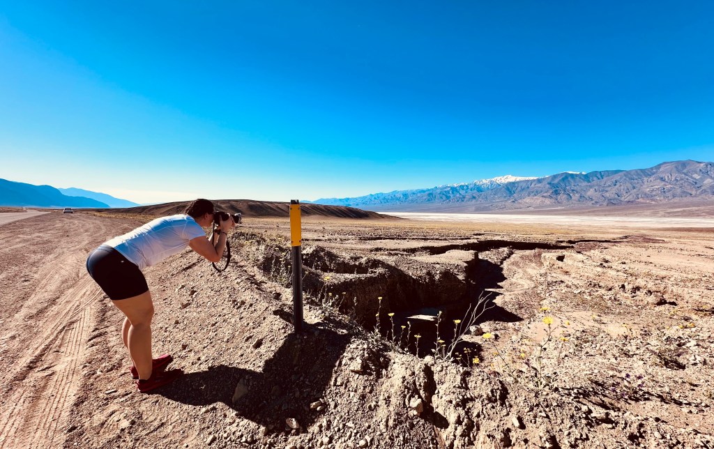
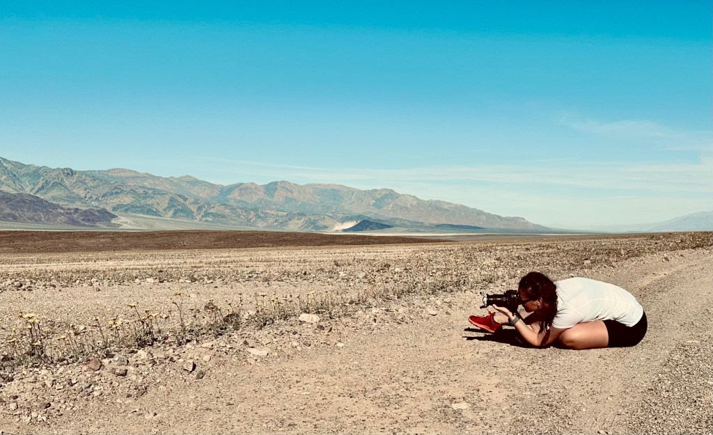
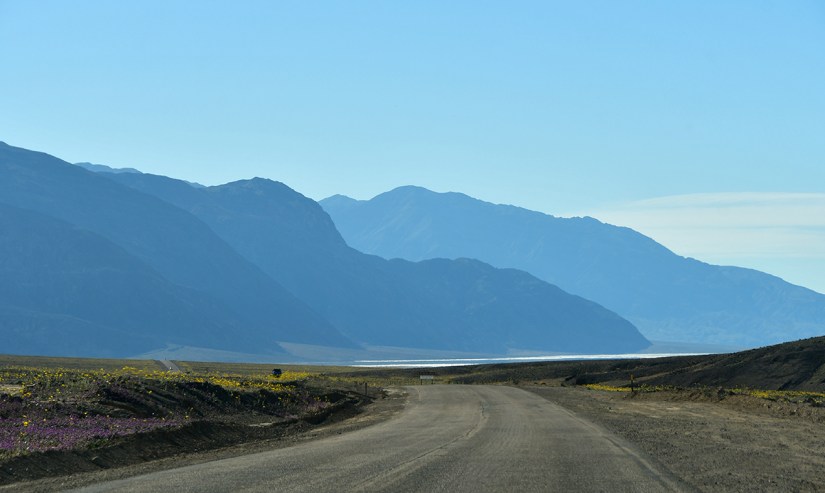
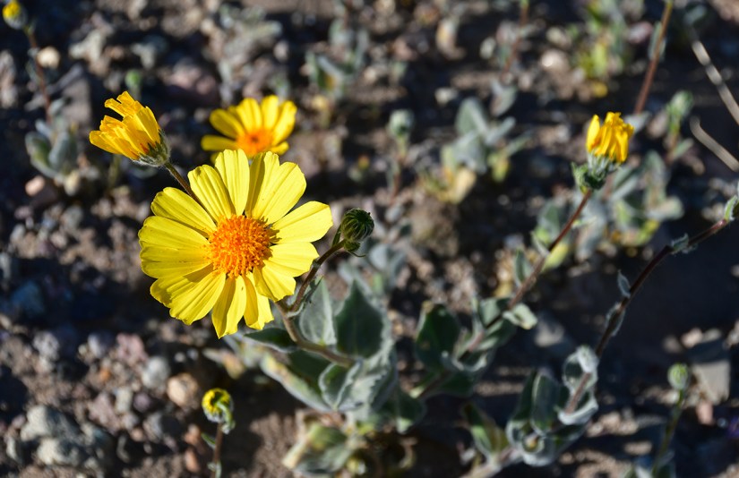
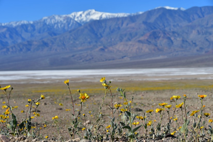
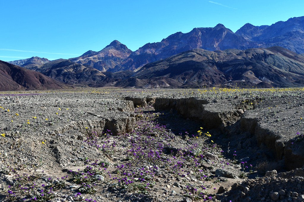
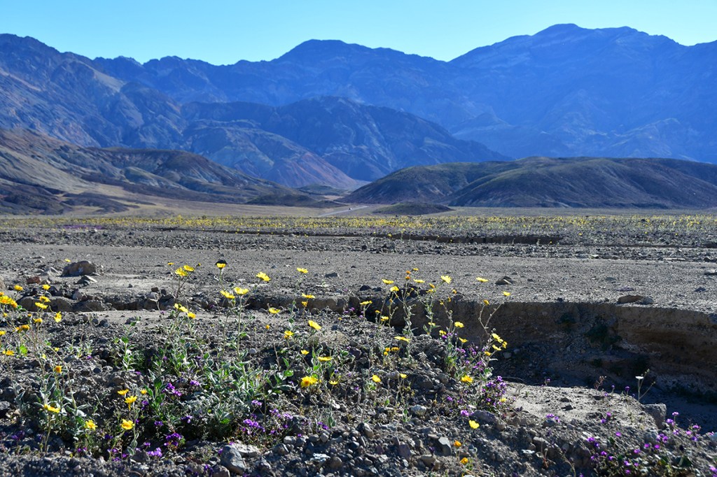
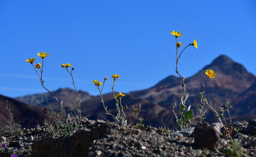
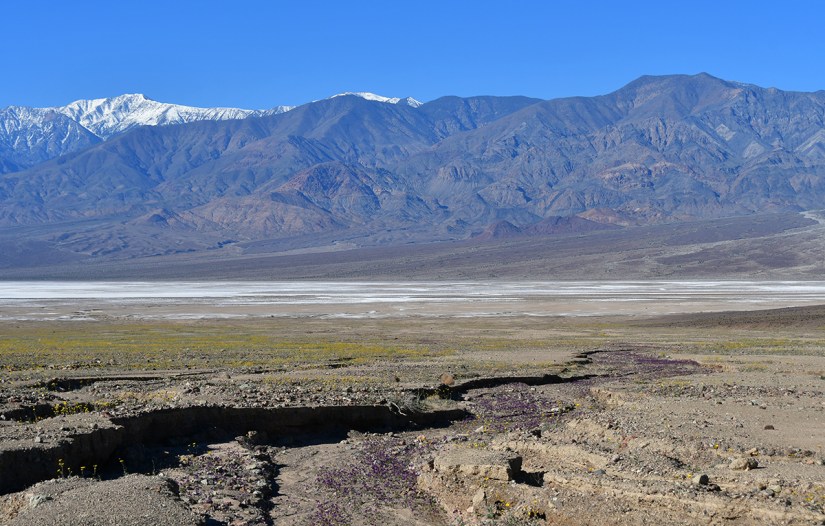
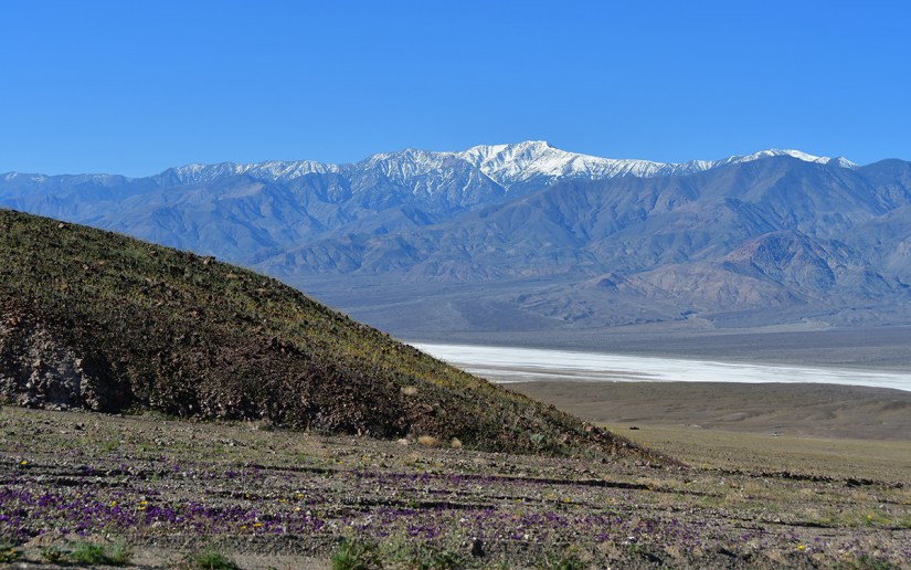
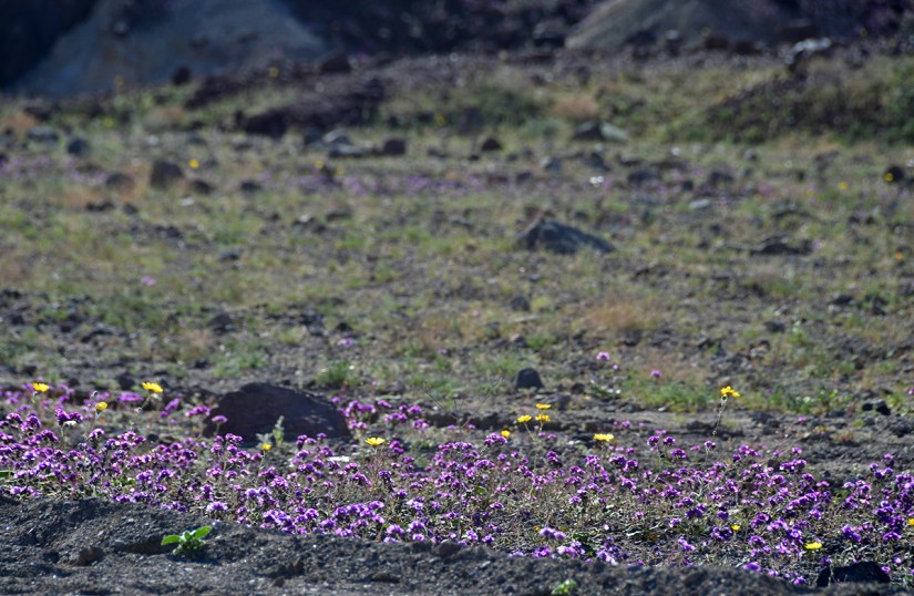
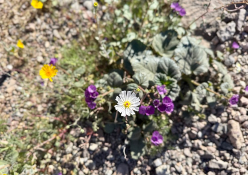
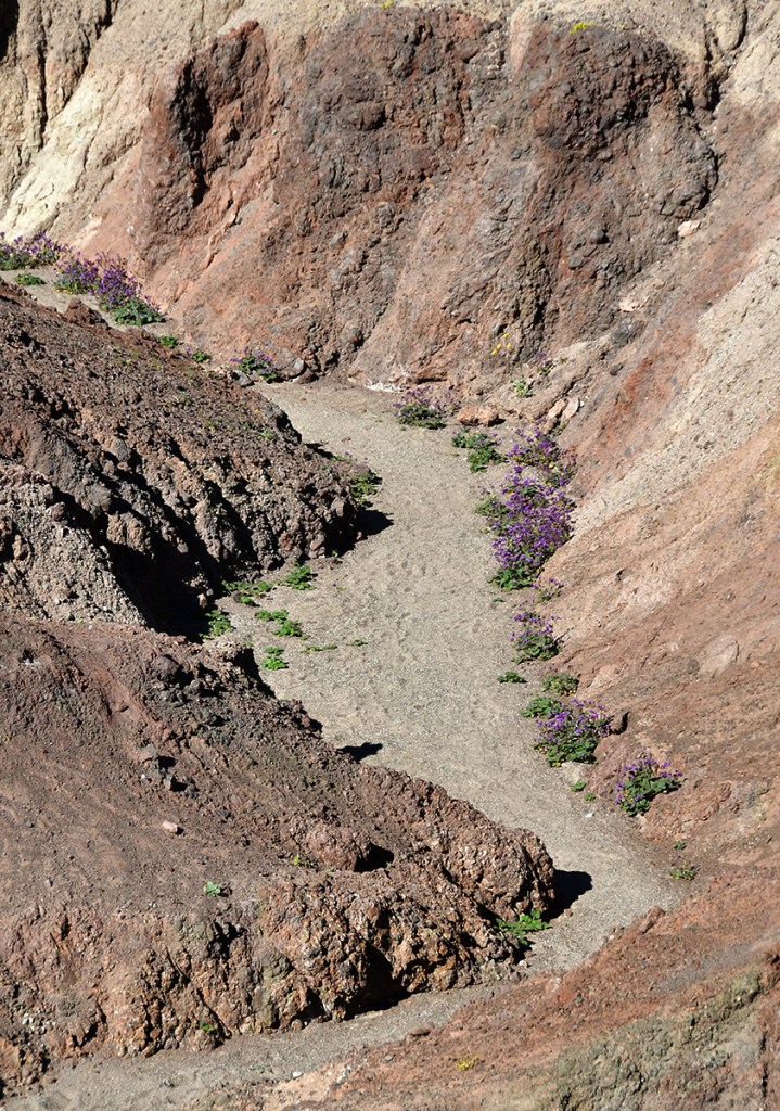
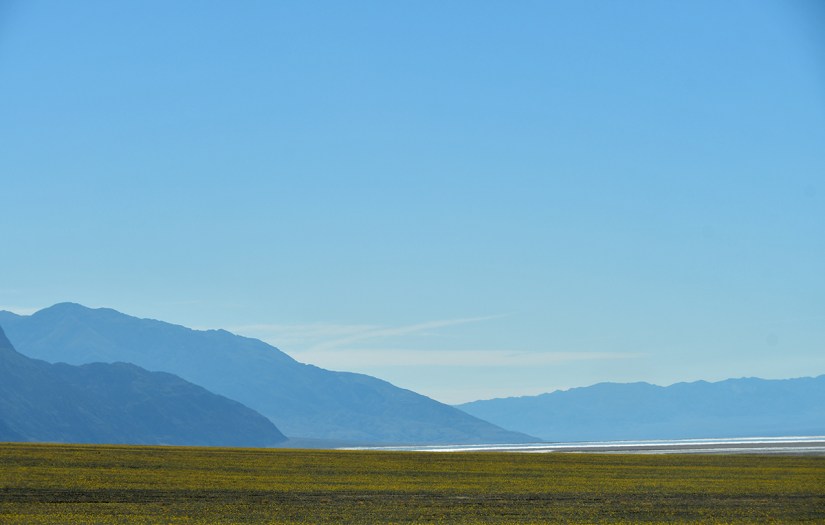
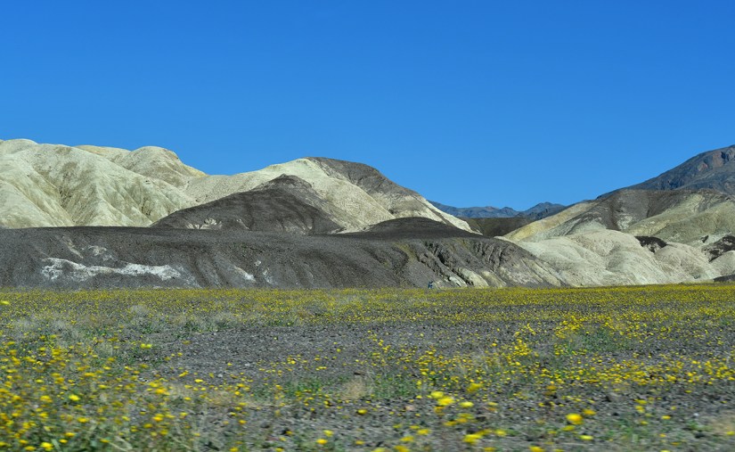
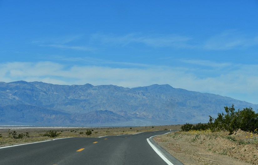
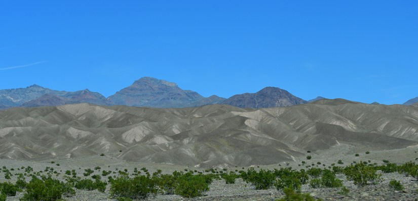
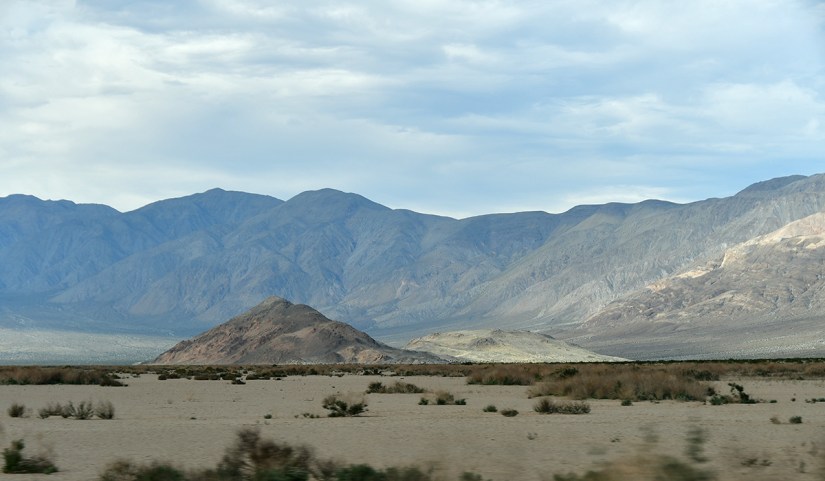
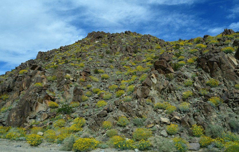
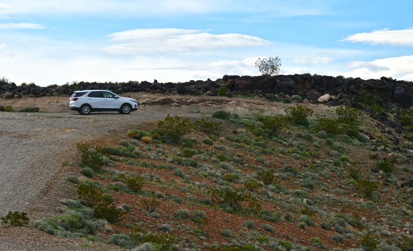
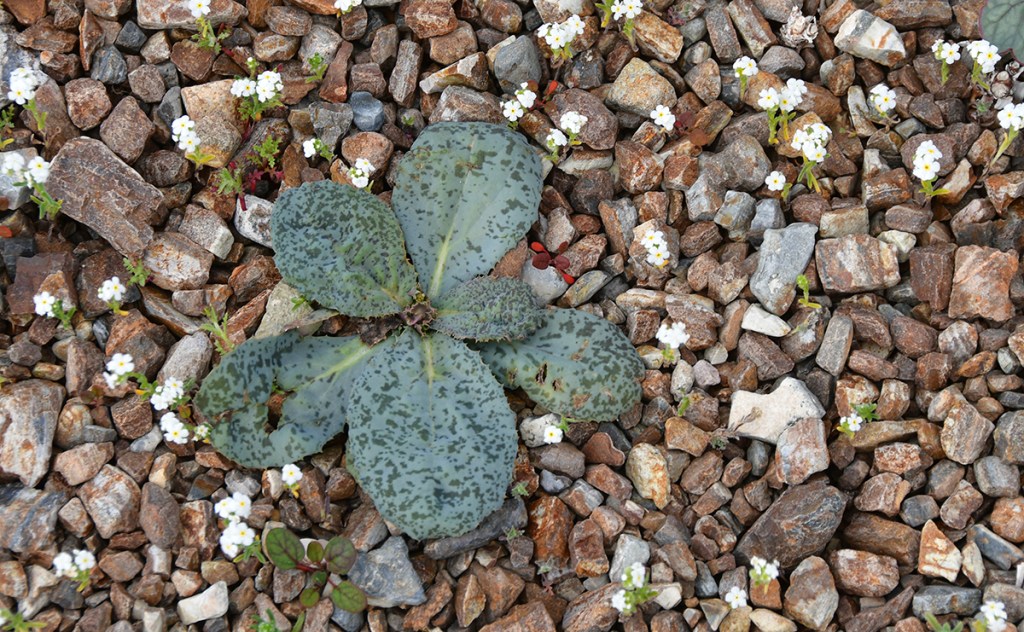
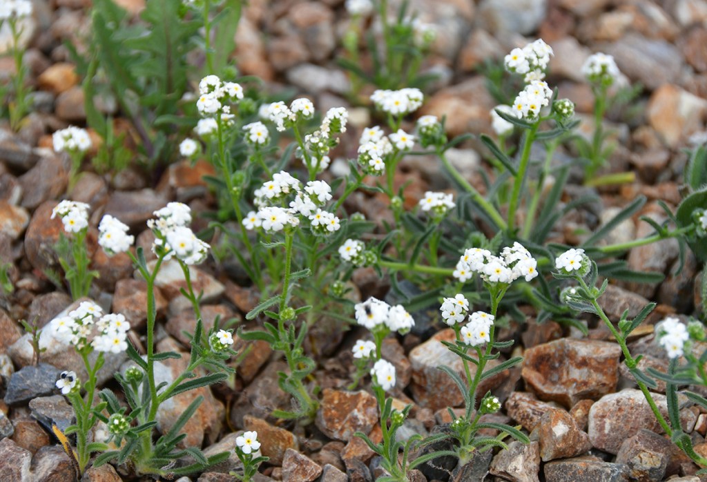
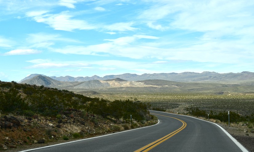
By now it was almost 9am, but we were still getting a bit of an “early” start. We headed back south on the same route we took to Badwater Basin the night before. Death Valley was in the throes of a wildflower superbloom (the best one since 2016!), so we took the chance to make some roadside stops to photograph the wildflowers before the crowds descended.

A single yellow flower stands out in a vast field of blooming wildflowers, with rocky soil in the foreground and snow-capped mountains in the background under a clear blue sky.
Being able to see a superbloom was a special surprise for this trip!
Close-up of vibrant yellow flowers among purple flowers in a desert landscape, with rugged mountains in the background.
Who said deserts are gloomy places with no color?!
A vast desert landscape with scattered yellow wildflowers in the foreground, leading to mountain ranges in the background, topped with snow under a clear blue sky.
Blues and yellows
Scenic view of colorful wildflowers blooming in a barren landscape with rugged, multi-colored mountains in the background under a clear blue sky.
The scorpionweed would grow in areas that made it look like purple veins
A scenic view of a winding dirt road flanked by vibrant wildflowers, with expansive mountains and a clear blue sky in the background.
Looking towards Badwater Basin
Close-up of yellow flowers with green foliage in a rocky ground setting.
More desert gold
A field of yellow wildflowers in the foreground with snow-capped mountains in the background, under a clear blue sky.
Telescope Peak made for a great backdrop!
A vast desert landscape featuring dry earth and sparse vegetation, with distant mountains under a clear blue sky.
Not a boring view to be found

Close-up of yellow wildflowers growing among rocky terrain with a mountainous background and clear blue sky.

A wide view of a desert landscape featuring a dry, cracked ground with sparse vegetation, leading to snow-capped mountains in the background under a clear blue sky.
A river of purple

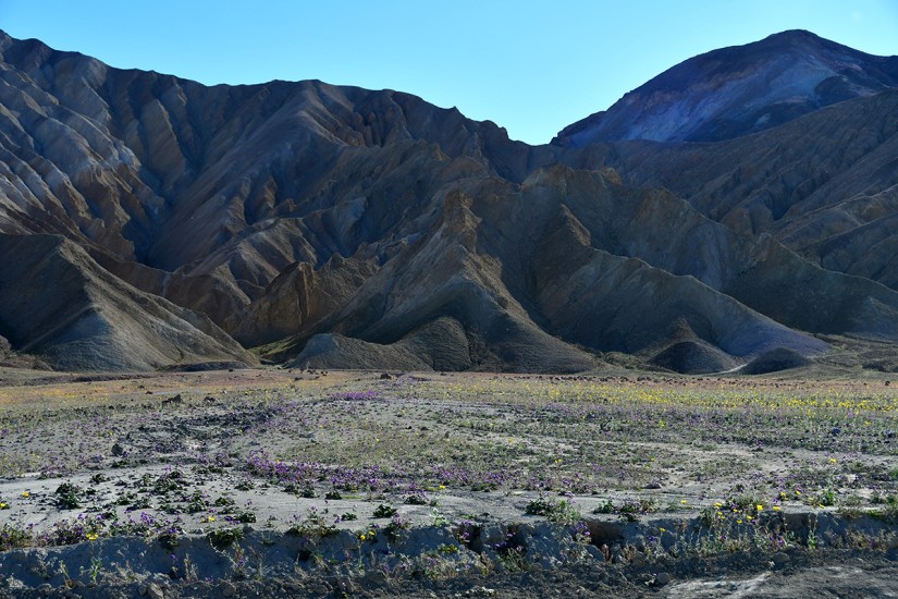
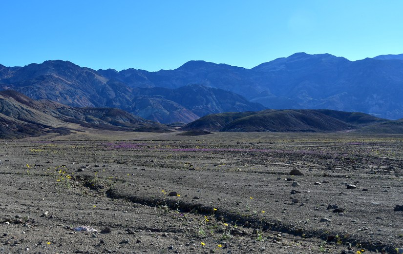
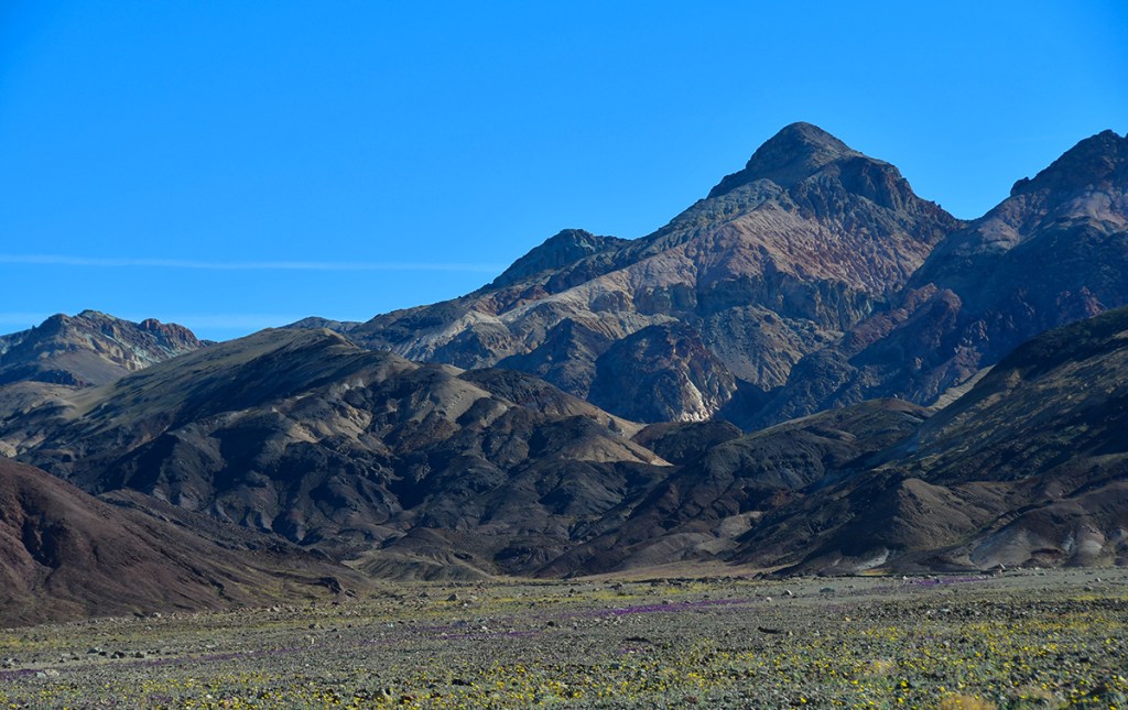
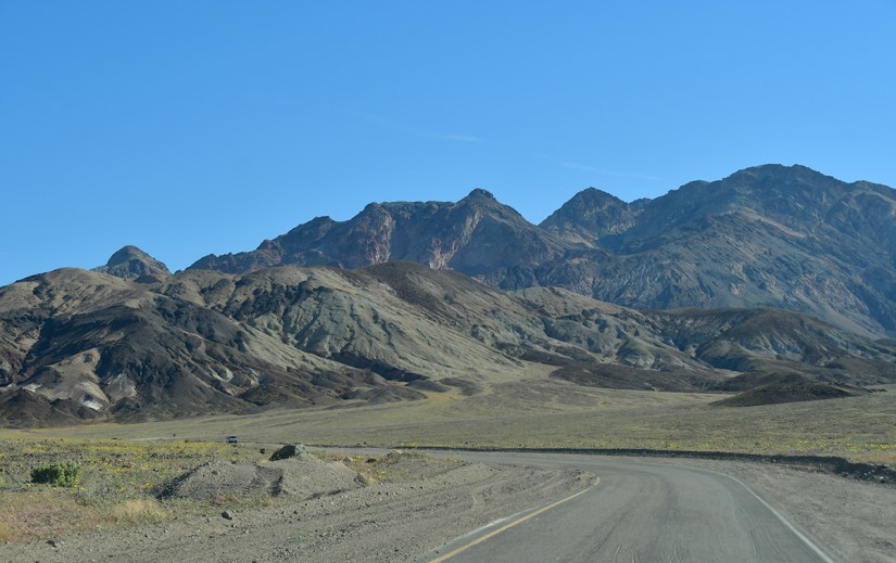
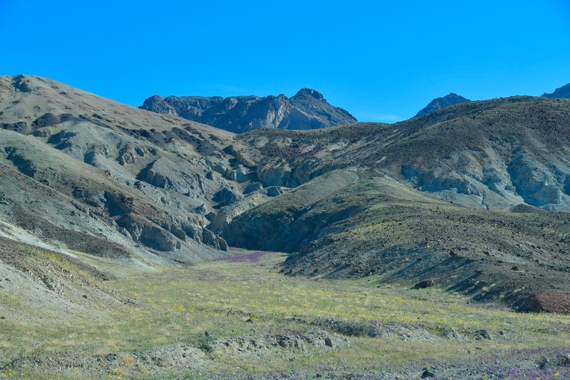
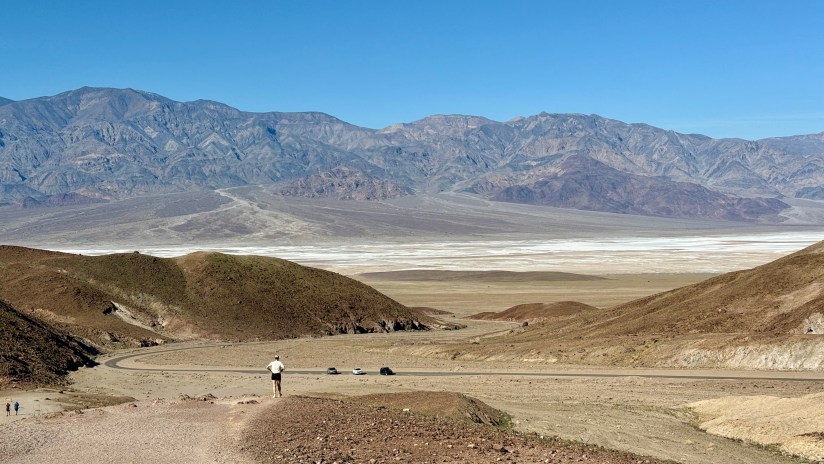
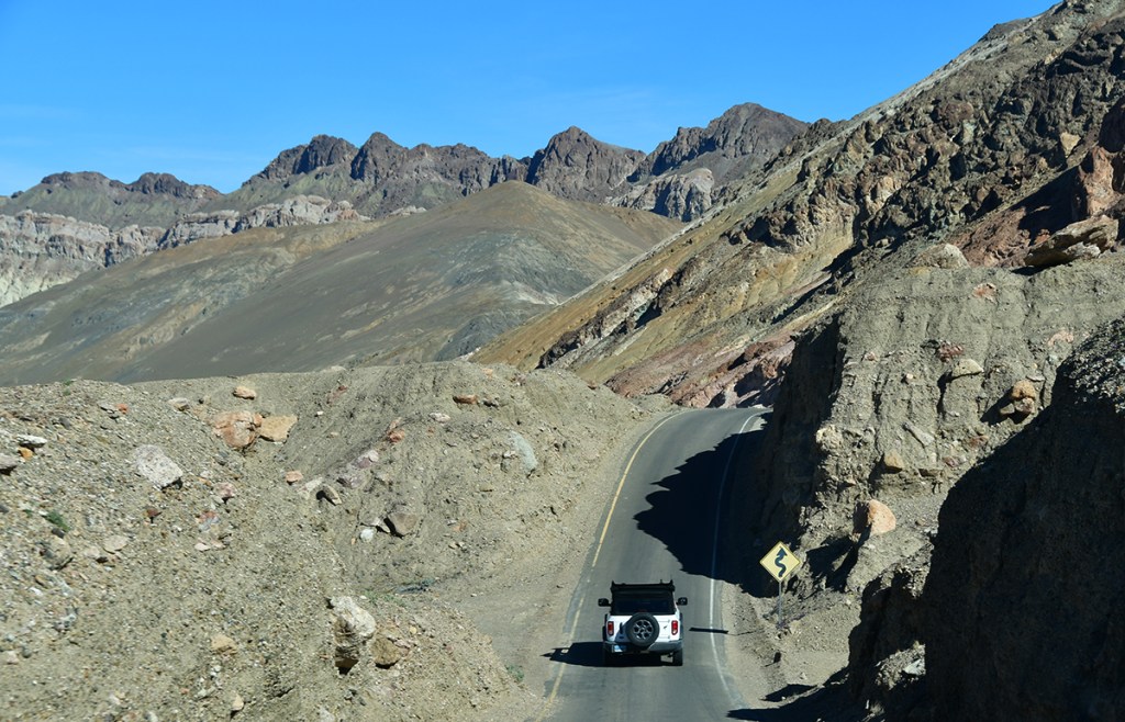
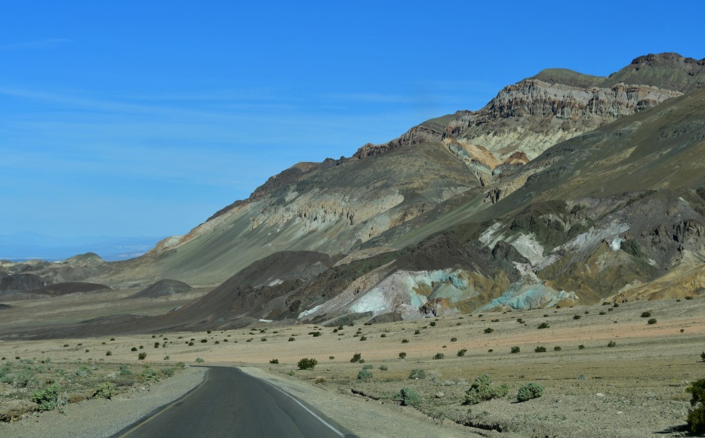
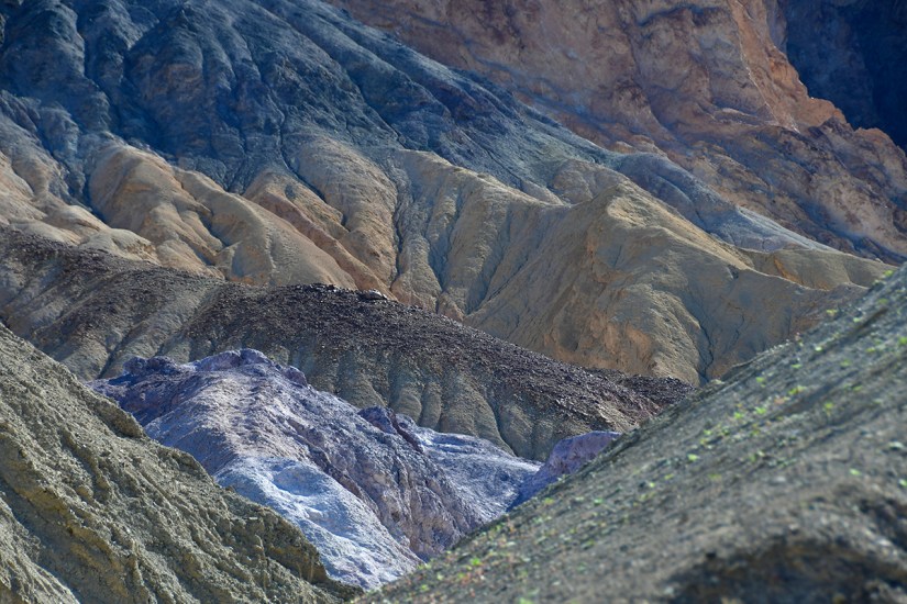
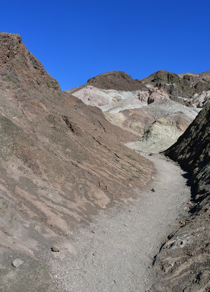
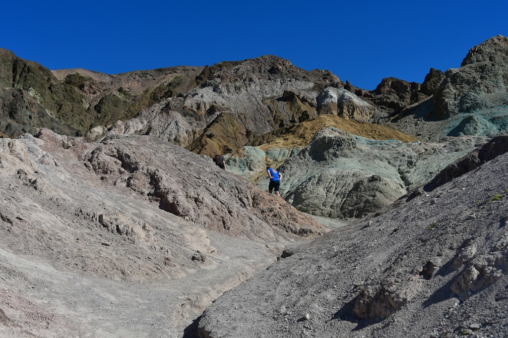
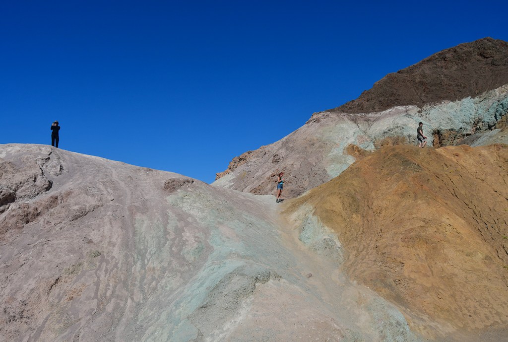
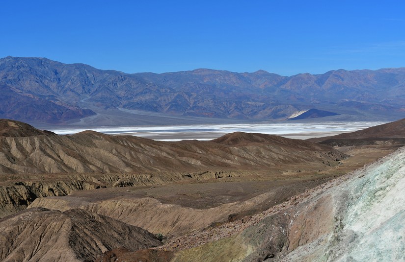
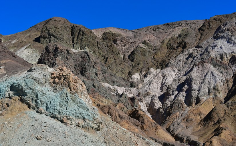
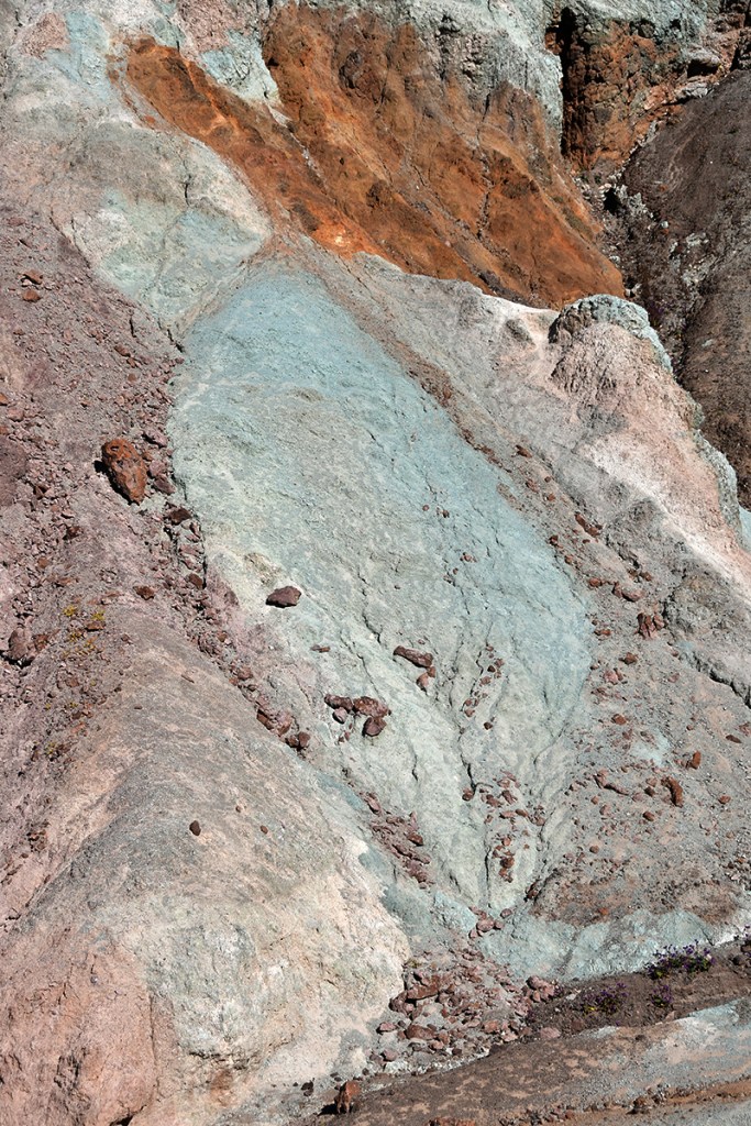
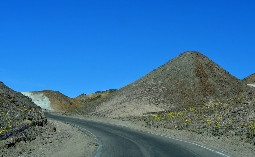
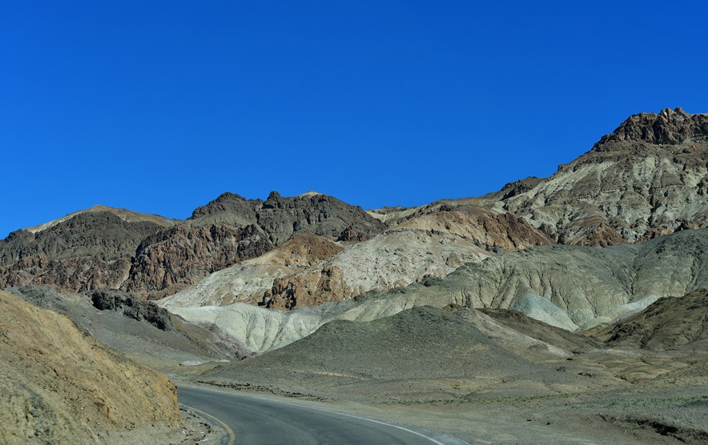
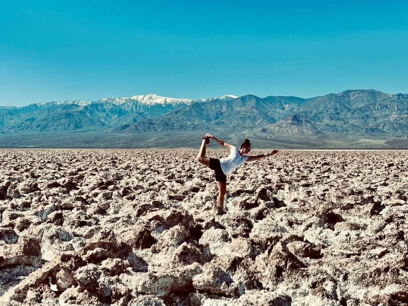
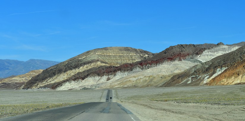
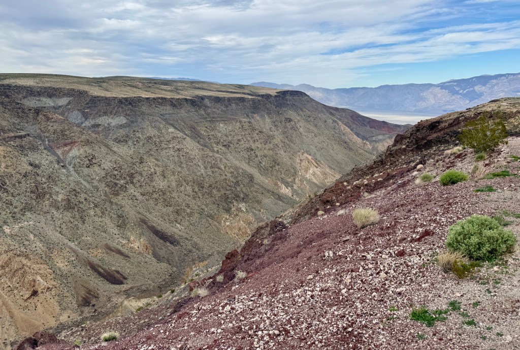
Artists Drive was our next destination, a 9-mile long one-way drive up and through Artists Palette. Gosh do I love a good ol’ one-way drive in a national park! This drives ascends through volcanic deposits of varying hues, and ends with some views over Badwater Basin.

A winding road leads through arid terrain with rugged mountains in the background under a clear blue sky.
Beginning Artists Drive
Snow-capped mountains in the background with a clear blue sky, and a green hillside with blooming flowers in the foreground.
Quickly gaining elevation
A field of colorful wildflowers, primarily purple with hints of yellow, growing among rocky soil in a natural landscape.
Oh look, I found more flowers to photograph!
A panoramic view of rolling hills and mountains under a clear blue sky, featuring mixed vegetation and rocky terrain.
A river of yellow!
A cluster of wildflowers in a rocky terrain, featuring a central white flower with yellow petals, surrounded by purple and yellow flowers against green foliage.
Started to see some white flowers among the yellow and purple!

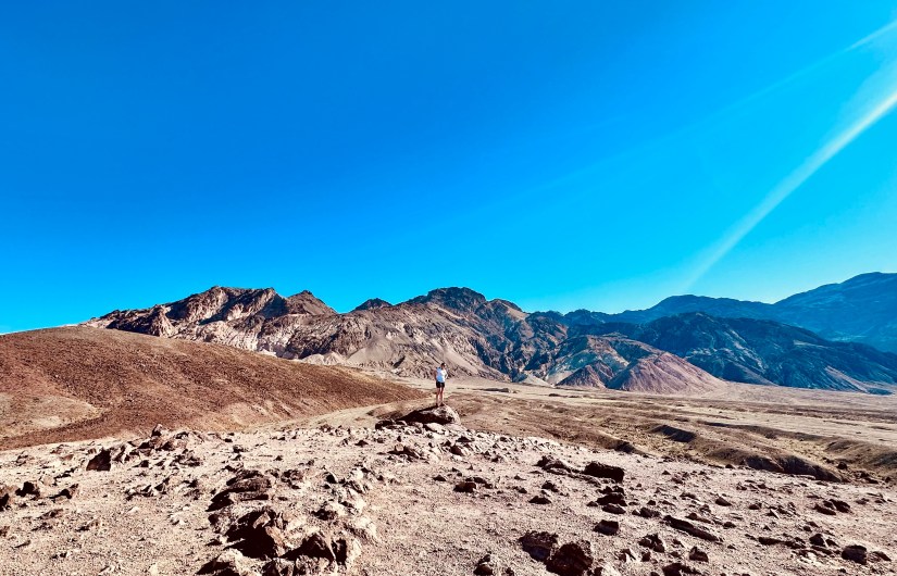
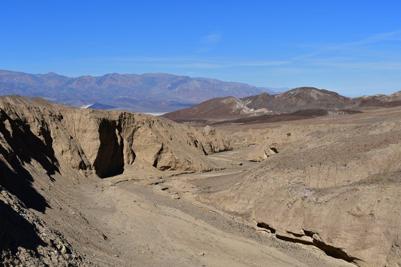
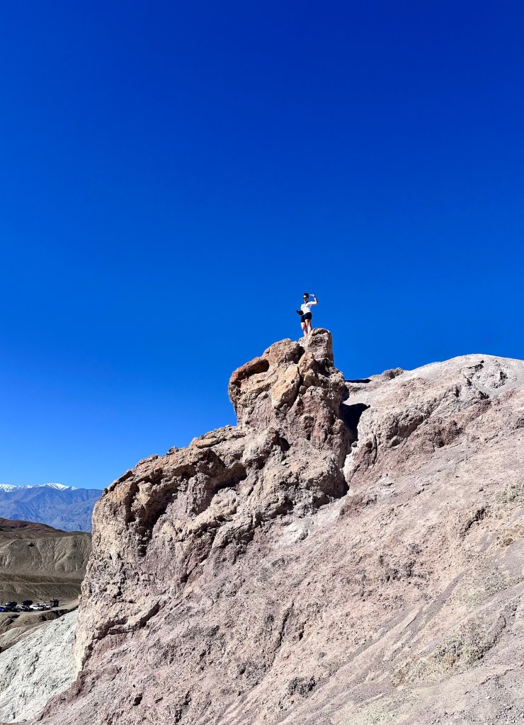
Our first stop was a pull off that looked like there was some good views. The temperature felt hot (I am sure it was skirting the 80s already), but we hoofed it up the hill, and then up another hill to see what the view would have in store for us. It wasn’t the most dramatic view, but I at least found a rock to stand on!

Scenic landscape of a dry desert area with mountains in the background and a reflective salt flat under a clear blue sky.
Not a shabby view towards Lake Manly
A lone hiker stands on a rock in a vast desert landscape with mountains in the background under a clear blue sky.
There goes me, finding a rock to stand on
A panoramic view of a desert landscape featuring flat, white salt flats in the foreground and a range of rugged mountains in the background under a clear blue sky.

A person walking on a dirt road in a mountainous desert landscape with a vast valley and snow-like salt flats in the background under a clear blue sky.
Looking back towards were we parked

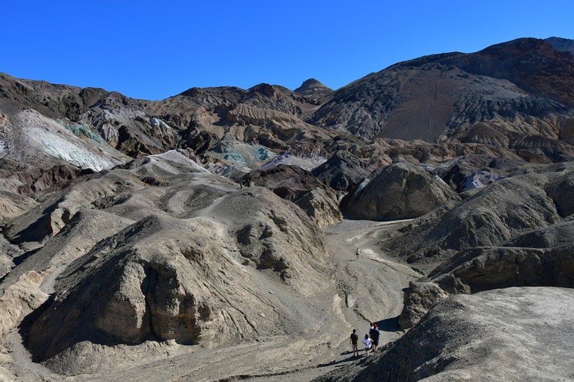
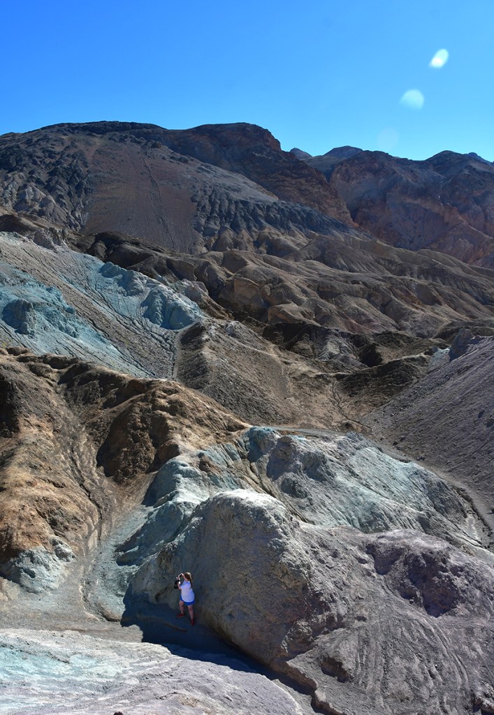
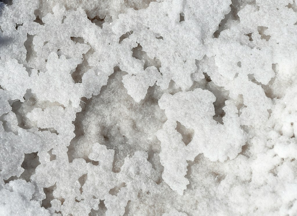
We continued up the road a short ways to Artists Palette. There are restrooms here (which are smelly vault toilets… thanks to Death Valley being rather hot, vault toilets have plenty of time to stew!), which we used before setting out on the short, but steep hike into Artists Palette.

A vast desert landscape featuring dry, rocky terrain, with a clear blue sky and distant mountains in the background.
View from the vault toilets at Artists Palette
Panoramic view of rugged terrain and colorful hills in a desert landscape, with two hikers on a winding path under a clear blue sky.
Let’s go see some colorful stuff!
A landscape of colorful, rugged mountains showcasing varied geological formations and textures in shades of brown, blue, and gold.
These rocks… these rocks!!!
A winding trail leads through rugged, multi-colored rock formations under a clear blue sky.
Lindsey and I were hugging every bit of shade we found on this short hike

Panoramic view of arid mountains with a salt flat in the distance under a clear blue sky.

A person wearing a white shirt stands on rocky terrain with colorful mineral deposits in a mountainous area under a clear blue sky.
Looking down at Lindsey. Hi, Lindsey!
A person in a white shirt and shorts standing triumphantly on a rocky outcrop against a clear blue sky, with mountains visible in the background.
Lindsey looking up at me! Hi, Lindsey!
Colorful rocky mountains with various mineral hues under a clear blue sky.
The sunlight was harsh, but I liked how the colors still popped a bit
Panoramic view of rugged mountains and arid desert landscape with a salt flat in the foreground.

A panoramic view of a vast desert landscape with distant mountains under a clear blue sky.
Back to the blues and yellow

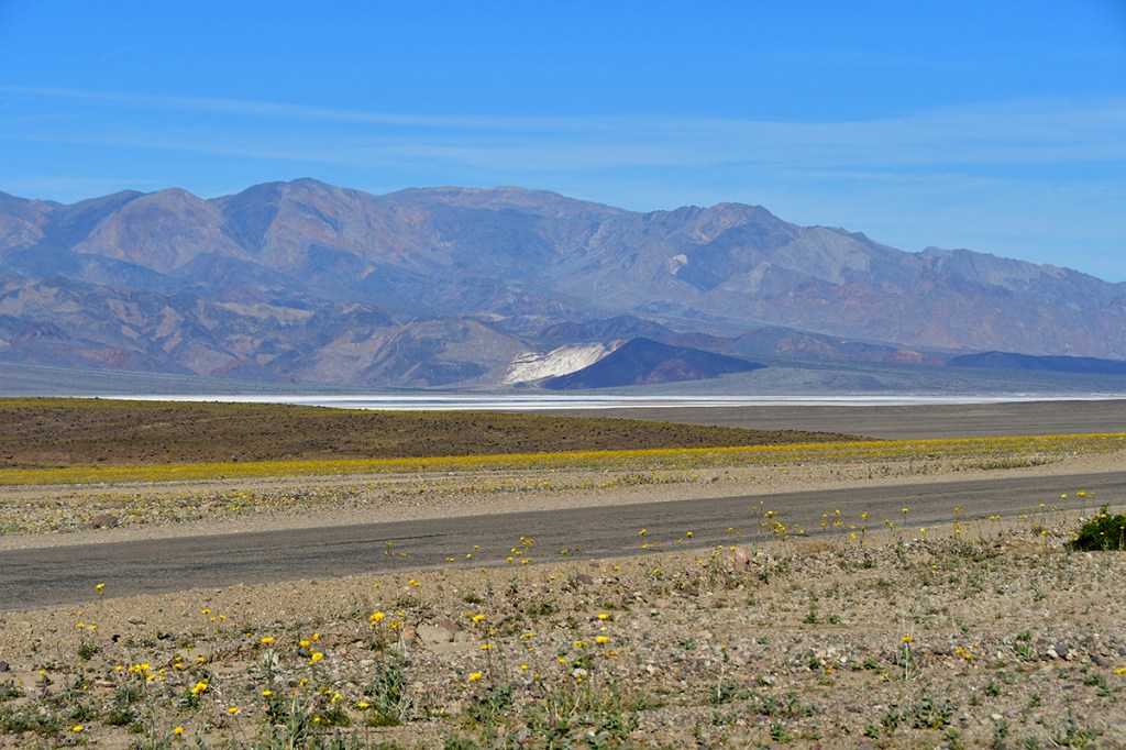
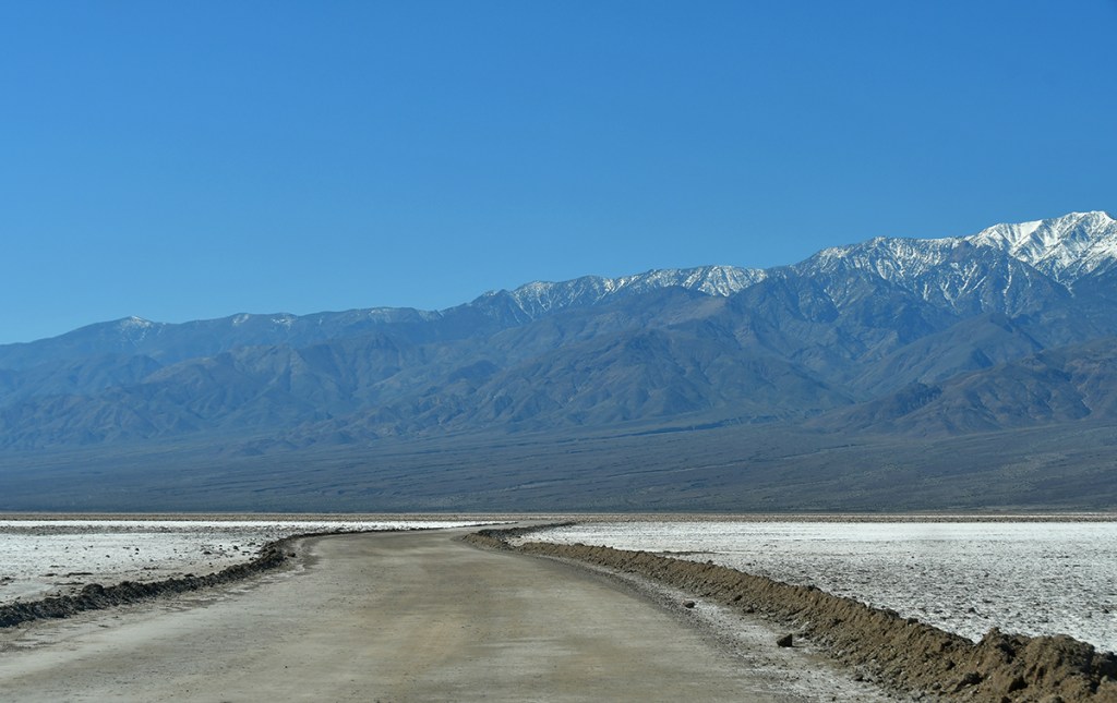
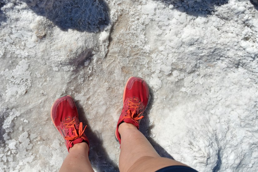
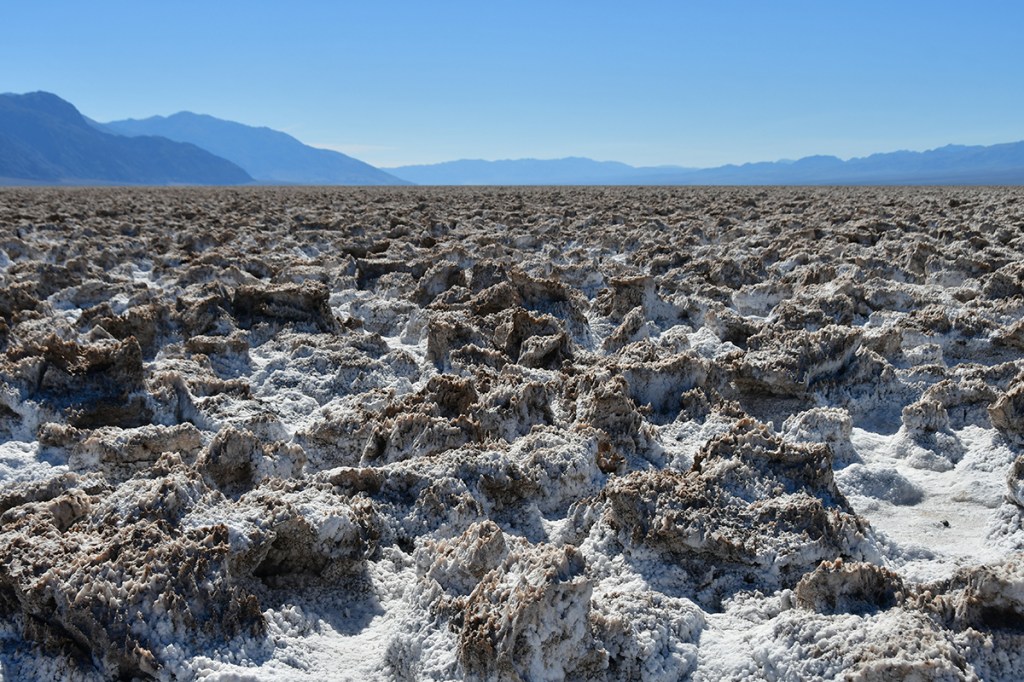
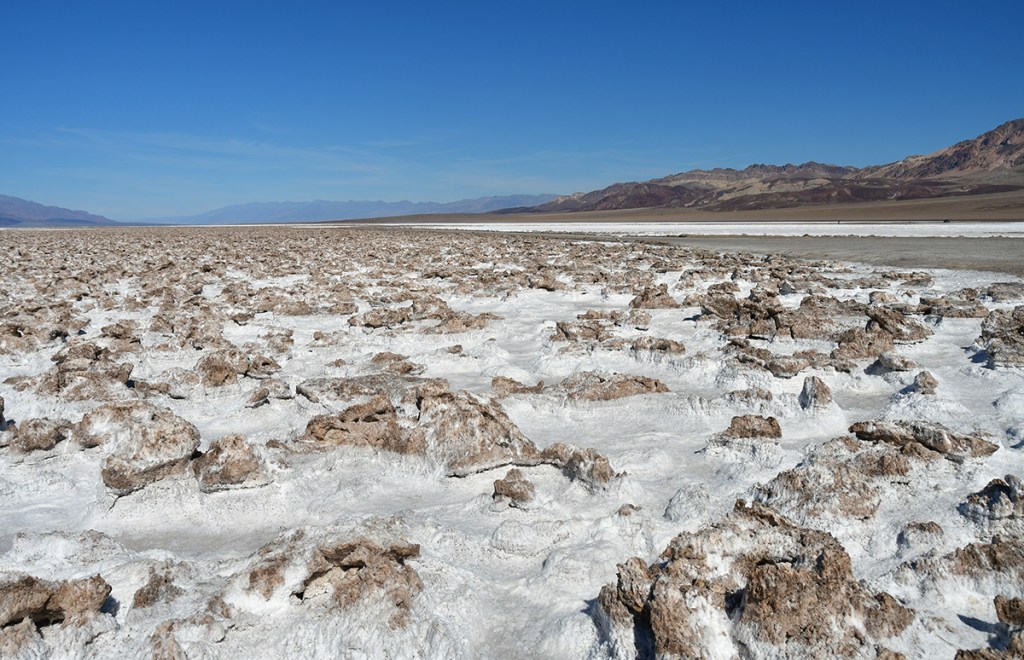
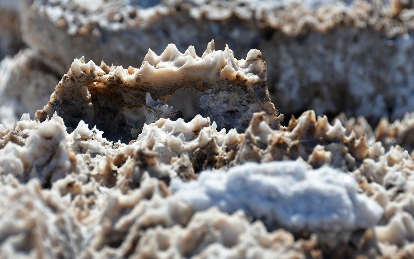
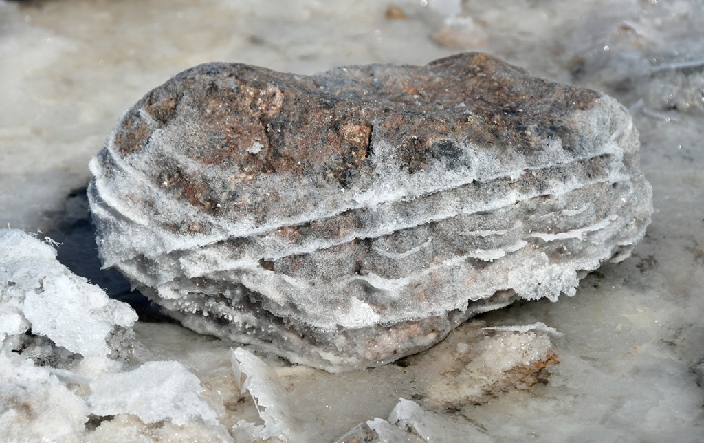
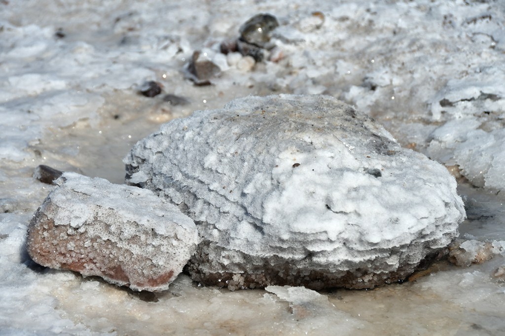
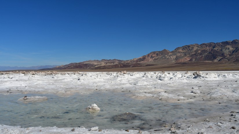
Next up was Devils Golf Course, and another special item checked off my list of all the things to experience: the lowest elevation road in the United States! I’ve driven and cycled the highest paved road in the U.S., Mount Blue Sky Scenic Byway, which reaches 14,130 feet. The road out to Devils Golf Course is -277 feet!

A dirt road leading towards majestic snow-capped mountains under a clear blue sky, with a flat salt pan in the foreground.
Heading down on the bumpy road to Devils Golf Course. The first half was pothole city, but then it smoothed out.
Panoramic view of rugged mountains under a clear blue sky, with a barren landscape in the foreground and a white salt flat visible.
Ohhh… where does THAT road go?! Death Valley National Park is a wonderland for overlanders and explorers of dirt roads. I’d love to come back in my Subie!

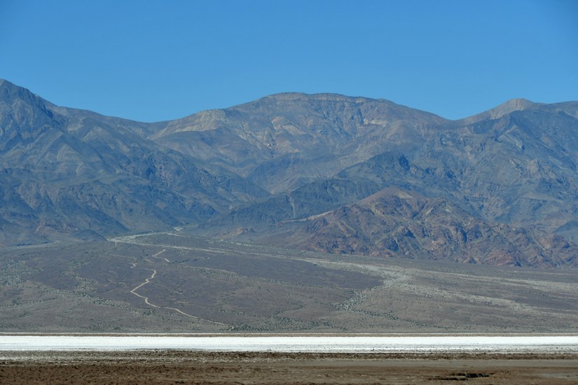
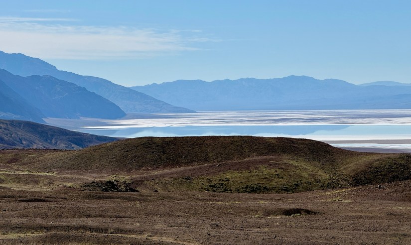
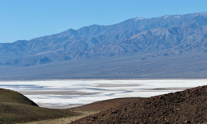
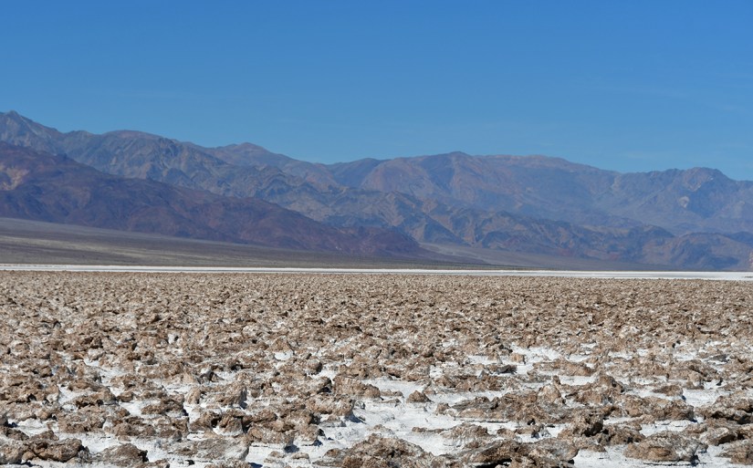
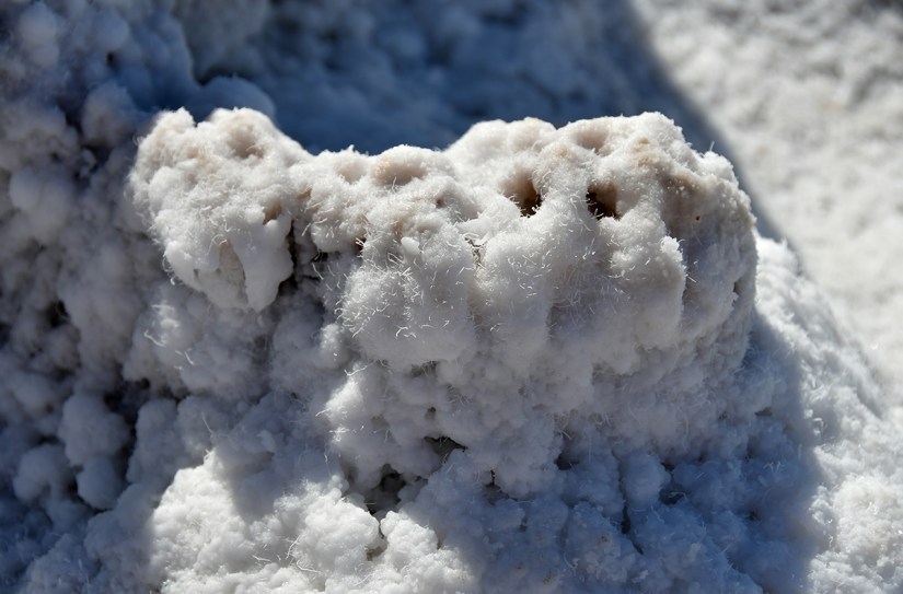
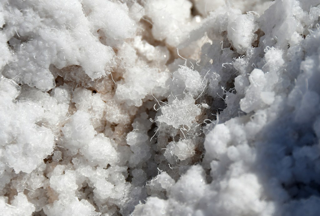
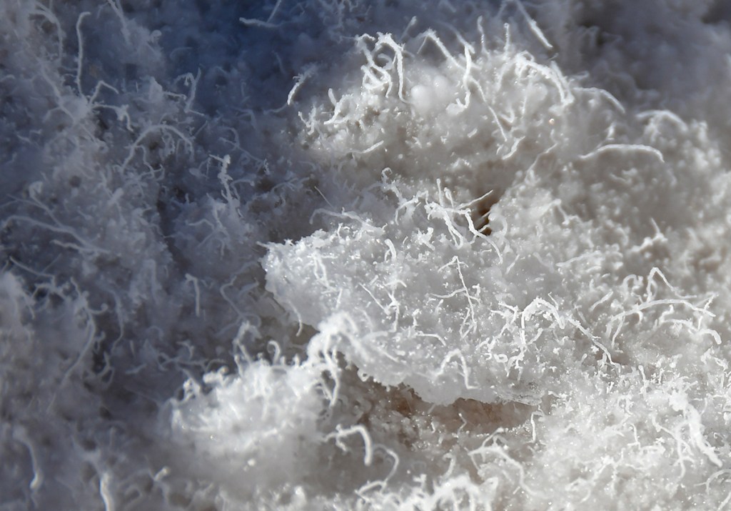
Devils Golf Course is a salt flat that has been eroded, leaving sharp spires and mounds. One hell of a place to not play golf! I loved getting up close to the salt crystals, and it is possibly to carefully pick your way around them to walk out as far as you wish. I will caution that sunglasses are absolutely necessary as it is painfully bright in full sun reflecting off the white salt flat!

A view of a vast salt flat with rocky formations, set against a backdrop of mountains under a clear blue sky.
My type of golf course
Close-up of a textured, white mineral formation resembling salt crystals, with a rough and fluffy appearance.
The panoramic views were great, but I liked getting up close
Feet wearing bright red athletic shoes standing on a white, salt-covered surface.
I cannot express how obnoxiously bright this area was in full sunlight!
Close-up of textured rock formations with a combination of white and brown mineral deposits, showcasing uneven surfaces and natural patterns.
Miniature salt castle
A person performing a yoga pose on rocky terrain with mountains and a clear blue sky in the background.
High stakes place if I loss my balance!
Snow-covered mountain peaks against a clear blue sky.
Couldn’t resist getting this view of Telescope Peak, which sits about 11,500-ish feet above us!
A panoramic view of a salt flat with shallow pools of water, surrounded by rocky mountains under a clear blue sky.
A bit of water forming one hell of a salty pool

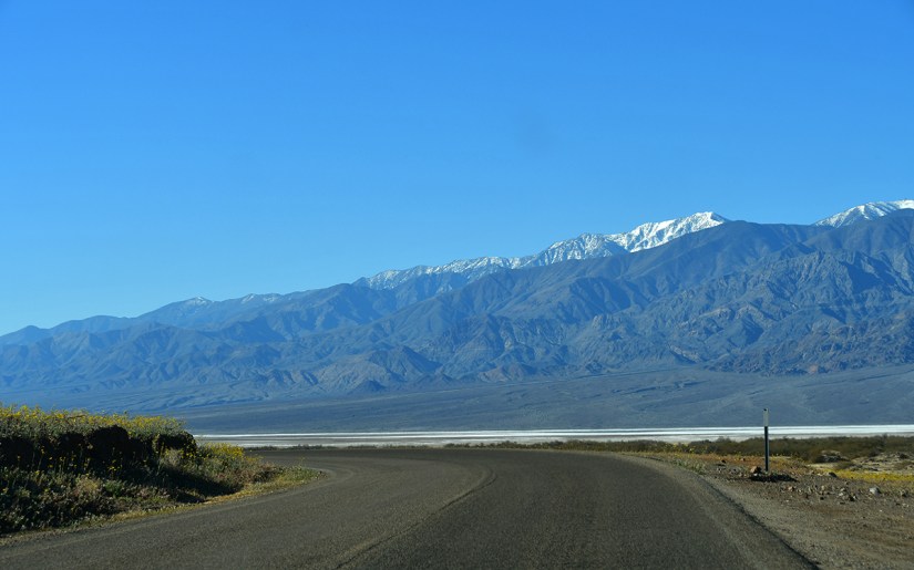
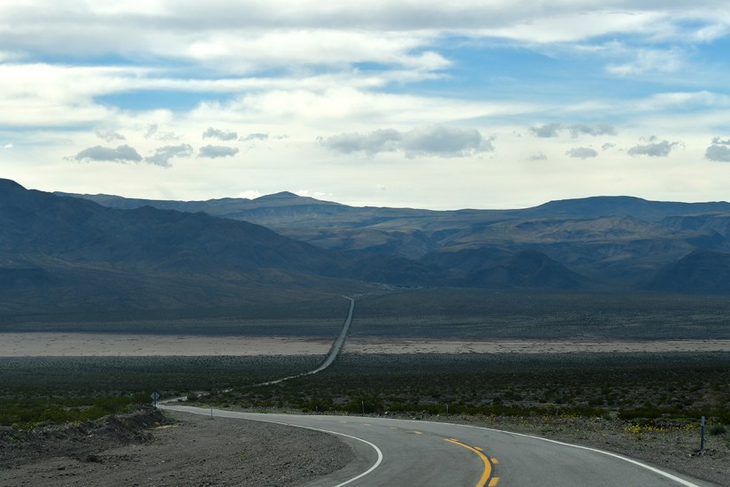
After our devilish experience at the lowest point you can drive, we were excited to spend a bit of time in the air conditioned car. After a very pricey fill up (gas was over $5/gallon at Furnace Creek), we headed north towards Stovepipe Wells, another small settlement in the national park. Our day in Death Valley National Park was slowly wrapping up, but we’d have a gorgeous drive and a few more hours to spend.

A scenic view of a winding road leading through a barren landscape with colorful layered mountains and a clear blue sky.
Heading north towards these fantastic layers!
A vibrant landscape featuring rolling hills with various shades of brown and cream, dotted with a field of yellow wildflowers under a clear blue sky.
Oh look, more flowers!
Expansive view of desert landscape with mountains in the background under a clear blue sky.

A winding road surrounded by desert landscape and mountains under a clear blue sky.
The roads in Death Valley are very “whoopy” and Lindsey and I spent a lot of time laughing and also screeching about our organs feeling like they were dropping out of our bodies.
A view of undulating desert terrain with sparse vegetation and distant mountains under a clear blue sky.

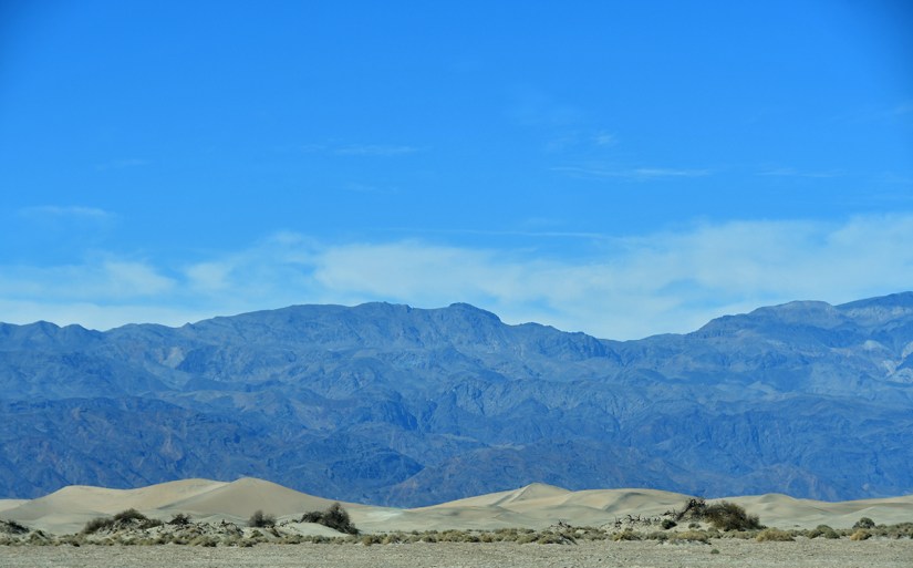
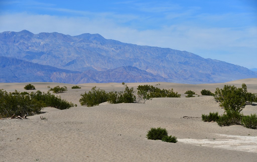
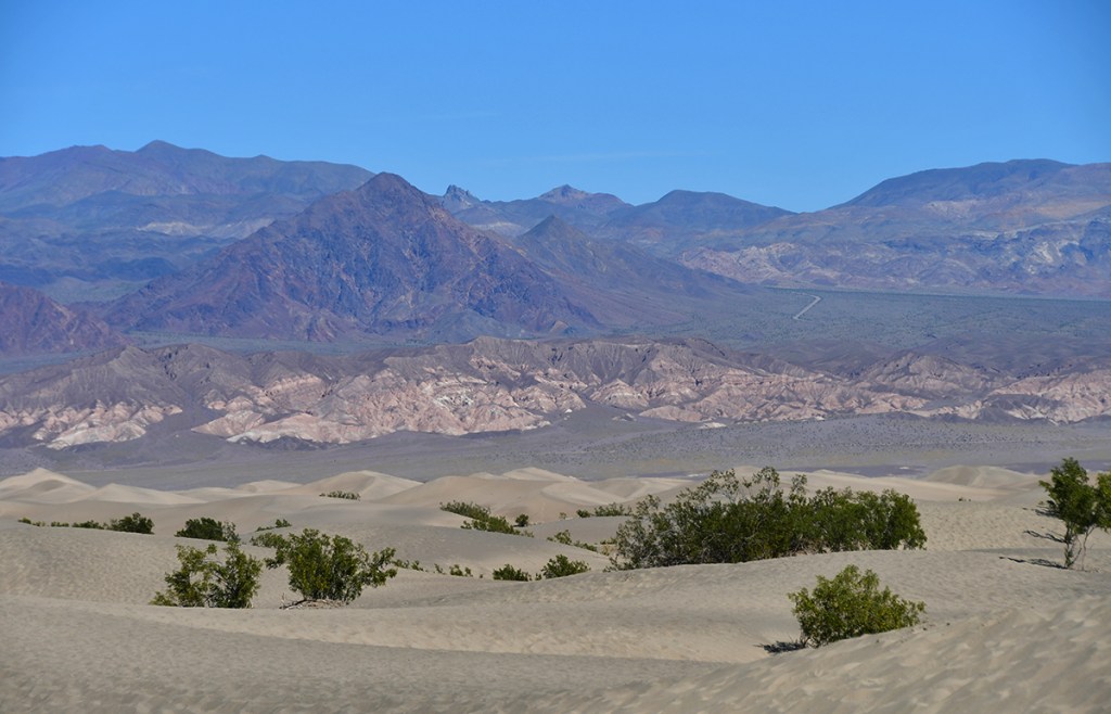
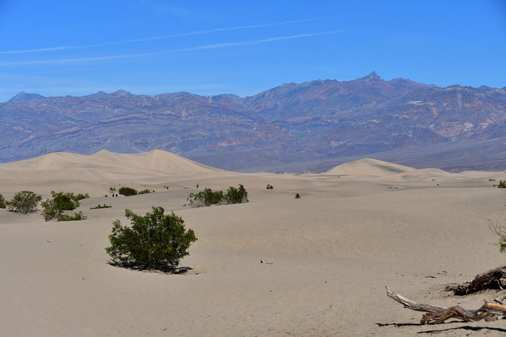
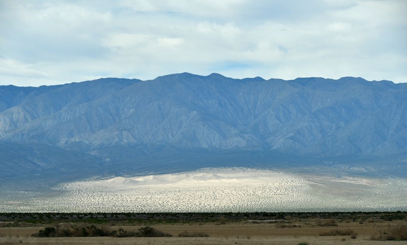
My scratch off poster of “100 Greatest National Parks Hikes” included Mesquite Flats Sand Dunes, so that stop was up next. I am not sure what was going to count as a hike, and it was sweltering hot (over 90 at this point), but we settled on a short jaunt out on the sand dunes. I’ve read in various places that in the summer months people will have their shoes melt, and though I am unsure how true this is, it seems plausible as the sand was hot even during our visit.

A scenic view of mountains against a clear blue sky, with sandy dunes in the foreground.
Approaching Mesquite Flats
A vast desert landscape with rolling sand dunes, sparse vegetation, and distant mountains under a clear blue sky.
Some people had cut off a massive cardboard moving box and was using it for sledding, which looked fun!

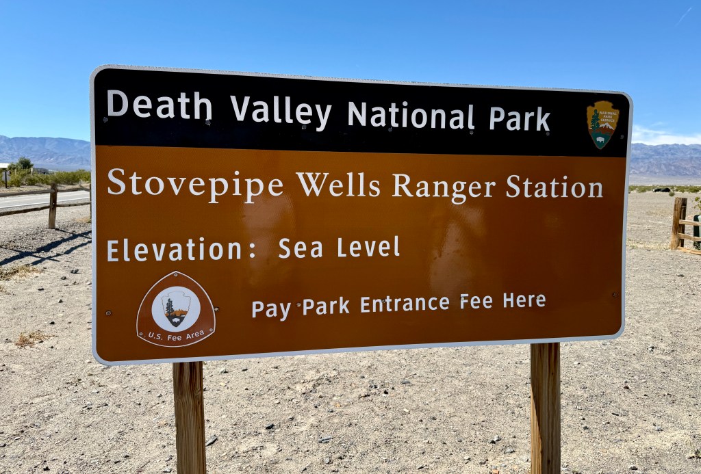
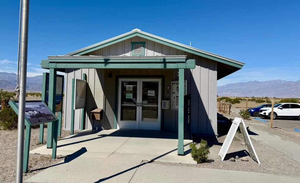
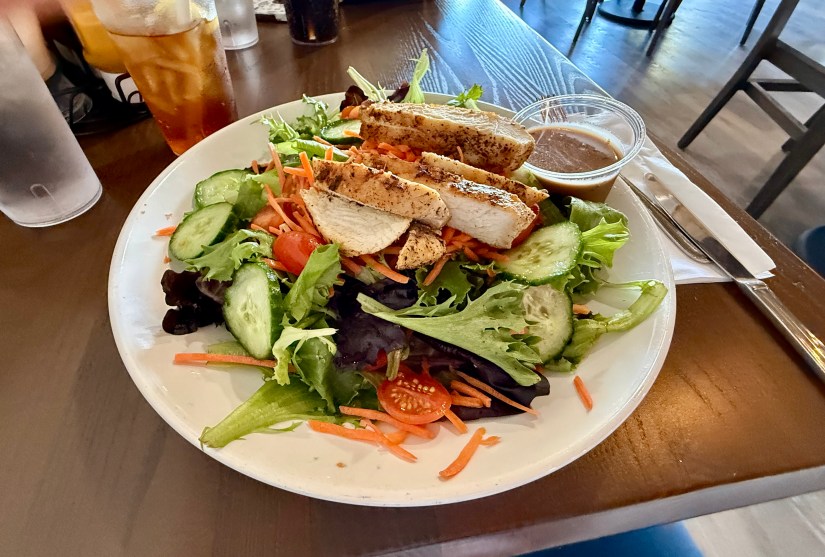
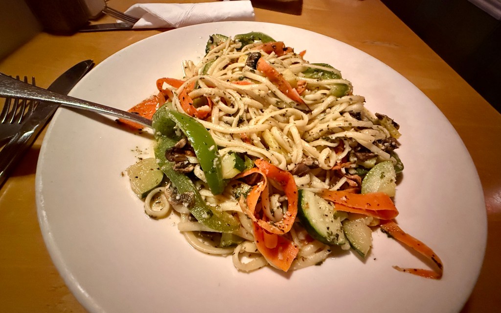
Stovepipe Wells is just a short distance from the sand dunes. First stop was the ranger station for passport stamp and a unigrid for Lindsey, and then we popped into the general store for one last Death Valley postcard buying spree. Lunch was at The Toll Road Restaurant, which was a very pleasant surprise as the food was very good!

Sign explaining that due to high temperatures in Death Valley, cold water from sinks and showers may come out hot.
Every day problems in the hottest place on Earth
A plate of salad topped with grilled chicken breast slices, featuring lettuce, cucumbers, tomatoes, and shredded carrots, accompanied by a small container of dressing.
My awesome salad at The Toll Road Restaurant! This is probably the best I have ever eaten on an adventure trip.

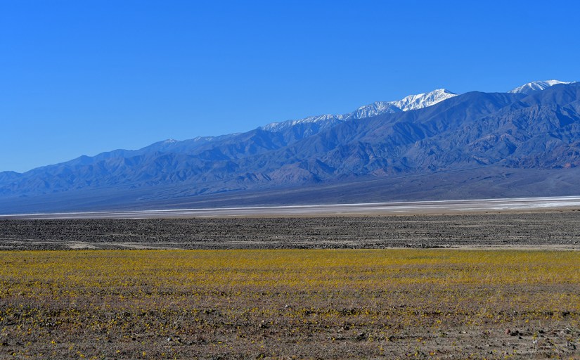
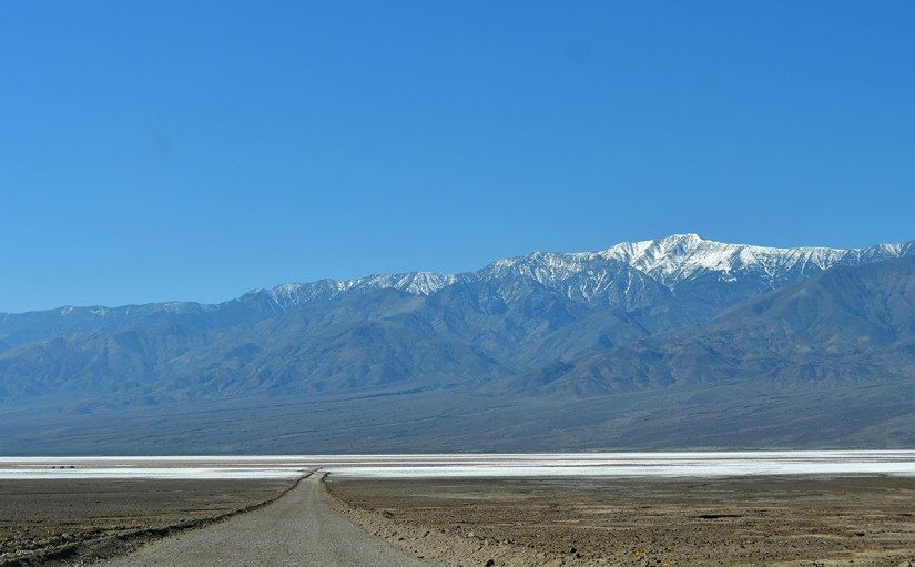
With bellies full, we left the lowest place in the country to climb several thousand feet in elevation towards the Eastern Sierra. Here we come, Lone Pine!

A scenic view of mountains under a blue sky with scattered clouds, featuring green vegetation in the foreground.
Ascending westword
Road sign indicating 'Towne Pass Elev 4956 ft' with an additional sign that says 'Park Off Pavement' next to a hilly landscape.
Towne Pass. Death Valley National Park can give you elevational whiplash so easily. Weren’t we just at -277 feet?!
A scenic landscape featuring rolling hills in the foreground and distant snow-capped mountains beneath a cloudy sky.
Be still, my heart!
Mountain landscape with rocky terrain under a blue sky with scattered clouds.
I was loving the views!
A winding road stretching through a vast desert landscape, surrounded by mountains under a cloudy sky.
Descending into Panamint Valley, and another road that is straight as an arrow.
Wide view of a desert landscape featuring mountains in the background and sparse vegetation in the foreground.
Panamint Valley
A panoramic view of mountain ranges in the background with a sandy area in the foreground, under a cloudy sky.
Panamint Dunes
A rocky hillside covered with yellow wildflowers under a blue sky with some clouds.
Brittlebush! I first learned what this plant was a few months ago on a short hike on the Pacific Crest Trail near Palm Springs.

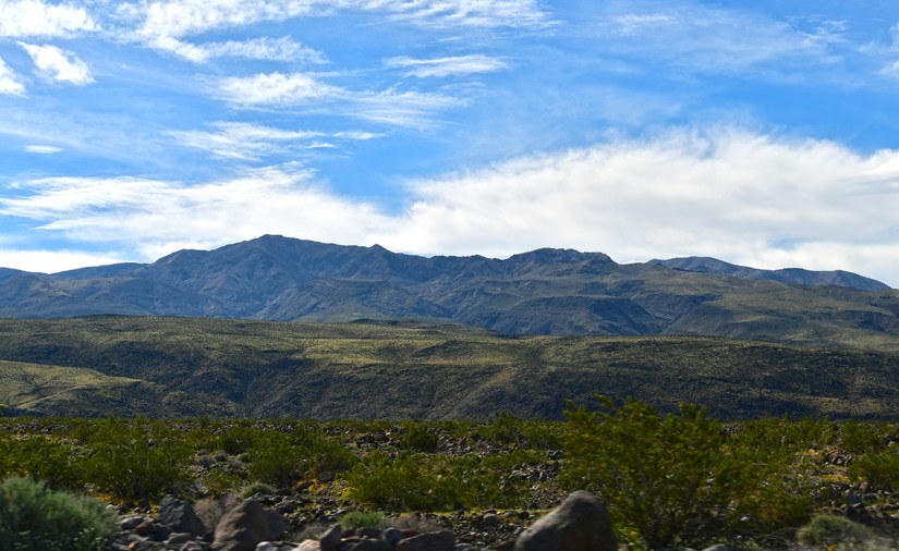
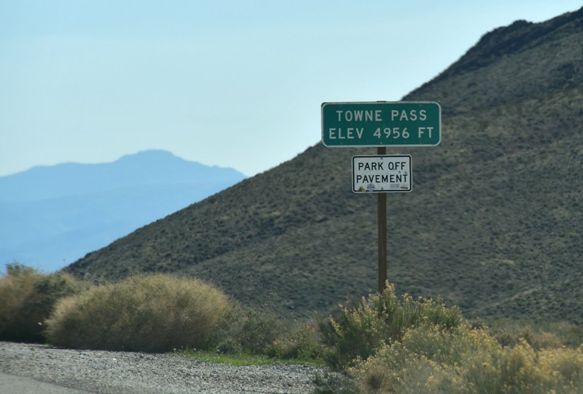
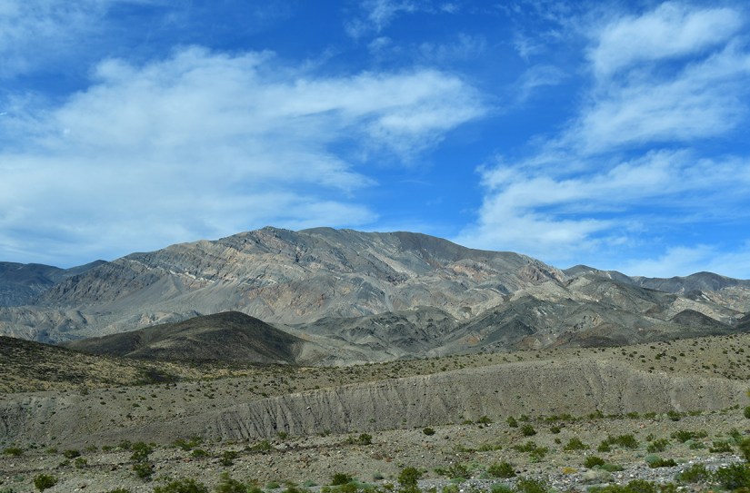
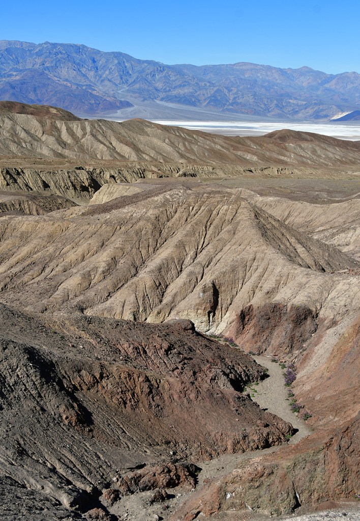
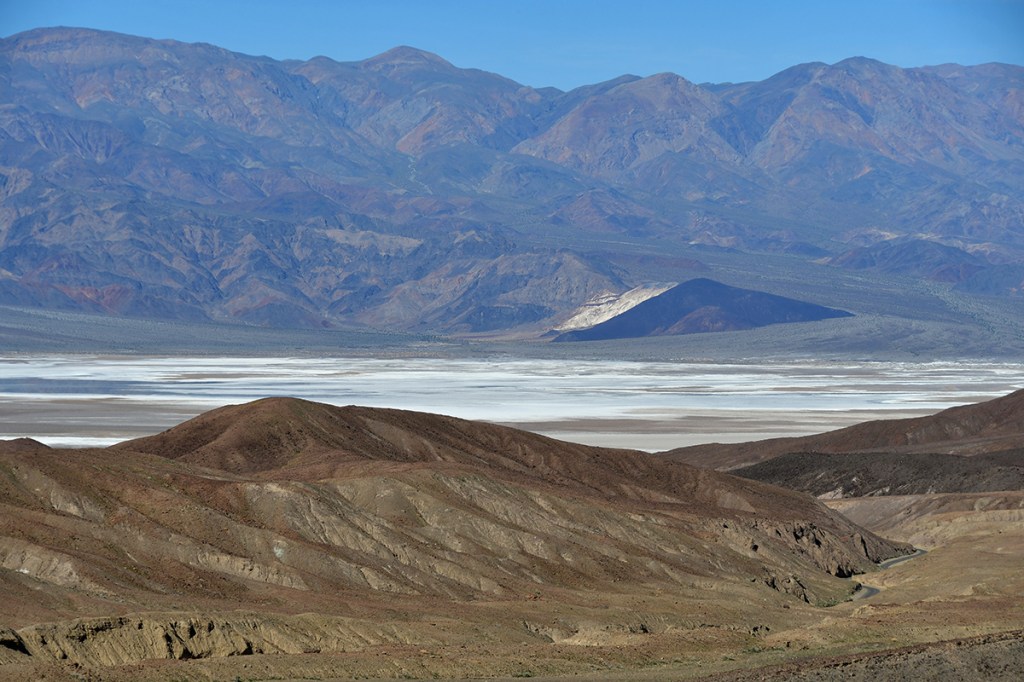
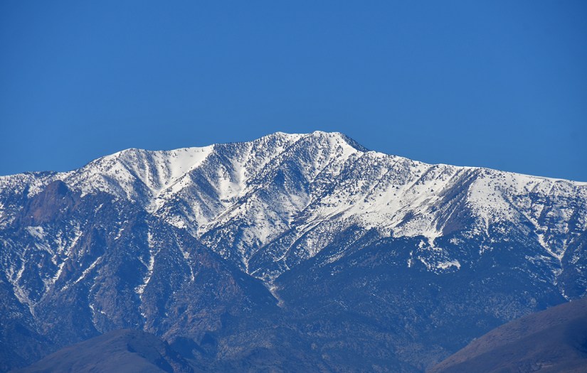
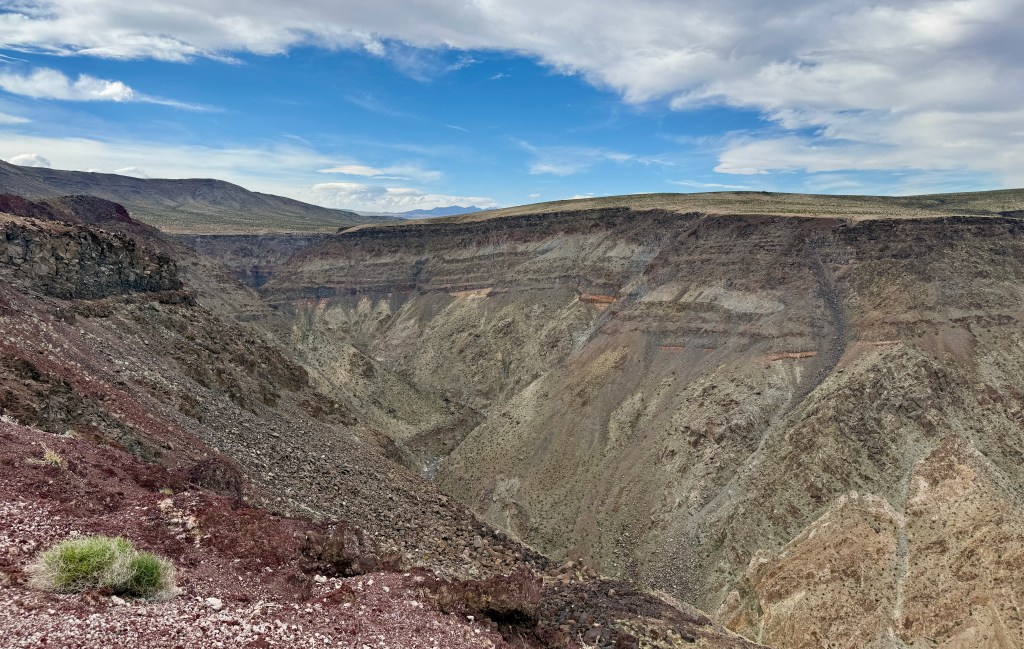
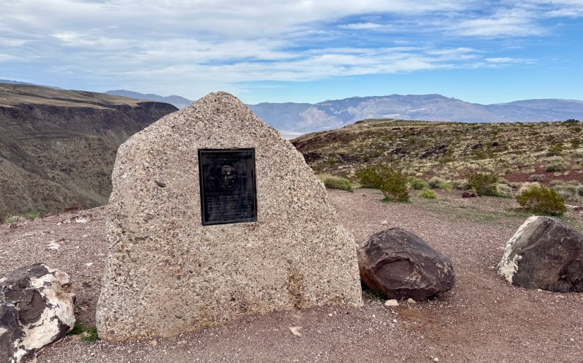
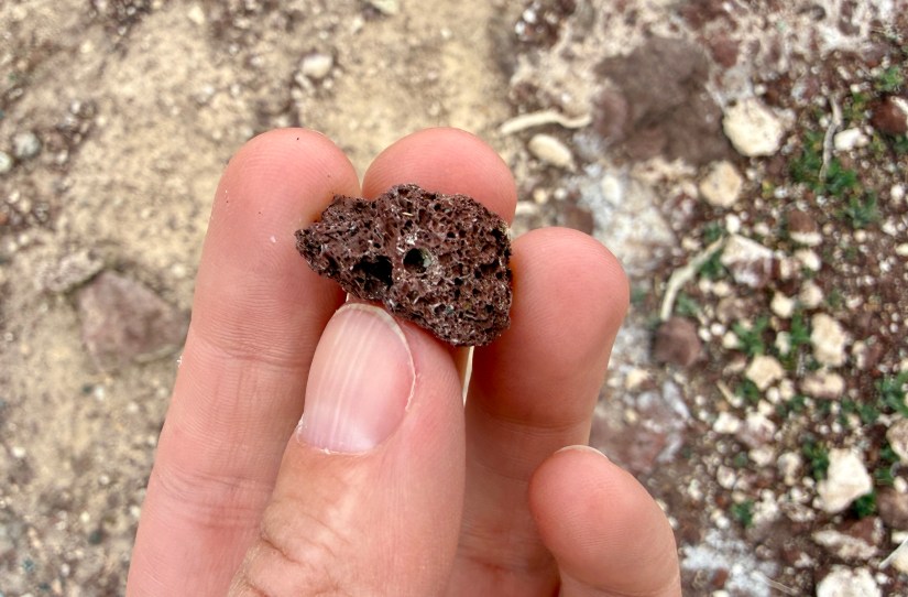
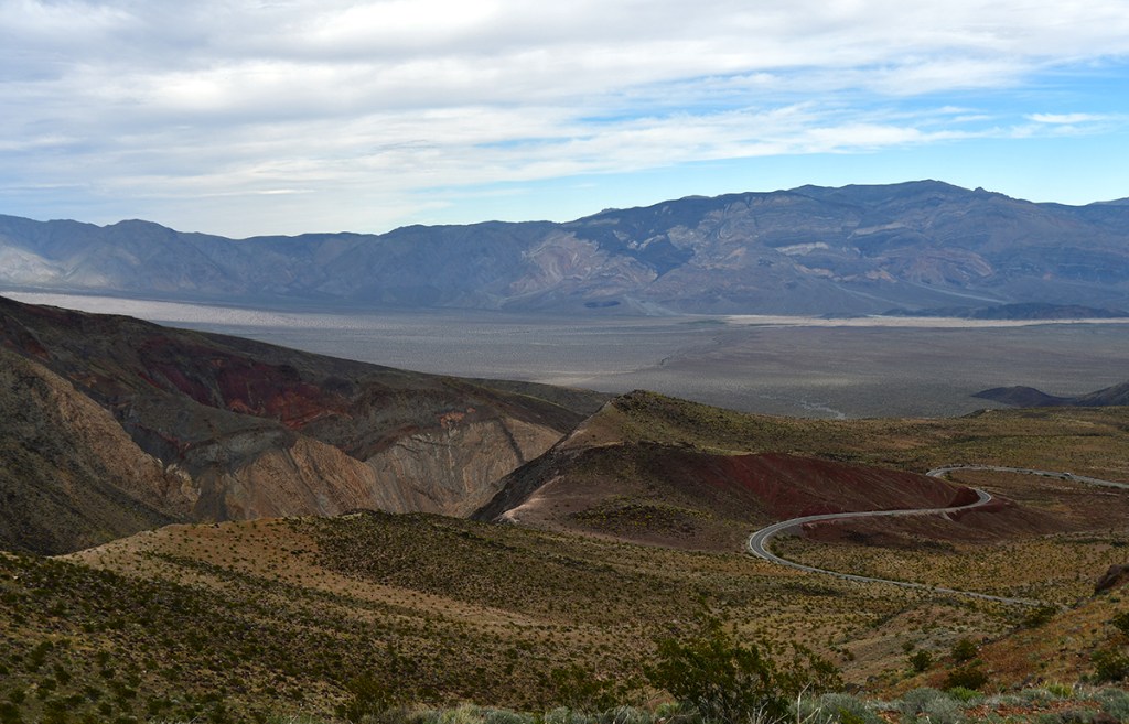
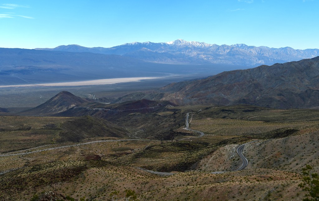
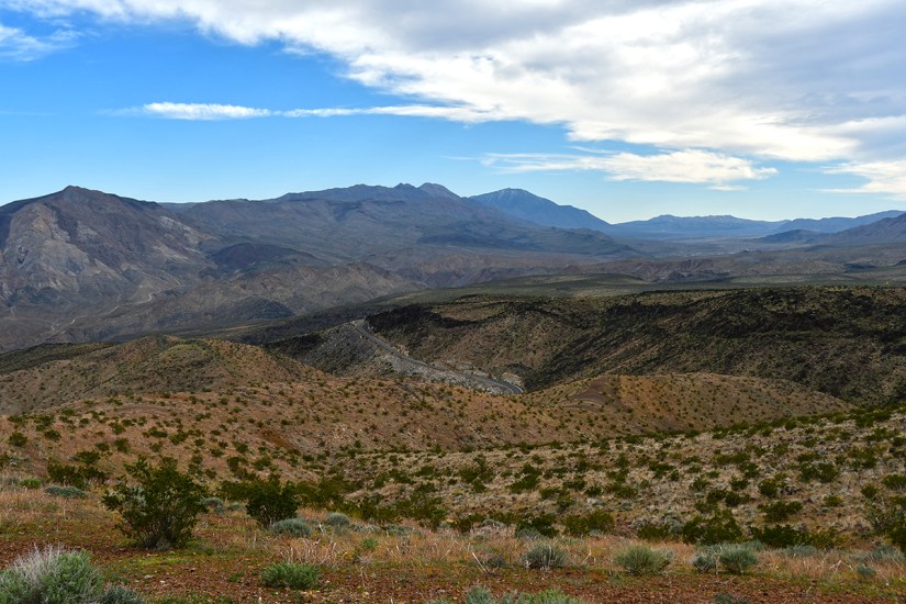
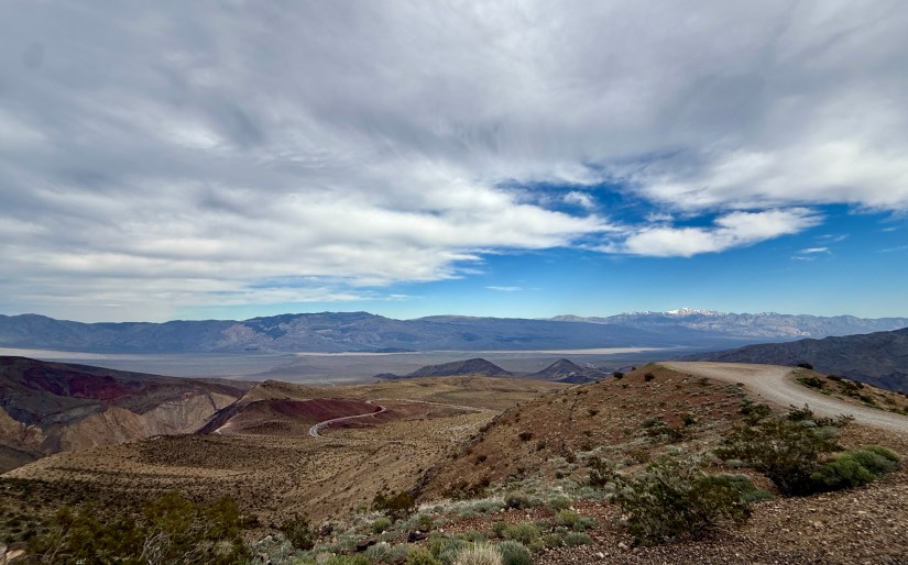
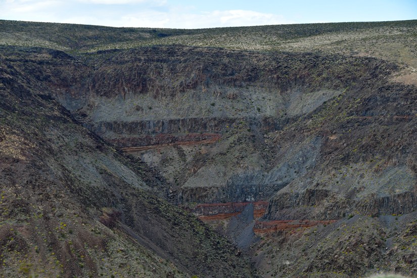
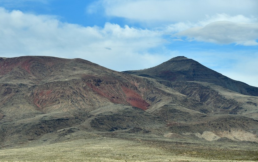
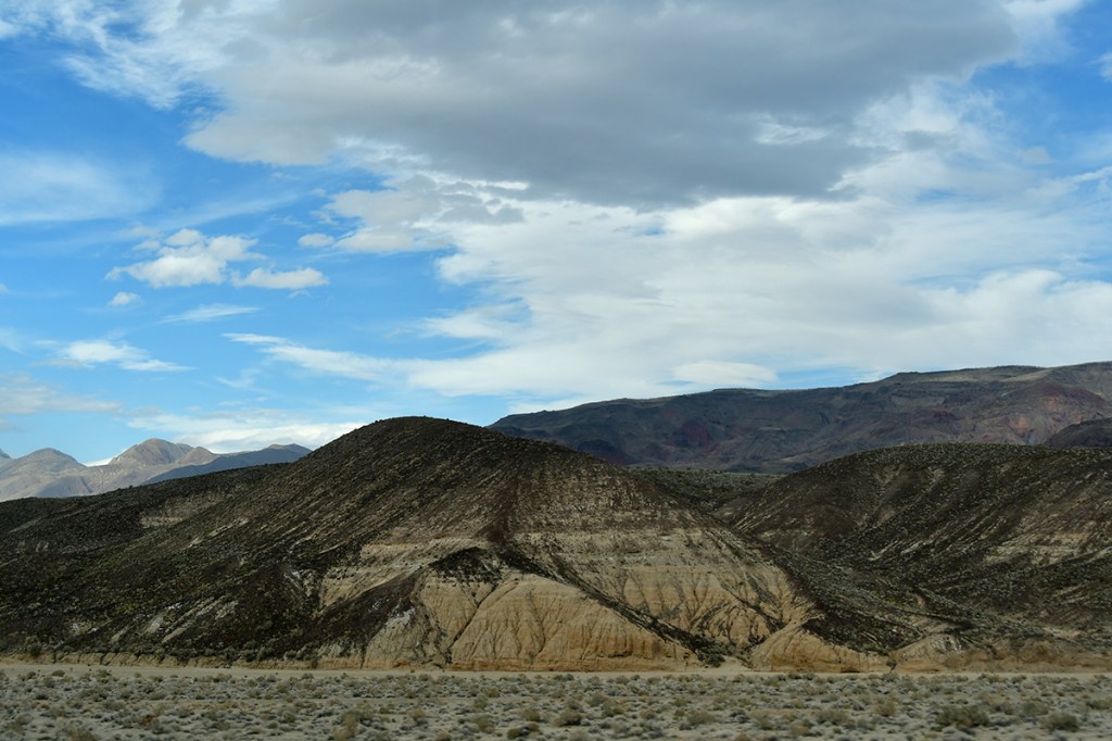
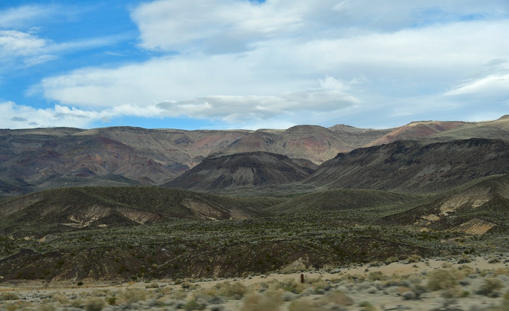
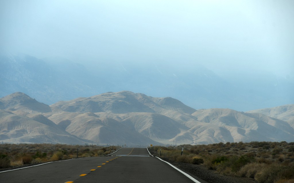
Yes, Lone Pine, we are on our way… but not without admiring volcano stuff first! I had no idea how volcanic the landscape could be in western Death Valley, and I was here for it. Father Crowley Vista Point was one of my favorite spots on this entire trip, with a panoramic view into Rainbow Canyon, and beyond to the Panamint Valley and Telescope Peak. After laughing about some boisterous youth talking about how their uncle has applied to become a saint (wait, is this how it works… just an application?!), we drove a short dirt road out to Padre Point which would make one hell of a campsite if it was legal to do so!

A prominent stone monument with a bronze plaque on a rocky landscape overlooking mountains and blue sky.
“Father Crowley Vista Point was a favorite stopping place for travelers, long before the creation of Death Valley National Park. One of those travelers was Father John J. Crowley, a catholic priest responsible for ministering to the people of Inyo County Parish in the 1930s.The Desert Padre, as he was known, would often stop here to admire the views on his way to or from visiting parishioners in Death Valley, and his home in Lone Pine, CA. ” – National Park Service
A panoramic view of a desert landscape featuring sparse vegetation in the foreground, with snow-capped mountains towering in the background under a clear blue sky.
Telescope Peak view, this time looking at the western side.
A person holding a piece of volcanic rock, showcasing its porous texture and brown color against a sandy and rocky background.
Pumice!
A vast desert landscape featuring rolling hills, rocky mountains, and sparse vegetation under a partly cloudy sky.
It’s worth mentioning it was much cooler at this elevation, if not feeling a bit chilly! So not only is there elevation whiplash in Death Valley, there is temperature whiplash!
Scenic view of rugged mountains and valleys under a partly cloudy sky, with a winding dirt road visible in the foreground.
Wouldn’t this make an awesome campsite?! Camping is not allowed here, but one can dream!
A white SUV parked on a gravel path surrounded by a hilly, green landscape with scattered shrubs and a rocky background under a partly cloudy sky.
Figured our trusty rental car could use a glamor shot
A view of a rugged canyon landscape showcasing layered rock formations and steep slopes, with sparse vegetation on the hillsides.
These basalt layers with the red bands reminded me of Hengifoss in Iceland!

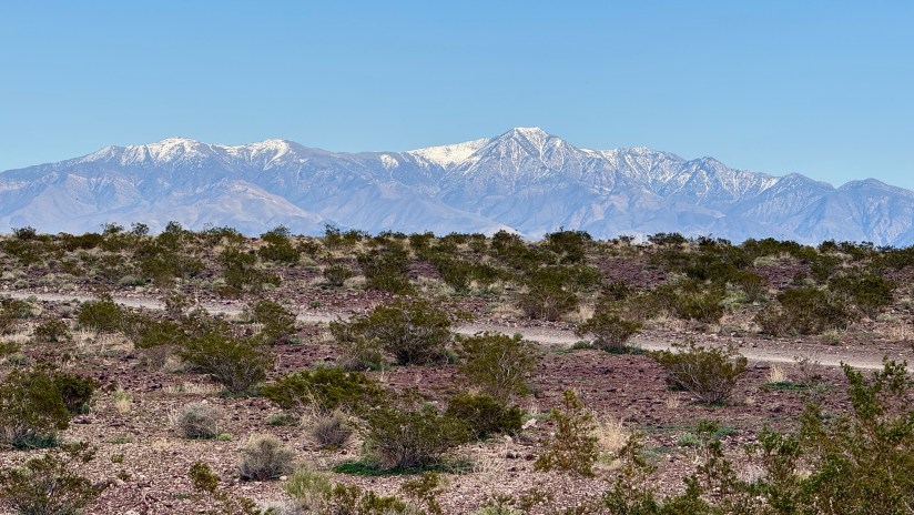
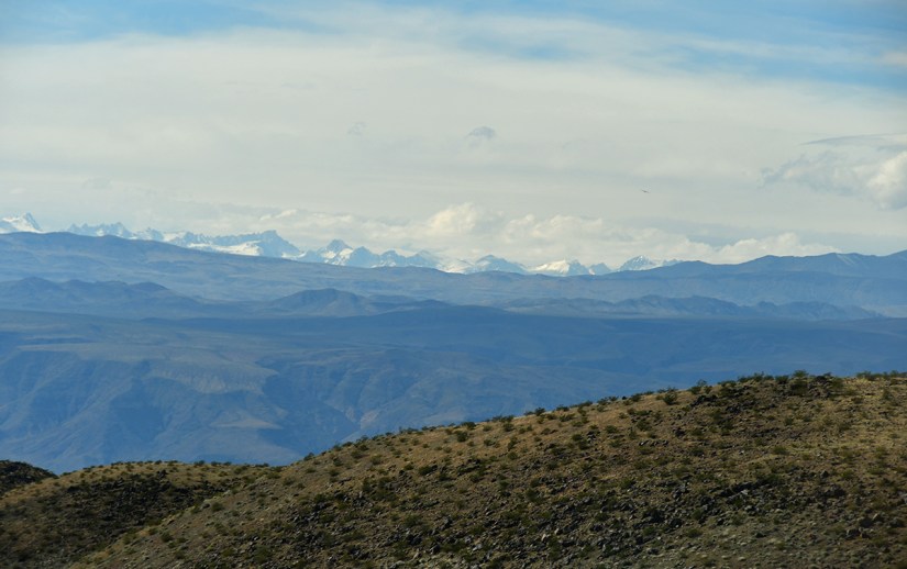
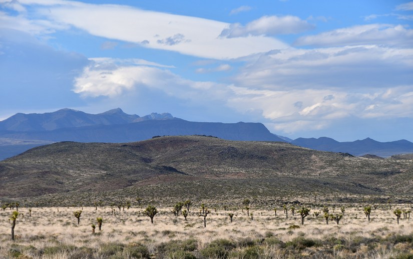
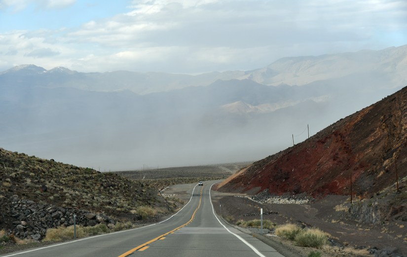
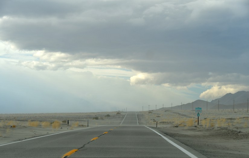
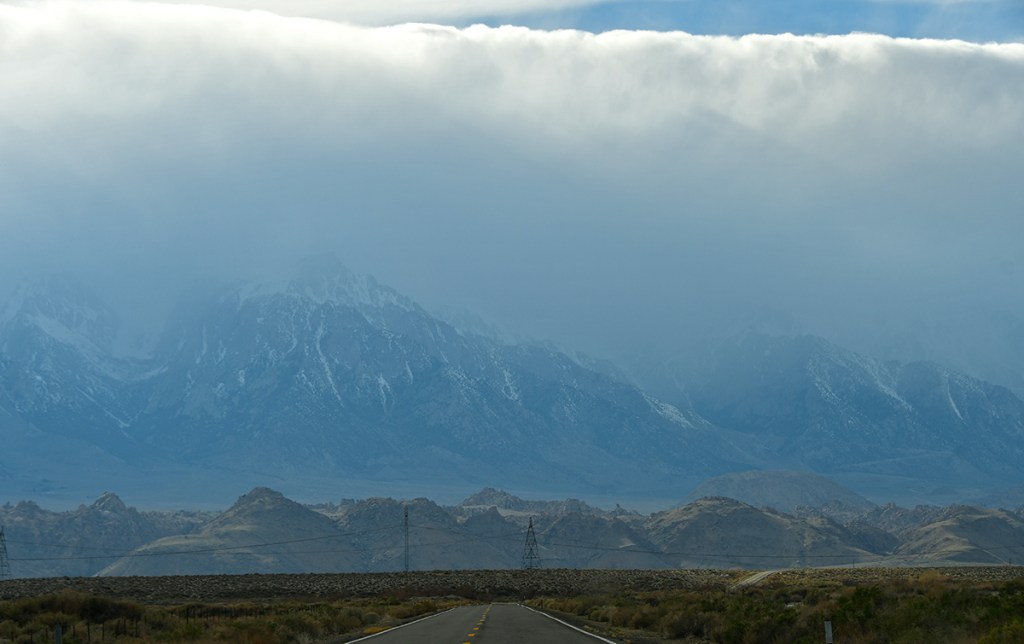
From the vista point, we entered the land of Joshua trees, and found ourselves leaving the national park. We descended into a stormy Owen Valley, with clouds obscuring views of The Sierra, and one of my biggest mountain muses, Mount Whitney. Winds whipped sand, dust, and whatever else it could pick up across the road.

A winding highway through a desert landscape with mountains in the background and a blue sky.
So much of the landscape over the last hour or so in the car reminded me of Iceland… at least, a very dry Iceland. This part harkened me back to lonely roads in the Westfjords. It all felt so familiar in a good, but strange, way!
A panoramic view of a desert landscape featuring low hills, scattered vegetation, and distant mountains under a partly cloudy sky.
Joshua trees!
Dramatic mountain landscape with layered, rocky terrain and patches of red earth under a partly cloudy sky.
Seriously… a dry Iceland!
A winding road leads through a mountainous landscape, with mist rising in the background and rocky hills on either side.
Descending into a dust storm in Owen Valley
A long, straight road stretching into the distance under a cloudy sky, with mountains faintly visible on the horizon and a few roadside signs.
The blowing sand was no joke!
A view of a highway with mountains labeled in the distance, showing names and elevations of various peaks.
At least PeakFinder could identify the mountains behind the clouds

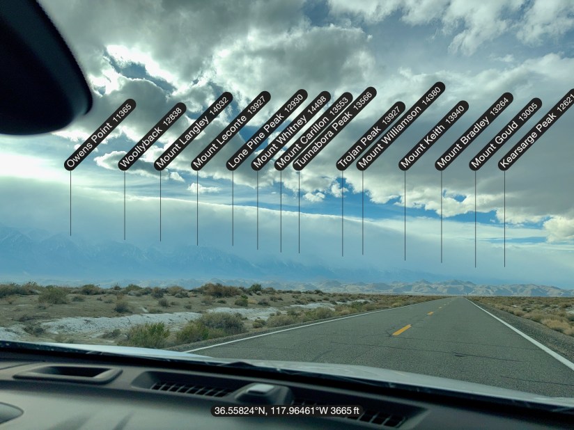
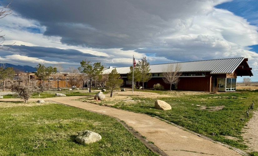
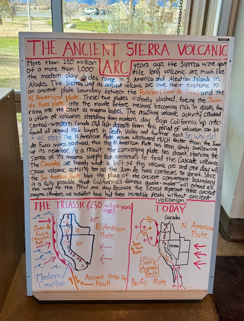
We made it to the Eastern Sierra Interagency Visitor Center forty-five minutes before closing, so we did our usual run through the gift shop, which is impressive (and I bought my one and only book of the trip!). The exhibits were great, and I enjoyed the one explaining the volcanic arc, which answered a lot of my questions I had earlier in the day. We capped off the visitor center with me offering the park ranger a $21,000 bribe for a Mount Whitney permit… yes, I literally did this. No, he did not accept it (thankfully, for my credit card’s sake). Him and I enjoyed a great chat, as he’s a ranger in Yellowstone during the summer. I felt kinda comforted about my chances in this year’s permit lottery when he said “wait, you haven’t won after three tries?!” Or was it apprehension? I may just be the unluckiest person ever when it comes to securing a Mount Whitney permit.

A view of a modern building with a metal roof set amidst green grass and scattered rocks, with a pathway leading to the entrance and trees around; a flagpole stands on the property, and dark clouds dominate the sky.
Eastern Sierra Interagency Visitor Center is a combined effort of the US Forest Service, National Park Service, Bureau of Land Management, and Sierra Forever, and has all the info for all the things surrounding Lone Pine.

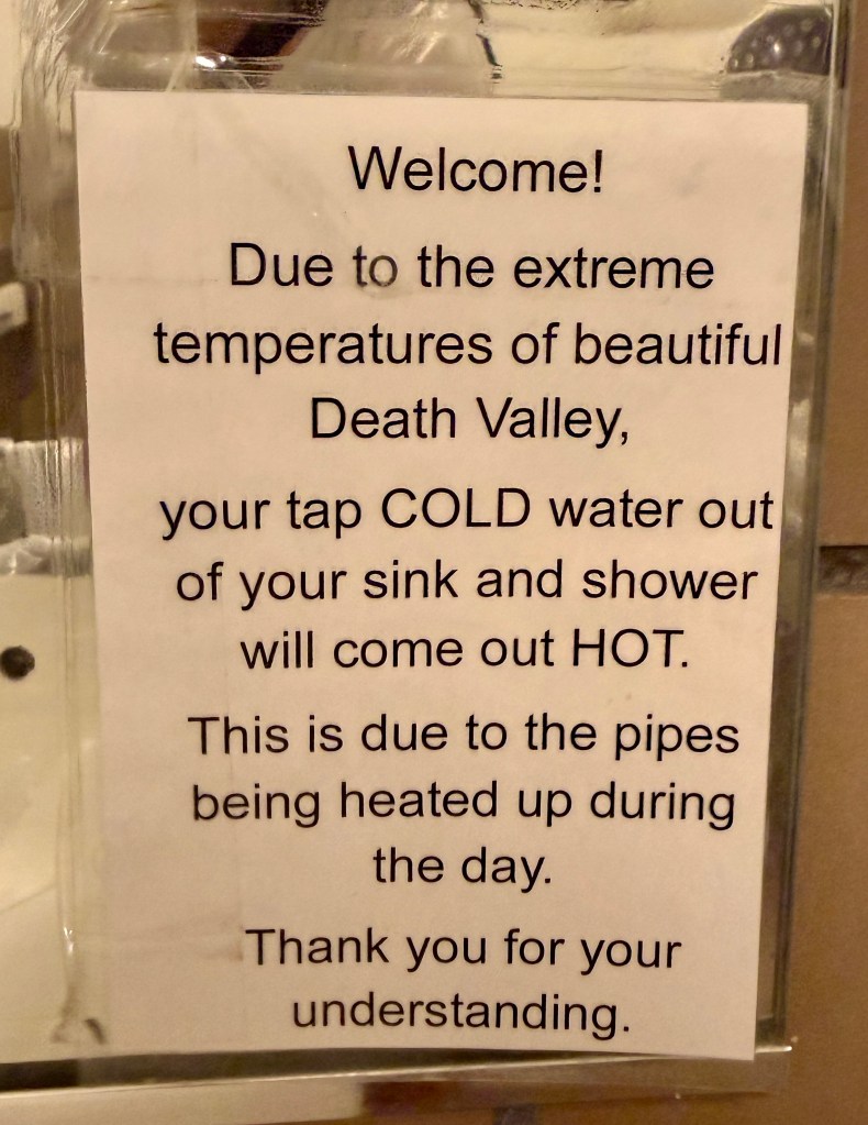
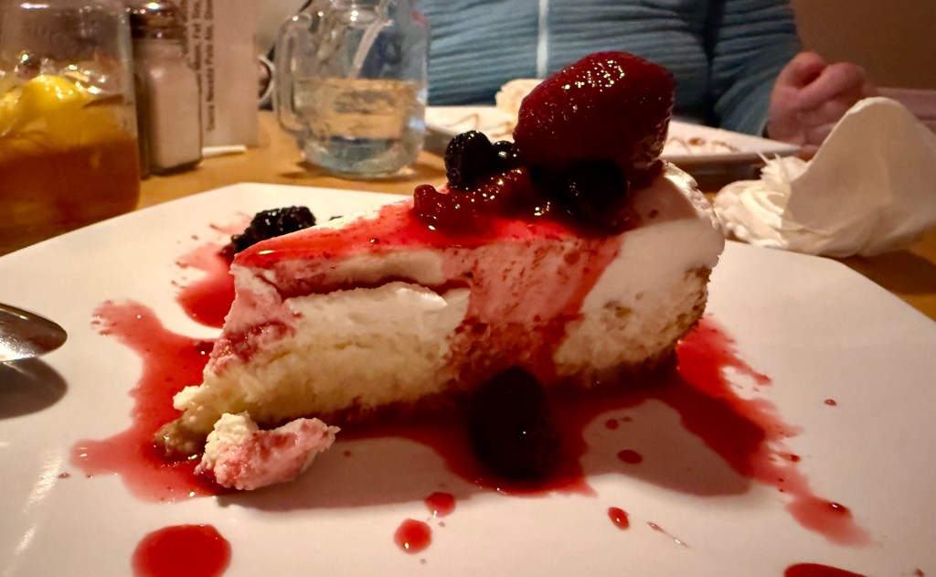
After a sweltering night in a tent at Furnace Creek, Lindsey and I were excited for two nights in the comfort of central air conditioning and queen beds at the Best Western (which was a lovely hotel and we had a great stay!). We checked in shortly after 4:30 and enjoyed some time relaxing, writing postcards, and catching up on what was going on in the world before finally heading to dinner at The Grill.

Utterly exhausted from lack of sleep, high heat, and having a process all the amazingness, bedtime was early and swift. Fingers crossed for clear views to Mount Whitney in the morning!

1 thought on “Salt, Sand, and Sierra Mornings: Day 2 – Surviving Death Valley”

Leave a comment