California, Hiking, National Forests, San Bernardino National Forest, United States

A Taste of the PCT: Snow Creek to San Jacinto Wilderness

Sign marking the Pacific Crest Trail with a mountainous background and clear blue sky.

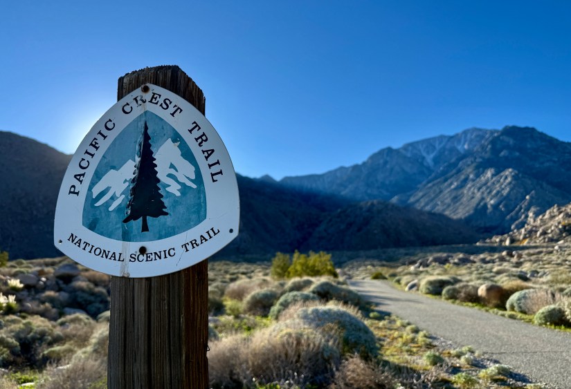
When a work trip took me to Palm Springs, California, I was quick to research activities I could do in the few personal hours I would have. Once I realized the Pacific Crest Trail (PCT) was a mere 15 minutes away from my hotel, I quickly made plans for a pre-dawn hike on a 3.5 mile portion of the trail southbound from Snow Creek.

I’m seriously obsessed with two of the long distance hiking trails in the United States, the PCT and the Continental Divide Trail (CDT). I’ve spent the past few years following various thru-hikers on their YouTube vlogs. While I have slowly ticked off miles on the CDT over the years, the PCT has eluded me (mostly because it is not local to me like the CDT is). I walked a few hundred yards of it in 2024 in Washington, which hardly counts as much. Long story longer… I was super excited to be able to do a short hike on the PCT!

(The U.S. has a third long-distance trail, the Appalachian Trail, or AT. I have zero desire to do much with this trail, probably due to the “green tunnel” and ticks that carry Lyme disease. Sorry AT, but the PCT and CDT are where my heart lies!)

A 5:30am wake up didn’t seem so bad as I reckoned with myself that it was really 6:30am to my body. I threw on my hiking clothes, and stuffed a breakfast bar in my face. I left the hotel in the dark, kicking myself for not bringing a headlamp (turns out I wouldn’t need it).

A silhouette of mountains against a colorful sunrise sky, with a fading gradient from deep blue to orange at the horizon.
Heading to the trailhead

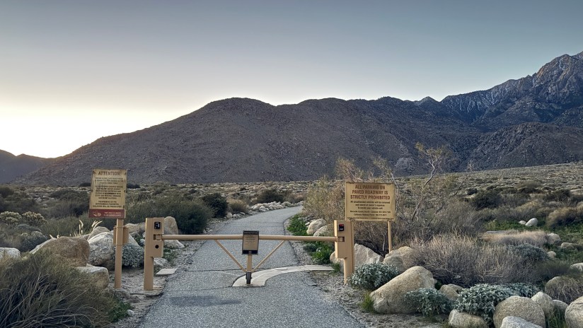
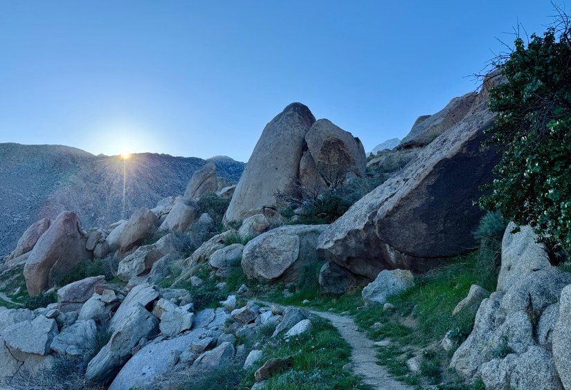
Snow Creek isn’t necessarily an official trailhead, but there is room to park vehicles before entering the private community of Snow Creek. There was enough twilight that I would be able to easily hike along before the sun actually rose. Let’s do this!

Sign for Snow Creek with mountains and desert vegetation in the background during early morning light.
Faint alpenglow as I arrived at the parking area
Sign for Snow Creek Wildlife Refuge with mountains in the background during early dawn.

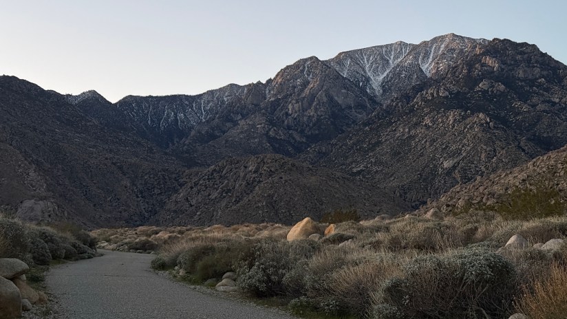
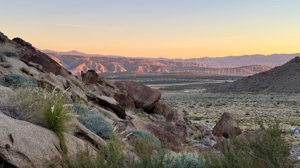
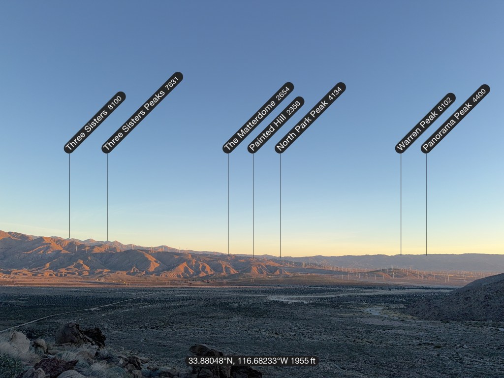
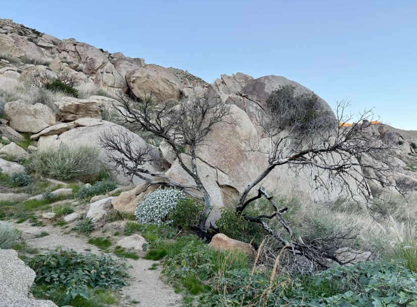
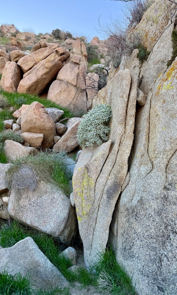
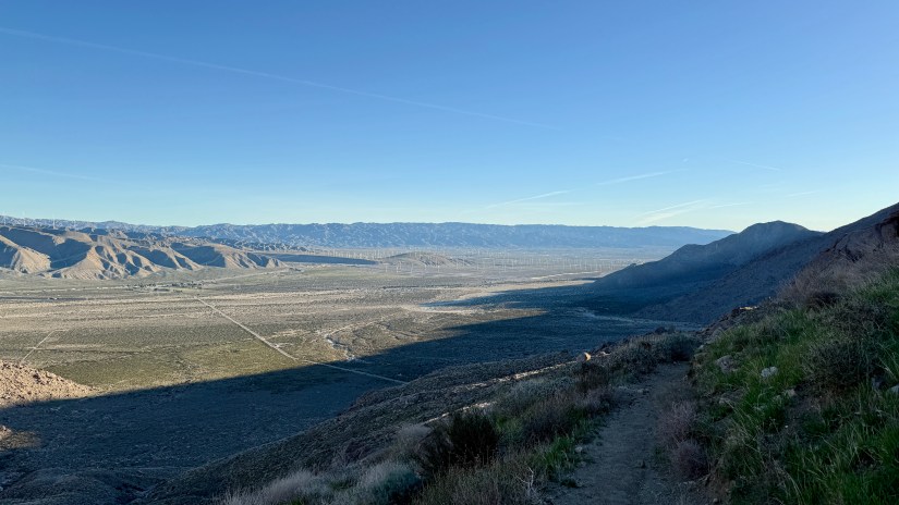
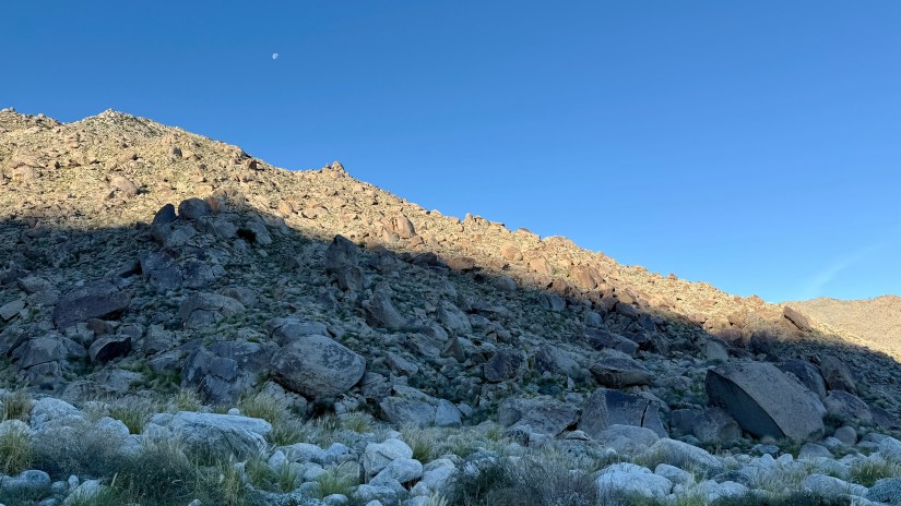
The first mile-ish is along a paved access road (I believe for the water authority?). I sure know how to choose my PCT miles, ha! But what the trail lacked in dirt singletrack it made up for in climbing, and I was soon stripping off my fleece. There was brittlebush, cacti, and a big ol’ face full of Mount San Jacinto. Happiness was high!

A wooden post with Pacific Crest Trail signs in a desert landscape, showing a paved access road leading towards mountains in the background at dawn.
A trail marker that has seen better days as I skirt around the community of Snow Creek
A gated entrance to a desert trailhead with signage indicating restrictions, surrounded by a mountainous landscape during early morning light.
The trail continues through this gate
A winding gravel path leading towards snow-capped mountains in the early morning light, surrounded by desert vegetation.
The view is quite gorgeous!
A person in a green fleece jacket stands on a hiking trail, pointing towards a mountainous landscape in the background during dawn.
I was super smiley!
A hiker walking along a gravel pathway with mountains in the background, early morning light illuminating the landscape.
I brought the little tripod so I could get some shots of myself. No regrets!
A winding path leading through rocky terrain with Mount San Jacinto in the background, showcasing its rugged peaks and a hint of snow at sunrise.
The light continued to change as the sun rose

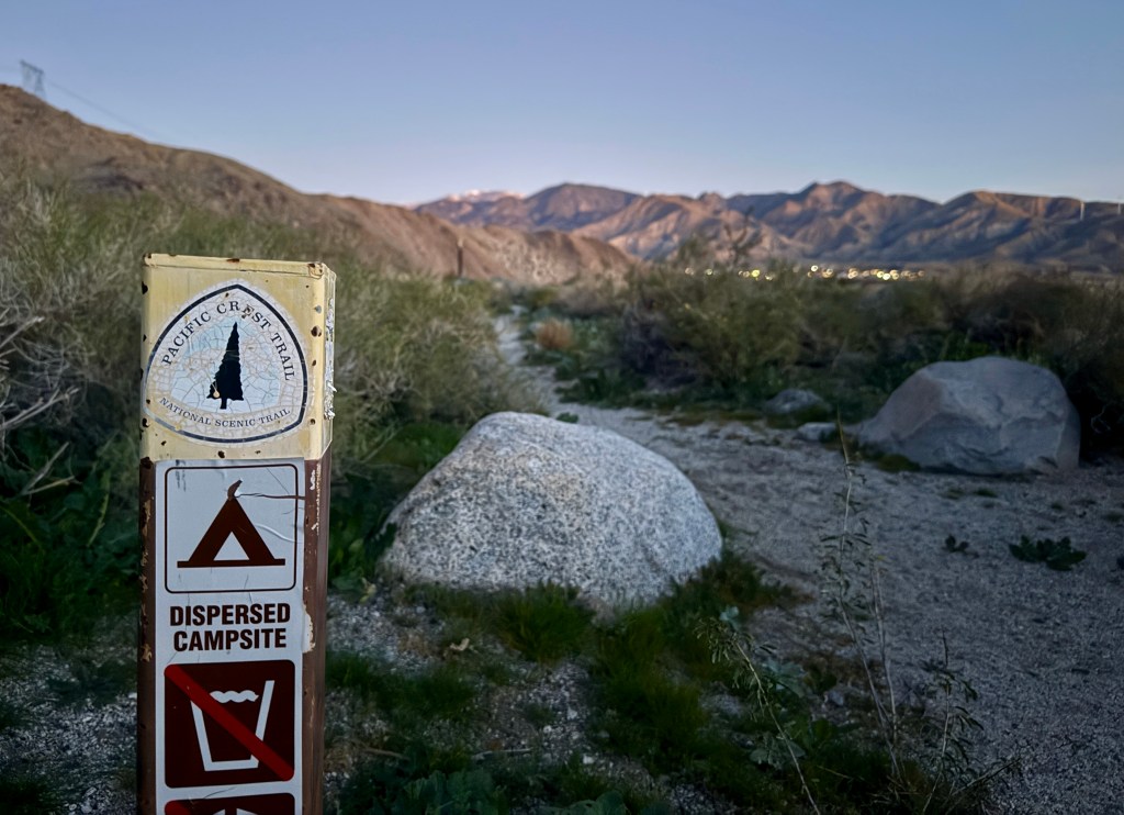
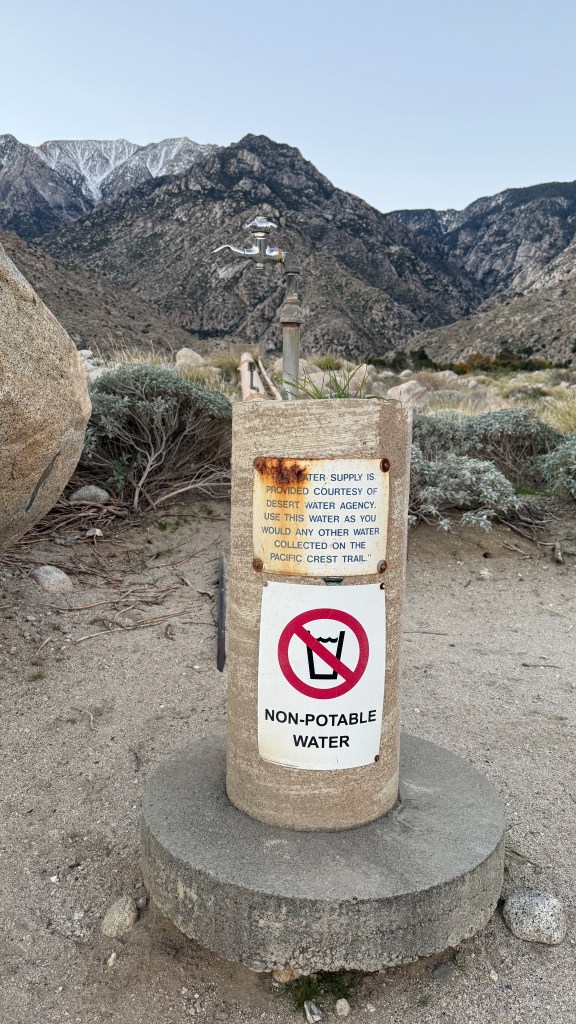
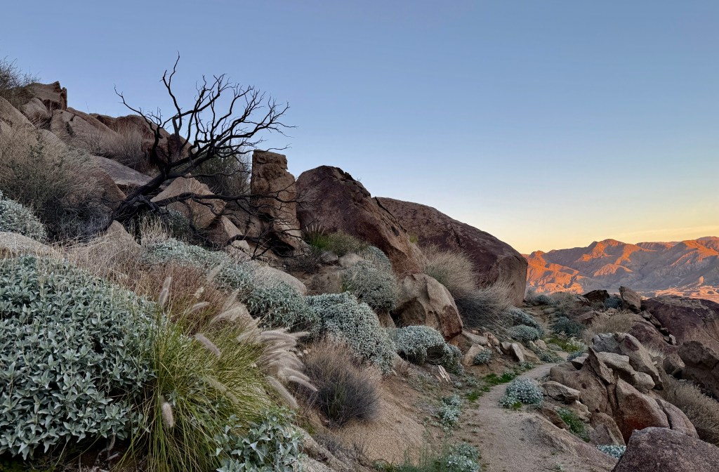
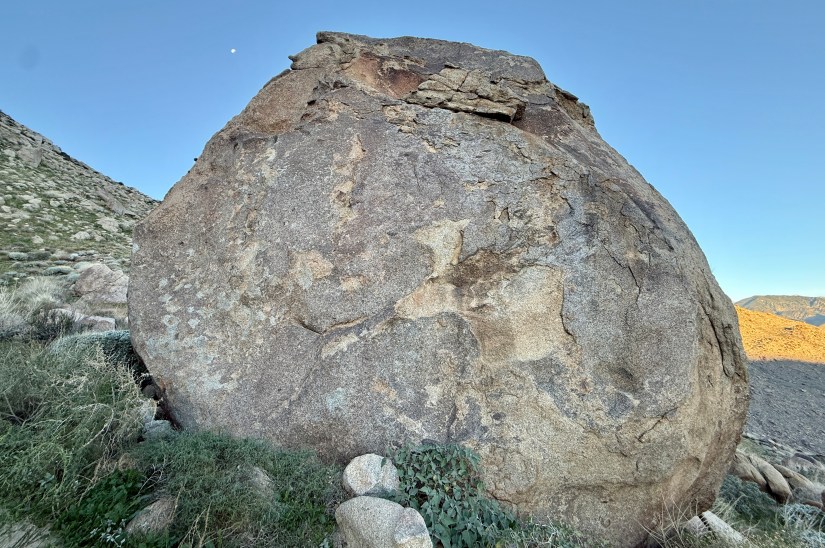
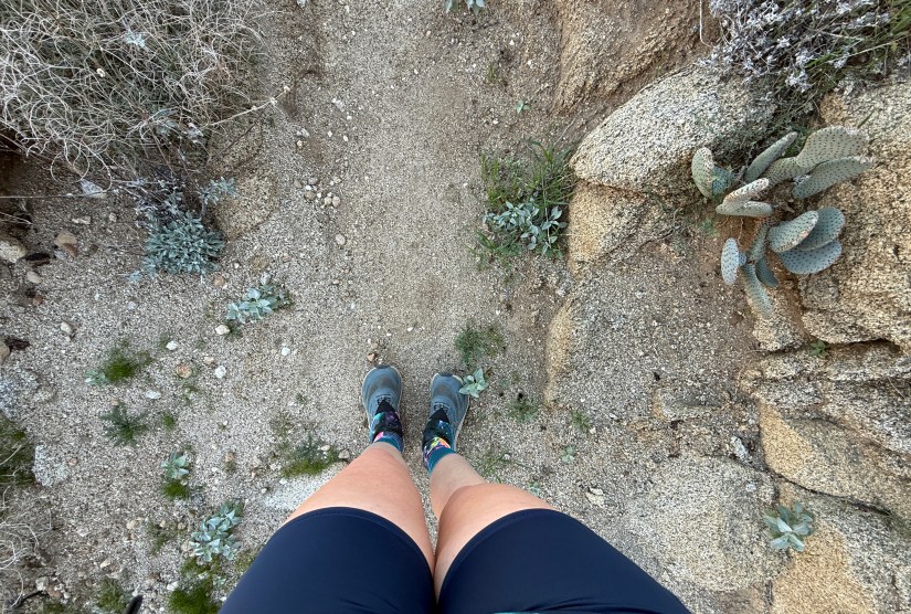
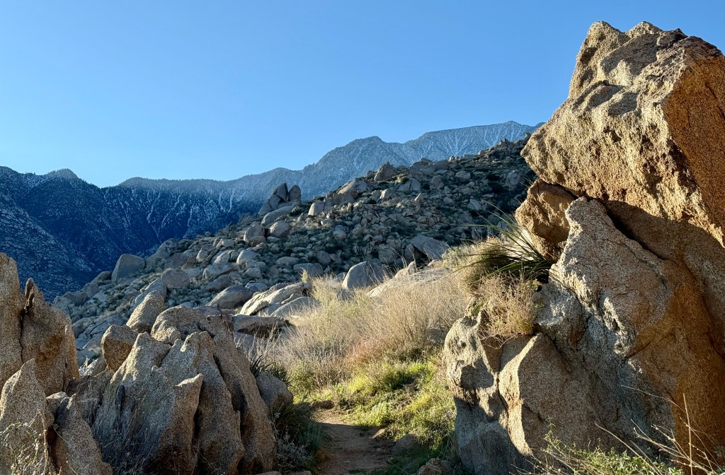
The PCT turns off the paved portion onto singletrack, marked by a huge boulder and a water spigot (recommended to filter the water from it!). Finally! Now I felt like I was on the PCT! At this time I also took to worrying about rattlesnakes, and spent most of the time scanning the trail in front of me. I also had some irrational fears of poisonous plants as the foliage was all strange to me, being the desert and all.

A large boulder with 'PCT' marked on it, beside a water spigot and a trail sign, set against a rocky mountainous background in the early morning light.
The big boulder marks the spot!
A non-potable water spigot near the Pacific Crest Trail, with mountains in the background and signs warning against drinking the water.
Water is available if one has a filter!
A warning sign indicating potential hazards on a hiking trail, including risks from falling rocks and debris, surrounded by rocky terrain and desert vegetation.
The start of the singletrack
A path winding through rocky terrain with tall grasses and mountains in the background, captured early in the morning light.
I found the grasses to be fantastic! And the desert air smelled amazing!
A rocky desert landscape at dawn, showcasing layered mountains in the background with hints of purple and orange hues in the sky.
Desert sunrise

When I planned my hike I counted on a solid hike being six miles total; three miles out and then turning back. Being at such a low altitude, I found myself just flying along, despite my stops for photos and setting up my tripod to nab selfies. I decided hiking seven miles would be even better!

A rocky trail with boulders and desert vegetation at dawn, leading towards mountains in the background.
The rocks were truly great on this hike.

Scenic view of a hiking trail leading through rocky terrain with mountains in the background at sunrise.
The distant mountains lighting up during sunrise
Close-up of yellow flowers blooming among silvery-green leaves in a rocky desert landscape.
Brittlebush in bloom
Trail leading through rocky terrain with vegetation, showing the rugged landscape of Palm Springs at dawn.

A rocky landscape featuring large boulders and sparse desert foliage, including a dry tree and some green shrubs, under a clear blue sky.
Interesting burnt tree at one of the corners
A view through a natural rock arch framing a hiking trail in the desert landscape, with mountains in the background and clear blue skies.
Lovely little arch alongside the trail
A close-up view of a cactus plant with a scenic desert landscape in the background during sunrise.
More beavertail cactus
A large boulder situated in a desert landscape, with grassy vegetation at its base and mountains visible in the background. The sky is clear with a hint of moonlight.
A gigantic boulder (and a very tiny moon)

At the 3.5 mile mark (and after 1400+ feet of elevation gain), I begrudgingly called it, and turned around to begin my return trip to the car. I would’ve loved to just keep going and going on the trail, but work was calling and I had only brought one liter of water along.

A rocky trail leading through boulders and desert vegetation in a mountainous landscape under a clear blue sky.
Approaching my turnaround point, which was at the corner of a large switchback
A hiker stands among rocky terrain and desert foliage on a trail near Palm Springs, California, with mountains in the background and a clear blue sky above.
One last glimpse at the trail that was in front of me

The sun had risen higher, so I dealt with occasional bright desert sun before disappearing behind the mountains. I was thankful this hike was mostly shady, otherwise I would’ve been melting in the heat (it was mid-80s most days I was in Palm Springs, and I think it approached 70 degrees by the time I was wrapping up this hike).

A scenic view from a hiking trail in Palm Springs, California, showcasing a pebble-strewn path leading to a rocky landscape with mountains in the background under a clear blue sky.
Heading back down the trail realizing I was looking at part of the San Andreas Fault, which is pretty neat!
A hiker's legs and feet positioned on a narrow dirt trail surrounded by desert vegetation, including cacti and small plants.
Shoes, meet the PCT! PCT, meet my shoes!
Rock formations and vegetation in a desert landscape with scattered boulders and green grass.
Awesome rock formations
A panoramic view of the desert landscape with mountains in the background, showcasing a clear blue sky and a hiking trail along the ridge.
My rental car is in this photo, somewhere down there in the Coachella Valley. I definitely gained elevation on this hike!
A sun rising behind large boulders along a winding path in a desert landscape.
The sun barely managing to peek out. I was so happy this hike was done early enough to be shaded!
Rocky terrain with large boulders and scattered vegetation under a clear blue sky.
Rocks! Piles of rocks!
A hiker walking on a trail in a mountainous area, carrying a backpack and a hiking stick, surrounded by desert vegetation with mountains in the background.
Did I really need my HMG pack with me for this hike? No. But did I fly with it solely so my pack could also experience the PCT? Yes.
View of rugged mountains with a blue sky in the background, featuring rocky terrain and desert vegetation in the foreground.
In the mountain shadow
A sandy hiking trail surrounded by tall grass and rocks, with mountains visible in the background under a clear sky.
I swear this is my last grass photo!
Rocky terrain of a desert mountain landscape under a clear blue sky with a visible crescent moon.
Tiny moon hanging on
A person smiling while standing next to a sign for the Pacific Crest Trail with mountains in the background.
Obligatory trail marker selfie!

I reached my rental car at two hours and thirty minutes after starting… not a shabby seven mile hike! It was so hard to leave, but I knew I still had to fuel up the car (which I would be returning on my lunch break to the Palm Springs International Airport, shower, get into business casual clothing, and track down coffee and a proper breakfast.

Wooden signpost indicating directions to Snow Creek and White Water Preserve, surrounded by greenery.
This house that the trail passes by was decorated with PCT signage

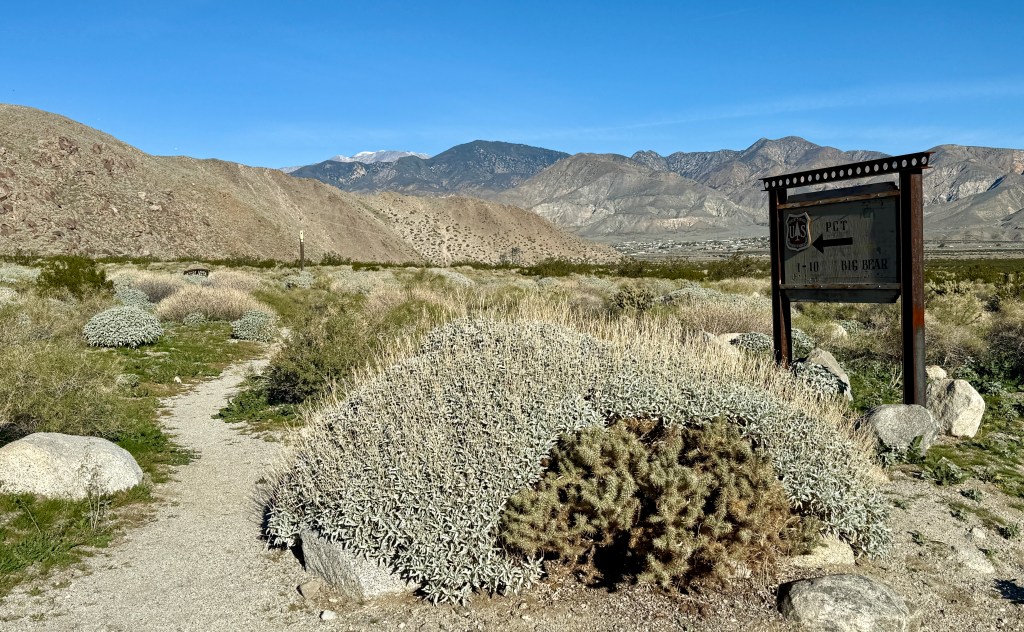
This very short hike did unleash the adventure scheming in me. Due for a lot of reasons, I will never be able to compete a thru-hike of any long trail (nor do I particularly find walking for six months straight appealing)… but that doesn’t mean I cannot knock off some sections! It is 209.5 miles from the PCT southern terminus at the U.S.-Mexico border to I-10 outside of Palm Springs, making up sections A and B of California. I schemed up how I could fly out and accomplish such a thing rather easily! Sure, it’s not the full 2,650 miles, but I think 209.5 miles can fulfill the urge.

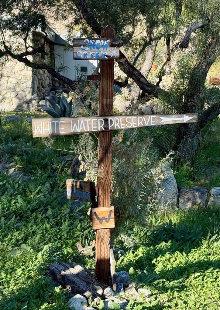
There are other ways to reach the PCT from Palm Springs, including taking the aerial tramway, or exploring the trail from around I-10 and Whitewater. I highly recommend the route from Snow Creek, as the view towards Mount San Jacinto is outstanding, and it is quick and easy access for those crunched for time!

Details:
All Trails Link
Date Hiked: December 9, 2025
Trailhead: Snow Creek
Total Mileage: 7.02 miles (Garmin Enduro 3)
Total Elevation Gain: 1,417 feet (Garmin Enduro 3)
Total Time Spent: 2 hours 33 minutes
Weather: Sun! Warm! Desert!
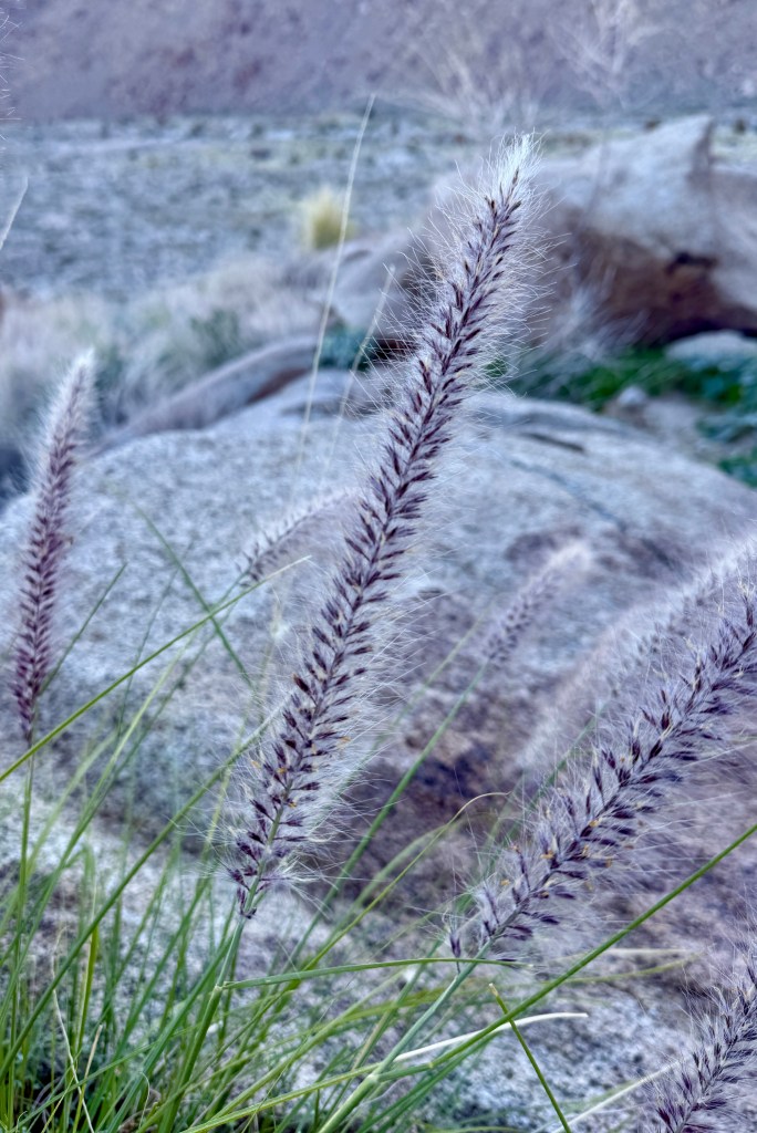
Trail Conditions: Dry, and desert-like. But there were wildflowers!

2 thoughts on “A Taste of the PCT: Snow Creek to San Jacinto Wilderness”

Leave a comment