

The first day of spring was upon me! After doing a big bike ride the day before, I decided it would be a good day for a hike. I have a big adventure coming up, and this would be a good warm up hike and test of my severely sprained ankle that I have been working on healing up. (I’d like to say I sprained it doing something epic, but all I did was step on the side of my parents’ driveway wrong, and down I went, tearing ligaments on the way.)
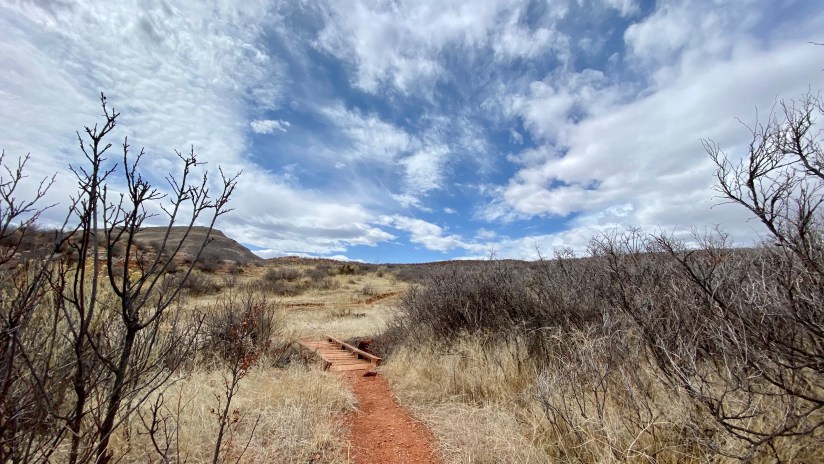
A few months back I checked out a day hike guide for northern Colorado area from the library, and stumbled across Bent Rock Trail at Red Mountain Open Space. At a little over 3 miles, this is a perfect, easy hike. This area is one of my favorite places to mountain bike, but I was unsure the ankle could handle a mountain bike at this time, so time to check a hike off the list!
Red Mountain Open Space is part of a trio of public lands that straddle the Colorado-Laramie border, joined by Soapstone Prairie Natural Area (City of Fort Collins, CO) and Big Hole Open Space (City of Cheyenne, WY). Red Mountain is managed by Larimer County. The trio provides dozens of miles of trails, often empty of the typical Front Range recreational crowds. Hikers, mountain bikers (and gravel bikes are taking off), and equestrians are all welcomed, though some trails are restricted to just hikers or hikers/bikers. The terrain is open and desolute, which can be a killer under summer sun. There is no water, so pack plenty, and there are no restrooms after leaving the trailheads. Via stout hiking legs, or a mountain bike, it is possible to end up over 10 miles from your car, so being prepared is key! Cell phone service is spotty, and it is not uncommon to see SPOT trackers dangling from packs. The trio is open dawn to dusk, and closes seasonally December through February. One important thing to note is dogs are not allowed, so leave your pupper at home.
Probably the only annoying thing about trips to Soapstone and Red Mountain are that if coming from Wyoming, there is no northern access – you have to drive about 25 miles south on I-25 from Cheyenne, and then backtrack on gravel roads north to reach the trailheads. This makes it a much longer trip than it thereorectically should be. Luckily the road into Red Mountain was smooth sailing, and I made good time.

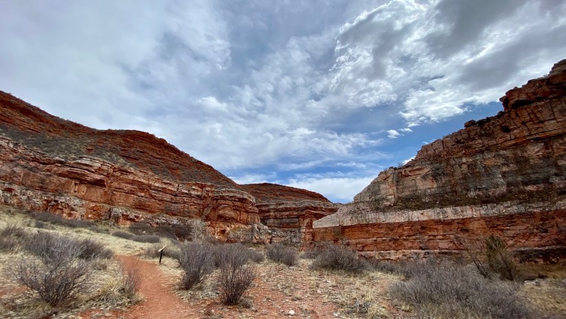
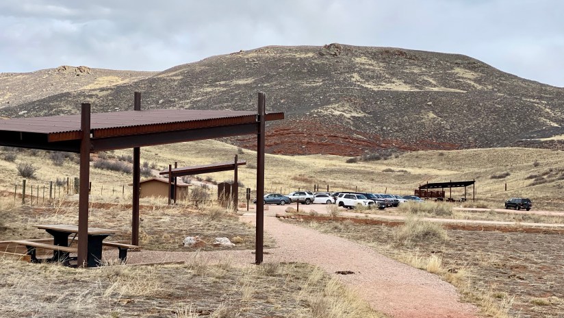
I read online that hiking the loop clockwise is best as you end with a bang at the canyon formed by Sand Creek, so I took this advice. Everything at Red Mountain (and Big Hole and Soapstone for that matter) is well signed at intersections. I gathered up my pack (first hike with my brand new Osprey Tempest Pro!), laced up my boots (needed for the ankle), and hit the trail! Of note, Bent Rock Trail is for hikers only, no horses or bicycles allowed.
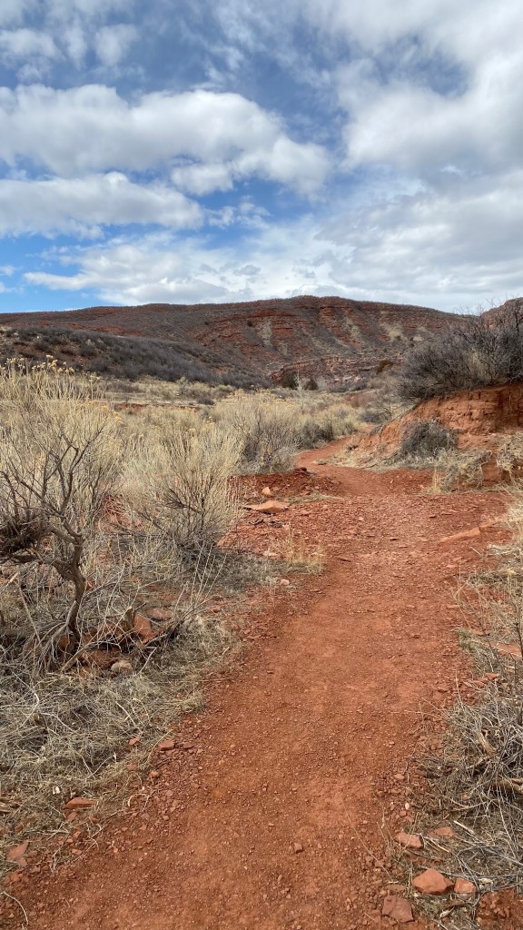
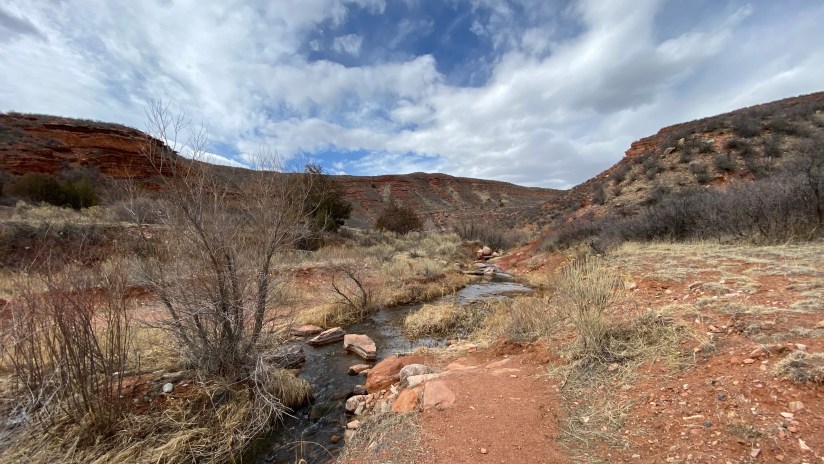

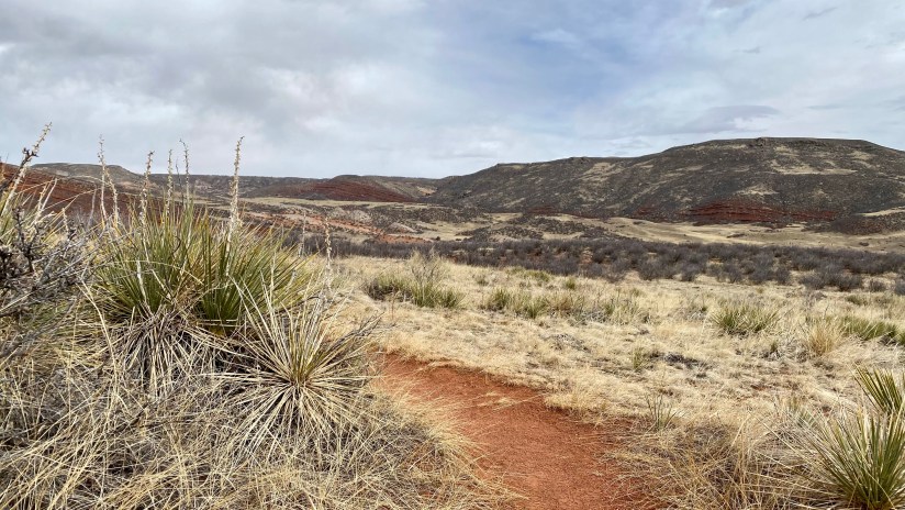
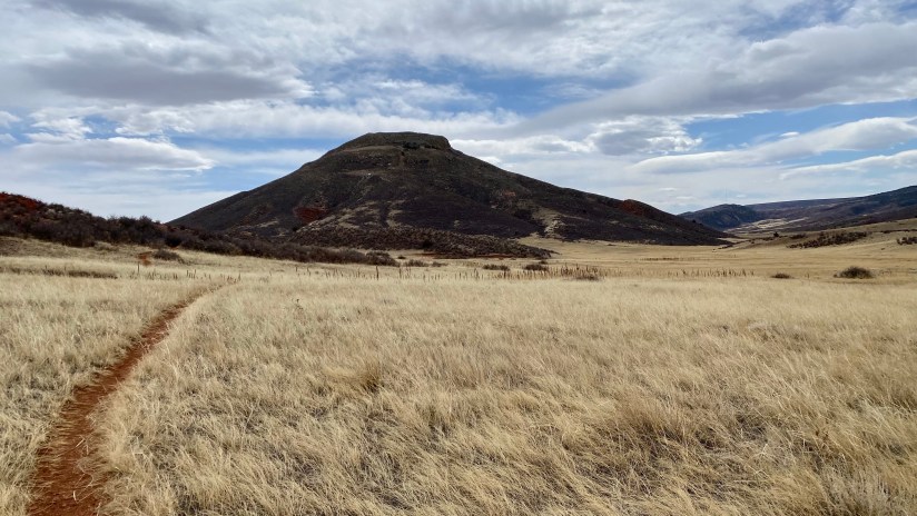
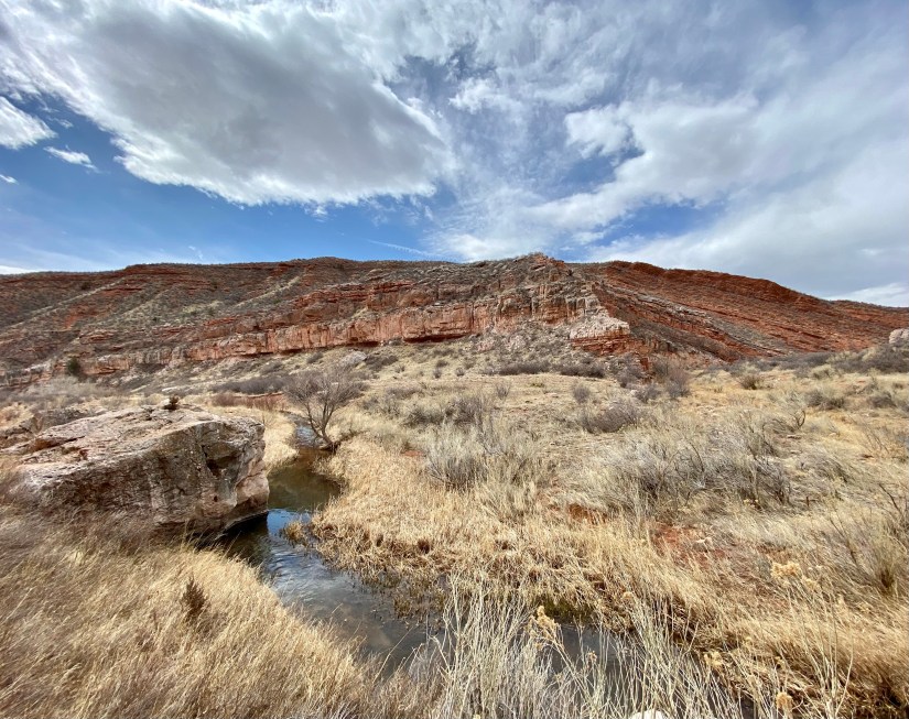
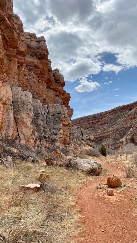
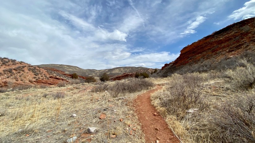
I love the scenery of this area… the rolling praire, the red dirt, the rock formations. Knowing that the canyon would be the big treat, I still couldn’t help but to admire the views the rest of the hike offers.


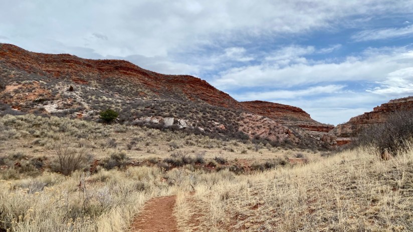
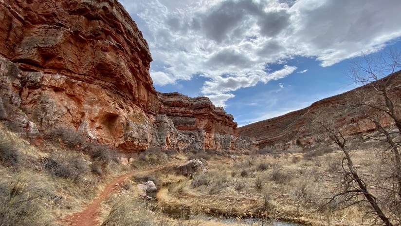
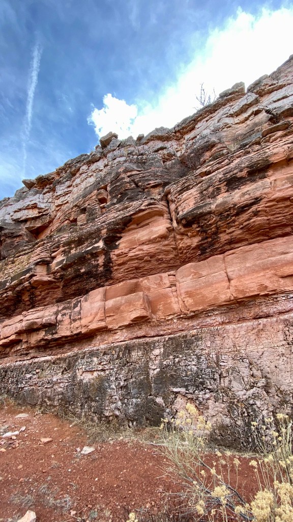
As the hike rounds to the finishing stretch, the trail joins the banks of Sand Creek. The “layer cake” geology of this unique area comes onto full display as you enter the canyon. These rock layers were deposited over millions of years, and the Lykins, Jelm, Sundance, and Morrison formations are all on display. Sand Creek is responsible for the canyon, though it is hard to imagine this mild creek carved this canyon (oh how thousands of years can make a difference!).

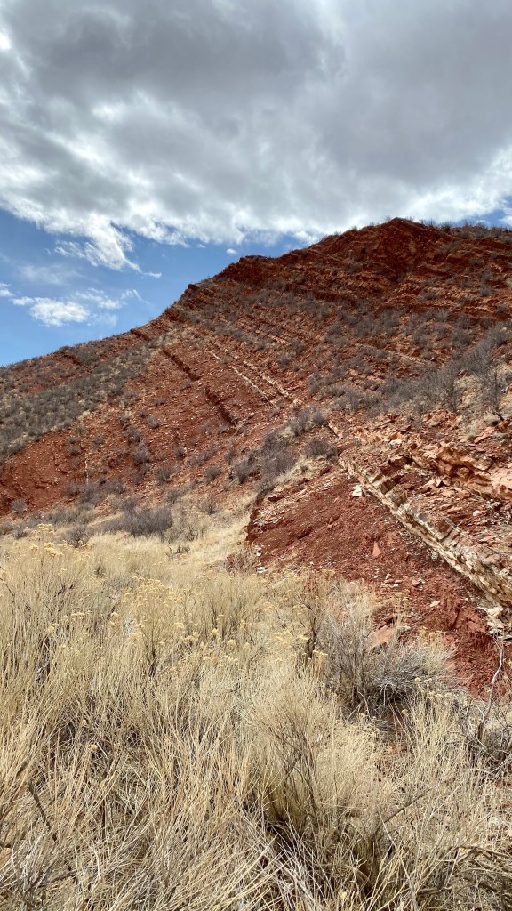
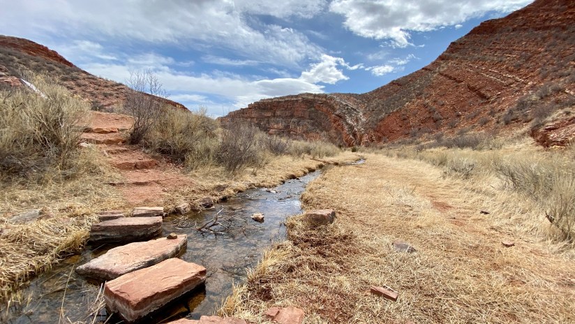


This area is also great because here you will find billion year old rocks on top of million years old rock – wait, what?
Geologists use the term superposition to suggest that rock layers below are older than layers on top. This is generally true. However, regional uplift and mountain building about 70 million years ago exposed very old underlying rock layers west of here. Periodic intense floods over thousands of years have carried some of those billion year old basement rocks down into this drainage on top of much younger layers.
Red Mountain Open Space intrepretive sign
Not only a layer cake, but a “precambian upside-down layer cake!”
Gosh, I sure do love rocks!


This was a short and sweet hike – all in all, it took me only 1 hour 15 minutes complete with a bathroom break and all the stopping I did in the canyon to take photos. Perfect length for not irritating the ankle too much (and only slightly rolled it once!) and for getting some sun on my skin!
Details:
Date Hiked: March 20, 2022 (Spring equinox!)
Trailhead: Red Mountain Open Space
Total Mileage: 3.35 miles per Garmin Vivoactive 4s/Strava
Total Elevation Gain: 295 feet
Total Time Spent: 1 hour 15 minutes
Weather: Partly cloudy, upper 50s/low 60s
Trail Conditions: Dry
Cell Service: Spotty service (Verizon), which is typical of Red Mountain and Soapstone


Leave a comment