

“Keep close to Nature’s heart… and break clear away, once in a while, and climb a mountain or spend a week in the woods. Wash your spirit clean.” – John Muir
September 6, 2021… the day had arrived to head back to one of my favorite places ever, Yellowstone National Park. After spending five days/four nights in the park in 2020 in what was my first trip in 29 years, I just knew I had to go back and conquer some hikes I wasn’t able to do then and explore even more. Chase unseen geysers, nerd out over volcanic tuff, forget about the world for eight days in a land of limited cell phone service. And boy, did I need this!
My body was rearing to go at 5am, thirty minutes before my alarm. I putzed around getting ready and finished packing up my car at Buffalo Bill’s Antlers Inn in Cody (not a bad place at all to stay – clean and reasonably priced for summer tourist season). I thought I’d get Starbucks when they opened at 6am in the local Safeway, but alas, they were closed (maybe for Labor Day?) so I settled for some Red Bull. Also, my hotel was old school enough that I had an actual key, and they had no drop box… luckily I swung by about 6:15am and someone was there early that I could hand my key to. I know, I’m weird, there’s no sleeping in on vacation!!! (Yet, I’ll hit snooze five times and barely crawl into work on time most days…)
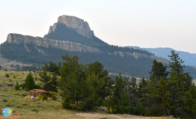
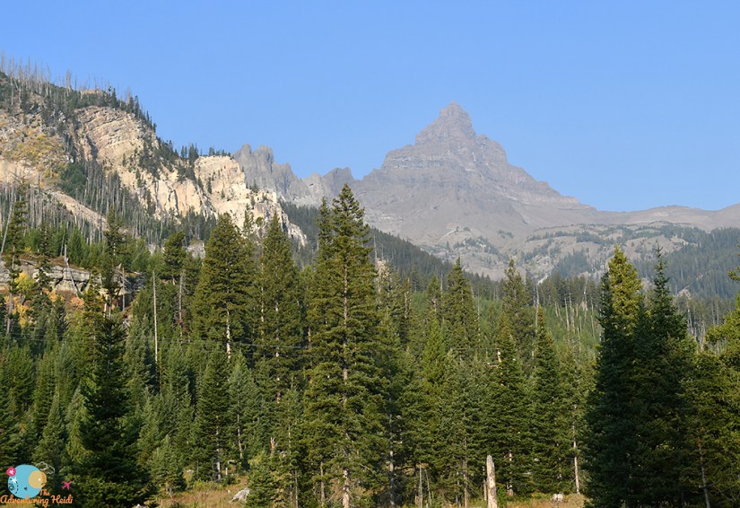
I decided to enter Yellowstone through the northeast entrance outside of Silver Gate, Montana, and took the scenic Chief Joseph Scenic Byway (Wyoming State Highway 296) out of Cody. I had extensively debated looping up around to Red Lodge to take the Beartooth Highway, but I wanted to arrive in Yellowstone reasonably early to get a head start on the record crowds and traffic. Regardless, Chief Joseph was well worth it in both scenery, driving fun, and geology!


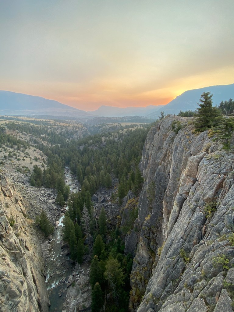
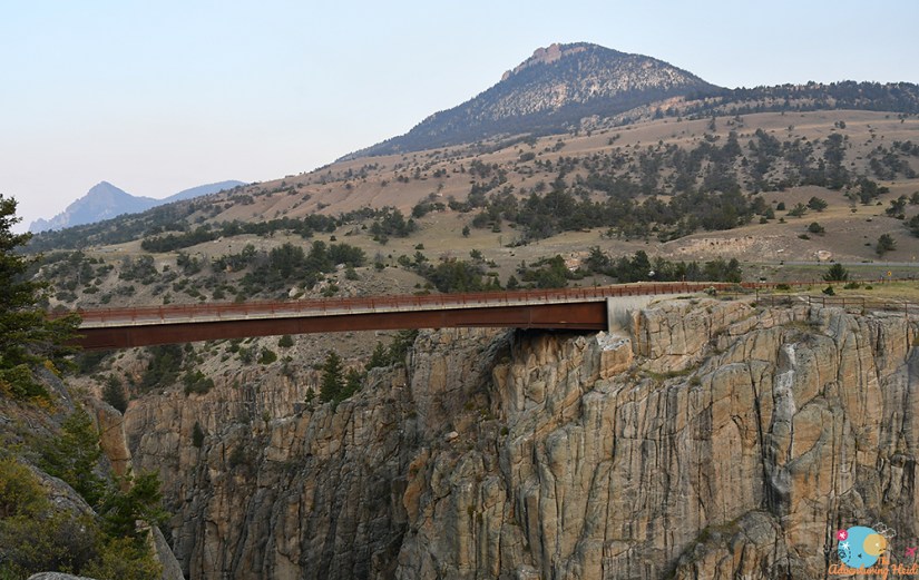
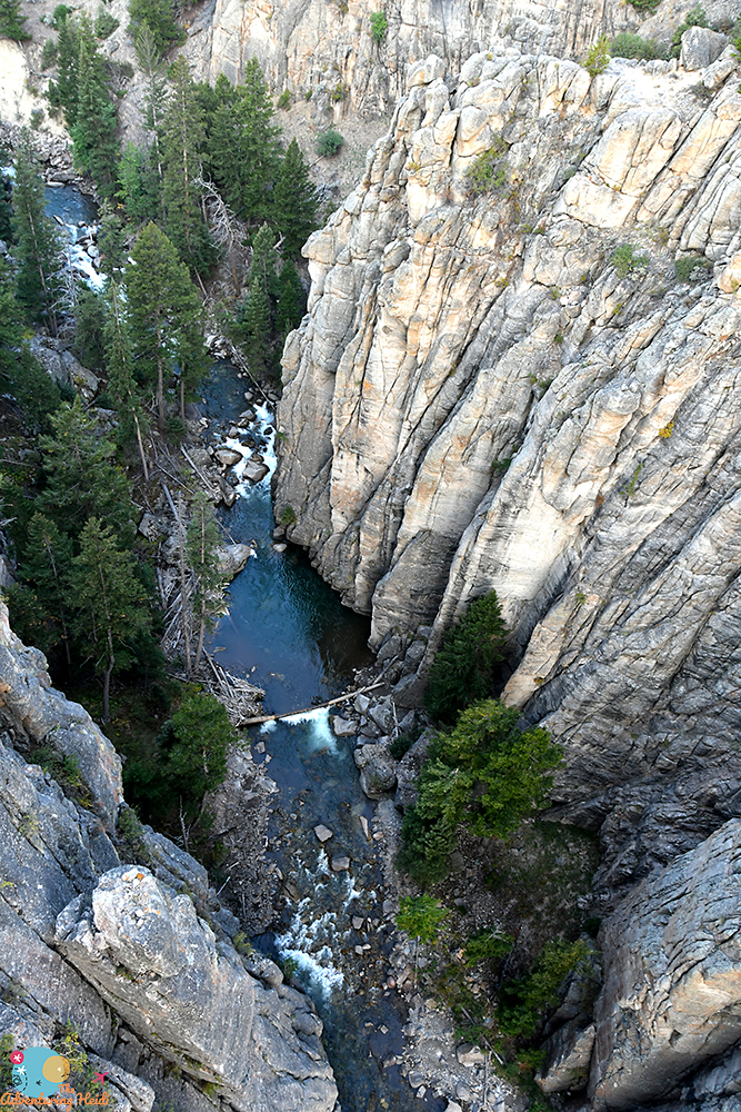
I stopped for a decent amount of time at the overlook for the Sunlight Creek Bridge, which is the highest bridge in Wyoming. Let me tell you, it is high, and can really be nauseating looking over the edge! There’s great viewpoints on both sides of the road of the canyon, and it was nice to stretch my legs for a bit as the sun struggled to rise.
On down the road I went!
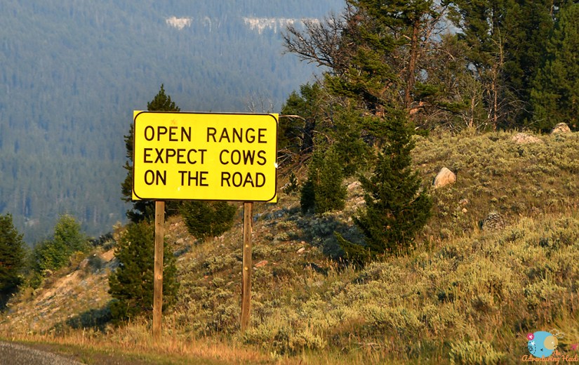


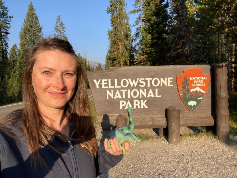
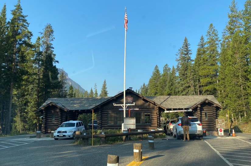
Can we talk about how there is no Montana sign at the border on US Highway 212 – Beartooth Highway? Ruined my plans for a sweet ‘gram reel with “Meet Me In Montana” playing… or a simple photo with my car, Fozzy, and the Adventure Dinos (none of which, car or dinos, had been to Montana before). Alas, I grabbed a quick video of the towering mountains, and kissed cell service goodbye as I descended into Cooke City and onward to the entrance to Yellowstone. After a quick stop at the entrance sign, I breezed through after maybe waiting only two minutes for cars in front of me. I realized I’ve gotten quite the use out of my American the Beautiful annual pass since buying it last year… $175 in national park/monument entrance fees and $30 on a pass for my local national forest all for $80 total!!


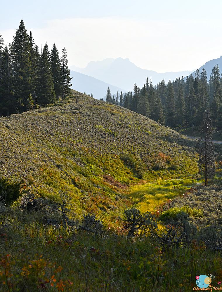
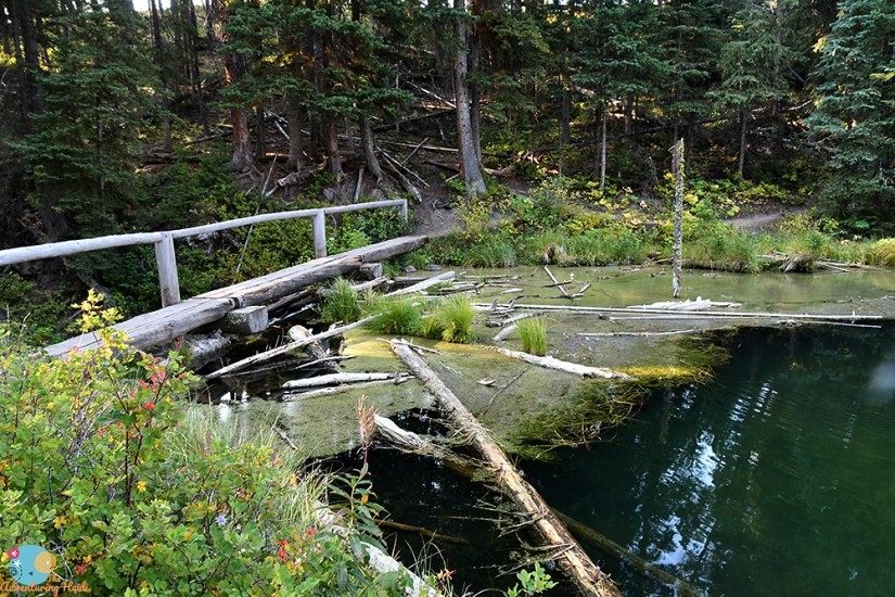
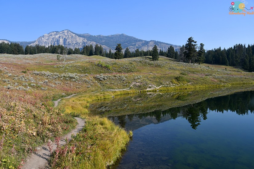
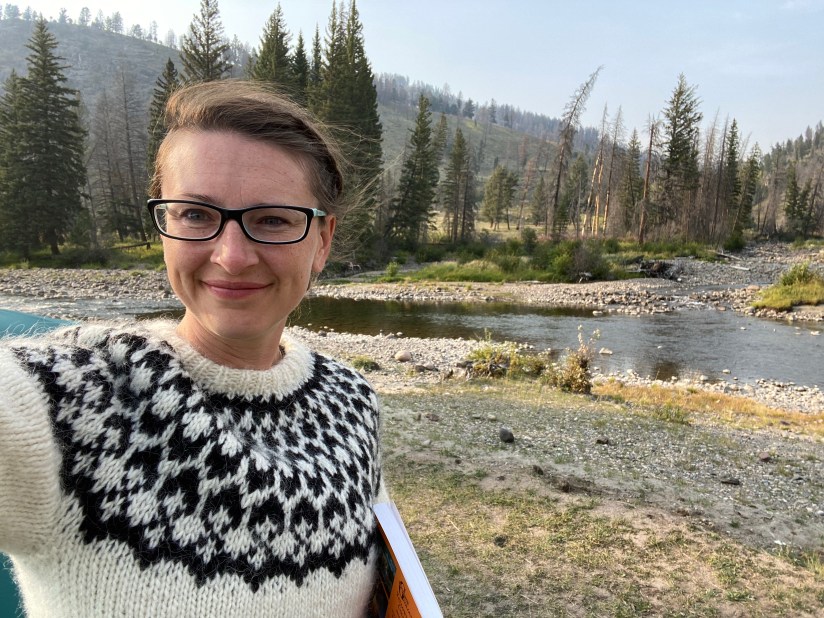
I wasn’t in the park long until coming to my first stop of the day, the trailhead to Trout Lake. This is a highly ranked hike, though quite short – which makes it family friendly and also great for those who just don’t want to hike long (like me, on this first day!). I stepped out into the chilly 30-something degree air, and debated my clothing choices while throwing on several bike locks (I’m use to NOT leaving a bike unattended on my car, so that was a bit of anxiety for me this trip… luckily my bike remained safe and under my ownership all week!). I eventually ditched the heavy lopapeysa (Icelandic wool sweater) which was a very good idea as the hike was all uphill and the temperature warmed quickly as the sun rose higher.


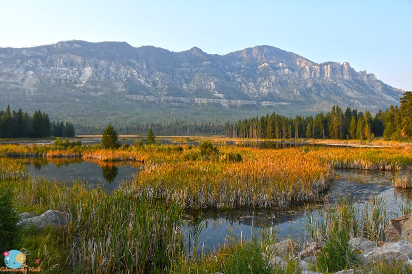
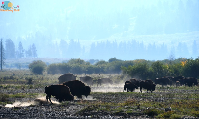
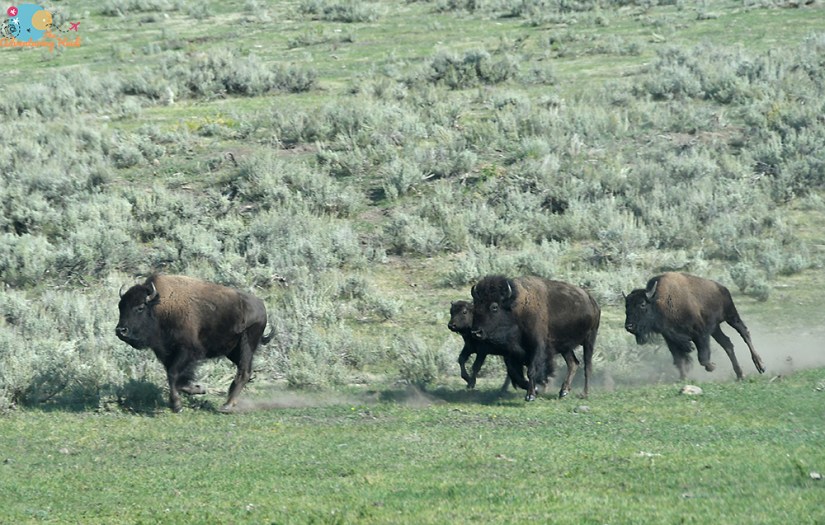
After my hike, I cruised through the Lamar Valley, stopping to grab some bison photos, and also getting caught in one “bison jam” as they ran down a hill to cross the road.

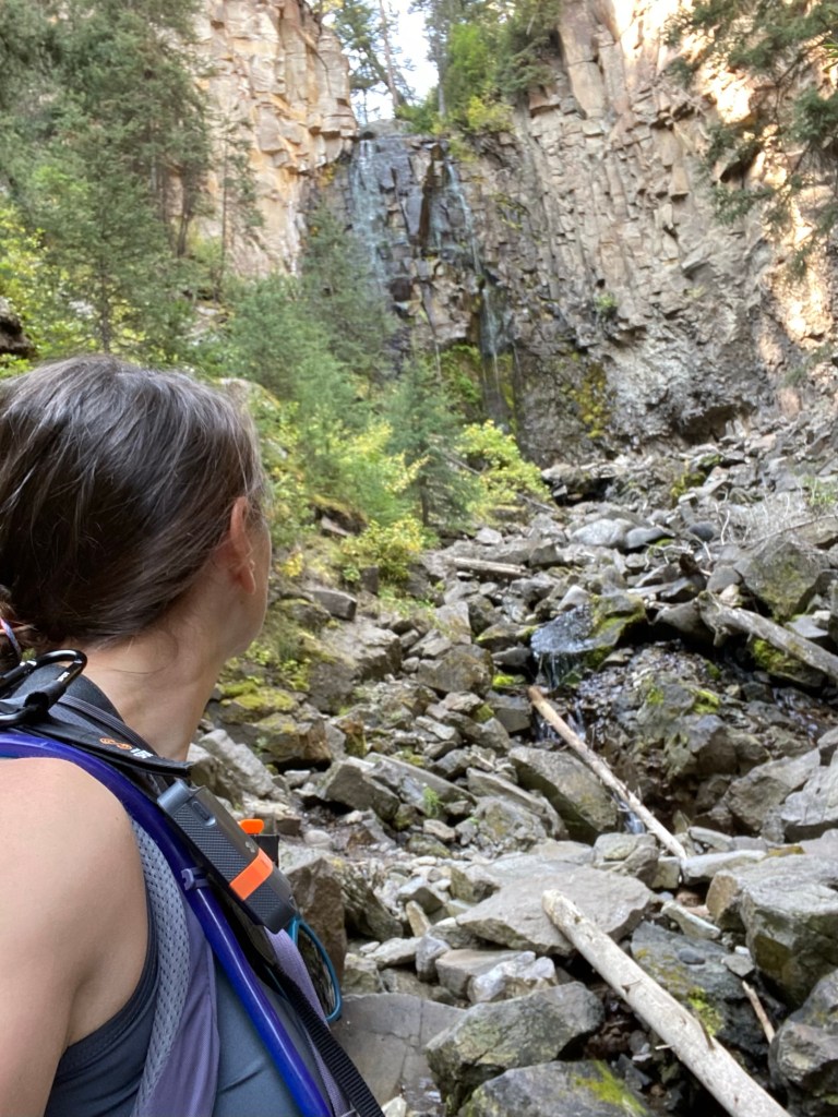
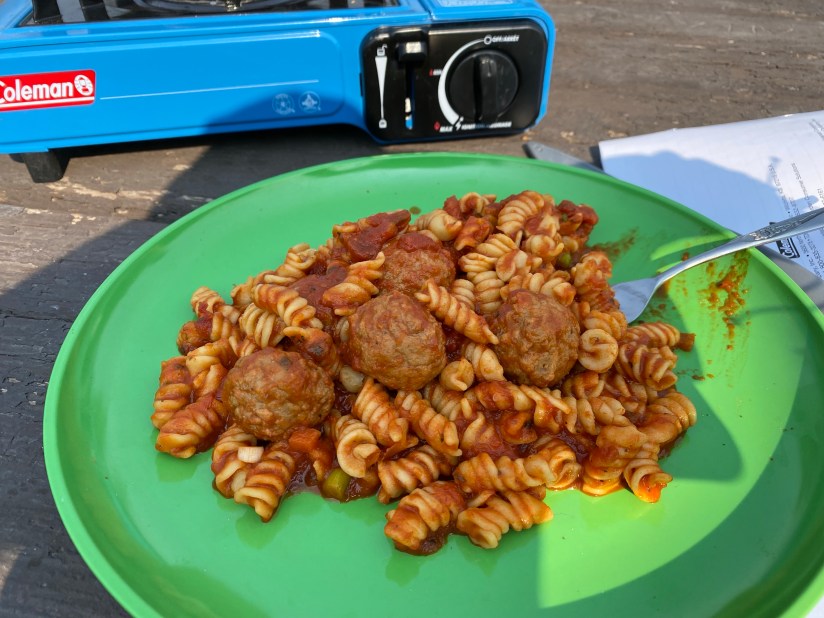
My next stop was the the Yellowstone River Area Picnic Area, which is where a hike begins overlooking the Yellowstone River. I was hungry, so I fixed up a sandwich at 10:30am (rules on what to eat when go out of the window while camping!). It had warmed up considerably and I went back and forth on doing the hike to see Calcite Springs, and finally decided against it at that moment, and continued on down the road.


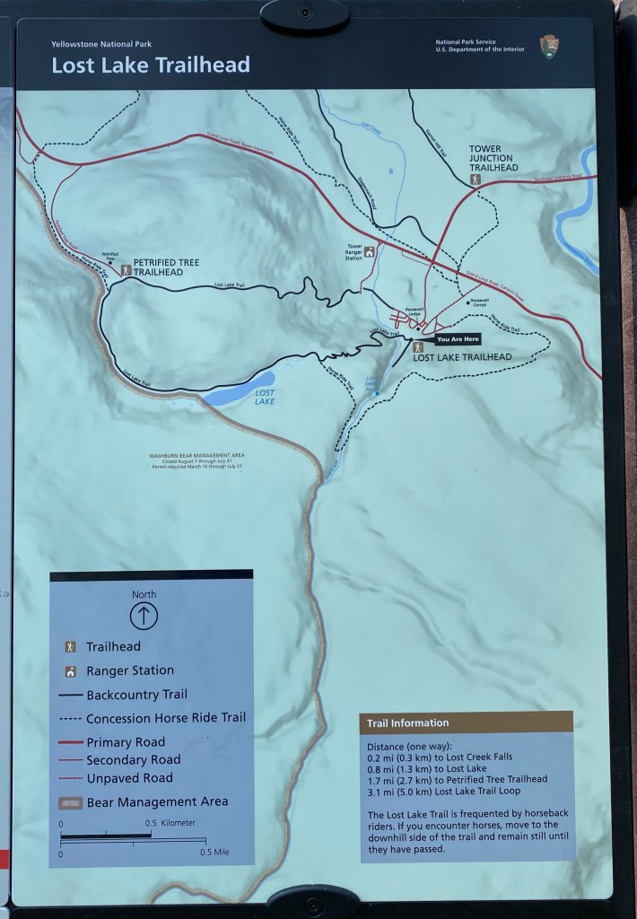
Another stop drive later I was at the Tower junction. The road to Tower Falls is still closed, as it was in 2020, so no chasing that waterfall. I decided to hike up to Lost Creek Falls, a rarely visited waterfall that is behind Roosevelt Lodge just a little ways. I parked at Tower Junction and walked to the lodge as the road was gated off, which added a bit to the still very short hike.

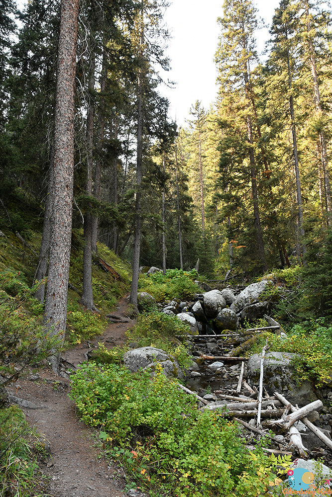

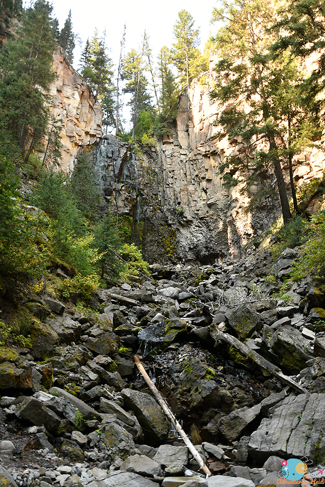
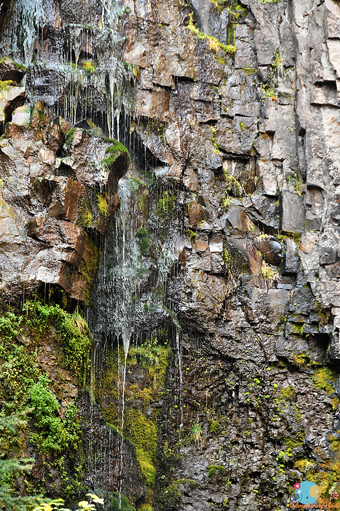
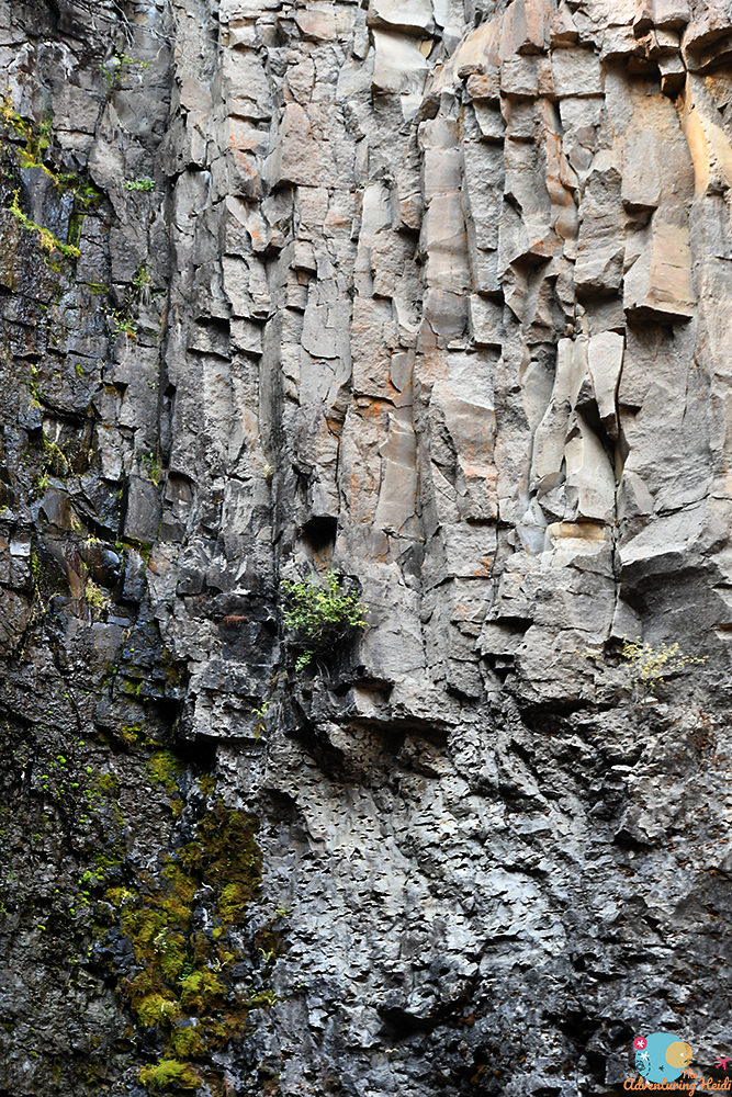
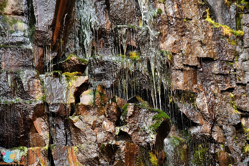

A nice short hike to a new waterfall! Since it was a hot day, it was nice to get in the shade. Extra bonus is I was completely by myself despite the record crowds in the park.
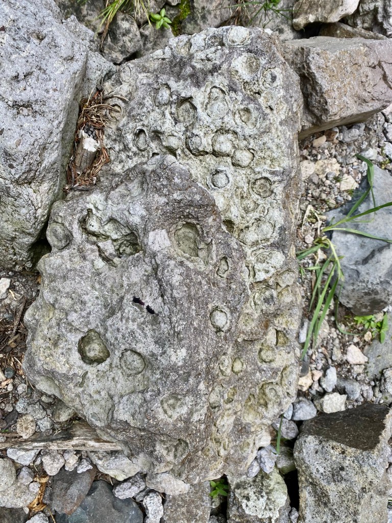
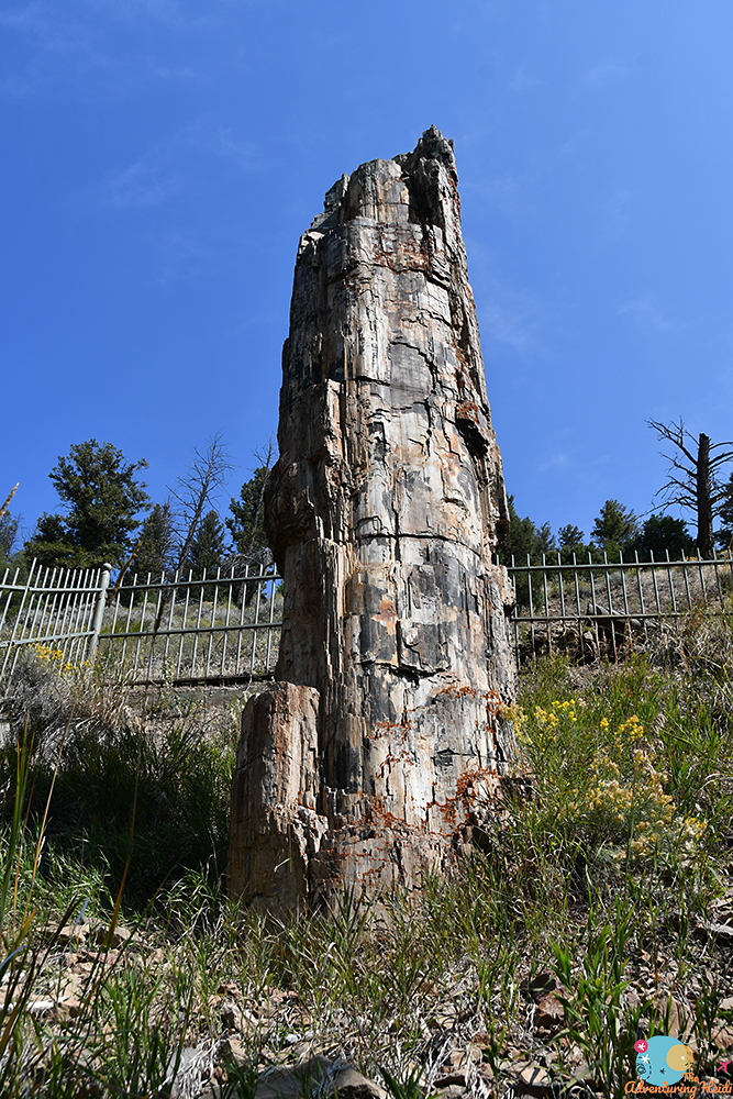
Next up was the quick drive to the Petrified Tree. This is a short detour from the main road to the most accessible petrified tree in the park. This preserved redwood was caught in a volcanic eruption of the Absaroka mountains (a volcanic system separate from the hot spot that causes Yellowstone’s historic and modern day volcanism) 50 million years ago. In case you’re wondering, redwood trees are not found in this region in modern day times, but of course Wyoming was a bit different 50 million years ago!

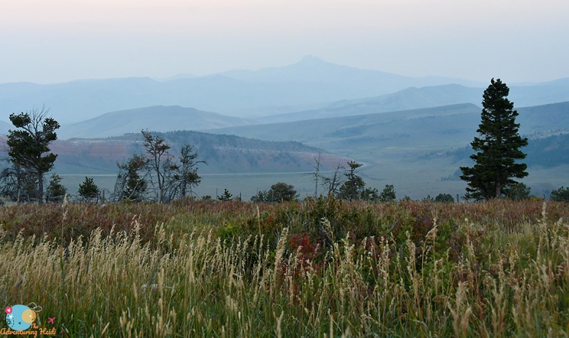
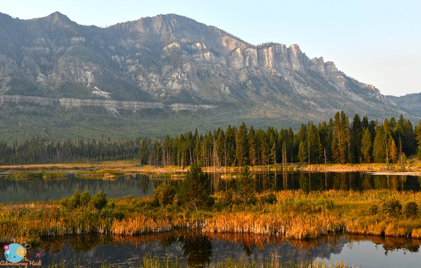
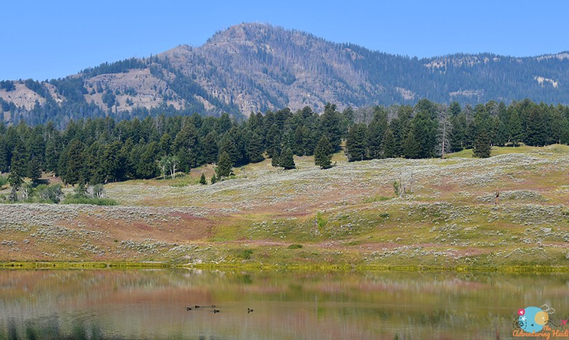
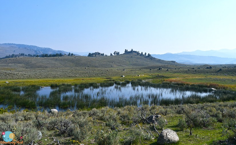
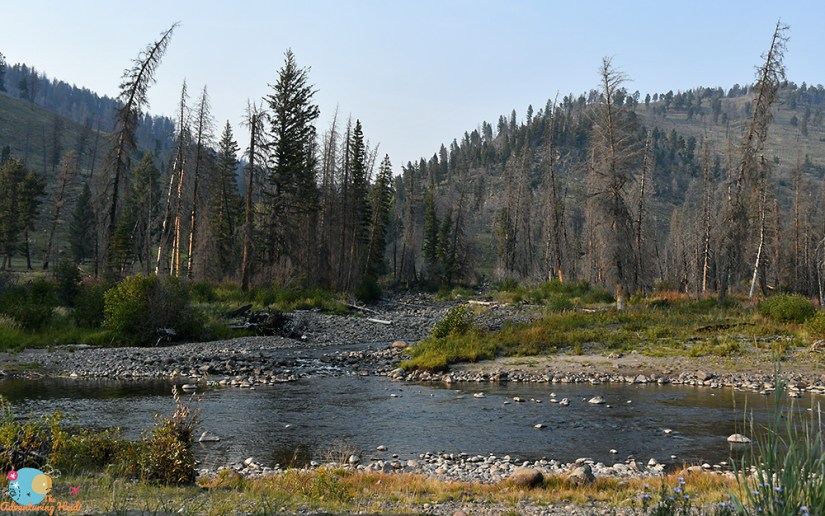
I found myself out of things on the “to do” list rather early in the day. My campground for the night, Slough Creek, had an early check in time, so I headed up the dirt road. Don’t get me wrong, Lamar Valley is amazing, but it was hot, midday, and severely lacking in hydrothermal features, so I was ready to “turn in” for the day. I briefly considered going all the way to Mammoth to grab some ice and hang out for a bit, but figured I’d set up camp and see how things went.

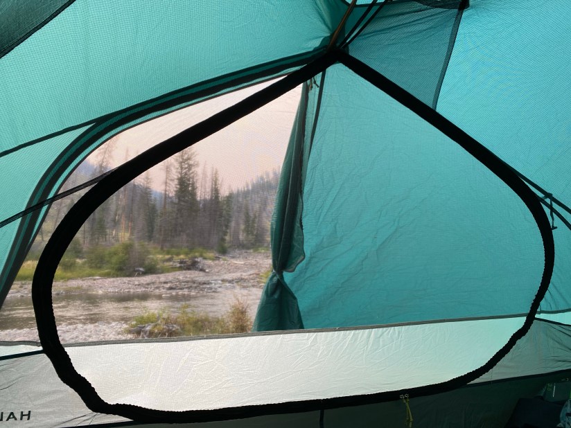
Slough Creek Campground is managed by the National Park Service, and is quite basic with (very clean) vault toilets and a hand pump for water. It doesn’t have the frills of the commercially managed campgrounds, but in trade you get remote views and the perks of not having 300 neighbors! This was the first year the campground was reservable, and I’m pretty sure it sold out for the season within minutes after opening up for reservations in March. I was able to score site #6, which is right on Slough Creek, and even came with a complimentary badger!!

I. HATE. BADGERS.
I’m terrified of them actually. More-so than bears. Oh goodie. (I was chased by one as a child when I was riding my bike. No, I won’t get over that!)
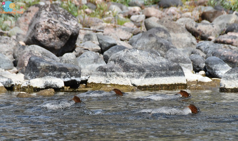
Well… I had perfect 4g LTE service at my campsite, so my happy butt dragged a chair down to the river and scrolled on the internet all dang afternoon and evening. Not ideal, argh! (I did bring down my roadside geology book and learned all about kettle lakes!)
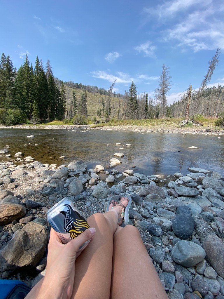


I was in bed, still no badger sighting (thank goodness), quite early, maybe by 8:30pm. I fitfully tossed and turned, but finally got some solid sleep. ‘Twas a lazy first day in Yellowstone, but can I really complain about that river view?!


Leave a comment