
You know its a good adventure when it is so jam packed that a single day must be split into two blog posts due to all the amazing photos!
This day would start Janice’s and my adventure around the Olympic Peninsula of Washington. I had been up the 101 to Port Angeles about a decade ago, but that was about the extent of all of our experience, so it would be filled with adventure and new dirt on our old shoes! We drove nearly 900 miles on this fast and furious trip, and this day was a hefty bulk of that as we tried to soak in all the bodies of water, rainforests, beaches, and waterfalls that we could!
Under rainy skies we set out from the La Quinta Inn in Lacey after a breakfast of waffles, heading north. The quickest way according to Google was to go to Tacoma, and then over as we wanted to skirt the Puget Sound as we made our way to Point No Point Lighthouse. Janice and I aren’t ones for I-5 traffic, so we took an ever so slightly longer route that avoided heading towards Tacoma. We blasted road trip songs (the ever present Wilson Phillips “Hold On” was included!), marveled at how many freaking trees the Pacific Northwest has, and decided the rain just made it seem like we were in the correct place, all the while avoiding driving behind logging trucks because we are Millennials who saw Final Destination.


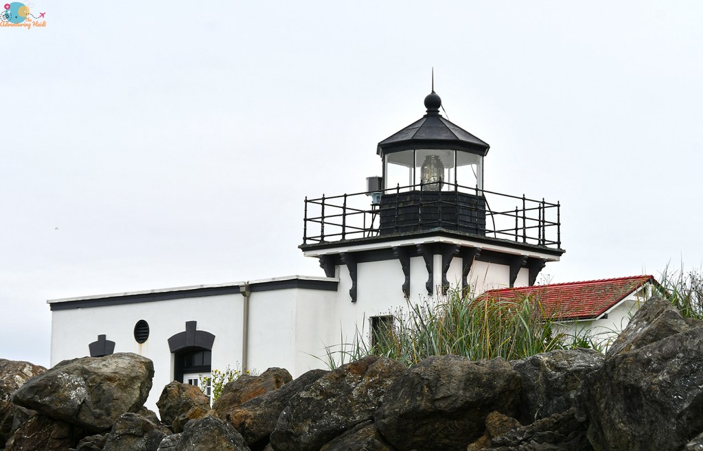
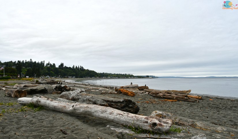
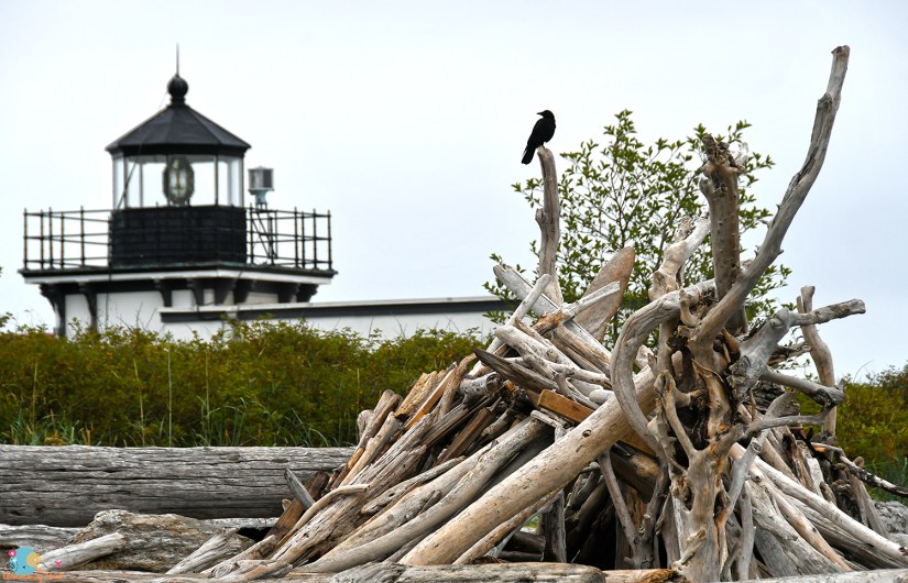
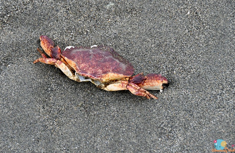
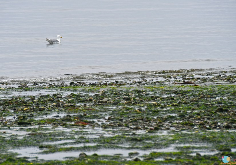
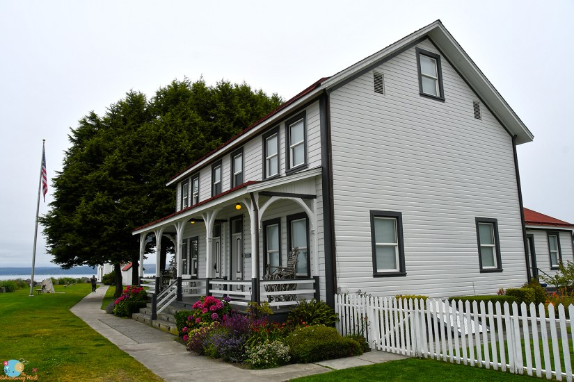
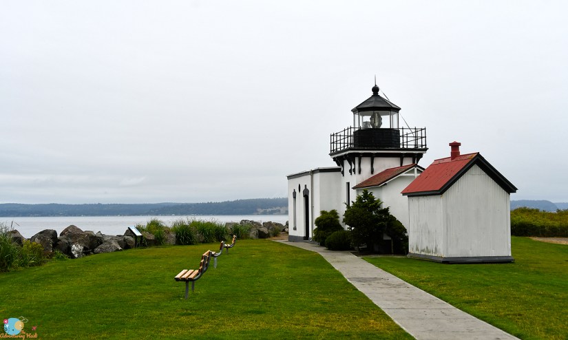
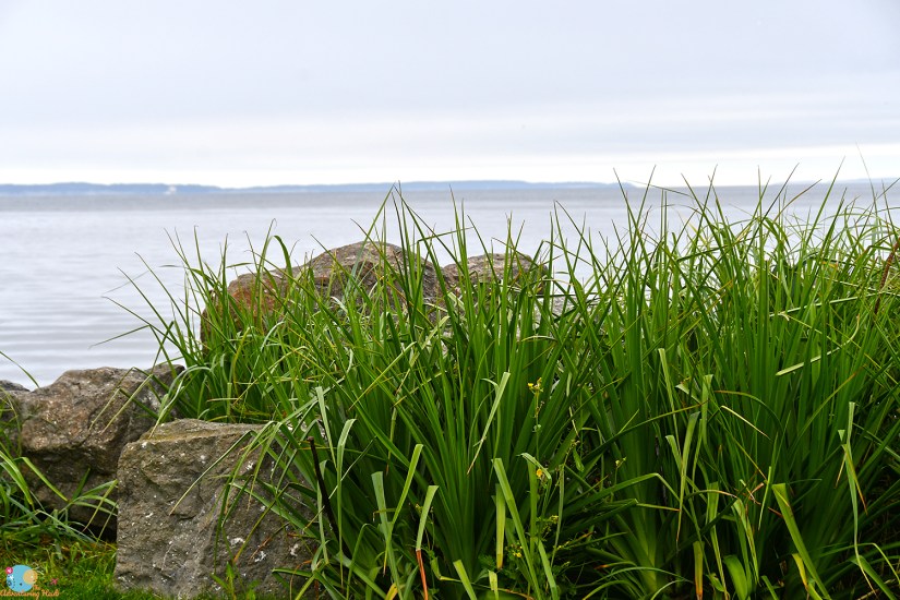
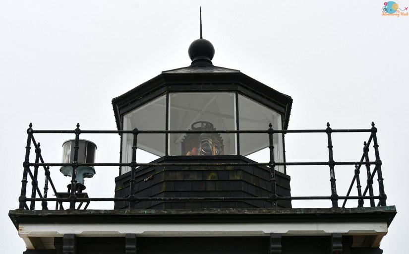
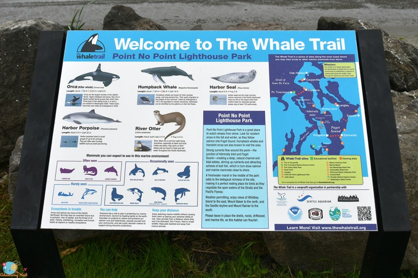
The first destination of this very busy day was Point No Point Lighthouse outside of Hansville on the shores of the Puget Sound, about a two hour drive from our hotel in Lacey. Janice really wanted to see the sound and I had decided I would start chasing lighthouse passport stamps, so really it was the perfect mix! Built in 1879, the lighthouse is the oldest one on Puget Sound, and there is lovely beaches that were packed with people fishing and relaxing. The US Lighthouse Society also has there headquarters at this location, but sadly they were not open yet when we were visiting, so I was thwarted from getting my first stamp in my lighthouse passport.


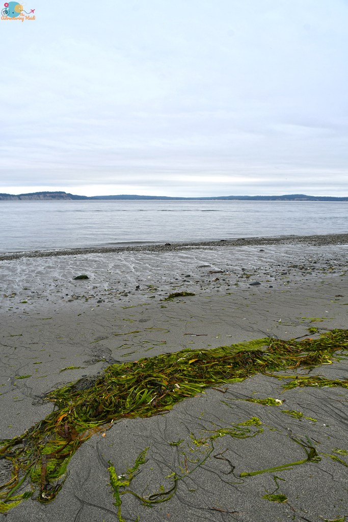


After getting plenty of sand in every crevice of our toes (and then on the floor of the rental car), we set out towards Port Angeles. The rain let up, turning to partly cloudy skies. I started getting nervous for the Hood Canal Floating Bridge, as I hate bridges over water, which I also hate. I had learned Janice has quite the fear of drawbridges, so she laughed and went, “at least it’s not a drawbridge!” Guess what is both a floating bridge AND a drawbridge? (We made it across unscathed. And then I scared Janice with my story of one time riding a bike across a drawbridge near Seattle and how the operator waved me through even though they were getting ready to raise it. Looking back, that is actually terrifying.)

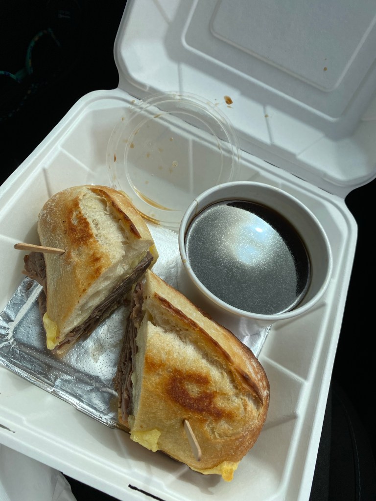
Bridge scandal aside, we worked up an appetite, so I found us a lunch place in Port Angeles so we could refuel, take in some coffee, and get prepared for a busy afternoon. I decided on Toga’s Soup House Deli. They were closed to indoor dining, but we were able to zip through the drive through and then eat in the car. I opted for the French dip, which was probably the best one I’ve ever had, and Janice got the reuben. We also got cookies and plenty of caffeine. Like the adults we are, we ate our cookies first if you were wondering…
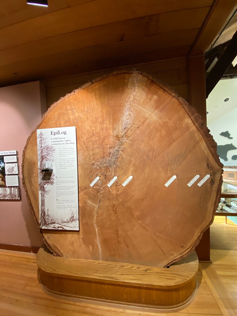
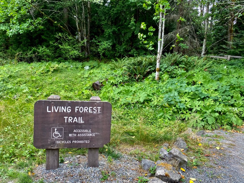
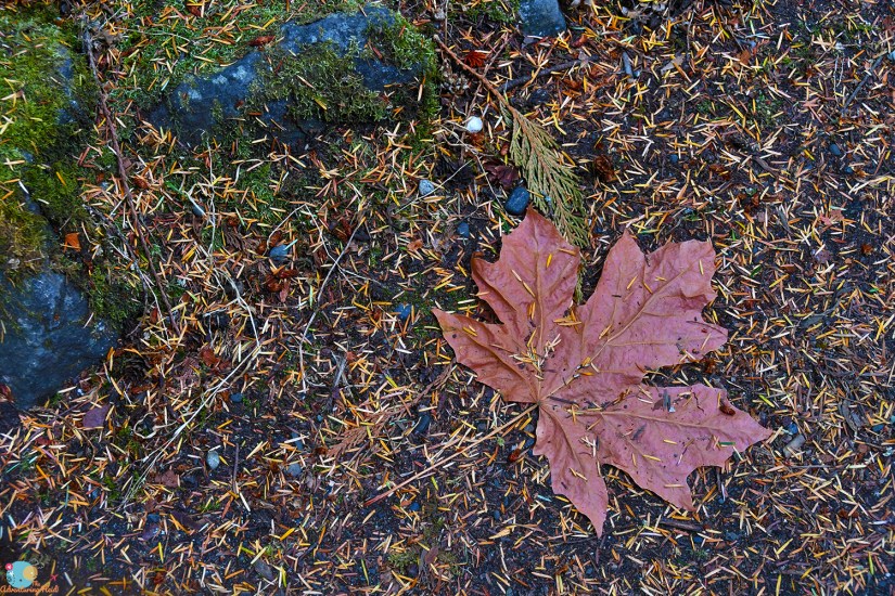
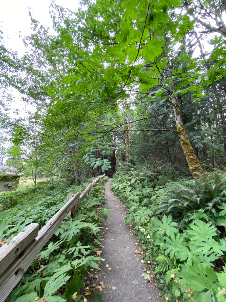
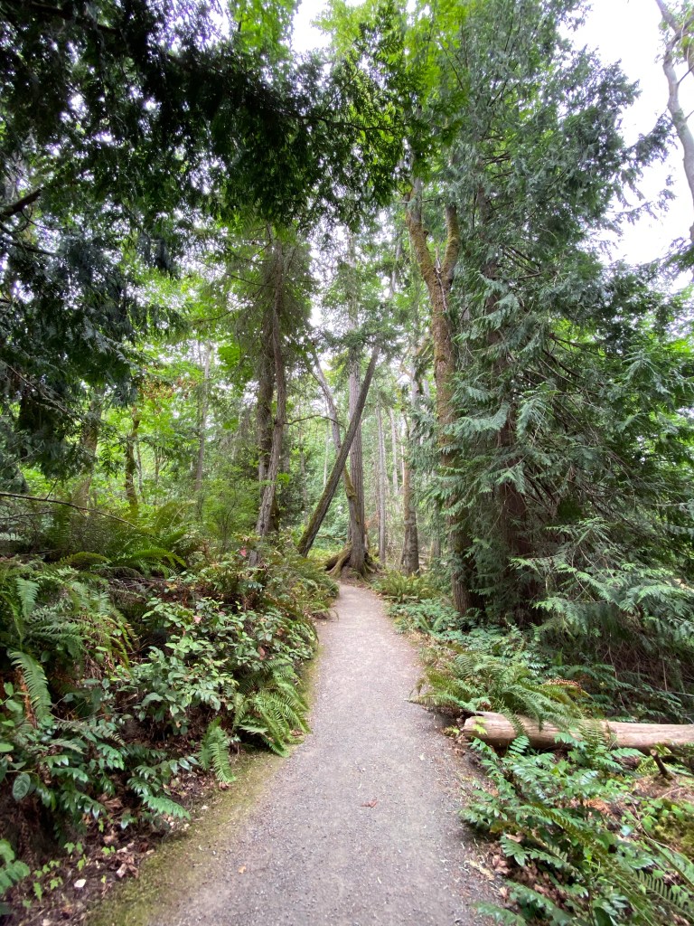
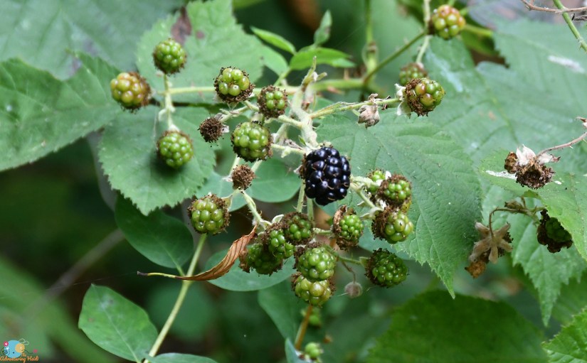
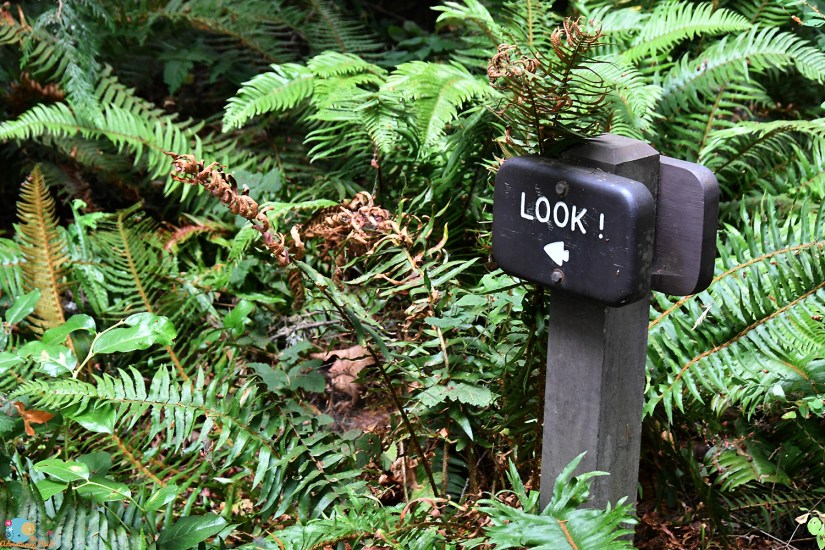
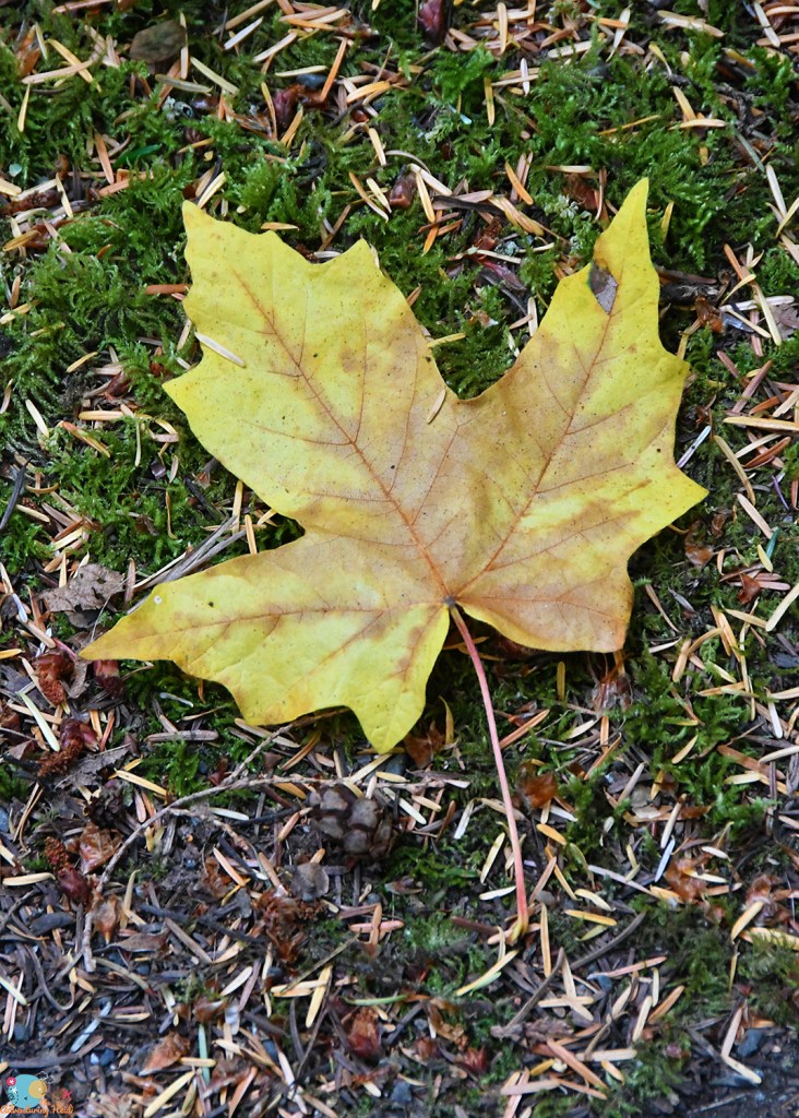
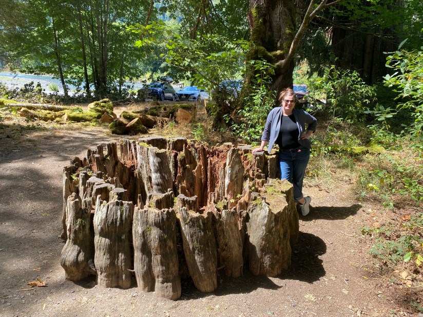
Next up was the visitor center at Olympic National Park on the north side of Port Angeles. First up was my entrance sign photo, and then passport stamps and a souvenir magnet at the gift shop. We then walked the entire Living Forest Trail that is behind the visitor center, and is definitely worth the time! The trail is 0.4 miles long and is accessible with assistance. Being the dry, arid Wyoming girls that we are, we marveled at how prehistoric everything seemed (and I kicked myself even harder for forgetting the Adventure Dinos at home), with the lush greens and smell of decay.

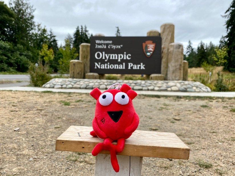

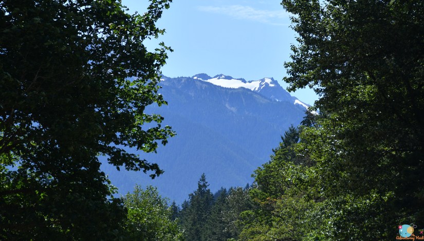
Olympic National Park was born in 1938 after being designed at national monument in 1909. It is a park of variety, with glaciated mountains, ocean coastline, and temperate rainforest. Janice and I had been pondering what makes a rainforest a rainforest, and from what I can now gather, it is the amount of precipitation the forest receives in a year – they say this rainforest is the wettest in the continental US! There are no roads that cut directly across the park, just a handful of access roads into the interior.


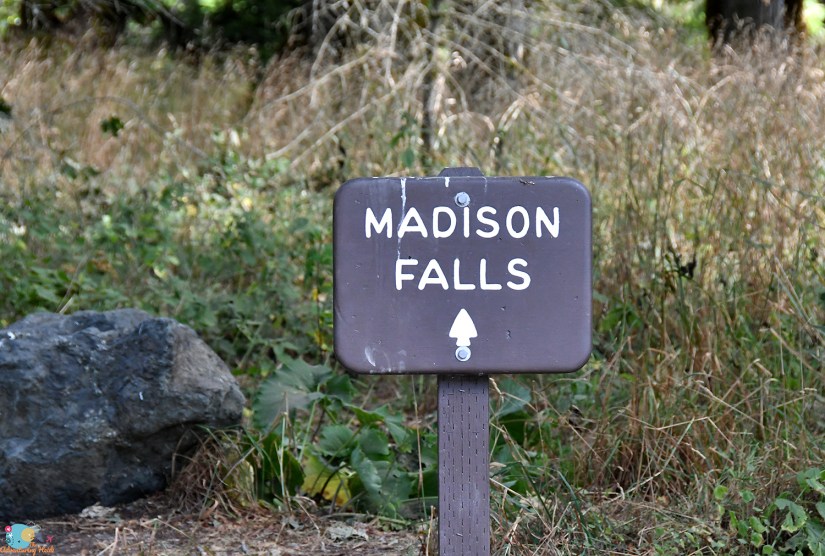
With visitor center duties fulfilled, it was time to begin our waterfall chase! Thanks to the great informational sign, we decided to pop over to Madison Falls on the way to Marymere Falls since it was close to the highway and a very short walk. The clouds gave way to gorgeous blue skies and sunshine!
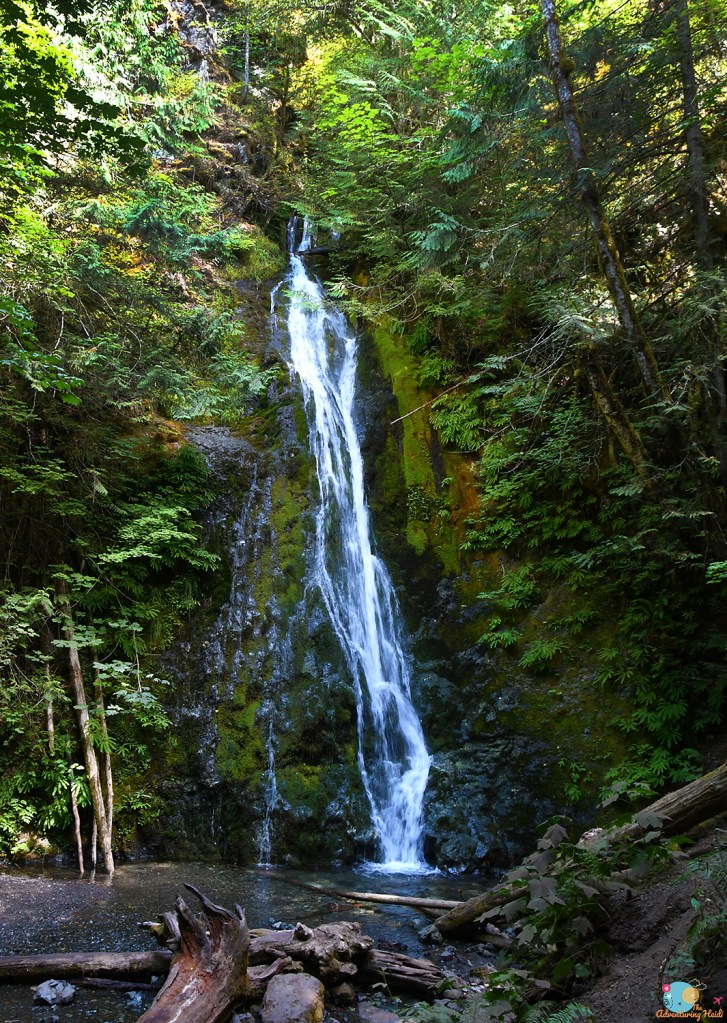
Madison Falls is located right off of Olympic Hot Springs Road, and has ample parking. There is a paved 0.1 mile path that leads to the falls, and is accessible (with assistance, as there is a bit of a hill). This area was quite busy, and at the falls it was rather crowded. We quickly grabbed our photos and headed back to the car.


Next up was a short, yet scenic jaunt to Marymere Falls. But alas, I’m going to save the rest of this day’s adventures for another post since I took so many stinking photos!!!


Leave a comment