
Well, it is about darn time I did this hike!
Hiking to the summit of Bridger Peak in southern Wyoming has been on the “to do” list of hikes for years now, but I never made the commitment to doing it, being two and a half hours away from home. With the summer bucket list evaporated into thin air, I set my sights on something more obtainable with a bum shoulder… here’s to ticking off more Continental Divide Trail (CDT) miles in Wyoming!
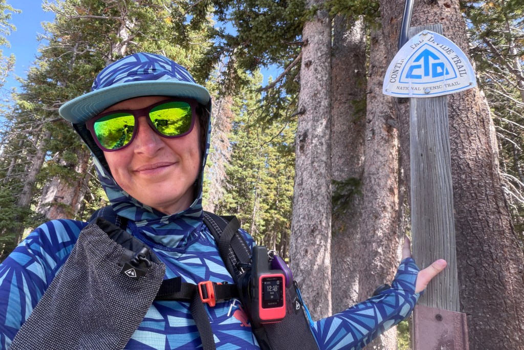
Bridger Peak is the high point of the Sierra Madre range in southeastern Wyoming, a slice of the Rocky Mountains I played in a lot as a child, but have neglected for thirty-some years at this point. Accessed by a forest road (which is completely Subaru-able as I discovered as I was hiking), this 11,004 foot summit was once home to a fire lookout, now decommissioned. And cherry on top, it lies on the CDT, my favorite long-distance hiking trail.
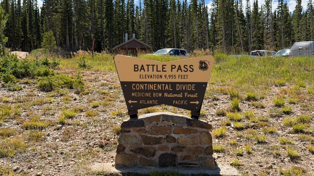
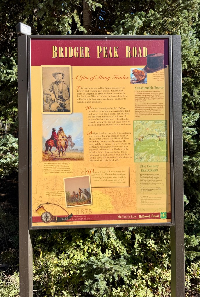
After parking in a large clearing swarmed by campers running generators, I set out to find the trail. AllTrails describes the hike to Bridger Peak as an out-and-back on the forest road. This was fine and all (and I would take the forest road back), but my main goal was to tick off more CDT miles so I branched off on the narrow singletrack.
Before I could make it on the trail, I was stopped by a volunteer: “It is late to see a NOBO [northbound] hiker!” I laughed, and explained I was just day hiking. He then admitted I smelled too good and looked too alive to be a thru-hiker, topped off with “No offense, but there is too much meat on your bones to have walked from Mexico.” All in good fun, and I enjoyed our conversation! It would not be the last time I was mistaken for a thru-hiker on this day, as the local community is very familiar with CDT hikers, and I spent plenty of time explaining I was just knocking off one small section at a time. This all made me so excited to be near a community so familiar with my favorite trail!
The narrow singletrack, trodden but not that trodden, immediately gained elevation, leaving me huffing and puffing (I was around 10,000 feet after all!). Luckily the steep climb only lasted about a quarter-mile, and then the terrain flattened in a gentle rollercoaster.
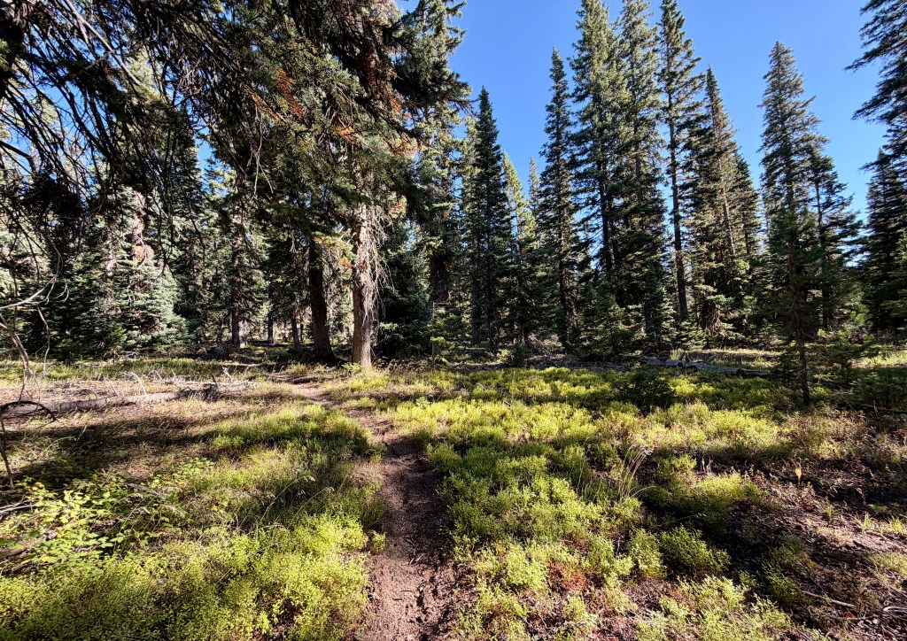
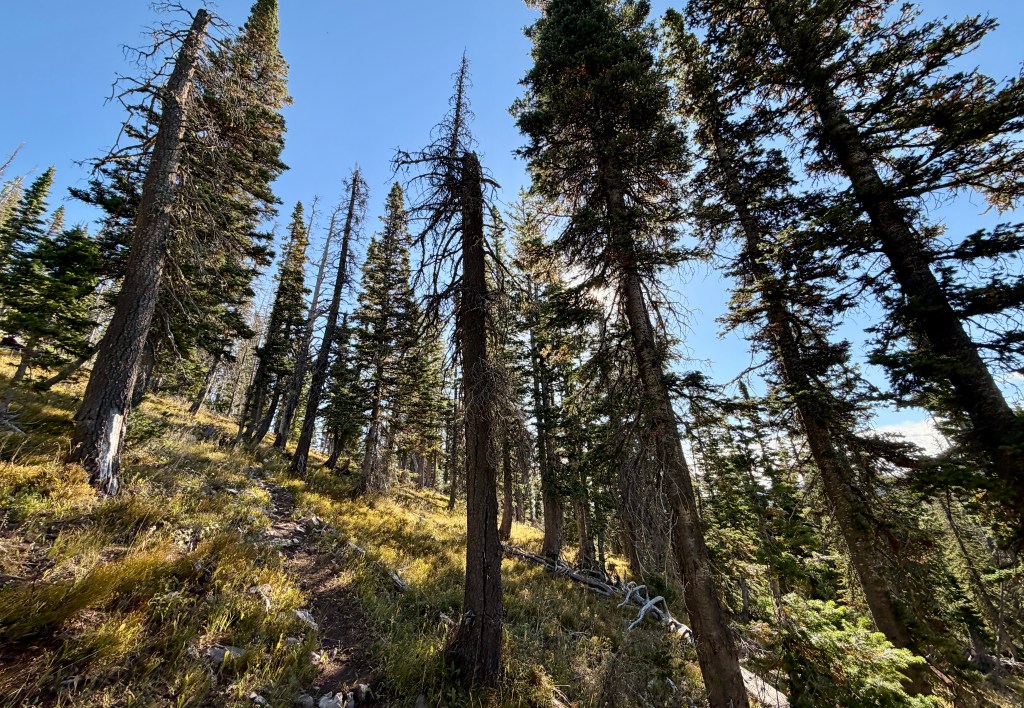
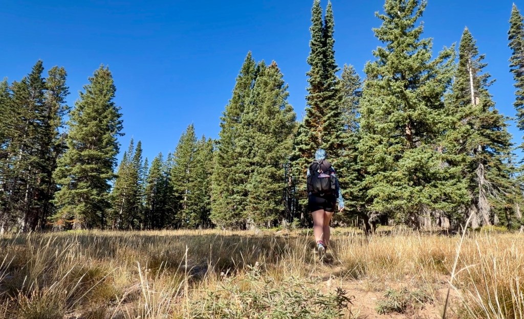
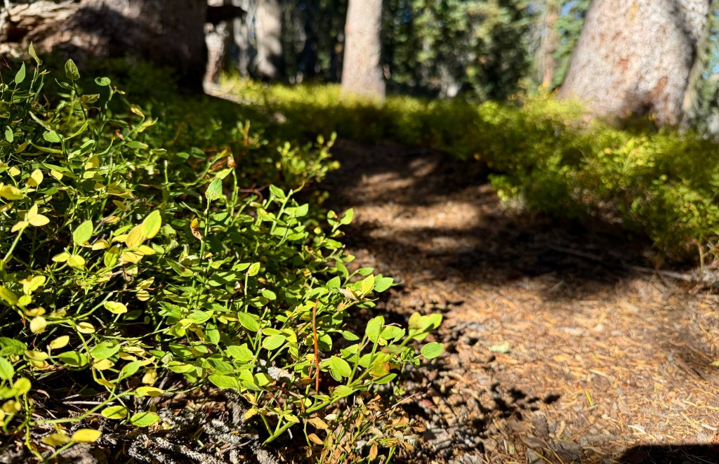
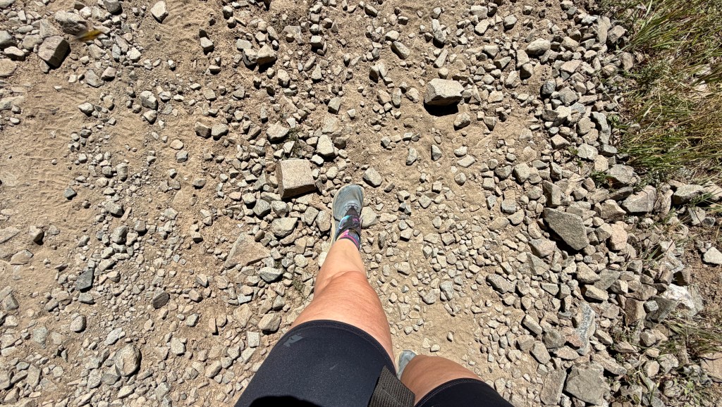
After about 1.3 miles the singletrack meets the forest road, and the CDT follows this road until shortly before the summit. While the scenery was pretty, walking a road, even a rocky forest track, can feel mundane. I realized pretty quickly I could’ve have driven to Bridger Peak, which made me giggle (obviously hiking was always the #1 choice because CDT and all).
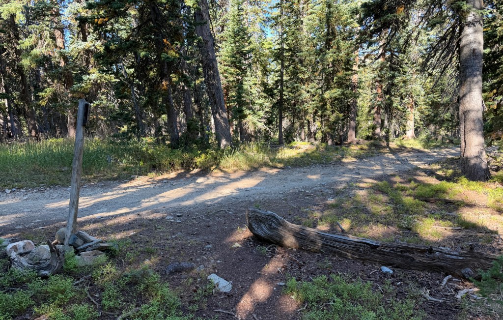
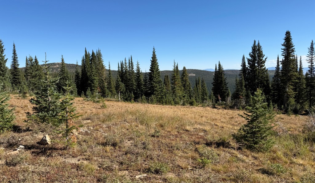
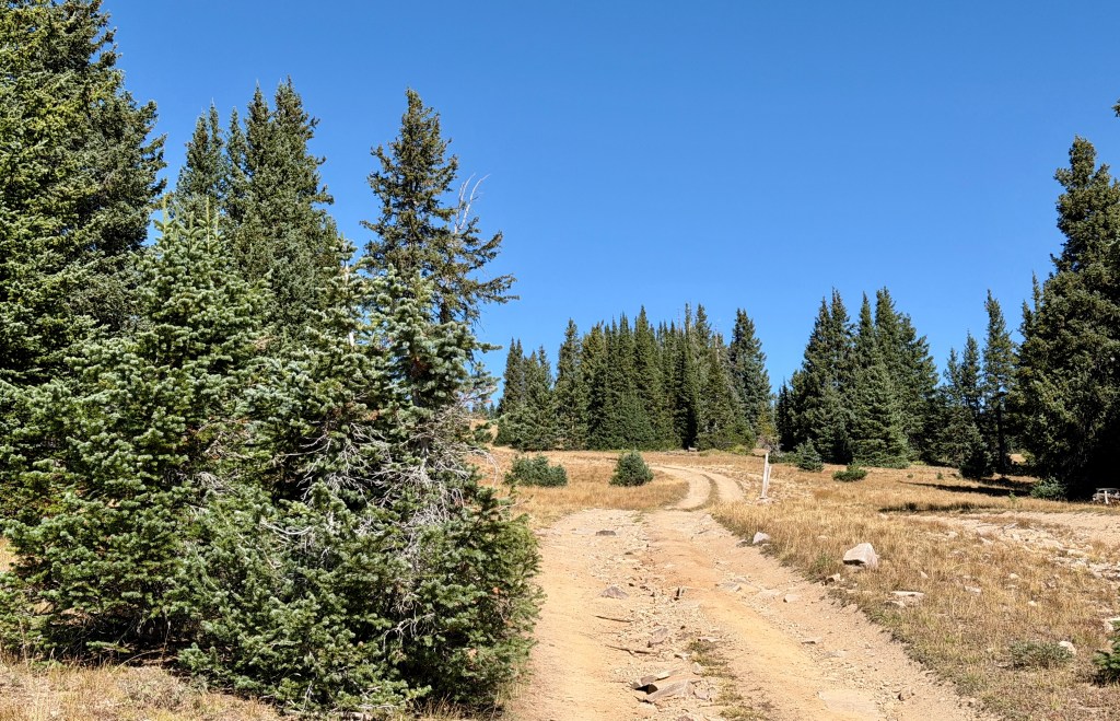
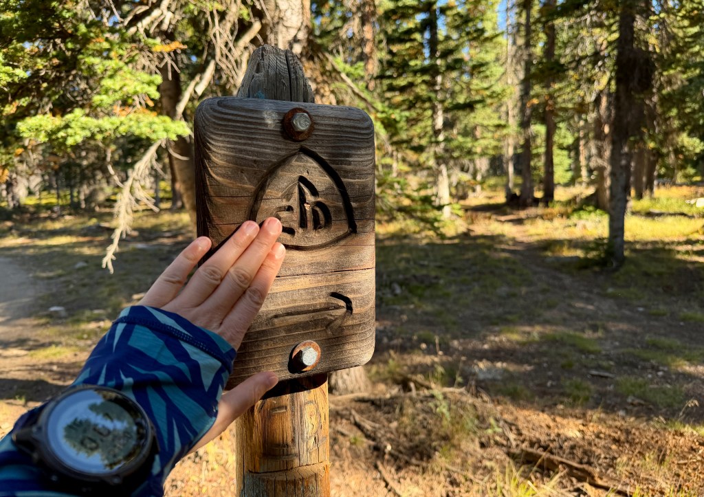
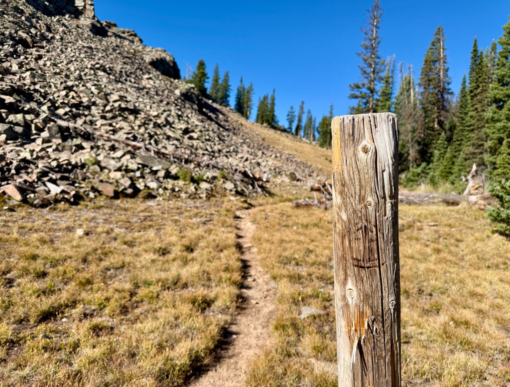
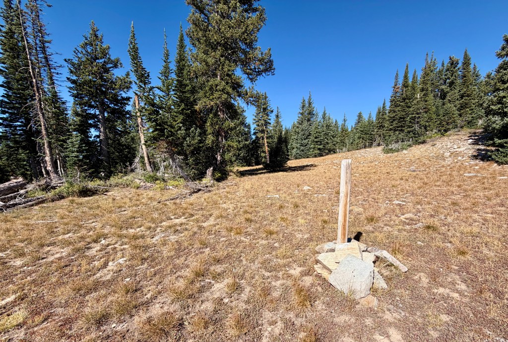
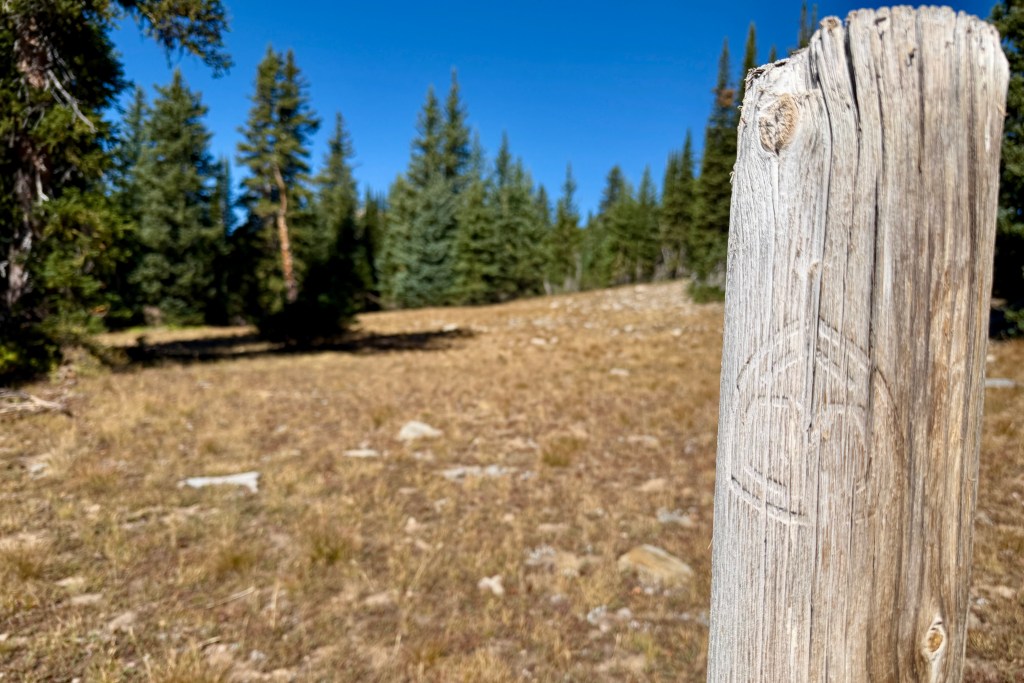
At 3.7 miles, I realized I saw a confidence marker out in the grass. So apparently the official CDT turns off the road, and just goes across open country (or so few people take it, the trail is simply not worn in). Not being able to resist the official route, I picked my way through the sub-alpine tundra. Every footstep counts, eh?
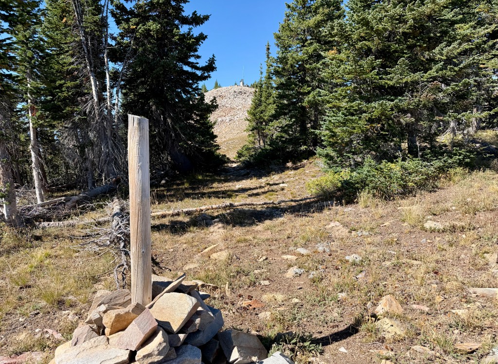
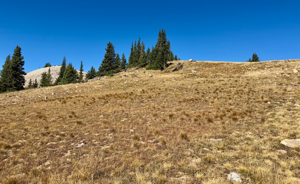
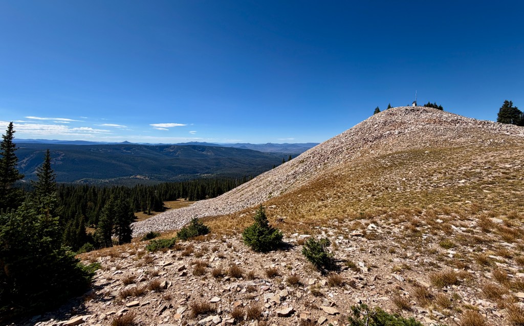
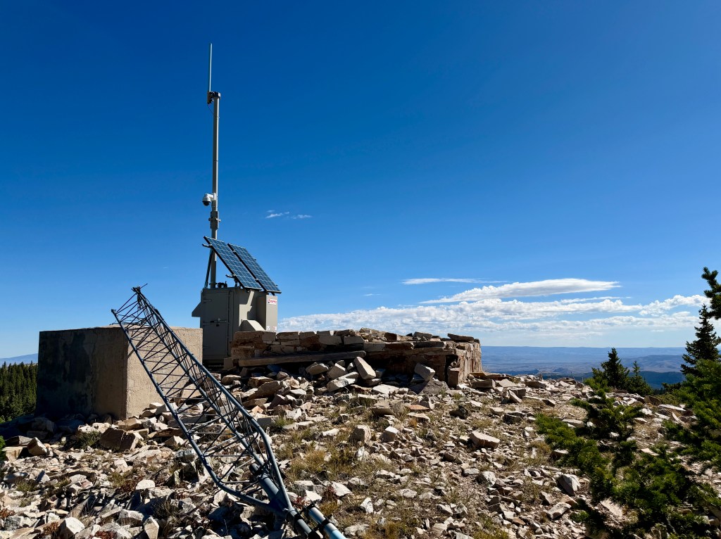
Before I knew it, I was on the summit of Bridger Peak at a little over 11,000 feet in elevation. There was an actual SOBO thru-hiker on the summit, who I tried to chat up before I realized he was on the phone (whoops, sorry!). I skirted around the remains of the fire lookout that once stood on the summit (along with modern day communication and weather equipment), and found a great spot to enjoy an Uncrustable and banana.
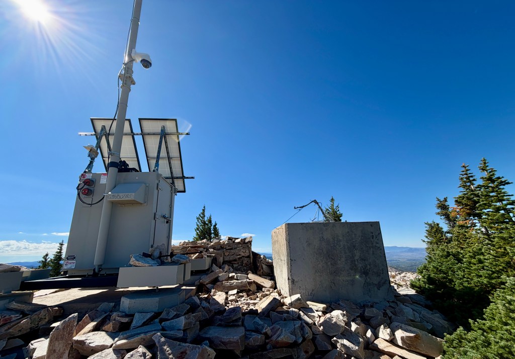
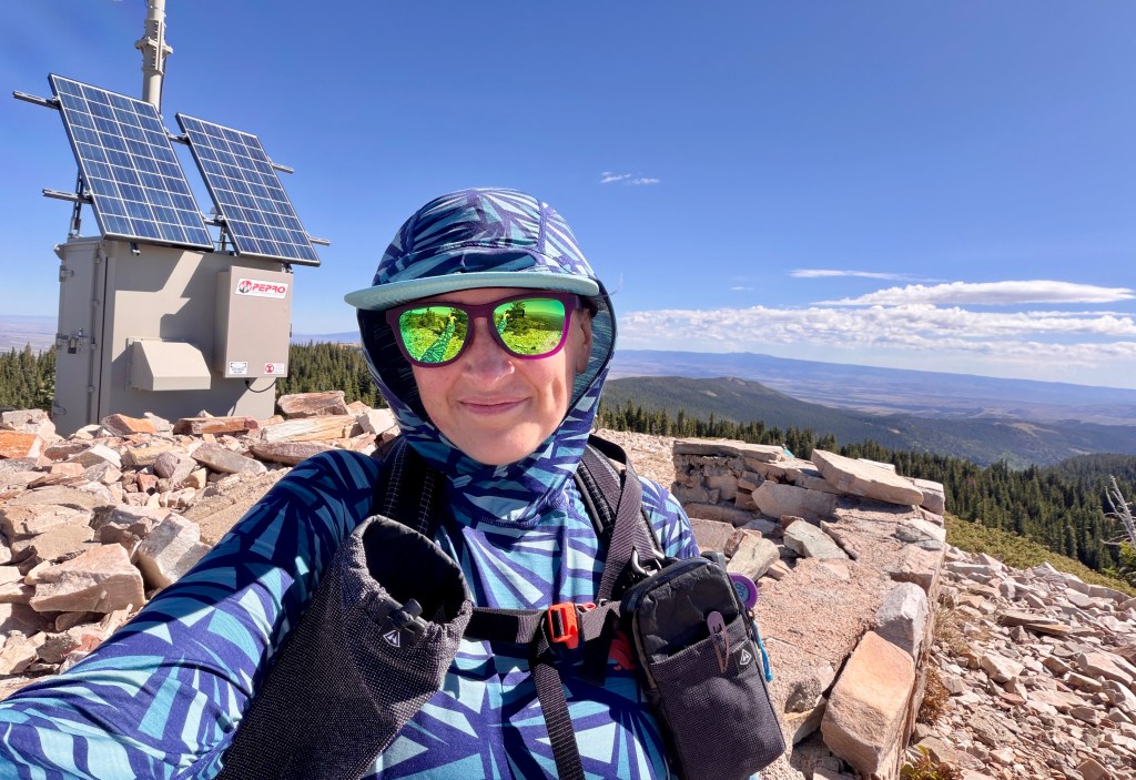
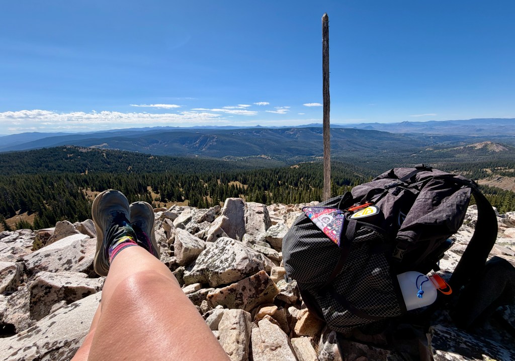
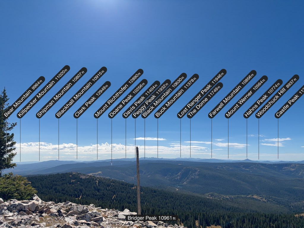
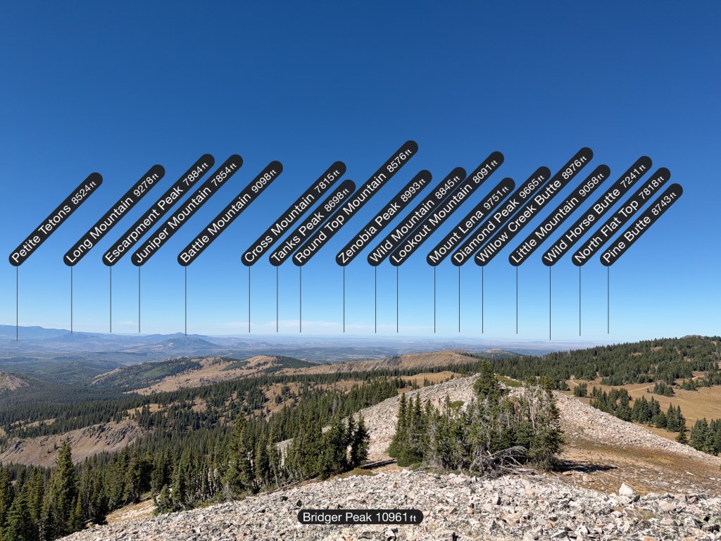
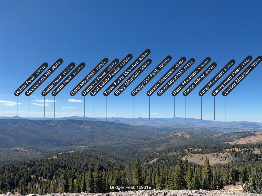
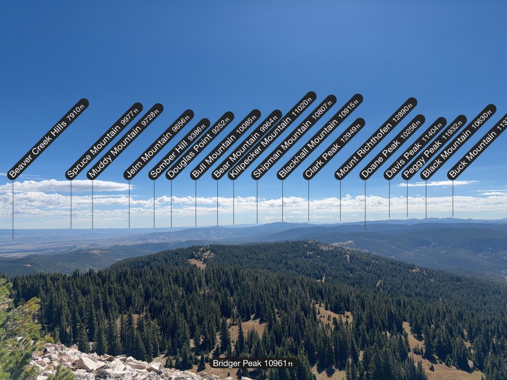
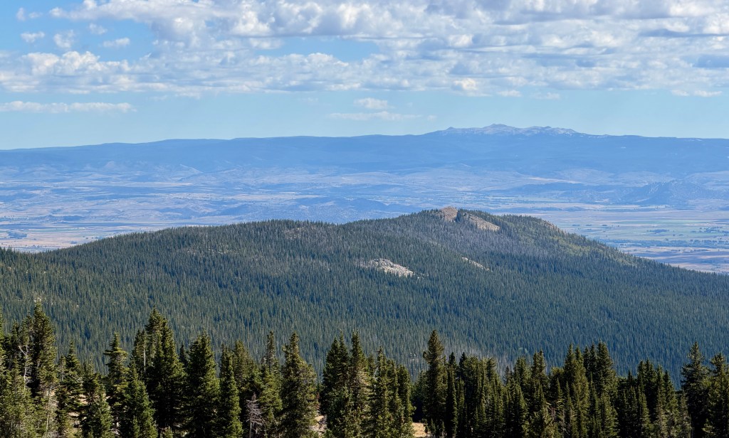
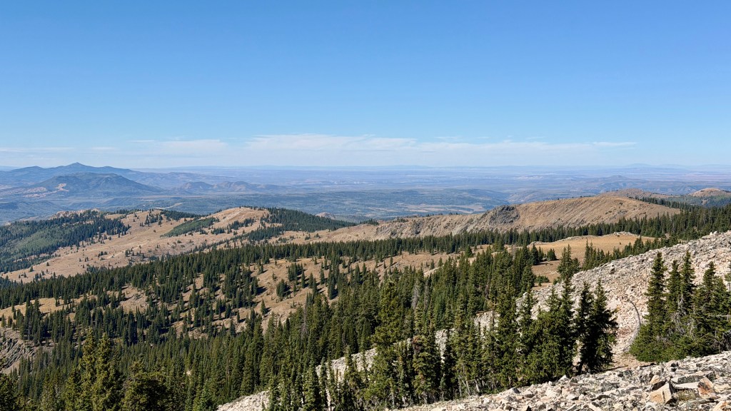
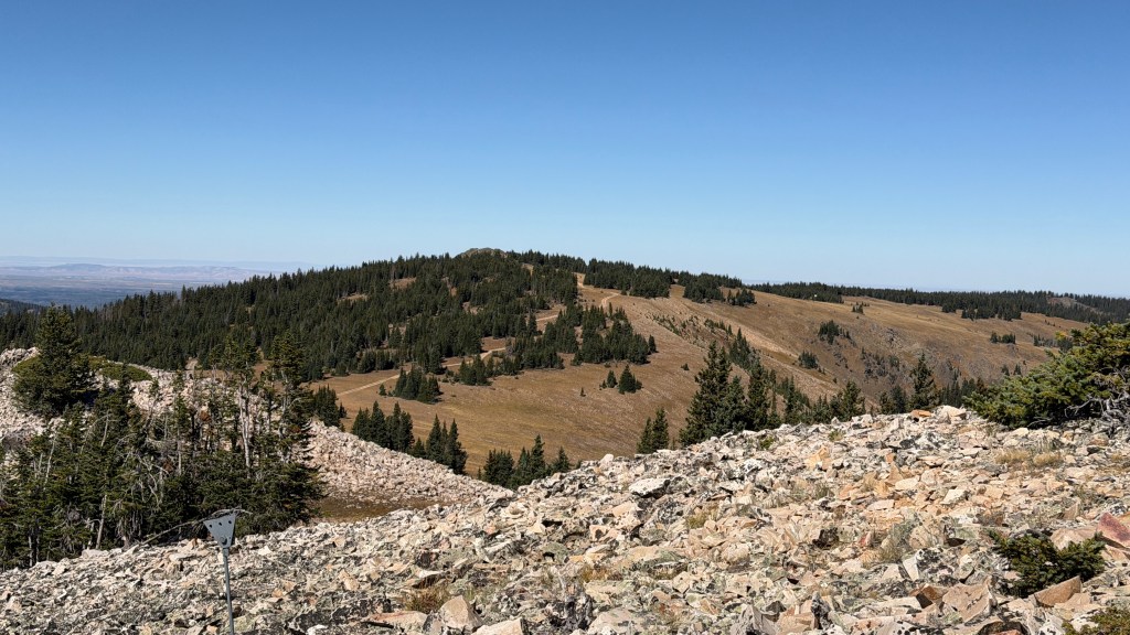
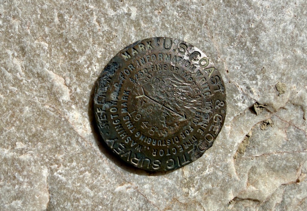
While windy (ummm, this is Wyoming?), I enjoyed my time on the summit, and distant views to mountains I’ve either stood on or have been close to. Of course, I had to drag myself away, and I eventually did, choosing to take the forest road all the way back to the car to change things up a bit.
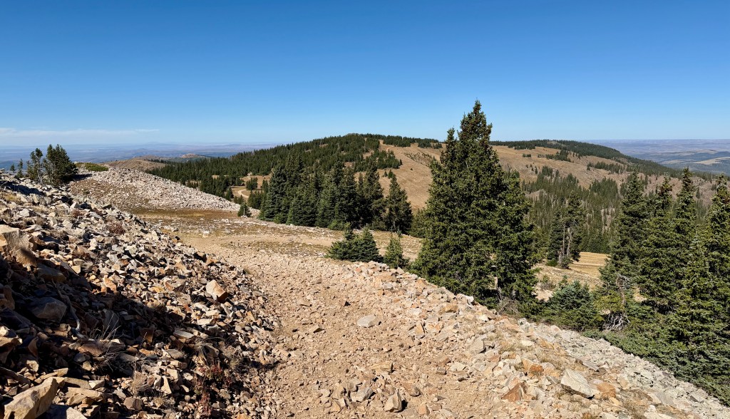
It is funny how the return hike down a mountain always brings perspective on how much elevation was gained. While I felt wimpy on the hike, I came to realize just how steep it really had been, especially after not doing a lot of uphill hiking this summer! At exactly 8 miles (okay, so I walked around the car once to get the GPS off of 7.99 miles) and 3 hours 24 minutes, I arrived back to my car!
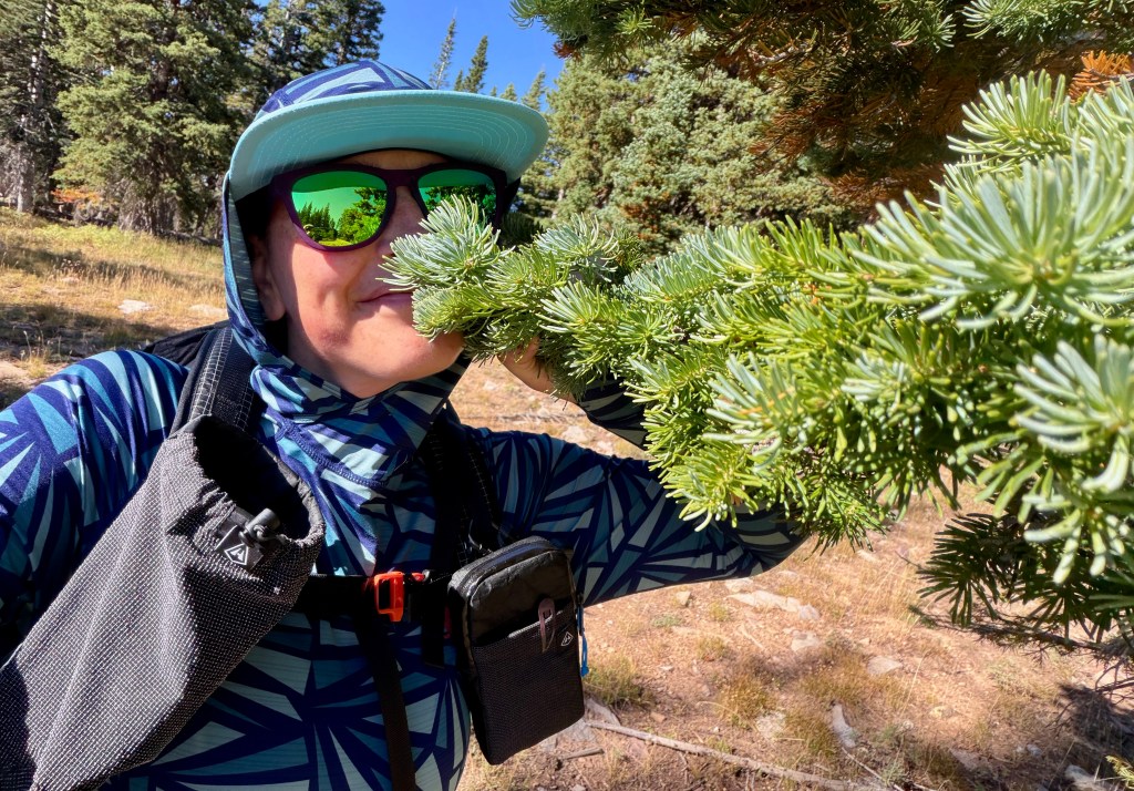
All-in-all, I enjoyed my hike to Bridger Peak. I am not the biggest fan of forest road hikes, but the views were great and the trees smell delicious! And for me, I love ticking off CDT miles! While I have plans to eventually hike south from Battle Pass to Steamboat Springs, I do not really have a plan to do the Battle Pass north to Rawlins stretch, so this was a chance to do a handful of those miles. This is also a great summit hike that isn’t too committing, and isn’t too crazy in elevation gain… but has the views!
Details:
All Trails Link
Date Hiked: September 6, 2026
Trailheads: Bridger Peak Road Historical Marker (look for a CDT marker on the right shortly after descending from Battle Pass southbound on Highway 70)
Total Mileage: 8 miles (Garmin Enduro 3)
Total Elevation Gain: 1,644 feet
Total Time Spent: 3 hours 24 minutes
Weather: Sunny
Trail Conditions: Dry
Cell Service: Spotty service throughout the hike, with great service on the summit (Verizon)
Special Considerations: This hike will take place mostly on a forest road, so expect ATV, side-by-side, and vehicle traffic (I found all traffic to be super polite). All Trails’ version does not follow the exact CDT, so watch for CDT confidence markers if desiring to hike all the way on the actual CDT. Hunting season (bird along with bow and rifle for elk) begins around end of August, with bow season beginning first, will bring hunters to the area (so wear blaze orange!).





Leave a Reply