
October 14, 2026
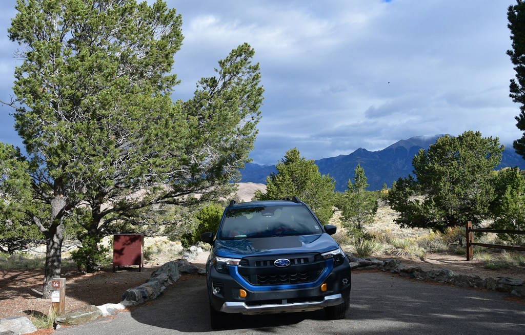
- “We make it sound scary to keep the Priuses away.” – description of Medano Pass Primitive Road by a park ranger (so Subaruable??!?)
- Beer cans are a building supply
- Holy hell it’s windy
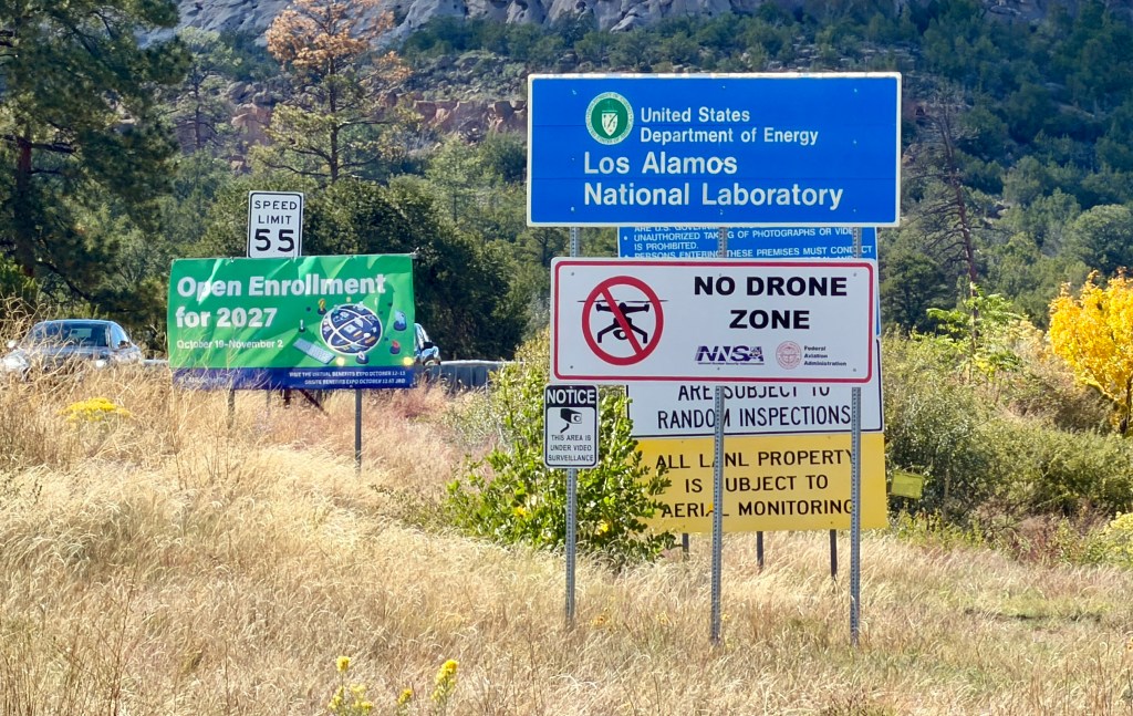
- Don’t trust Google Maps in Los Alamos, lest you end up on highly restricted national laboratory property
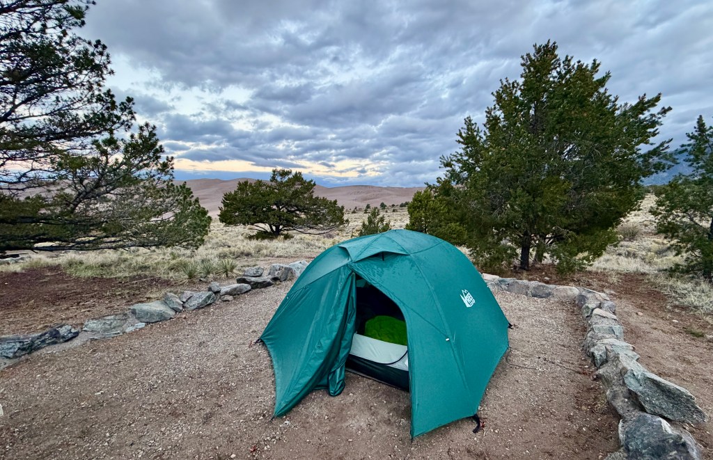
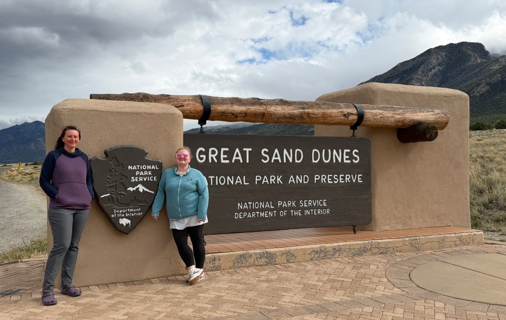
What is it about Great Sand Dunes National Park and me having incredibly noisy neighbors while camping?! While not nearly as bad as my experience at the Zapata Falls Campground in 2023, we did have a rambunctious group of young men hell bent on partying it up starting at 10pm. Thank goodness for ear plugs…
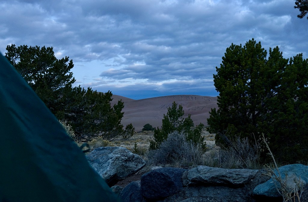
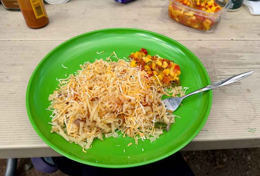
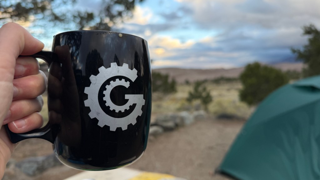
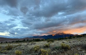
It was a chilly and damp morning as we stirred awake in the tent. With only a bit over three hours to drive to the night’s stop in Bandelier National Monument, motivation was not high to quickly do anything. I took to cooking our only breakfast of the trip that required cooking, some hashbrowns. The highlight was an absolutely beautiful sunrise. I invited some fellow travelers to view it from our campsite, and it was awesome watching her sheer joy over the sunrise.
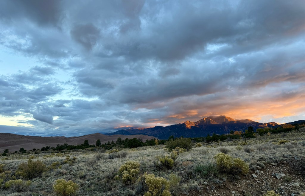
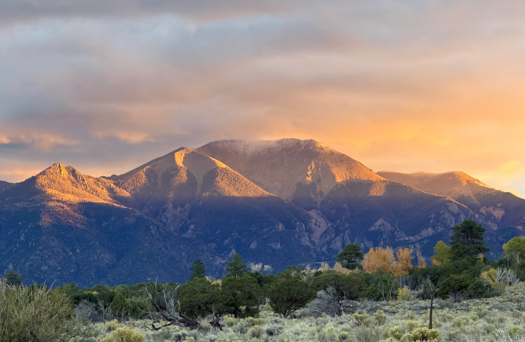
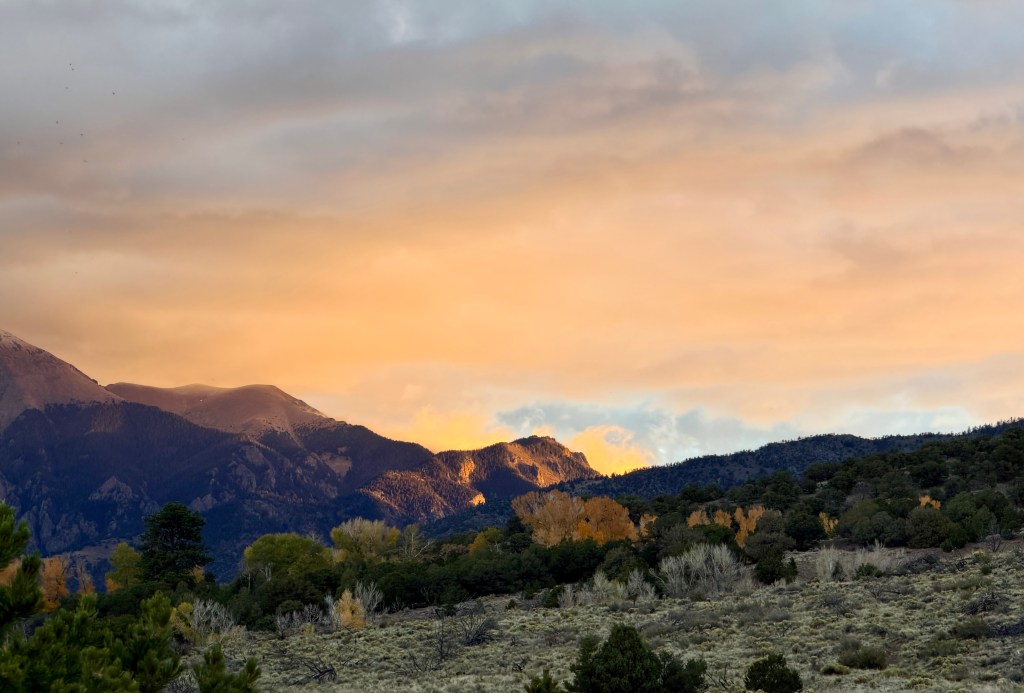
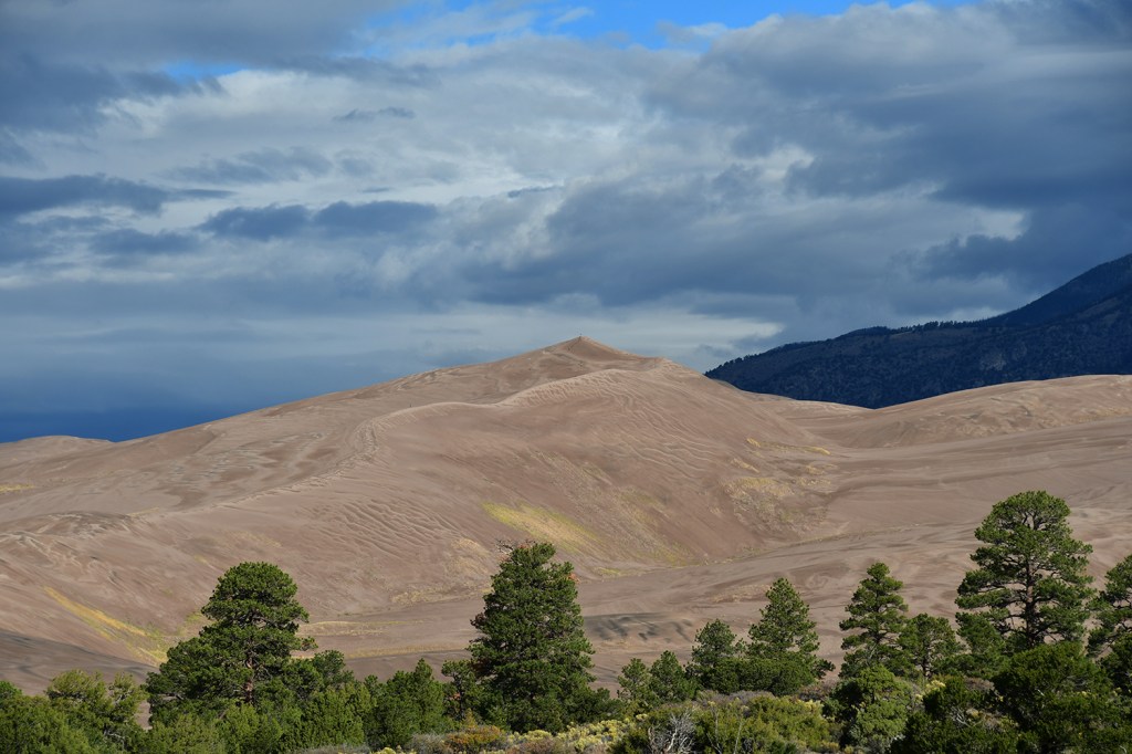
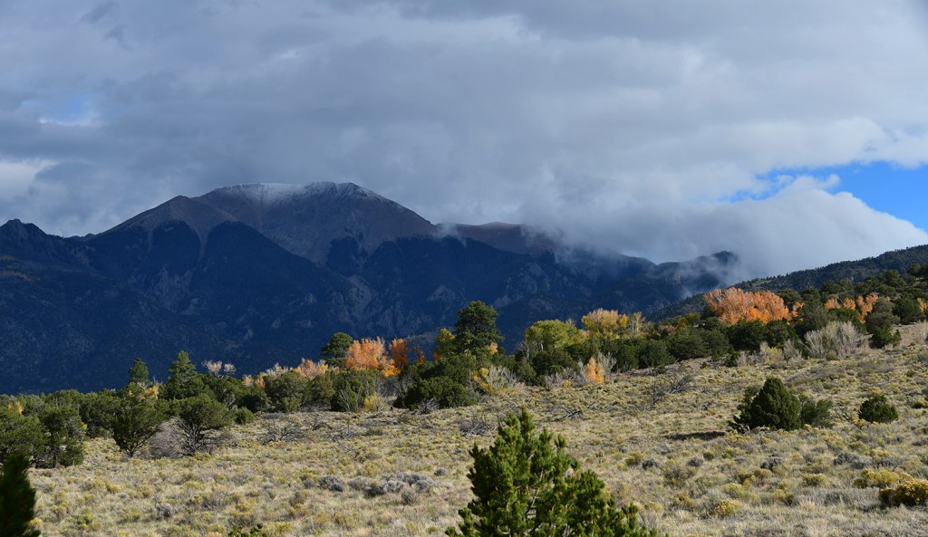
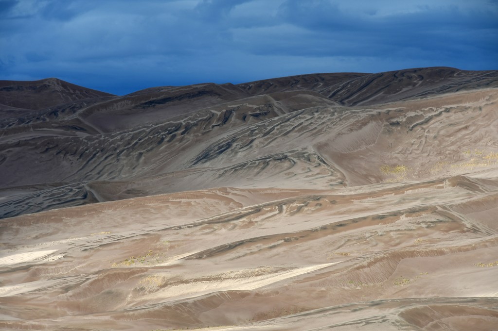
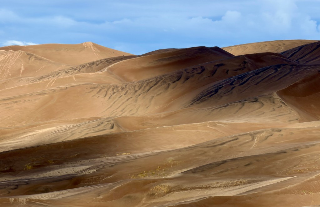
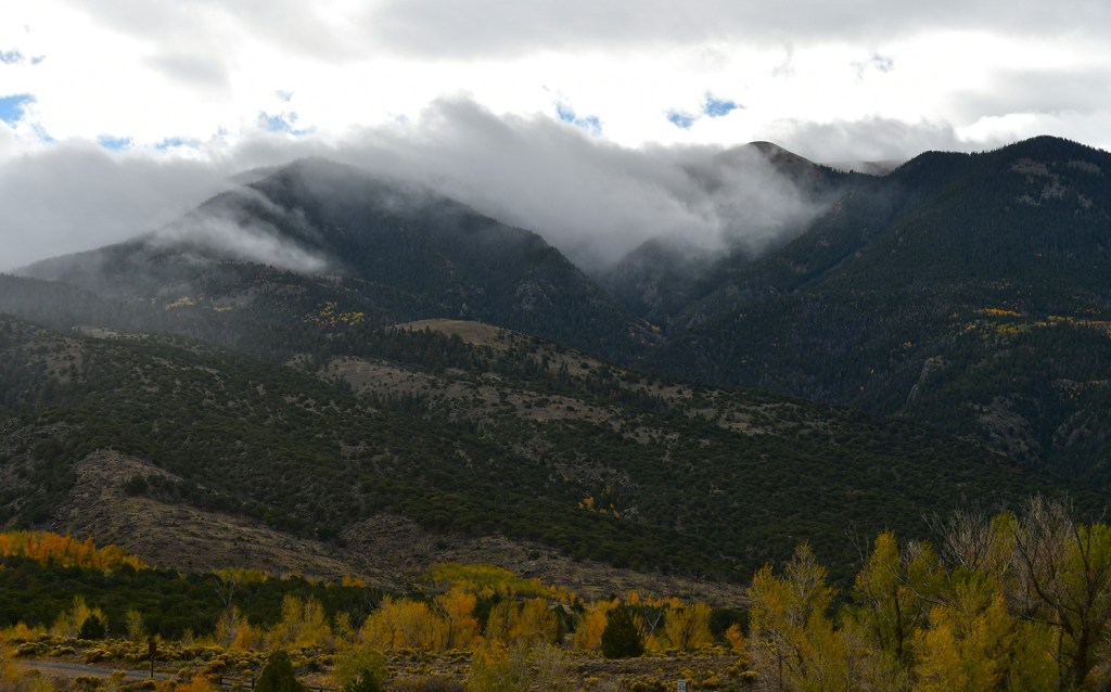
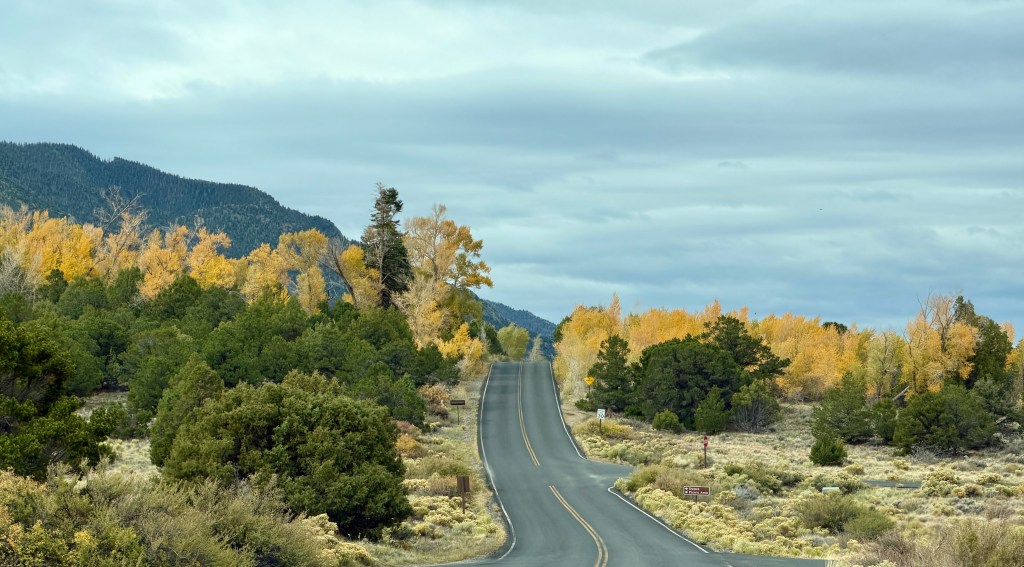
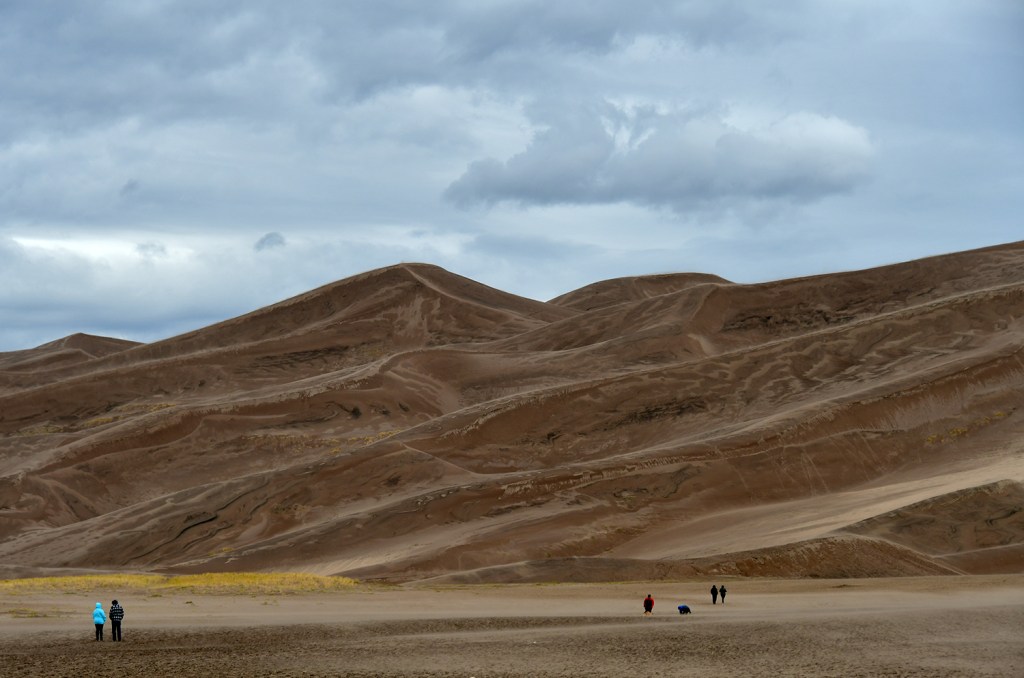
Because it was Lindsey’s first visit, we spent a little bit of time in the sand, of course. Medano Creek was not following (or existent in over a year… thanks, drought), so we were able to walk around that area from the dunes parking lot in a non-soggy fashion. Storms were moving in, and the sand was whipping around. I was happy we would be heading to sunnier skies further south!
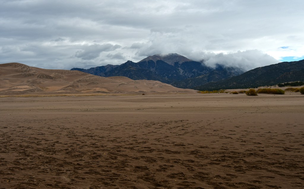
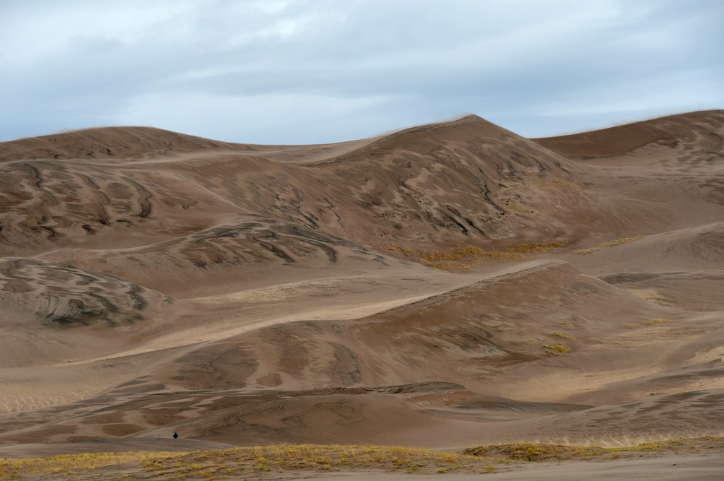
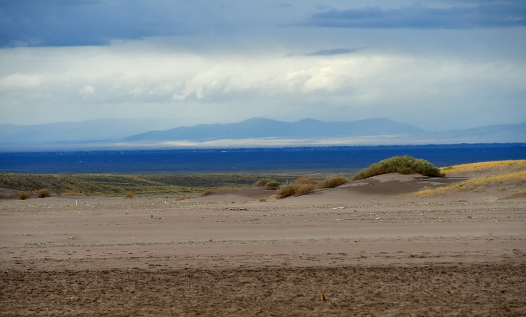
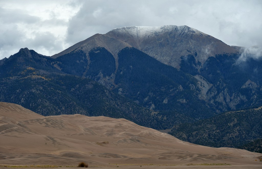
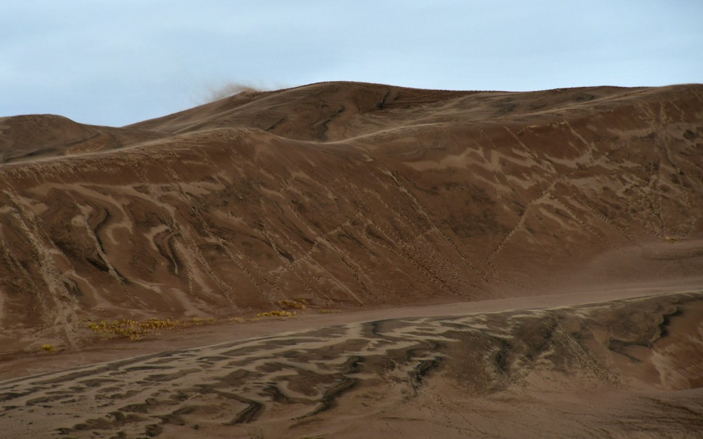
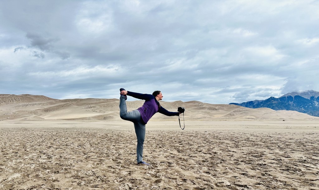
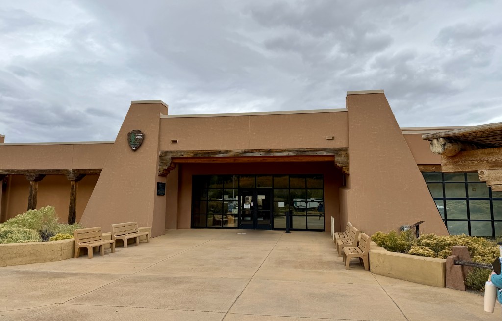
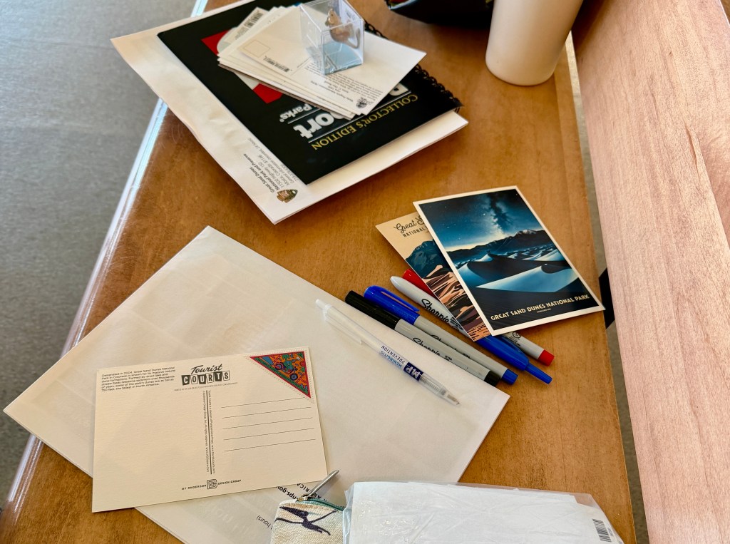
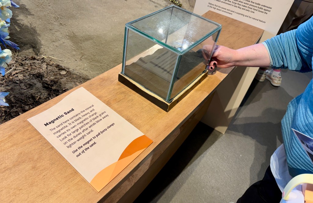
I had not been to the visitor center yet as it was closed in 2023, so we picked up trinkets and took some time to write postcards to drop off in Mosca.
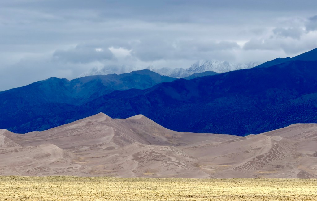
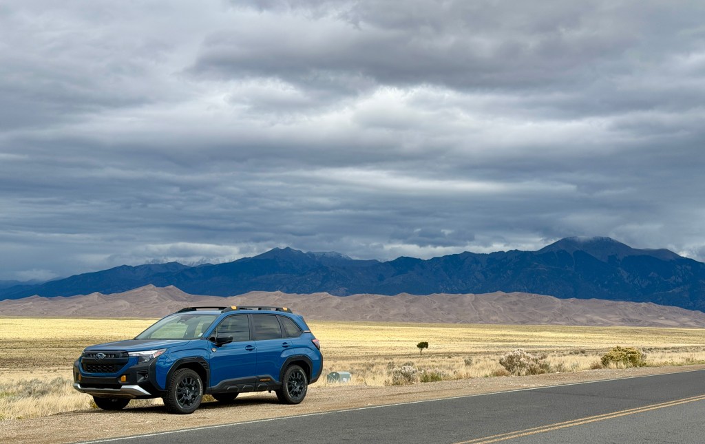
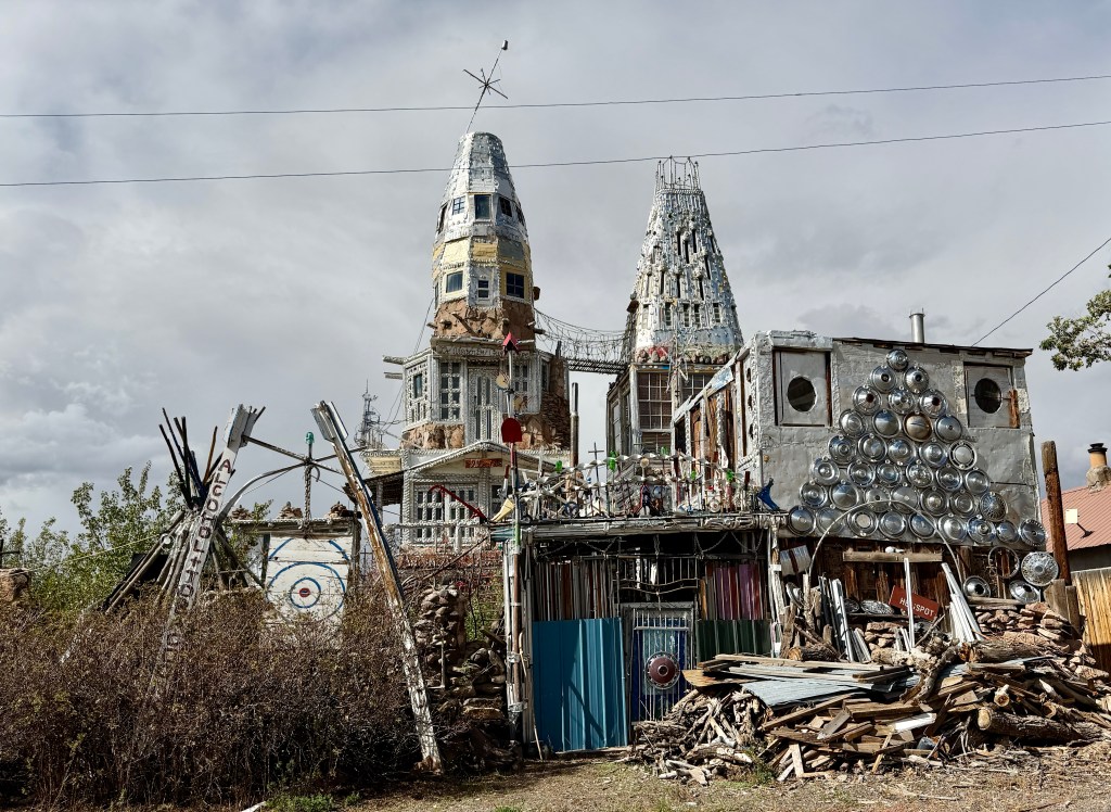
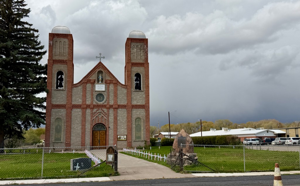
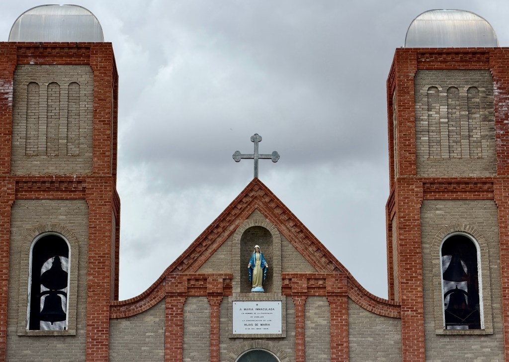
We left the sand behind, driving across the flat San Luis Valley, through Alamosa, and southern reaches of Colorado. Shortly before leaving on the trip I was looking at maps seeing what could be along the way to see, and found Cano’s Castle in Antonito. A one-minute stop, but just the sort of quirky thing a road trip needed!
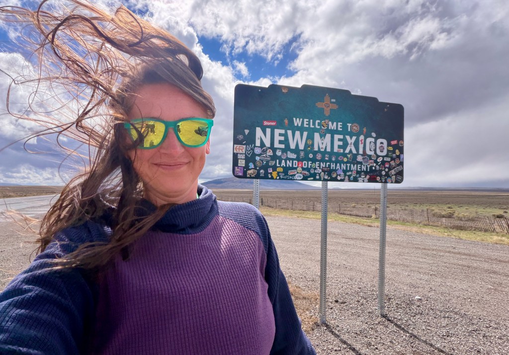
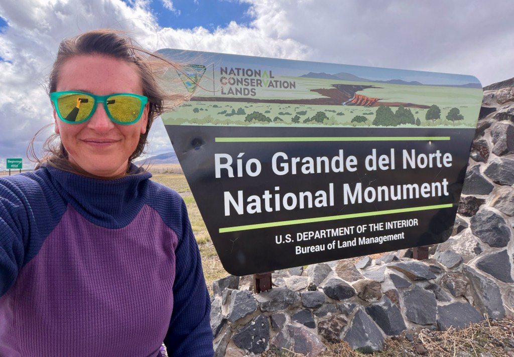
Then… just like that… New Mexico! And a new national monument, Rio Grande del Norte National Monument. We would not be doing anything in this national monument except driving the highway traversing it, but it does seem like it has some intriguing sights… as I always say, maybe one day I’ll return?!
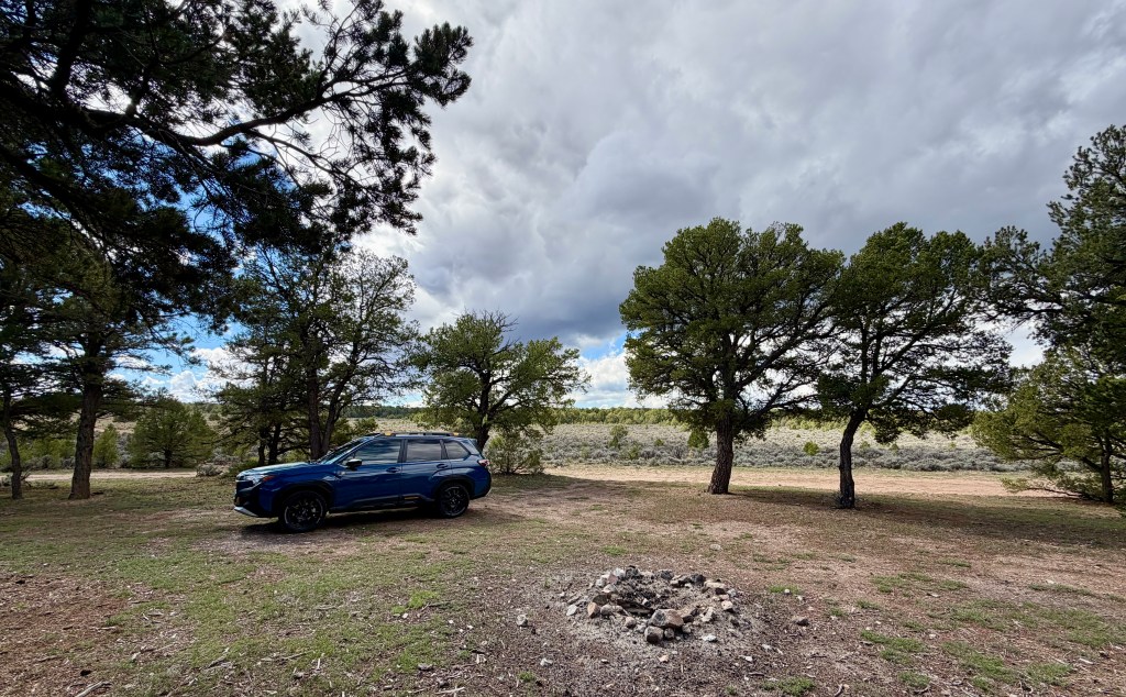
It was insanely windy, but sunny, as we drove through northern New Mexico. I was in new territory, which always excites me. Lindsey took to looking up the distant mountains on PeakFinder for me (hi, Wheeler Peak – New Mexico’s high point!). Eventually we realized it was lunch time, so I swung off on a random forest double track in Carson National Forest, and found a treed dispersed camping site where we were slightly sheltered from the horrendous wind to fix up sandwiches.
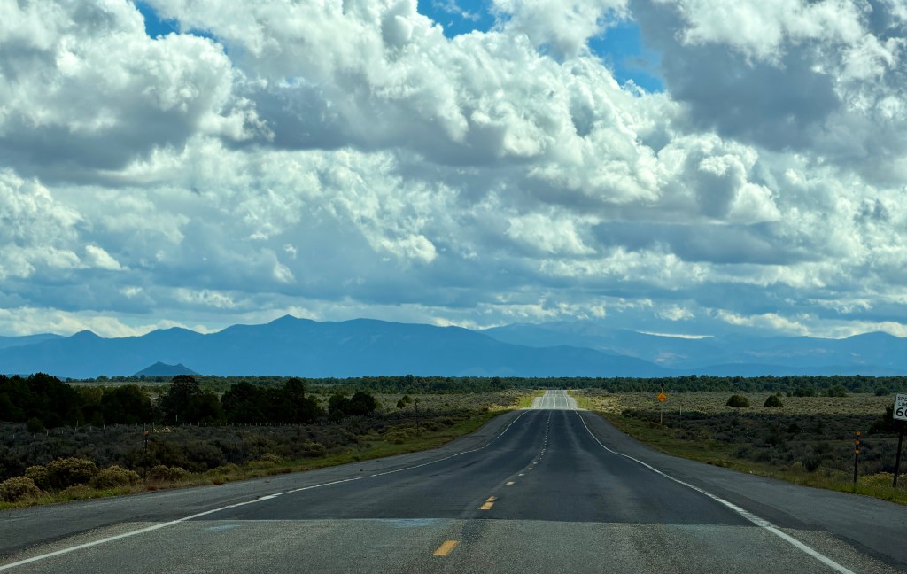
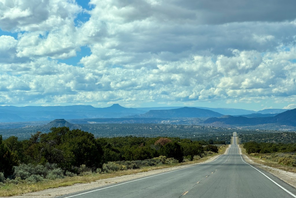
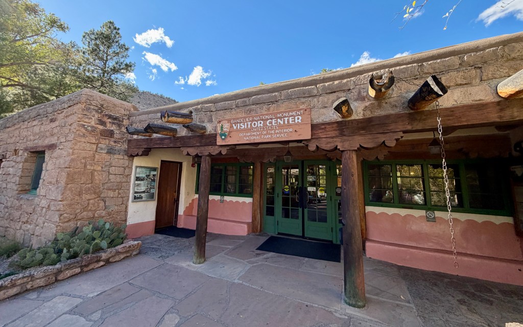
The hike I had picked out for the day was at the outlying Tsankawi unit of Bandelier National Monument just a bit past Española (our fuel stop), which we discovered was closed. Well, poo! I guess all there was to do now was head to the main area of the national monument, catch the gift shop and visitor center, and get camp set up nice and early (appreciated after setting up in the dark the day before). I was super excited to be driving across the land of Los Alamos National Laboratory… until Google Maps tried telling to me enter through a row of guard stations. I panicked and quickly turned away. Google Maps, doing me dirty once again!
Bandelier National Monument is one I have heard a lot about over the years, and it comes highly recommended. As a result, we would spend two nights camping at Juniper Family Campground within the monument.
Bandelier National Monument is a 33,677-acre national monument near Los Alamos, New Mexico. The monument preserves the homes and territory of the Ancestral Puebloans of a later era in the Southwest. Most of the pueblo structures date to two eras, dating between AD 1150 and 1600.
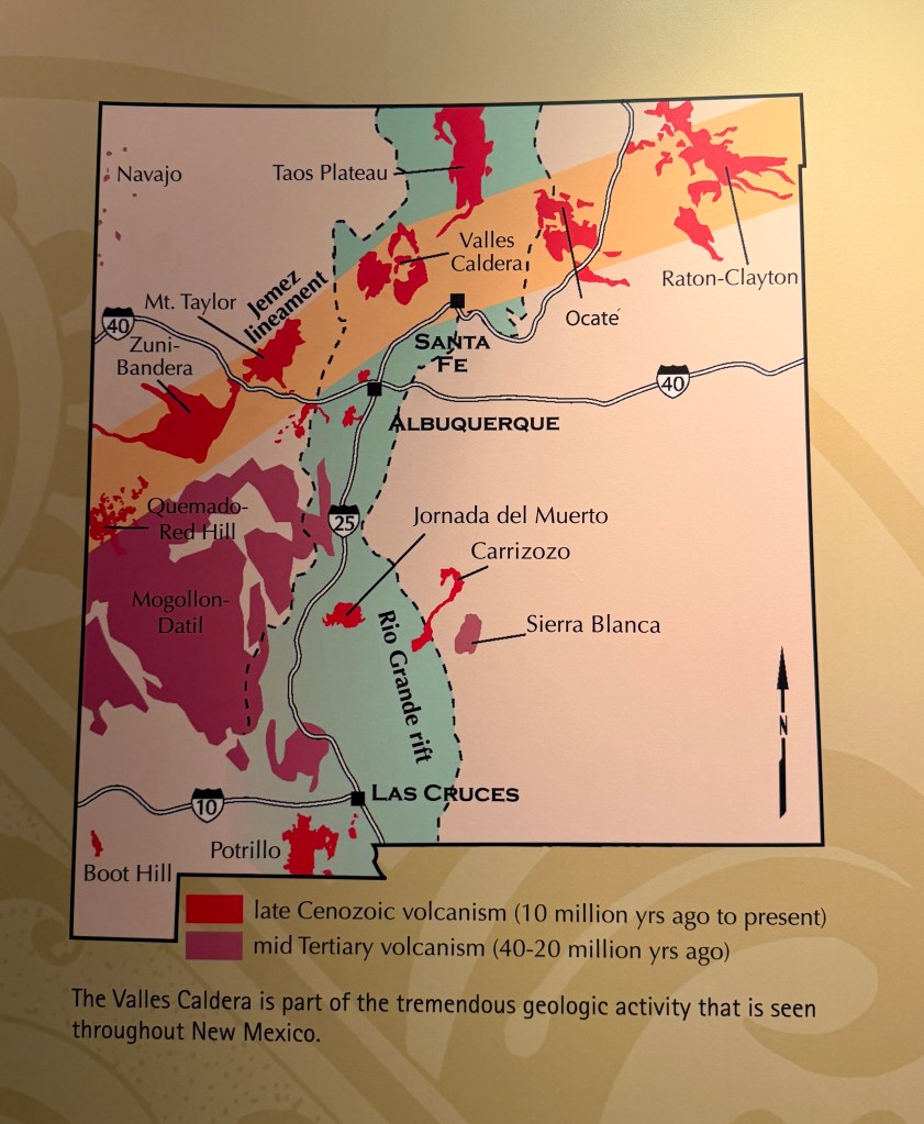
The monument comprises 50 square miles of the Pajarito Plateau, on the slopes of the Jemez volcanic field in the Jemez Mountains. The monument protects Ancestral Pueblo archeological sites, a diverse and scenic landscape, and the country’s largest National Park Service Civilian Conservation Corps National Landmark District. Two-thirds of the park is designated as the Bandelier Wilderness Area.
Bandelier was designated by President Woodrow Wilson as a national monument on February 11, 1916, and named for Adolph Bandelier, a Swiss-American anthropologist, who researched the cultures of the area and supported preservation of the sites. The park infrastructure was developed in the 1930s by crews of the Civilian Conservation Corps and is a National Historic Landmark for its well-preserved architecture. The National Park Service cooperates with surrounding Pueblos, other federal agencies, and state agencies to manage the park.
The Frijoles Canyon Overlook was our first stop, and was a short walk to a view into the canyon, where the visitor center and facilities lie, along with most of the popular hiking options. This is when I started to notice how Mount St. Helens is the reference point for everything in this region, and they love mentioning how the supervolcano underlying this area exploded much more powerfully. Everywhere we turned… a photo of Mount St. Helens… my nemesis…
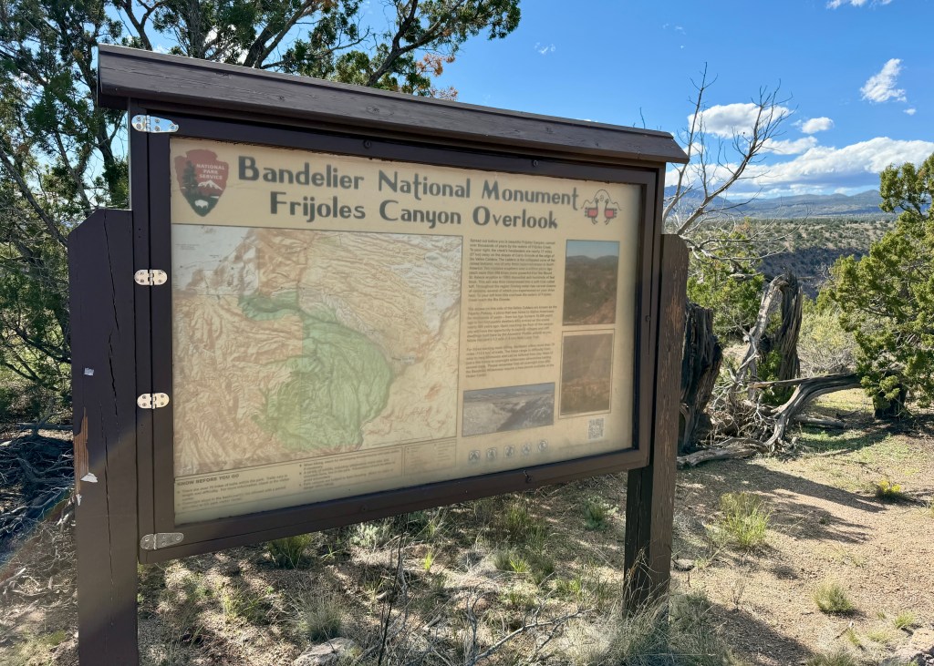
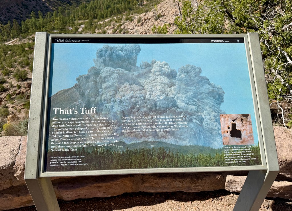
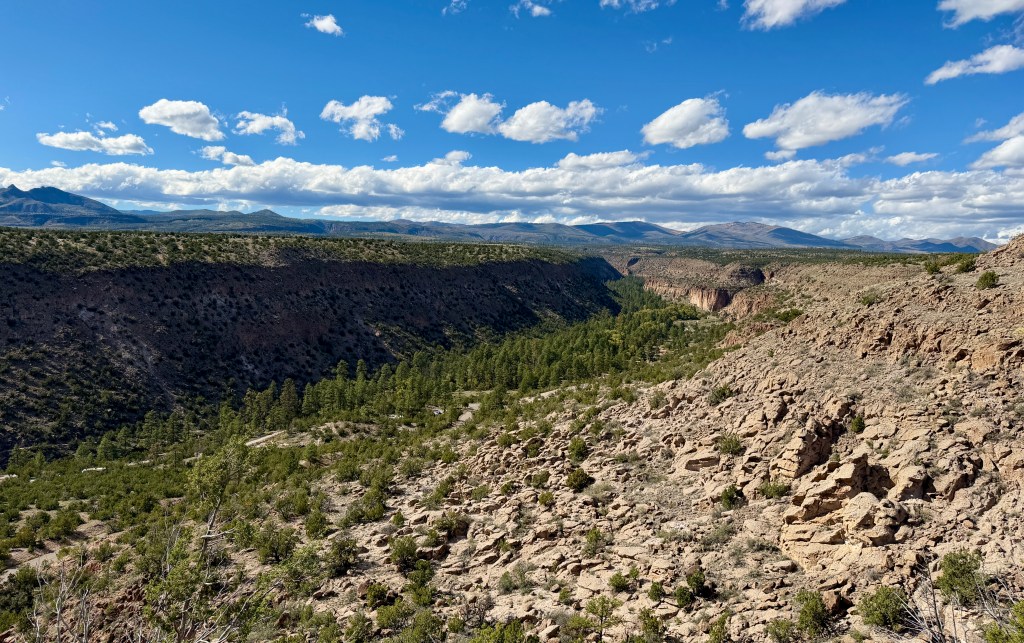
Next up was driving down to the bottom of the canyon, and raiding the gift shop for all the postcards. The cashier pretty much said I was stupid for spending what I did on them, which seemed a bit off, but did not deter the pile of Lantern Press postcards I walked away with. Then we headed to the visitor center where we picked up Junior Ranger books to complete. Lindsey has never done a Junior Ranger book, so I knew I had to change that! Seeing as the next day was my birthday, and I’ve been sworn in before (my 40th birthday at Timpanogos Cave!), it just seemed right to continue the tradition!
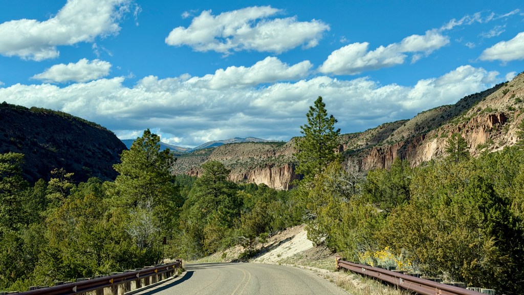
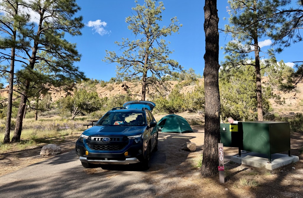
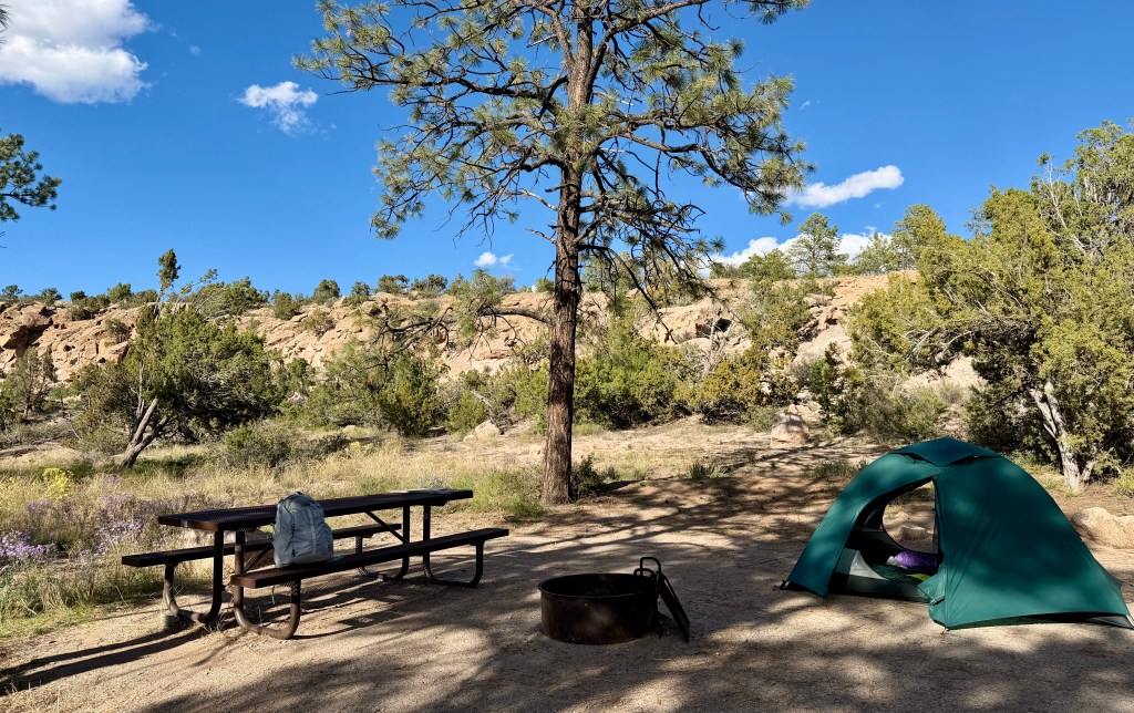
The campground is looked on the top of the canyon, so back out we drove to nearly the entrance. The campsite I reserved was #30 on the Black Bear Loop, and it was a gorgeous one! A Wednesday evening, the campground seemed pretty quiet as we set up. The tent was quickly set up (and dried quickly, too!), and we decided a short hike was in order before making dinner and settling in to see what horrors awaited us in the Junior Ranger books (I always hate having to draw!).
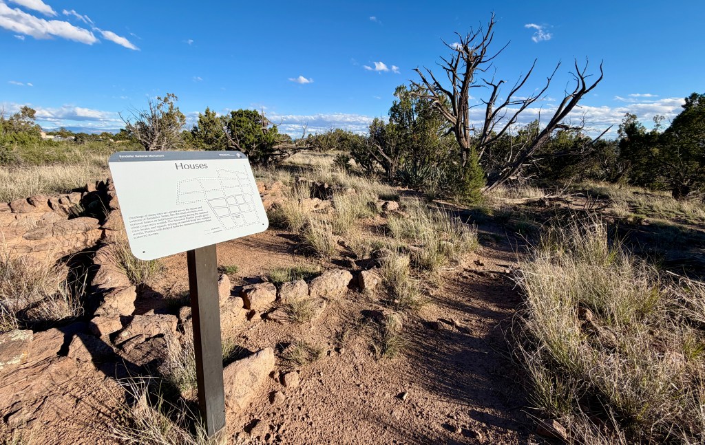
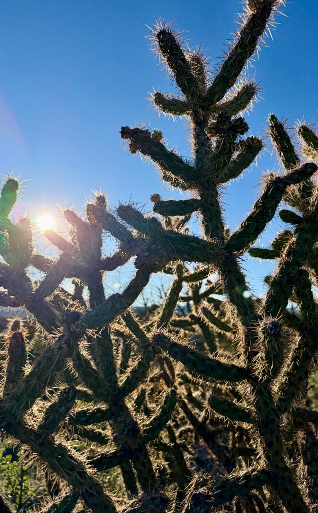
Tyuonyi Overlook Trail was easier accessible from the campground, so we set out straight from our campsite. This trail provides great views into Frijoles Canyon, and it is easier to walk as far as you want, and then turn around. We ended up doing this, getting our fill of views before the end of the trail. It was also hard hiking straight into the sun, which made seeing anything a rather difficult task. Still, a nice way to shake out all the miles of driving!
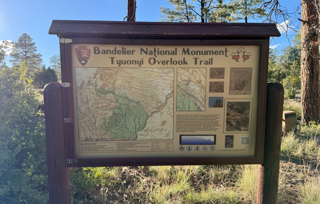
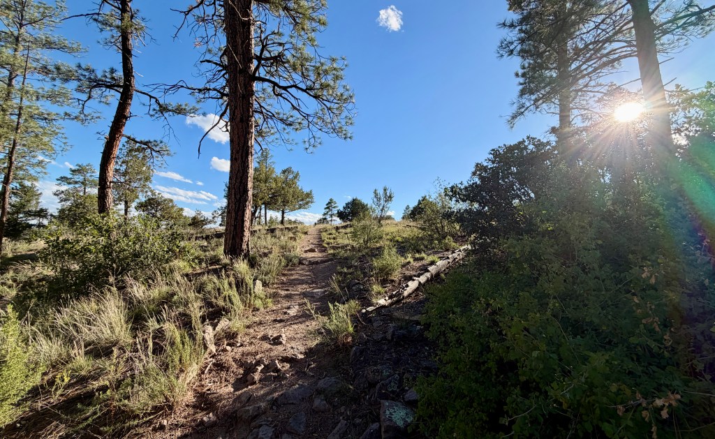
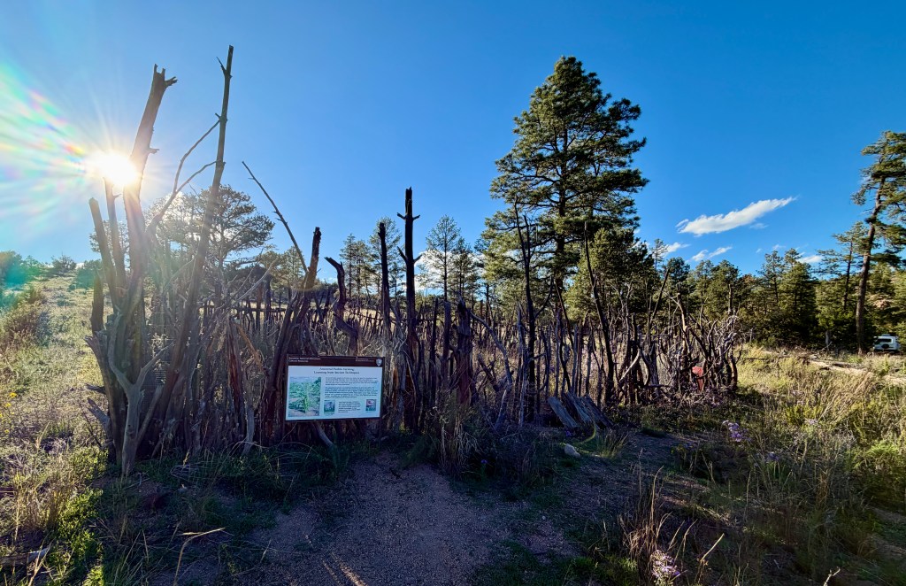
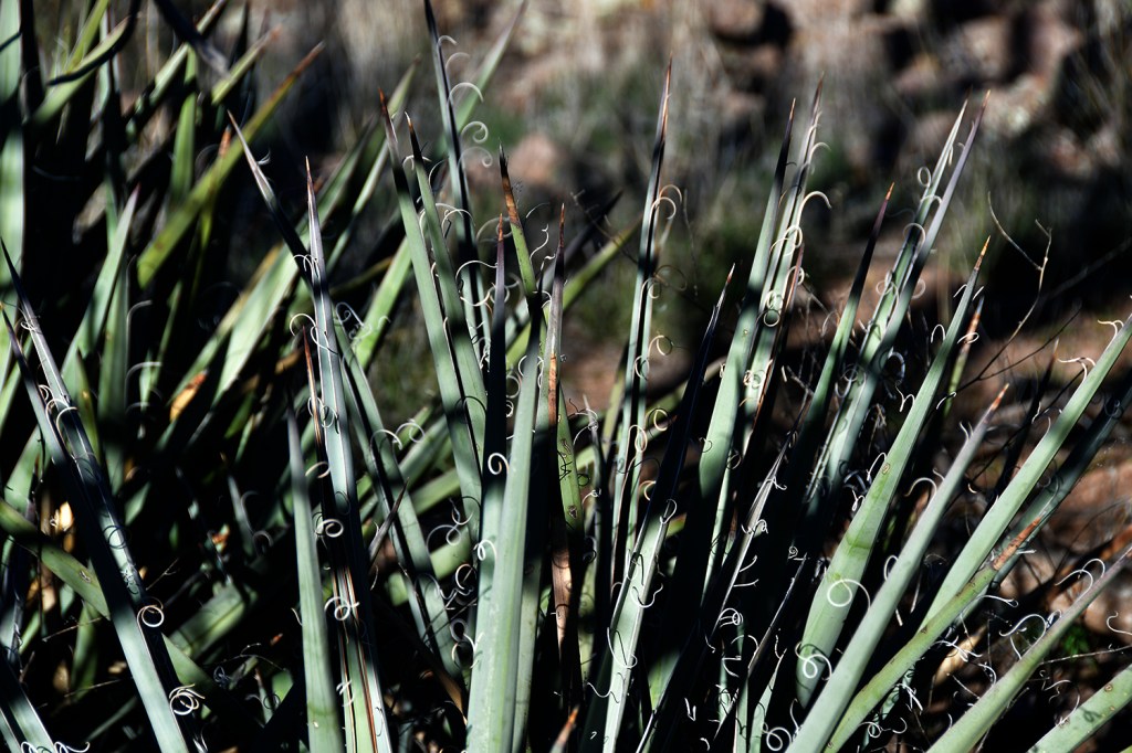
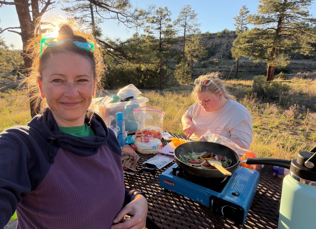
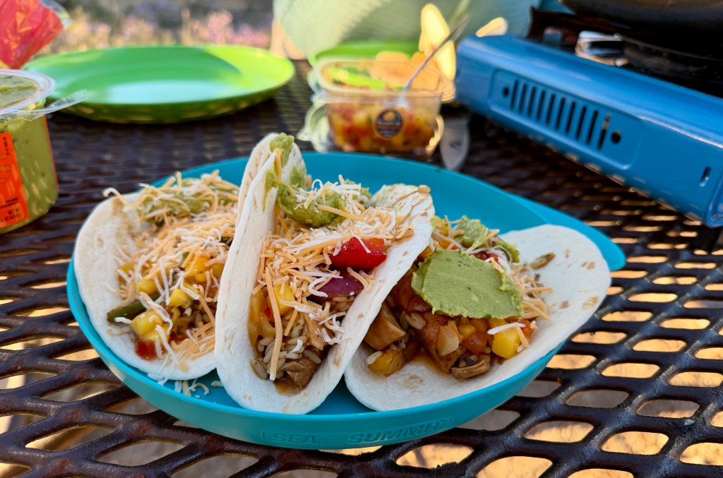
Little hike completed, it was time to fix up some fajitas. We made entirely too much food, which Lindsey encouraged me to try to eat it all. I eventually gave up, defeated after about six helpings! Then it was postcard time, and Junior Ranger book time… both of our books evolving into rantings about funding of NPS and how we’d ban billionaires. Just the type of shenanigans to expect from us! Then it was lights out, and settling in for another cold night, with lows in the upper 30s.
Goodnight, 42!


Leave a Reply