

Y’all! I just can’t with myself! I keep continually planning, and then driving to, Rocky Mountain National Park to hike… forgetting there’s an entire area the same distance to me with a fraction of the crowds, empty trailhead parking lots, and alpine areas to explore!
After realizing I lacked the desire to wake up as early as a hike in RMNP would require, I turned my attention what I could find near Cameron Pass in terms of a longer day hike. Remembering I had vaguely seen something about a blue lake I deemed (at that time) “too far to day hike to,” I quickly took to researching Blue Lake. Wahooooo… I’d be sleeping in a bit, getting my longer mile hike for training reasons, and wouldn’t be fighting crowds!
Just before the Front Range of the Colorado Rockies fades into Wyoming’s Medicine Bow Mountains, the Rawah Wilderness protects a scenic high country of U-shaped glacier-carved valleys and peaks reaching 12,951 feet. To the south and west of the area lies an almost roadless Colorado State Forest, an unofficial extension of the Wilderness. Melting snow fills 26 lakes within the area. On the upper forested slopes of the mountains, especially in the southern section, clusters of old-growth spruce and fir abound. You can expend energy on more than 75 miles of trails.
Wilderness Connect

Arriving just a bit past 8:15am, I easily found space in the trailhead parking lot, which seemed to be mostly filled with backpackers. I was so eager to be putting new dirt on my brand new Topo Ultraventure 4 shoes (hopefully a cure for the retrocalcaneal bursitis my previous brand caused recently backpacking). Let’s get this party started!

Immediately I was plunged into a whimsical scene of thick, lush ground cover and delightful moss as I descended towards Joe Wright Creek. I’m sure I made all sorts of screeching happy sounds as very few things make me as happy as a lush forest scene in the morning after a rain, but on the bright side, there was literally no one else around to witness my glee.


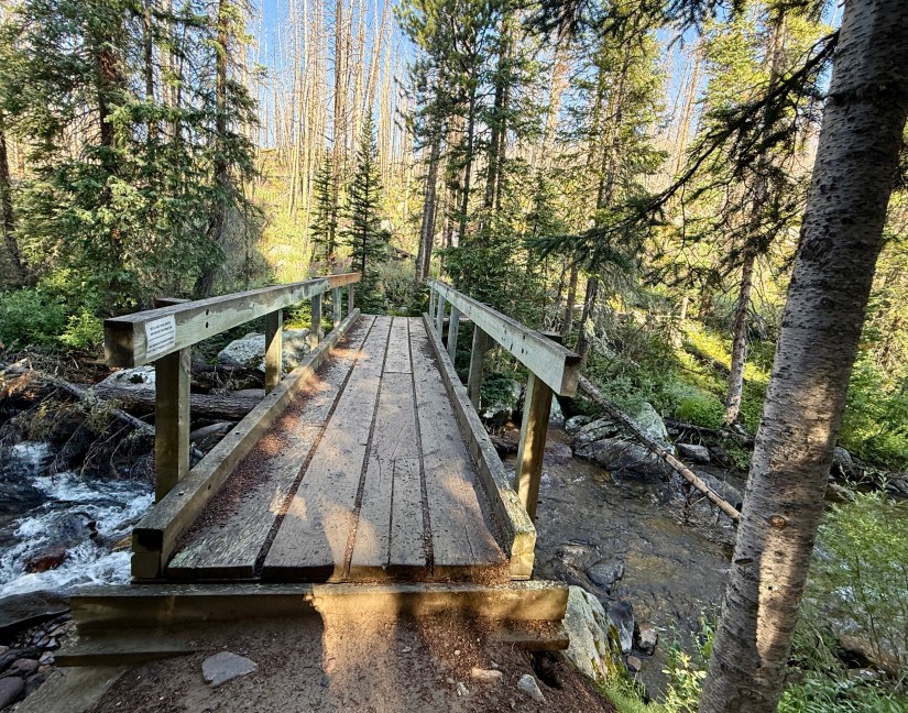
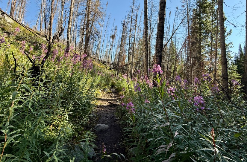
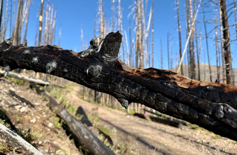
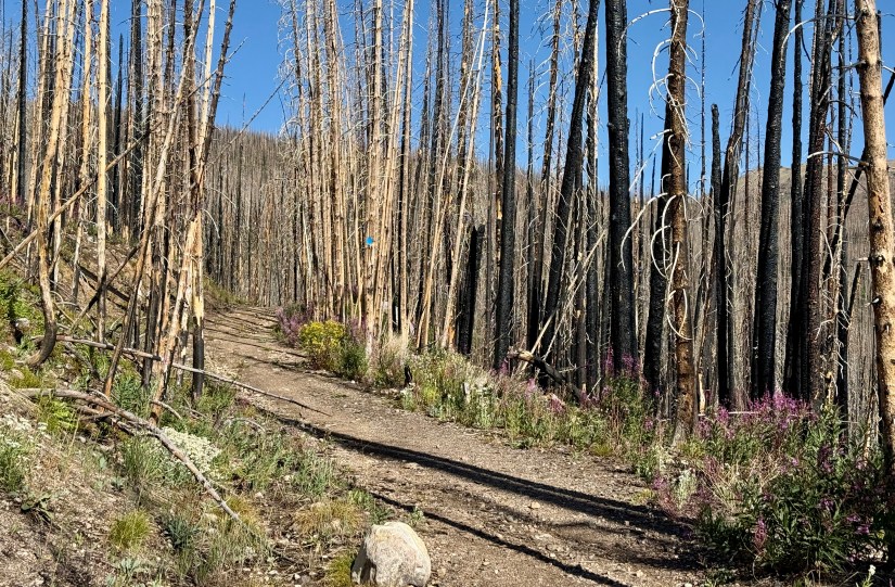
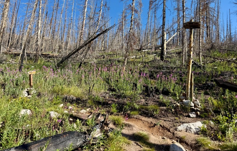
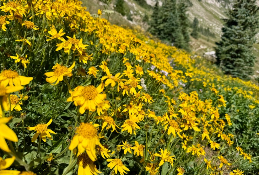
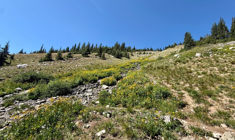
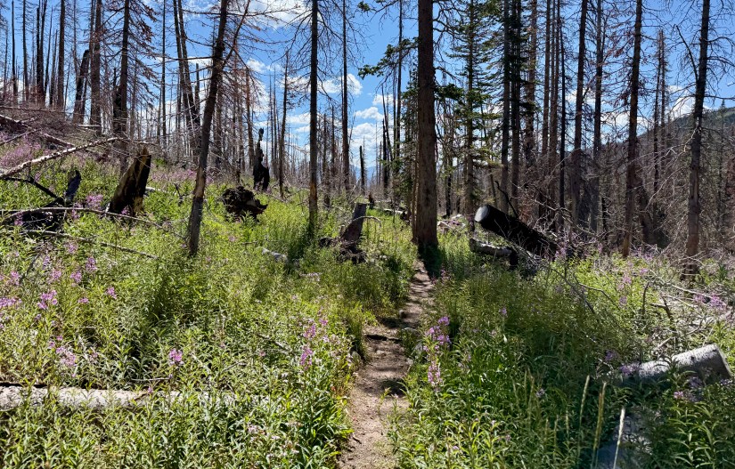
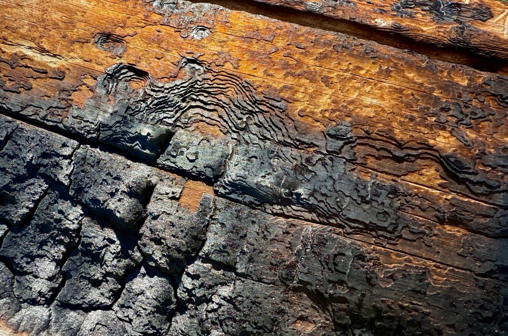
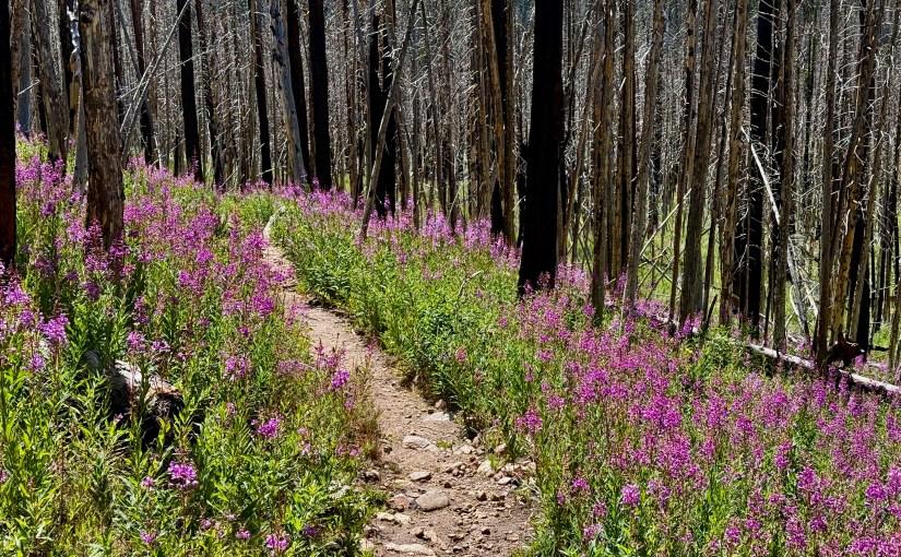
Sadly, after crossing Joe Wright Creek, it was not long before I entered the Cameron Peak Fire burn scar and my lush moss-filled scene was replaced with fireweed and blackened trees. The Cameron Peak Fire, which burned in the autumn of 2020, is Colorado’s largest wildfire to date, burning over 326 square miles (208,663 acres) in a hellacious run that lasted nearly four months. While the devastation from the fire was all around me, I was in awe about the abundance of wildflowers that had taken over, along with tiny pine trees, scrubs, and aspen trees. Apparently this was my hike for getting all philosophical, and I relished in the fact that the scenes around me were teaching me a very importance lesson on how life just keeps moving on.


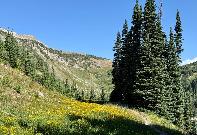
The trail to Blue Lake follows an old logging road for about two miles. This was easy hiking, but hot under the early morning sun. The lack of trees did mean some very good views to the surrounding mountains, and to Chambers Lake.


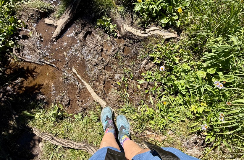
After crossing Fall Creek, the elevation gain begins in earnest, and the trail narrows to singletrack for the rest of the hike as the wilderness boundary is reached. I was surprised to see how overgrown the trail was with lush grasses and fireweed!

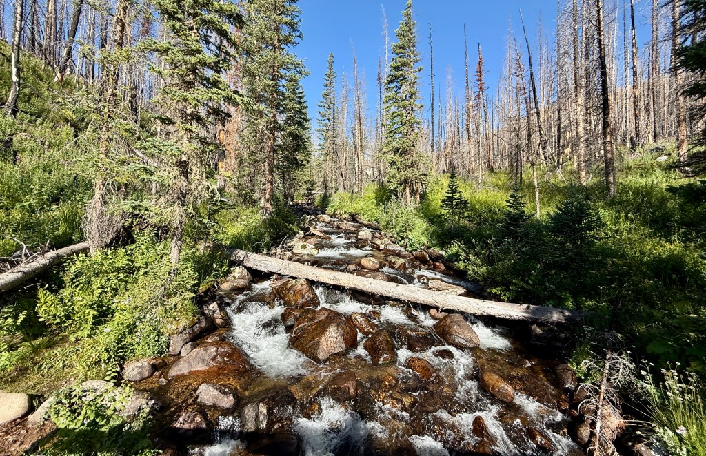


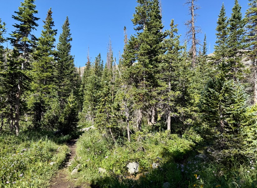
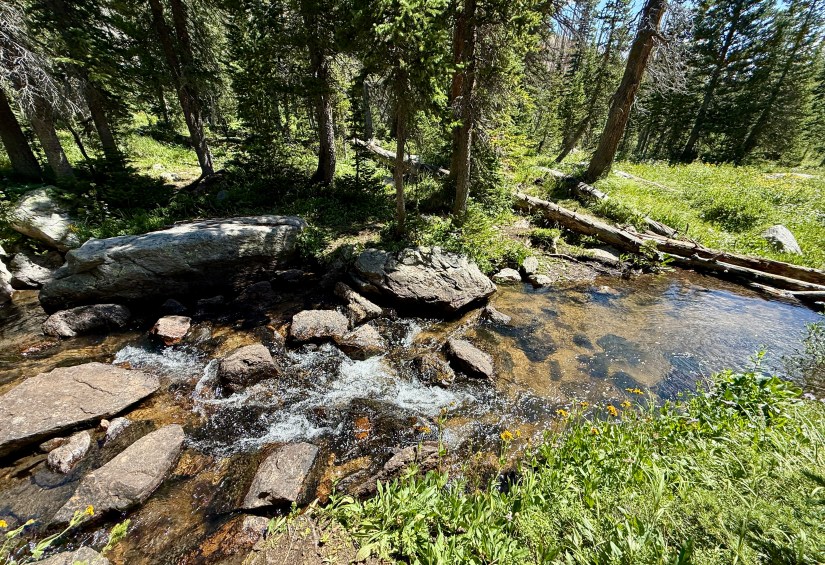
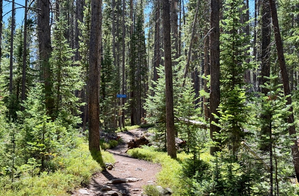
The trail crosses Fall Creek again a little over four miles in. I chose a rather sketchy makeshift bridge of logs to cross, surviving, but knowing I should cross in a different manner on the way back. I was now in living forest, which was nice after miles in a burned area. The elevation gain kept coming in earnest, and I’ll admit I was feeling a bit sluggish at this point.


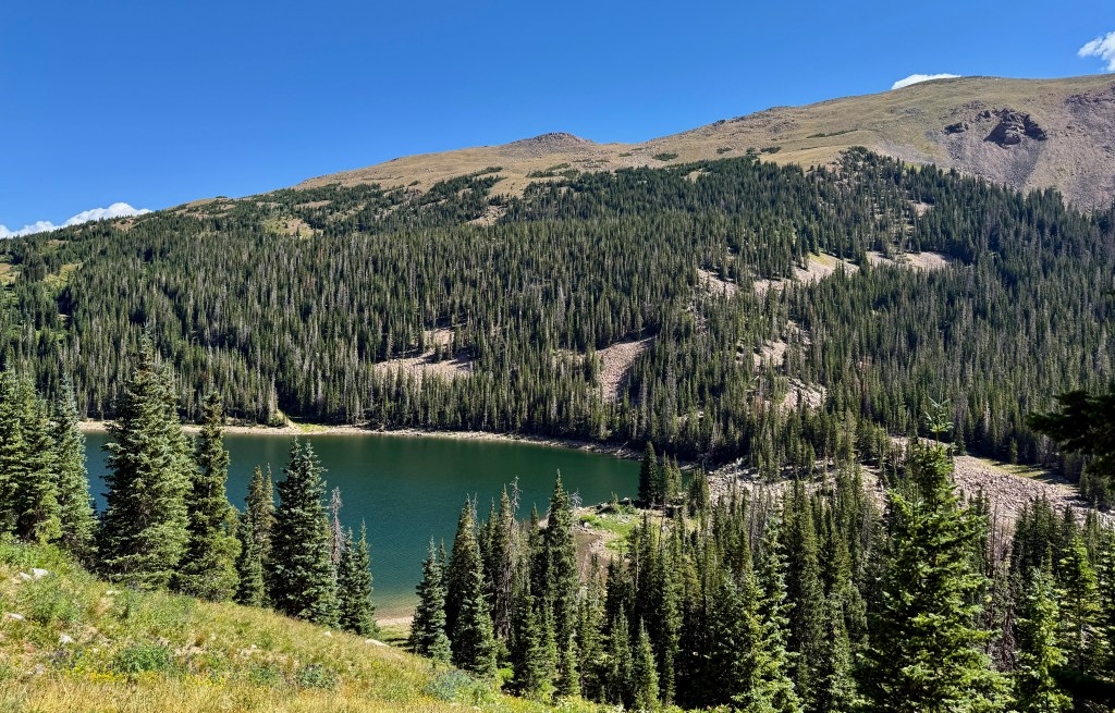
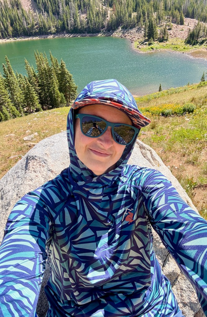
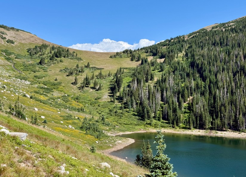
At just about five miles the trail finally flattened out and opened up to views of Blue Lake. Reenergized, I continued on through the wildflowers until I crossed the small outlet stream of Hang Lake (which sits on a shelf above the trail) and found a great boulder to rest on. I filtered some water to refill my bottles, and made a tuna sandwich for good measure!


After my small lunch break, it was time to head back down the trail. Sometimes out and back trails can be a bore, but I enjoyed getting to see all the sights in the opposite direction. And while I had solitude on my hike in (only being passed by a single trail runner), I would pass a steady stream of people on my way out.


I arrived back at the car just under four and a half hours, which I was pleased about! I was surprised at all full it had become while I was hiking (but still a fraction of typical trailhead crowds along the Front Range). My new shoe trial appeared to be a success to boot!

Upon arriving home I took to researching what else the Rawah Wilderness had in store for me, and found some great backpacking routes that I was completely unaware of! Oh man, I cannot wait to get back next summer and explore more!


Details:
All Trails Link
Poudre Wilderness Volunteers Trail Guide (HIGHLY recommend reading these comprehensive guides!)
Date Hiked: August 3, 2025
Trailhead: Blue Lake
Total Mileage: 10.37 miles (Garmin Enduro 3)
Total Elevation Gain: 1808 feet (Garmin Enduro 3)
Total Time Spent: 4 hours 19 minutes
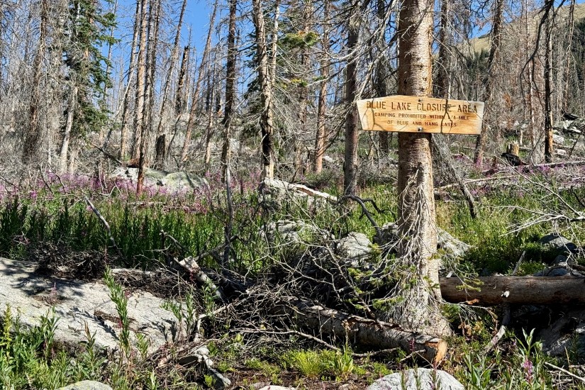
Special Considerations: This hike is in the Rawah Wilderness of the Routt National Forest. Wilderness regulations are in place. There is no fee to park at the trailhead. There are no restroom facilities at the trailhead, but there are facilities at the nearby Long Draw Winter Trailhead. Additional parking is also located at the Long Draw Winter Trailhead, which is roughly a quarter-mile east of the Blue Lake Trailhead. Much of the trail traverses the Cameron Peak Fire burn scar, and can be hot and exposed. Dogs must be leashed. Most importantly, there are several Blue Lakes in Colorado, one in particular much more famous… make sure you are researching and driving towards the correct one!
