

Two Girls Roving: The tale of a 16 day, 3522 mile road trip to the Pacific Northwest in celebration of my friend’s college graduation! Follow along for all the shenanigans through thousands of miles, eight National Park Service units, night after night of camping, and even some coastal backpacking!
August 25, 2024
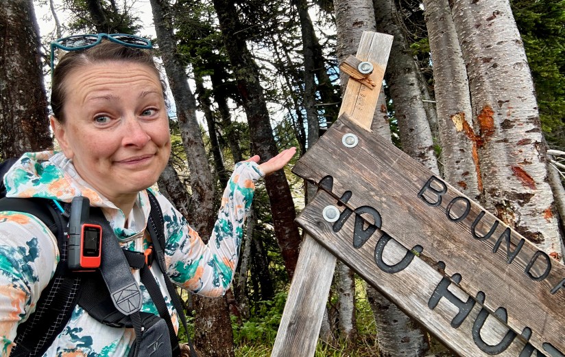
It was this day if one day ended up with four different plans. As wildfire season exploded in the North Cascades, I watched as campgrounds began to close, along with highways. Up until two days before Janice and I departed home, I had no idea what the third day of our trip would look like. As our first campground reservation for the trip was canceled, Mineral Creek Campground, this day, I focused on trying to put my foot into the boundaries of North Cascades National Park since Cascade River Road and Cascade Pass would be unavailable options. Shhh, don’t tell Janice what I was about to make her do…

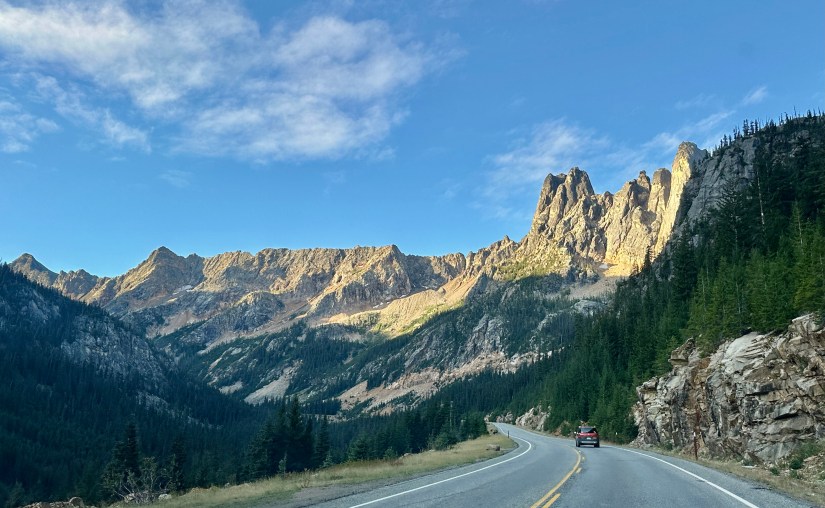
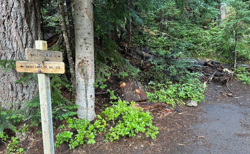
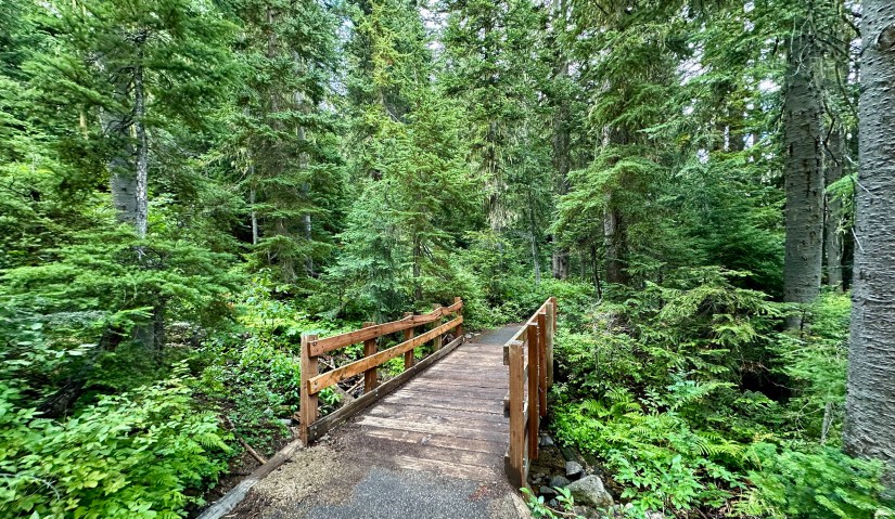
A bright and early alarm stirred us awake, with me being a bit more enthusiastic about the day’s plans. Coffee and oatmeal was made, tent packed up, and we headed out of Winthrop before anyone else was awake. We climbed up State Route 20 (North Cascades Highway), heading over Washington Pass to the sound of me screeching about the mountains. After a short drive, we arrived at the Rainy Pass Picnic Area and parking for our hike up to Maple Pass.


Located in the Okanogan-Wenatchee National Forest (and skirting briefly into North Cascades National Park), Maple Pass Loop ascends through a forest above Lake Ann before topping out in a high alpine wonderland of larches, huckleberry bushes, and 360-degree mountain views. The summer months bring the wildflowers, while during the autumn months, the larches explode with their golden yellow color. As a loop, the hike can be completed in either direction, but counterclockwise is the preferred direction for many. (A $5/day parking fee is in place at Rainy Pass Picnic Area and Trailhead. Also accepted is a Northwest Forest Pass or America the Beautiful federal lands pass.)

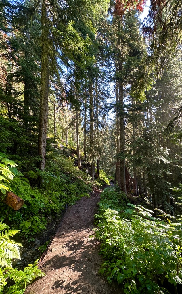
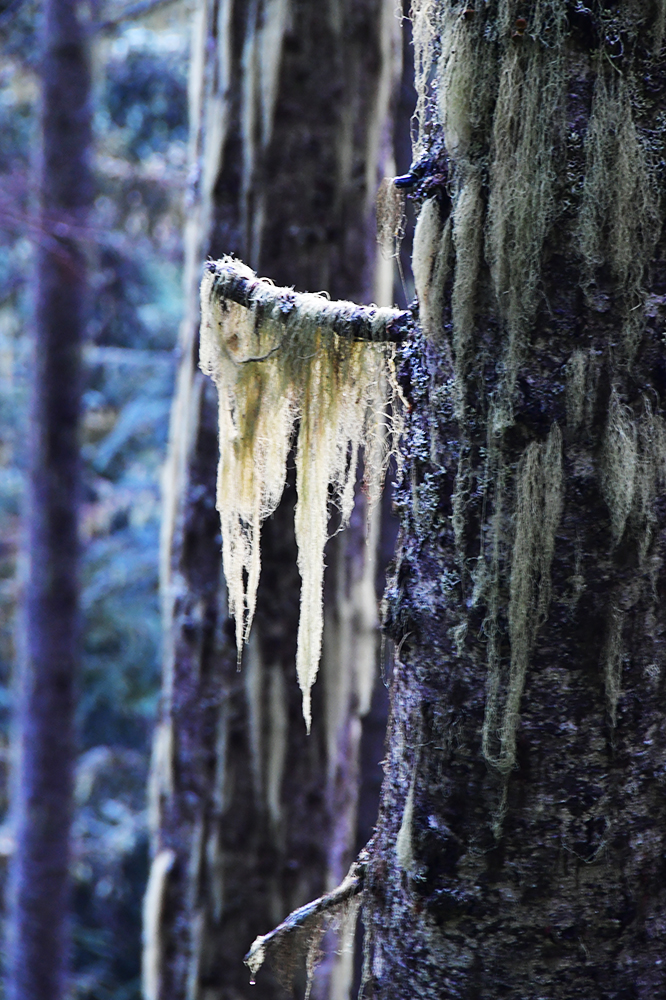
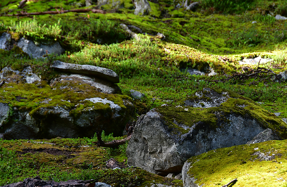
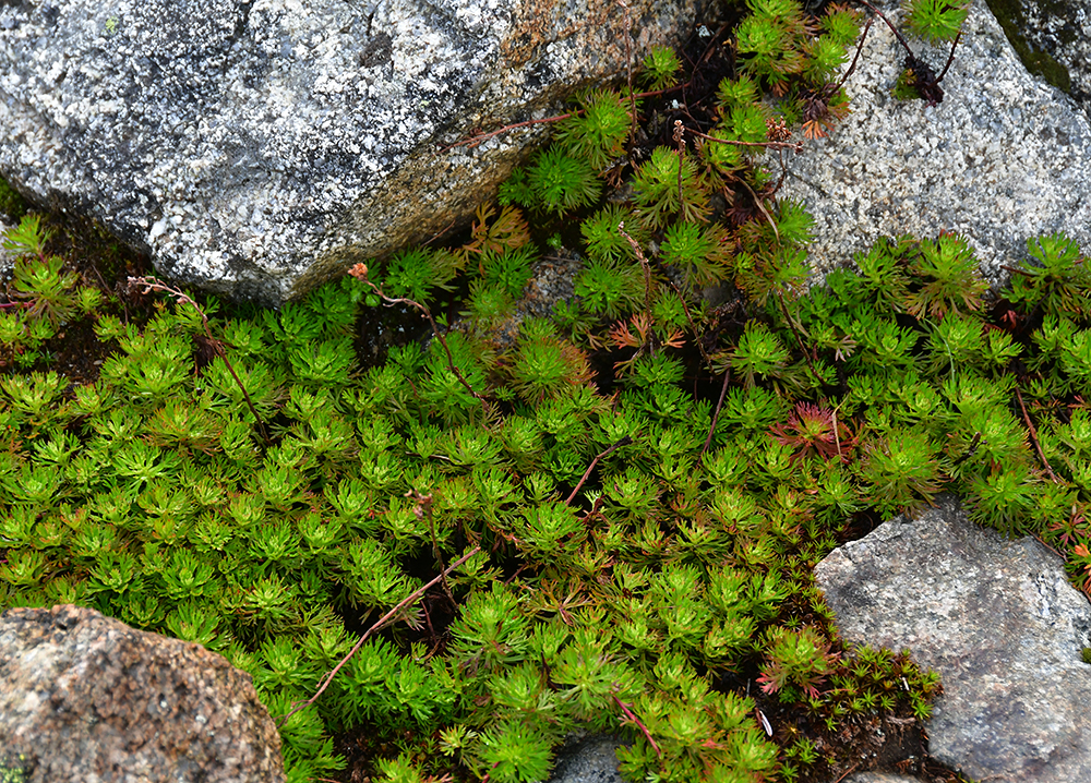
After some unnecessary confusion on my part on how to start the hike, Janice and I got started up the trail in the counterclockwise direction. I was so unbelievably excited for this hike, so the miles seemed to come easy as we strolled through the forest in the early morning hours, taking our time to photograph the moss and lichens.


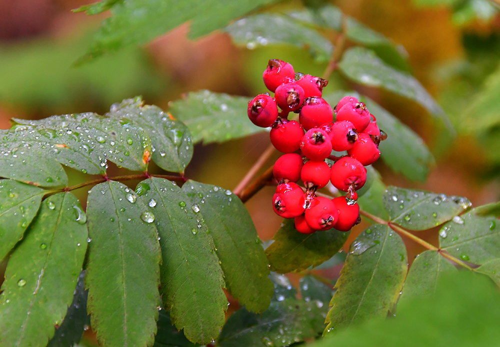

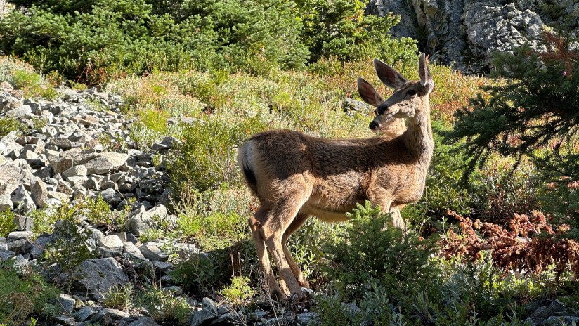
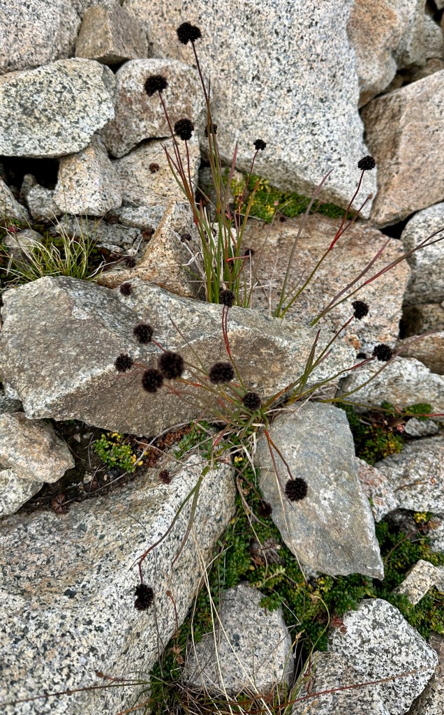
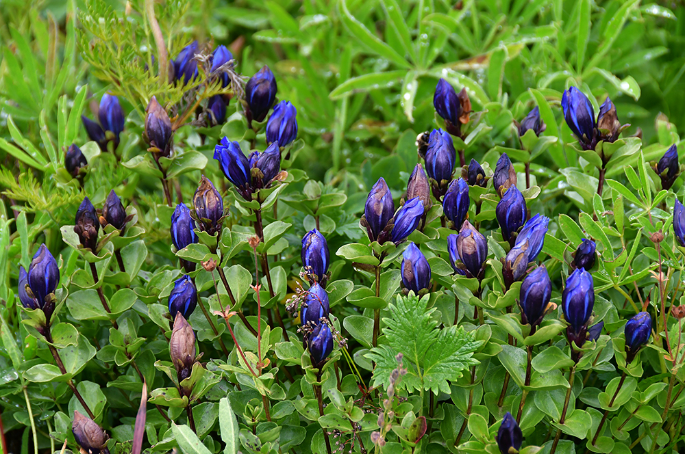
We crossed through beautiful meadows, as we gently climbed. The trail broke from the thick trees above Lake Ann and traversed the steep hillside. Though it was late August, some wildflowers were still to be found. A few deer were grazing on the side of the trail, including one that acted as our tour guide and led us up the trail a ways.


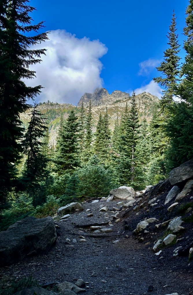

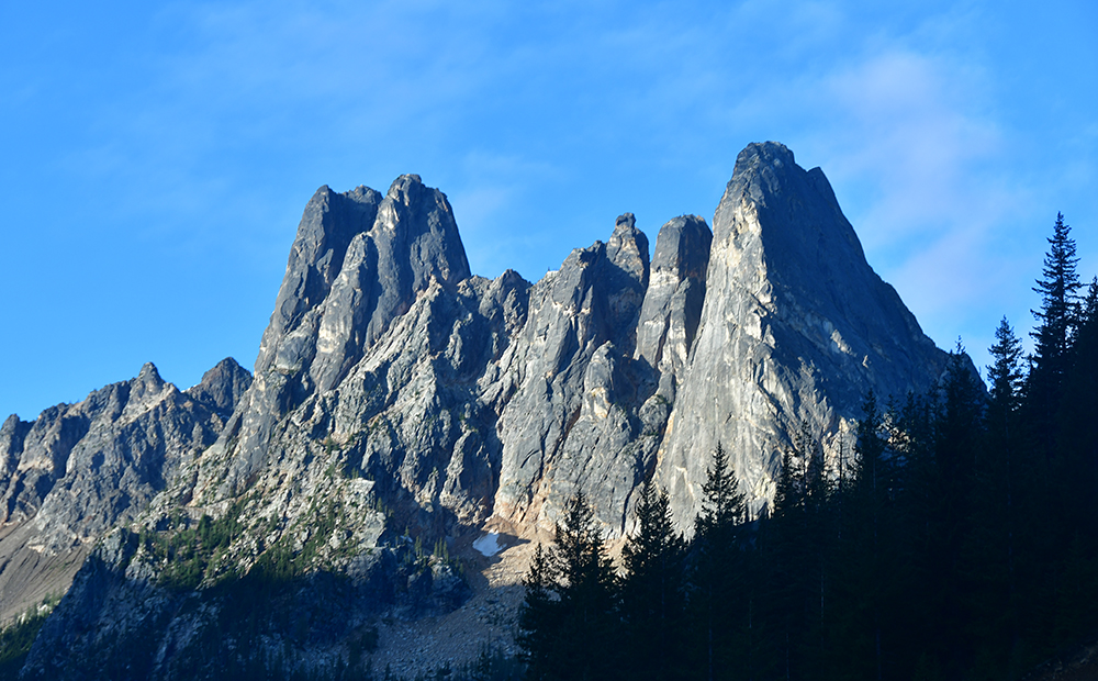
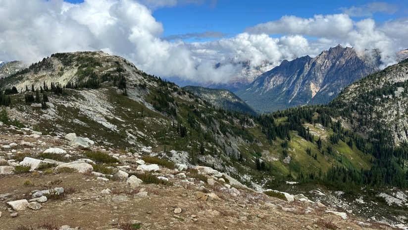
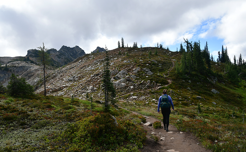
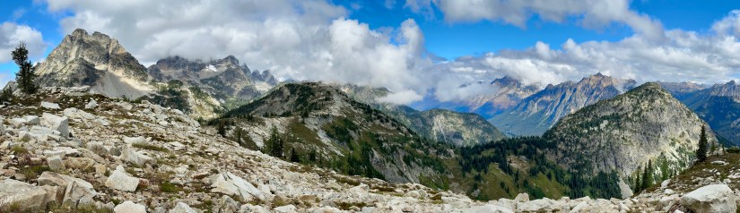
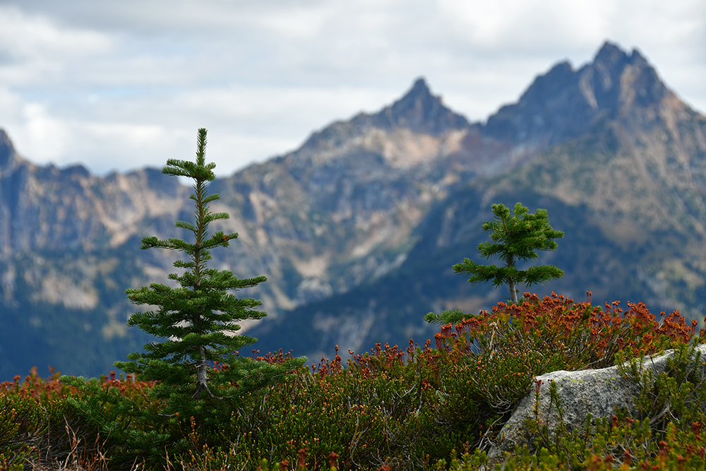
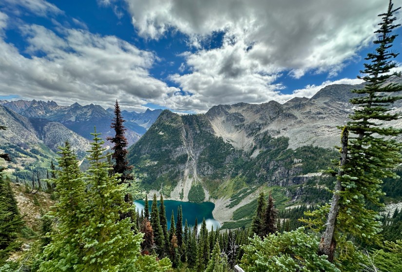
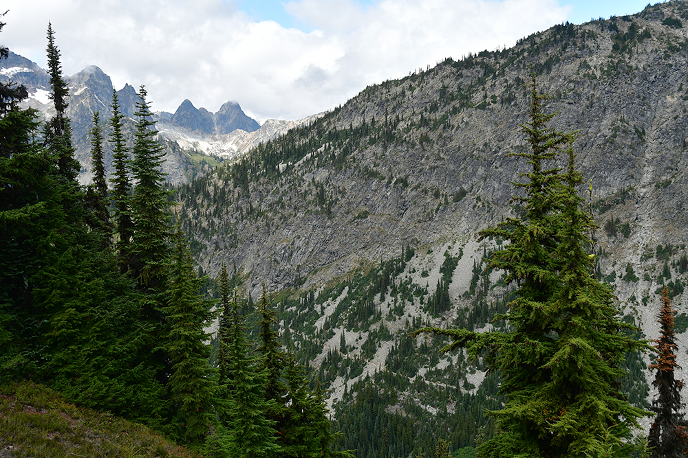
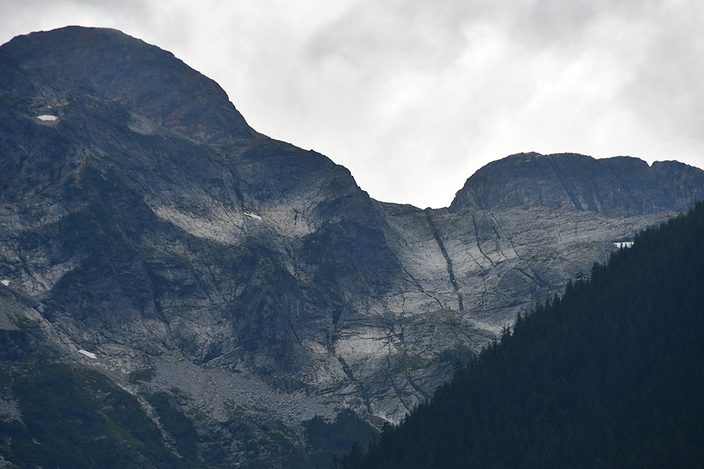
After the junction at Heather Pass, there are a few switchbacks as you continue up to Maple Pass, eventually breaking into the high alpine zone where stunted trees and shrubs mark the scenery. Frost and dew still glistened on some of the foliage, and clouds graced the summits of the mountains around us.


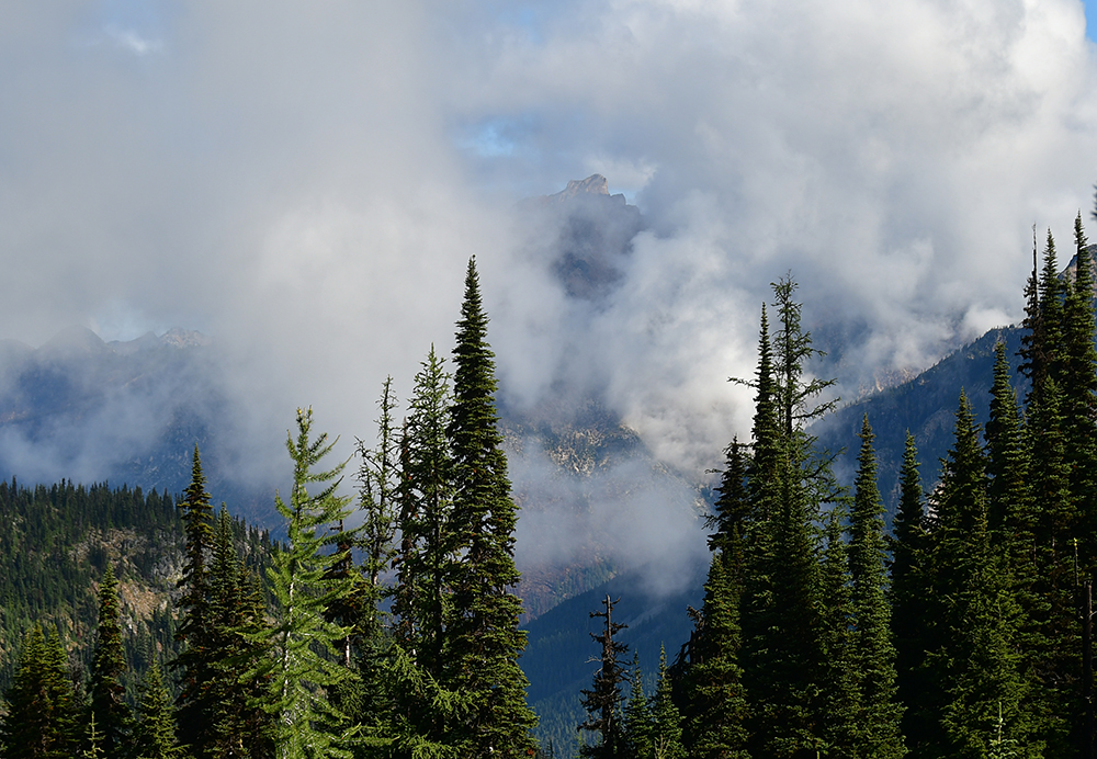
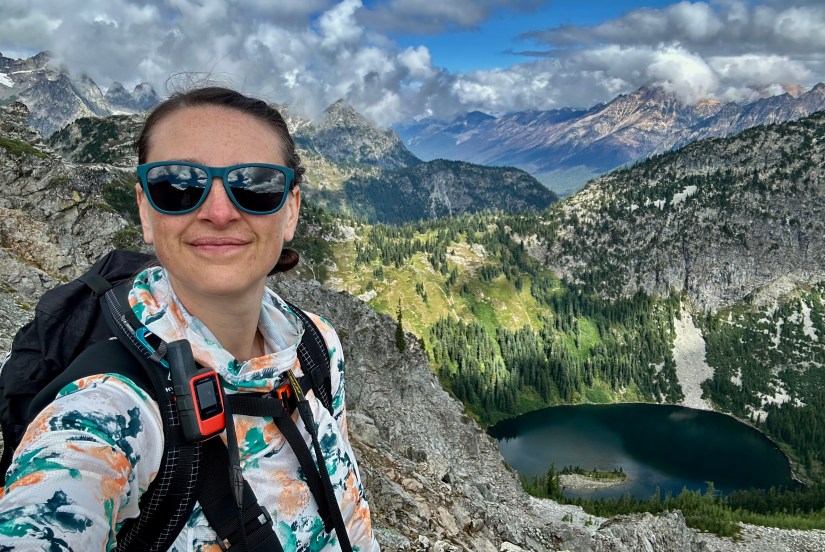
OH MY GOSH. Though we still had a bit left to ascend, the scenery was mind blowing. It was hard to stop taking photos, though Janice and I knew there was even more to come once we got to the top of the ridge.

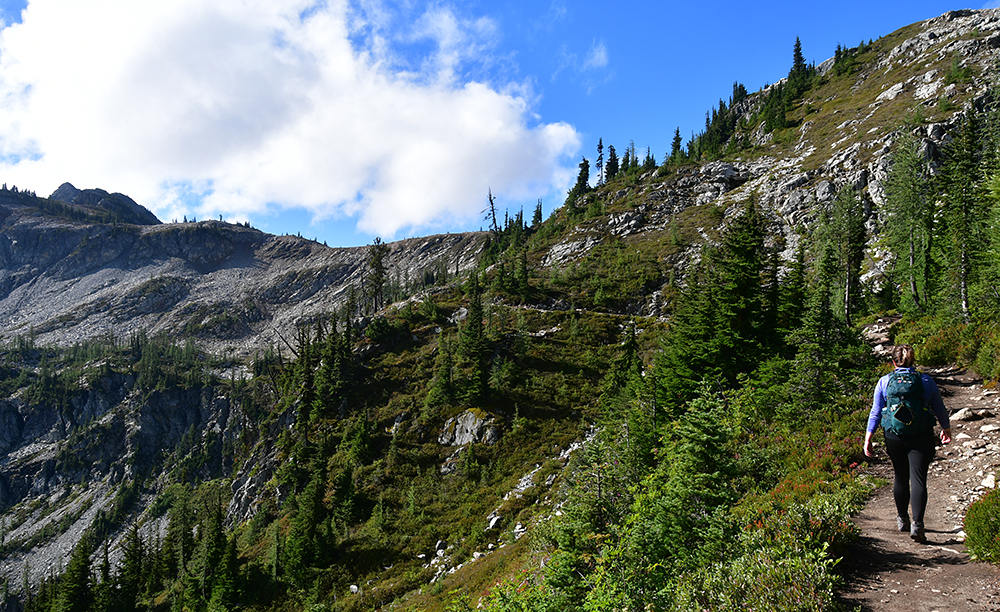


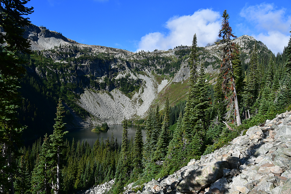
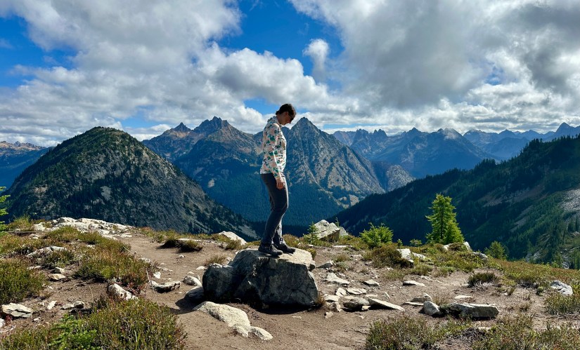
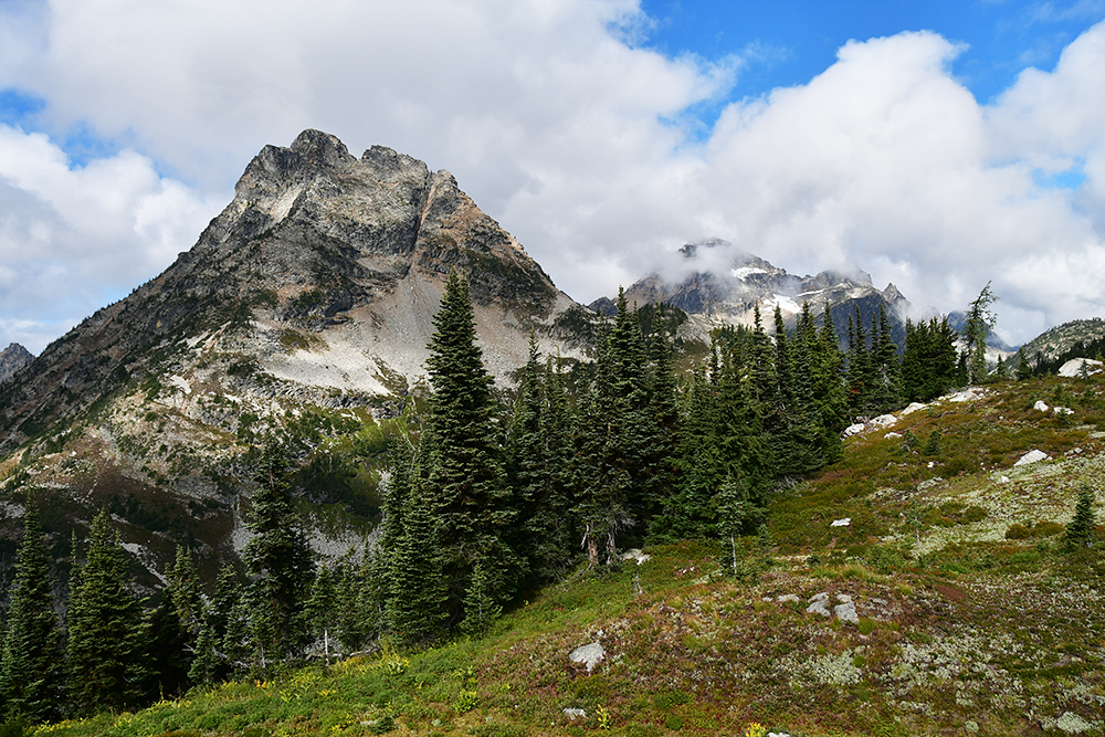
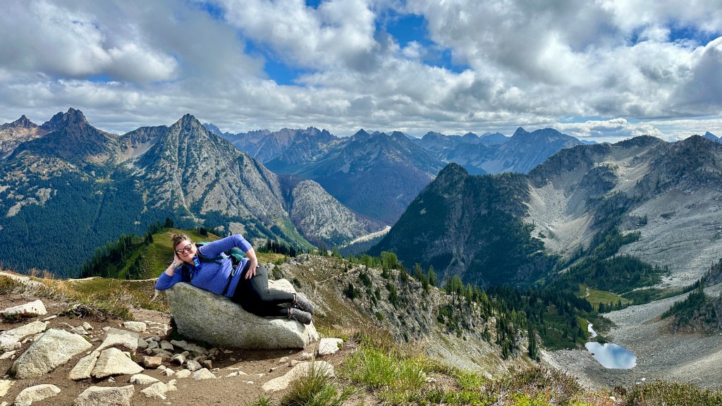
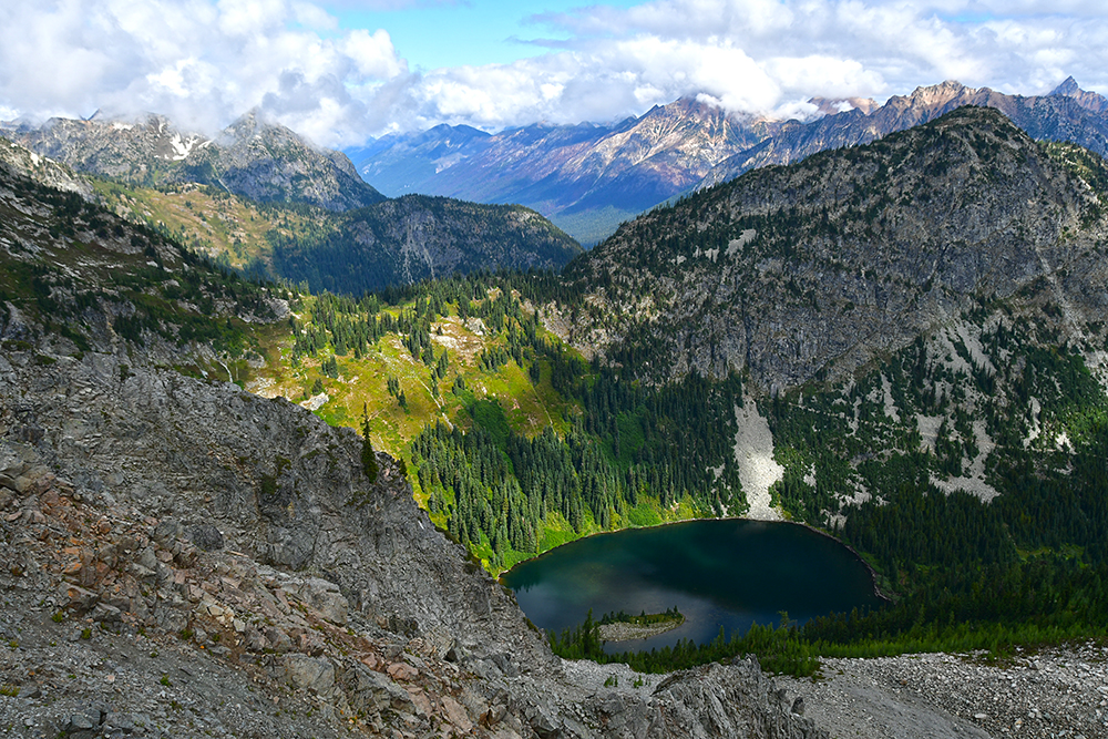
The scenery as we climbed higher up to Maple Pass took my breath away. The North Cascades stretched before us, and Glacier Peak was also in the distance. I truly did not know where to look, as the views came in from every direction. I feel like it is a rarity to do a hike where every direction is beautiful, but here I was!


If it was up to me, I would’ve stayed on Maple Pass forever!
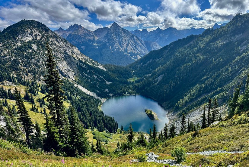
There is one stout push up to the high point of Maple Pass before the trail starts descending on the opposite side of Lake Ann from the ascent. Janice and I took the opportunity to take more photos, and I tried to soak up all the views before we descended.


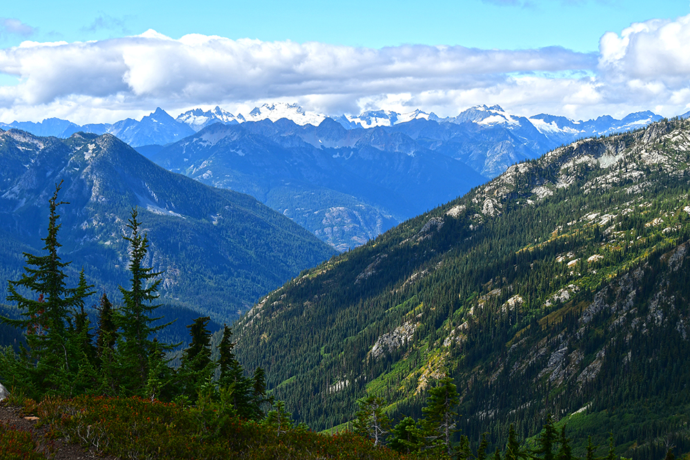

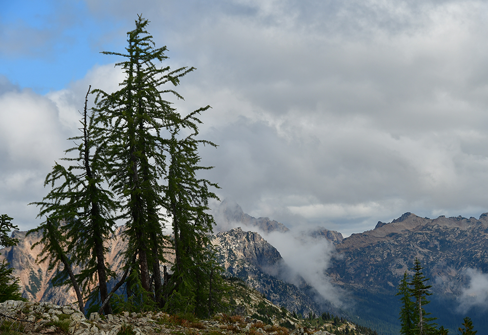

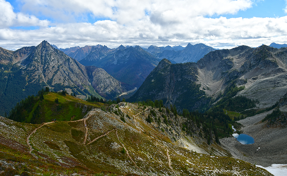

The views on the descent in the alpine zone were fantastic, with Lake Ann to our left and glacier tarns to the right. Once entering back into the trees, the hike turns very Type 2 (the type of fun that is fun only after the activity is done). This arm of the trail is very steep. I definitely regretted not bringing my trekking poles to help save my knees, but on the flip side, I was very thankful we did not ascend this side. Glimpses of Rainy Lake lessened the pain slightly, but it was mostly a slog back to the car; Janice and I were lost in our silent thoughts as we tried to ignore our knees’ cries for help.


Said and done, our hike on Maple Pass Loop was 8 miles exactly, starting from the car and including a bit of extra back and forth as we tried to make sure we were heading up the right trail. The elevation gain was 2,283 feet. We spent 5 hours and 43 minutes hiking, which was a very casual pace (great for soaking in all those views!).


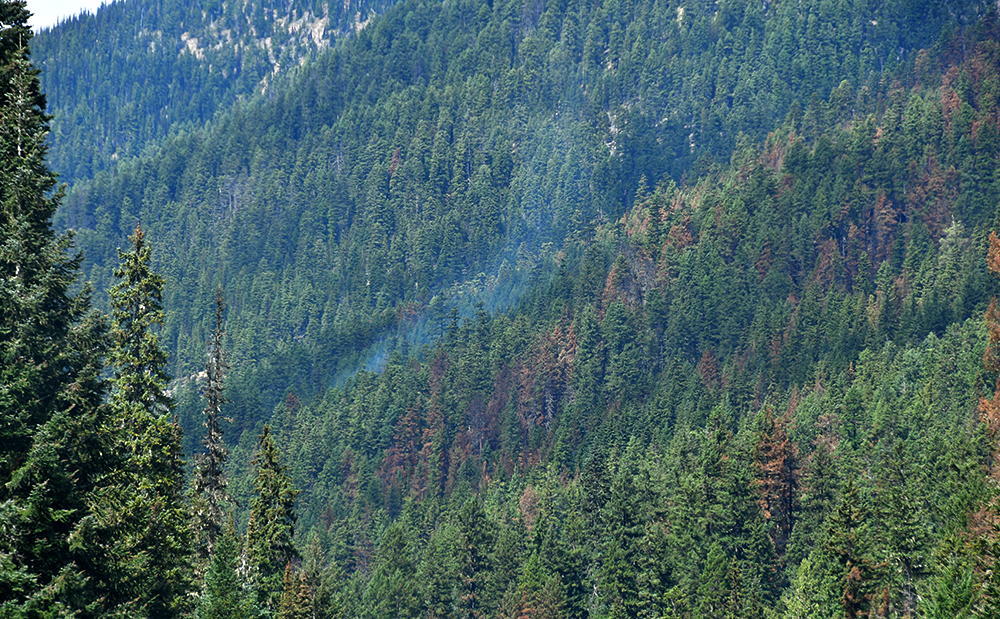
With our hike for the day done, I fixed up some sandwiches at the trailhead before we continued on. We passed the Easy Fire, which was still smoldering. It was impressive to see the work WSDOT did to remove seven tons of mud and debris from the road after a mudslide occurred in the burn scar.

We entered the boundaries of Ross Lake National Recreation Area a bit down the road. A lot of people think when they are driving SR20 they are in North Cascades National Park… but they’re not. They’re in Ross Lake National Recreation Area. One can only drive into North Cascades National Park on the gravel Cascades River Road (closed during our trip due to the Pincer Two Fire). Other visitation options all involve hiking into the park. It’s all pretty deceptive, but it’s made worse by the fact that the whole area (the National Park and Ross Lake NRA) is managed as the North Cascades National Park Service Complex. (This explains why I was so determined to step foot in the national park boundary and why I went up Maple Pass… I’d feel icky saying I had gone to North Cascades National Park otherwise.)


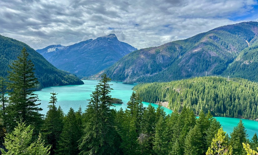
Janice and I made the stop at the Diablo Lake Overlook on our way west. Diablo Lake is a stunning teal color thanks to glacier flour (suspended rock particles that reflect sunlight). This is definitely one of the more popular stops, and definitely was a bit peopley! Also very windy!

We made sad faces as we passed the closure barriers for Colonial Creek South Campground, where we had a lakeshore campsite reserved on Diablo Lake. Unfortunately, the Ruby Fire closed the campground a few weeks before our trip, and I had to make alternate plans. Staying on Diablo Lake would have been awesome, but wildfires had different plans for our trip this year.
Our home for the night was Newhalem Creek Campground, where I secured a walk-in campsite not far from the banks of the Skagit River. But first, we headed to the North Cascades Visitor Center for passport stamping duties, exhibition gawking, and souvenir acquisition. Though the Range Rover was packed to the brim, this day kicked off my obsession with buying books on the trip, and I ate up the excellent book selection at the visitor center.

I reserved site #127, a walk-in campsite off Loop A in the campground. Moss-covered trees surrounded us; this was one of our favorite campsites! The campsite was very private and spacious and felt like a jungle dreamland to us dry-climate gals. The walk to and from the car got a bit annoying for our legs that were still protesting the descent from Maple Pass, but after hauling our tent and gear, we were able to relax. We also had a bear bin which helped alleviate some back-and-forth to the car.

Dinner was chicken fajitas paired with more local adult beverages we had picked up in Montana. The setting sun eventually drove us into the tent to relax, read, and rest our poor legs. Another fantastic day under wraps!


Travel states, facts, & things with no context from Janice and I:
- ~75 miles and 1.5 hours-ish
- 2 NPS units visited
- North Cascades National Park
- Free
- Ross Lake National Recreation Area
- Free
- North Cascades National Park
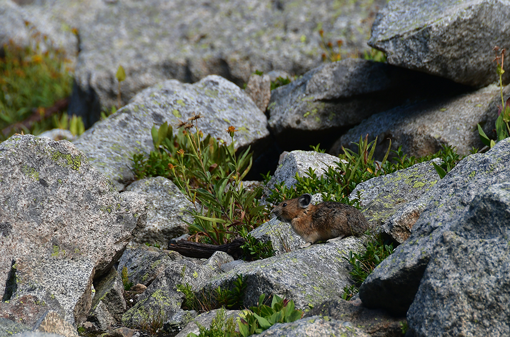
- If you seek the pika, the pika you shall not find.
- Trekking poles: use them

Accommodations for the night:
- Newhalem Creek Campground
- Newhalem, WA
- Site #127
- $24 (2024)
- The good:
- Gorgeous, spacious, and private walk-in campsite
- Bear bin at campsite
- Flush toilets and running water in restroom facilities
- Right on hiking trail that leads to the Skagit River, and also the North Cascades Visitor Center
- Solid cell reception (Verizon is what Janice and I have)
- The bad:
- Site #127 is a 194-foot walk from the parking area. It is not excessive, but after a big hike it could be tiresome (really this is not a “bad” about the campsite, I am just scrounging up a negative!)
- The outlets in the restroom did not work, so do not rely on them to charge devices.

Okay first of all, crap, I guess I haven’t actually been to North Cascades because I don’t think we left Highway 20. Oops. Oh well, I’ve been wanting to go back. Second, oh. my. god. When I do go back, I will absolutely be doing this hike!
LikeLiked by 2 people
I doubt you’re alone, I’m guessing 99% of people have no idea they’re not technically within the park’s boundaries! And the whole “NPS complex” designation muddies it. I definitely want to go back and explore more. We were suppose to hike Cascades Pass, which is also absolutely amazing (stupid fire). The mountains just seem so raw and rugged!
LikeLiked by 1 person
Oooh nice! We’re gonna put in for an Enchantments permit too (again, because the lottery system is the worst and we’ve already failed twice 😭). I’d love to spend a whole summer in the Cascades
LikeLiked by 1 person
Ugh, the Enchantments lottery… I’ve put in for the core zone for the past three years with no success. I want to research a bit more and see if I’m just better off putting in for one of the other zones and day hiking into the core. My friend has done it all as a day thru hike, but that didn’t sound fun at all.
LikeLiked by 1 person
ISO: My knee caps. Last seen, the summit of Maple Pass.
Lost: My dignity. Last seen on the decline of Maple Pass. If found, please return to owner.
LikeLiked by 1 person