

Two Girls Roving: The tale of a 16 day, 3522 mile road trip to the Pacific Northwest in celebration of my friend’s college graduation! Follow along for all the shenanigans through thousands of miles, eight National Park Service units, night after night of camping, and even some coastal backpacking!
September 5, 2024
After two weeks on the road, the last final day before heading home was here. Our friend we were staying with in Bend had to work, so Janice and I set out to explore Newberry National Volcanic Monument located just to the south of Bend. Hi, it’s me, I’m the problem – I cannot just leave volcanoes alone! I had driven through this area in February 2022, and knew I just had to come back for a visit to see what it was all about.
Established in November 1990, Newberry National Volcanic Monument protects 57,384 acres of the Newberry Volcano. When people think of the Cascades volcanoes, or really any volcano, the image of a tall, pointy mountain comes to mind (scroll back to my previous day’s blog with Mount Hood and Mount Adams for an example). Newberry Volcano, however, does not look like this at all but yet is one massively big volcano – think the size of the entire state of Rhode Island at 1200 square miles! With a caldera that is seventeen miles across, Newberry Volcano is an active shield volcano, with the magma chamber only 2 to 5 kilometers deep. It last erupted 1300 years ago.
This national monument offers the most diversity of volcanic features of any national park or monument, and one could spend days exploring them all. Time was not on our side, so Janice and I focused on visiting the Lava Lands Visitor Center, Trail of Molten Land, Lava Butte, and Lava River Cave on this trip. Paulina Peak would have to wait for another trip. Arriving at the visitor center, we showed the ranger my America the Beautiful pass, and headed in to explore the fantastic exhibits in the visitor center before buying souvenirs at the gift shop.


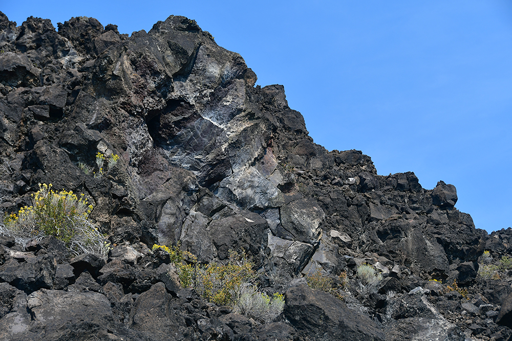
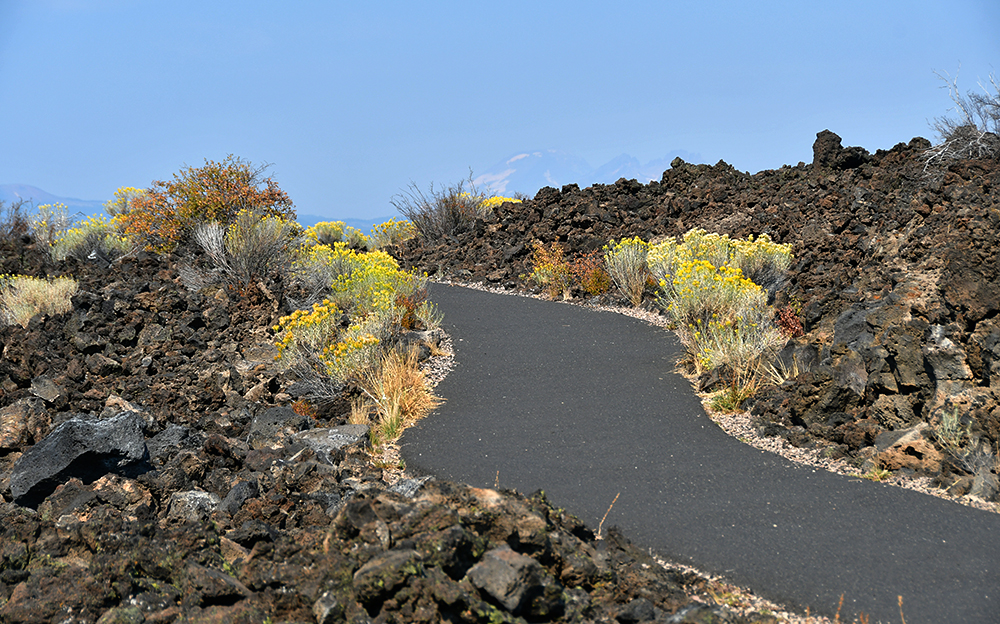
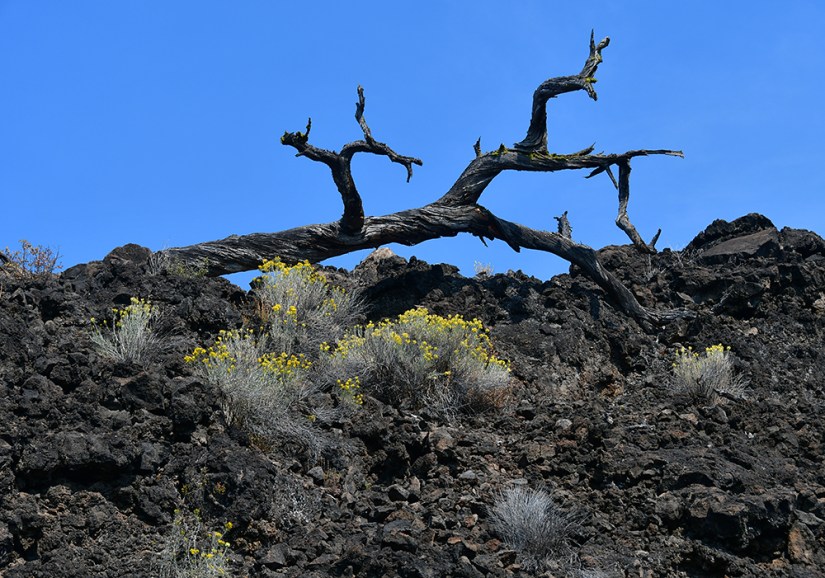
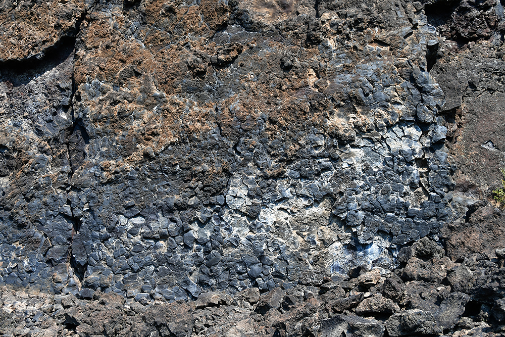
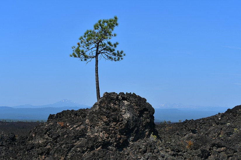
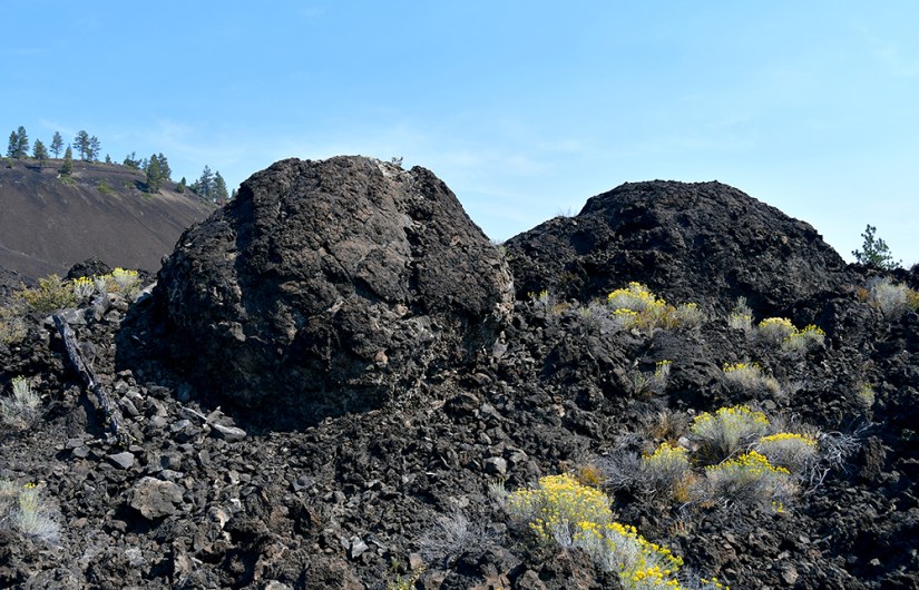
The Trail of Molten Land leaves from the visitor center, so we set out on this 1.2-mile loop. The ranger told us it was one of the handful of places in the United States where one could walk through a lava field. Needless to say, I was quite excited to saunter through this field of basaltic lava that erupted from Lava Butte roughly 7000 years ago!


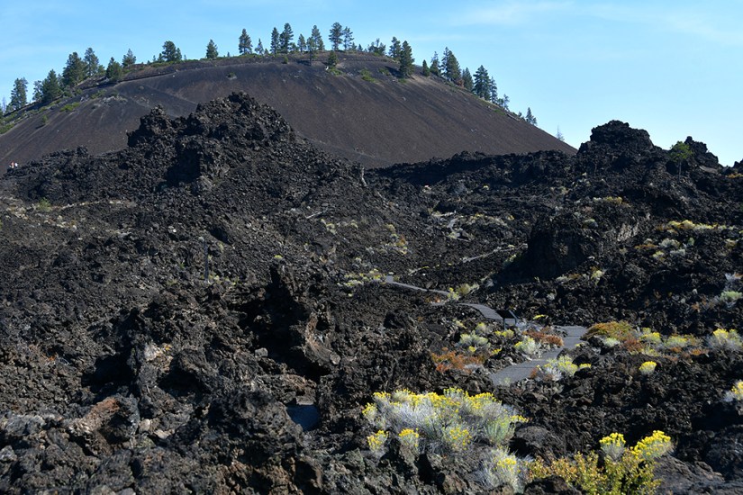


After our lava saunter, it was time to drive to the top of Lava Butte, which has a narrow road winding to the top. In peak season, there is a shuttle to take visitors to the top as parking is incredibly limited. Since Janice and I were visiting after Labor Day, we were able to head up top in our own car. (You can also hike to the top if so inclined.)

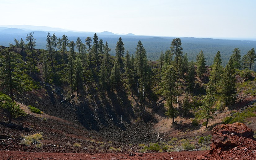
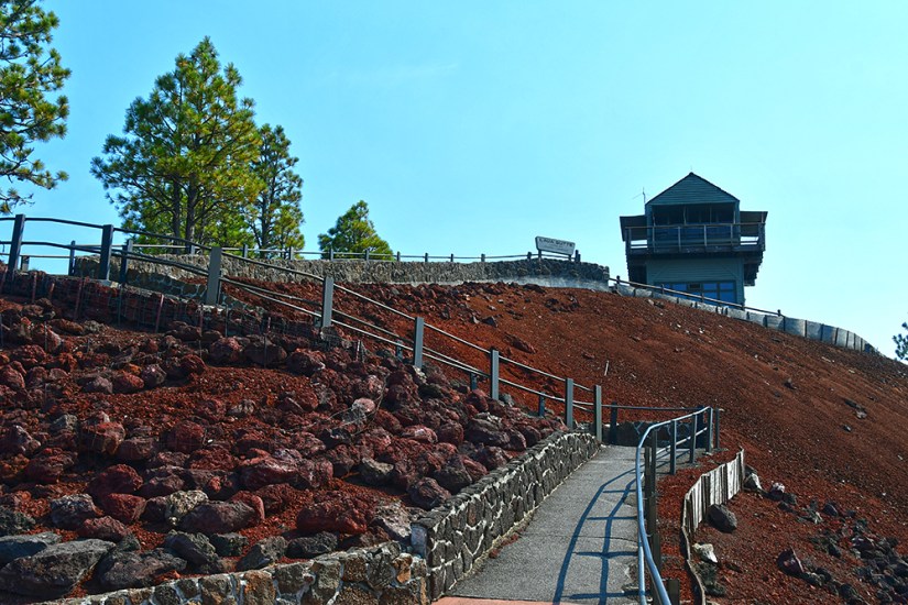
Even better, there is an active fire lookout on top of Lava Butte! Originally built in 1931, this fire lookout is still in operation. The current building was built in 1998, and the ground level floor is open to visitors and has some exhibits. A fun fact is this fire lookout holds the record for fire sightings in Deschutes National Forest.
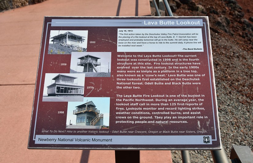
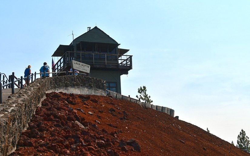
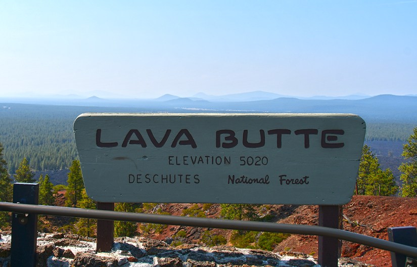
Standing at 5023 feet in elevation, we were finally back to some high altitude, joking that our re-acclimation to home was beginning. From this vantage point we could see numerous other cinder cone buttes dotting the landscape, and continued views towards Mount Bachelor, Broken Top, and the Three Sisters.


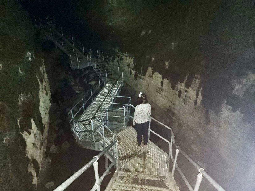
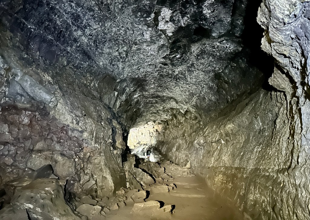
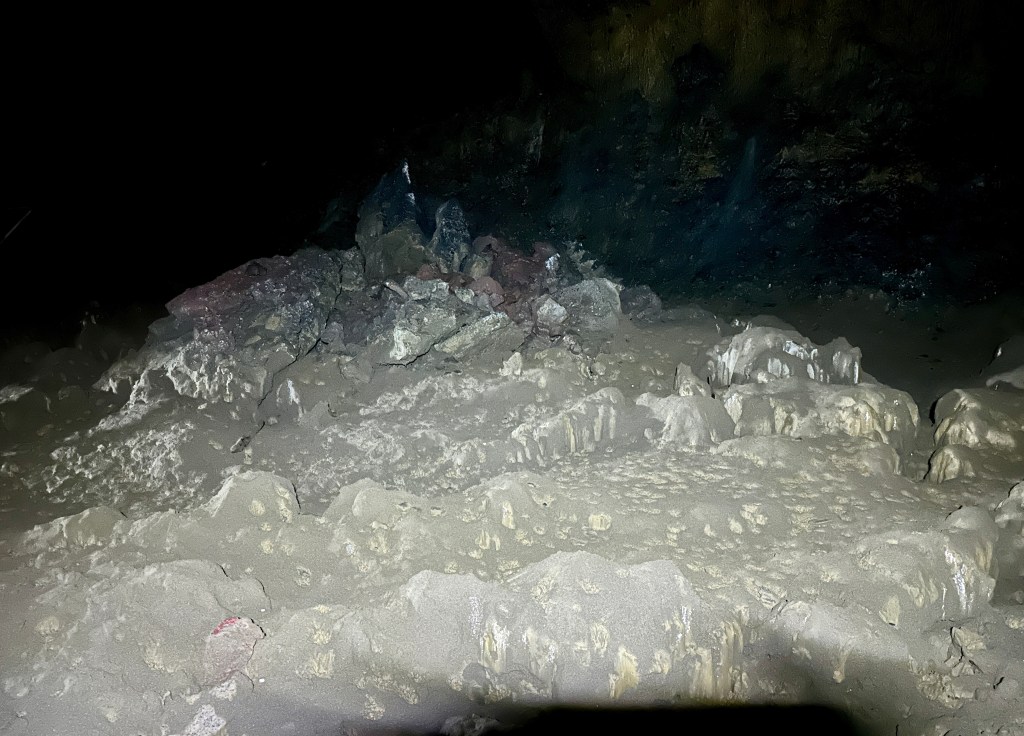
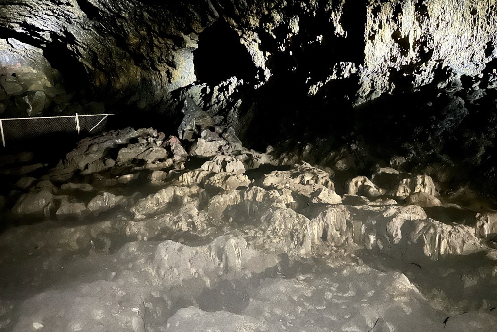
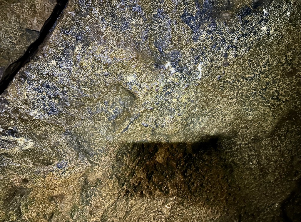
Our final adventure in Newberry National Volcanic Monument would be exploring the cool, dark underworld of the Lava River Cave, Oregon’s longest lava tube. This site requires a timed entry reservation, which I was able to nab the night before for 1pm. The reservation allows you a two-hour time window to visit. Lava River Cave is about one mile length, so is a two-mile journey if you venture all the way to the back. Light rentals are available, but Janice and I utilized our headlamps – not as bright as the annoying rental lanterns everyone shines in others’ eyes, but still worked for this purpose.
After showing our pass and timed entry at the entry gate, we parked and attended a safety briefing and talk on White Nose Syndrome (which, at the rate I keep visiting caves, I’m out of practical footwear that hasn’t already been in a cave…). Janice and I were then turned loose to explore! With temperatures in the mid-90s, both of us were eager to get down in the 42 degree air.

First, a geology lesson!
The Lava River Cave was created by lava flowing downhill from a volcanic vent. The lava flowed northwest from the vent toward the Deschutes River. The flow began as a river of lava flowing in an open channel. Eventually, a lava crust solidified over the top of the flowing lava. This formed a roof over the river, enclosing it in a lava tunnel or tube. When the eruption from the vent stopped, the lava drained out of the tube leaving a lava tube cave behind. After the cave cooled, a section of its roof collapsed. This collapsed section provided the entrance to both the uphill (southeast) and downhill (northwest) cave sections.
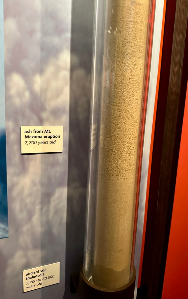
The eruption which formed the Lava River Cave occurred about 80,000 years ago. The source is believed to be near Mokst Butte southeast of the entrance. The same volcanic flow that formed the cave underlies much of the Bend area and almost reaches Redmond, Oregon. However, the specific vent that created the cave has been buried by several younger flows.
Wikipedia – https://en.wikipedia.org/wiki/Lava_River_Cave


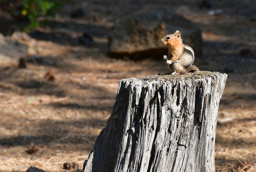
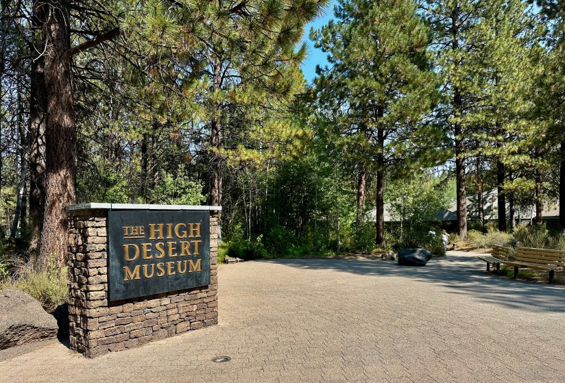
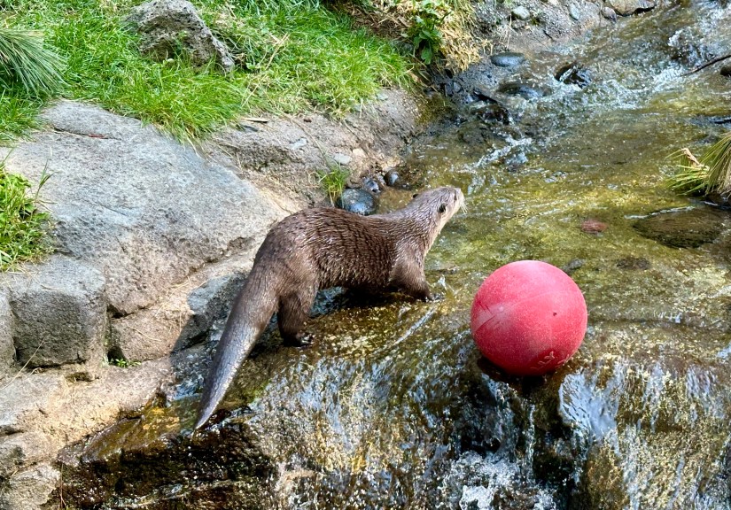
Next we met up with our friend we were staying with in Bend at the High Desert Museum. Janice had learned there was an otter exhibition here, and well, you can’t deny her the opportunity to see otters! This museum is absolutely outstanding, and covers a wide variety of topics through permanent and visiting exhibitions – local wildlife, indigenous cultures, Western and ranching culture, art.. and of course a large gift shop!

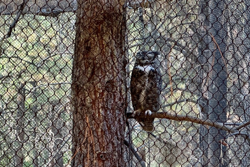
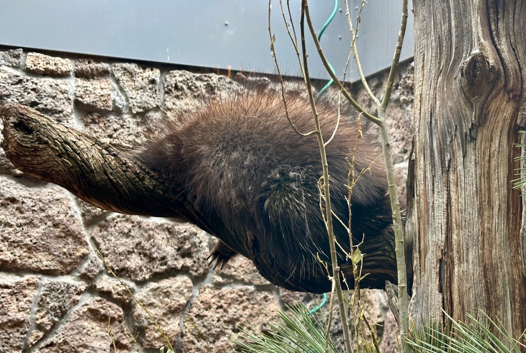
Our posse swung through the birds of prey exhibition to catch the late afternoon “Mammal Encounter.” This afternoon’s encounter was with an absolutely charming porcupine named Tumbleweed. Then we hightailed it over to the otter exhibit, which we were surprisingly able to drag Janice away from eventually.


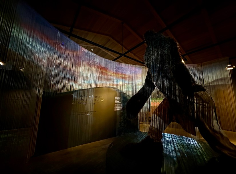
Sensing Sasquatch was up next, a visiting exhibit dedicated to Sasquatch. This was my favorite exhibit outside of the animals.
Sensing Sasquatch explores Sasquatch’s past, present and future in the High Desert region through an Indigenous lens. Works by five Indigenous artists will be on view, including: Phillip Cash Cash, Ph.D. (Nez Perce, Cayuse), HollyAnna CougarTracks DeCoteau Littlebull (Yakama, Nez Perce, Cayuse, Cree), Charlene “Tillie” Moody (Warm Springs), Frank Buffalo Hyde (Nez Perce, Onondaga) and Rocky LaRock (Salish).
High Desert Museum


After finishing out our museum visit, we enjoyed the rest of our evening with our friends, eating Mexican food and visiting a local beer garden. Tomorrow would be an early departure to begin the very long drive back to Cheyenne.
Travel states, facts, & things with no context from Janice and I:
- ~36 miles and 1 hour of driving
- 1 national monument
- Newberry Volcano National Monument
- Recreation pass required ($5/day, or Northwest Forest Pass or America the Beautiful annual pass)
- Lava River Cave requires a separate timed entry reservation
- Newberry Volcano National Monument
- Biggest bowl of guacamole in our lives
- We like big buttes and we cannot lie

