

Two Girls Roving: The tale of a 16 day, 3522 mile road trip to the Pacific Northwest in celebration of my friend’s college graduation! Follow along for all the shenanigans through thousands of miles, eight National Park Service units, night after night of camping, and even some coastal backpacking!
September 4, 2024
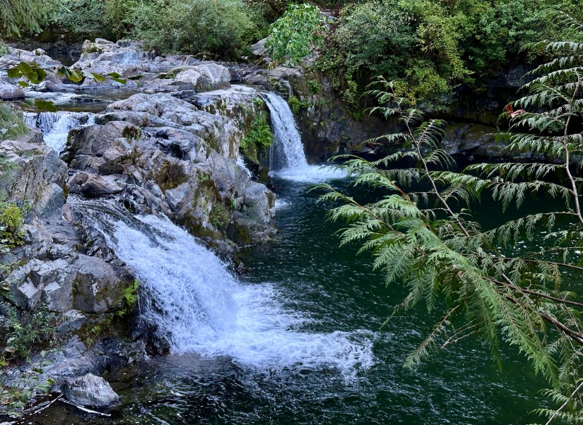
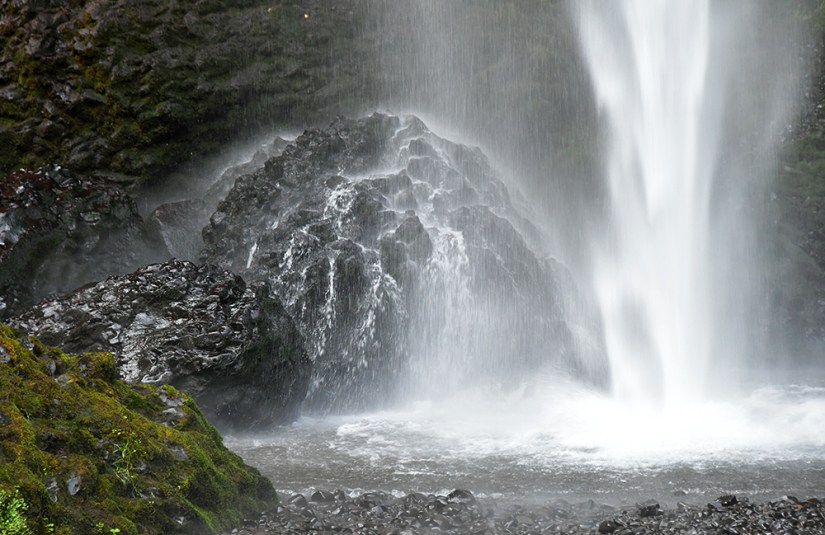
Alas, it was time to bid farewell to Washington after eleven amazing days. Thick fog surrounded us at Sunset Falls Campground just north of Vancouver as we packed up the sleeping bags, pads, and tent one final time (we’d be in real beds the next three nights!). Before leaving the area, we took the short walk to Sunset Falls, the namesake of our campground in the Gifford-Pinchot National Forest. This pretty waterfall is on the South Fork Lewis River, and was a nice way to start our morning.
Our early start was not early enough, and we spent plenty of time sitting in traffic in Vancouver and Portland, crossing into our fourth state of the trip. Our morning destination was the Columbia River Gorge – Janice’s first visit! It also had been years since I visited the Oregon side, so I was excited to visit some of my favorite waterfalls.


Usually I am super prepared on trips, but somehow I just didn’t bother to look at the historic Columbia River Highway closely, and missed that there was a road closure due to the Microwave Tower Fire. It did mean missing out on some waterfalls I wanted to show Janice. I had planned a hike on this day, but honestly at this point, we were just tired and didn’t want to spend a day getting sweaty with a long drive to Bend ahead of us. Was the adventure finally catching up to us? Probably!
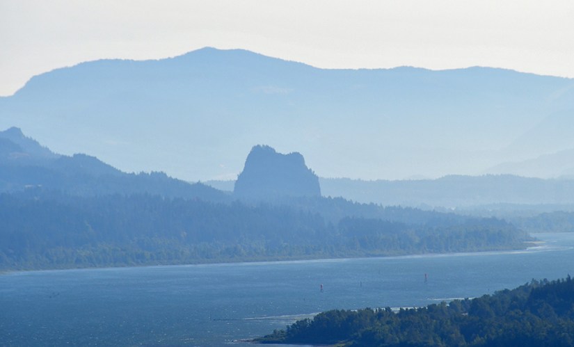
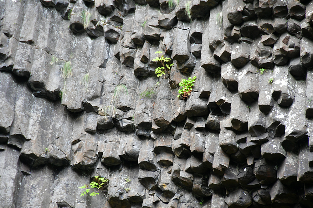
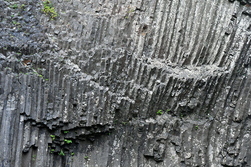
The Columbia River Gorge National Scenic Area is a 80-mile long canyon formed by the Columbia River, dividing Washington (north side) and Oregon (south side). Up to 4000 feet deep, the area has ample waterfalls flowing over pre-historic lava (which means all the basalt columns you can dream of!), and plentiful recreational opportunities. In the 80-mile length the ecology goes from temperate rainforest in the west to dry grasslands in the east near The Dalles. The Oregon side holds the majority of the waterfalls, and is arguably the more popular side due to I-84 and the Historic Columbia River Highway traversing this side of the Gorge. Washington State Route 14 runs along north side.
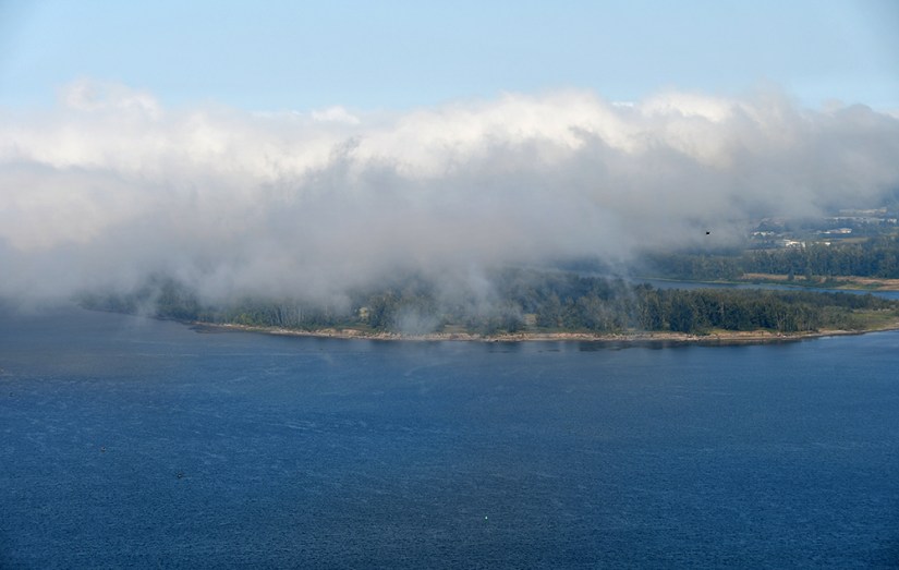
We started our Gorge at the Crown Point Vista House, perched almost 700 feet above the Columbia River. This historic wayside was closed, but we still stopped for some quick photos, marveling at the fog laying over the greater Portland area, while dreading the wildfire smoke seen the east.


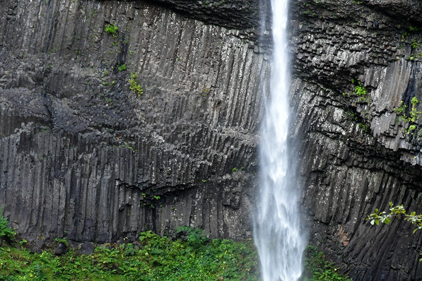
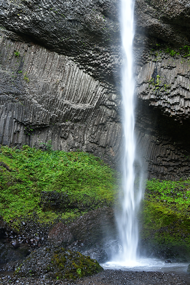
Back on the road, our next stop was one of my favorite waterfalls, Latourell Falls. This 224-foot plunge of Latourell Falls is flanked by amazing columnar basalt. An easy walk from the trailhead takes you to the base of the waterfall, or you can take a 2.1 mile loop that goes to the upper falls as well (I’ve never done the loop).


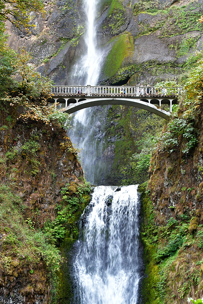
Not wanting to risk not finding parking in the small lot of Multnomah Falls, Janice and I backtracked on I-84 west, to get back on I-84 east so we could utilize the much larger parking lot. Timed entry reservations had just ended for this insanely popular sight (over two million people visit annually!), and parking was easy to find on this weekday.


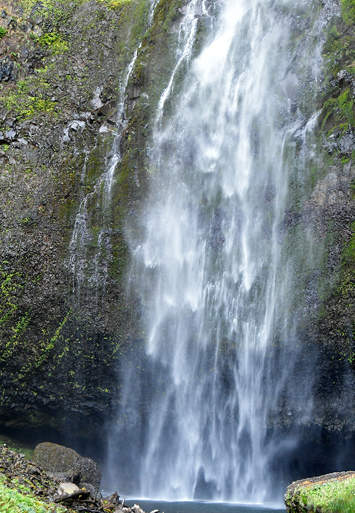
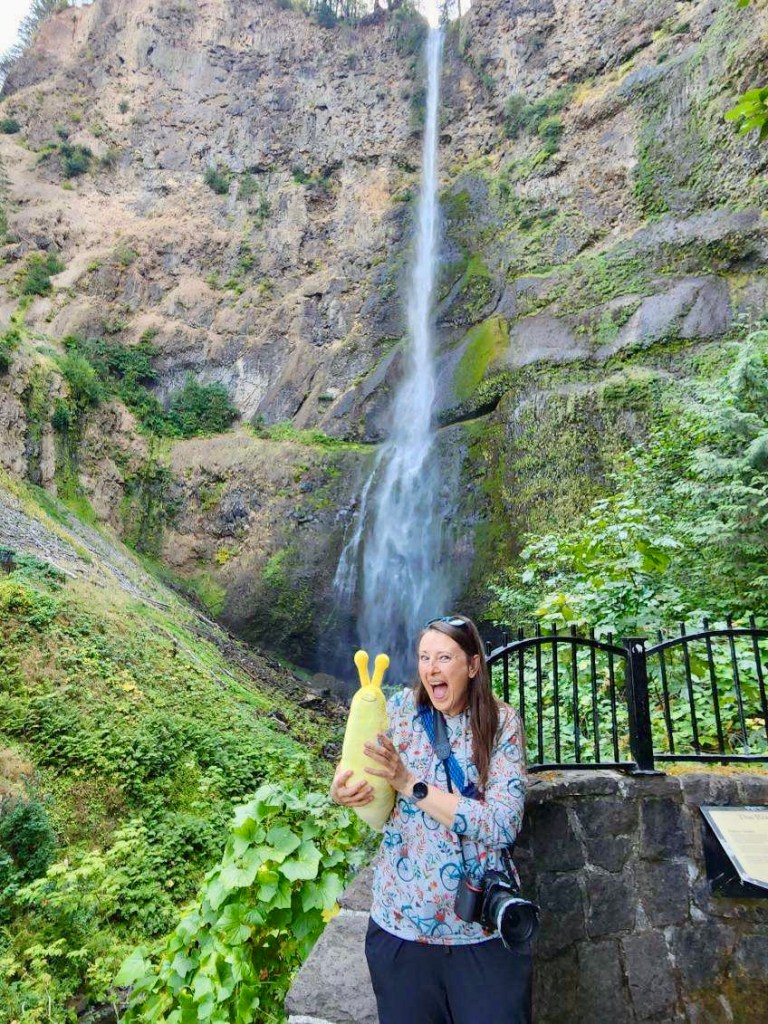
Multnomah Falls is the tallest waterfall in Oregon, falling 620 feet over the basalt of Multnomah Creek (which is fed by springs on Larch Mountain). Janice and I first headed to the impressive gift shop, where I loaded up on postcards (they have Mount Adams postcards!!!) and the best thing ever… A GIANT STUFFED BANANA SLUG!! In the check out line an older lady remarked on the slug tucked under my arm, and I told her it was for myself. She gave a big smile and said, “I wish more people were like you.”
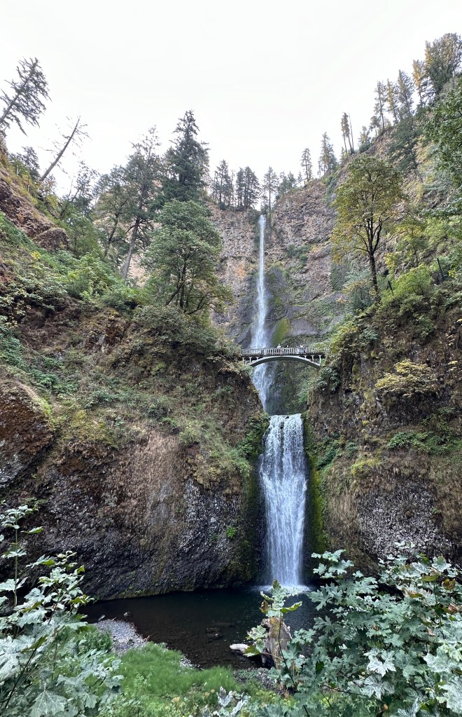
After our souvenir purchases, Janice and I walked up to the Benson Bridge for photos. It is possible to take the trail all the way to the top of the falls, but we were focused on lunch at this point.


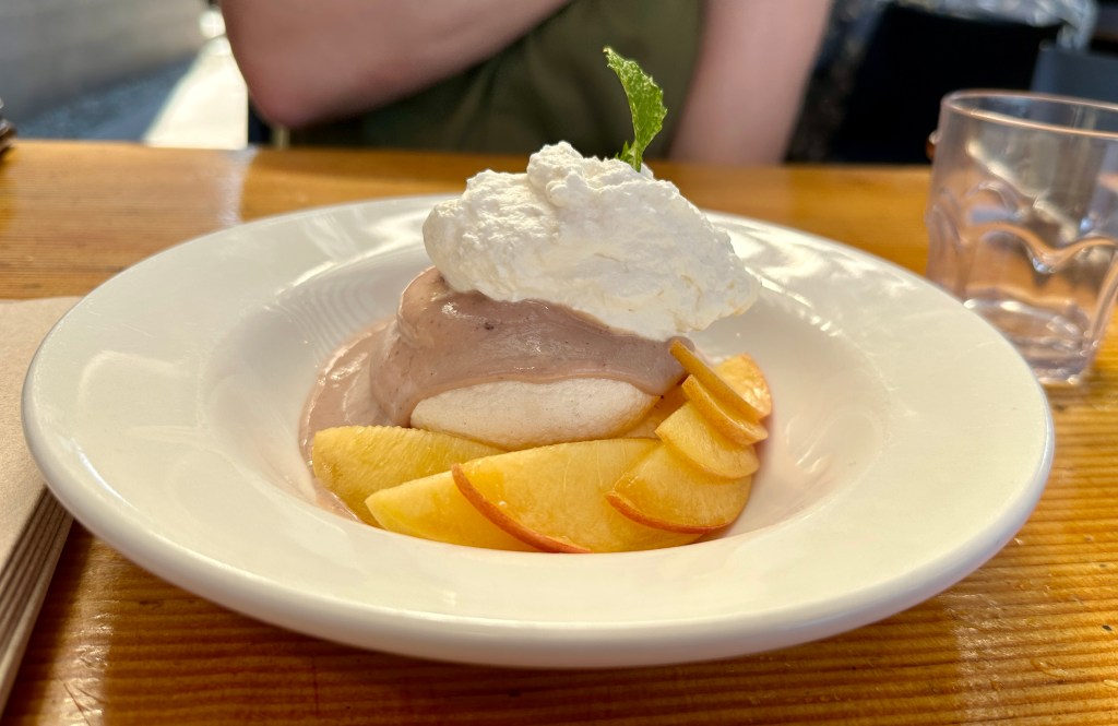
For lunch we headed to Solstice Wood Fire Pizza in Hood River, my favorite that I always eat at when in the area. Janice and I had a great spread of appetizers, pizza, and desert while I researched our next plans on the Hood River Fruit Loop.


Our friend that we would be staying with in Bend tipped us off about the Hood River Fruit Loop. Consisting of thirty farms, U-picks, orchards, and wineries, an entire day or two can be spent traveling these spots in the Hood River Valley. Janice and I didn’t have the luxury of time (plus we are not wine drinkers), so we picked out an orchard and a lavender farm to visit before continuing south.
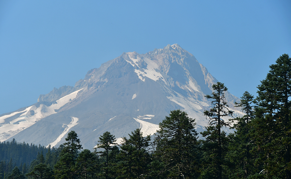
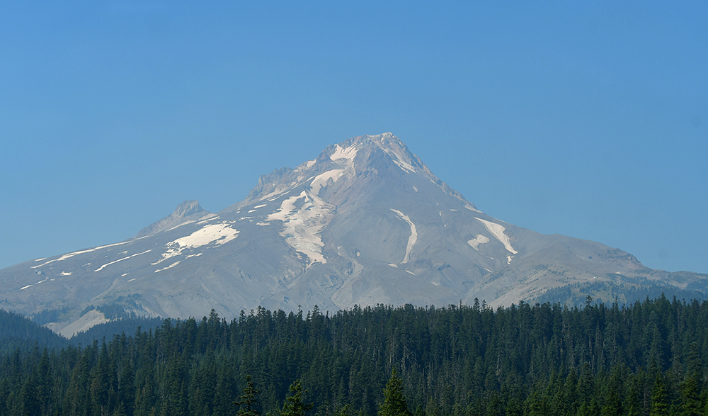
Before seeking out fruit and lavender, we took the quick drive up to Panorama Point, which gives a great view over Hood River and out to Mount Hood (Oregon’s highpoint) and Mount Adams (though pretty obscured by trees).


To get our fruit fix, we stopped at Packer Orchards. Janice headed to the fruit as I was distracted by the looming view of Mount Adams to the north. She finally dragged me away, and I picked out a variety of pears and jams to purchase. I picked out a mix of ripe and firm pears so I was able to get some home to enjoy. Forget being an “apple baron,” I now wanted to be a pear baron with a volcano view!


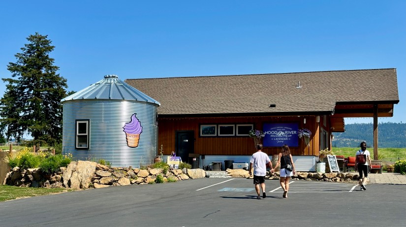
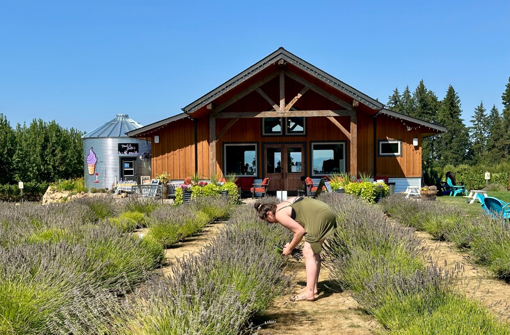
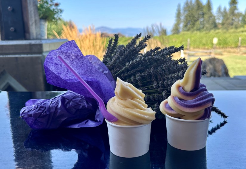
Hood River Lavender Farm was up next, as Janice was hankering to pick some fresh lavender. The small shop has a variety of health and beauty items, teas, and other lavender products. We both loaded up our shopping baskets, and then Janice went on her lavender picking mission. The sun and heat were a bit too much for me, so I headed to the shady porch and went back to admiring Mount Adams (I have a sickness). We topped off our visit with lavender soft serve.


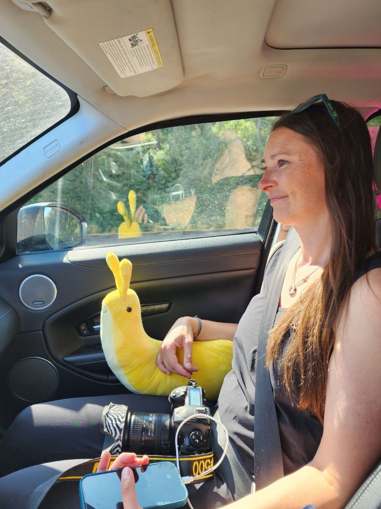
We turned the car south, smelling of fresh lavender, for a couple-hour drive to Bend, where we would stay for two nights with a friend. We were eager for warm showers and a real mattress.

We arrived in Bend in early evening, and after some quick dinner we hauled entirely too much stuff into our friend’s house. I took to showering, relaxing, and then passed out quite early on the incredibly bed after securing a timed entry for Lava River Cave the next day. Adventured out for the day! Zzzzzzz….
Travel states, facts, & things with no context from Janice and I:
- ~260 miles and 5 hours 30 minutes of driving
- Buy the giant banana slug, despite its anatomical flaws
- Two separate helpings of ice cream is okay, and in fact, encouraged

