

Adventurer Alastair Humphreys posted about “Local 7 Summits” at the beginning of 2024, and I decided it would be a good challenge for my hiking friends, Janice and Taylor, to complete as they continue their hiking journey. With Deer Mountain and Mount Margaret under our belts, I irrationally chose Crosier Mountain outside of Estes Park for our next goal… after none of us hiked all of February. More to come on that… But the premise of the Local 7 Summits is an alternate to the “7 Summits,” which is climbing the highest point on all seven continents. Since such a challenge is out of reach for most people, the Local 7 Summits brings it down to a local level – choose seven hills/mountains/summits/bumps in your local area (defined by you), and go!
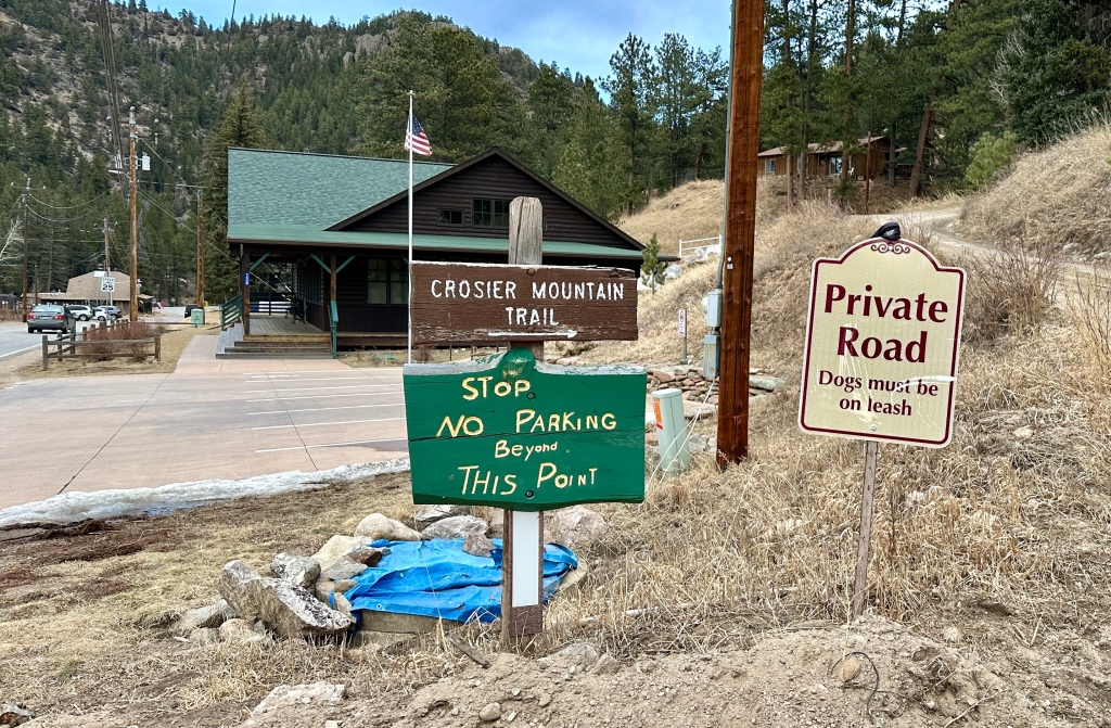
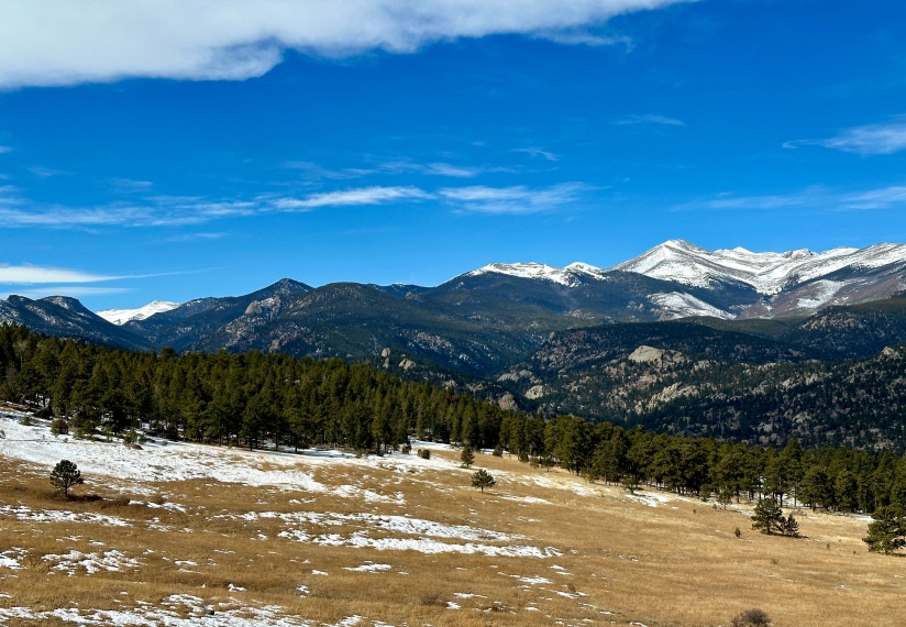
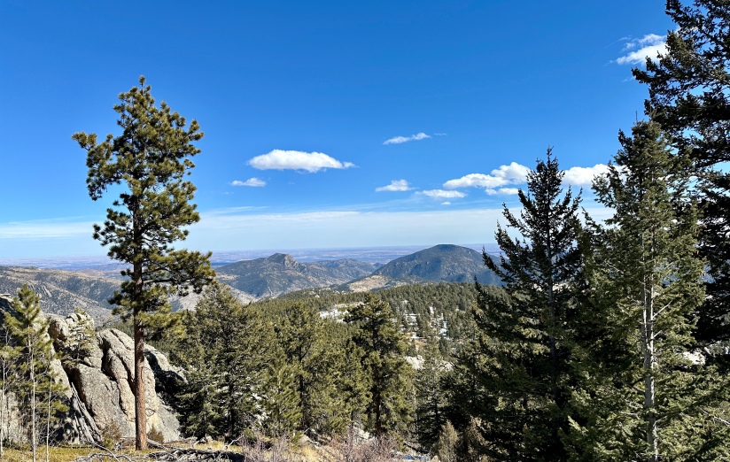
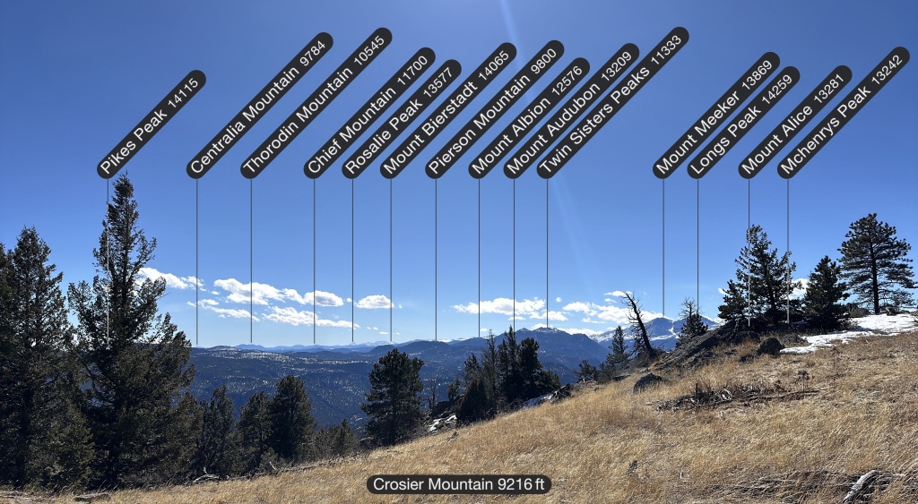
Topping out at 9,250 feet, Crosier Mountain is a forested mountain northeast of Estes Park. Though lacking the high alpine terrain that draws many to climbing mountains in Colorado, Crosier provides the chance to summit a mountain without overly special gear in the winter months and is training ground for many local mountaineers wanting elevation gain in their legs. There are three routes up Crosier Mountain: Garden Gate (the longest, and which I’ve blogged about here), Rainbow Trail (the steepest), and Glen Haven (the easiest route). All three routes leave from their own trailhead along Larimer County Road 43. Since I had done the Garden Gate and Rainbow Trail routes previously, I selected the Glen Haven approach for this trip up Crosier.
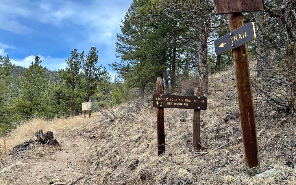
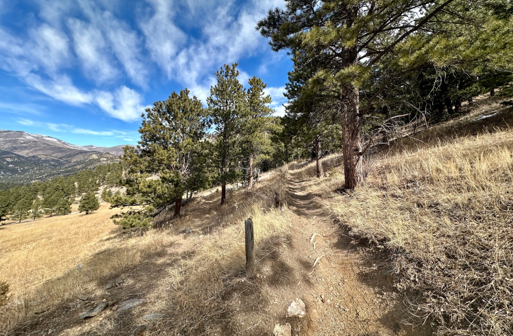
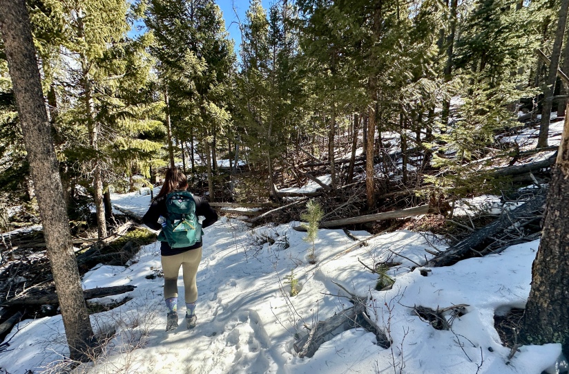
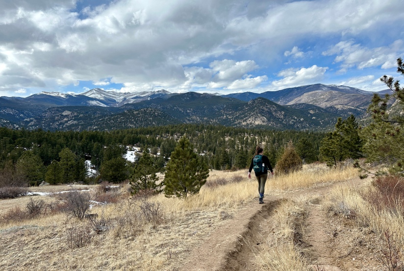
We got an unusually late start to this hike, leaving shortly after 8am from Cheyenne. We quickly found parking in the small hamlet of Glen Haven after spying a small sign pointing the way to the start of the trail. 10:01am our boots hit the ground! There is a short ascent up a dirt road, then Crosier Mountain Trail #931 branches off to the right and begins gaining elevation via long switchbacks.
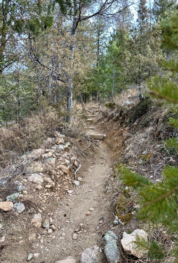
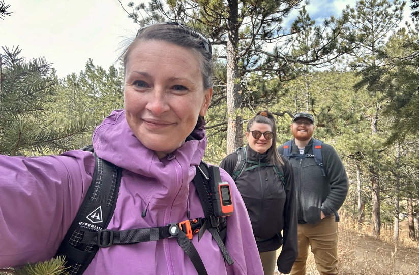
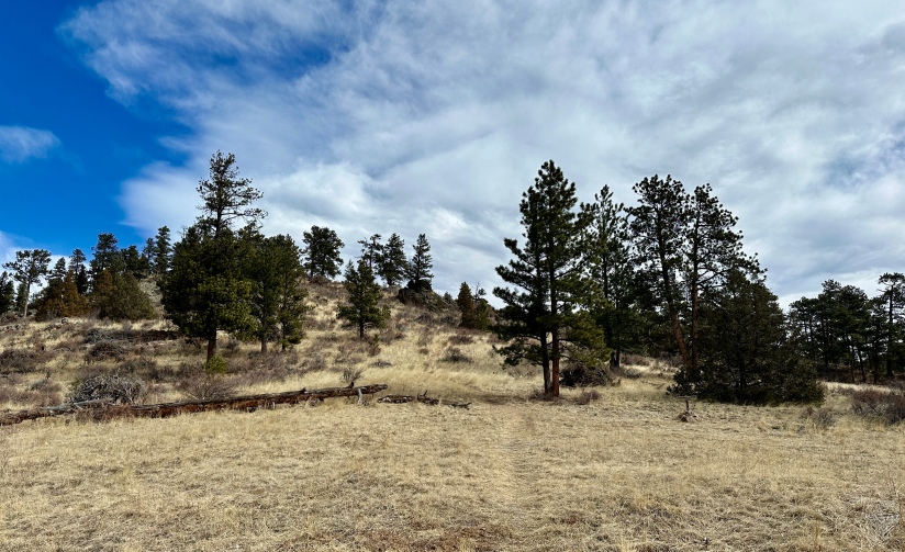
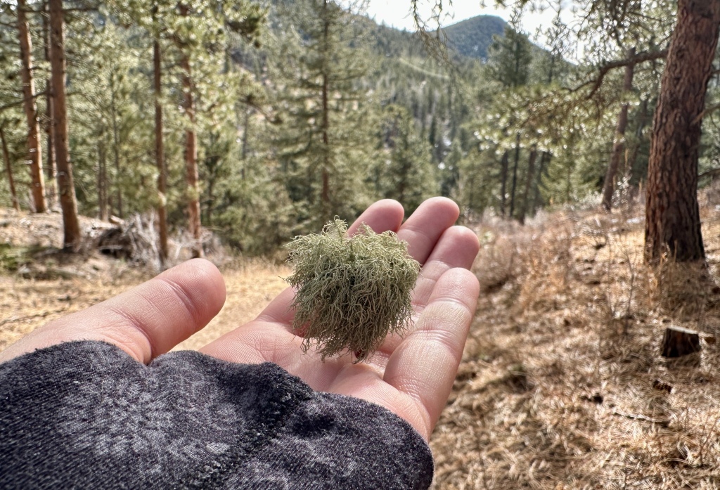

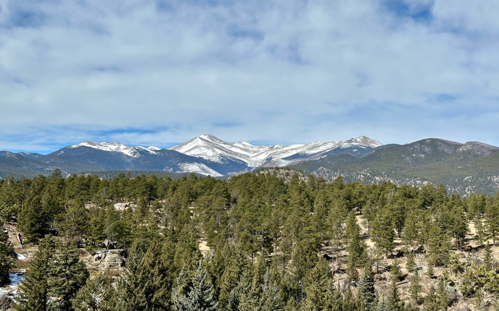
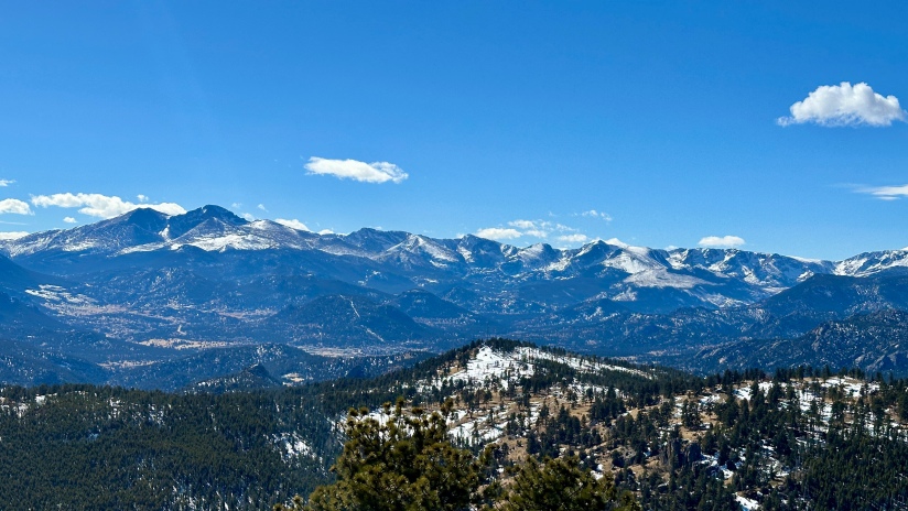
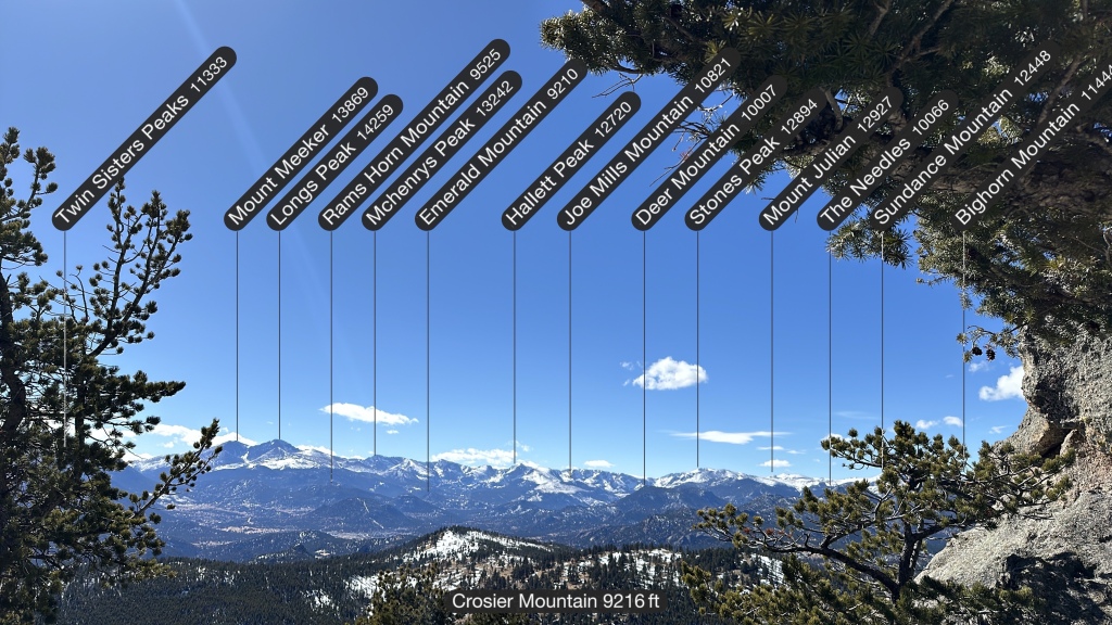
Having done all three routes, I found this approach to be the gentlest and it also afforded gorgeous views towards the northern end of Rocky Mountain National Park and the Mummy Range. Janice set a good pace, and we chatted our ways upwards. Though it was crazy windy, for the most part we were shielded from the gusts.
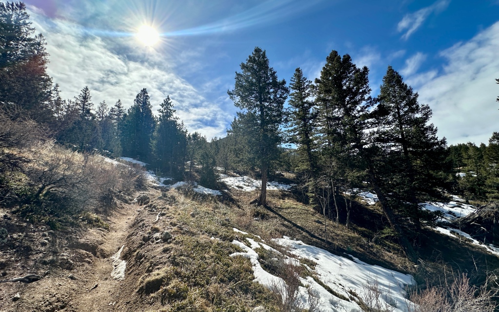
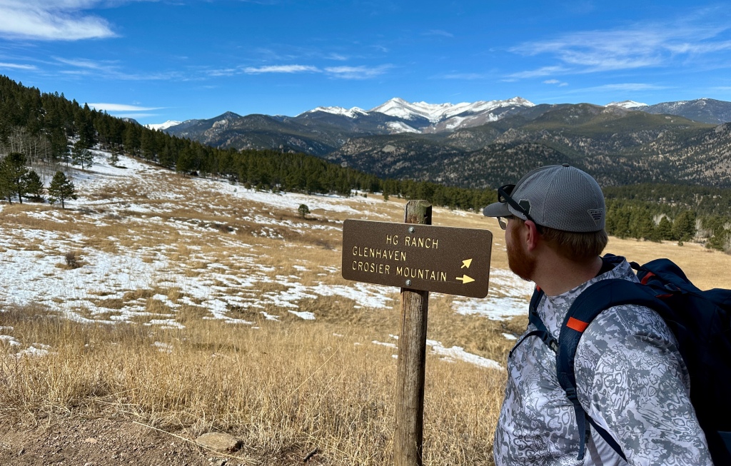
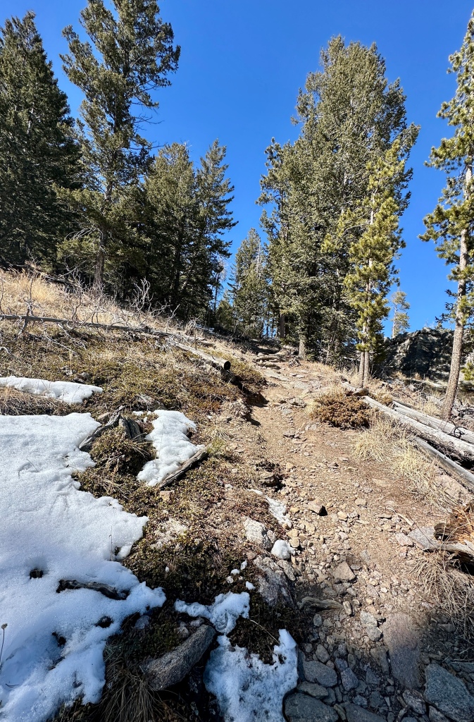
At 2.3 miles we reached the junction with the Rainbow Trail, which joins Crosier Mountain Trail from this point onwards. The elevation gains becomes a bit more noticeable and relentless. Though the trail turned to packed snow, we still opted for no microspikes for the ascent.
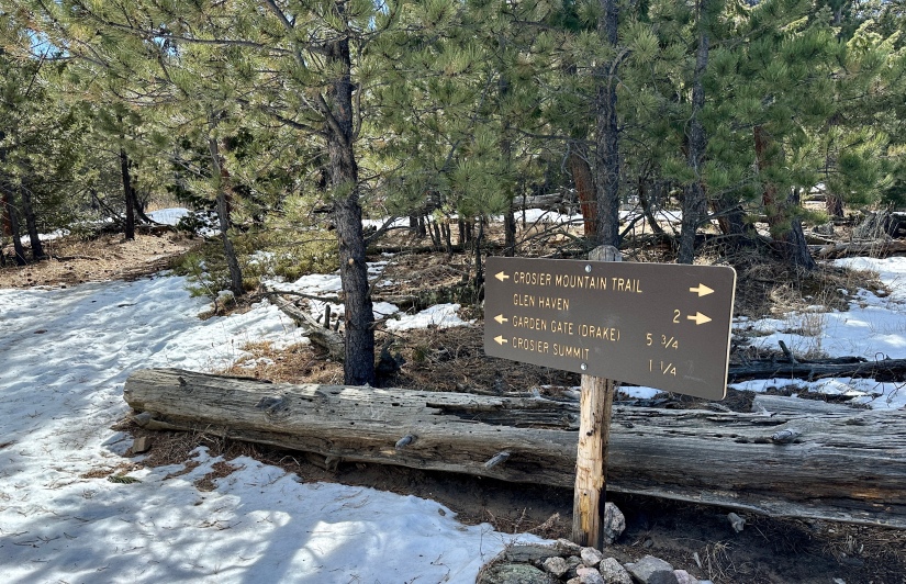
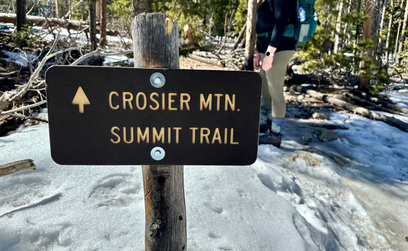
At 3.6 miles the spur to the summit is reached to the right. (If you continue straight, this is the route that takes you to the Garden Gate Trailhead.) The crux of the hike comes next, as the half-mile trail to the summit gets steep and loose, and at this point we were all feeling the elevation gain in our legs.
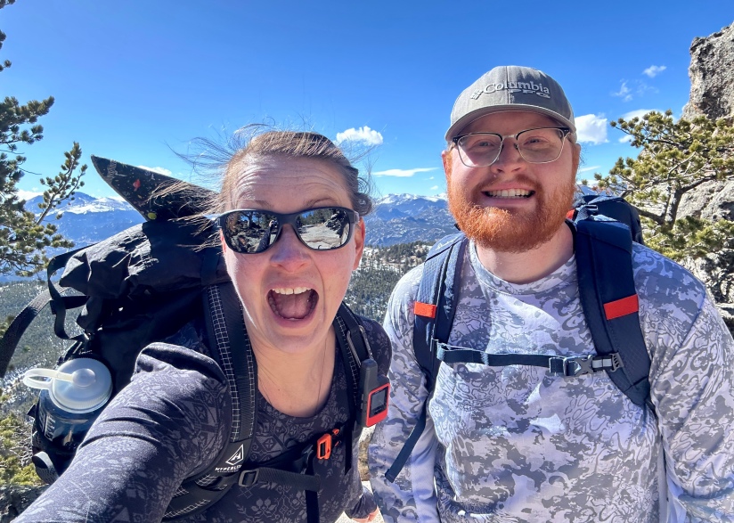
Janice found a nice rock to relax on and waved Taylor and I on to continue to the summit while she rested and snacked. Taylor and I continued the upward trudge, popping out into a hurricane on the summit. We snapped a few quick photos before retreating behind the summit boulders to don our microspikes for the descent.
Shortly before getting back to Janice, I decided to test gravity when in a freak incident the microspike on my right boot got caught and wedged in the lace eyelet of my left boot, binding my feet together. I pitched forward, catching myself with my right hand (better than my face!), before tucking and rolling. “Taylor, I’m stuck!” I yelled out. Taylor laughed, and responded “I can see that!” What he did not realize is my feet were literally stuck together. He pried the microspike out of the eyelet and helped me to my feet. Though I bruised my right hand pretty badly, I otherwise was unscathed. What the heck!
Rejoining up with Janice, we begun our hike back out to the car. The warm sun turned the trail soft and muddy, and it all turned into Type 2 fun quite fast. We were exhausted from tackling such a big climb after a month where we all spent our time in varying degrees of hibernation and laziness.
But we made it! Not every day on the trail can be a rockstar performance, which is how this hike up Crosier Mountain turned out. We rejoiced at the sight of the car, happy to have accomplished this hard day.
Details:
Date Hiked: March 2, 2024
Trailhead: Glen Haven
Total Mileage: 8.54 miles (Garmin Forerunner 255s)
Total Elevation Gain: 2,671 feet
Total Time Spent: 5 hours 22 minutes
Weather: Hellaciously windy
Trail Conditions: Dry lower down with ice and packed snow at higher elevations
Special Considerations: No fee at trailhead. Obey parking guidance in Glen Haven, and avoid parking in reserved spots for businesses and organizations.

I was just wondering I see that their was supposed to be a bat cave around that area I tried hiking it back hit have any luck finding it just wondering if you did it it’s a different trail up their thank you!
LikeLike
I was just wondering I see that their was supposed to be a bat cave around that area I tried hiking it, but didn’t have any luck finding it just wondering if you did find it or if it’s a different trail up their thank you!
LikeLike
I’ve seen a small cave-like area when taking the Garden Gate route up: https://theadventuringheidi.com/2022/06/08/colorado-hiked-crosier-mountain/ I am not sure if this is the bat cave you are looking for!
LikeLike