

I can’t quite figure out why I was fourteen 14ers (the slang term for 14,000+ foot high mountains in Colorado and elsewhere) deep until deciding to head up Mount Elbert, but finally the time came where I had to commit to checking Elbert off the list.
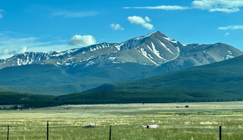
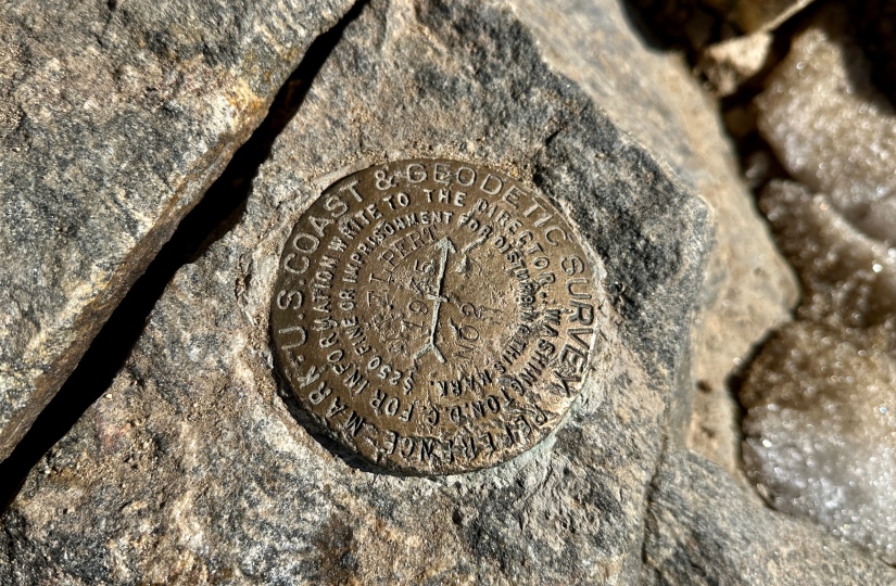
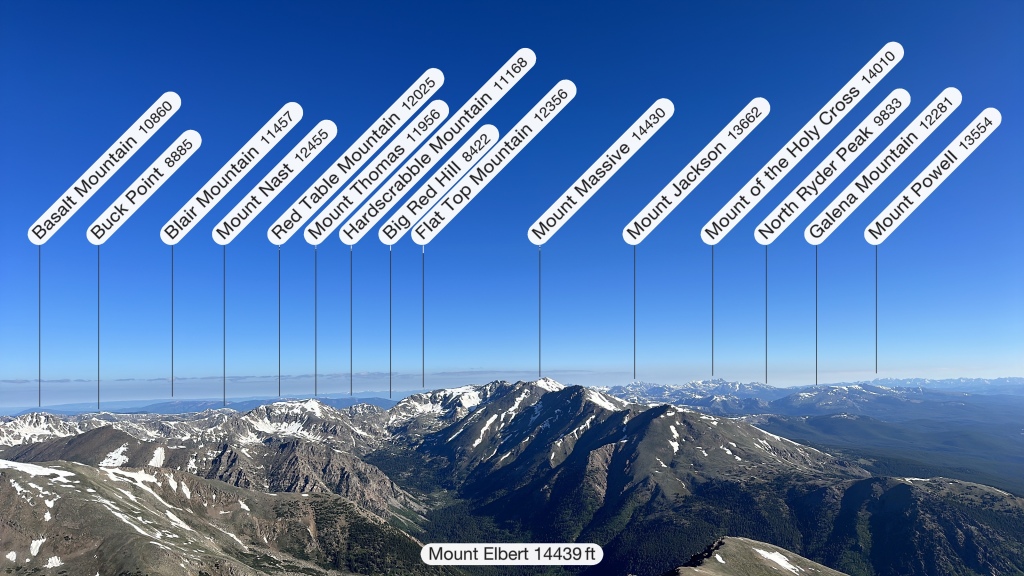
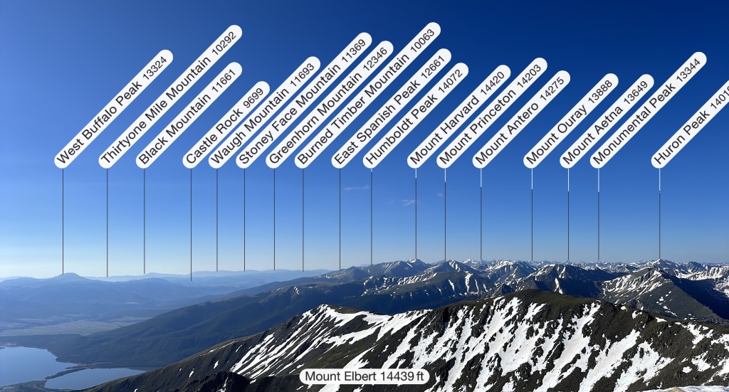
Mount Elbert is Colorado’s high point, the second highest mountain in the contiguous United States (meaning the part without Hawaii, and most importantly in terms of tall mountains, Alaska), and is the highest mountain in the Rocky Mountains. Sitting at 14,438 feet, Mount Elbert is a bit of a surprising mountain as it is pretty tame looking… some think Colorado would have a more impressive and scary looking high point, but alas, the main route up is an easy and established class 1 trail all the way up. Lucky for us, there’s no crazy lottery permitting system like Mount Whitney has (no, I’m not bitter about losing out on that lottery…), no crazy long approach or glacier travel (hi Mount Rainier and Gannett Peak), and it’s flat out not Denali, so Mount Elbert is an easy to nab super high point of the U.S.!
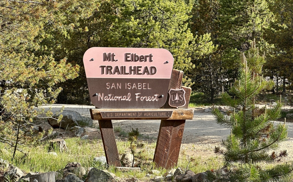
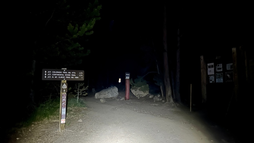
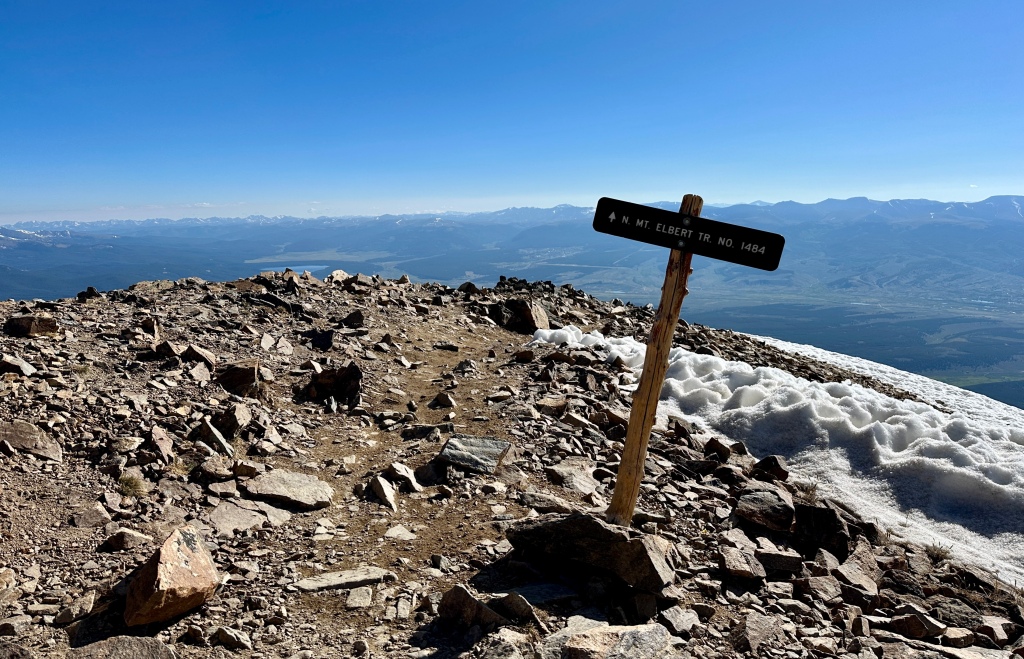
Since it is over a four hour drive for me, I headed down to the trailhead early on Friday afternoon, hoping to beat some long holiday weekend traffic and to find a good spot in the trailhead to cozy up for the night in the back of Fozzy. There are three established trails to the summit, and I decided on the standard route up the northeast ridge as the trailhead is off of a smooth dirt road and is the most straightforward. The east ridge route requires high clearance 4WD to make it to the upper parking lot, and the southeast ridge (or Black Cloud) route is very steep.
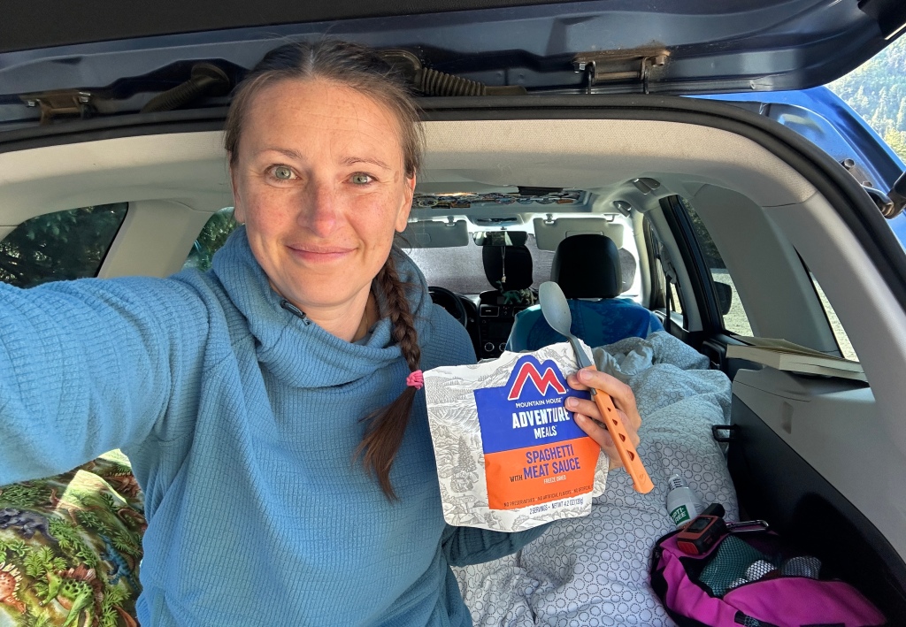
I tend to sleep well snuggled in the back of Fozzy, and was able to get a decently restful sleep leading up to my pre-dawn alarm. It was hovering around freezing, so it took a lot of willpower to get dressed and eat a bit of breakfast before hitting the trail at 4:23am.
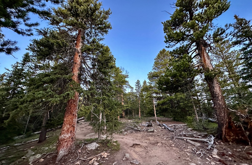
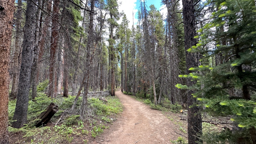
It wasn’t long before I was stripping off my fleece layer that has become known as my Emotional Support Fleece as I am often wearing it when temperatures allow since purchasing it. It was pitch black, so all I could really tell is I was going uphill. My headlamp and motion created shadow creatures and I tried to not let my imagination run away.

Shortly before treeline I killed the headlamp and watched the sun sleepily rise in the east. I must admit, I was feeling puny and not very motivated. I found a lovely tree to enjoy a big snack and a can of Red Bull Summer Edition, my mountain climbing treat.

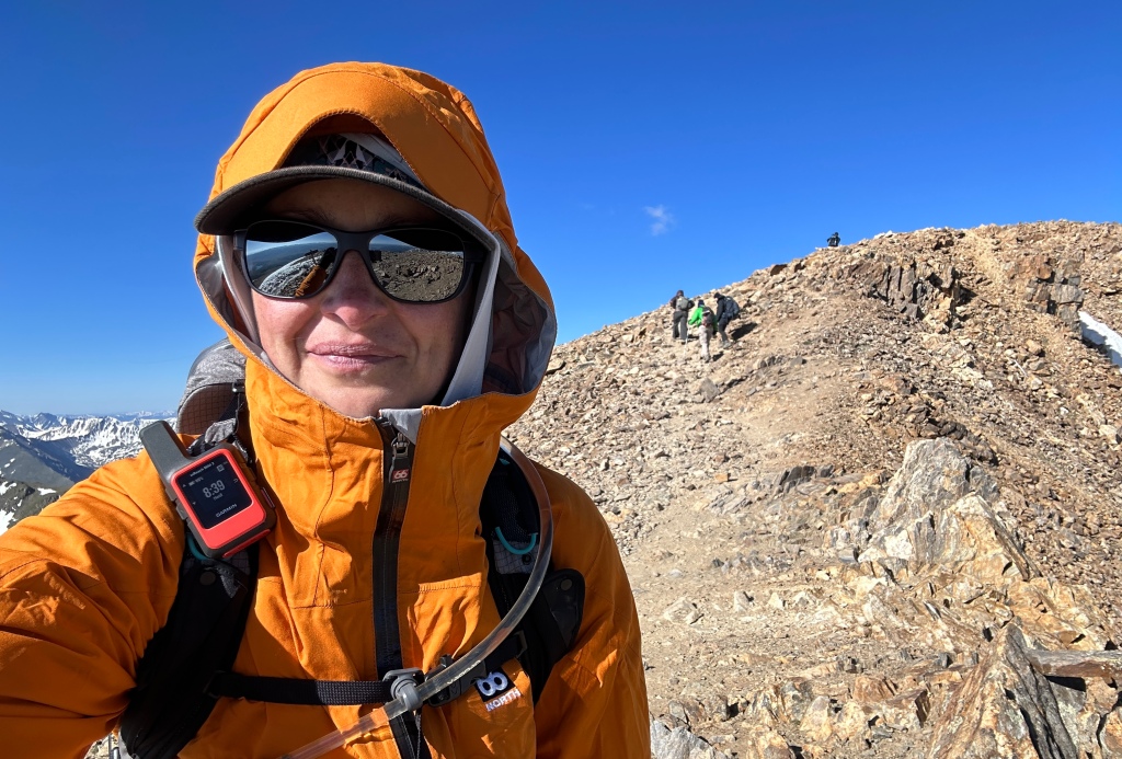
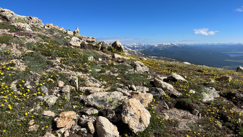
Once out of treeline, motivation found me, and I steadily marched upwards towards the first of two false summits on the route. I got to be THAT person that ruined the day for a few people who thought we were looking at the summit. Similar to other hikes, I fell into a back-and-forth pace with a few others, including a teenager and his stepfather. The teen was a hoot to watch, as he’d run up the trail, and drop and start doing push ups. At one point he looked at me with crazy eyes and said, “I’m delusional as shit right now!” He wasn’t wrong… who does push ups in the middle of a hike above 13,000 feet?!
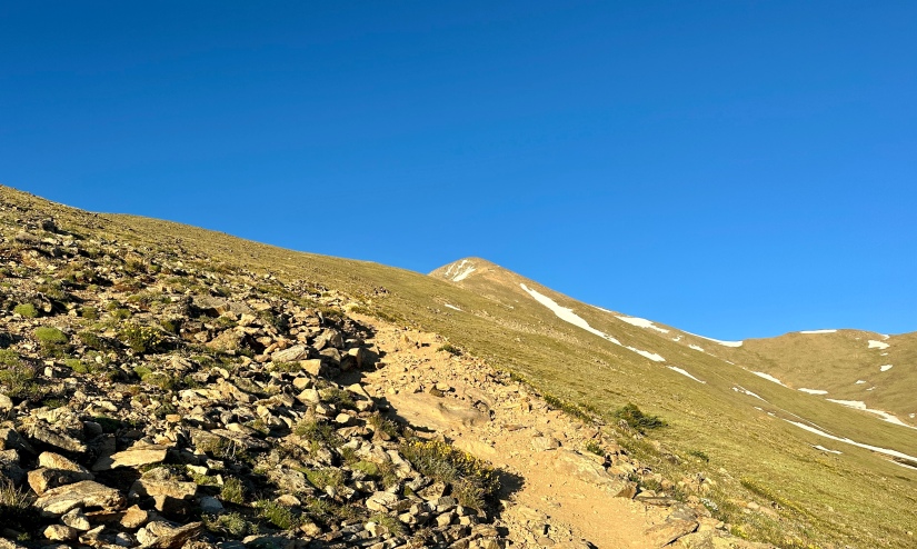

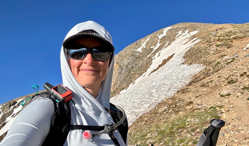
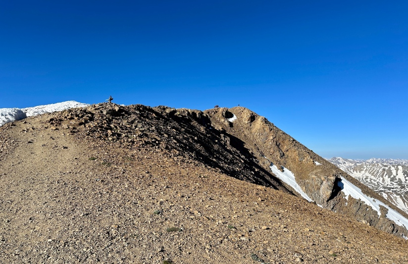
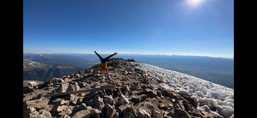
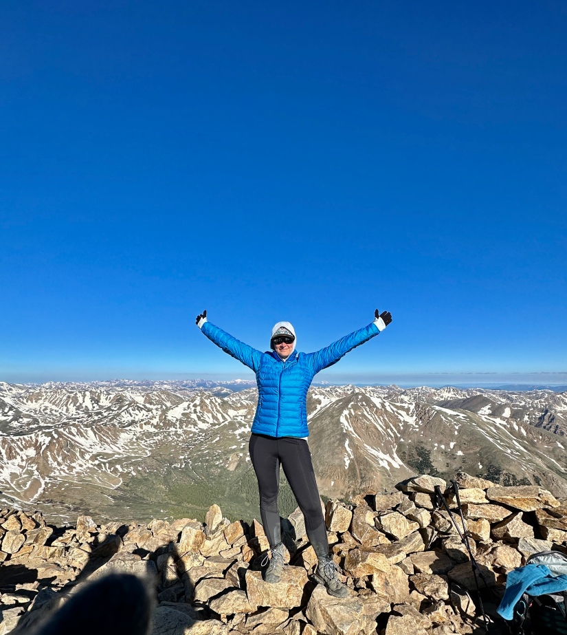
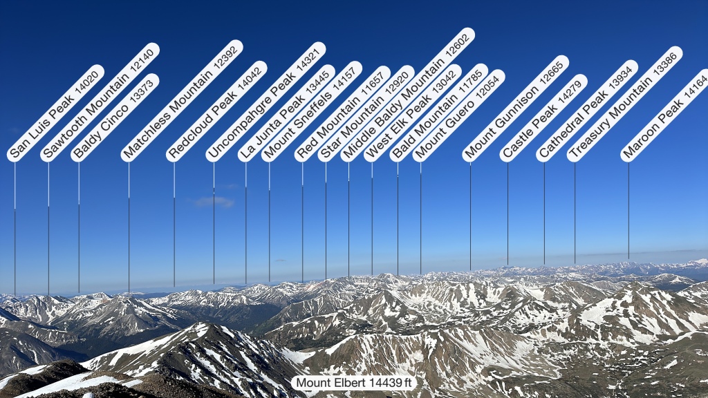
At 8:00am on the dot, I crested onto the summit ridge of Mount Elbert, taking about 3 hours and 17 minutes to make my uphill trudge of 5.3 miles. Colorado 14er #15 summited! The winds were whipping, dipping the windchills into the teens and twenties, so I hurried to add some layers before settling down to snack and chat up the four others I was hiked nearby with.
Maybe thanks to the insane energy drink I drank on the summit, or the decreased oxygen concentration at this elevation, but for some reason I was compelled to jog off the summit. Yes, like that running stuff. I am not a runner. I hauled ass. I seriously can’t explain why, and I must’ve looked quite silly, running in hiking boots and my big pack, compared to the real trail runners. But hey, I only fell twice!
Hitting treeline, I took to steady fast hiking, as apparently I can’t run well on flatter ground. All the way down I had mused about my experience on the neighboring Mount Massive (2nd highest in Colorado, 3rd highest in contiguous U.S.). In 2017 when I climbed Mount Massive, I barely made it off the mountain due to knee pain. At that time I was still 99% competitive cyclist and only rode bicycles, and had insane muscle imbalances where my outer quad muscles literally pulled my knee cap out of joint when walking downhill. We’re talking so bad that our descent time was way slower than our ascent time up the steep southwest ridge route! So here I was, literally running off Mount Elbert nearly six years later, body much more balanced and healthy. Definitely gave me an extra bounce in my step!
Aside from tearing my favorite hiking leggings on a tree stump whilst finding a pee spot, I had an easy hike out, and knew I was getting close to the parking lot when I started seeing the casual dress shoes and Louis Vuitton bags on the shoulders of day hikers.
Car to car, it took me 6 hours 21 minutes, including the 35 minutes I spent on the summit. My Garmin registered 10.53 miles and 4,567 feet of elevation gain. My fastest 14er hike to date, despite being the longest in terms of mileage (excluding Longs Peak which was done as a two-night backpacking trip).
(Also, I am never running off a summit again… I could barely walk for three days afterwards due to muscle soreness….)
Details:
Date Hiked: July 1, 2023
Trailhead: Mount Elbert (North)
Total Mileage: 10.53 miles (Garmin Forerunner 255)
Elevation Gain: 4,567 feet
Time: 6 hours 21 minutes
Weather: Sunny, clear, but super chilly on the summit!
Trail Conditions: Dry
Special Considerations: The trailhead is large, but will fill on weekends in the summer by the wee hours of the morning.


Leave a comment