

My 40th birthday trip has had quite a few iterations over the past year of planning, but in the end it still involved the thing it always had in the plan: the annular solar eclipse in Great Basin National Park on October 14th. “Last minute” plans came to fruition about a month out, and a trip was on to the desert, strange and new places, and a few new National Park Service units!
October 10, 2023 – After a delayed evening flight to Las Vegas (missing pilots…) and a forever wait for bags in the airport, it was finally time for the adventure to begin! These was a quick In N Out stop for dinner (my fave!) and then we headed north on US Highway 93 (aka the Great Basin Highway) with hopes of finding a dispersed camping spot on BLM land. Here’s to yet another adventure of falling asleep in a strange place, with anticipation of seeing what it looks like in the morning!
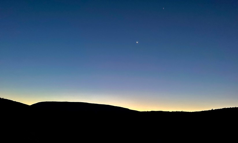
October 11, 2023 – We awoke to a crisp morning in the dry desert air near Pahranagat National Wildlife Refuge and, much to everyone’s amusement, “Area 51” (a few mountain ranges over at least, but close enough to count). I sleepily watched the sunrise while wearing my comically puffy down jacket, observing my body drying out every second (seriously, it was so dry!). With it sadly being a Wednesday, the visitor center at the wildlife refuge was not open, so we figured it would be a pretty straightforward day of heading north through the Great Basin, hunting for alien jerky, slot canyons, small towns teetering on becoming ghost towns, and alpine views.


The Sinclair gas station at Alamo provided a surprise grocery store opportunity, so we stocked up on some essentials, water, and bagged salad for lunch. Given Eric’s habit for coming dangerously close to running out of gas on adventures, we also fueled up the truck.

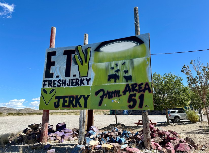
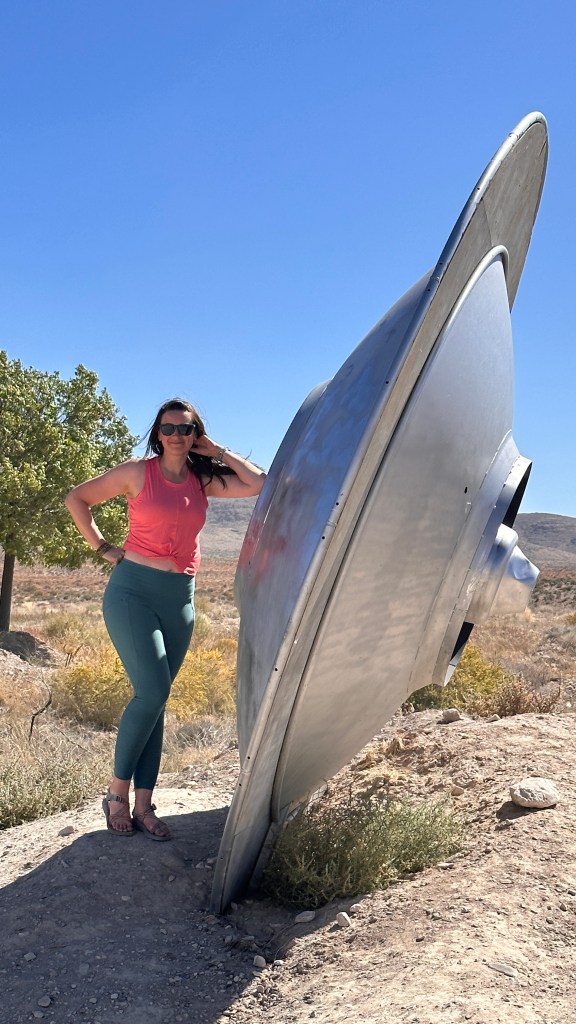
Nothing spells a desert adventure like stopping at random roadside jerky stands in the middle of nowhere, so we made the stop at ET Fresh Jerky outside of Crystal Springs and the intersection with the “Extraterrestrial Highway.” Aside from UFO and alien memorabilia, this store did have an impressive amount of jerky to choose from, and I settled on a sweet garlic beef variety.


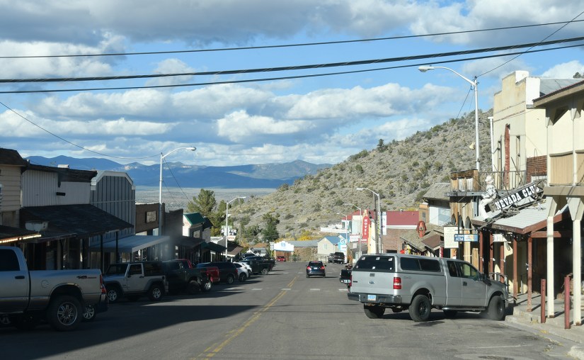
We continued north, taking a quick lunch stop at the Oak Springs Trilobite Site, and with me googling demographic statistics on the tiny towns we came across such as Caliente and Pioche.


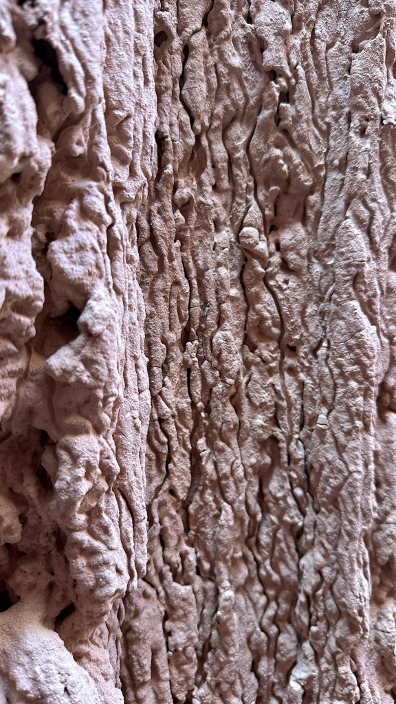
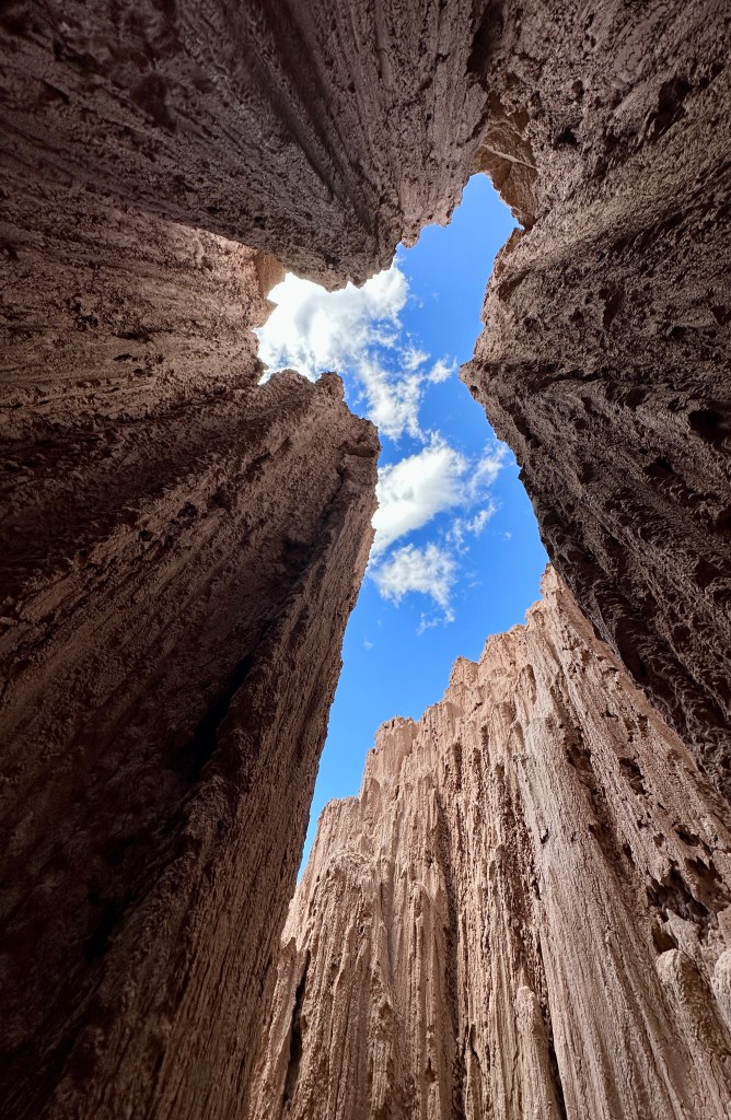
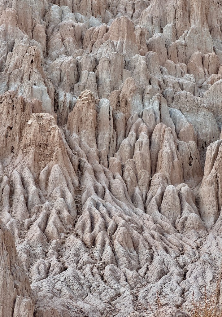
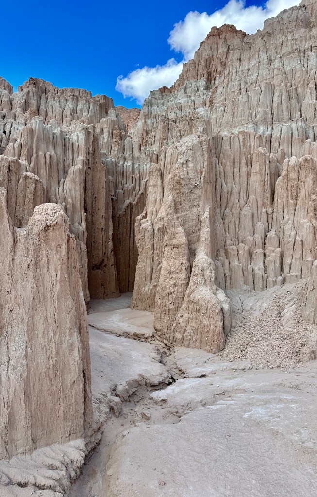
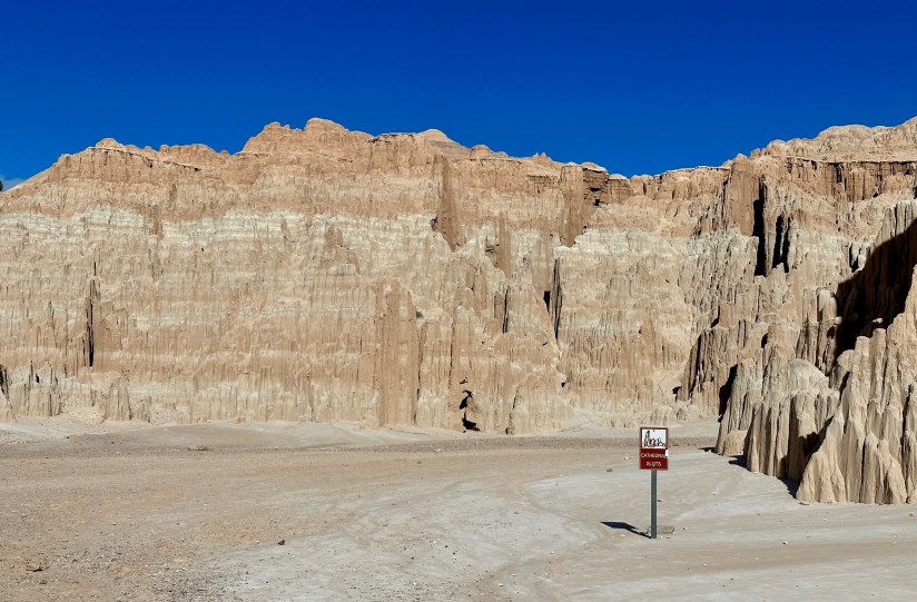
Cathedral Gorge State Park was our first main destination of the day. I had learned of this place while researching what the heck there was in this part of Nevada, and after seeing just a few photos knew it was worth the $10 entry fee for non-NV residents, especially since it is right on Highway 93. Tens of millions years ago, volcanic eruptions from the Caliente Caldera Complex covered this area in ash. Millions of years after the end of the eruptions, faulting occurred that created a freshwater lake in the depression, and rains carried eroded ash and pumice into the depression. The slot canyons, spires, and formations seen today are the bentonite clay remnants of this ancient lake.
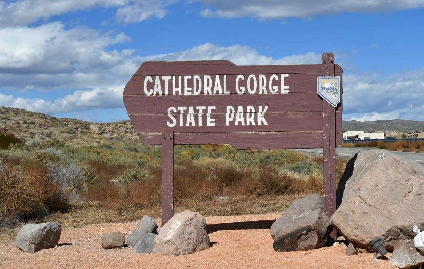
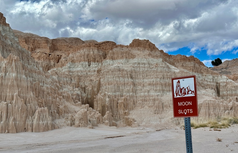
Our first stop was the fee box (where a passport stamp for the Nevada state parks system is also located!), and then we headed out on a “choose your own adventure” meander through the Moon Caves and Cathedral Caves.


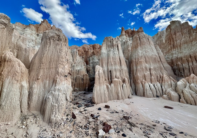

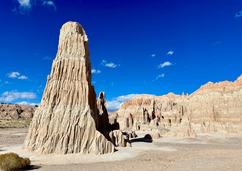


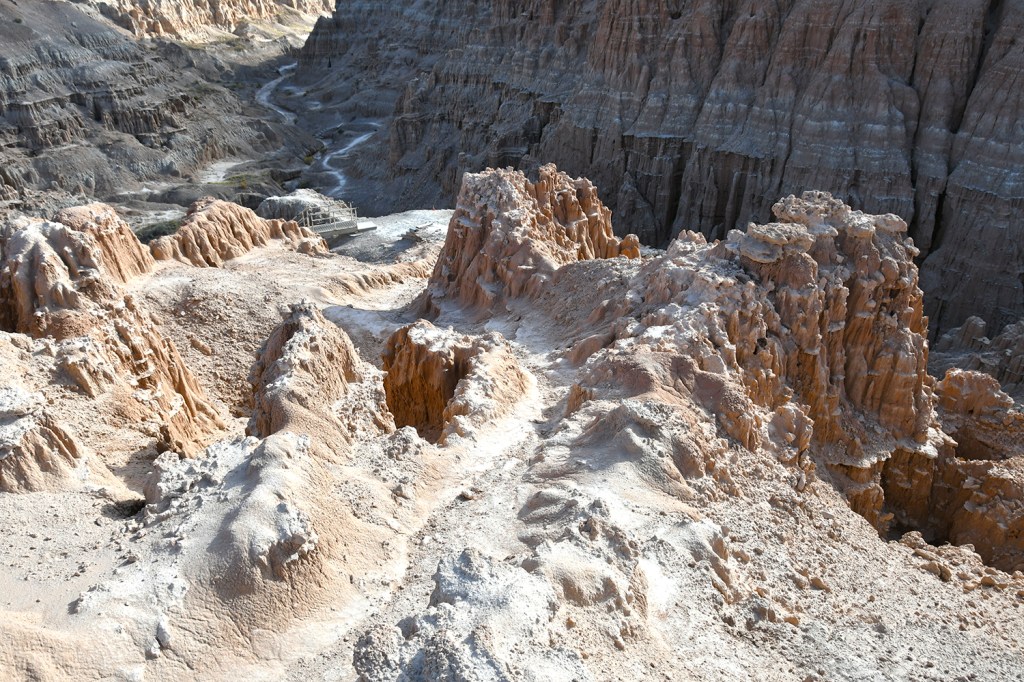
There are longer hikes that can be done in Cathedral Gorge, but we were satisfied with the slot canyon exploring, and still had a few hours of driving ahead of us. (Being on the eastern edge of the Pacific Time Zone meant sunset also came at an uncomfortably early hour for me!) However, we did make the quick, and well-worth it stop at the Millers Point overlook for a birds eye view of Cathedral Gorge before continuing the drive north.


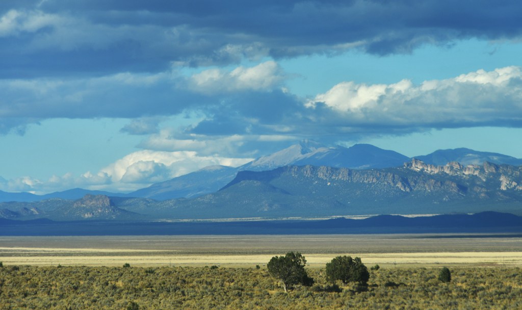
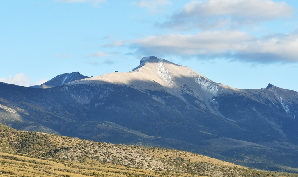

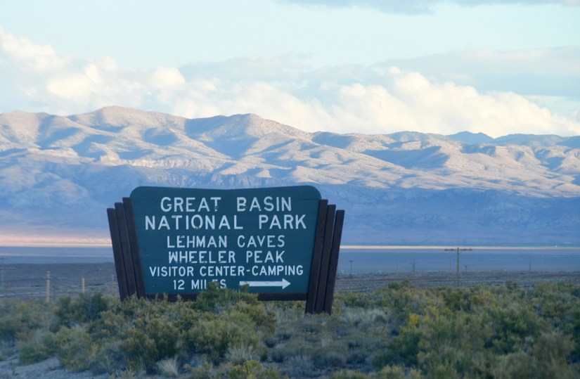
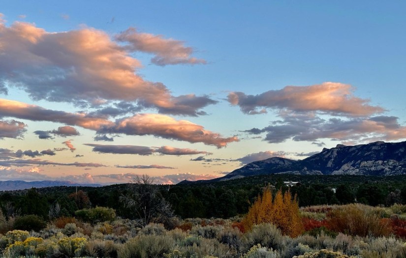
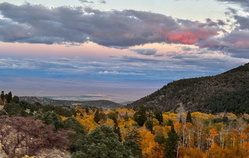
Finally after hours in the truck, we rolled into Baker, NV, the tiny town (population less than 50) that sits outside of Great Basin National Park, the main destination of the trip. As one of the least visited national parks in the U.S., Great Basin offers up a stunning amount of variety, from a formation-rich cave system (Lehman Caves) to a 13,063 feet alpine summit (Wheeler Peak)… but really only has one main paved road, making it seem a lot smaller than it actually is. Knowing that crowds could be possibly flooding in for the eclipse, we set out to find a campsite for the next three nights.

We did not have much luck at the Upper Lehman Campground within the park boundaries, which had a handwritten sign explaining that it was full (NPS made all campgrounds within the park boundaries first-come-first-serve for this week, though they are reservable for the summer months). So we decided on the next best thing, and broke out the map a park ranger provided Eric a few weeks back on BLM dispersed camping… just to find roads gated off. Arghhhh… so next it was to iOverlander to find some sites.

And here is where Google Maps did us dirty. We did decided on a great campsite found on the app, and plugged the coordinates into Google Maps. Seemed okay, but it quickly became obvious that the “road” conditions we were experiencing were not matching up to the reviews on iOverlander. “There is nothing ‘easy and 2WD friendly’ about this,” we remarked as the double track became narrower and narrower, and I had to jump out to hold back tree branches. At one point I scrutinized the reviews more, and realized there was a perfectly graded, wide gravel road that lead up to a small access road to the campsite… no need for the adventure we were on! Oh Google Maps… at least we had a capable vehicle! We arrived to find the campsite available, and quickly set up so we could get a good start on resting up after a long day of driving.

That was a really cool and fun adventure and the photos were amazing. Happy 40th birthday.
LikeLiked by 1 person
Thank you! The first full day of the trip was pretty cool!
LikeLiked by 1 person