

Rocky Mountain National Park encompasses 415 square miles, with 300 miles of hiking trails. So much park to explore, so little time…
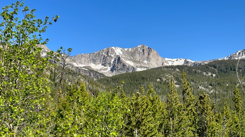
Wild Basin is one area of RMNP that I had not made it to, as I am a creature of habit that returns over and over to the Bear Lake Corridor and areas near the Estes Park entrances. Located on the southeastern end of the park, Wild Basin is known for its high concentration of waterfalls, alpine lakes, and long hikes with big rewards (and little in the terms of crowds). Since I had a wilderness camping permit for Wild Basin in late August for a summit attempt of Mount Alice, I decided a teaser hike would be a great way to familiarize myself with the area before my overnight trip.
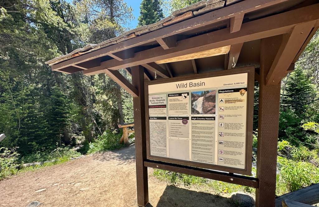
After a few miles of gravel road (which I did not find particularly challenging in my Subaru, though the tourist reviews make it out to be an extreme Jeep road), I arrived at the Wild Basin trailhead about 7:25am, securing a spot in the main parking lot much to my delight. (By the time I was leaving after my hike, cars were parked all along the overflow spots down the road, adding decent mileage to any hike.)
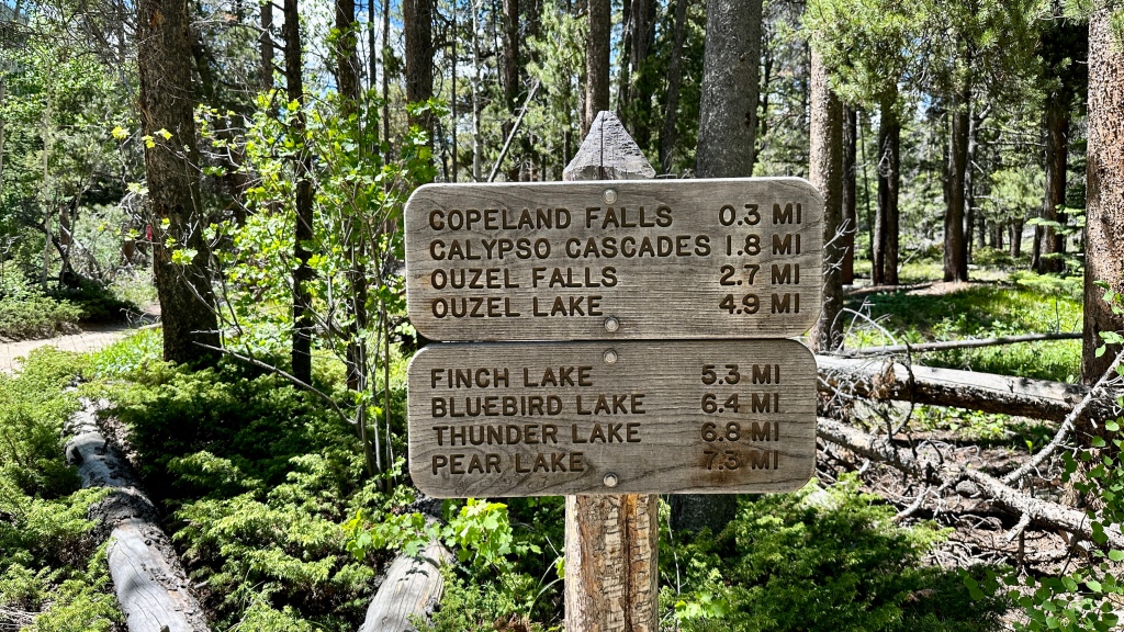
I had loosely picked out Bluebird Lake as my day’s destination, which is about six miles from the trailhead. I wasn’t totally sure I would make it all the way, but figured it would be a good day nonetheless.
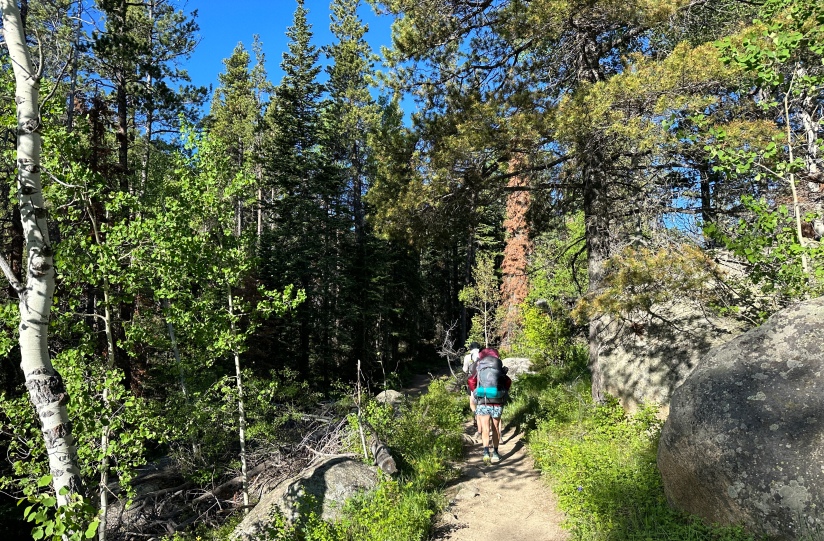
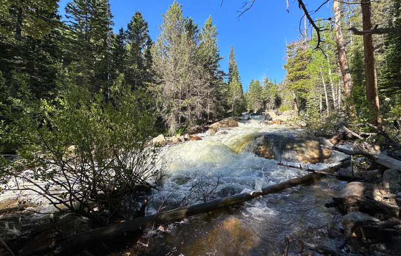
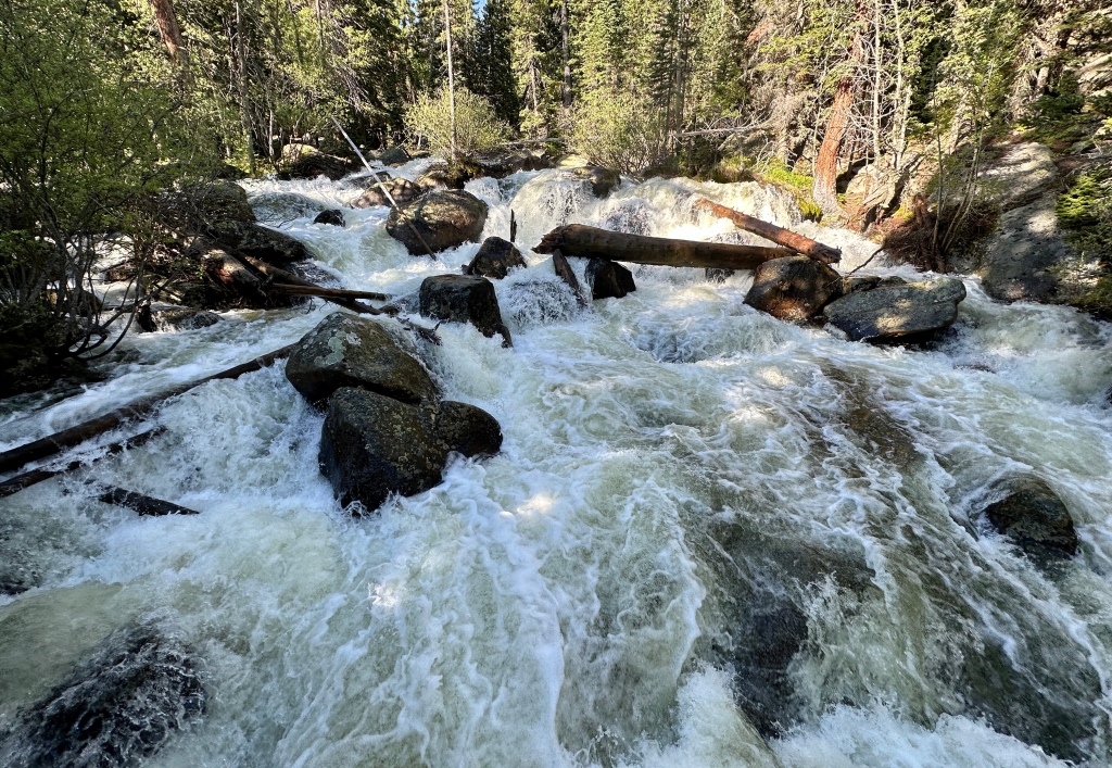
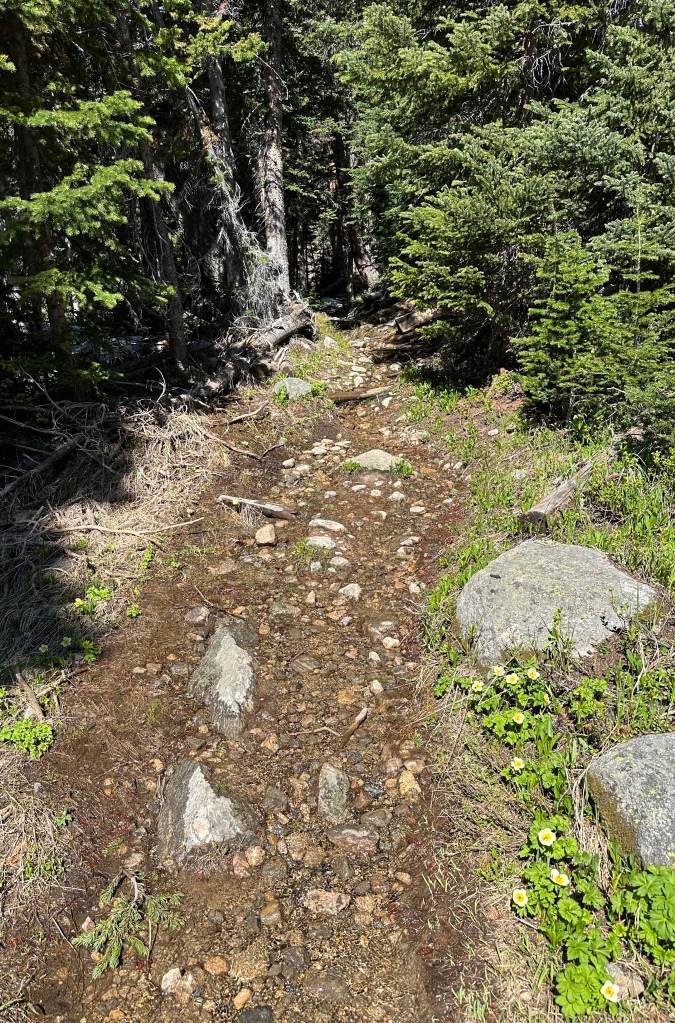
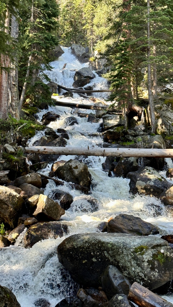
The trail was forested, which was helpful under the summer sun. I skipped the short view trails for Copeland Falls and Calypso Cascades (I know, I skipped waterfalls! What’s wrong with me?!), and only briefly paused at the bridge by Ouzel Falls, opting not to go closer at this time. I kick myself for that, as on my return trip the falls were crawling with people, making it really impossible to try to get closer.

I did just miss a black bear by mere seconds. A photographer kindly showed me the photos he took of the bear before it moved on. While bears are not overly common in Rocky Mountain National Park, Wild Basin is one of the areas they’ve been frequenting in 2023. (No grizzlies are in the area, at least.)
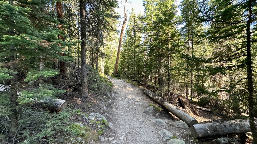
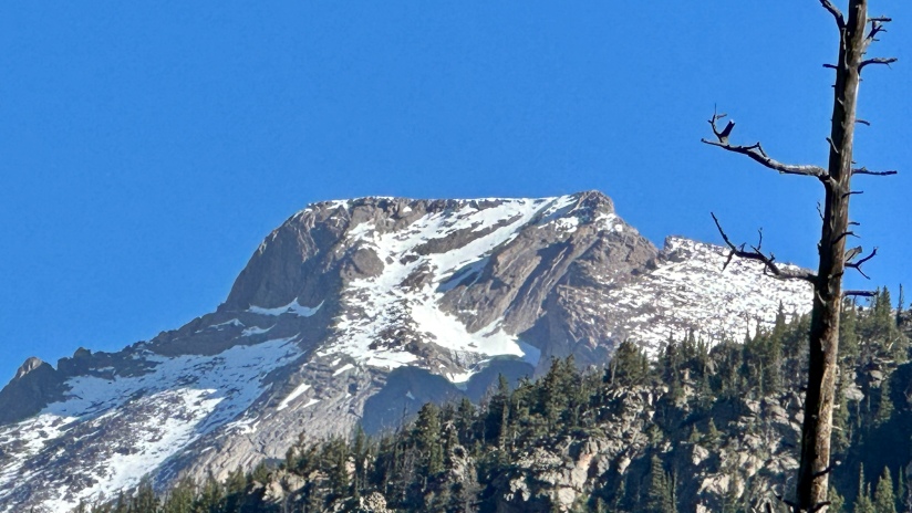
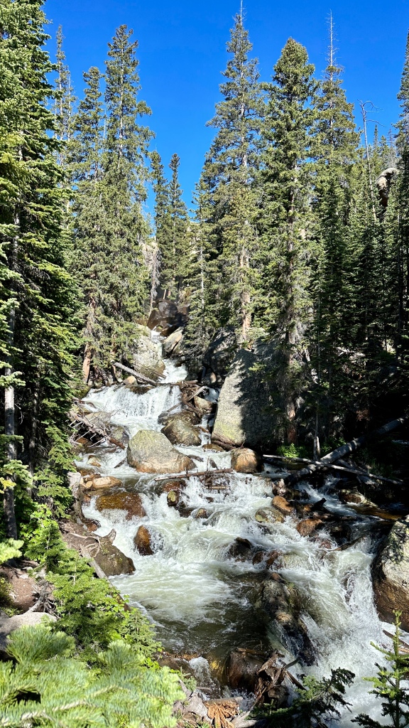
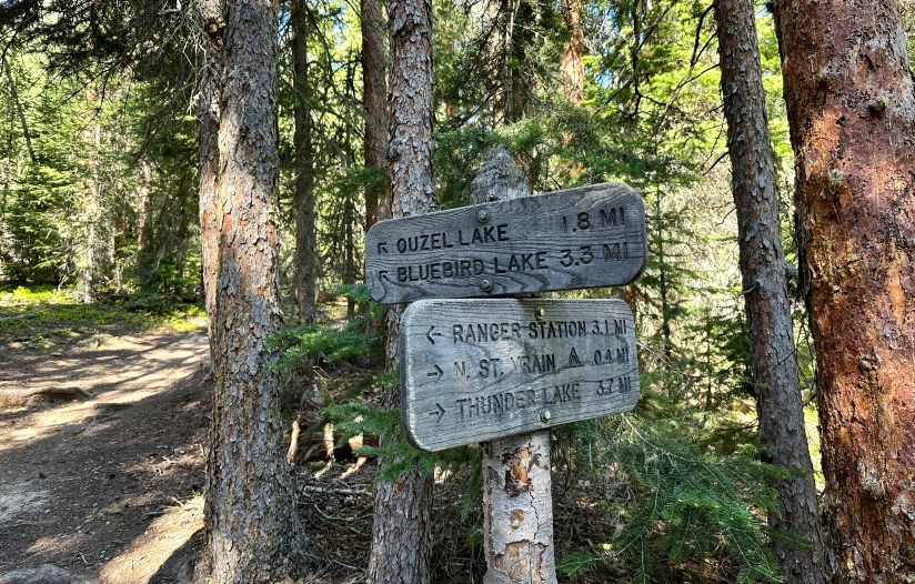
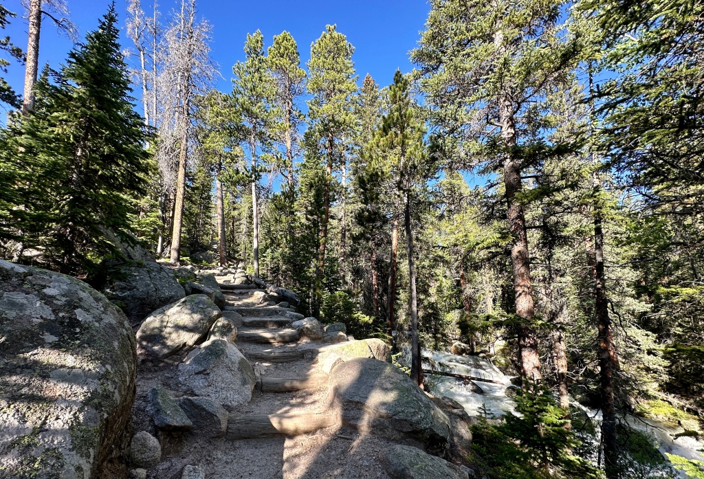
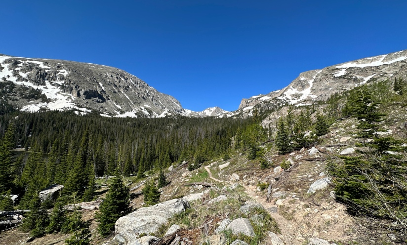
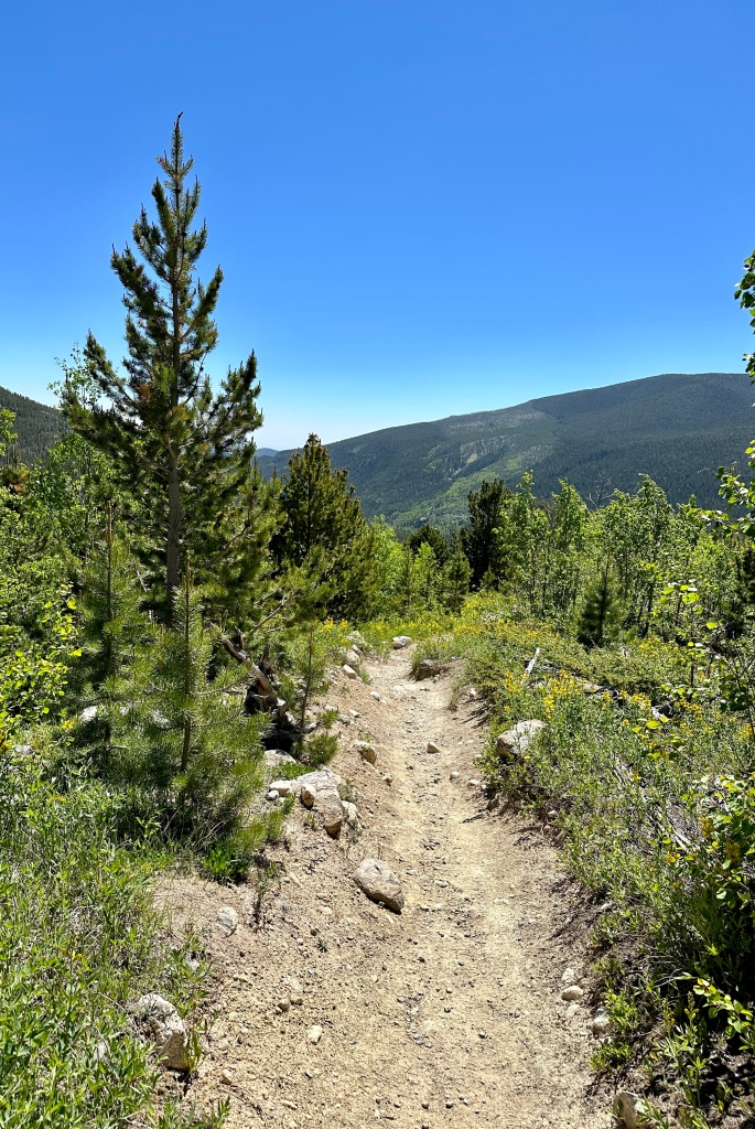
The first three miles to Ouzel Falls is definitely the most popular part of Wild Basin, and where one can expect to find the biggest crowds. Once I continued past Ouzel Falls, the crowds thinned to practically nothing and I had solitude as I made my way to the trail split for Thunder Lake (to be explored later in the summer), and Ouzel Lake/Bluebird Lake (today’s destination). Here the trail gained elevation sharply to a ridgeline that travels through an area burned in the 1978 Ouzel Fire.
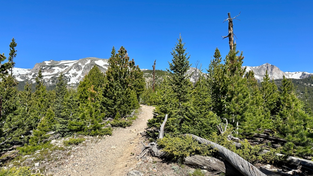
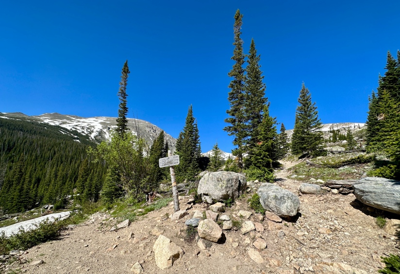
At about 1.4 miles I came to another trail split, with the left trail descending down to Ouzel Lake, considered a great backcountry fishing location. The right trail would climb another 1.8 miles to Bluebird Lake. I had a decision to make, and decided I would head towards Bluebird Lake and see how far I got.
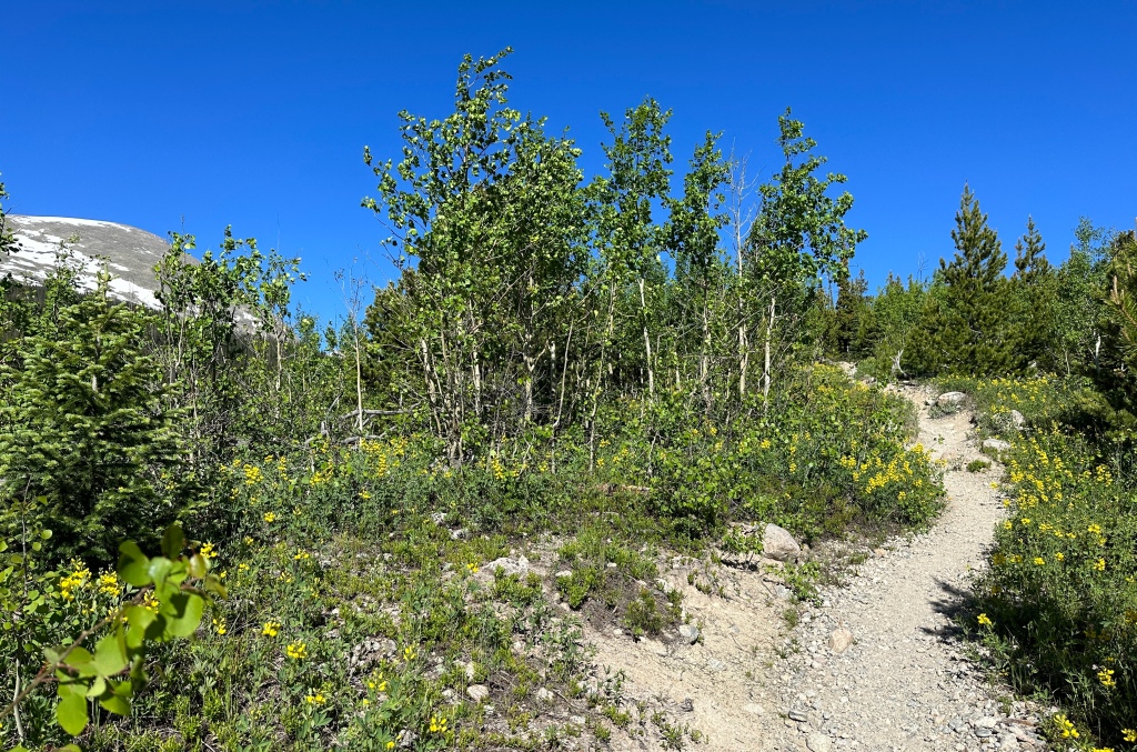
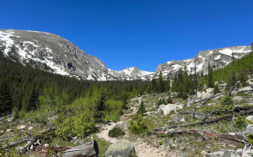
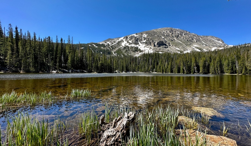
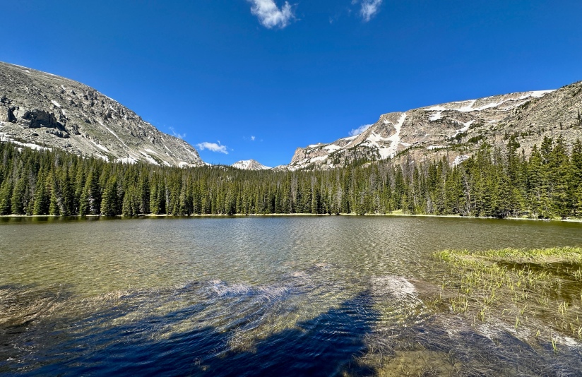
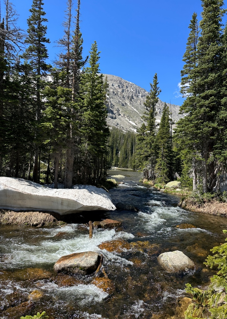
After maybe less than a mile, the trail turned to a stream with snowmelt run-off, and became muddy in parts, snow covered in others. By now I was feeling a bit tired, also was wary of how much snow I would continue to run into, and worried my boots’ Gore-Tex would end up failing and I’d be hiking with soggy feet. I called it quits on Bluebird Lake after 5.4 miles of hiking, moving it to the “on another day!” list, and headed back down with the intent to visit Ouzel Lake, a wooded lake at 10,020 feet in elevation.

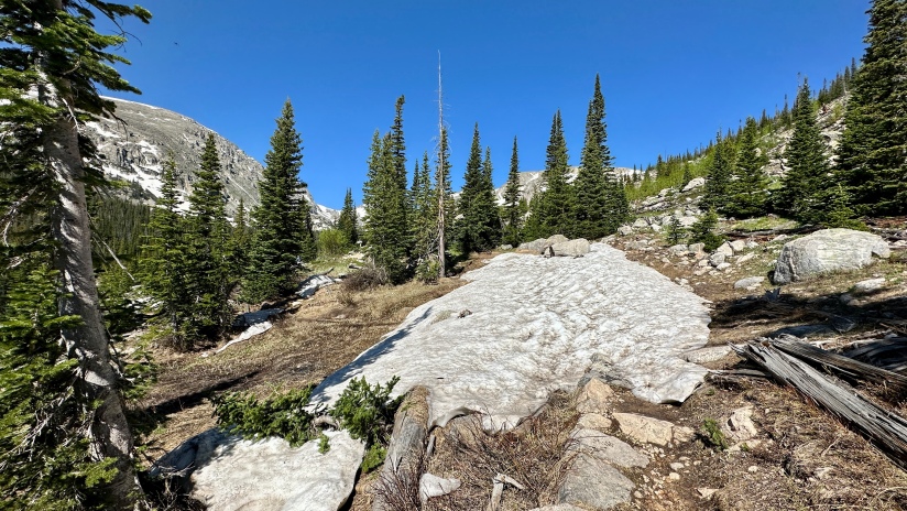
Ouzel Lake requires a ten-mile roundtrip hike, so I did finally come across other humans, but the distance from trailhead still keeps the majority away. The trail was still quite snowy and wet, but I quickly made my way down the half-mile trail to the lake’s shore, where I snapped some photos, had a snack, and covered my face in thick, white zinc sunscreen that I did not rub in enough, so I had an alarmingly unbeknownst-to-me white face the rest the day (which I discovered upon arriving home and looking in the mirror to a small shriek of terror).


Today’s backup destination reached, now I just had the five mile downhill hike back to the car. Crowds had picked up, and after Ouzel Falls there was a lot of navigating the crowds to be had (luckily my neon white face made people move rather quickly away from me, as I was a scary sight… like a ghost).
For someone so into waterfalls, I probably did not do this day justice as I really did not take time to explore any of the waterfalls. Just more reason I’ll need to come here more! Because several of the waterfalls are close to the trailhead, Wild Basin is a great option for shorter hikes, and even Ouzel Falls is just a six-mile roundtrip. Reaching other destinations in Wild Basin are a lot more committing as distances get long, and summiting many of the mountains can reach 17-20+ miles in distance if done in one go. Something for everybody!
Details:
Date Hiked: June 24, 2023
Trailhead: Wild Basin
Total Mileage: 11.7 miles (Garmin Forerunner 255s/Strava)
Elevation Gain: 2,310 feet
Time: 4 hours 56 minutes
Weather: Sunny!
Trail Conditions: Dry with snow and mud at the upper reaches
Special Considerations: This hike is within Rocky Mountain National Park, which has an entry fee. During the peak summer months, a timed entry reservation must also be obtained to reach this trailhead between 9am and 2pm during timed entry season. There are bathrooms and a ranger station at the trailhead.

Soooo… you made the same mistake as we did the first time we hiked this trail. That’s not Ouzel Falls! After you cross the bridge you have to turn right and walk up the creek to see the actual falls. Just so you know for next time 🙂
LikeLiked by 1 person
Trueeee… I did see a touch of the actual big(ger) falls when I hustled by. Eventually… My latest trip I took the campsite bypass trail so once again missed Ouzel Falls.
LikeLiked by 1 person