- Located in California
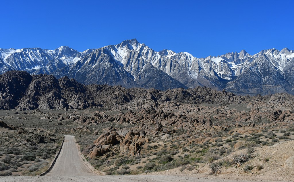
- High point: San Gorgonio (11,501 feet, 3506 meters)
- Highest mountain in California south of the Sierra Nevada mountains
- Longest recorded line of sight in the contiguous U.S. as the summit is visible from Mount Whitney, which is 190 miles away
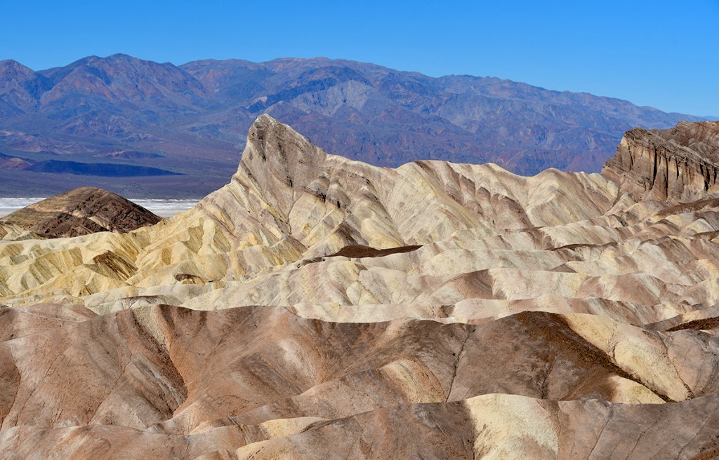
- Wilderness areas: Bighorn Mountain, Cahuilla Mountain, Cucamonga, San Gorgonio, San Jacinto, Santa Rosa, Sheep Mountain, and South Fork San Jacinto
- Website

A Taste of the PCT: Snow Creek to San Jacinto Wilderness
When a work trip took me to Palm Springs, California, I was quick to research activities I could do in the few personal hours I would have. Once I realized the Pacific Crest Trail (PCT) was a mere 15 minutes away from my hotel, I quickly made plans for a pre-dawn hike on a 3.5…