

July 16-21, 2023
Had I ridden a bike much in 2023? Hell no. Mostly I’ve been off hiking or doing anything to avoid riding a bike, especially if it was not a mountain bike. The prospect of riding 350 miles in a six day period, therefore, was quite daunting, especially the two days of 6000 feet of climbing. But riding a bike is like riding a bike… it all comes back, sometimes with a few Strava QOMs attached.
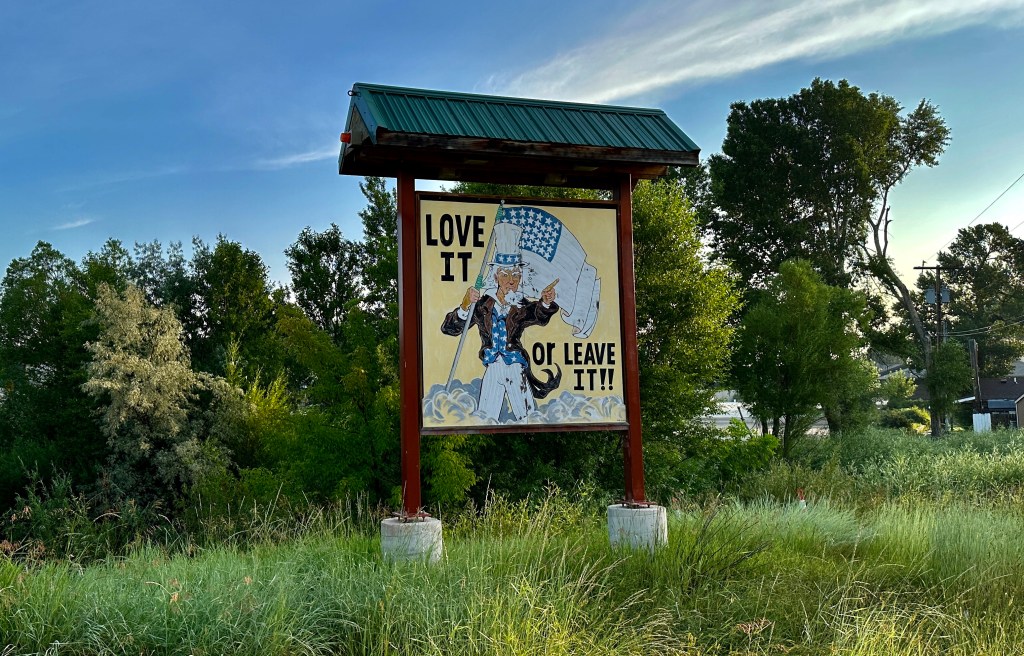
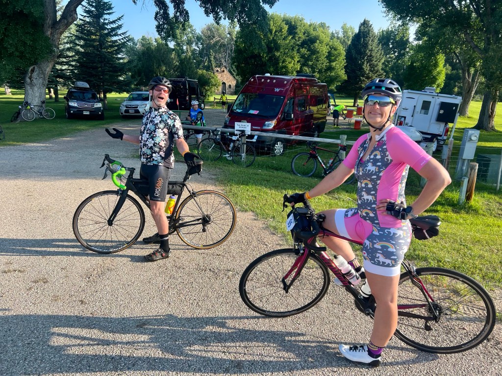
I have to start off with the disclaimer: I hate bike tours. I realized this in 2015 when I did Tour de Wyoming. They are just not my “scene” in the bicycle world. But alas, here I was in 2023 lining up for my second Tour de Wyoming, on the basis of rumors swirling that this would be the last one ever (appears to be unfounded as of this writing) and the fact the route would take us up and over the Bighorn Mountains in northern Wyoming twice, which is one of my favorite places in the world and a place I have always wanted to road cycle through. But for the bike tour part, I could do without the 250 other people, hot afternoons spent on high school sports fields, sketchy bike handling, literal throwing and tearing of luggage, and 4am alarms set by others. Just had to get that out there as a disclaimer…
Day 1 – Buffalo to Sheridan
51.73 miles 1,148 feet of elevation gain
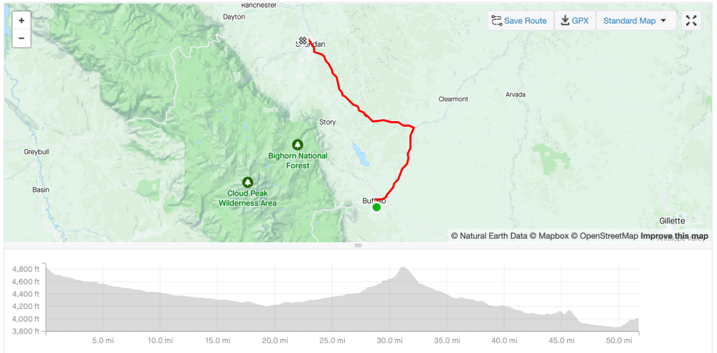
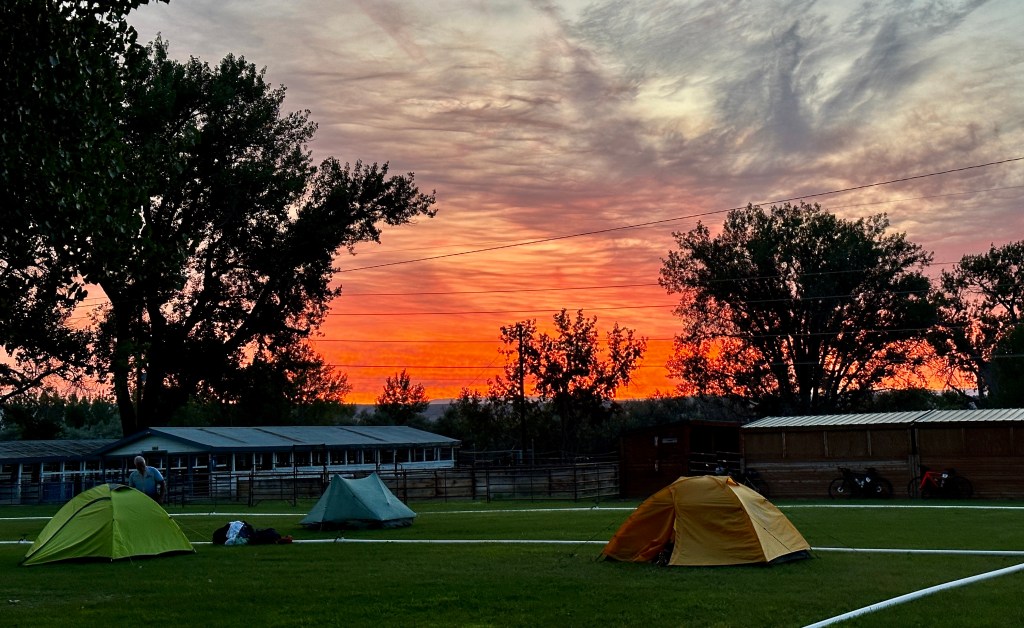
This was a casual day to ease us into the miles of the tour, and it was a fast one for the first half as we descended through ranch country towards Ucross. At one point I was spinning 70 watts and going 24 mph, so quite a nice warmup! My whole goal of the week was to keep the power easy and everything just nice and calm to hopefully limp my legs towards the finish. A little over three hours after leaving Buffalo I was pulling into the hot and humid Sheridan High School and schlepping my luggage a good half mile to the clear other side of the stadium to find a shaded spot. I definitely had the best campsite for the night! Overall, the rest of the day was defined by hot weather, hungry belly (nothing in Sheridan to eat is close to the high school), and just overall being over being on the TdW as I was a tad homesick and missing peeps and cats back home. Luckily my yoga instructor was along for the tour with her husband that was riding, so I was able to get some good stretching and zen moments in (and a heaping plate of pasta salad after I started crying at the end of yoga… seriously, it was a whole mood this day).


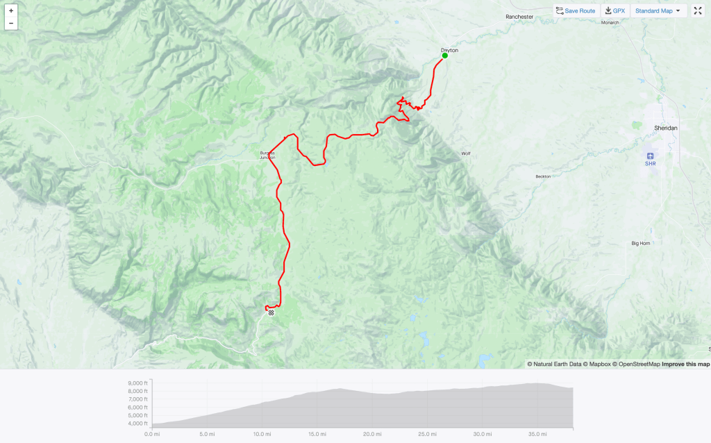
Day 2 – Sheridan to Dayton
60.66 miles 2,449 feet of elevation gain
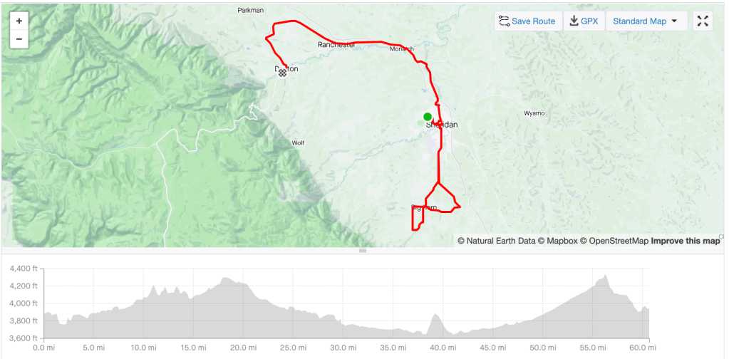
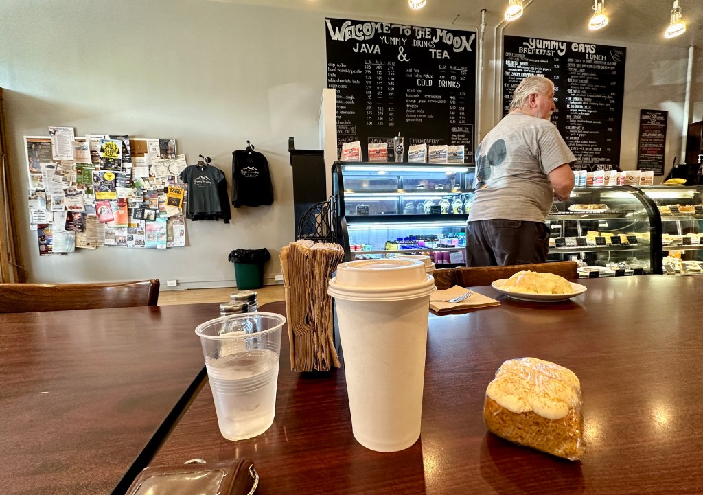
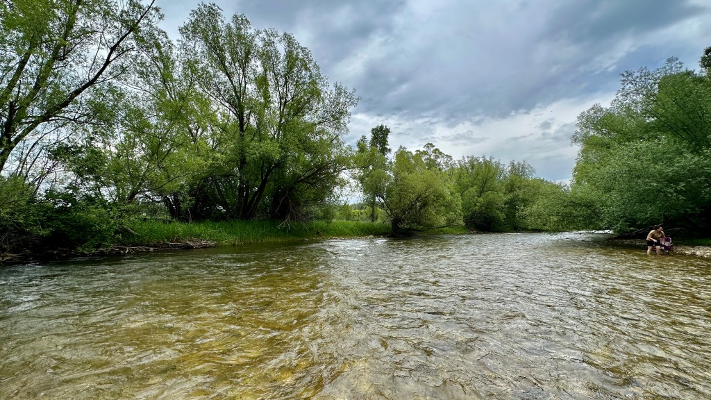
Sheridan and Dayton are not far apart, but TdW has a special way of turning a 20 mile trip into 60+ miles! My mood had improved, and I took to riding the loops south of Sheridan with zeal as these are my normal riding routes when I am in Sheridan for work, so I am familiar with the roads over the hills of Kruse Creek Road and through Brinton. Even better was a halfway stop at Java Moon for a huckleberry latte and pumpkin bar! It was a hot day again, but the fueling in Sheridan helped with motivation to push the false flat climb out of Ranchester towards Dayton. With the stop at Java Moon, today took 4 hours 30 minutes total. We stayed overnight at Tongue River High School, and luckily businesses in Dayton were open on this Monday especially to feed all of us hungry cyclists (normally they are all closed on Mondays). We settled on Gallery on Main for lunch, and then enjoyed dipping our feet into the Tongue River in the town park before heading back to the school for the evening.
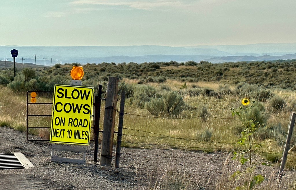
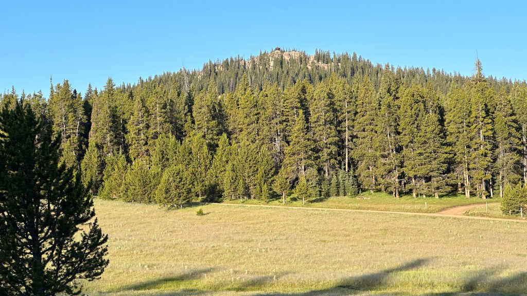
Day 3 – Dayton to Antelope Butte Ski Area
38.24 miles 6,016 feet elevation gain
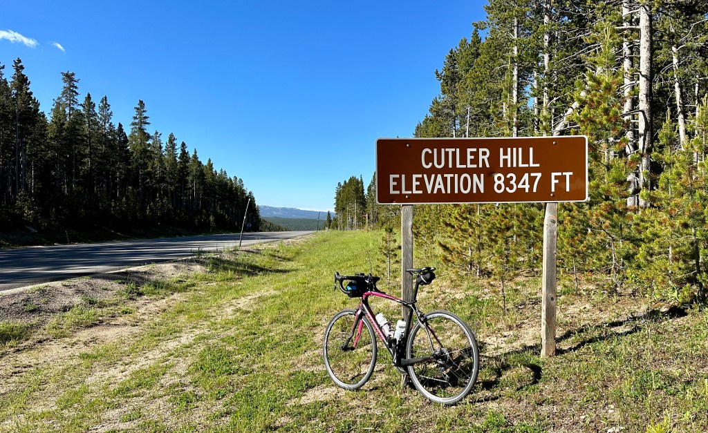
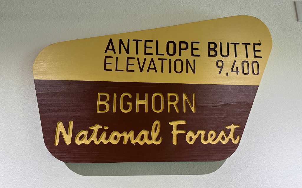
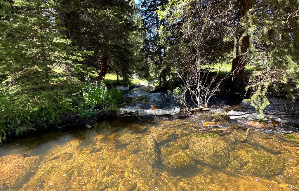
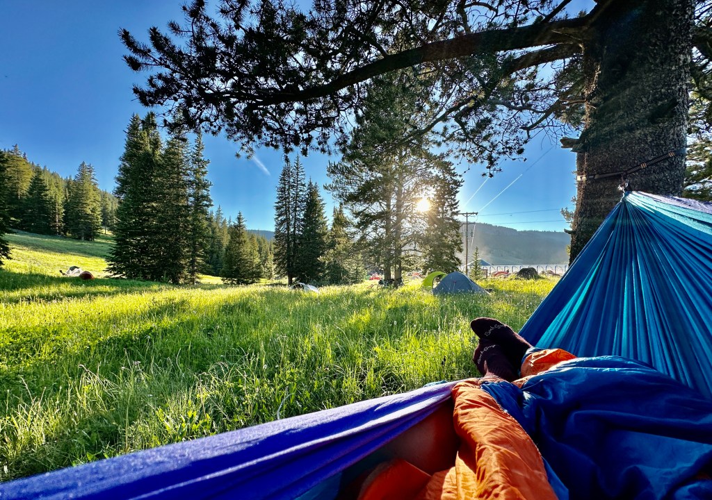
This was the day I was dreading… something about doing over 6000 feet of climbing in 38 miles on a bike is just awful at this stage in my cycling life. Sure, give me 5700 feet in 6 miles on foot (looking at you, Mount Saint Helens)… that doable. But propelling oneself on a bike against gravity is awful. But Heidi, wasn’t your specialty climbing back in the day, you say? Hush your mouth! This is the day I surprised myself. First was the initial 16 mile climb to Cutler Hill, where the bulk of elevation gain occurred. I rode strong, which gave me a boost. The second surprised came after Burgess Junction, where I had to ride 12 miles into a stiff headwind, uphill. This was all mental, and I made it. Still reveling in how much that climb up Mount Saint Helens in May gave me a complete mental reset when it came to mentally pushing myself to do hard things! As I flew downhill the last few miles past a moose, I was relieved to be arriving at Antelope Butte Ski Area! Another 4 hours and 30 minutes for me today, including my stop at the Burgess Junction visitor center for the passport stamp. This was also the day my pickle juice shot obsession became a thing, ha! This overnight spot was my favorite as we found campsites along the stream, and I could hammock. A special treat is my cat’s former vet now runs the ski area, and I could catch up with her (she instantly knew who I was when I said their name). This day was hard, but the mountains renewed my soul and energy!


Day 4 – Antelope Butte Ski Area to Basin
81.89 miles 1,670 feet of elevation gain

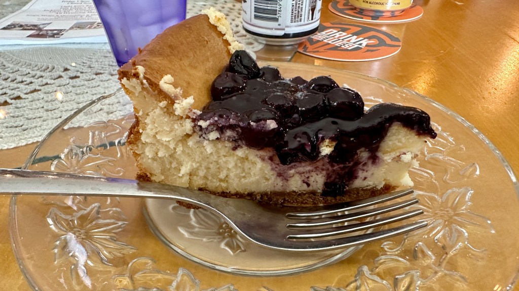
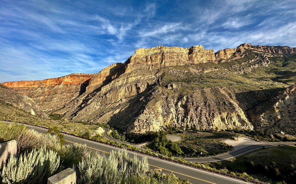
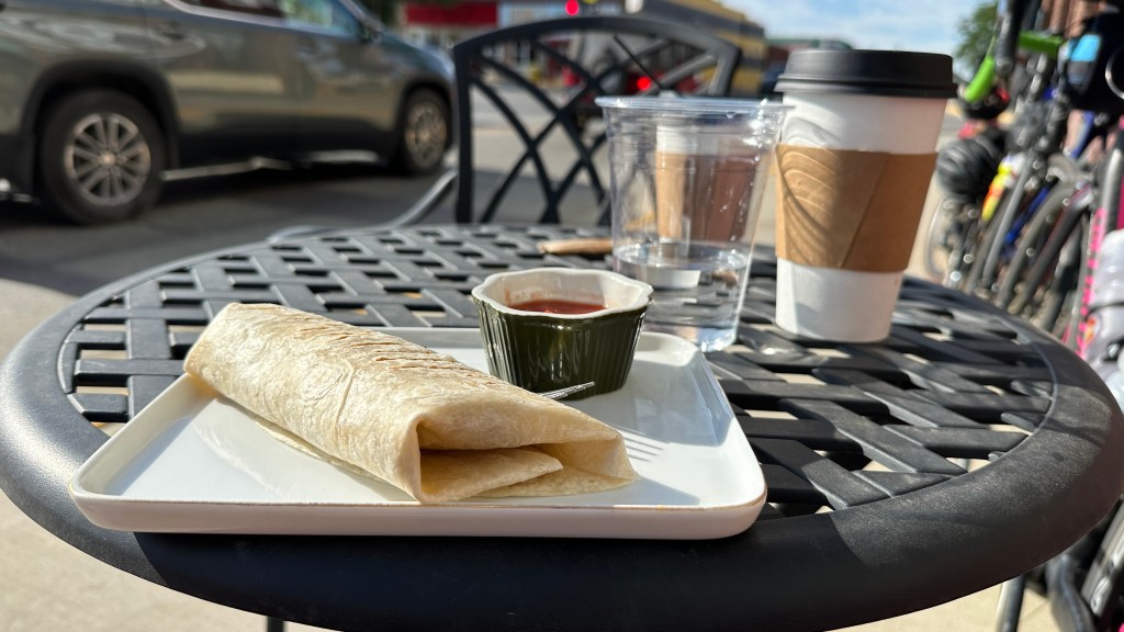
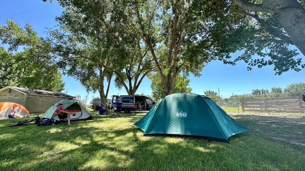
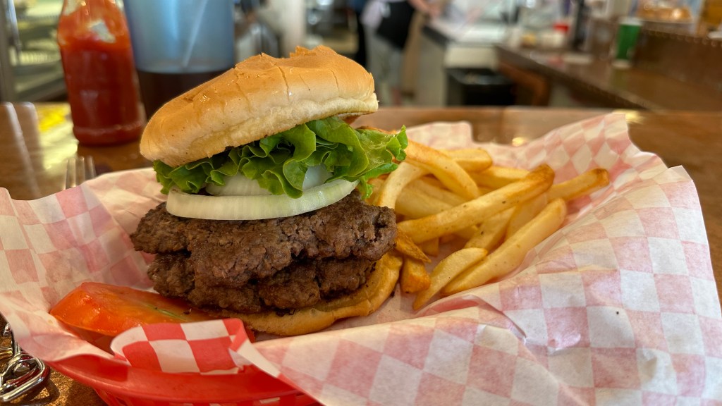
In todays edition of “How TdW makes something way longer than it should be,” I present to you the fact that Greybull and Basin are seven miles apart, but we managed to make it a 45 mile ride between the two. The ride down Shell Canyon was spectacular with smooth pavement and breathtaking views. After a quick stop at Shell Falls, it was quick work all the way to Greybull. For reals, the first 35 miles of this day didn’t count! In Greybull I made the stop at Wyld Sage Coffee House for coffee and a breakfast burrito, keeping to my trend of mid-ride refueling for both body and mind. Though I had dreaded it before this day arrived, the route between Greybull and Basin, which worked its way through the Wyoming small towns of Emblem (population 10… these are real small towns), Burlington, and Otto, ended up being quite nice and quick (especially with the tailwind when we turned east), ending with views towards Cloud Peak and Black Tooth Mountain. 5 hours and 21 minutes later we rolled into the fairgrounds in Basin. It was suppose to be another hot day, but thanks to the tree-covered fairground, it ended up being a pleasant post-ride day. Lunch was Copper Corner Cafe, which was a great place to gobbled down a half-pound hamburger, fries, and strawberry cheesecake milkshake (and enjoy the AC). I rolled back to camp to enjoy 4pm yoga under the trees. Second favorite overnight stop of the tour, much to my surprise!


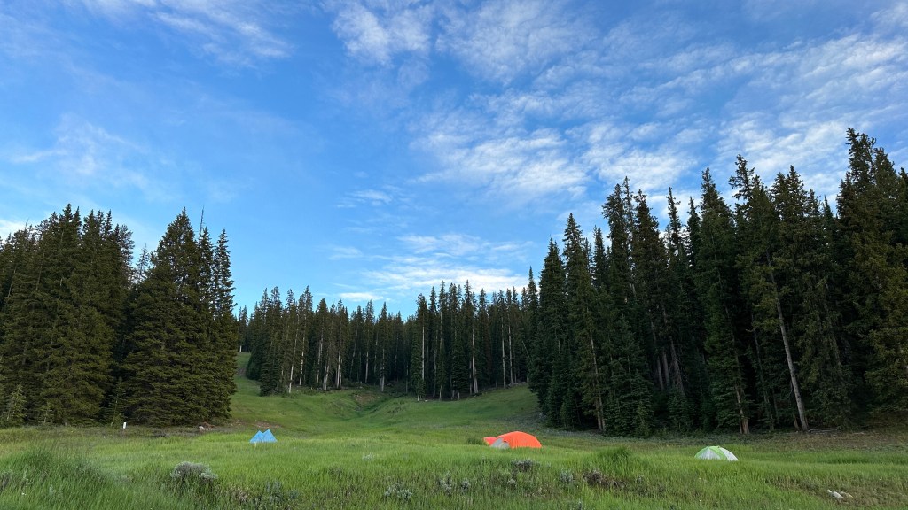
Day 5 – Basin to Meadowlark Lake Ski Area
66.86 miles 6,046 feet of elevation gain

Okay, THIS was the day I was dreading. It was just hard overall, no other way to slice it. Just going Basin to Ten Sleep is hard enough work with uphill, rolling terrain over the 45 miles. Then BAM! Time to climb Ten Sleep canyon in the hot afternoon sun. I don’t have scientific proof, but I think a lot of riders on this day ended up in a SAG vehicle to take them to Meadowlark Lake Ski Area instead of making the full climb. Playing it smart, I choose a coffee and breakfast burrito stop at The Daily Bread in Ten Sleep before making work of the climb. The burrito was amazing, and I scarfed it down with little concern it would just sit in my stomach for the next few hours and enjoyed the 90s country music playing on the TV (yes George Strait, I can still make Cheyenne, this climb won’t kill me!). The climb itself was brutal under the afternoon sun, but was made better by pickle juice shots and random travelers rolling down their windows and cheering me on occasionally. After leaving Basin 6 hours 30 minutes before, I flew down the gravel road into Meadowlark Lake Ski Area, our final overnight stop, forgetting I was on a road bike instead of a mountain bike. Sadly I was hoping for an Antelope Butte type of night, but instead accrued a nasty spider bite on my big toe, hives all over my thighs, sat through a drenching rain and hail storm, and just felt overall exhaustion and frustration as I found yet another hole in one of my duffel bags (TSA isn’t even this rough on bags). Luckily we were able to pitch our tents outside the back deck of the lodge, so we hunkered down inside with the slow Wifi and cooler temperatures until it was bedtime.

Day 6 – Meadowlark Lake Ski Area to Buffalo
44.38 miles 2,829 feet of elevation gain

The night before I tried begging my yoga instructor into letting me road trip with her on this day back to Buffalo in her RV. It didn’t quite work, and I’m happy… as this was my favorite day of riding! The last day of the tour would not be an easy one, with 8.5 miles of climbing greeting us from the very start to gain the top of Powder River Pass (including the gravel road out of the ski area). After the pass, there would be what I call five “sawtooths” of steep up and downs before the final descent into Buffalo. Temps were cool, speeds with fast, and the alpine peaks of the Bighorns spread out before me. 2 hours and 53 minutes later, I rolled into Buffalo High School’s parking lot. Goodbye for now, Bighorns! Next time back should hopefully be to backpack into Cloud Peak, one of Wyoming’s 13ers!


348 miles total with 20,022 feet of climbing… I survived! Now let’s get back to hiking!
If bike tours ARE your thing, Tour de Wyoming is an amazingly cheap option that keeps participant numbers low. I am biased, but Wyoming is also a great place to tootle around on a bicycle!

1 thought on “Tour de Wyoming 2023”